
|
Yosemite
High Sierra Camp Loop Hike - Day 1
An edited version of my
adventure on the High Sierra Camps Loop appeared in the second issue
of Sidewalk
- A hiking and
backpacking
magazine
|

Day 2 |
|
Trip Date: 08/21/2014
Distance: 7.2 Miles
Vertical Gain:
-900'
Group Size:
6
Hike Rating:
Easy
Moderate
Hard
Strenuous |
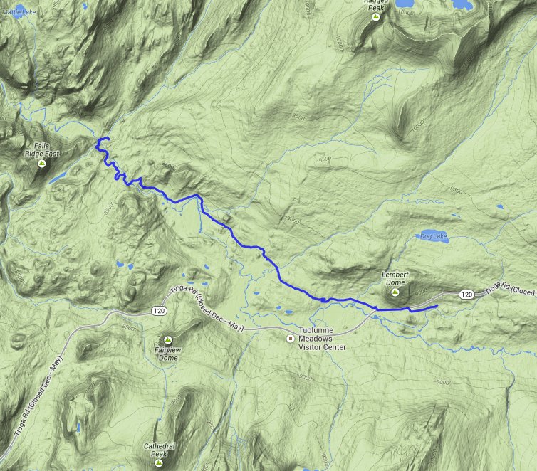
 GPX for
this trip
|
|

|
Start Coordinates: |
N 37 52.699, W 119 20.315 |
|
End Coordinates: |
Same as Start Coordinates
|
| Car Shuttle
Req'd: |
No |
|
Parking
Directions: |
Take
Highway 395 south from Monitor Pass toward Mono Lake. At Lee
Vining, turn on Highway 120 (Tioga Pass) and enter Yosemite Park on the
east side. About 10 miles into the park turn at the
Wilderness
Permit area (Tuolumne Meadows Lodge Road) and continue to the parking
coordinates for backpacker vehicles. |
| Hazards of
Note: |
Wildlife,
especially bears. Some of the trails are difficult and
footing
can be tenuous at times. Much of the uphill and downhill
sections
are made up of granite steps which are rough on the feet after time. |
|
Crowd Factor: |
Mixed.
Yosemite is a very popular destination during the summer
months,
and this hike and option to stay in the HSC locations with served meals
is available only by lottery system. The further into the
park
the trails will be less crowded, but there are many places for day
hikers to pick up the trail system. |
General Notes:
Day
one of this backpacking trip is only a little over seven miles, and for
the entire way you are basically headed down the Tuolumne River gorge.
You will eventually drop almost 1000 feet from the trailhead,
but
never very much at once so the going is easy. You will start
off
at Tuolumne Meadows, enjoying grand vistas of Cathedral Peak to the
south and then will pass by Lembert Dome as you begin your descent
toward the Glen Aulin High Sierra Camp. |
|
|
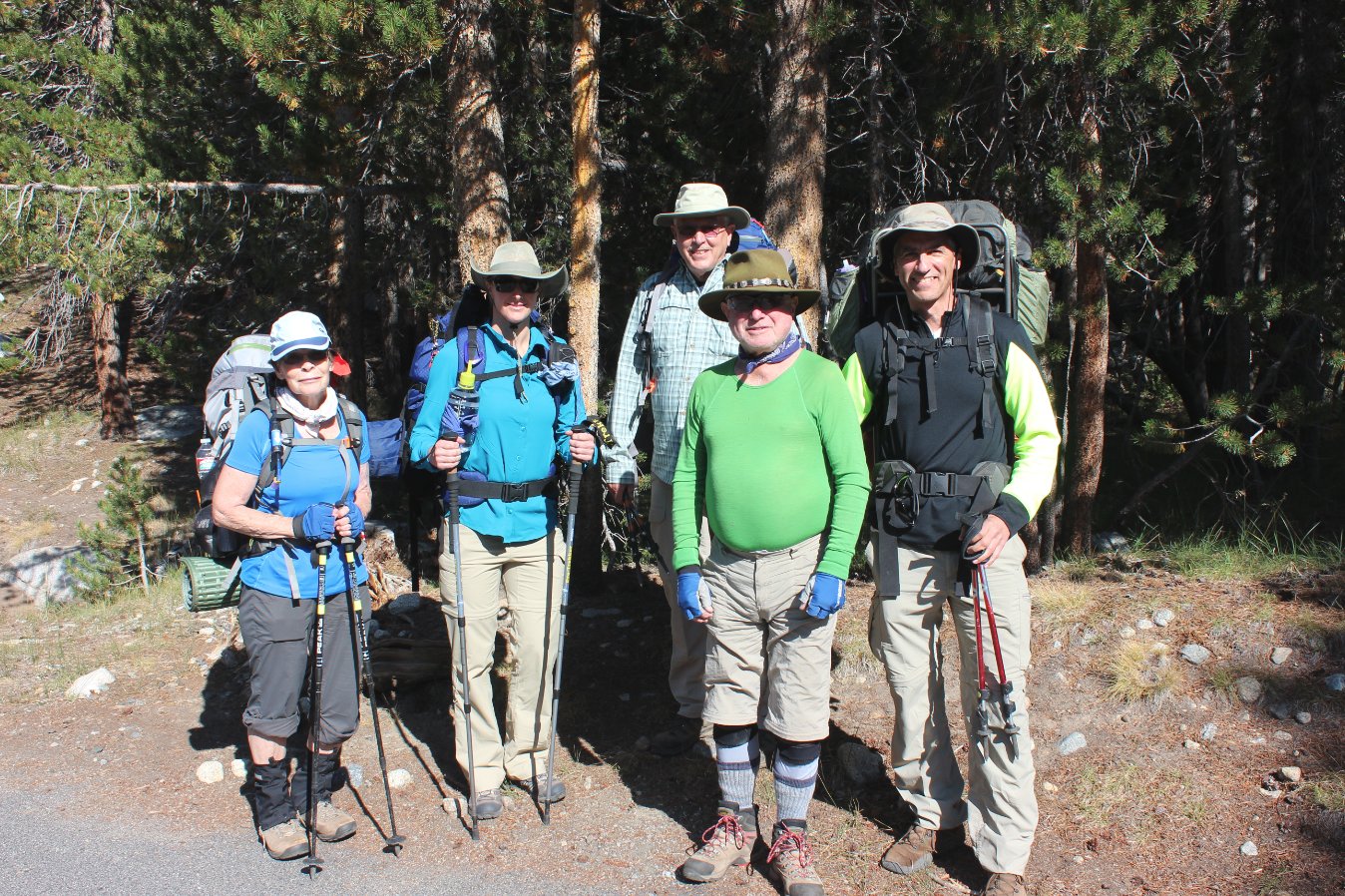
Our group, minus myself, at
the start in Tuolumne Meadows. |
 |
|
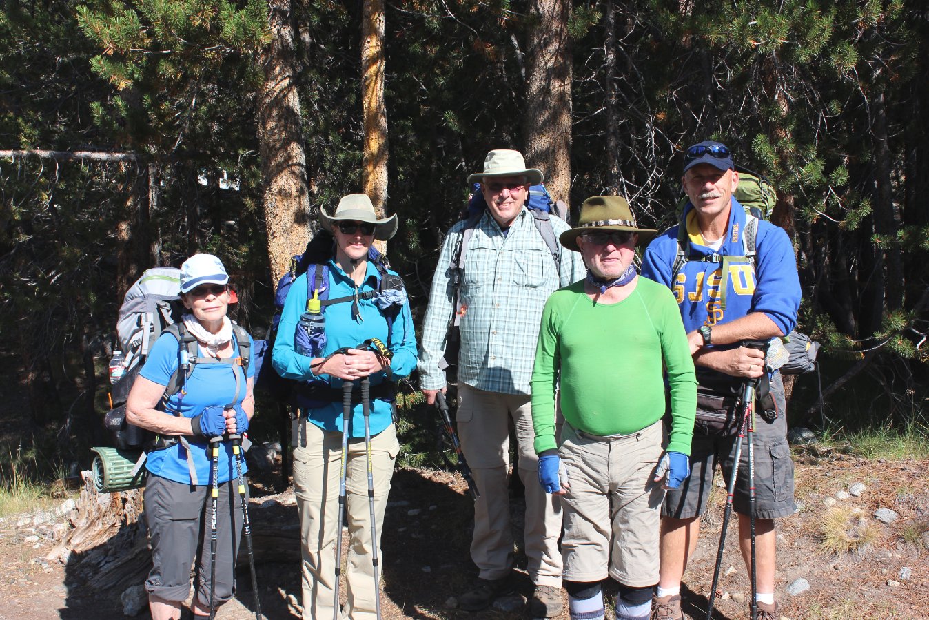
One more group shot with me in
it this time around.
|
 |
|
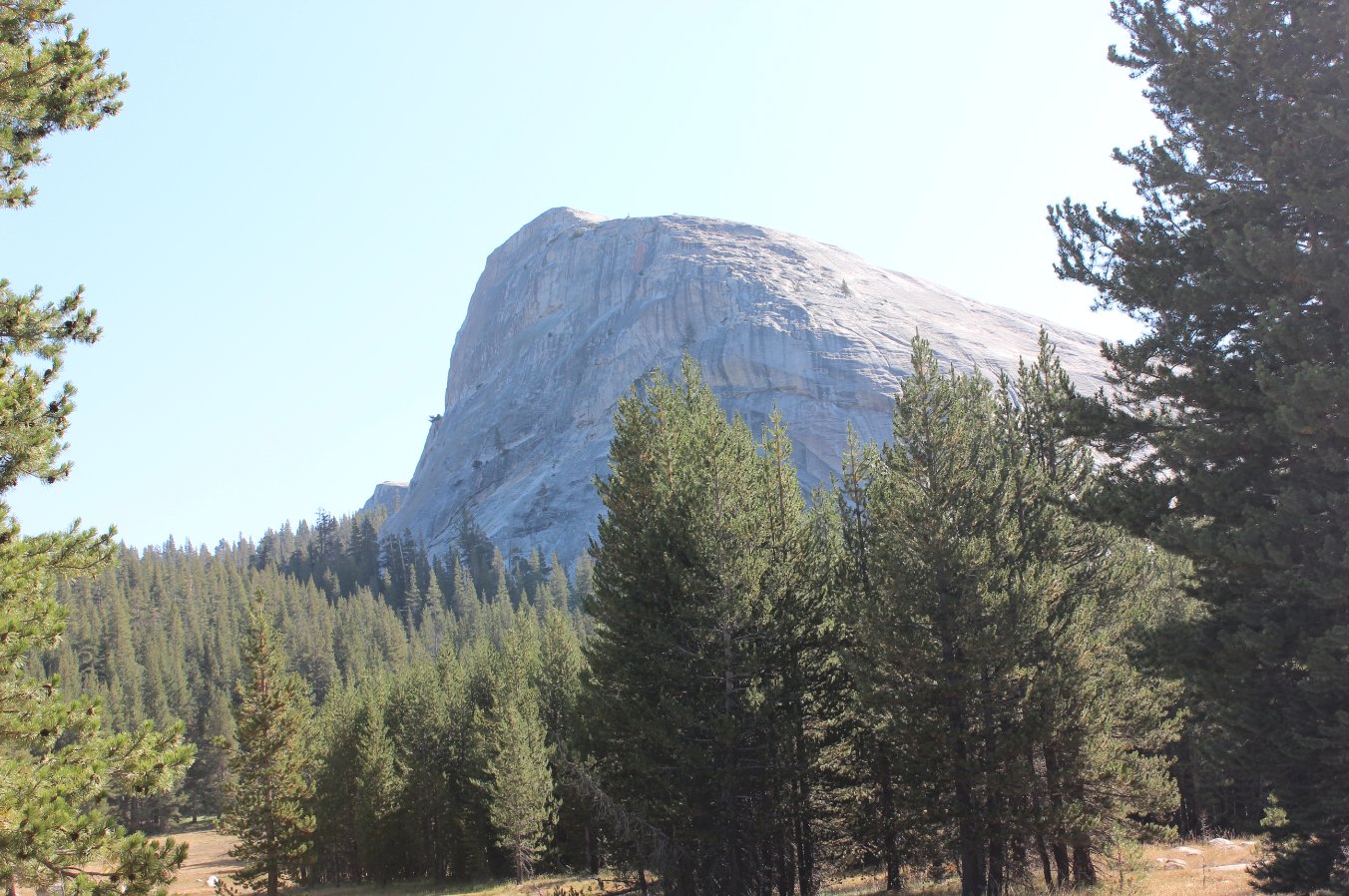
Very close to the trailhead is
Lembert Dome, as massive granite dome that towers hundreds of feet
above the trail. |
 |
|
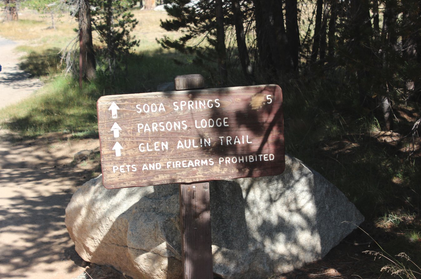
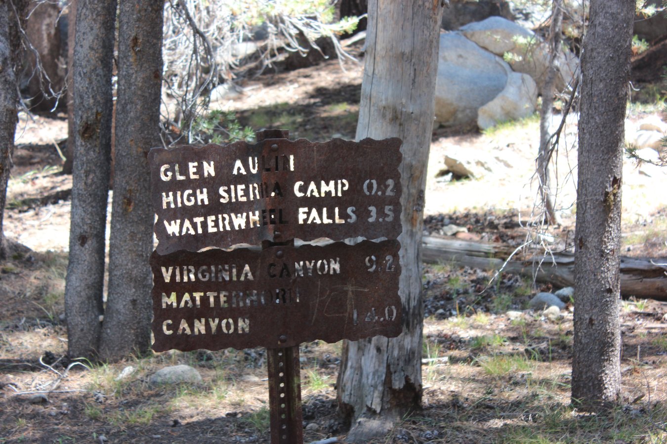
The only sign like this we
saw. Most of them were heavy duty metal signs with the words
cut out of them (to last through the harsh winters.) |
 |
|
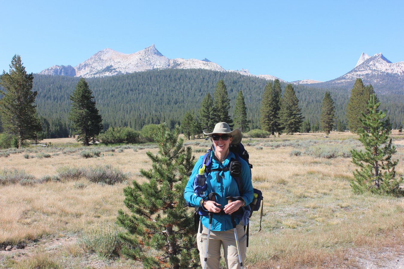
One of our hiking team, Diane,
at the meadows with Cathedral Peak behind her on the right.
|
 |
|
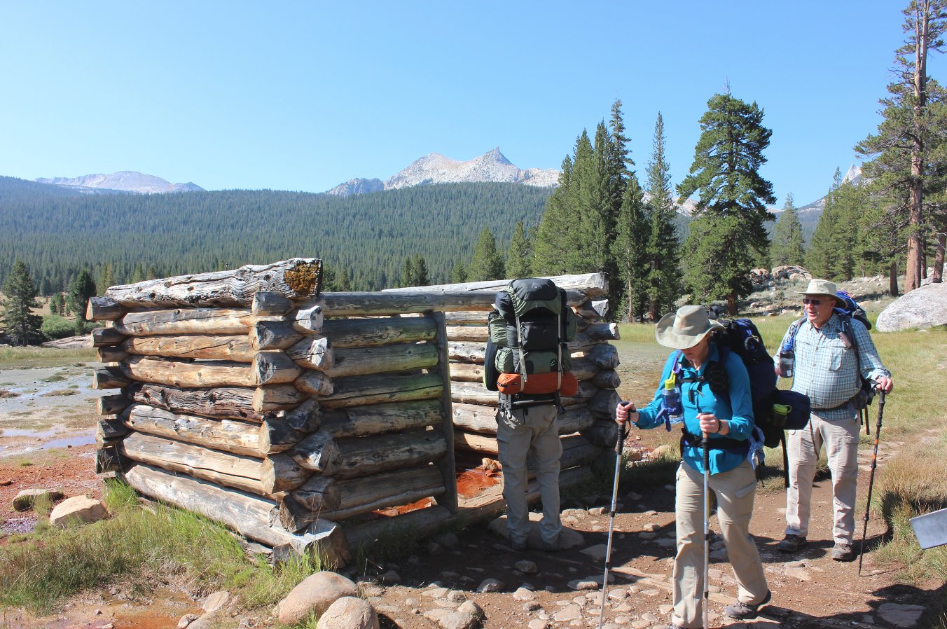
A little bit of protection for
the natural soda springs at this location. |
 |
|
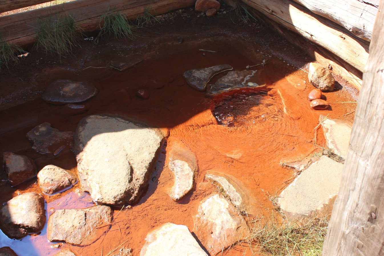
A closeup of the springs
themselves. Doesn't really look all that tasty, but some have
tried it and lived to tell the story! |
 |
|
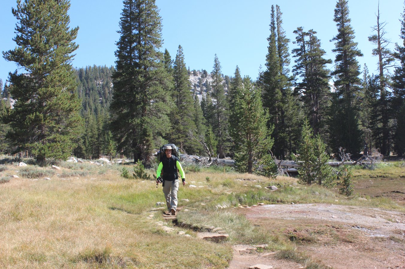
Phil making his way to the
springs for a closer look.
|
 |
|
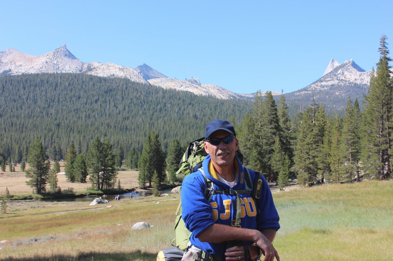
A shot of myself stopped for a
moment in front of Tuolumne Meadows. |
 |
|
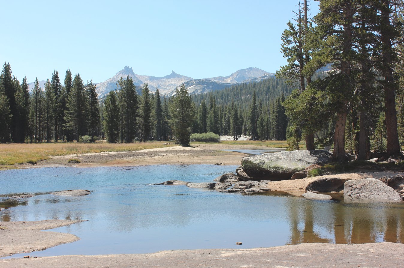
Crossing the Tuolumne River on
a small footbridge. |
 |
|
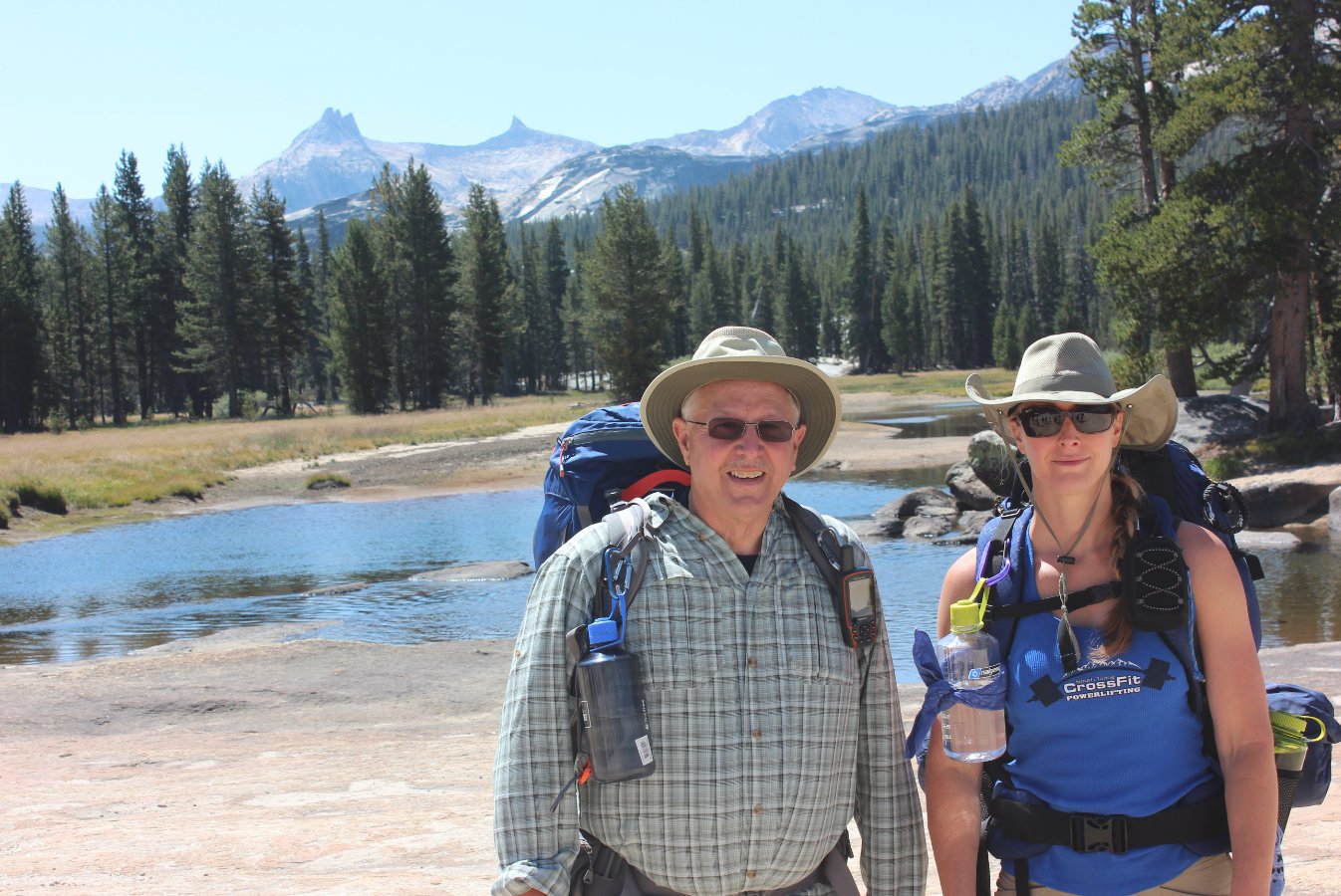
Brent and Diane at Tuolumne
Meadows on the first couple miles of our first day. |
 |
|
Following the river along the
way. |
 |
|
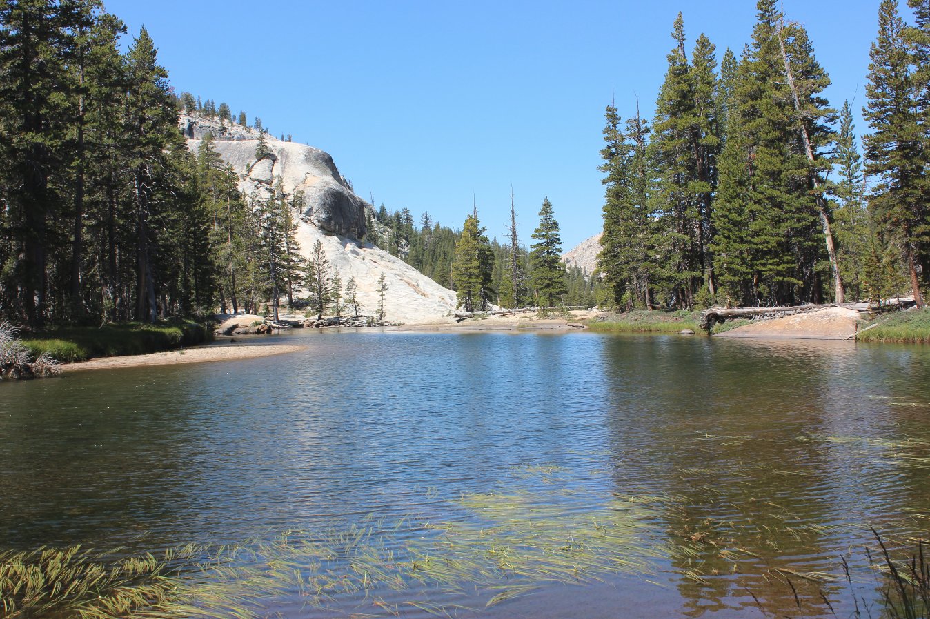
There is so much granite
everywhere in this part of the park, it is amazing to imagine the
forces that created it in the first place. |
 |
|
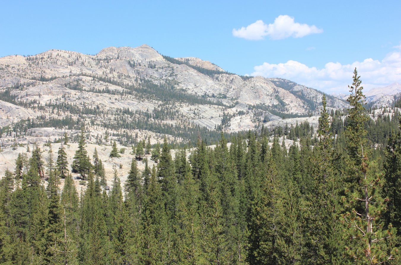
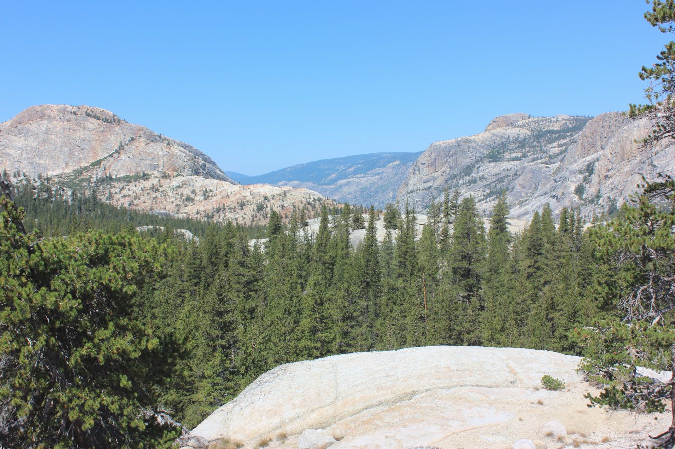
Looking down the canyon toward
our eventual destination of Glen Aulin High Sierra Camp. |
 |
|
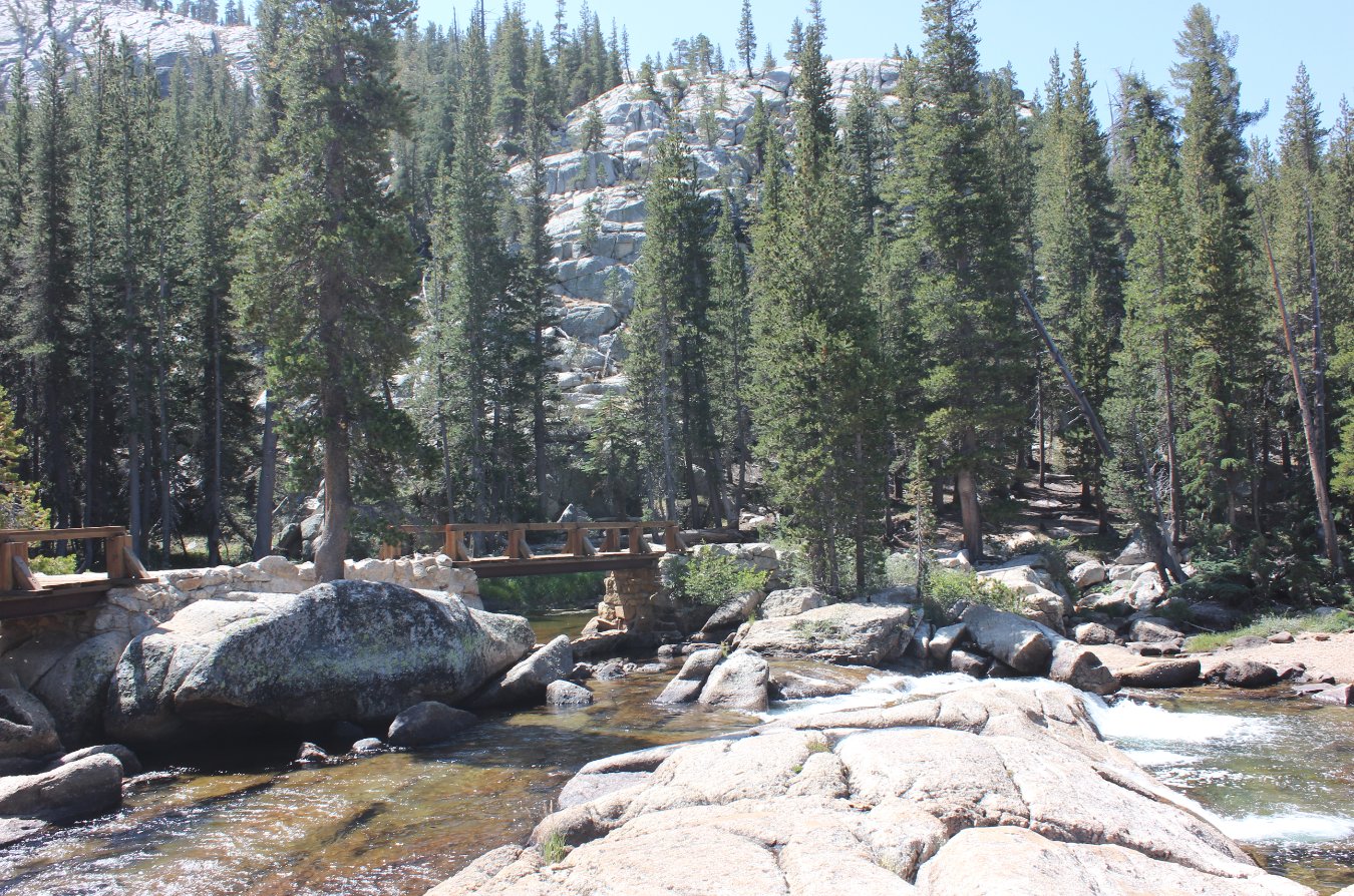
Crossing the river is pretty
easy with the bridges they had along the way. |
 |
|
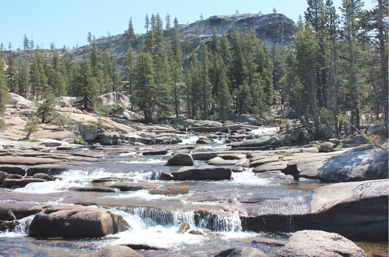
We had a great lunch spot on
the rocks in the middle of the Tuolumne River, which was flowing enough
to soak our feet and look for fish. |
 |
|
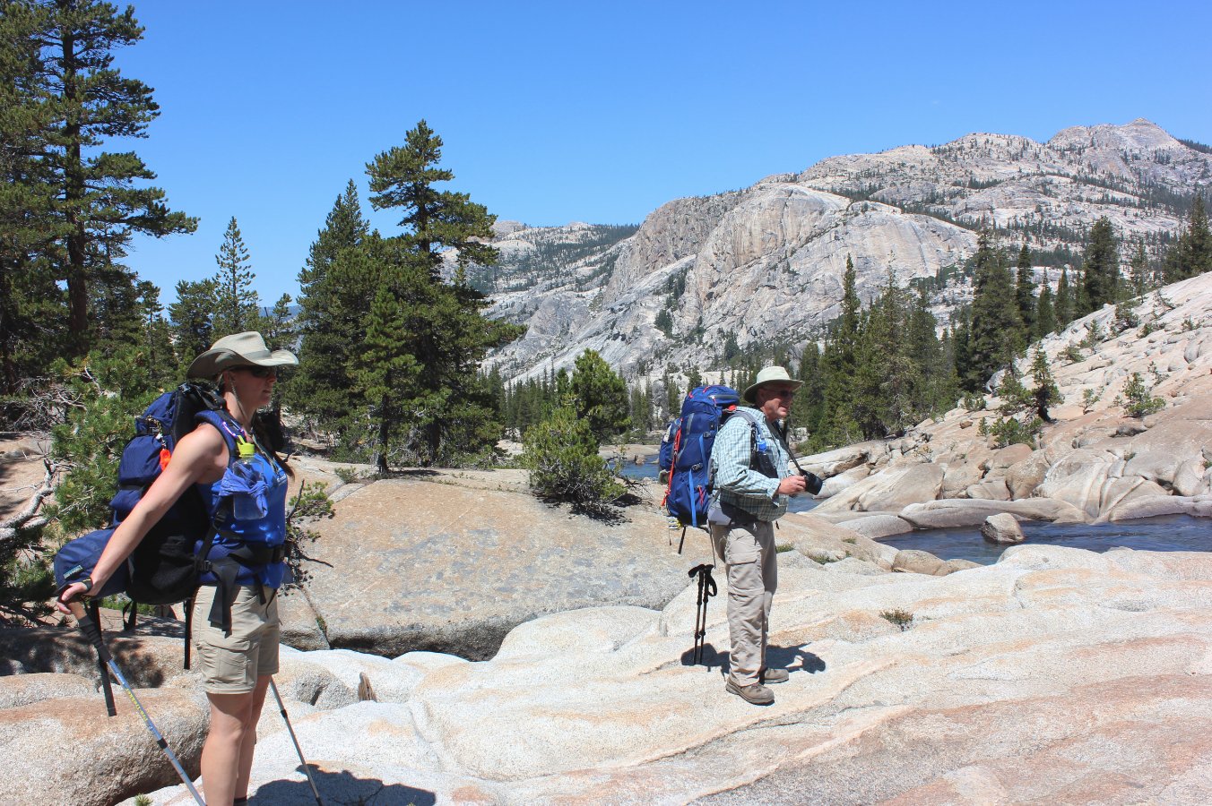
After a good meal we got the
packs back on and headed the last couple of miles toward Glen Aulin. |
 |
|
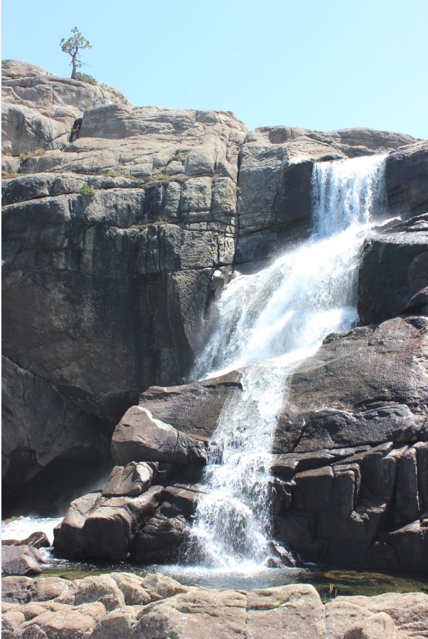
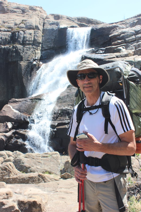
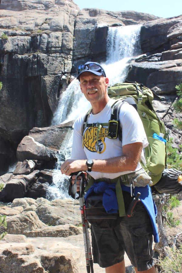
Tuolumne Falls was an
unexpected sight along the way. We came around a corner and
there it was! |
  |
|
So close to our first day's
destination. These signs are the main ones we found all along
the way. Very durable in the harsh winters that they have to
live through from year to year. |
 |
|
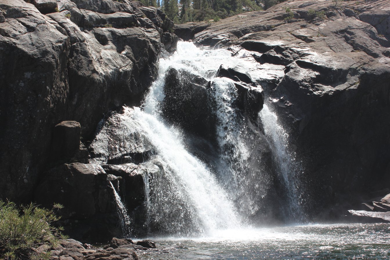
Just about 500 feet from the
camp at Glen Aulin are the Cascade Falls on the Tuolumne River.
Very nice, and a great place to cool off after the hike. |
  |
|
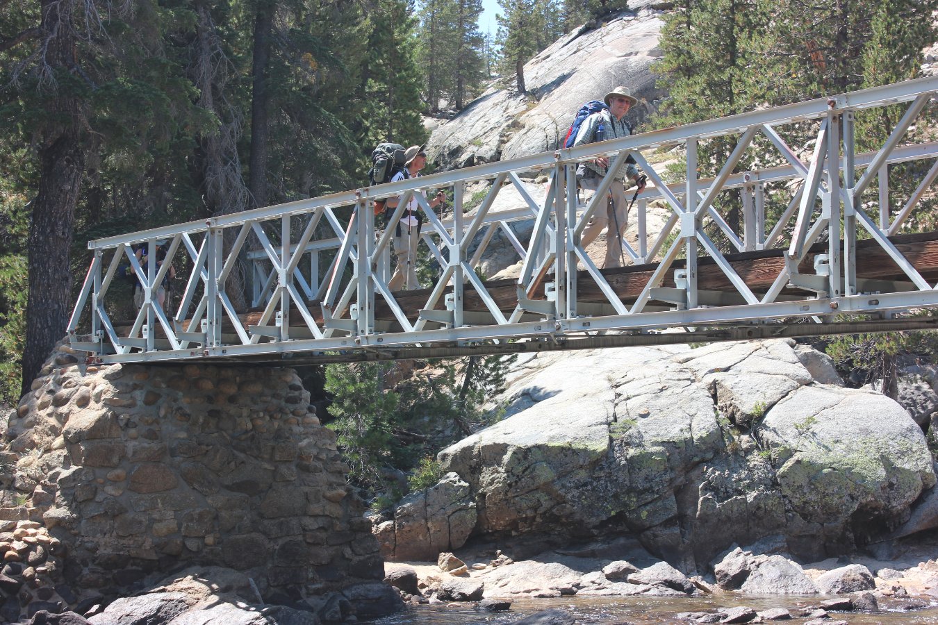
One last bridge to cross with
the falls to the left and we were at our home for the first
night. |
 |
|
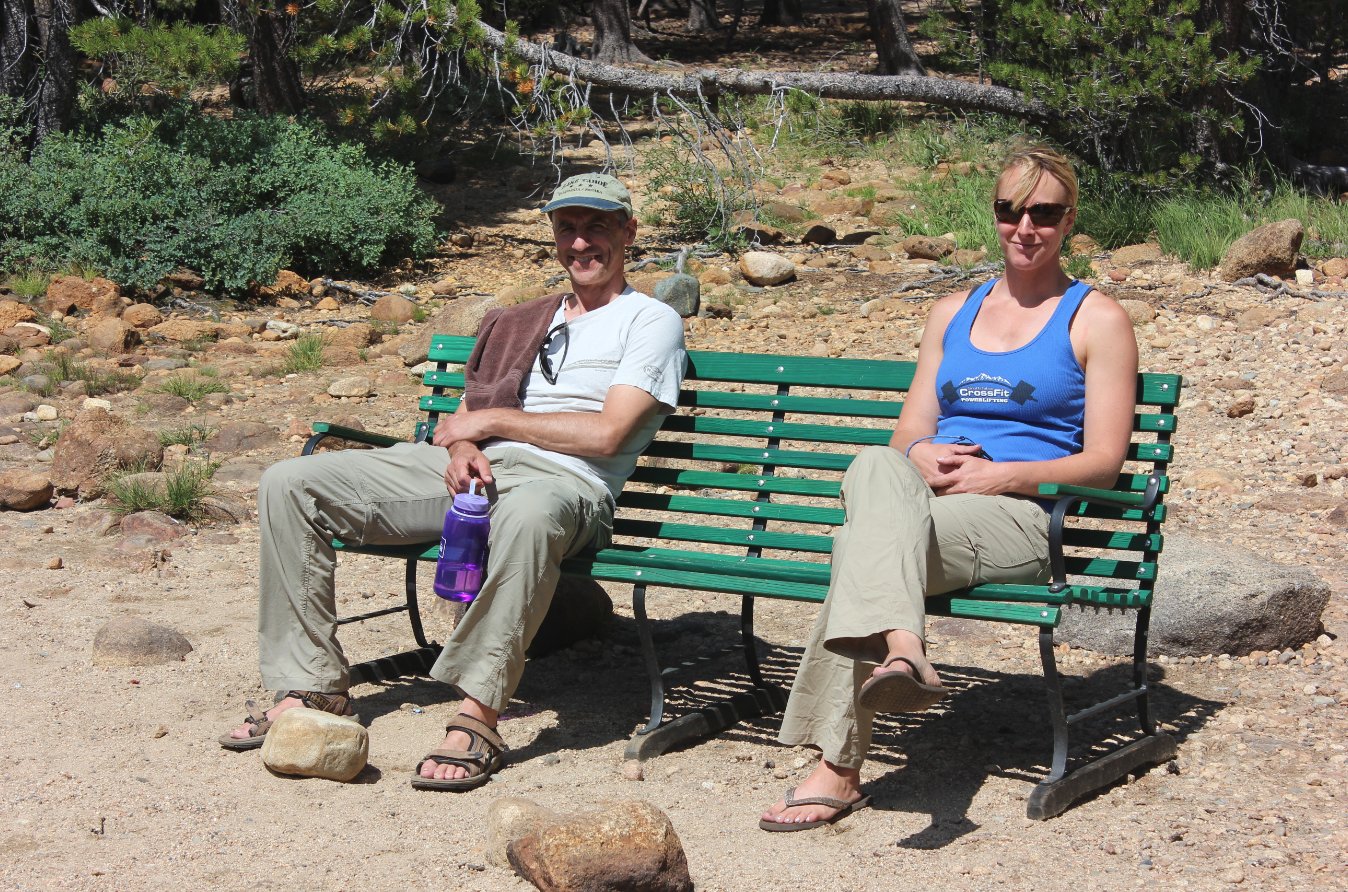
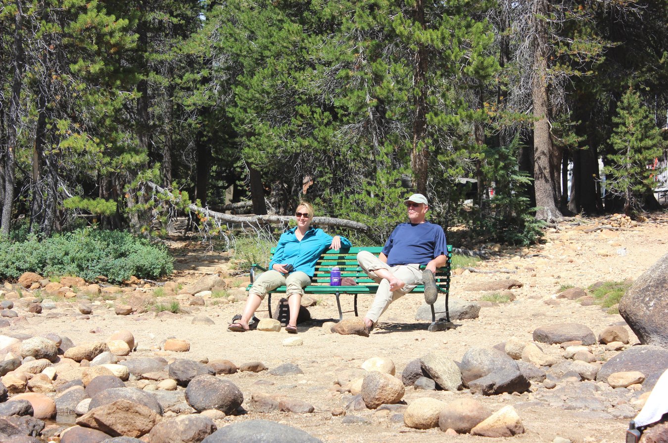
Front row seats were available
for the view of the falls and the people like myself crazy enough to
get in and cool off for a little bit. |
 |
|
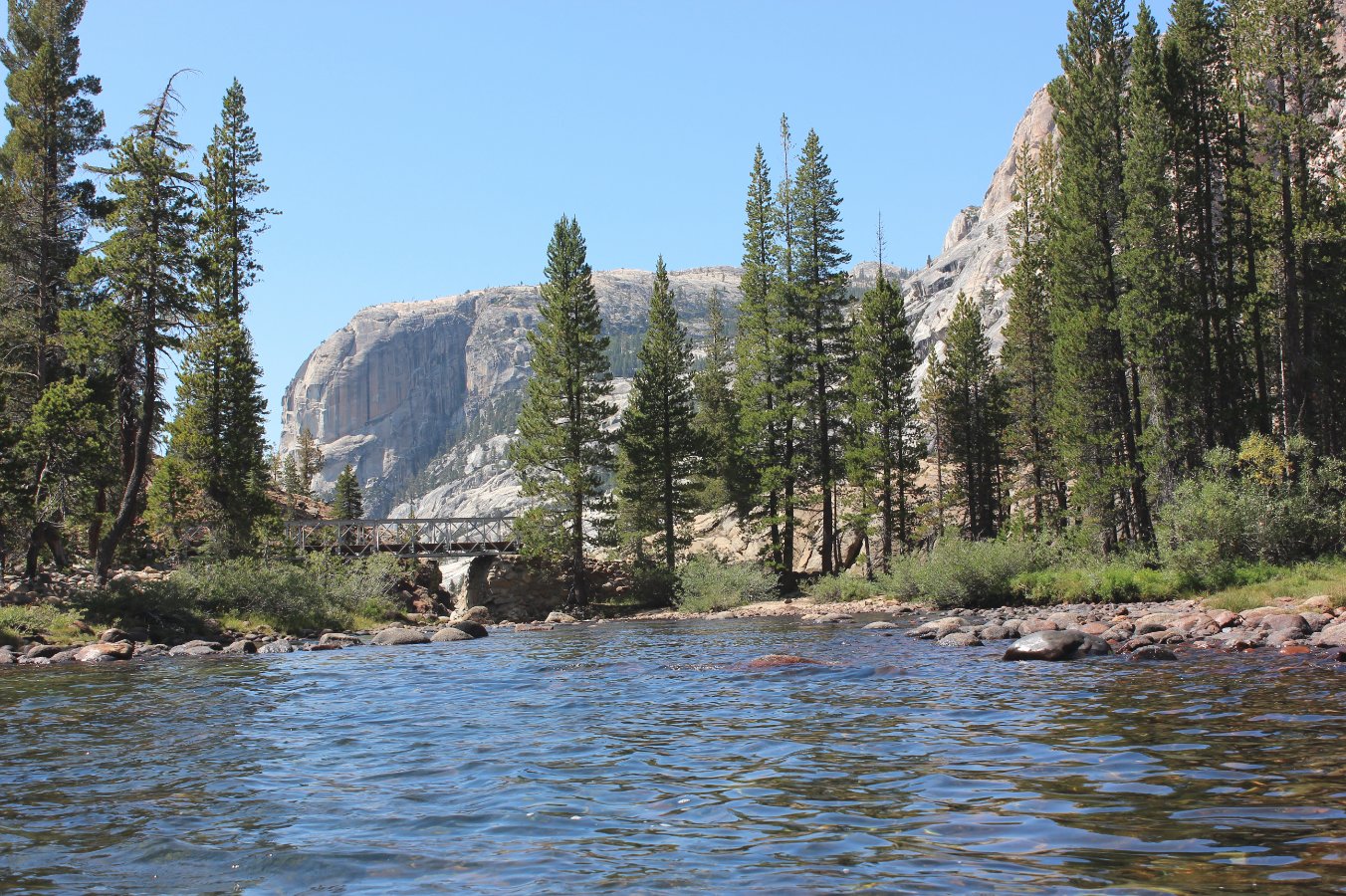
Looking from the falls down
the river past the bridge and further into the Tuolumne River canyon. |
 |
|
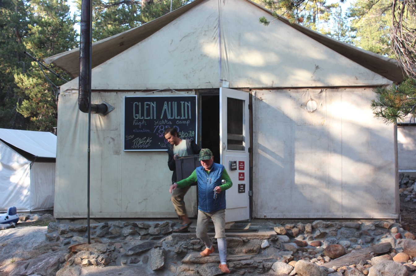
The store and mess hall at
Glen Aulin HSC. Great lemonade was available as soon as you
arrived at each of the camps for the hikers staying the night. |
 |
|
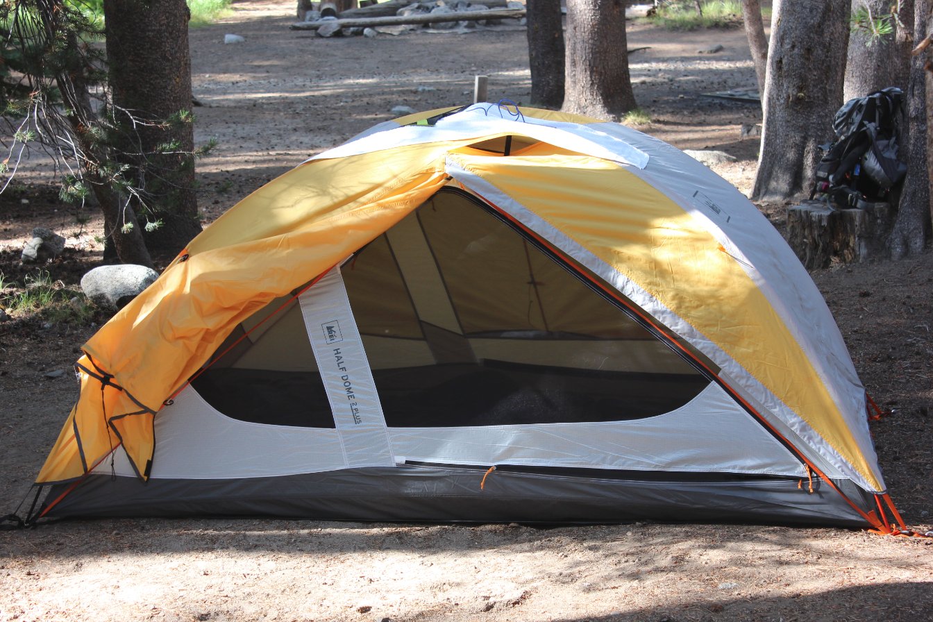
Since we had the 'meals only'
option for the trip, this was my accomodation for the week.
It was GREAT! |
 |
|
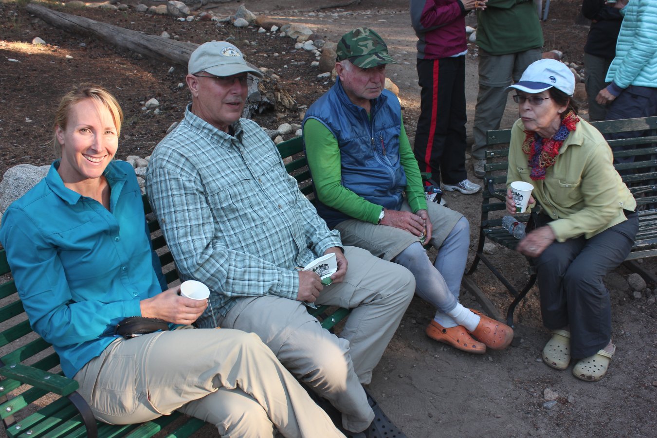
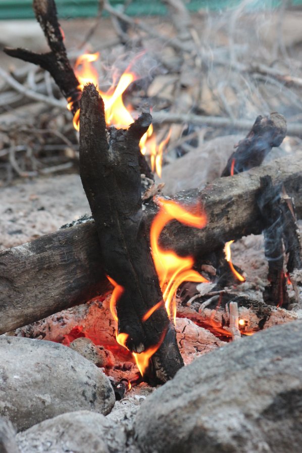
Our group enjoying the warm
campfire in the center of the HSC, while we waited for a welcome warm
meal that stuffed us to the gills! |
  |
|
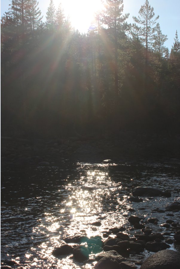
A great sunset at Glen Aulin
just capped off a fantastic first day of the backpacking adventure. |
 |
|
GPS Track of the full hike. |
 |


 GPX for
this trip

