|
Bogus
Thunder from Deadwood Hike
|
|
Trip Date: 04/15/2016
Distance: 5.0 Miles
Vertical Gain:
2300'
Group Size:
4
Hike Rating: Easy
Moderate
Hard
Strenuous |

 GPX
for
this trip GPX
for
this trip
|
|
|
Start Coordinates: |
N 39 04.877, W 120 41.326 |
|
End Coordinates: |
Same as Start Coordinates |
| Car Shuttle
Req'd: |
No |
|
Parking
Directions: |
Take
Highway 80 to Foresthill Drive, and head east towards Foresthill town.
You will stay on this road for approximately 32 1/2 miles,
until you reach the intersection of Deadwood Rd on the right.
Turn here and follow this mostly dirt road (passable by
street vehicles) for nearly 9 miles until you reach Deadwood
Cemetary, the start of your hike. |
| Hazards of
Note: |
Rattlesnakes, ticks, poison
oak, mountain
lions, significant route-finding and steep trail. |
|
Crowd Factor: |
Negligible.
This is a mostly unused trail once off the Western States 100
which only has a handful of visitors a year. |
General Notes:
Heading
onto the Western States 100 trail just to the left of the Deadwood
Cemetary entrance, the first mile is a reasonably gradual downhill.
The old trail junction comes up on your left, and can be
pretty
difficult to spot. Follow this old leaf-covered trail for
another
half mile, until you crest on the small ridge just past a tree which
looks like a cross. Past this tree is the trail which heads
down
the south side of this ridge, taking you down a very steep 1500' in
elevation over the next mile and a quarter. Following the
trail
is pretty difficult during this section, and it is mostly unused these
days meaning that the poison oak has grown unabated for a long time.
You will be glad to have worn your long pants, as contact
with
the plant is unavoidable.
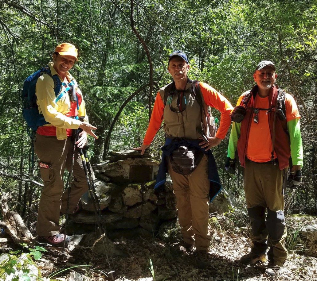
When you reach the Bogus Thunder
campsite and mining claim plaque, the trail continues to the west, on
down to the Middle Fork of the North Fork of the American River below.
There is a waterfall close by the camp which is alluring, but
we
decided not to visit it to ensure enough energy for the significant
climb back out of the canyon after a lunch stop at the river.
|
|
|
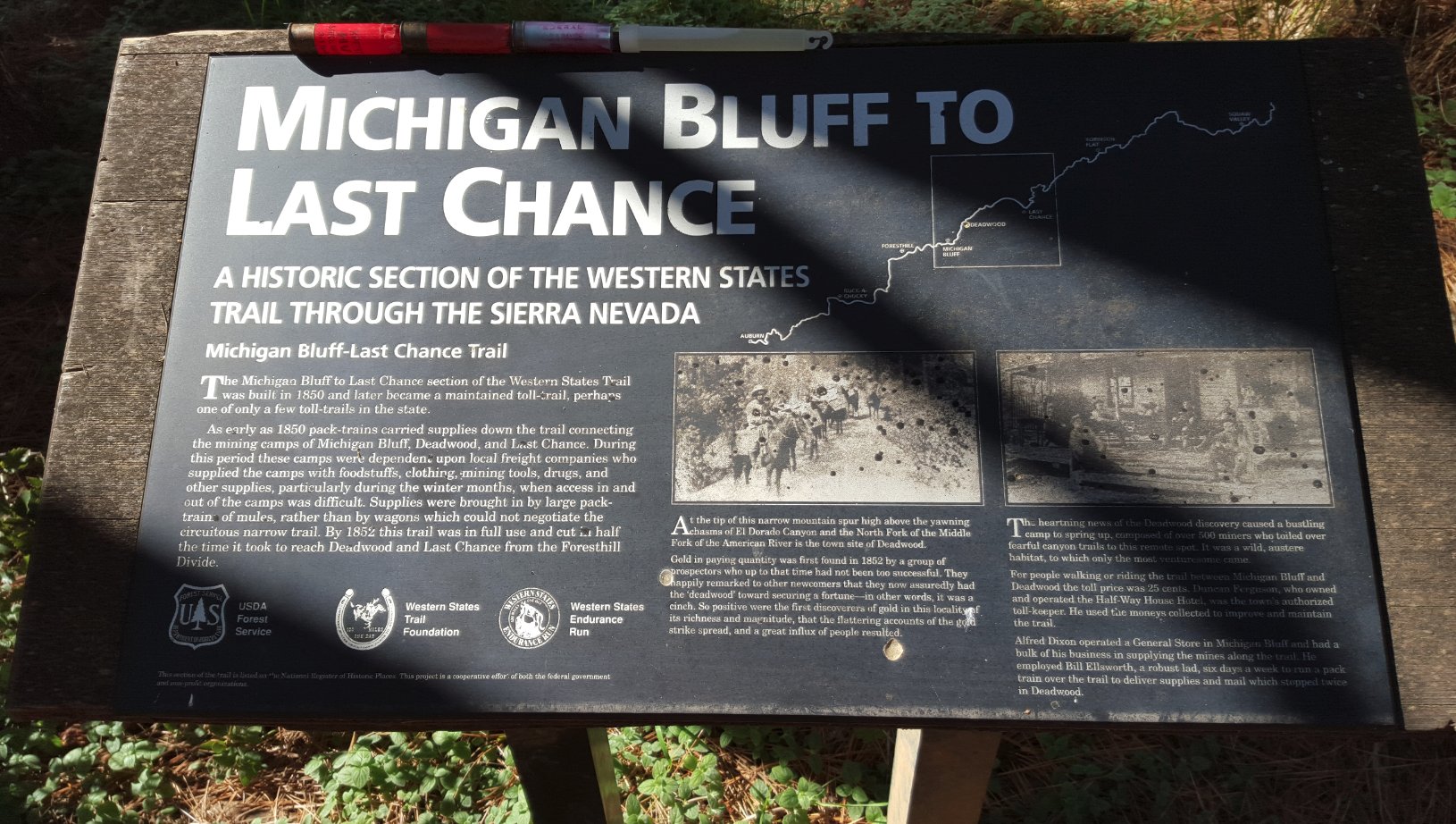
An information sign near the
trailhead with loads of historical info. |
 |
|
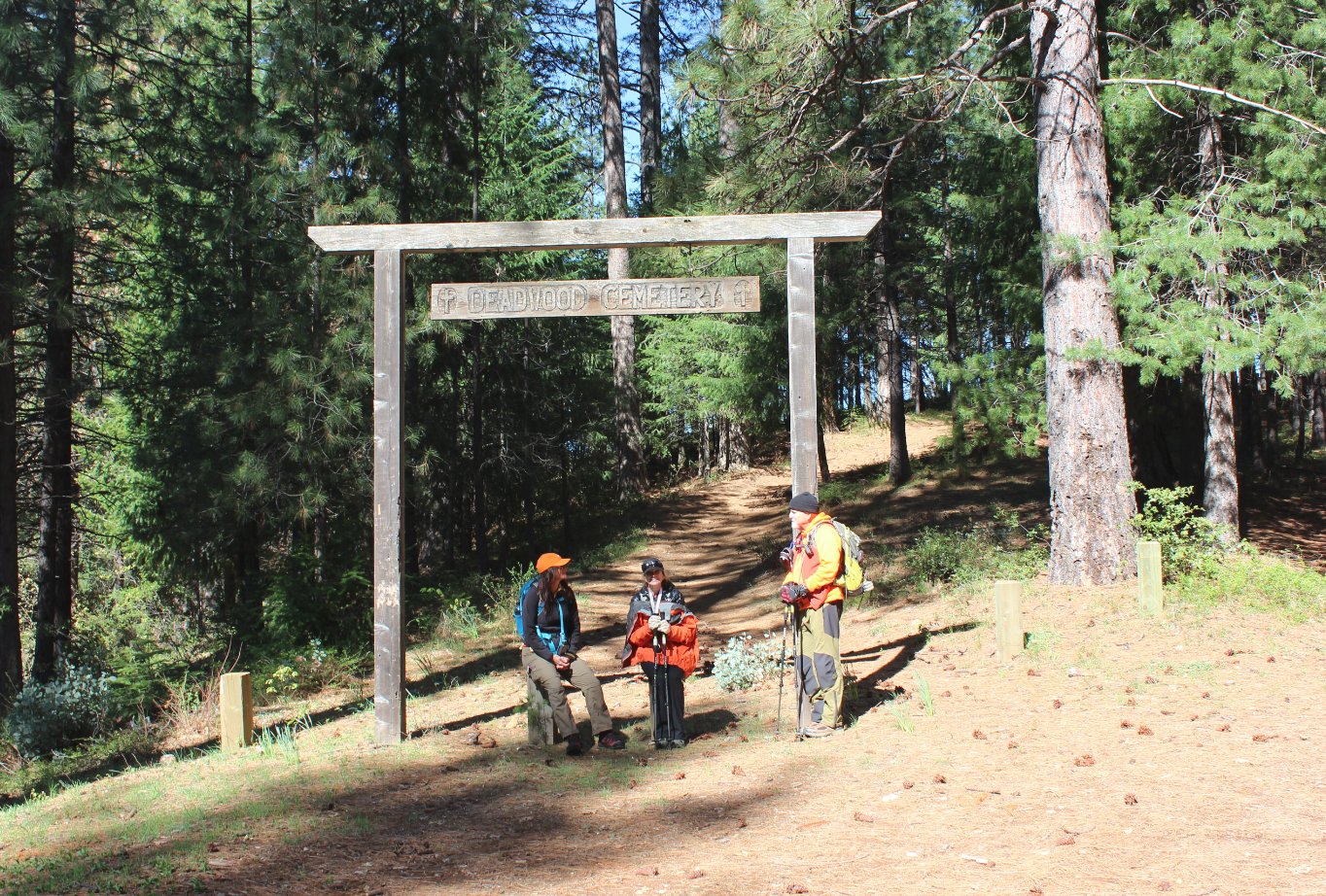
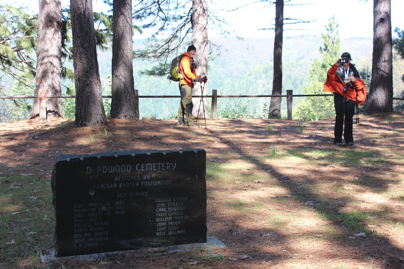
Nearby Deadwood Cemetary is a
peaceful setting for an old, historically interesting cemetary for the
gold mining locals. |
  |
|
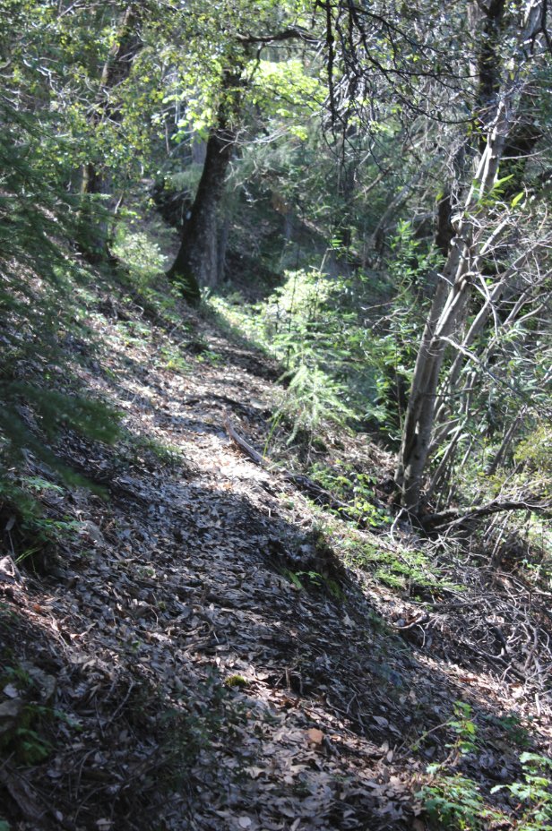
The first mile is a relatively
tame downhill along a section of the Western States 100 trail.
|
 |
|
Finding
the junction to the old trail down to Bogus Thunder means you will be
following more of a hint of a trail from long ago as opposed to a
well-defined route. |
 |
|
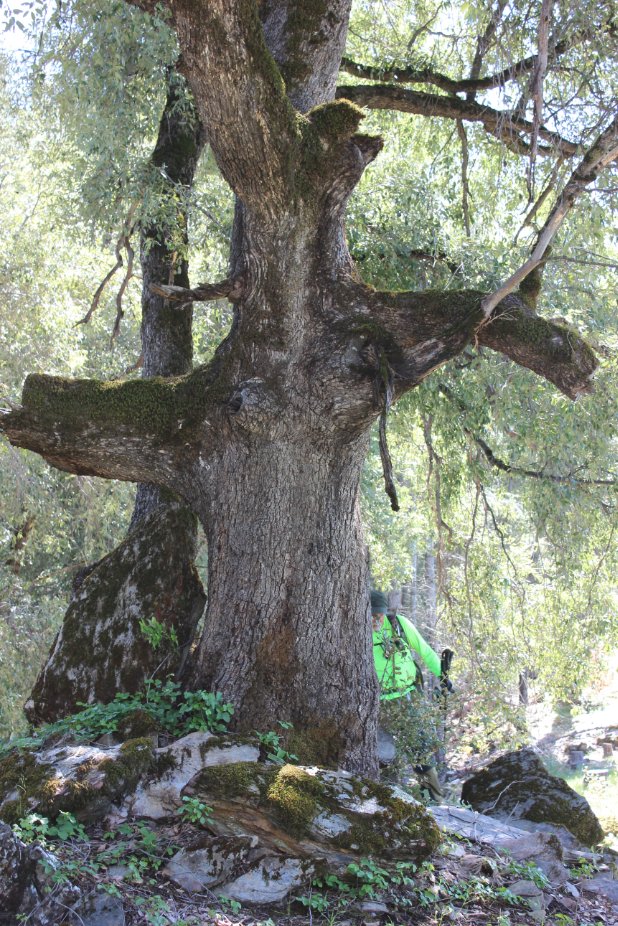
After a
half mile of leaf-covered trail this 'Cross' tree will be ahead of you,
with the path down the side of the mountain toward the river just ahead
and on the left. |
 |
|
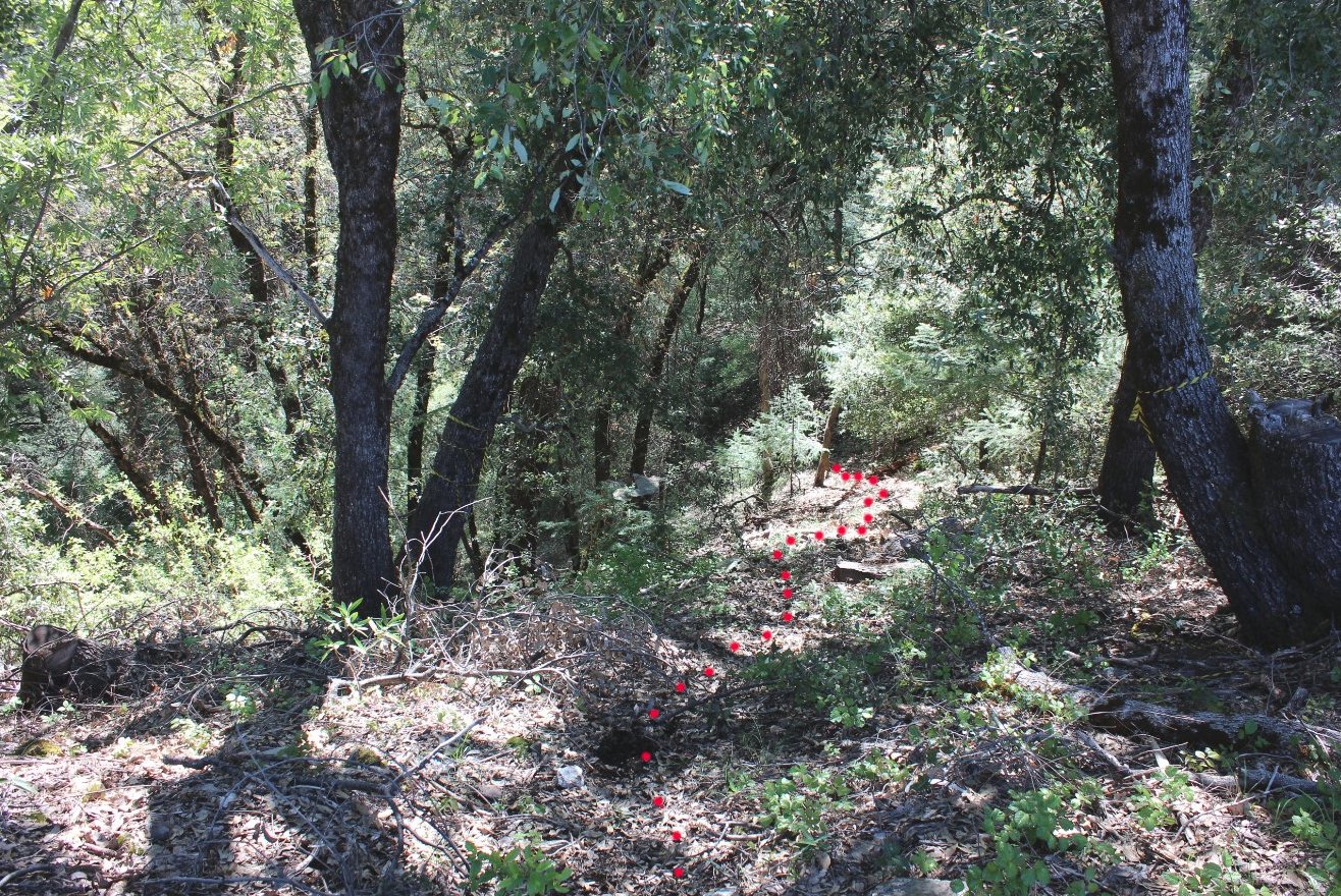
This is
the trail heading down from the ridge near the Cross tree, probably the
most welll-defined of the entire rest of the journey. Too bad
the
red dots weren't actually there while we were making our way down and
back up afterward. |
 |
|
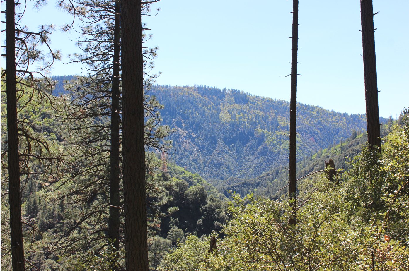
There are
some very nice views along the way down (and back up,) which allow a
brief pause to catch your breath or wipe away some of the poison oak
which has to be navigated through at some point along the way.
|
 |
|
Not quite
to the river is the old Bogus Thunder mining campsite, with a pretty
spectacular waterfall nearby and old mining equipment scattered about.
This historical marker indicates the mining claim from the
bygone
era. |
 |
|
The last
bit to the water is well worth the extra effort, as you are rewarded
with a place all to yourself with ghosts of history all around you.
|
 |
|
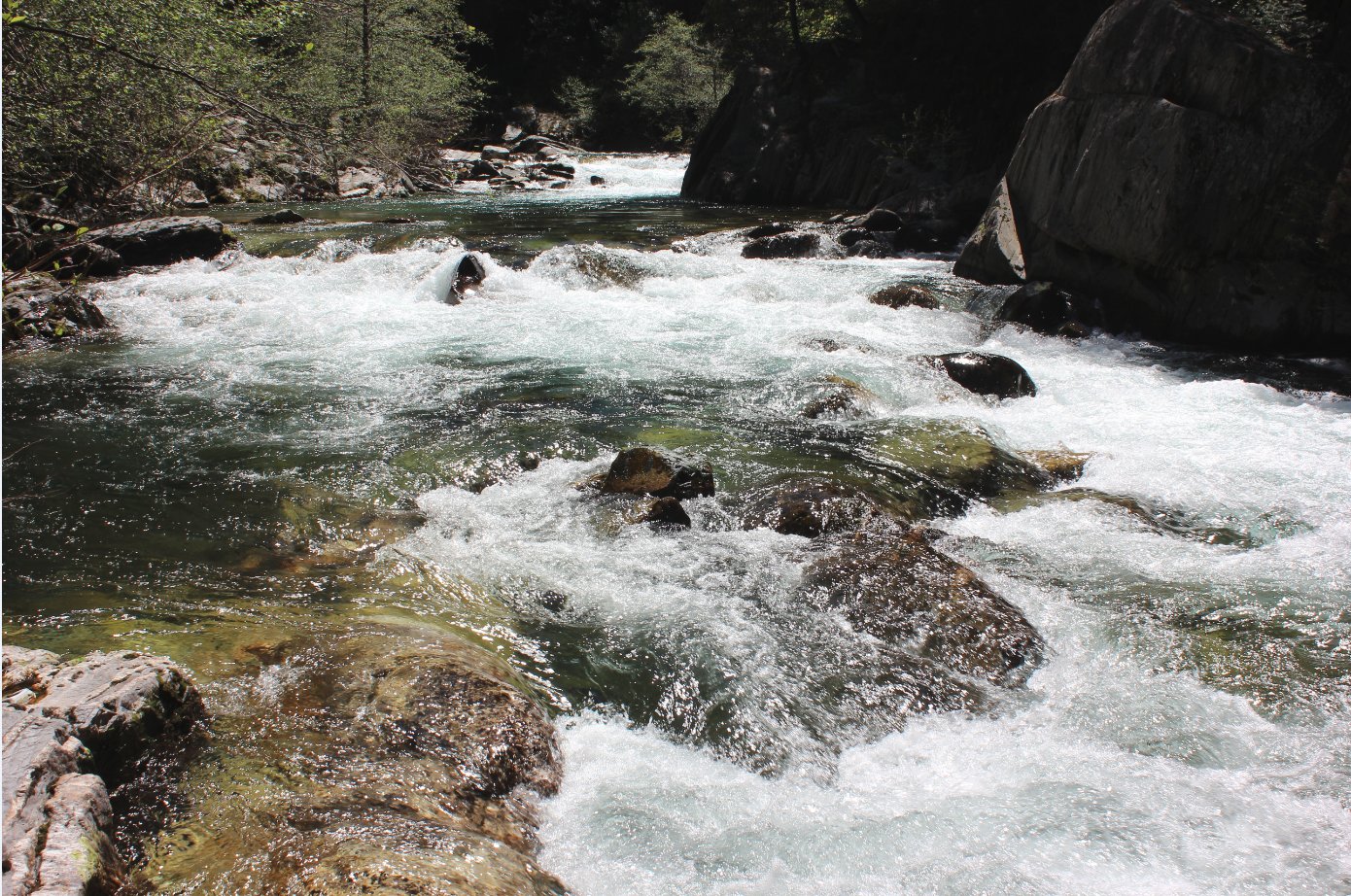
Finally
down to the water, there are a couple of mine locations nearby, and an
old cable still is visible strung across the river, as well as remnants
of an old wall or road support across the way.
|
 |
|
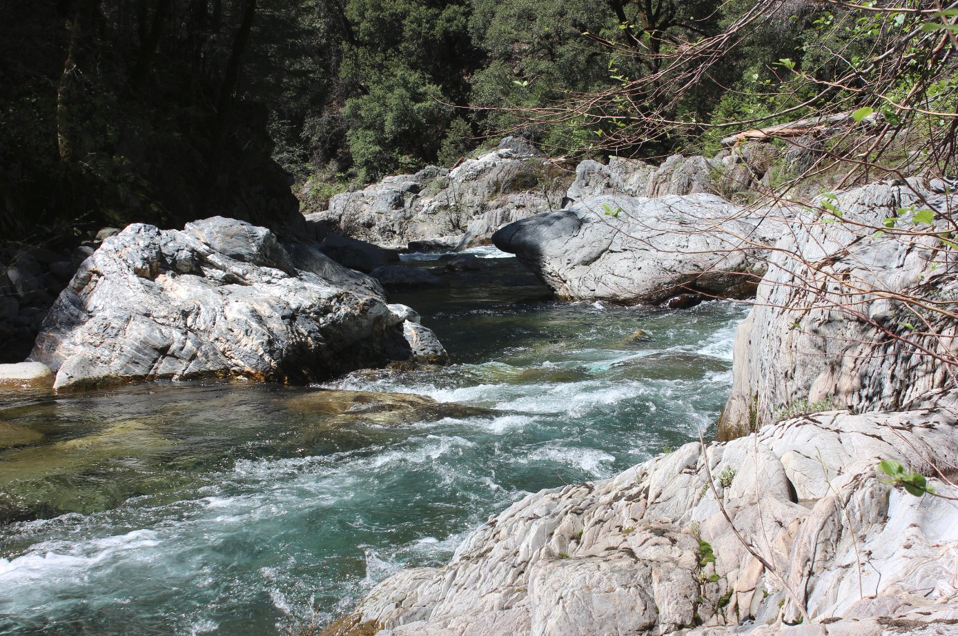
About
a half mile to the east, following the water this direction is an open
area for camping (per some previously found reports,) but we were happy
to hang out in the spot and enjoy lunch.
|
 |
|
Scattered
all around the rocks were these fishing/mining weights, which after
picking one up was apparent why nobody had decided to haul them back up
the mountainside.
|
 |
|
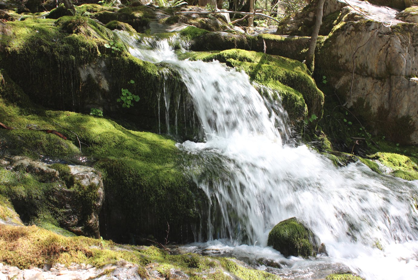
Water
from the falls near the mining site a little bit above our lunchspot
made for a fantastic setting as it cascaded down the mountain and
finally into the river next to us.
|
 |
|
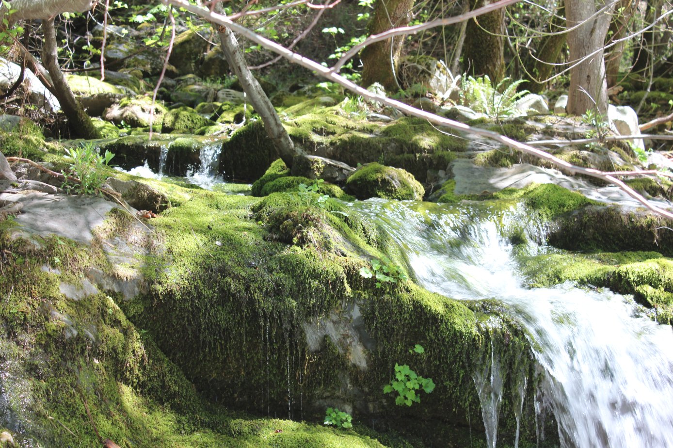
Another look at the lush area
created by what must have been a very convenient water source for the
miners at the site.
|
 |
|
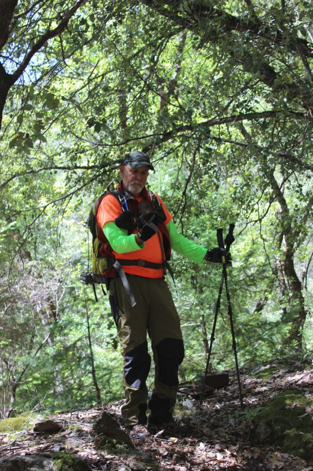
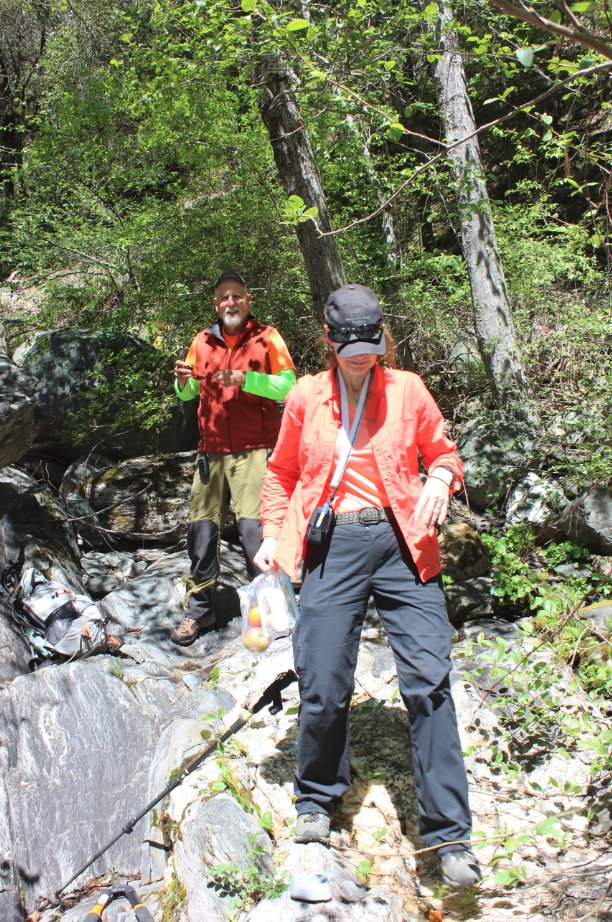
After
a nice break and a chance to douse our feet in the cold water, everyone
was thrilled at the challenge ahead of climbing back up and out of the
ravine.
|
 |
|
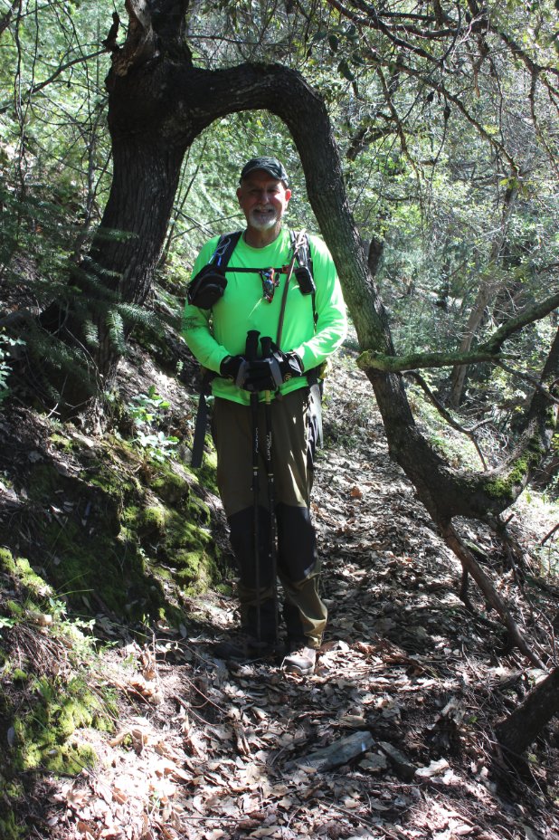
Following
the steady, steep climb up out of the canyon, flat trail was a welcome
sight as we headed back out to the WS100 and the last mile of gentle
uphill to the finish.
|
 |
|
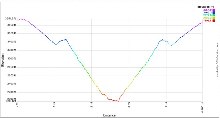
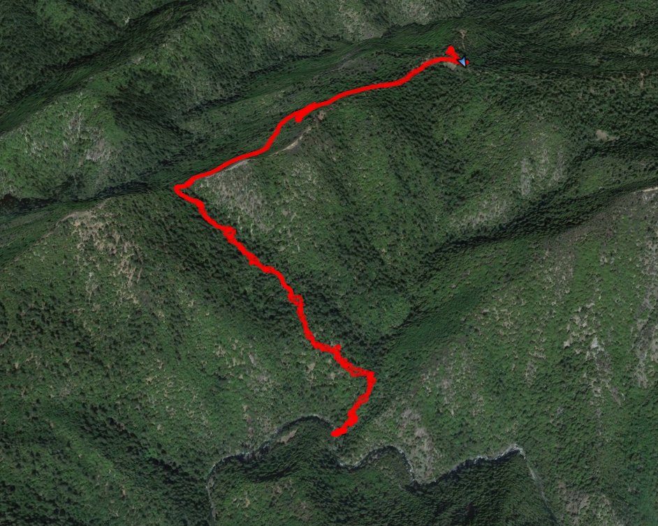
GPS Track of the full hike. |
 |