Distance: 6 Miles
Vertical Gain: 700'
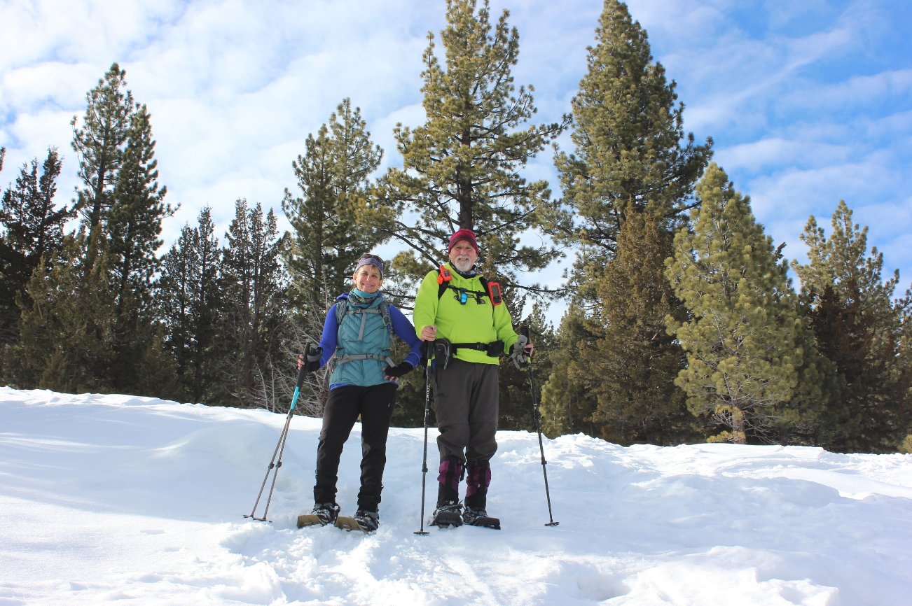
Group Size: 4
Hike Rating: Easy Moderate Hard Strenuous
 GPX
for
this trip
GPX
for
this trip 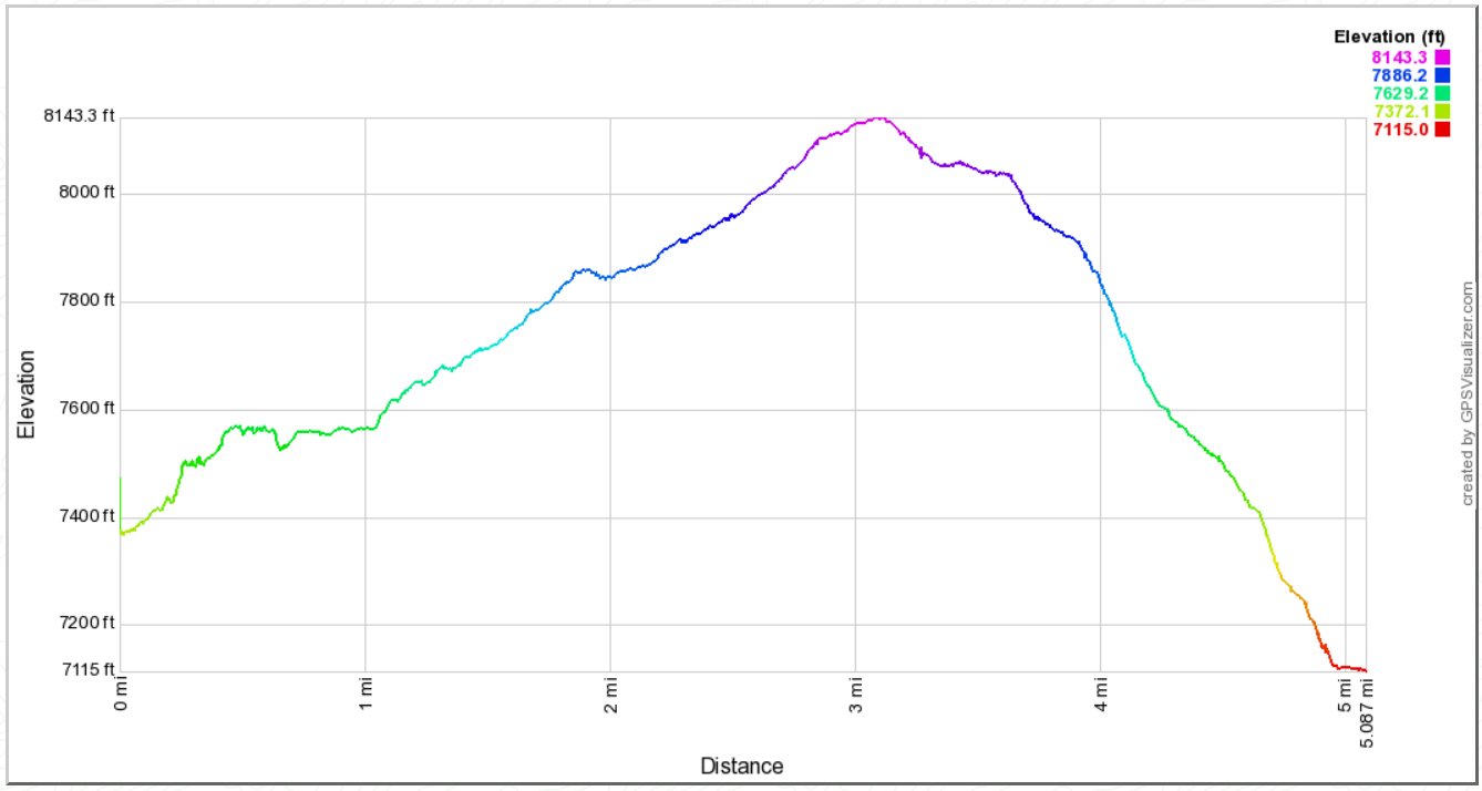
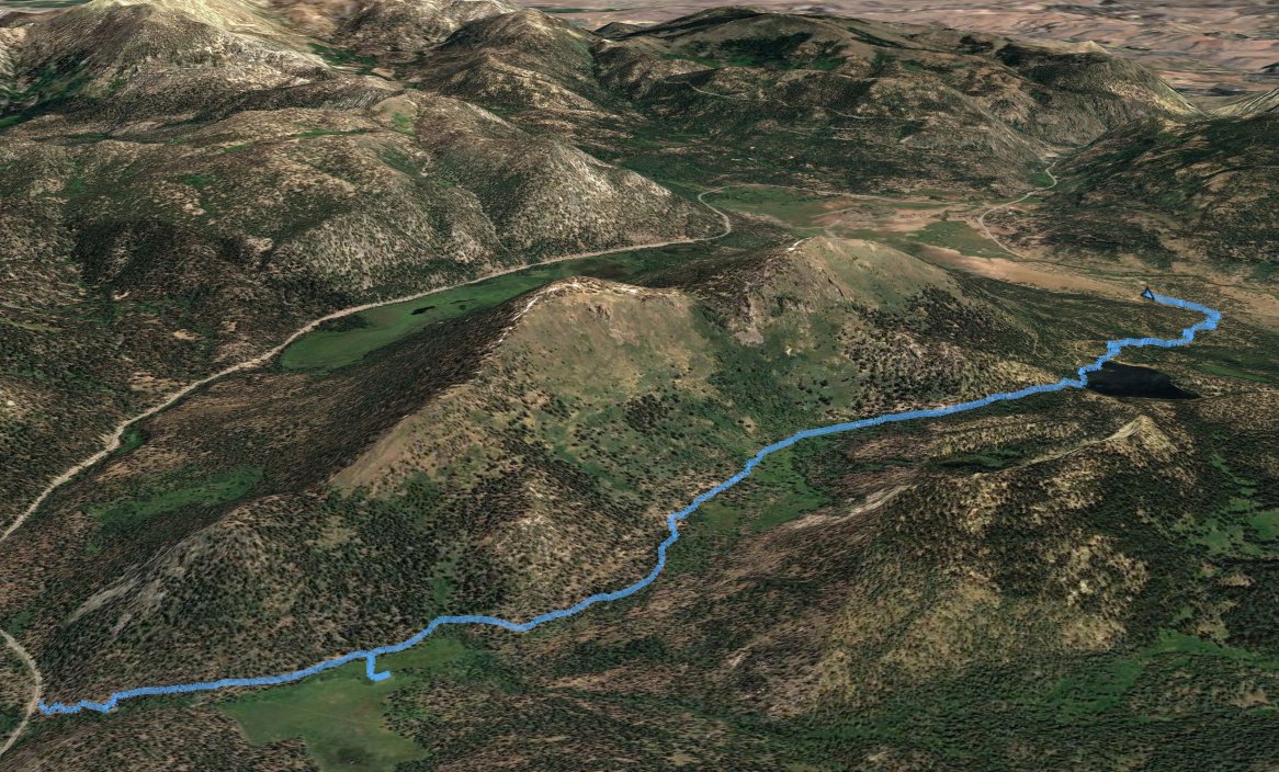
| Start Coordinates: | N 38 47.362 W 120 00.011 | End Coordinates: | N 38 45.945 W 119 56.411 | ||
| Car Shuttle Req'd: | Yes | Parking Directions: | For
the Highway 89 side (Start coordinates,) take Highway 89 between
Highways 50 and 88, and park at the Big Meadow trailhead parking area
at the coordinates provided on the north side of the road.
In the winter this parking area is closed so you will have to find a
safe spot along the highway. For the Highway 88 side (End coordinates,) find the parking area on the north side of the road exactly 1.5 miles west of Picketts Junction, where Highways 88 and 89 come together. |
||
| Hazards of Note: | Be cautious crossing Highway
89 from the parking area. During winter,
the trail from the Tahoe Rim Trail kiosk is usually pretty well marked
from the highway into Big Meadow a couple of miles along the pathway.
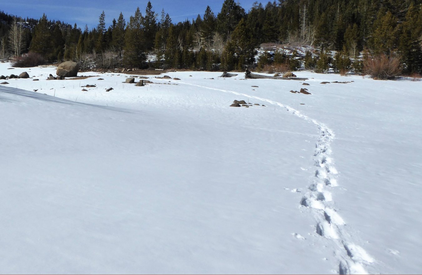
The trail to Scott's Lake from this side is not often
travelled and good GPS or map skills are a must for this snowshoe hike. |
Crowd Factor: | Moderate on trail - Negligible
off-trail |
||
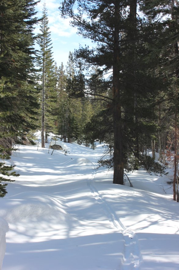
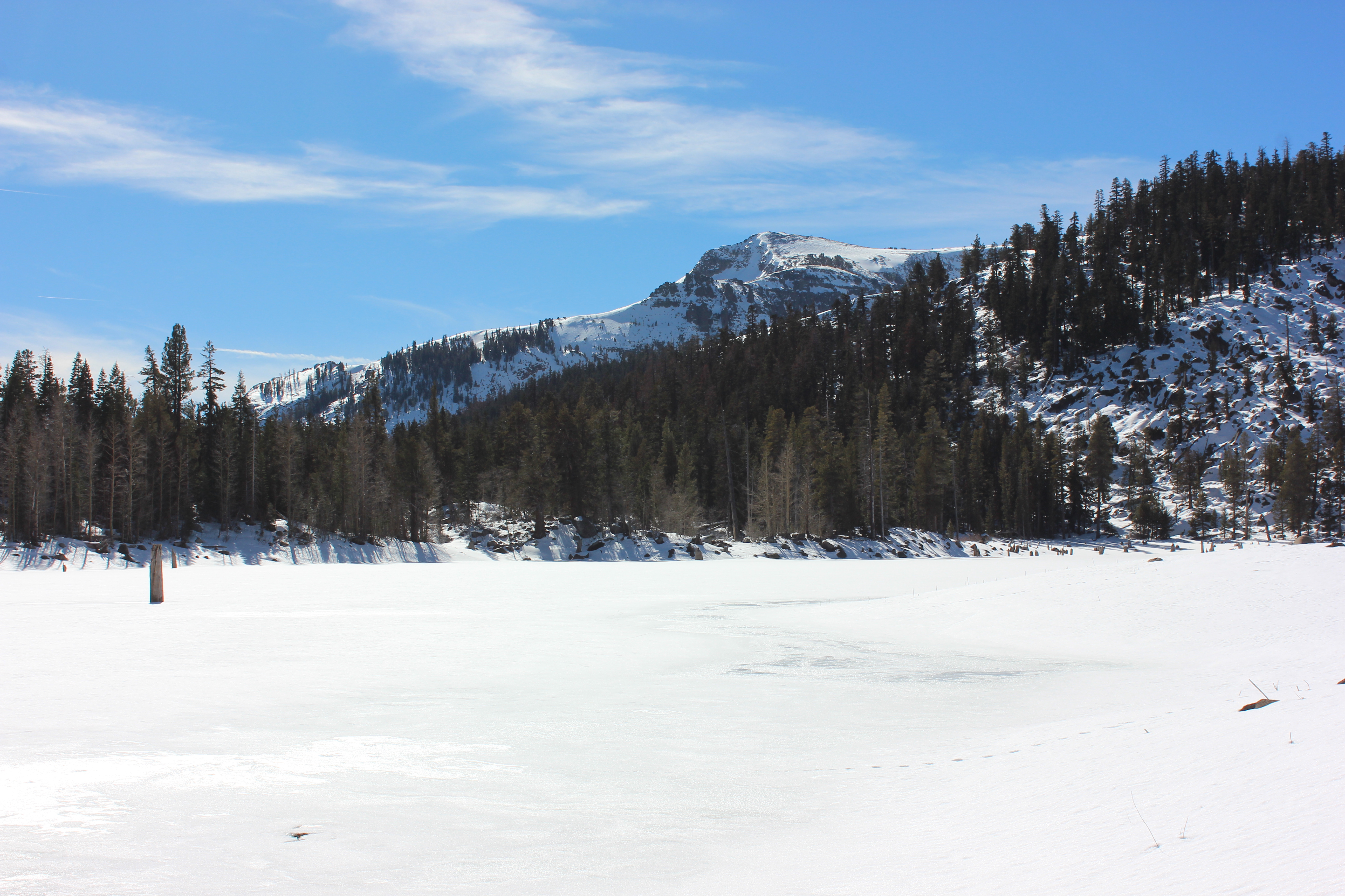
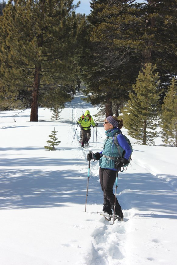
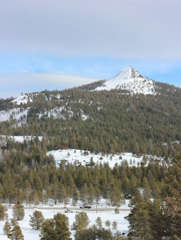
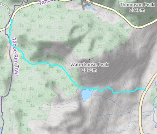
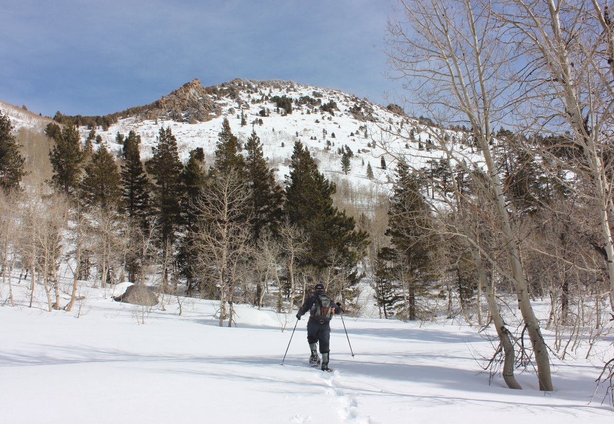
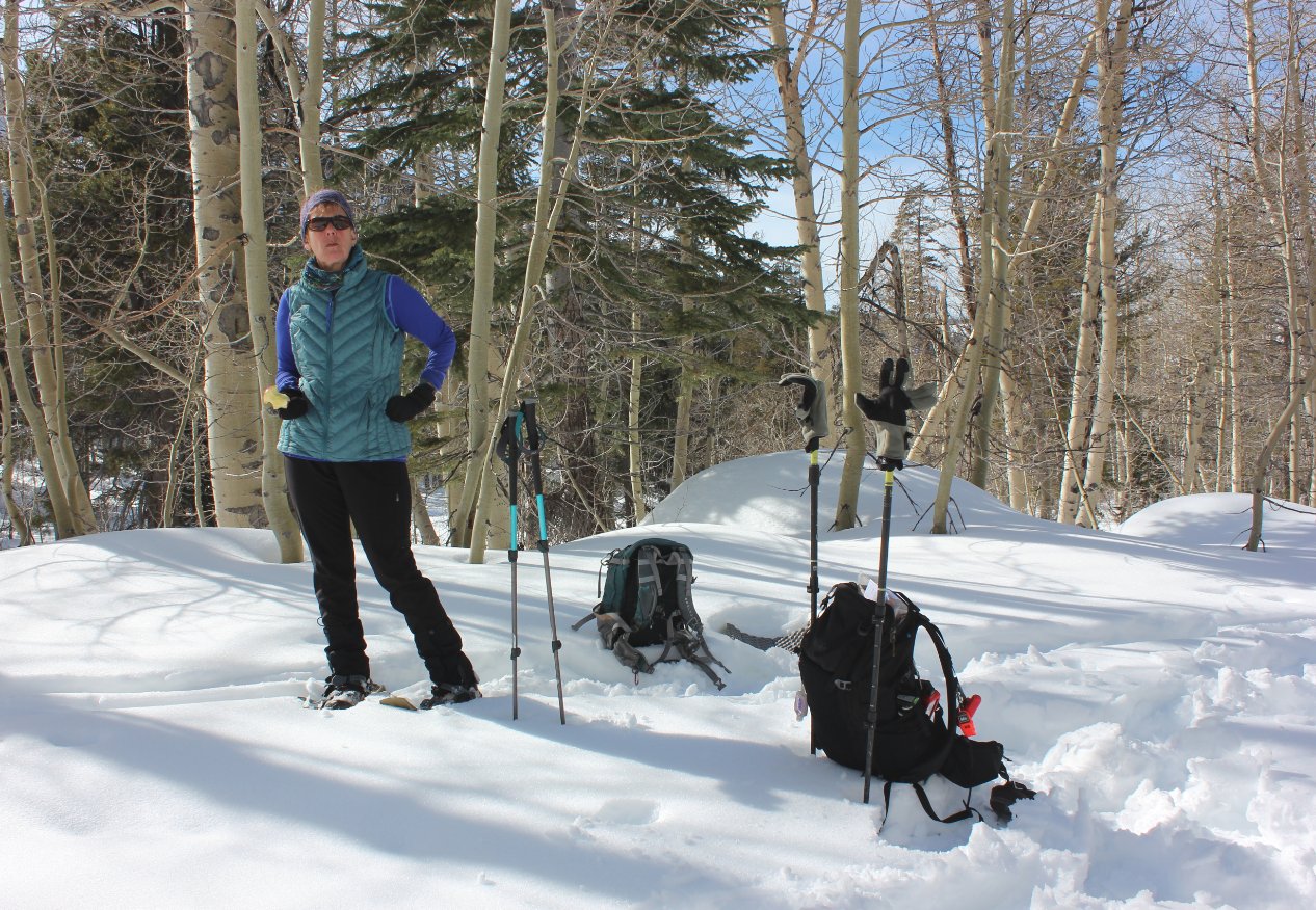
| General
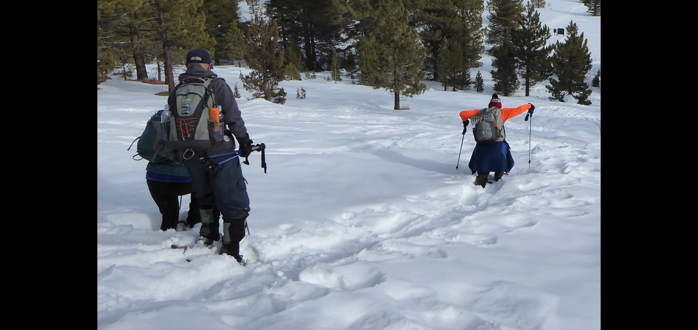
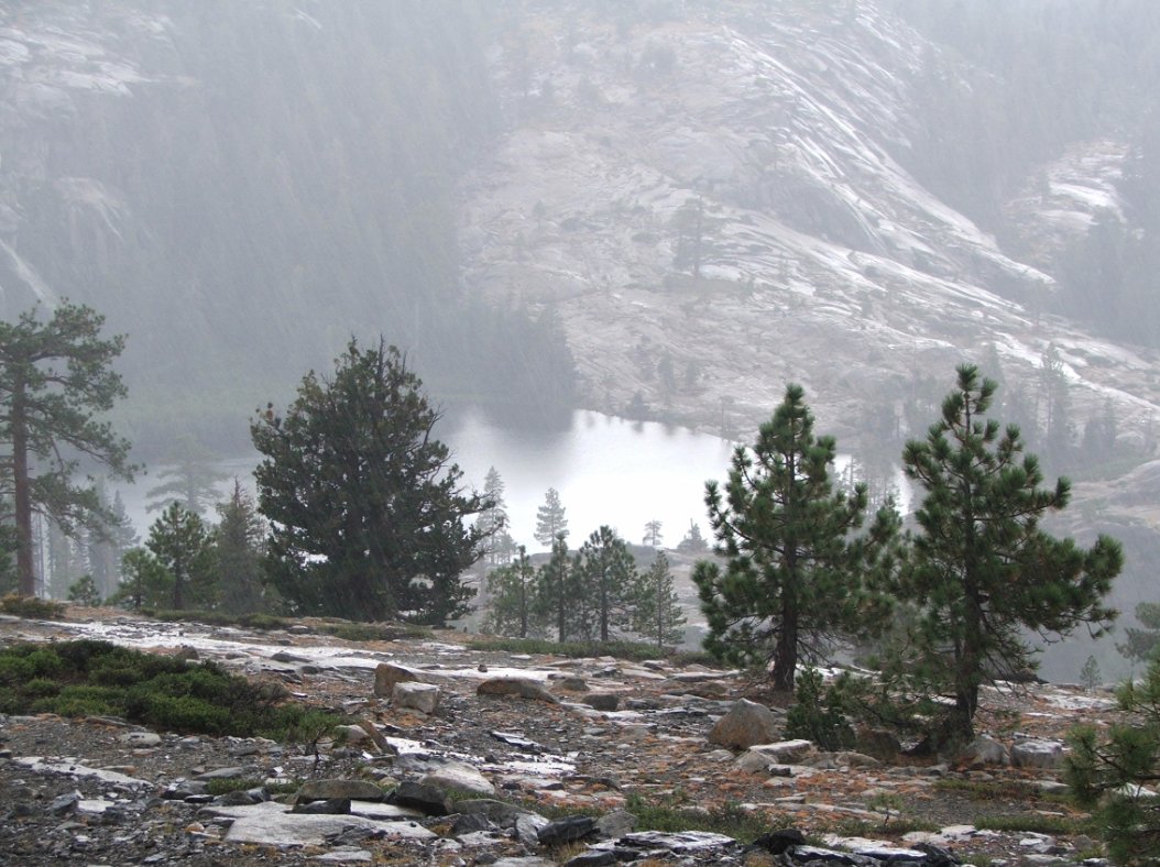
Notes: From the parking area, cross over Highway 89 and start at the Tahoe Rim Trail kiosk. Head up the steep first section of trail, and in less than a mile you will come to a trail junction, with the way to Scotts Lake to the left. The trail to the right will follow the Tahoe Rim Trail and head on to Round Lake and Carson Pass in the distance. Follow the Scotts Lake trail as it climbs up through the forest along the base of the ridge to your left. Initially this trail will bypass Big Meadow to the west, and then meander up the valley with the Waterhouse Peak range soon coming into view on your left. About 4 1/2 miles from the Big Meadow trailhead you will reach Scott's Lake, and it is easiest to follow the road that meanders about a mile and a half until it reaches the parking area along Highway 88 at the parking coordinates. This can be turned into a much shorter snowshoe outing heading up the Scott's Lake from the Highway 88 parking area. This would be about a 3 mile round trip to the lake and back. |
|||||


