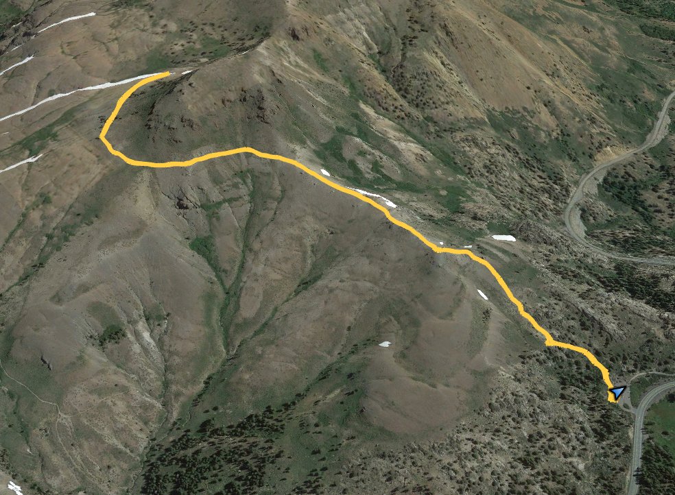
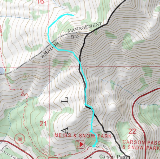
Distance: 6 Miles
Vertical Gain: 1000'
Group Size: 5
Hike Rating: Easy Moderate Hard Strenuous
 GPX
for
this trip
GPX
for
this trip 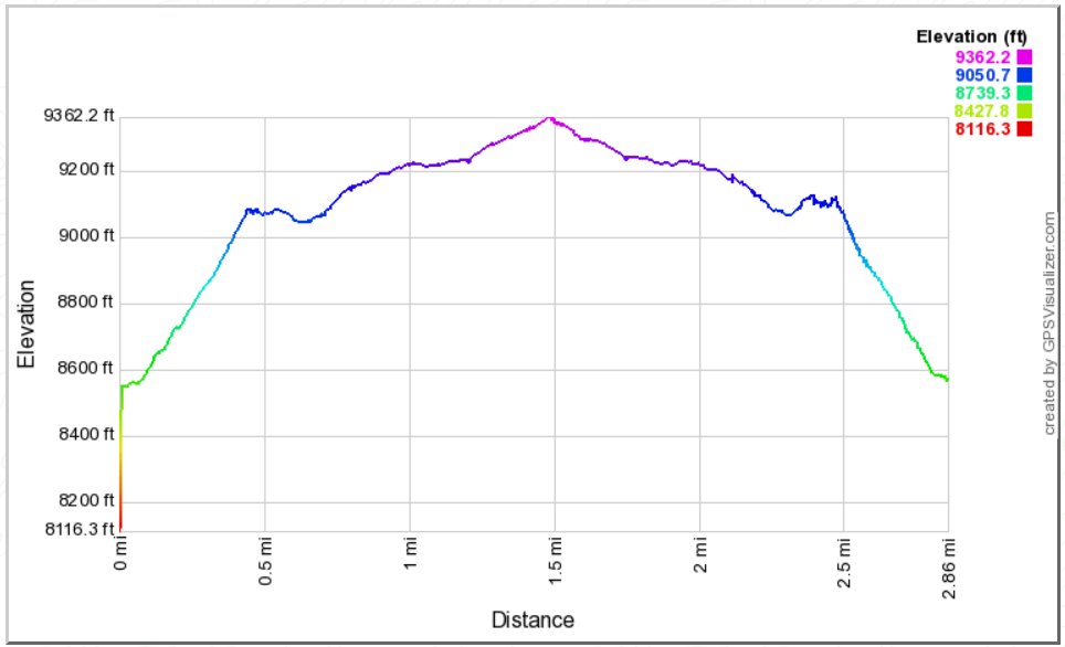
| Start Coordinates: | N 38 41.803 W 119 59.492 | End Coordinates: | Same as Starting Coordinates | ||
| Car Shuttle Req'd: | No | Parking Directions: | Take Highway 88 to the parking on the north side of the highway, about a quarter mile from the ranger station parking area across the highway and to the south. Pay the day use fee (summer only) and find the trailhead just at the west end of the parking lot for the Meiss Meadow trail. | ||
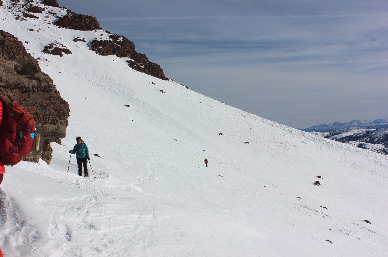
| Hazards of Note: | Route finding, avalanche
danger in the area when snow is heavy. |
Crowd Factor: | Few changes of running into
anyone on this trail other than any cross-country skiiers in the area. |
||
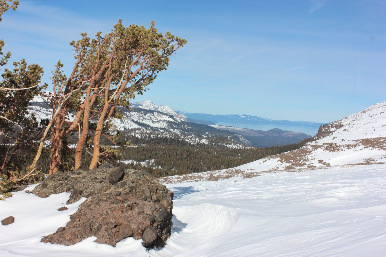
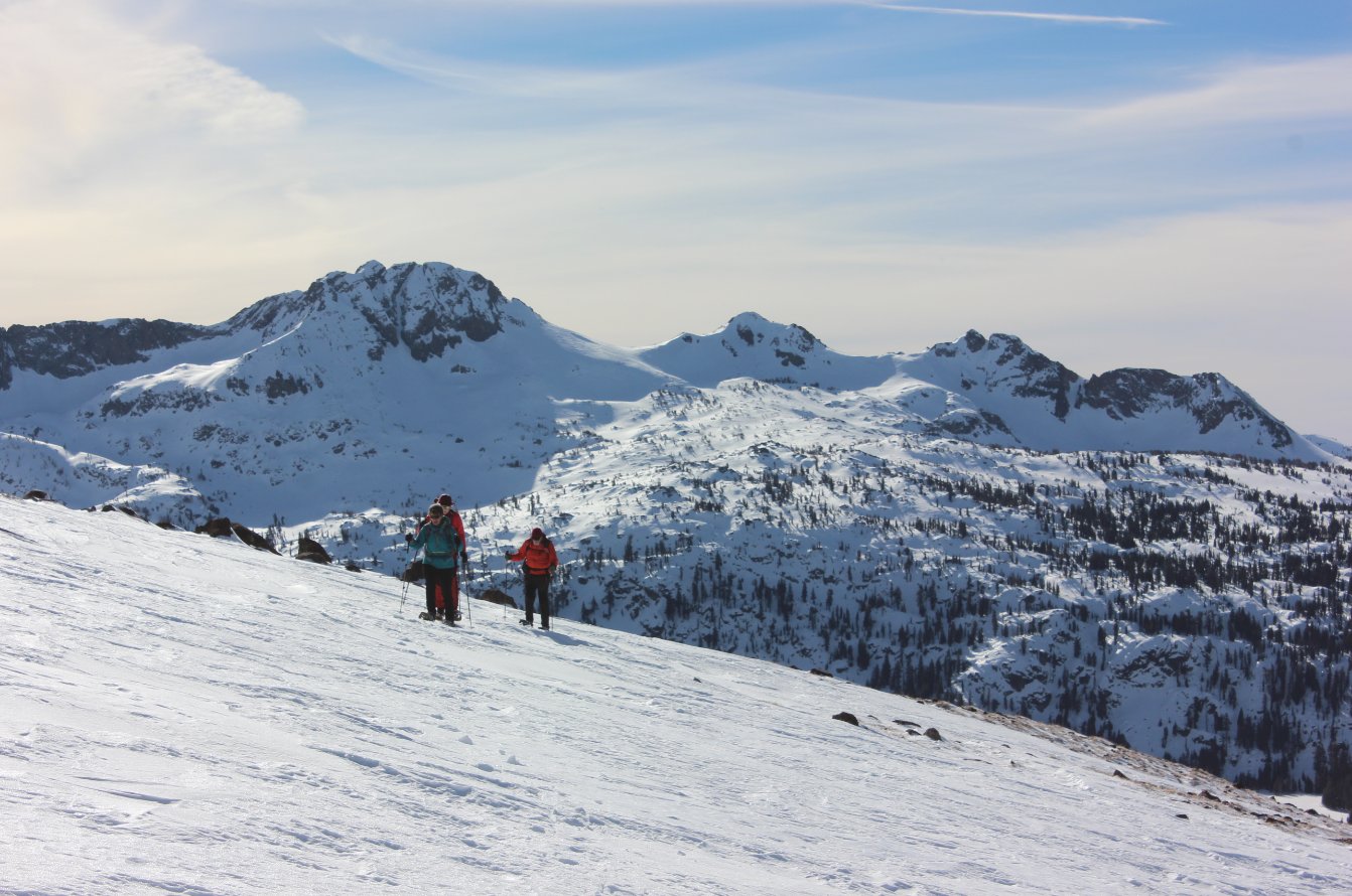
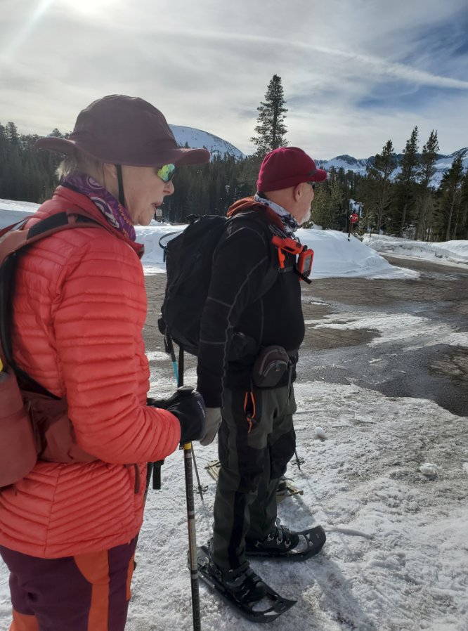
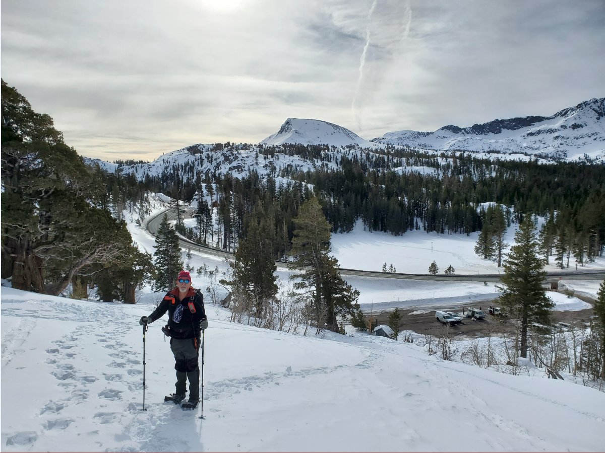
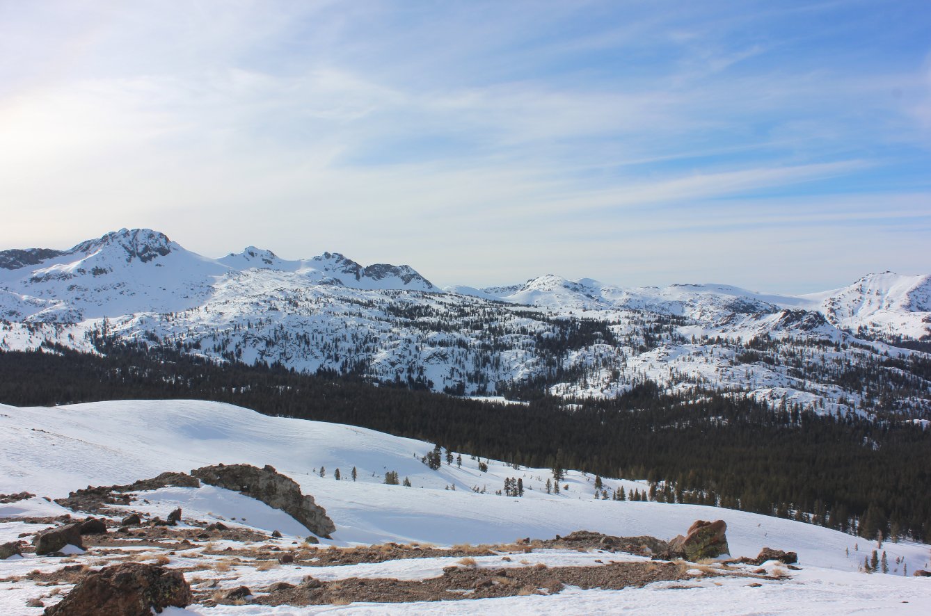
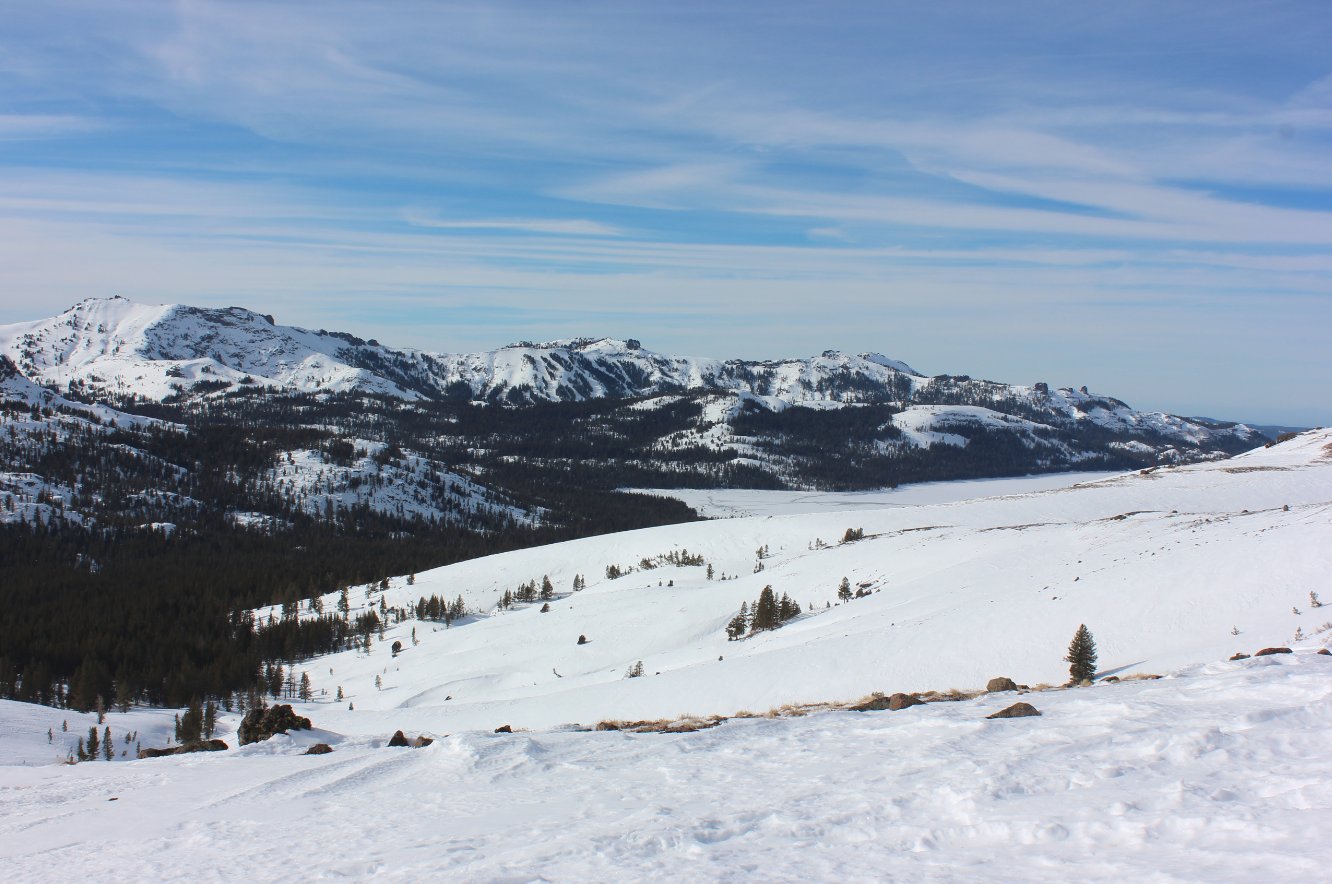
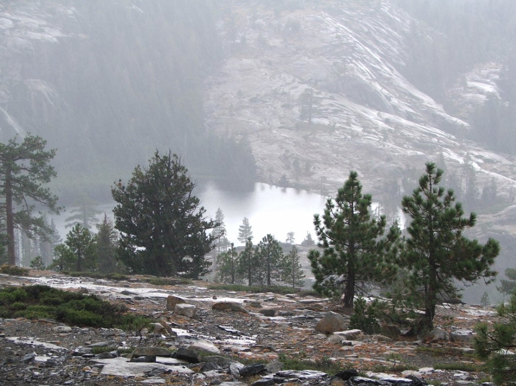
| General
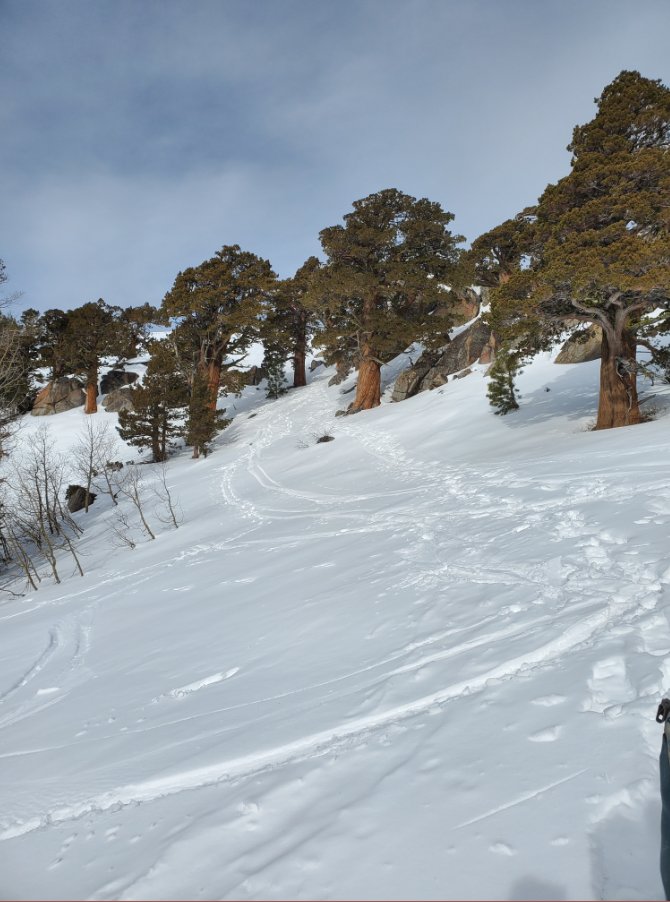
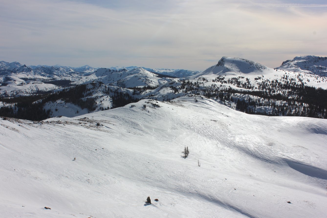
Notes: From the parking area on the road, find the Meiss Meadow trail head and start a climb up to a saddle overlooking the Lake Valley to your north. Doing this as a snowshoe, you will be able to just pick a good route up the mountain and not have to stay on the Pacific Crest Trail (PCT) which will save you a couple of miles of hiking along the highway. Aim to stay to the west side of the Red Lake Peak, waiting until you have a straight shot due east if choosing to ascend to the top of the 10K' peak. |
|||||
