|
|
Yosemite
High Sierra Camp Loop Hike - Day 4
An
edited version of my
adventure on the High Sierra Camps Loop appeared in the second issue
of Sidewalk
- A hiking and
backpacking
magazine
|
 Day 3
Day 3

Day 5 |
|
Trip Date: 08/24/2014
Distance: 10.2 Miles
Vertical Gain:
424'
Group Size:
6
Hike Rating:
Easy
Moderate
Hard
Strenuous |
 GPX for
this trip
GPX for
this trip
|
|
|
Start Coordinates: |
N 37 52.699, W 119 20.315
(parking for first day's hike) |
|
End Coordinates: |
Same as Start Coordinates
|
| Car Shuttle
Req'd: |
No |
|
Parking
Directions: |
Take
Highway 395 south from Monitor Pass toward Mono Lake. At Lee
Vining, turn on Highway 120 (Tioga Pass) and enter Yosemite Park on the
east side. About 10 miles into the park turn at the
Wilderness Permit area (Tuolumne Meadows Lodge Road) and continue to
the parking coordinates for backpacker vehicles. |
| Hazards of
Note: |
Wildlife, especially bears.
Some of the trails are difficult and footing can be tenuous
at times. Much of the uphill and downhill sections are made
up of granite steps which are rough on the feet after time. |
|
Crowd Factor: |
Mixed. Yosemite is a
very popular destination during the summer months, and this hike and
option to stay in the HSC locations with served meals is available only
by lottery system. The further into the park the trails will
be less crowded, but there are many places for day hikers to pick up
the trail system. |
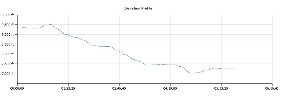
General Notes:
Day four is the longest single segment on the High Sierra Camp loop, at
just over 10 miles from Sunrise HSC to Merced Lake HSC.
Fortunately, most of the trip is downhill and through a wide
array of scenery, making the trip a pleasant one. This is
good as it is sandwiched between two of the toughest days on the entire
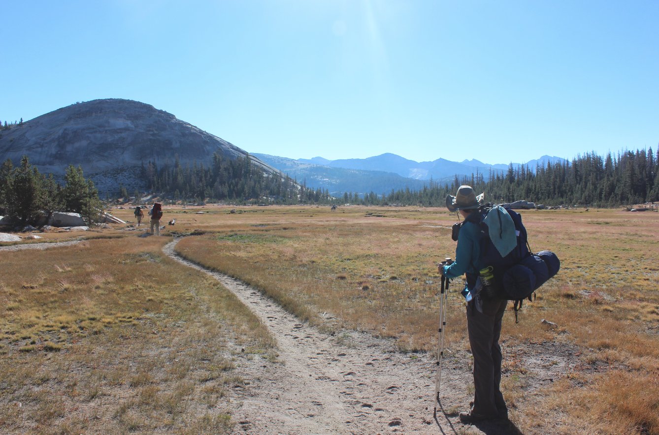
loop. Dropping down from the Sunrise HSC, you pick up the
John Muir trail for about 9/10 of a mile, going the opposite direction
you might think. As you head up this trail, you get a great
view of Tenaya Peak, very interesting with its rocky spire pointing
toward the heavens.
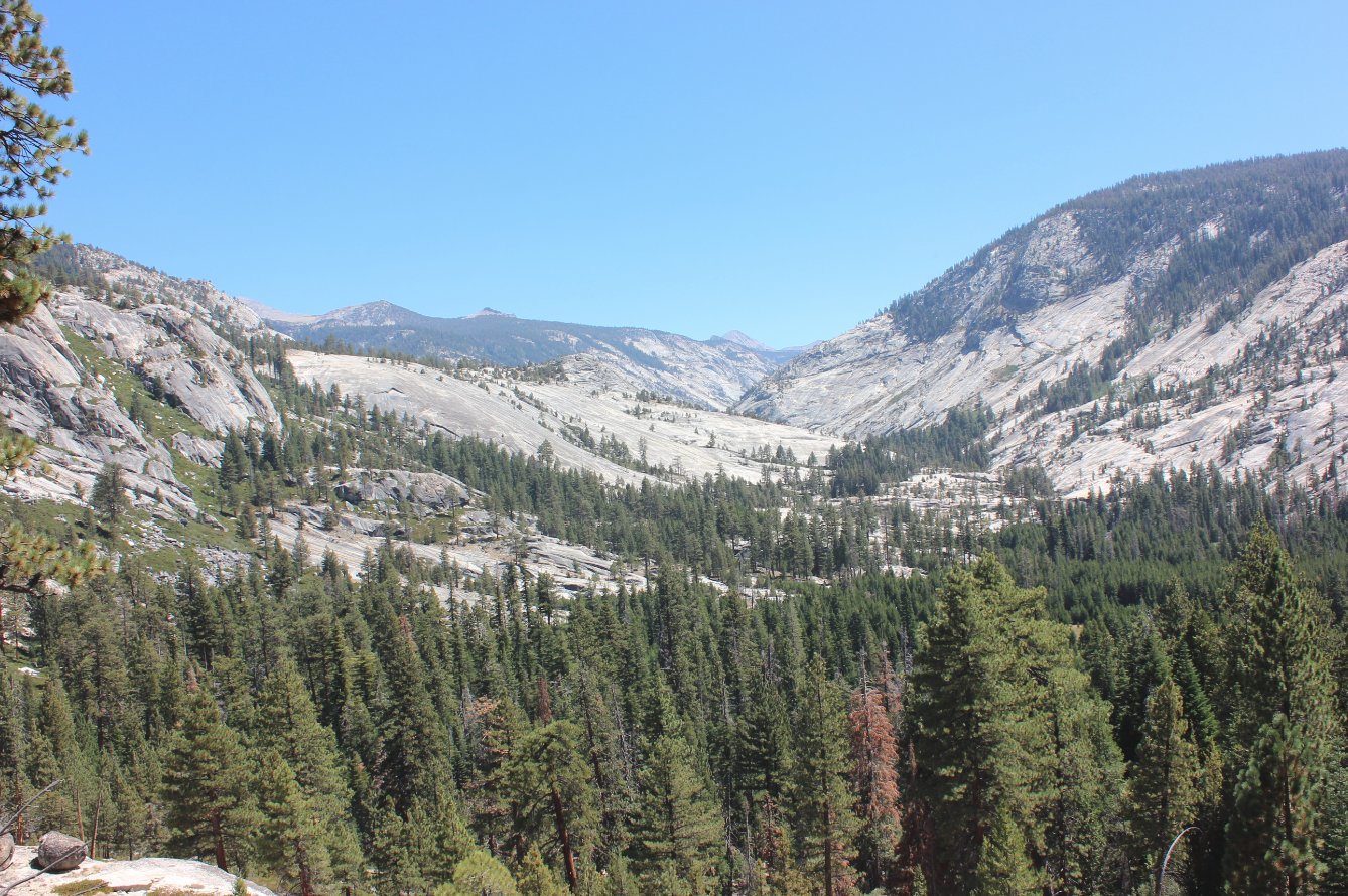
Soon you take a junction to the right, and start the long descent that
will dominate most of the trail for the day. Although you are
mostly in canyons hiking along the path of rivers in the area, the
views routinely open up to amazing vistas of granite domes and mountain
peaks off in the distance at many spots. Just before the
junction to the trail which heads off to the main Yosemite Valley,
there is even a small area of lush trees and ferns, quite unlike any
other area on the entire journey.
Pas this trail junction you actually drop to almost 7000', and then
have a couple hundred feet in elevation to make up gradually over the
last mile and a half to Merced Lake. |
|
|
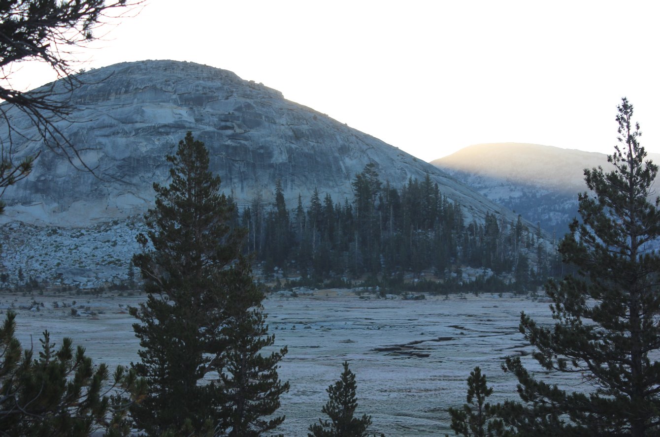
Up early to check out the
looming sunrise about to come up over, well, Sunrise Mountain. |
 |
|
The view we had from our
campsite, looking far off toward Vogelsang mountain, where we would be
camping in two nights from now.
|
 |
|
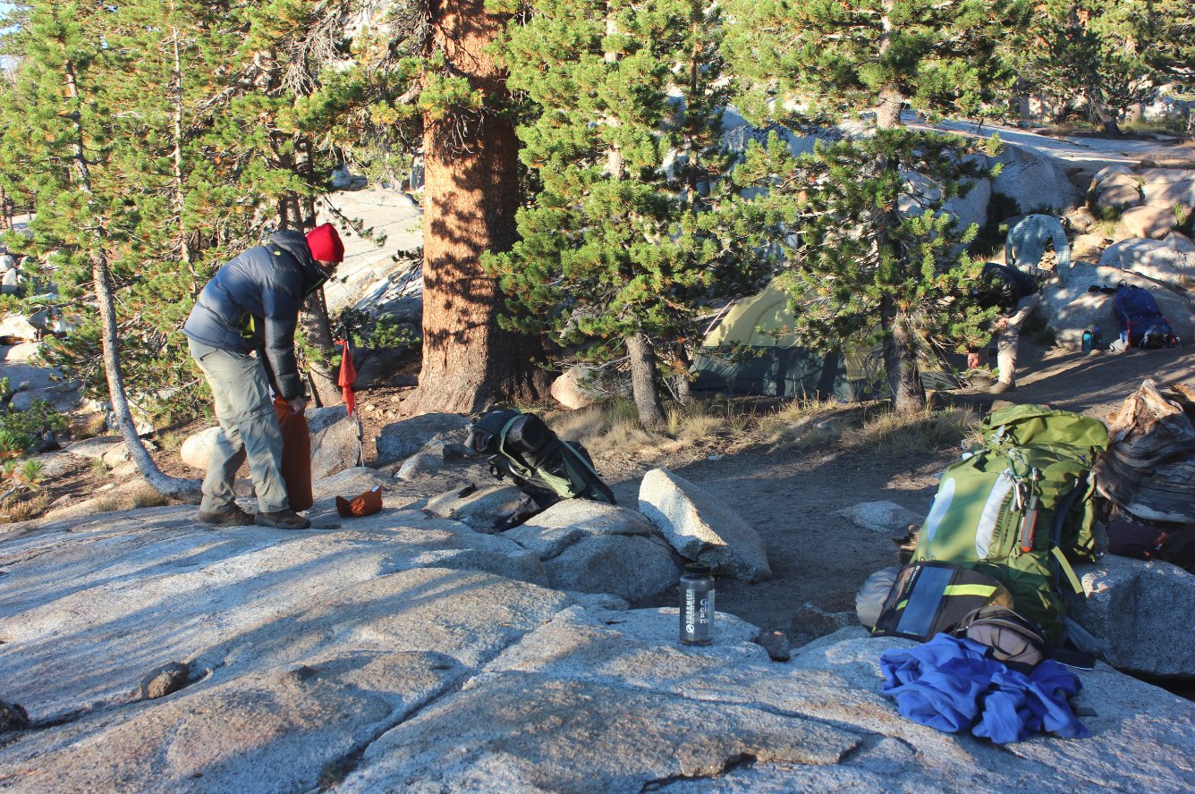
Brent breaking down his
campsite and about ready to hit the trail. |
 |
|
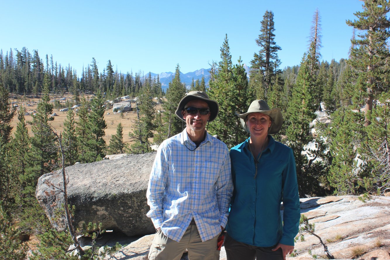
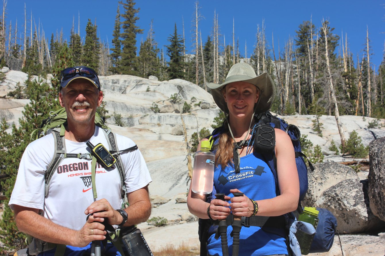
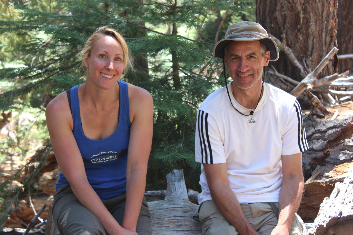
Phil and Diane above Sunrise
meadow before we headed on out. |
 |
|
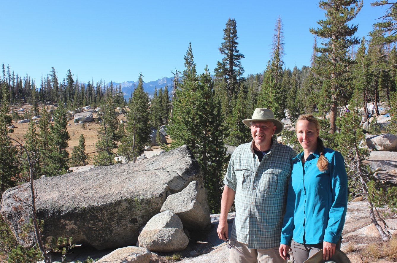
Brent and Diane in the same
place.
|
 |
|
...and one more obligatory
shot before loading up and hitting the John Muir section of today's
trail. |
 |
|
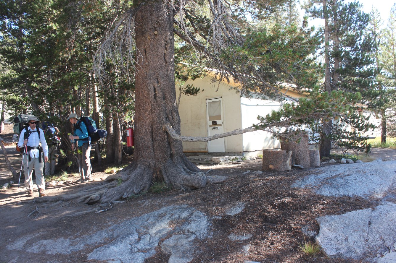
The Sunrise HSC main dining
tent, where we loaded up with a big breakfast and then headed on out. |
 |
|
Diane watching the activity in
Sunrise Meadow when one of the pack mules for the group riding between
camps bucked its rider off and then sprinted off across the way.
Ouch.
|
 |
|
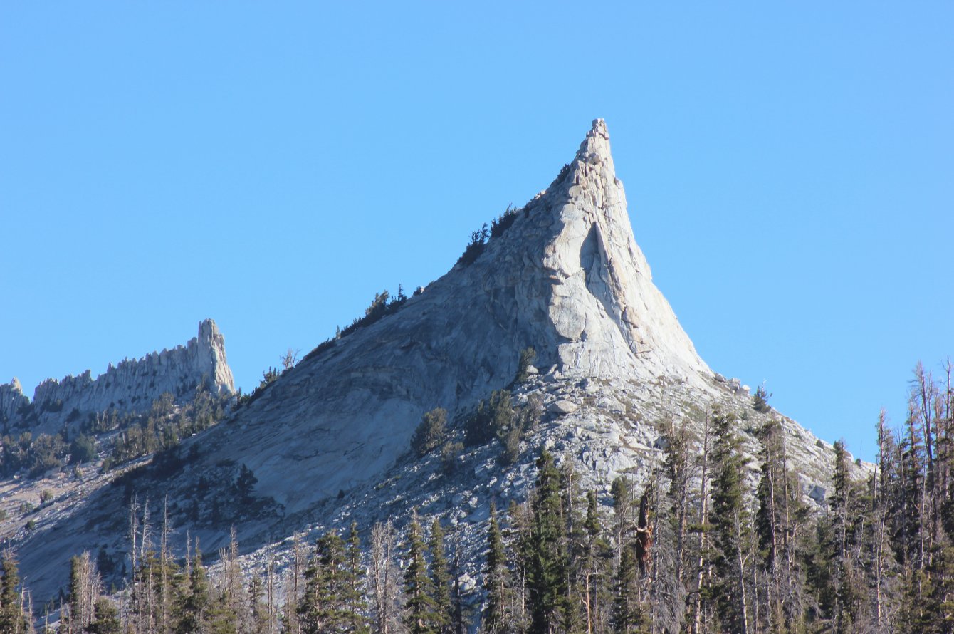
The profile of the very
distinctive Tenaya Peak. Not sure if that's climbable or not
but it looks like it might be. |
 |
|
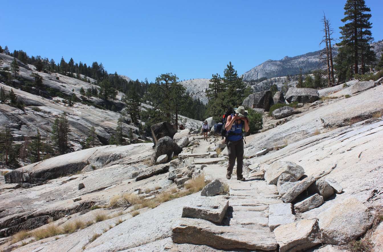
The first drop down from the
John Muir trail had us among a lot of granite for a couple of miles, as
well as the remnants of a forest fire from many years ago. |
 |
|
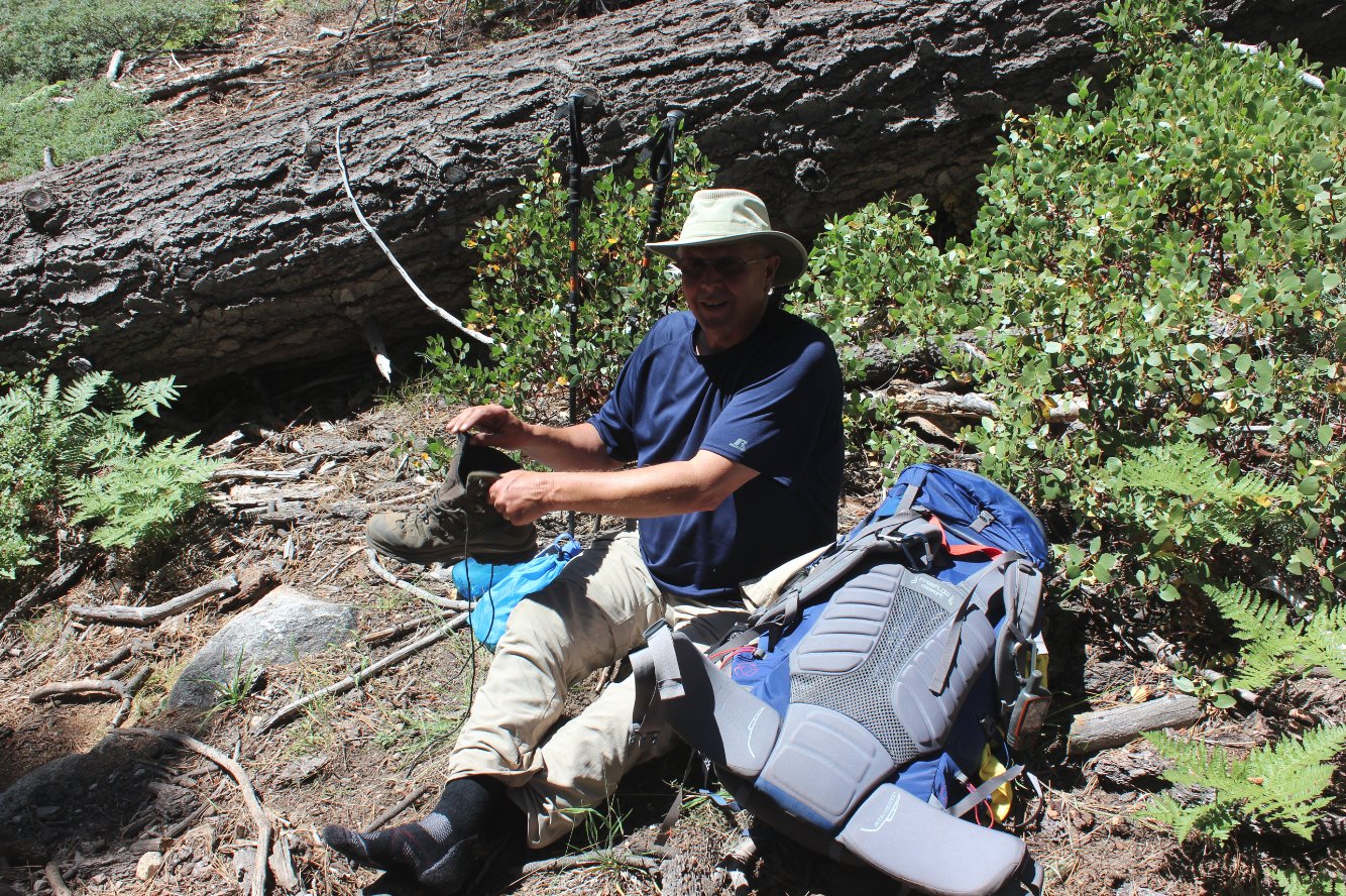
Brent took care of the sweeper
job for us today! |
 |
|
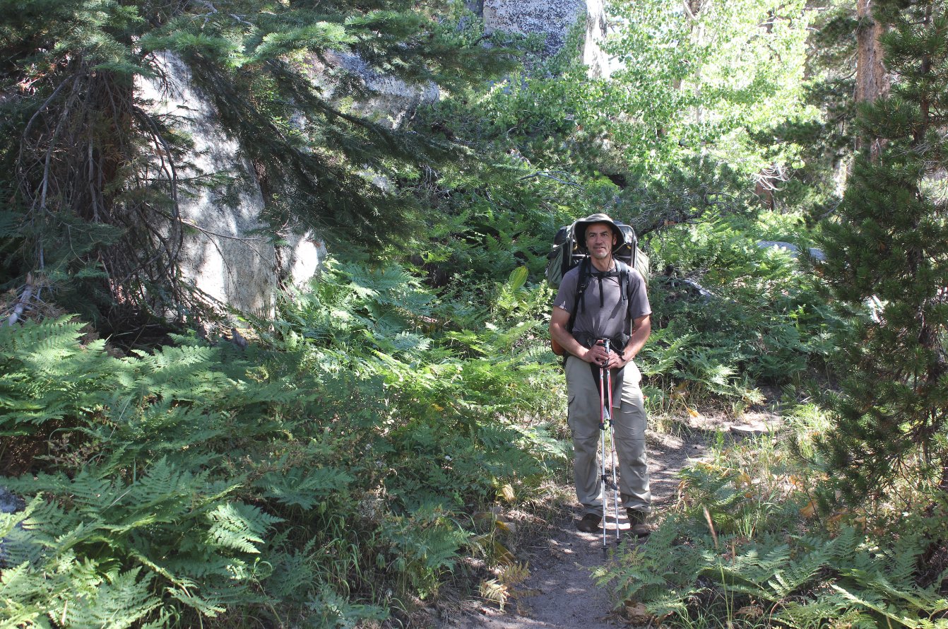
This area of lush greenery,
filled with ferns was an unexpected surprise along the way. |
 |
|
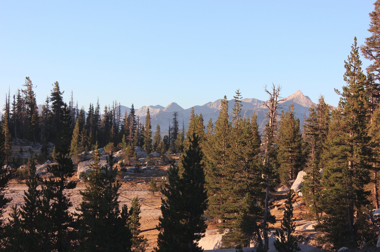
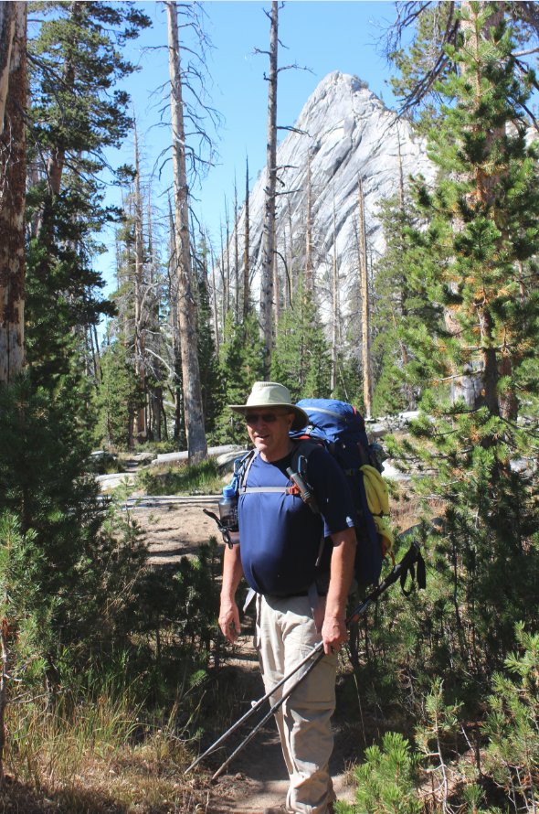
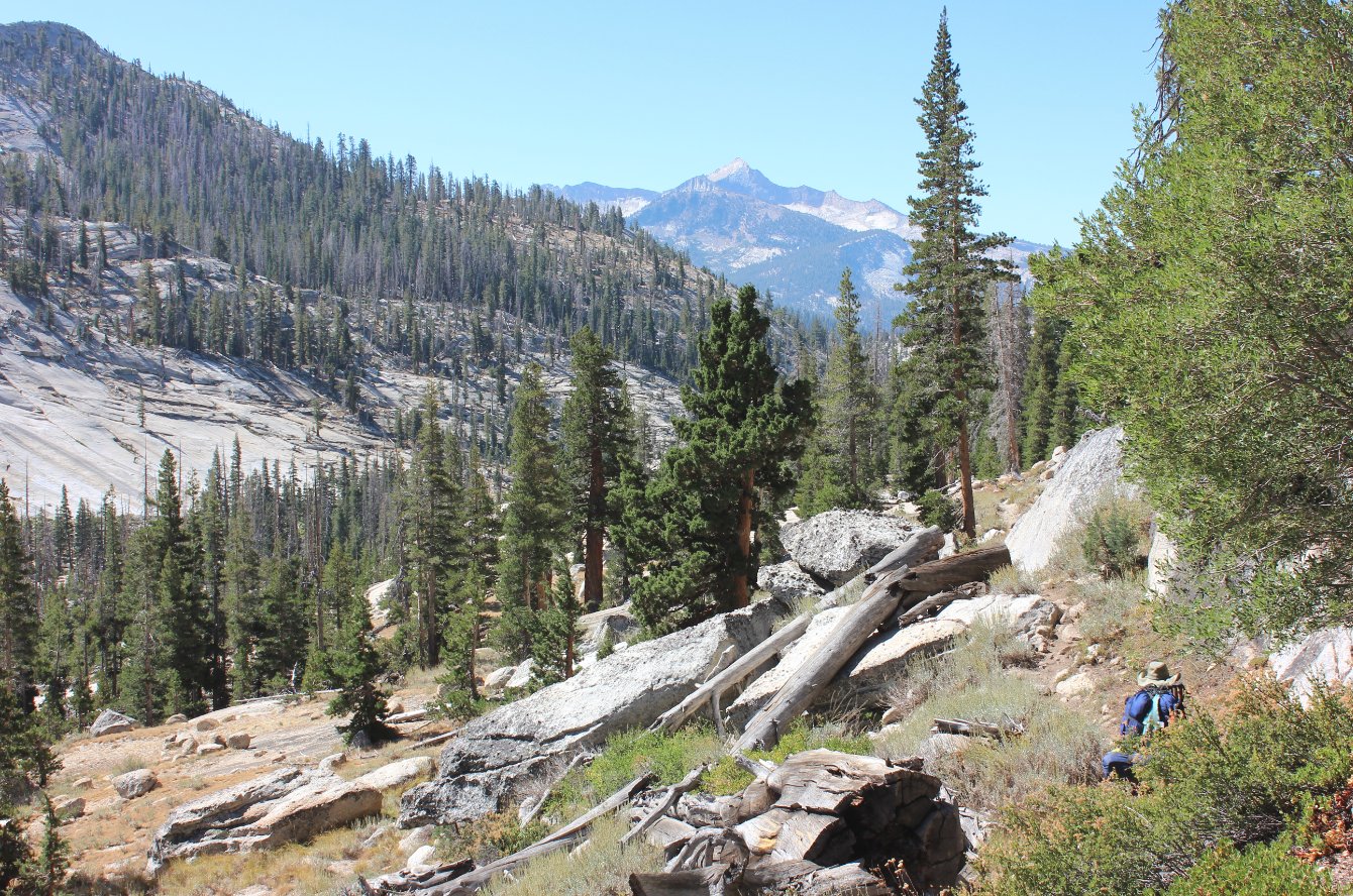
Even though today's route was
relatively tame, Vogelsang Mountain kept rearing its head in front of
us, reminding everyone of what lay ahead for the next day. |
 |
|
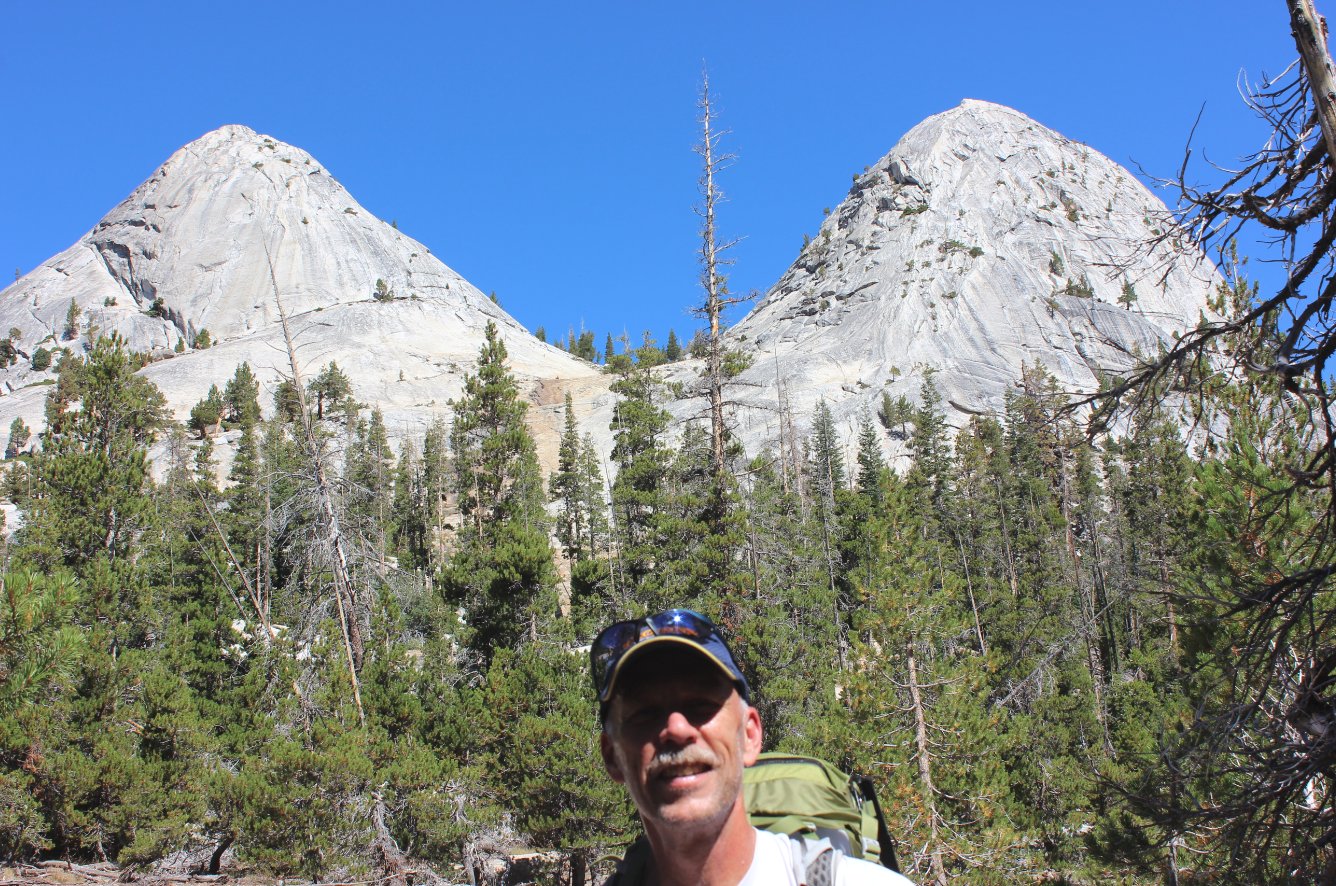
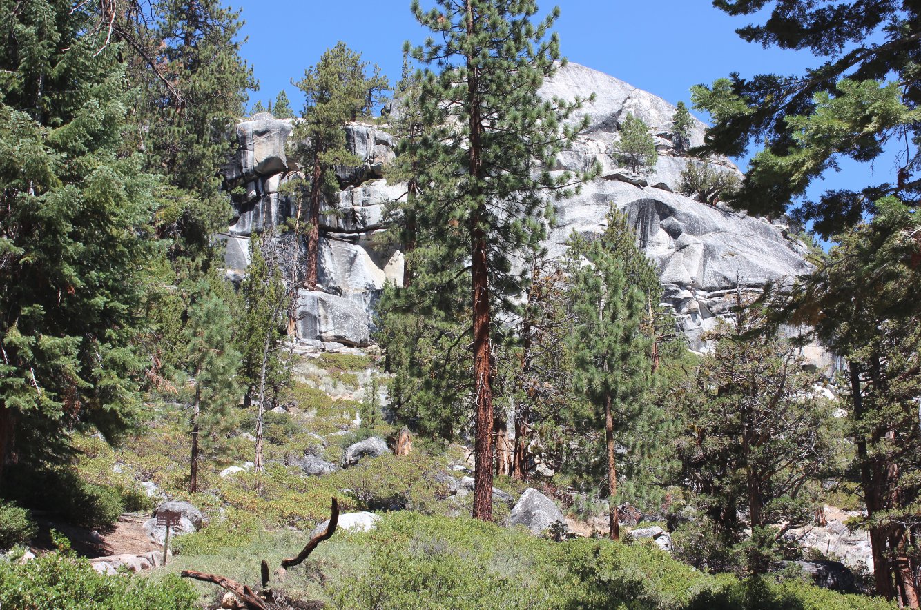
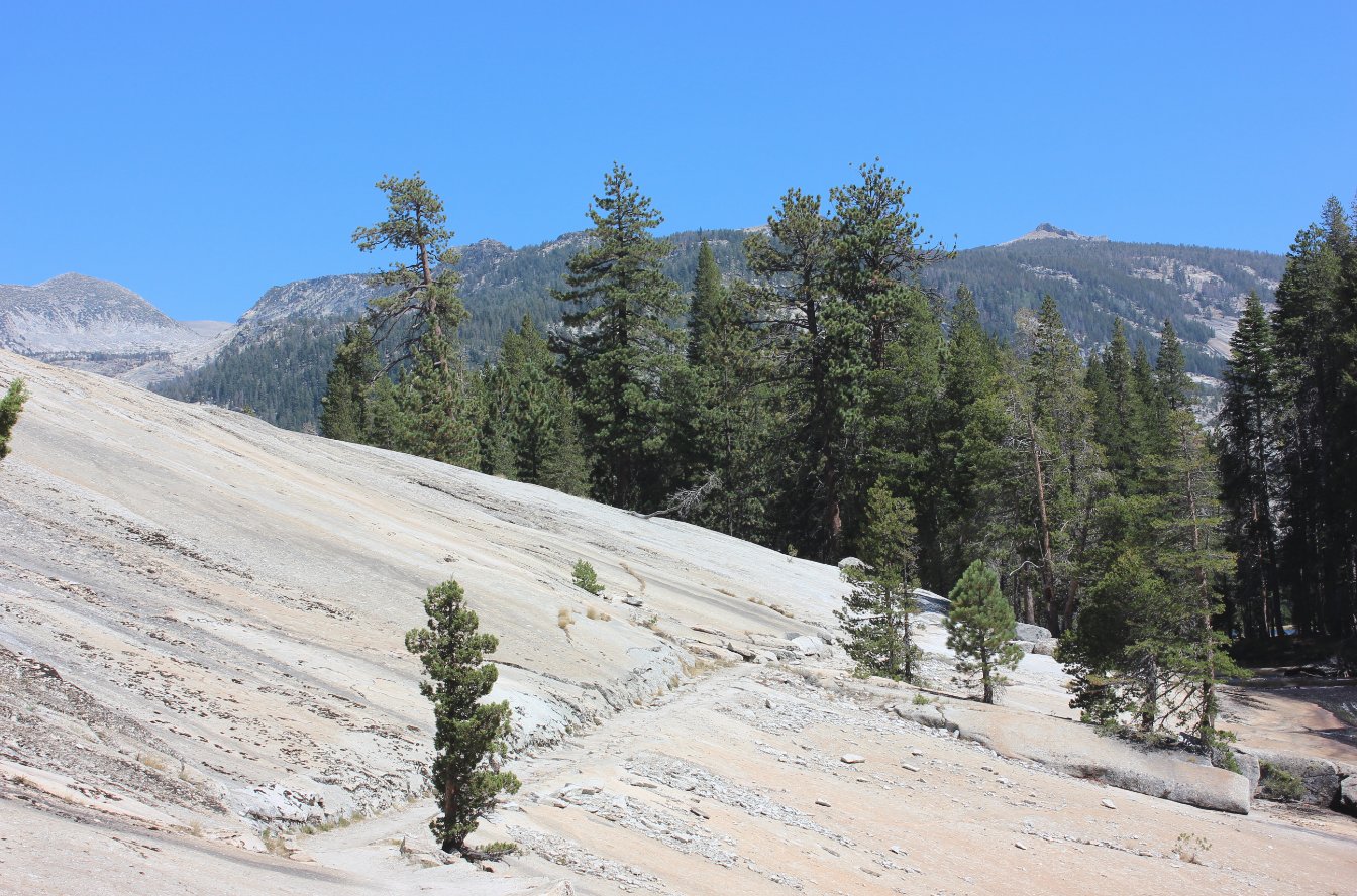
Something about this
particular granite feature kept me smiling for much of the day. |
 |
|
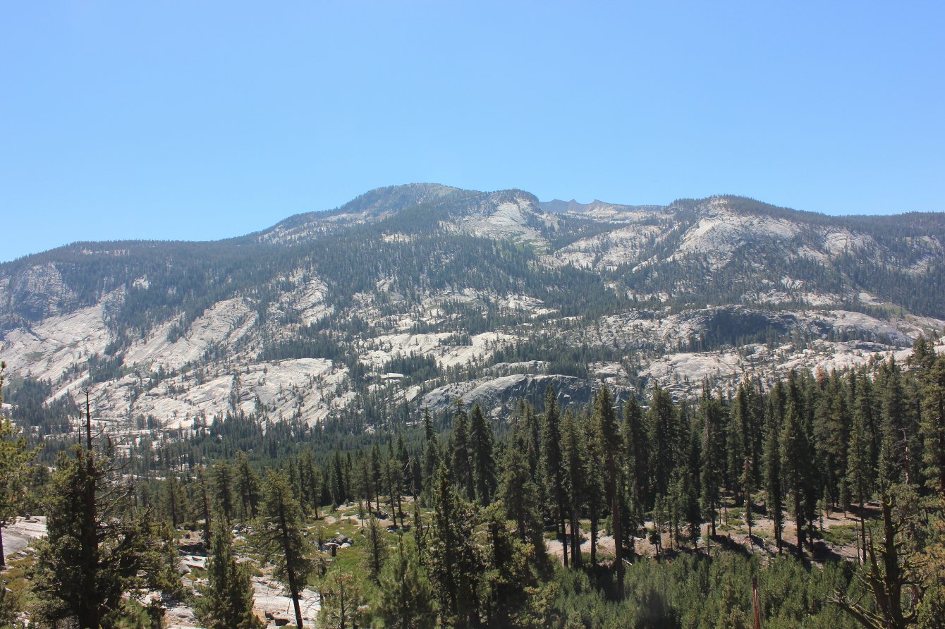
Interestingly enough,
tomorrow's hike would have us climbing up on the other side of the
ridge across the way. |
 |
|
About 2/3 of the way to Merced
Lake was a junction (you can see the sign near the lower left) with our
trail and the one to Yosemite Valley, and we found a nice spot in the
shade to stop and enjoy our lunch. |
 |
|
This junction was a nice place
for lunch, and we enjoyed a long break from pounding on the trail. |
 |
|
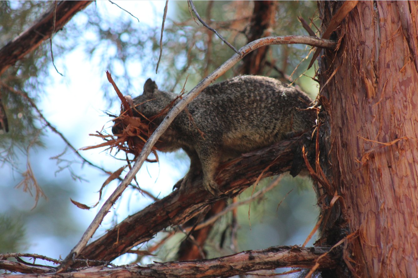
Not far past our rest stop we
saw this little guy stripping bark off the tree and taking it back for
his nest. He was really fast about it, as well. |
 |
|
Yep, that's where we are
going, with Merced Lake tucked in the valley in the distance. |
 |
|
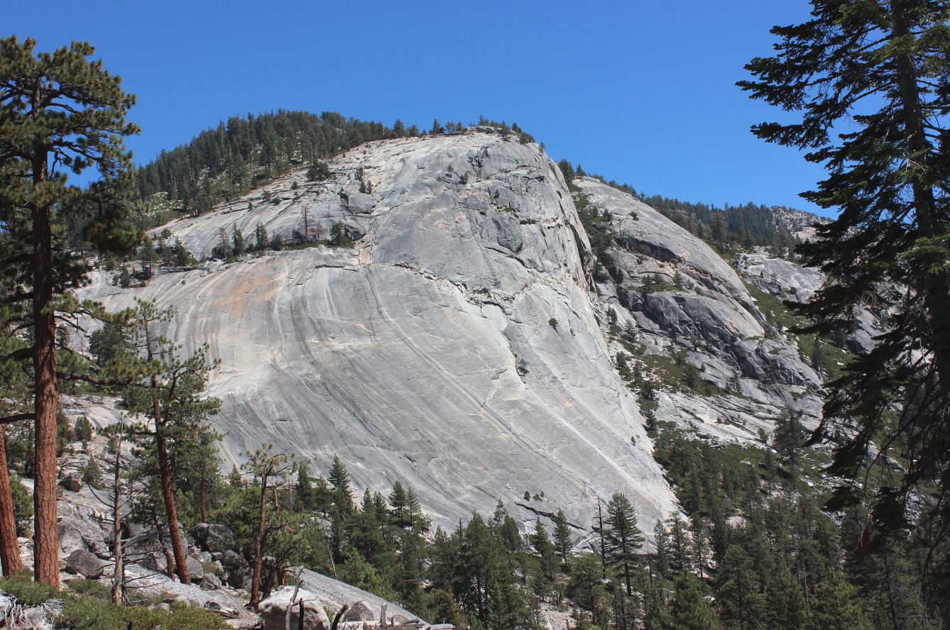
Its impossible to imagine the
forces that carved this scoop right out of the solid granite above us. |
 |
|
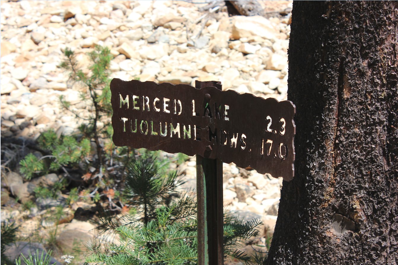
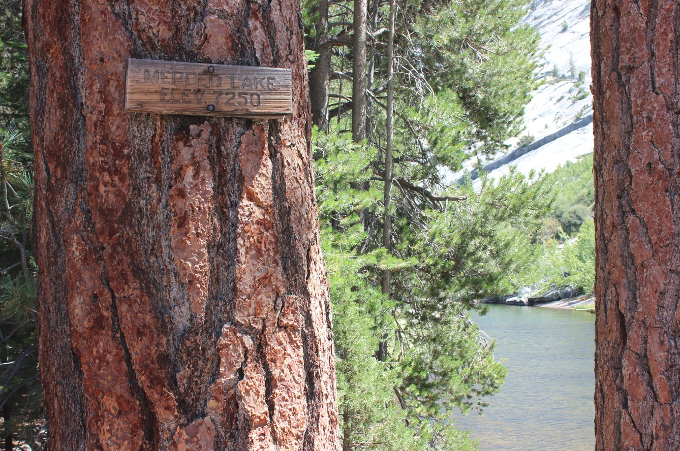
It's always nice to see one of
these signs and realize how close you are to a nice long rest at the
end of the day's hike. |
 |
|
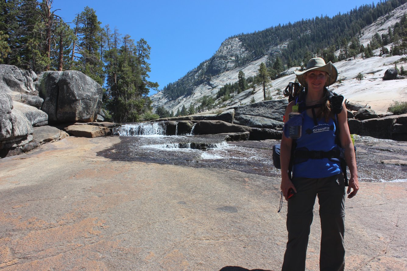
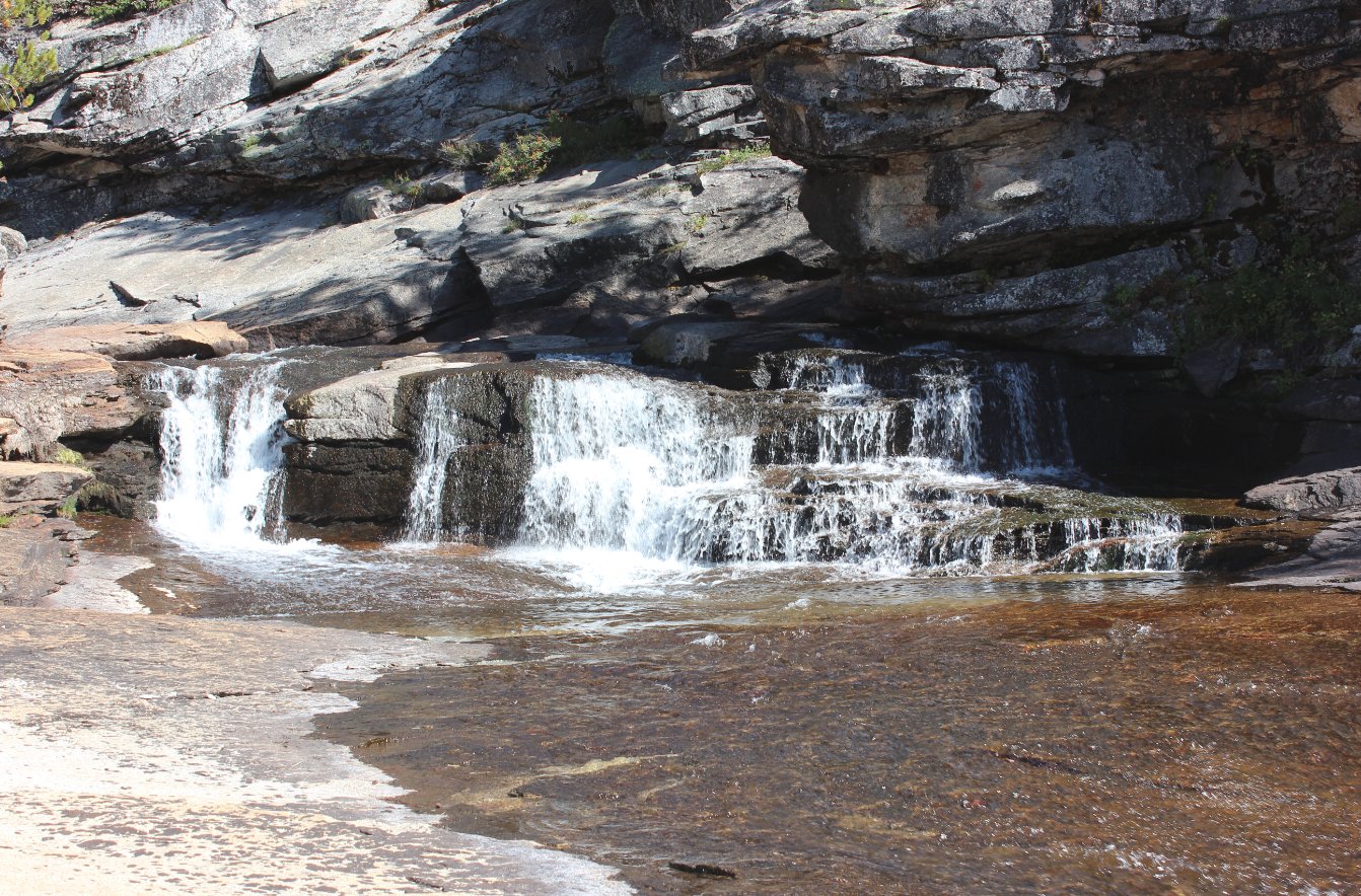
Still a good amount of water
flowing down the Merced River, even at this late point in the summer. |
 |
|
A lot of
work was done by the trail makers on this last stretch to Merced Lake,
as the path was carved right out of the solid granite.
Amazing! |
 |
|
Seeing this sign at Merced
Lake was definitely a sight for sore feet (sic) |
 |
|
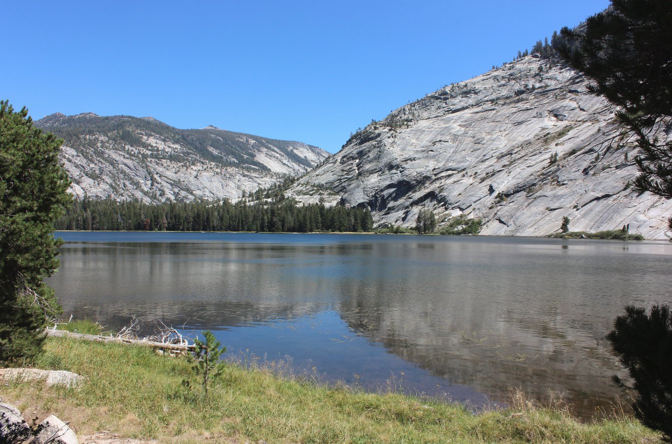
Another
look at Merced Lake. The High Sierra Camp is just on the
other
side of the lake, hidden behind the tree in the foreground. |
 |
|
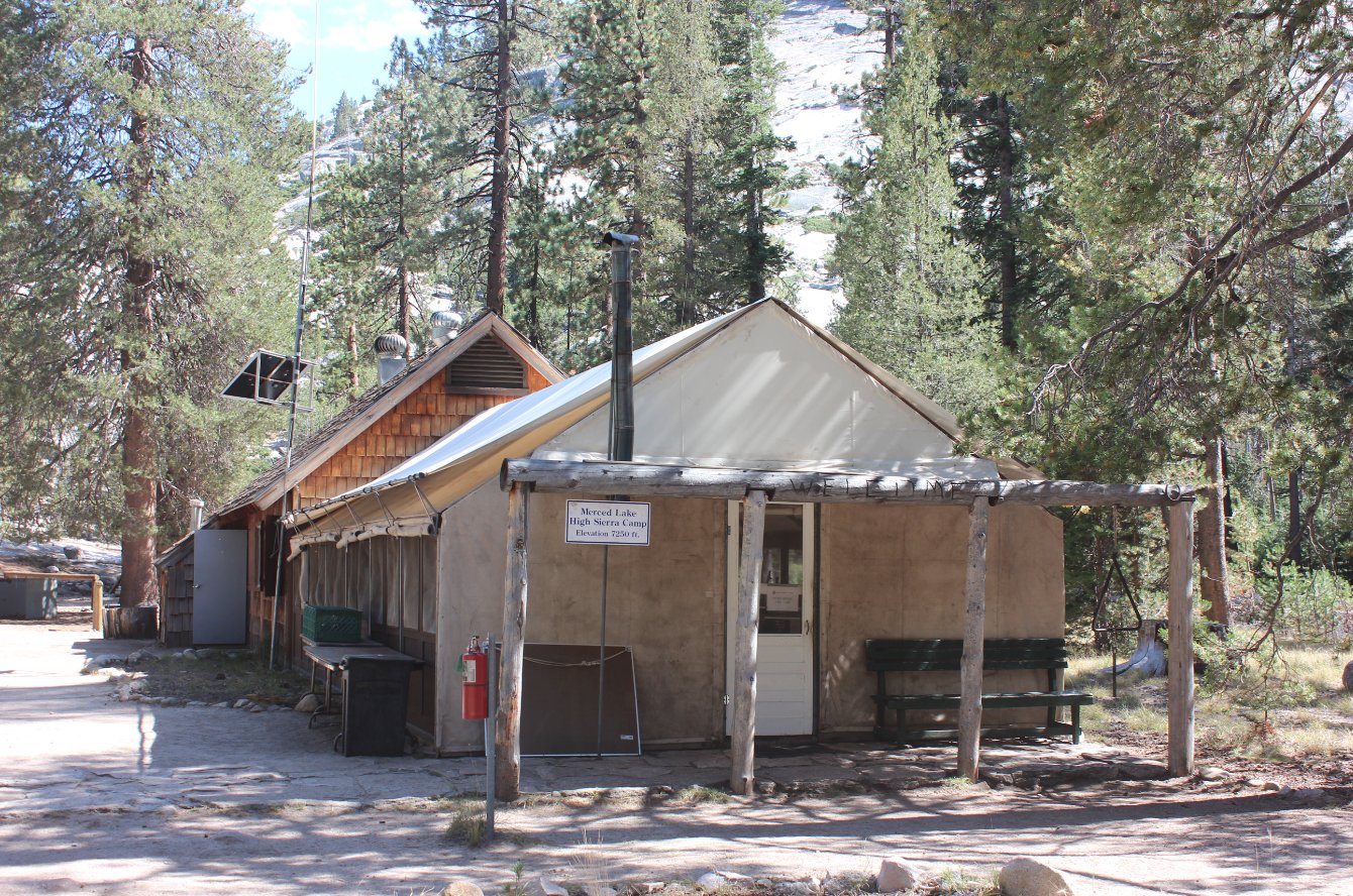
The Merced Lake HSC building.
This was probably the nicest of the staffs that we had along
the trip. |
 |
|
Yeah, I think I could live
here, for sure. |
 |
|
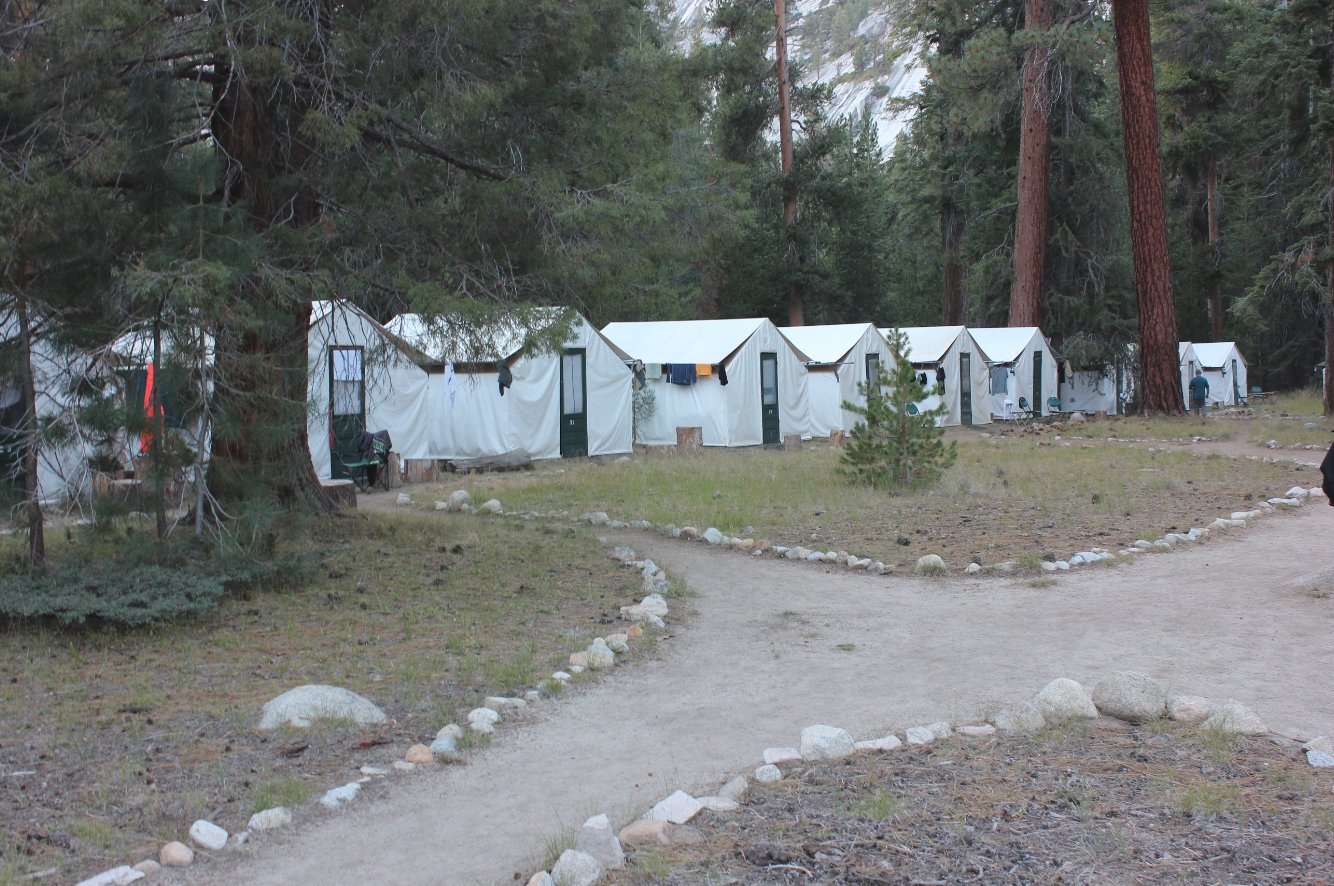
Merced Lake is the largest of
the HSC camps we visited on our loop. |
 |
|
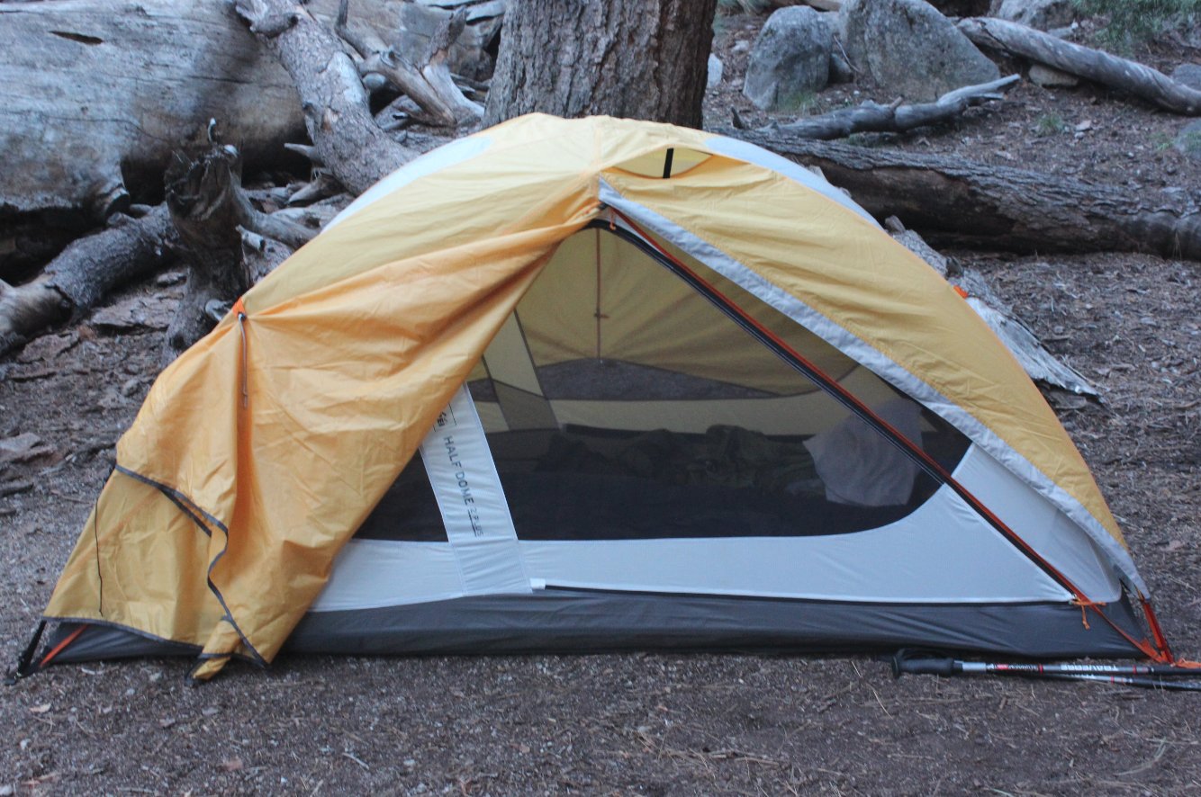
Our campsite at Merced Lake. |
 |
|
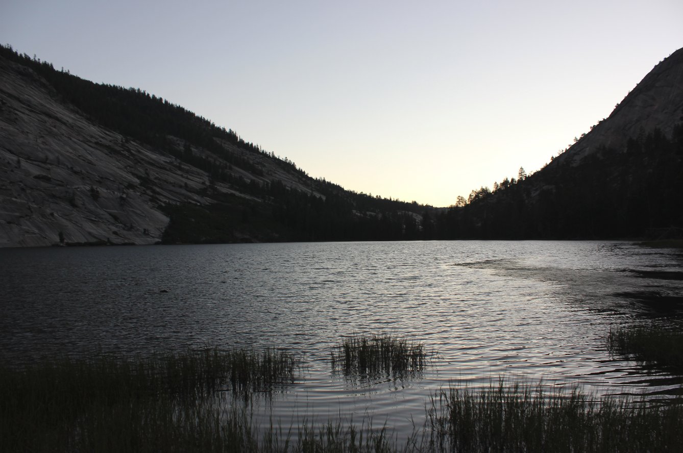
Sunset over the lake. |
 |
|
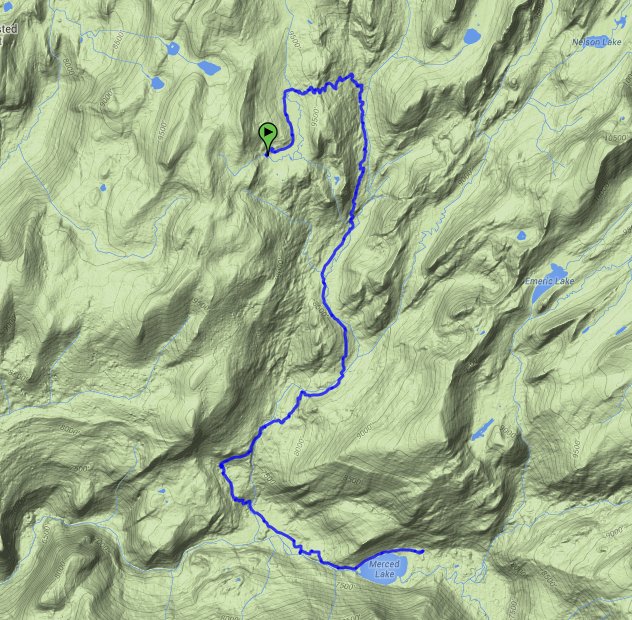
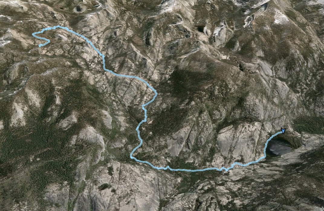
GPS Track of the full hike. |
 |