
|
Wolf
Creek Trail Hike
|
|
Trip Date: 8/13/2020
Distance:
12.5 Miles
Vertical Gain:
1700'
Group Size:
2
Hike Rating: Easy
Moderate
Hard
Strenuous |
 GPX for
this trip
|
|

|
Start Coordinates: |
N 38 35.583, W 119 41.800 |
|
End Coordinates: |
Same as Start Coordinates |
| Car Shuttle
Req'd: |
No |
|
Parking
Directions: |
Take
Highway 4 from the east side where it starts at the junction with
Highway 89 (at the start of Monitor Pass.) Turn left at the
junction of Wolf Creek Rd and Highway 4, and follow this road for about
5 miles to the parking area at the campground. The first couple
miles are paved but the rest is dirt road suitable for 2WD vehicles.
|
| Hazards of
Note: |
Remote
mountain trail that is well defined but off the beaten path.
Chances of wildlife encounters including mountain lions and black bears.
|
|
Crowd Factor: |
Minimal.
There might be some people from the campground along Wolf Creek
over the first half mile or so, but otherwise you will probably have
this entire trail to yourself. |
General Notes:
From
the parking area near the campground, head toward the trailhead kiosk
and continue west past the gate which blocks vehicle access from this
trail. This was an old jeep trail before the area become part of
the Carson-Iceberg wilderness as evidenced by older maps showing this
feature. You will enter the wilderness area almost immediately,
passing one of the iconic wooden wildness name signs. The trail
mostly follows a gradual slope up along the way, following the north
side of the creek for most of the way. Much of the first 3 1/2
miles are trekking through the forest in the river canyon, but every
once in a while there are nice views toward Mineral Mountain and an
unnamed sharp, pointed peak to the south.
Past
the 5 mile mark the trail bends sharply to the right and begins a
short, steep climb for about 200 feet, and at the top of this section
is an old barbed wire gate that is still intact and able to be easily
passed through by slipping the catch off of the gate post. Once
you cross over this the views really open up without as much vegetation
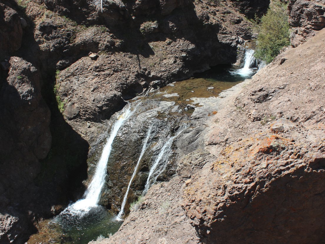
lining the trail, and there is a bonus of the Wolf Creek Falls to your
left. There are great views of the multiple level falls down to
the south of the trail, including the 30' main section of falls.
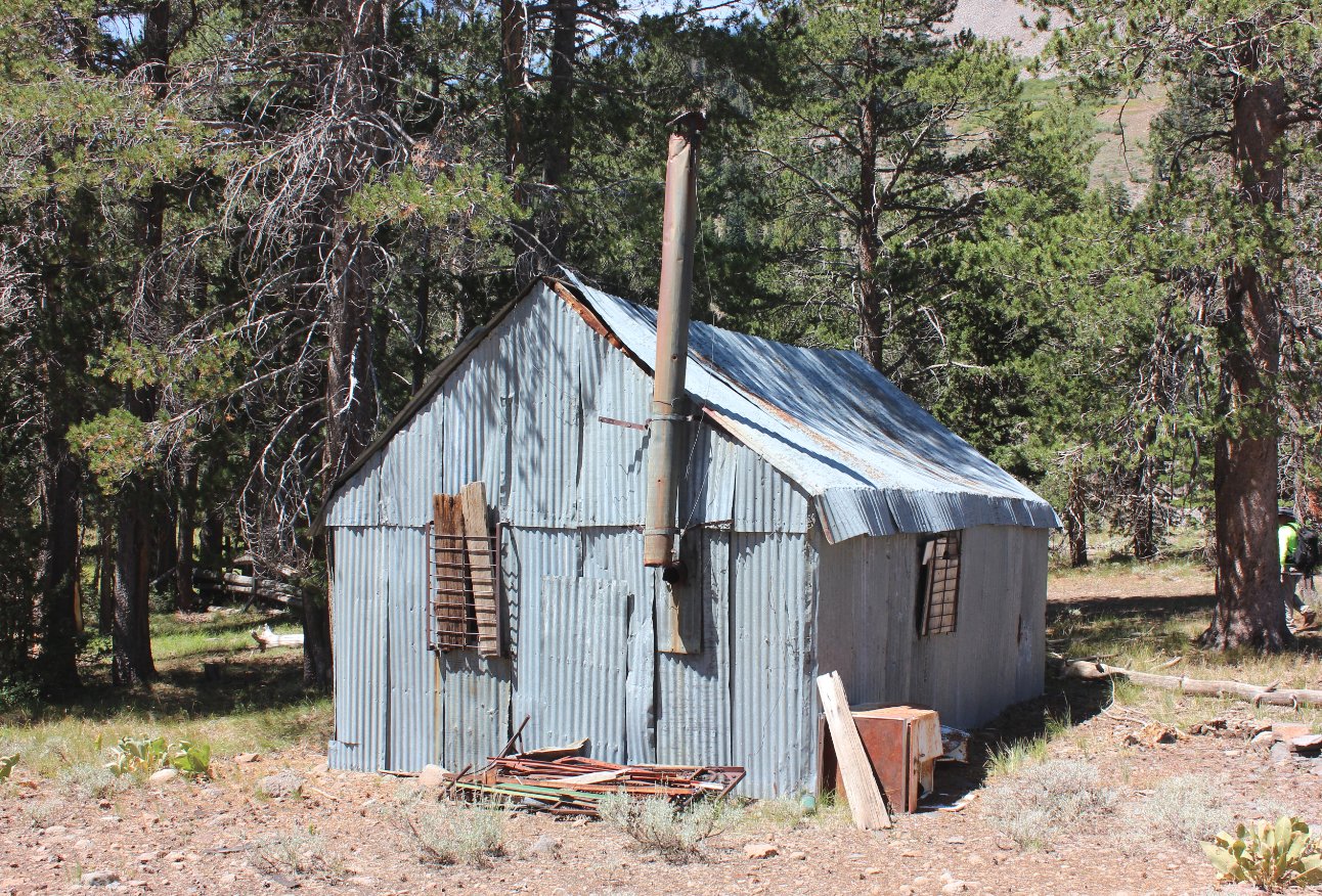
As
an extra bonus, continue about 6/10 of a mile further, then navigate
off the trail about 300' to find yourself at an old, intact metal cabin
in the midst of a gorgeous meadow setting. The cabin is an
unusual feature in the Carson-Iceberg Wilderness area, and appears to
be still in use as a small peek into the structure showed some modern
items such as rope, saws, a ladder and even an ice chest.
|
|
|
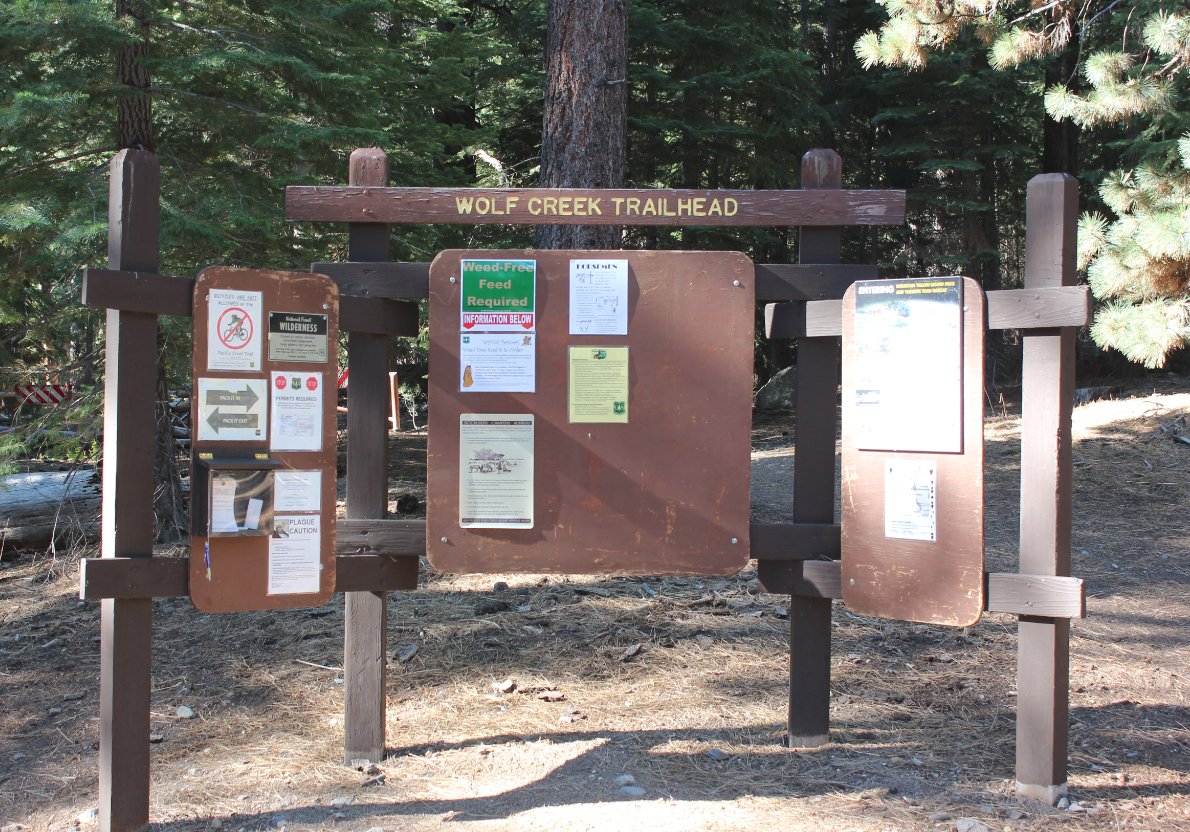
This
kiosk near the parking area is where the trail begins (directly behind
it,) and includes wilderness infomration and even self-service
overnight permits. |
 |
|
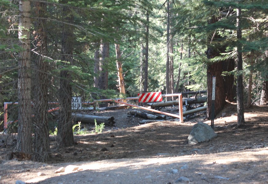
This gate
blocks vehicle access to the trail which has been converted from an old
jeep trail before the Wilderness Area was created. |
 |
|
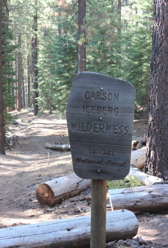
The
entrance to the Wilderness area is almost immediate once you hit the
trail. Most of the trail is in really good condition with
evidence of much clearing and maintenance. |
 |
|
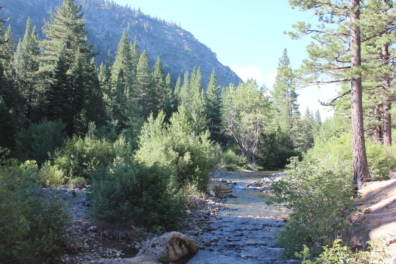
For the entire trip the trail parallels Wolf Creek, sometimes actually passing within just feet of the water. |
 |
|
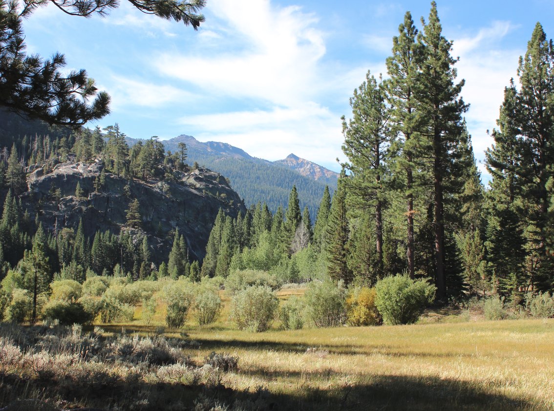
A mile
into the hike the trail leads away from the water for the first time,
skirting a pleasant meadow that has open views toward Mineral Mountain
to the south.
|
 |
|
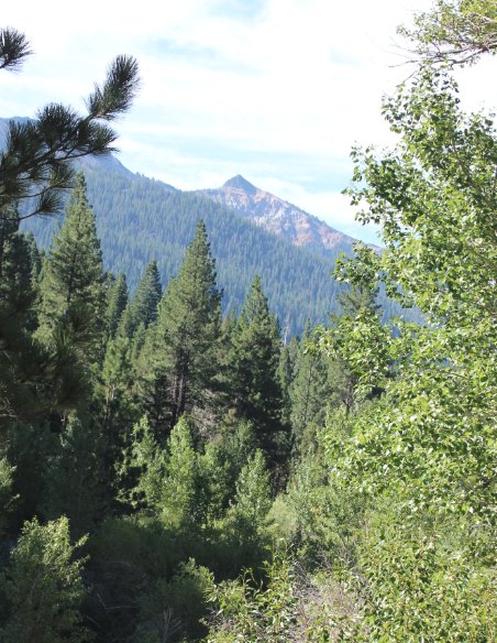
There is
an unnamed but very distinctive peak west of the larger Mineral
Mountain to the south. One of the maps indicated a feature called
Soda Cone, but not sure if this is it or not. |
 |
|
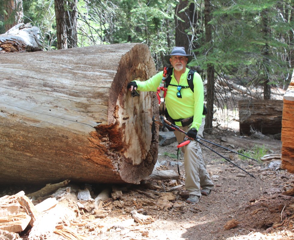
This log
cut was the most impressive example of trail maintenance on the way,
because being in the Wilderness means these cuts all have to be made by
hand. |
 |
|
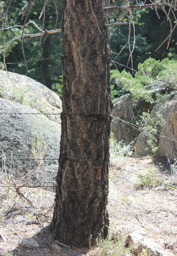
This
barbed wire fencing was so old that the top row didn't even have much
evidence of disturbance from the bark which has regrown over it. |
 |
|
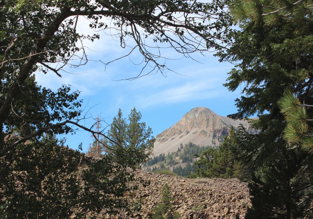
Almost to
the falls we caught a good glimpse of the volcanic peak that towered
over the cabin we ended up finding at our turn-around point on the day. |
 |
|
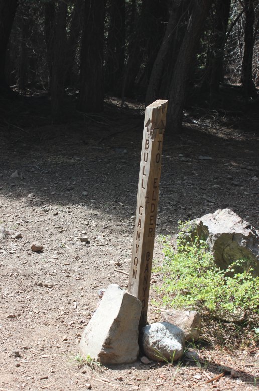
Although
this trail was remote, it was well marked including this junction to
head up toward Bull Lake and then eventually Noble Lake as an option. |
 |
|
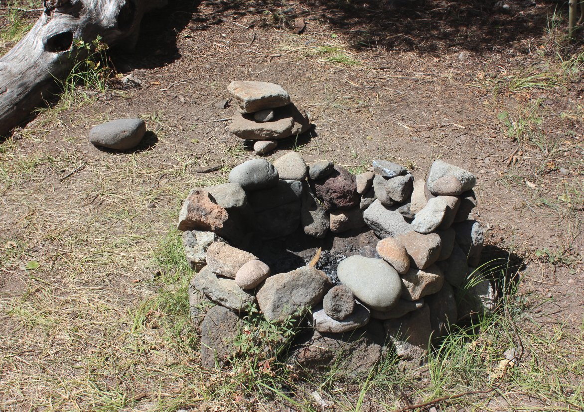
Someone put a lot of effort into this firepit and the seating next to it. |
 |
|
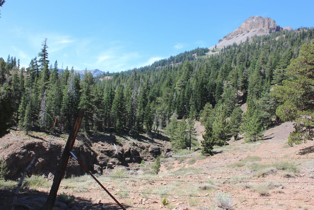
Past this old gate the trail really opened up with nice views all around, and a look at the Wolf Creek Falls just ahead. |
 |
|
Even this late in the year the falls were flowing well, and the water looked very inviting on a hot day such as this one. |
 |
|
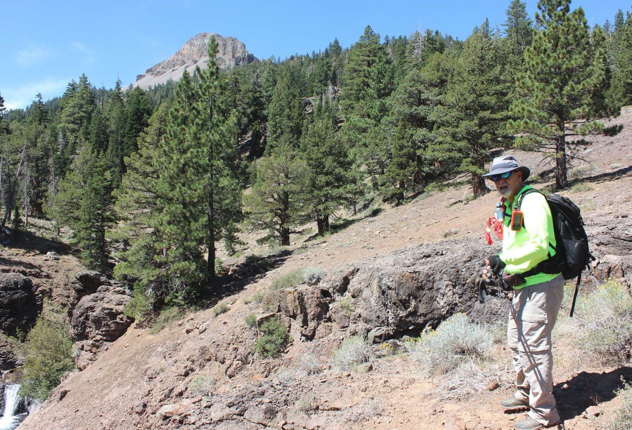
Mark stopped for a quick break on the way as we got closer to the destination we were scouting for. |
 |
|
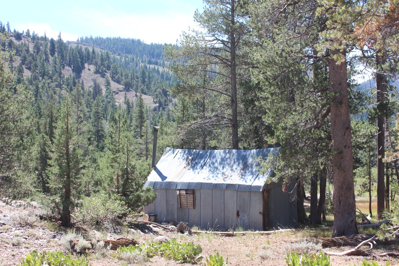
Having
discovered a black square (indication of a human structure) on the topo
map while researching this trip, we were pleasantly surprised to
discover the place still existed. |
 |
|
Although
appearing to be boarded up, we discovered that there has been recent
activity in the place as evidenced by the items discovered inside. |
 |
| Lots of items in the cabin that show fairly recent use by someone. | 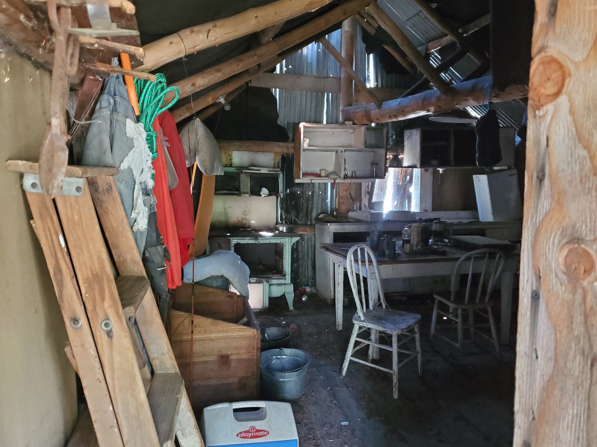 |
|
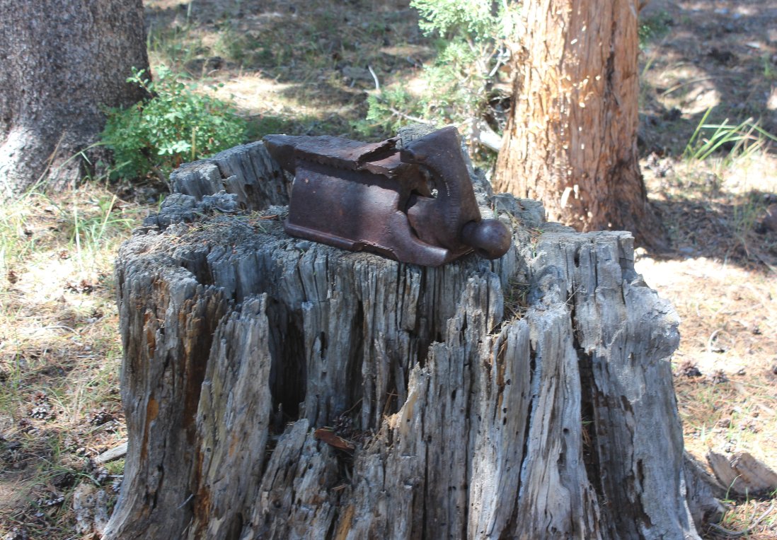
Outside
of the cabin there were some interesting artifacts, including this
heavy anvil which neither of us volunteered to pack out of the
wilderness. |
 |
|
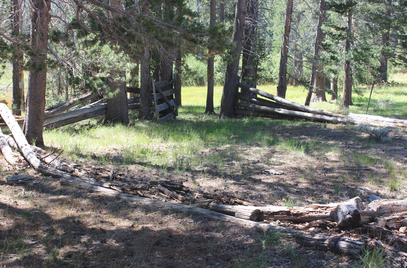
The old corral was broken down but someone had put a lot of effort into building it at one point. |
 |
| Quite the impressive backdrop behind the cabin area with this mountain towering a couple thousand feet above it. | 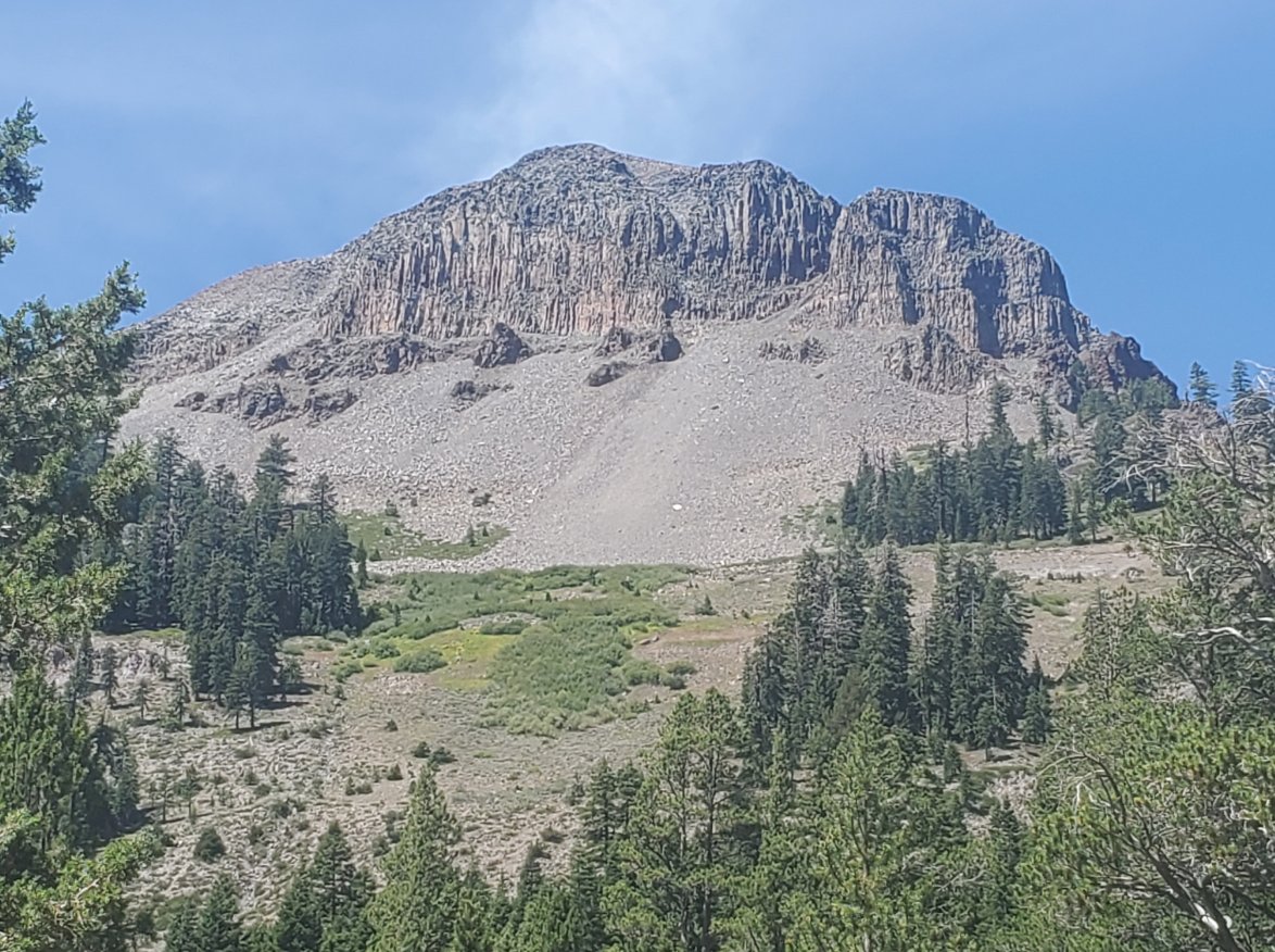 |
|
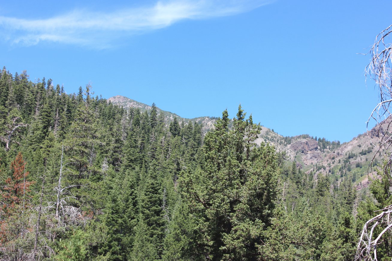
Getting
our bearings of the area after stopping for lunch and studying the map,
we were able to make out the back side of 11K' Highland Peak to the
north, which we had hiked near earlier this year on the way to Noble
Lake. |
 |
|
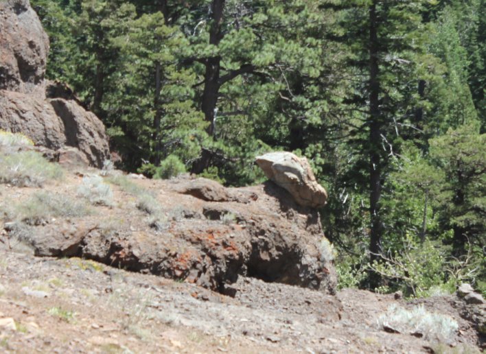
On the way back out we stopped to check out the alien head shaped rock that appeared to be watching over Wolf Creek Falls. |
 |
|
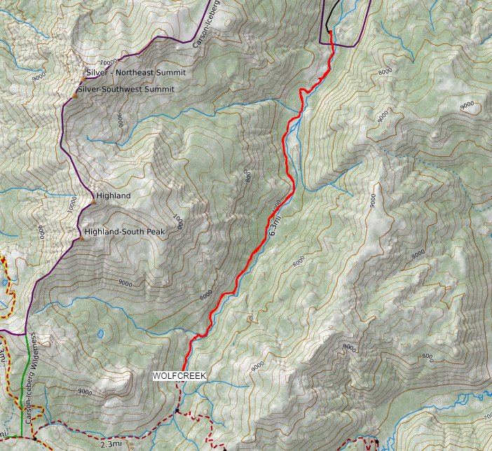
GPS Track
of our out and back hike, starting from the upper right and heading
down the canyon to the bottom left before returning the way we came. |
 |


 GPX for
this trip


