Distance: 11.5 Miles
Vertical Gain: 2100'
Group Size: 4
Hike Rating: Easy Moderate Hard Strenuous
 GPX
for
this trip
GPX
for
this trip
| Start Coordinates: | N 38 41.691, W 119 59.435 | End Coordinates: | N 38 40.827, W 119 57.642 | ||
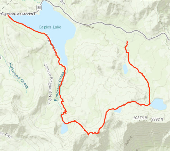
| Car Shuttle Req'd: | Yes | Parking Directions: | For Forestdale Divide Parking - Take Highway 88 to Red Lake and turn into the signed entrance for the lake. Almost immediately turn left onto the dirt road which is Forestdale Divide road. Head up this road for just under 2 miles, or however you feel comfortable taking your vehicle on this very rough dirt road. Park your vehicle here for the end point of the hike. For Carson Pass Parking - Take Highway 88 to the crest, Carson Pass and park in the large parking lot next to the Information Station building located here. This will be the start of the hike. Besides parking there are also pubic restrooms available. |
||
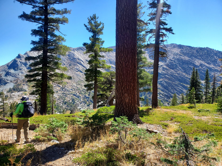
| Hazards of Note: | This is a long trek and heads down into the very remote Summit City Canyon below 4th of July Lake. Ensure that you have someone good at route-finding on the trip. |
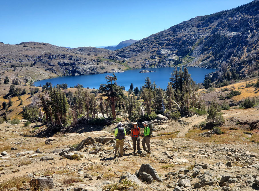
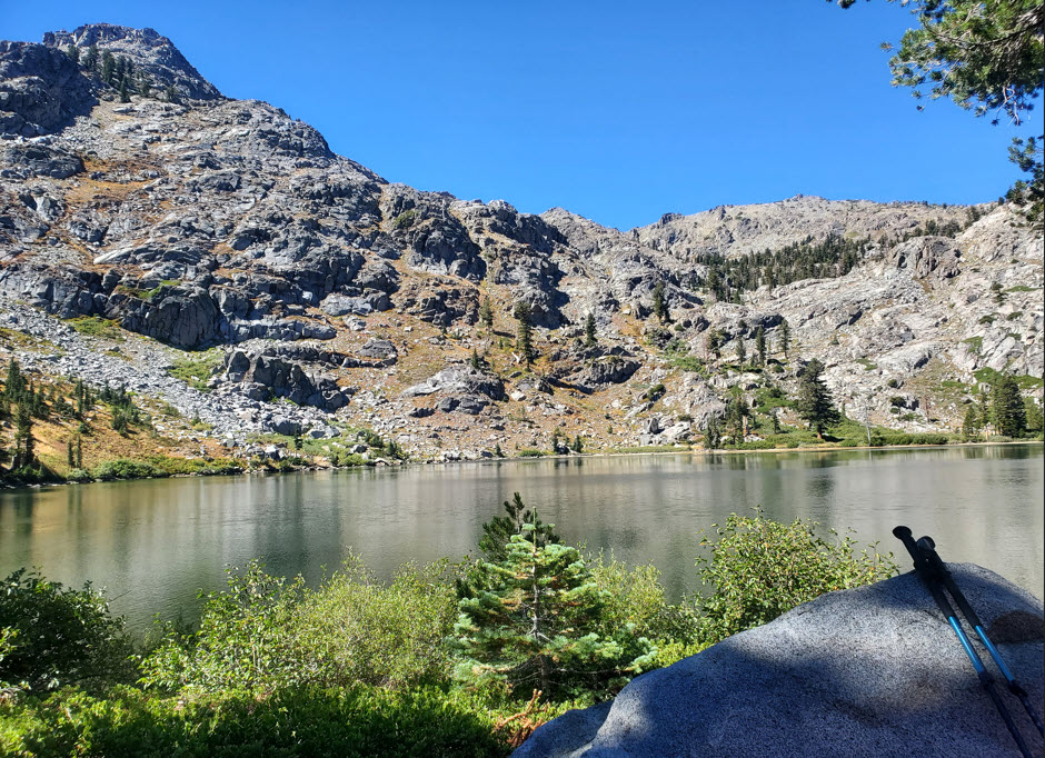
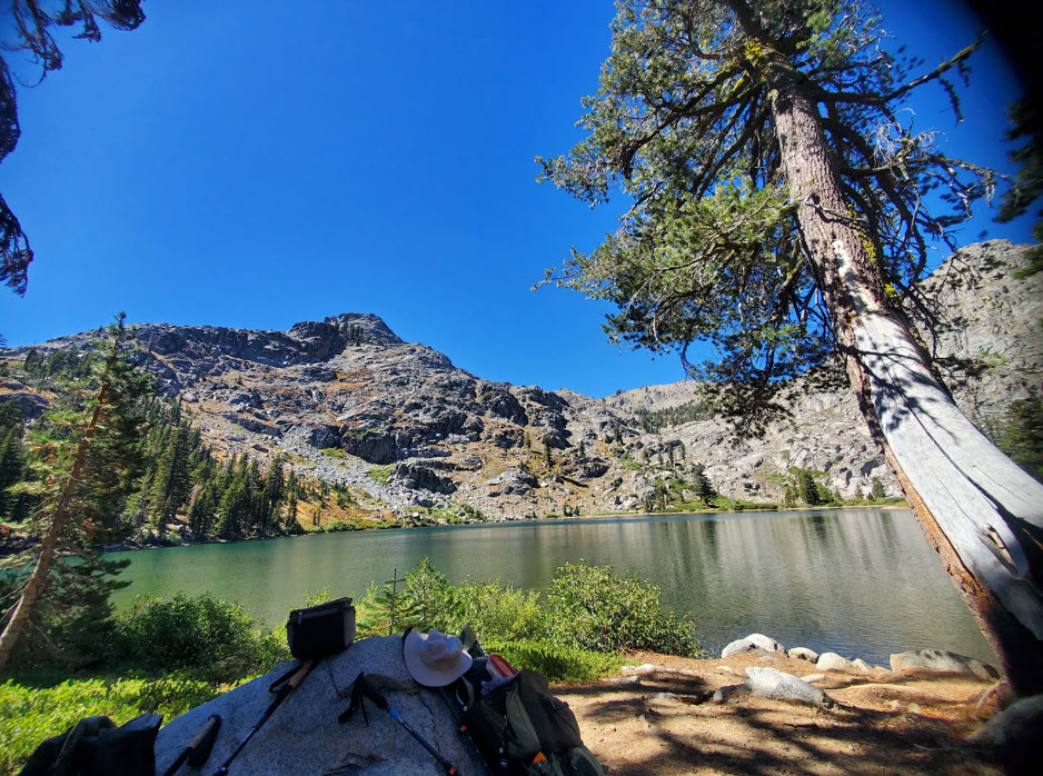
Crowd Factor: | High followed by minimal to none. The Trail from Carson Pass is the most heavily traveled trail in the entire Mokelumne Wilderness and is known for wonderful displays of wildflowers in the summer. You will encounter a large number of day hikers and backpackers on this section. Once to pass Round Top Lake and drop down to 4th of July Lake, there will be fewer people and then after dropping down into Summit City the chances of running into others will be very slim. | ||
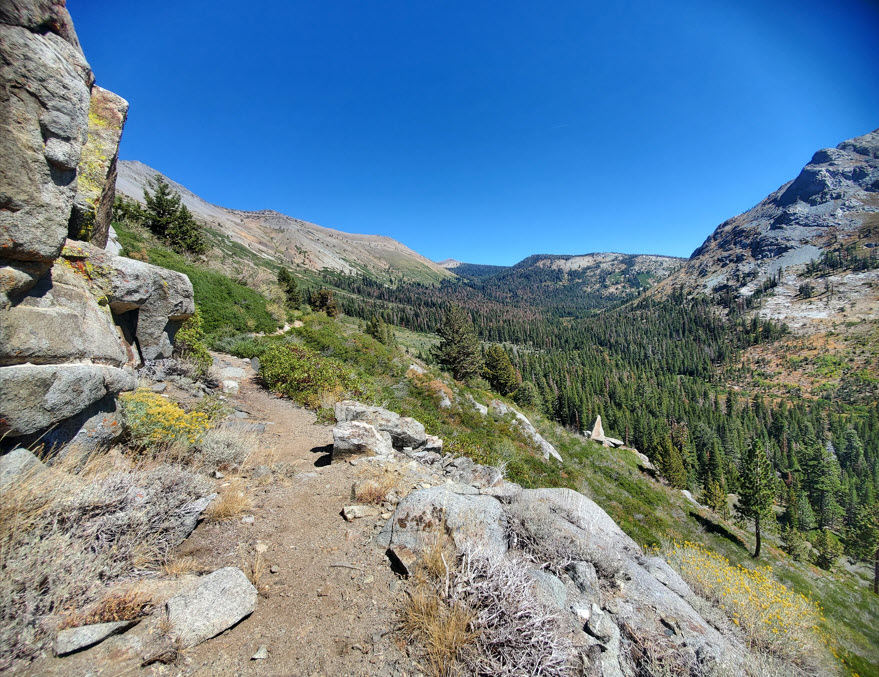
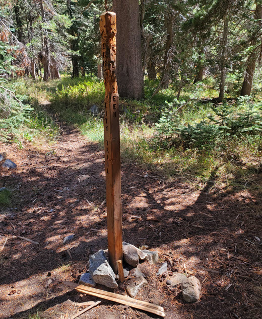
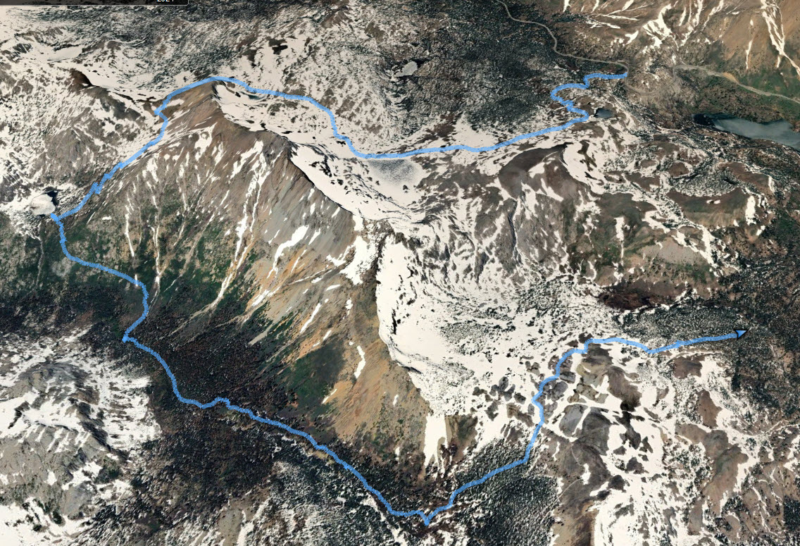
| General Notes: From the parking area pick up the trail just to the right of the Information Station. Head up the trail for about a mile to the junction with Frog Lake and continue straight on the Lake Winnemucca trail. About 500 feet further is a junction to the left for the PCT, but stay going straight to Lake Winnemucca another mile and a half ahead. At the end of the lake cross the outlet stream on two fallen logs and then head up another mile to Round Top Lake. You will gain about 500 feet of elevation on this trail. Cross this outlet stream on another two logs and then head west until the trail takes a curving bend to the south and then begins a 1000' descent to 4th of July Lake. Past this lake the trail continues down into Summit City where you will join with the Evergreen Trail. Head left (east) and follow this trail until you reach the junction for the Forestdale Divide trail. This trail will generally parallel the Evergreen Trail which you just left, but climbs slowly up the back side of the Round Top Mountain massive. About 1 3/4 miles from the junction to the trail down from 4th of July Lake, and begin a cross country trek of less than 2 tenths of a mile to locate the marker for Winnie's Grave at coordinates N 38 39.115 W 119 58.054. Adaline Winaford Pleasant died in 1865, the only confirmed person to have died in Summit City. Her famly has placed this marker at the site of her burial, which includes some interesting history of her short life (14+ years.) From here you will head north and slightly west to pick the Forestdale Divide trail back up. Once you reach the crest of Forestdale Divide, follow the jeep trail down until you reach the car that you parked at this location. Option: You can make this a full loop of about 16-17 miles by following the PCT from the Forestdale Divide crest which will lead you all the way back to Carson Pass. You could also make this a much shorter out and back by starting at the location the vehicle is parked at on Forestdale Divide and head down to the coordinates and back. |
|||||