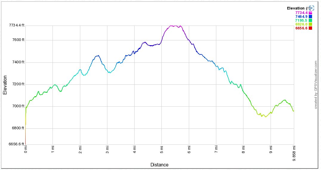
Distance: 9.75 Miles
Vertical Gain: 1100'
Group Size: 3
Hike Rating: Easy Moderate Hard Strenuous

 GPX for
this trip

| Start Coordinates: | N 38 50.878 W 120 14.375 | End Coordinates: | Same as Start Coordinates | ||
| Car Shuttle Req'd: | No | Parking Directions: | Take Highway 50 to Wrights Road. Turn north, and drive 8 miles to the entrance of Wrights Lake area. Continue north at the park entrance toward Dark and Beauty Lake. Follow the signs to the trailhead parking for Rockbound Pass at the coordinates listed above. If you arrive early enough you may be able to grab one of the three or four spaces to park right at the Barrett Jeep trailhead, for which there is no charge (as of 2022.) | ||
| Hazards of Note: | Barrett Jeep trail is dusty and very dry. Little water along the trail. | Crowd Factor: | With the jeep trail currently closed to jeep riders, the number of people on the trail is minimal. The only probable chance of running into others will be on the Rockbound trail until you turn off toward Willow Lakes. | ||
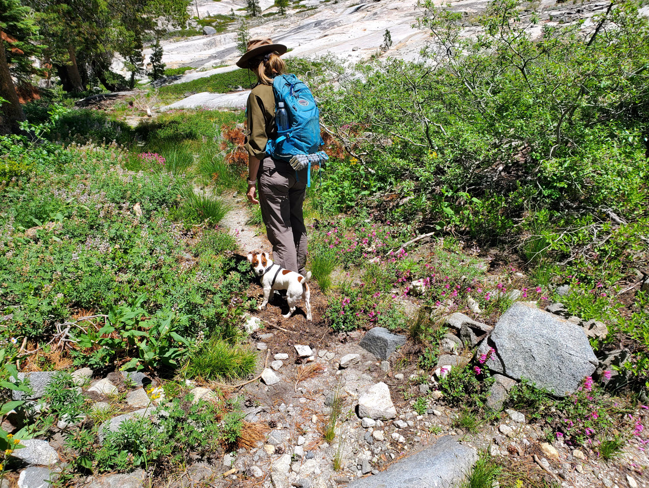
| General Notes: From the Barrett Jeep Trail start head north for about 1/2 mile until you reach the junction for the trail that goes to the right (east) toward Beauty Lake. Once past this lake you will head left at the junction of the trail that would otherwise take you back to Wrights Lake. Continue for about 3 miles along the Rockbound Trail toward Maud Lake. About 1/4 before you reach the lake you will need to look for a faint trail that leads off to the left (north) from the main trail. This is the start of the connector trail between Rockbound and Red Peak Stock Trail a mile further north. Halfway along this unnamed connnector trail you will find the first of the two Willow Lakes off to the left. This first one is the easier of the two to access from the trail, and the location is wonderful. You should have this lake all to yourself, even on a weekend. Leaving the lake and continuing north you will continue along this lightly used trail, which during the summer was filled with fields of purple camas flowers. The junction with the Red Peak Stock Trail is not signed, but was easily identifiable at the point where the unnamed connector trail stopped and a faint trail can be seen heading east and west. Take the trail to the left (west) and follow it as well as possible for about 1/2 mile until you meet up with the Barrett Jeep Trail. The rest of the trip will be along this trail, which is dusty, rocky and has some fairly steep downhill sections. Since this is a hike into Desolation Wilderness, you will need a day permit (free at the trailhead) and the group size limit is 12. |
|||||


