Distance: 8.6 Miles
Vertical Gain: 2000'
Group Size: 2
Hike Rating: Easy Moderate Hard Strenuous
 GPX for
this trip
GPX for
this trip

| Start Coordinates: | N 38 47.362 W 120 00.011 | End Coordinates: | Same as Start Coordinates | ||
| Car Shuttle Req'd: | No | Parking Directions: | Take Highway 89 between Highways 50 and 88, and park at the Big Meadow trailhead parking area at the coordinates provided on the north side of the road. | ||
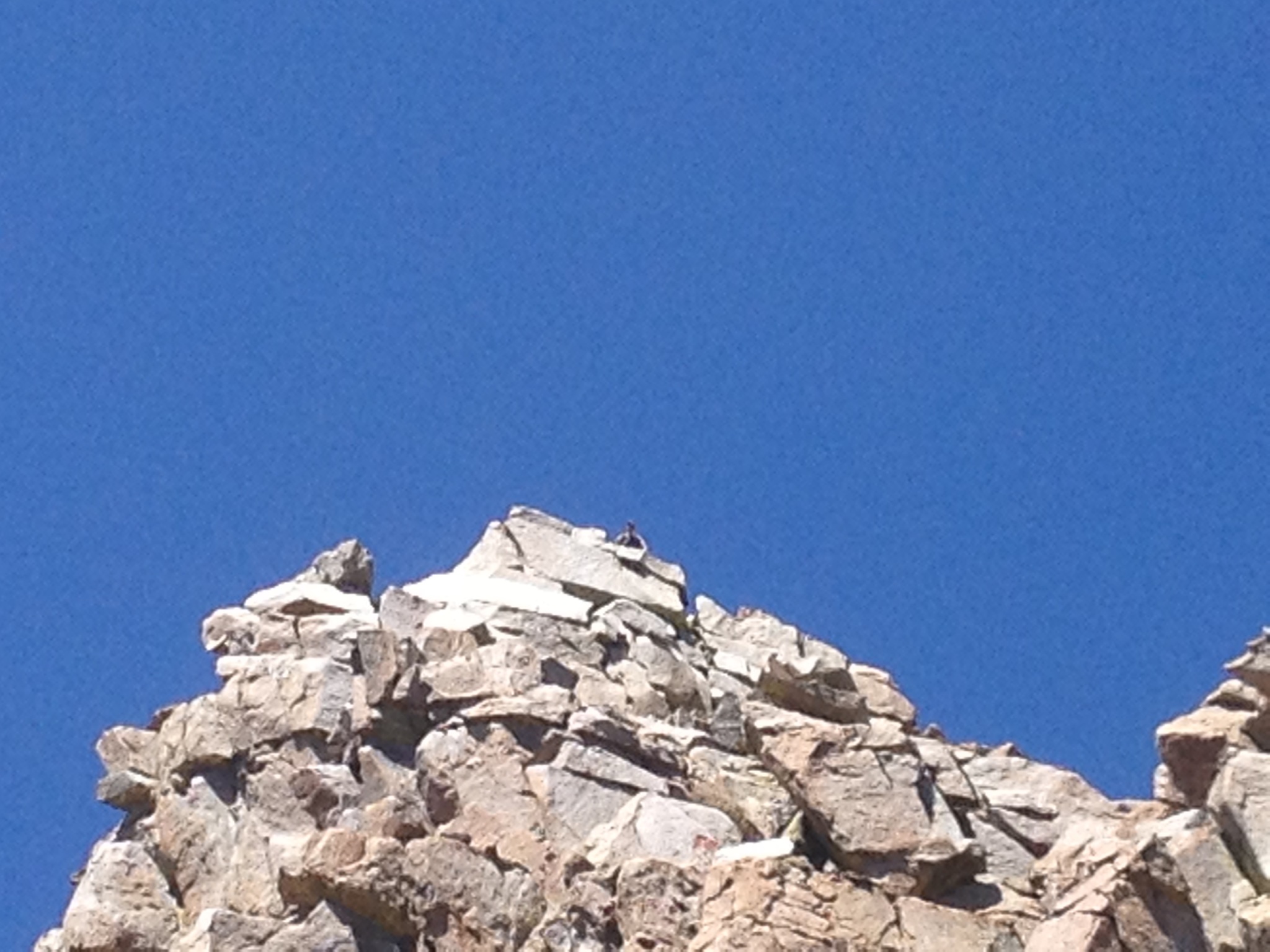
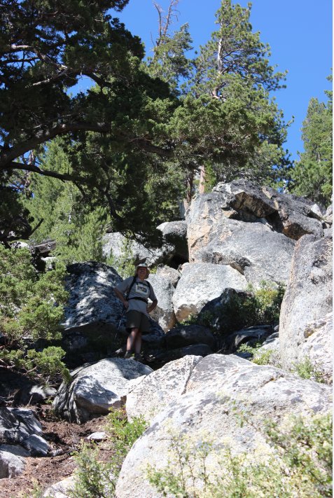
| Hazards of Note: | The climb to the top of
Waterhouse peak is steep and rocky, requiring good footing and balance. |
Crowd Factor: | Minimal. The first part of this trail to Big Meadow is fairly well-travelled as part of the Tahoe Rim Trail, but the branch off to Scott's Lake is far less visited. | ||
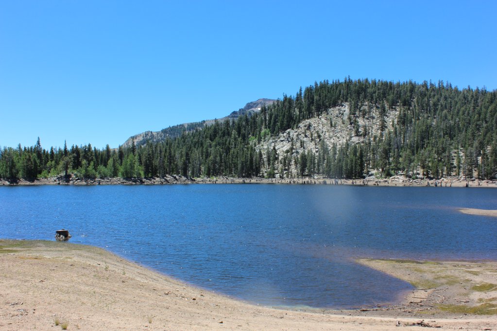
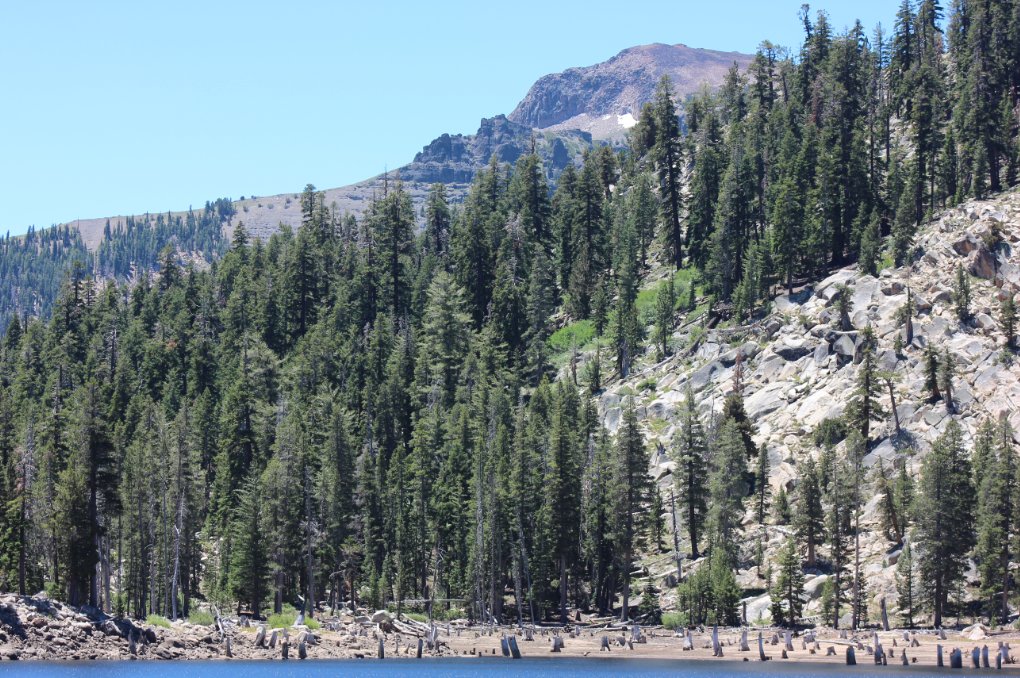
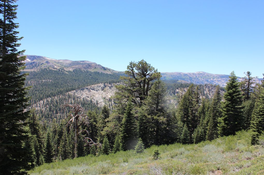
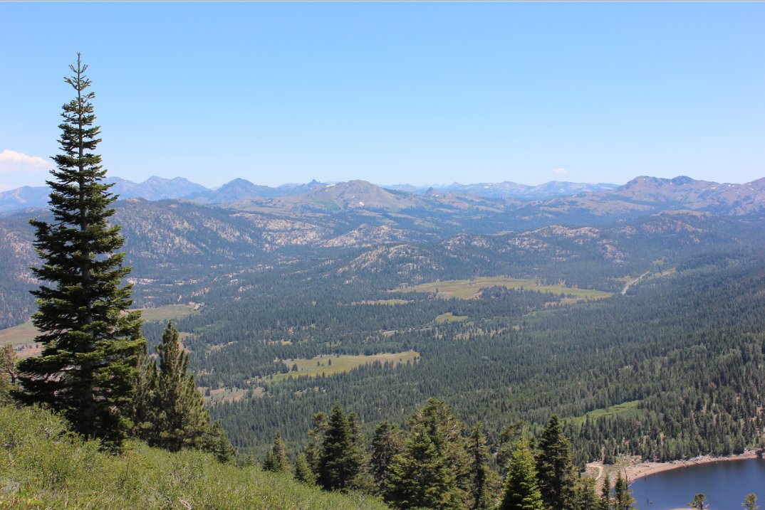
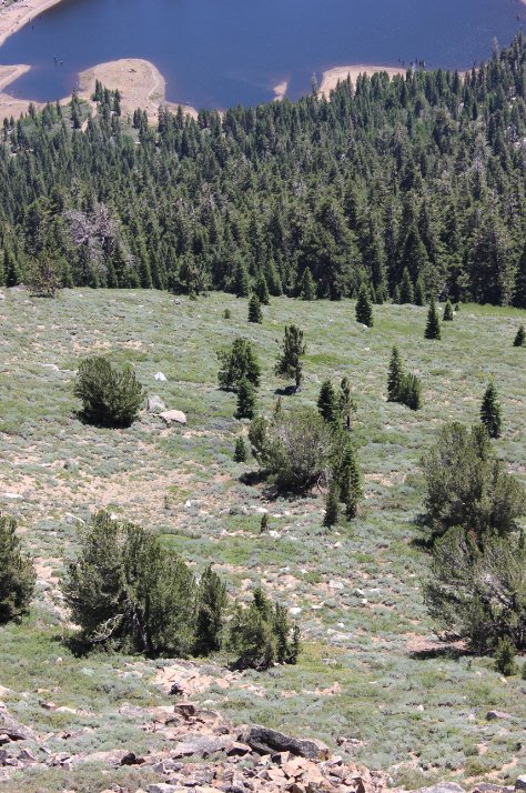
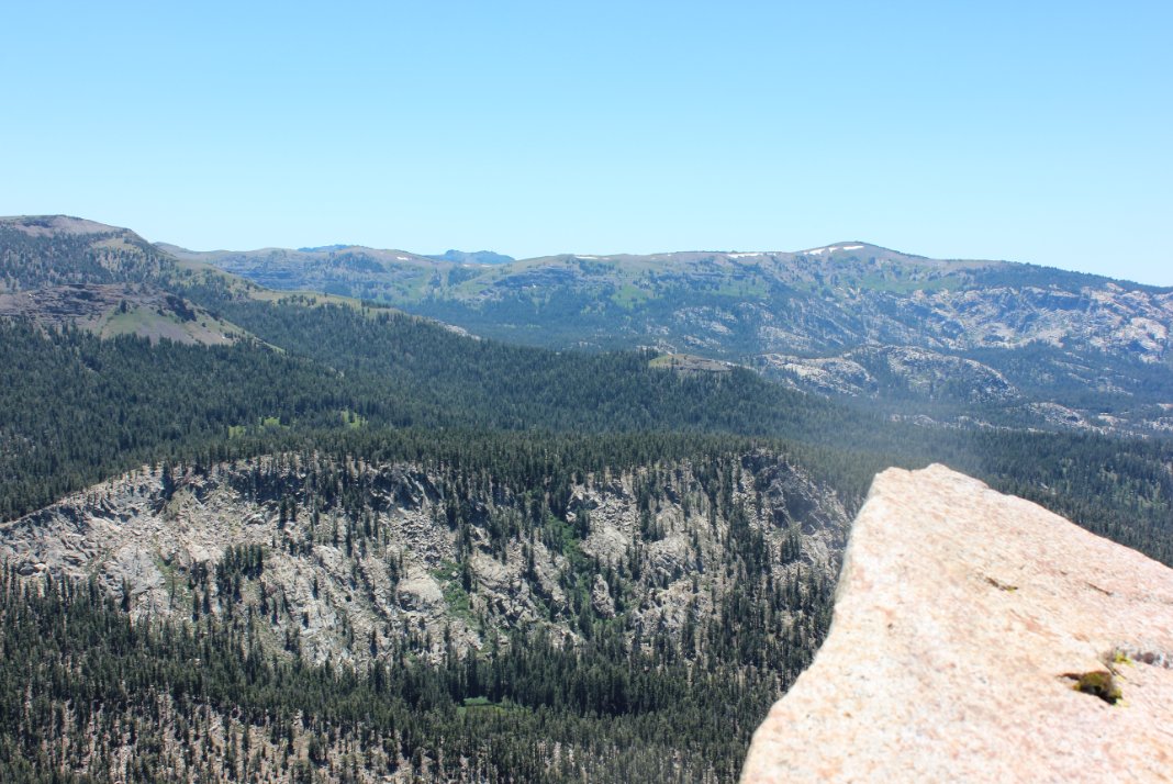
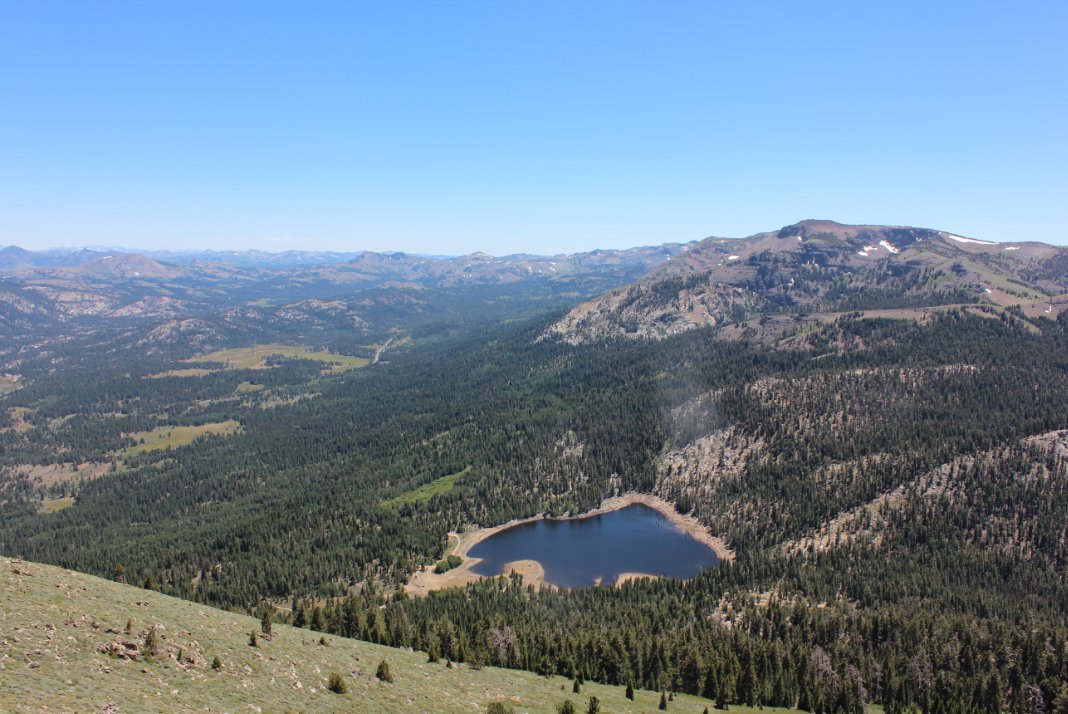
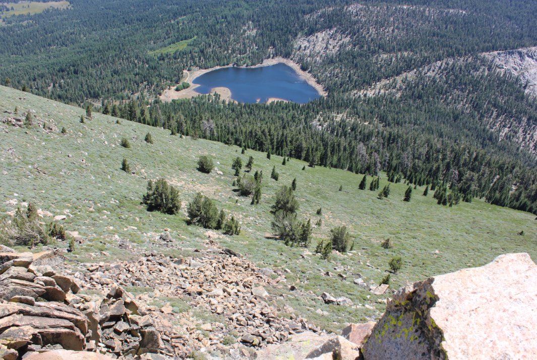
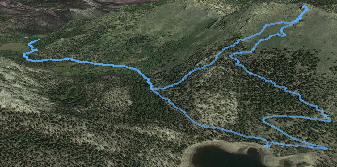
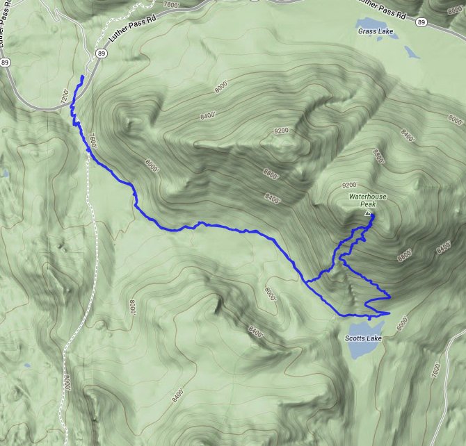
| General Notes: From the parking area, cross Highway 89 carefully at the trail crosswalk. Head up the steep first section of trail, and in less than a half mile you will come to a trail junction, with the way to Scotts Lake to the left. The trail to the right will follow the Tahoe Rim Trail and head on to Round Lake and Carson Pass in the distance. Follow the Scotts Lake trail as it climbs up through the forest along the base of the ridge to your left. When you reach Scotts Lake, you will head along the north side of the water, and then branch left up a dirt road that heads up and back toward the way you came, gaining altitude quickly. The road will switchback, and then about a quarter mile further you will find another junction to the left, which will begin the scramble up to the top of the peak. There are some areas where you can find use trail from previous summit climbers, but these are hard to follow and it is best to just navigate through the brush as well as possible. The view at the top after climbing some rocky terrain is great, especially toward Little Round Top to the west. Head straight back down toward Scott Lake on the return trip, cutting nearly a mile off the overall trip. You will pick up the Scotts Lake trail and then head right (north) all the way back to the parking area. |
|||||