
|
Vogelsang
Peak Hike
|
|
Trip Date: 08/20/2015
Distance: 6.0 Miles
Vertical Gain:
1400'
Group Size:
8
Hike Rating:
Easy
Moderate
Hard
Strenuous |

 GPX for
this trip
|
|

|
Start Coordinates: |
N 37 47.710, W 119 20.714 |
|
End Coordinates: |
Same as Start Coordinates
|
| Car Shuttle
Req'd: |
No |
|
Parking
Directions: |
The
closest parking to the trailhead at Vogelsang High Sierra Camp is at
Tuolumne Meadows, approximately 7 1/2 miles NNW of the camp.
To
get there, take
Highway 395 south from Monitor Pass toward Mono Lake. At Lee
Vining, turn on Highway 120 (Tioga Pass) and enter Yosemite Park on the
east side. About 10 miles into the park turn at the
Wilderness
Permit area (Tuolumne Meadows Lodge Road) and continue to the parking
coordinates for backpacker vehicles. |
| Hazards of
Note: |
Some elevation gain, mosquitos. |
|
Crowd Factor: |
Moderate.
The trail up toward Vogelsang Pass is reasonably popular with
hikers looking to explore the area behind Vogelsang High Sierra Camp.
The trail after the first mile and a half is then
cross-country,
meaning you will encounter far less (but still some) others on the way. |
General Notes:
The
actual beginning of the
trail can be found as you head around to the backside (south) of the
High Sierra Camp main building. Follow the trail for a little
ways until it reaches Vogelsang Lake, and then follow along the western
edge of the lake with great views back across the water and toward the
area of the campsite from where you started out. Just past
the
lake, there is a small row of white pine trees growing on the right
side of the trail, and this is the point where you will exit the trail
and head up the small ancient glacier carved valley directly toward the
base of the peak. When you get to the end of the valley, the
path
will head south, as far up against the mountainside as you can be while
climbing up a fairly rocky wash. A well-defined use trail was
followed for most of the way up this wash, and then about 1/4 from the
top the trail crossed over to the other side of the wash to finish up
at a plateau with a fantastic overlook to the south of Lyell Peak and
five or six glacial lakes which could be found below it.
From this
point you will head up to the southeast, picking your way through small
shrubs and scrub plants toward the rocky top of the peak. Do
not
head too far to the left of the peak, as the actual ridgeline is very
sharp with an ominous dropoff about a 1000 feet on the other side.
There is a short Class III scramble up to the actual top of
the
mountain once you are very close to the finish.
|
|
|
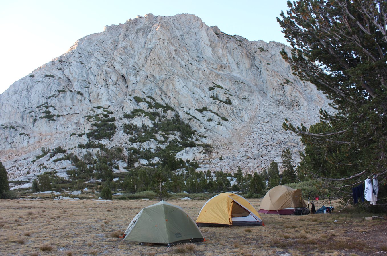
Our
starting point for the day at our campsite near the base of Fletcher
Peak. Just outside of the frame to the left is the tranquil
Fletcher Lake. |
 |
|
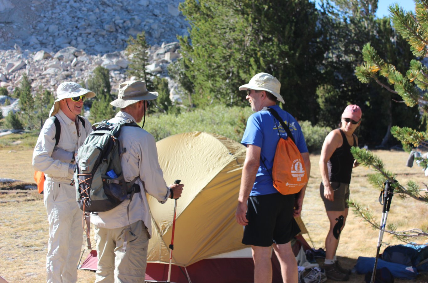
Bob, Phil, Lee, and Gail ready
to set off on the day's adventure.
|
 |
|
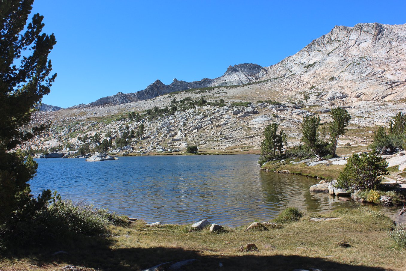
Our first
good view of Vogelsang Lake, showing the green in the distance which is
the stand of White Pine that indicates where to turn off the main trail. |
 |
|
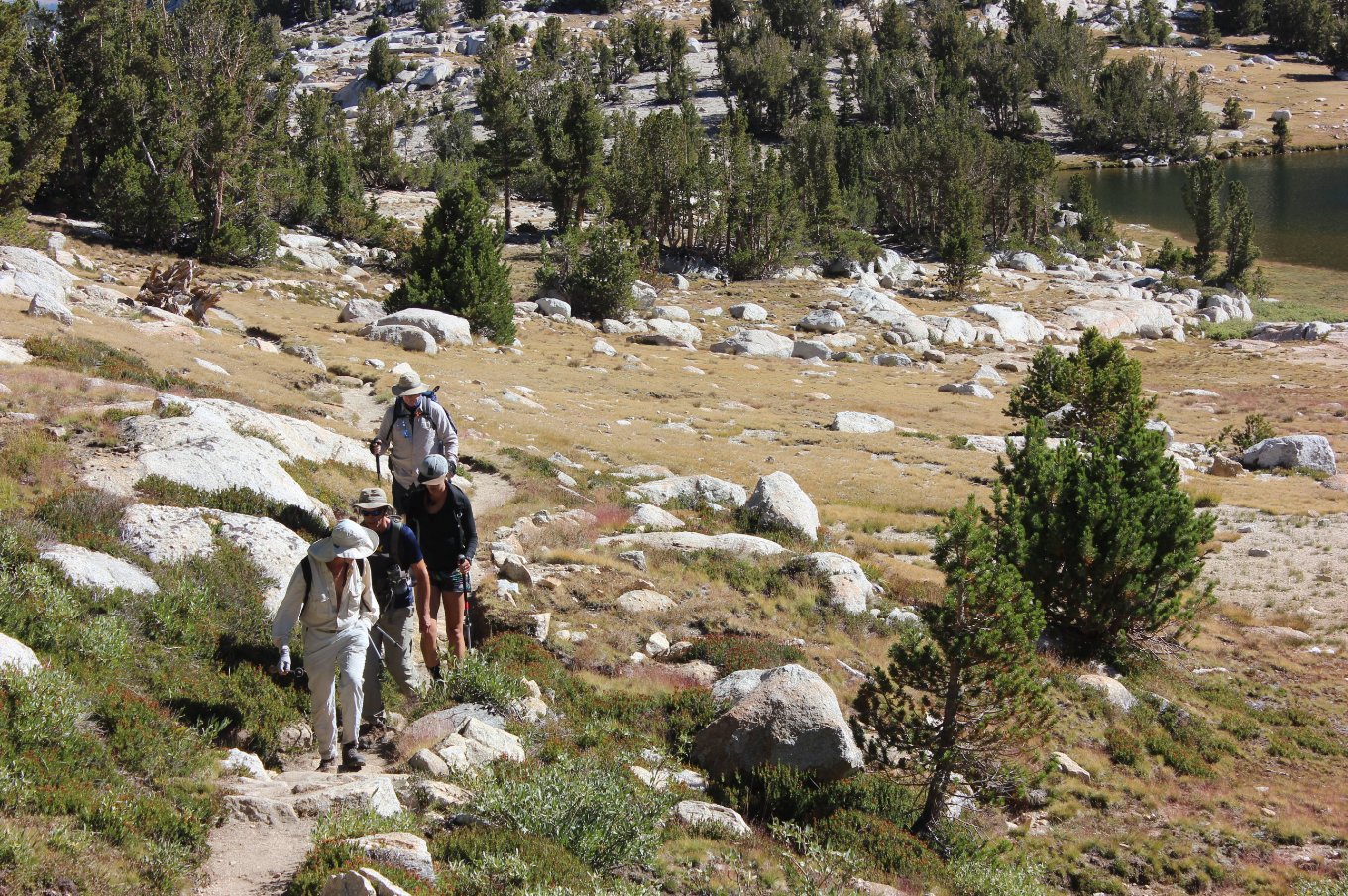
Hikers in our group making
their way up the early part of the trail, with Vogelsang Lake just
visible to the upper right. |
 |
|
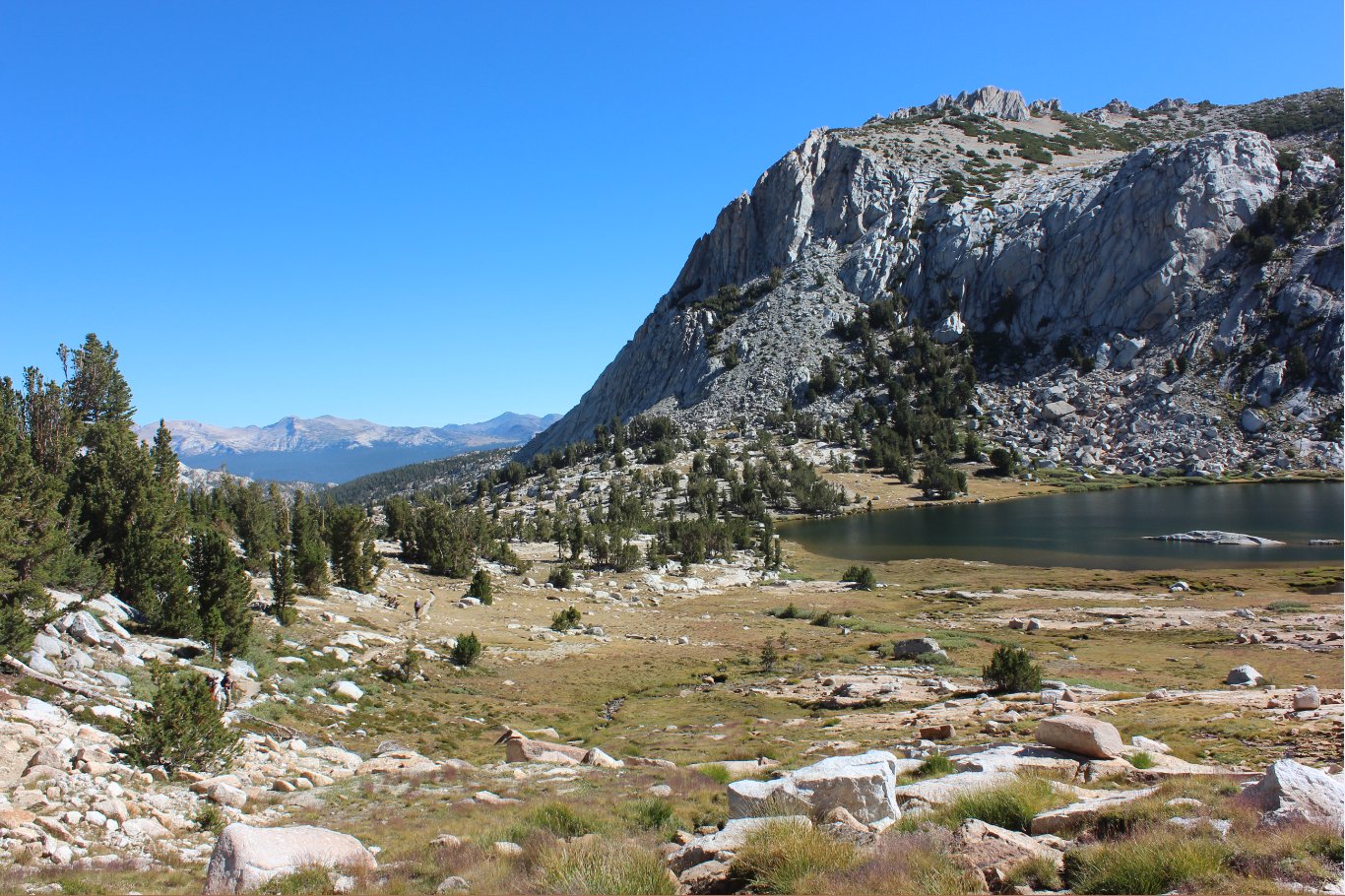
Starting
the climb up above and past the lake, a look back at Fletcher Peak on
the right and Mt. Conness far in the distance beyond Tuolumne Meadows.
|
 |
|
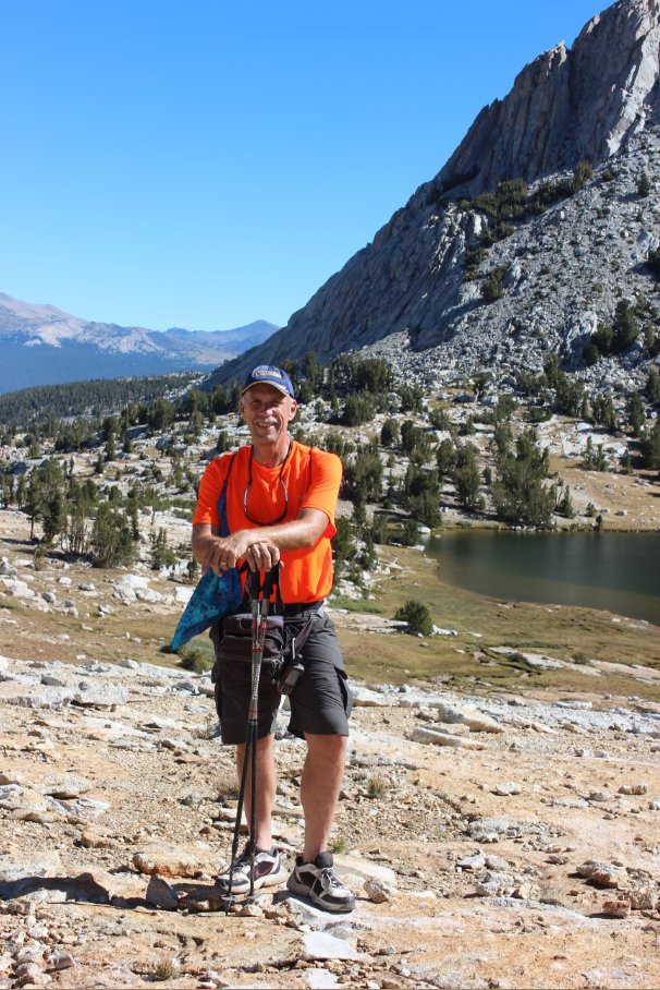
Yours truly hanging out along
the trail above the lake. |
 |
|
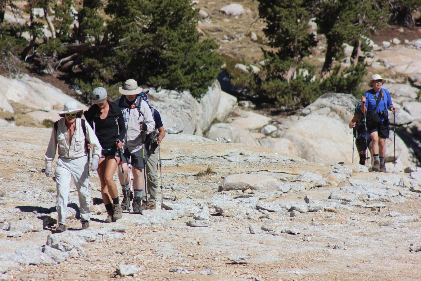
Our group making its way up
the last part of the trail before cutting off along the cross country
section.
|
 |
|
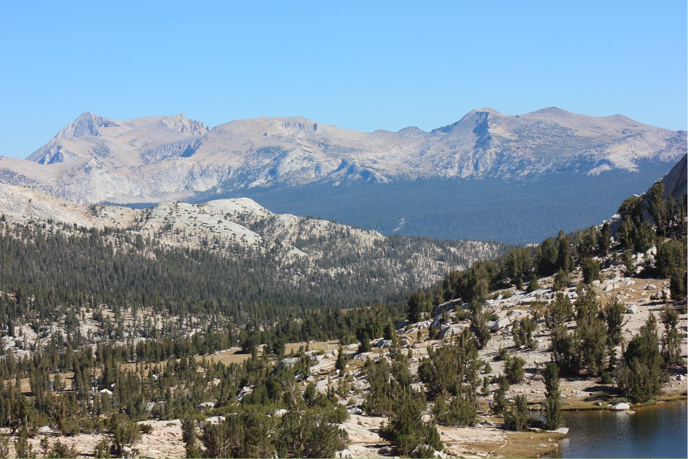
A look
back from where we came in the foreground, as well as back toward
Tuolumne Meadows far in the distance in front of the mountain range
behind. |
 |
|
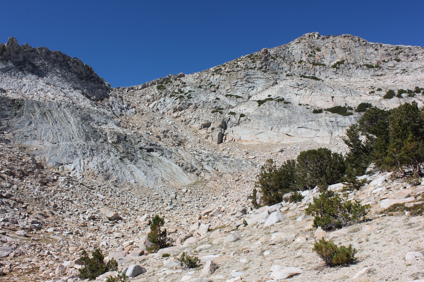
A look up
to the west toward the top of Vogelsang Peak, and the draw which will
be climbed up to the gap in the left and then the rest of the way up
the ridgeline. |
 |
|
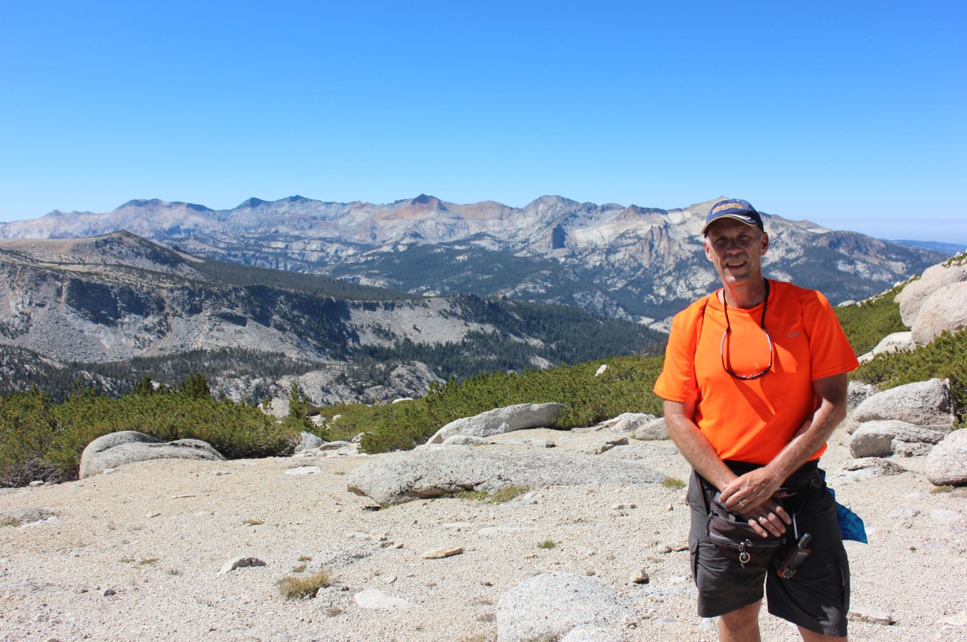
At the
saddle was a perfectly clear view of the Clark Range which stretches
off to the south west. By the next day this view was obscured
by
a fire which just started in Kings Canyon NP. |
 |
|
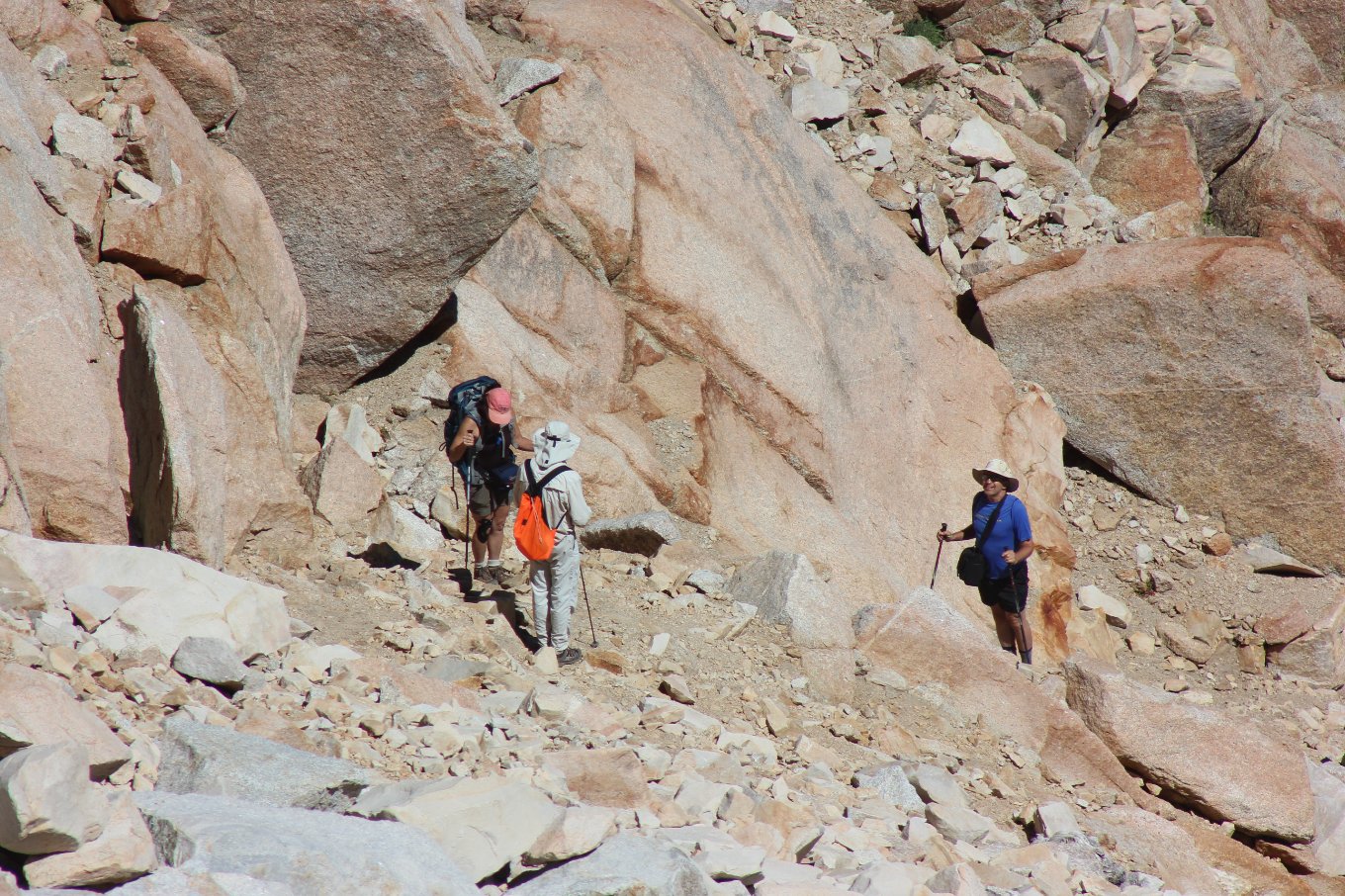
Others in the group making
their way up the draw, as far to the right side along the way as
possible. |
 |
|
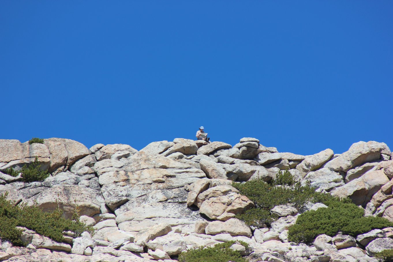
Starting up the last part of
the ridgeline toward the top we spotted another person already enjoying
the views from the peak. |
 |
|
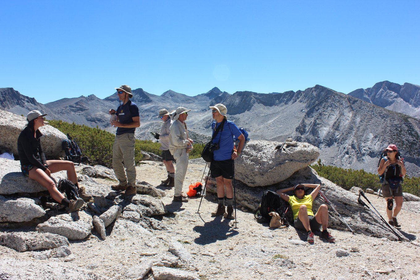
Our group
paused for a moment at the saddle to enjoy one last break (and the
views) before heading up the last part to the top of Vogelsang Peak. |
 |
|
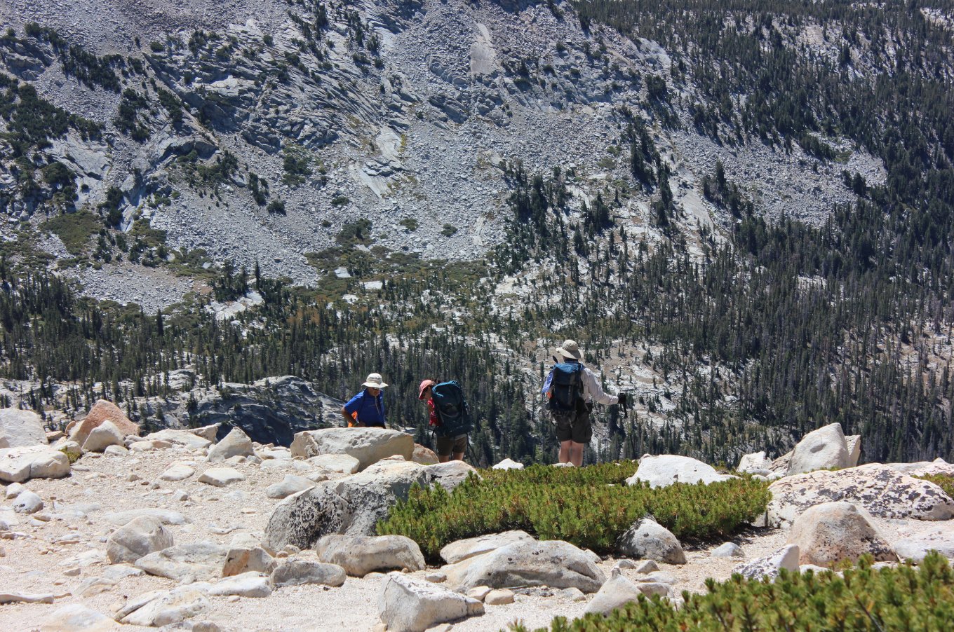
A few members of our group
took some extra time to really soak in the amazing location. |
 |
|
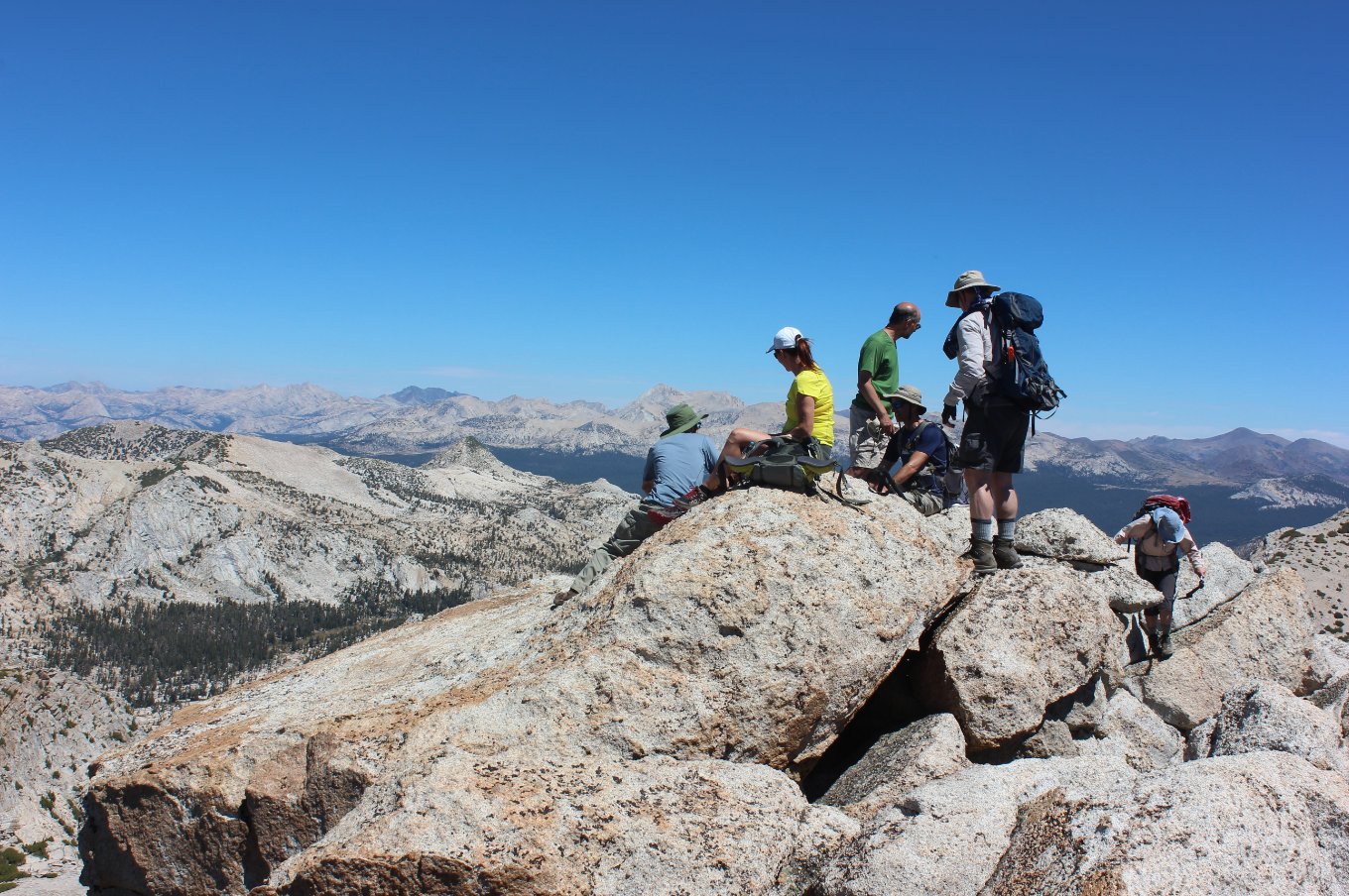
Finally at the top, our group
got to enjoy pretty phenominal views in all directions. |
 |
|
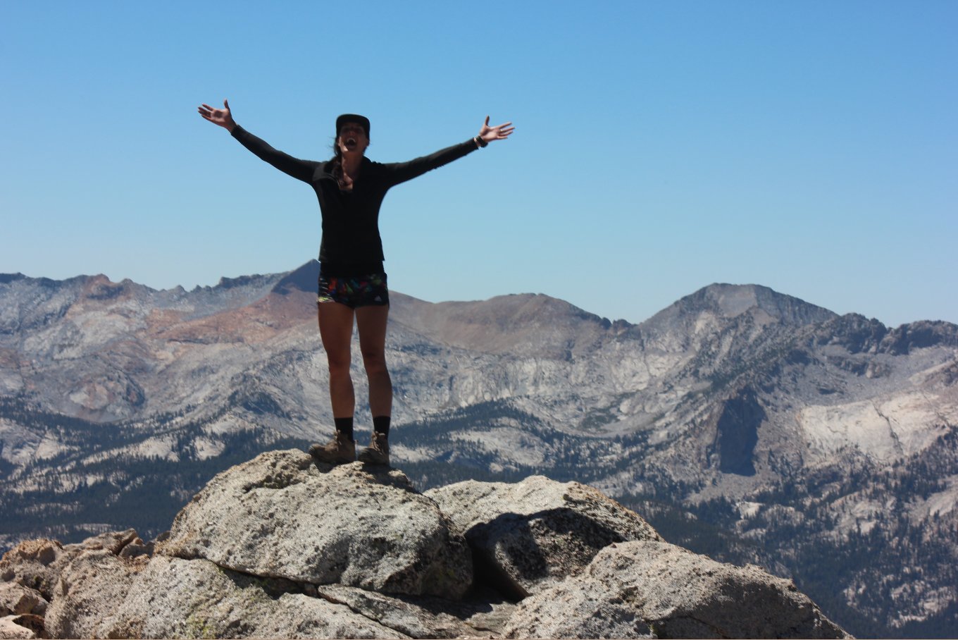
Our friend Maddie, from
Australia, just couldn't contain her enthusiasm for the location and
beauty at the top of the mountain. |
 |
|
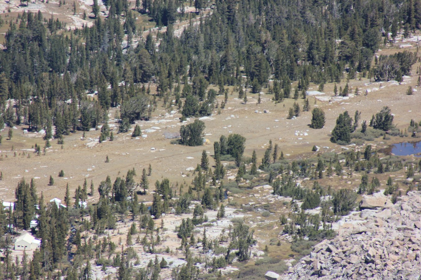
This is an interesting
telephoto shot from the peak showing our campsite far below, just to
the left of the lake. |
 |
|
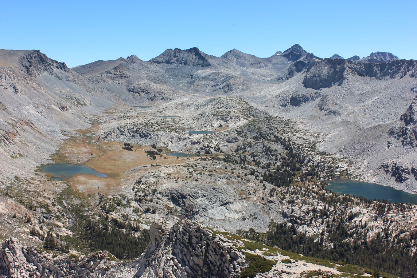
A
look south from the peak to nearby Mt. Lyell, the tallest mountain in
the entire park. There are no less than six visible lakes in
this
one amazing view. |
 |
|
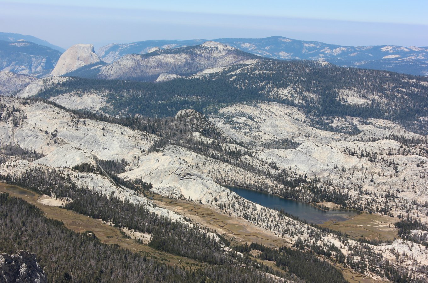
Looking
west from the peak shows Emeric Lake in the foreground, a long ago
location for the Vogelsang High Sierra Camp, as well as iconic Half
Dome and even El Capitan visible far in the distance on the left side. |
 |
|
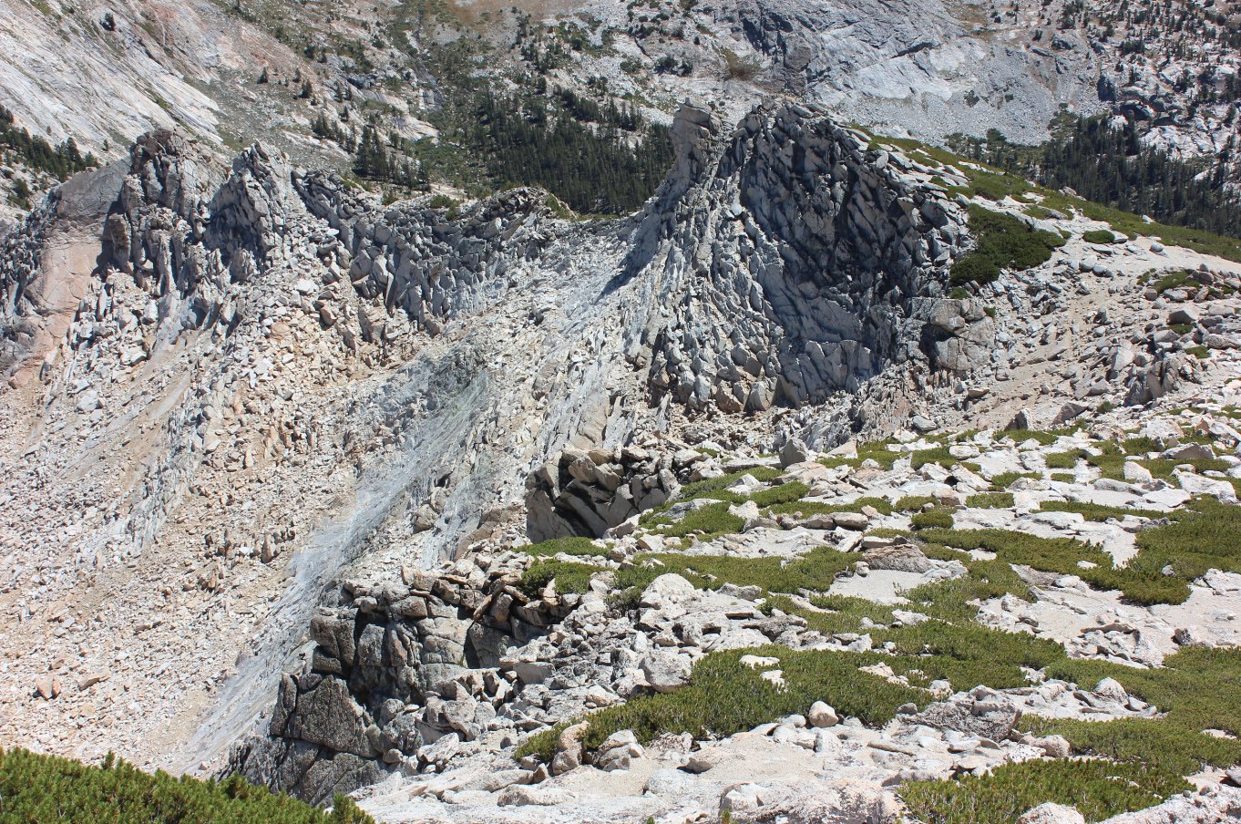
Looking
east from the peak, this shows the draw that was climbed on the way up
as well as the saddle on the upper right side where we had our last
break before the final ascent. |
 |
|
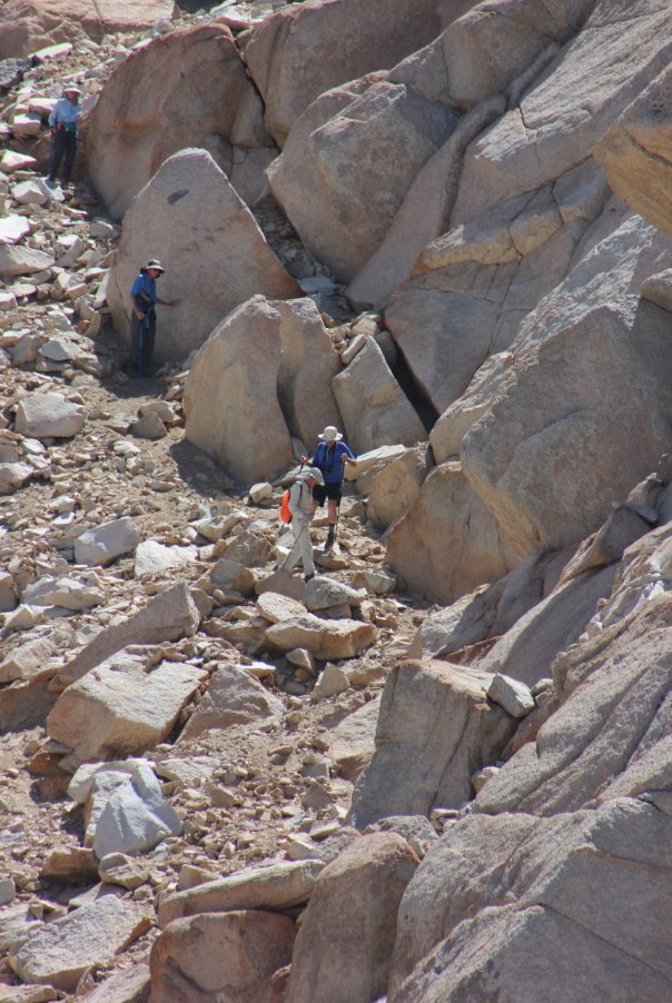
Members
of our group making their way carefully back down the draw, as well as
a couple others not in our group who decided not to continue on to the
peak. |
 |
|
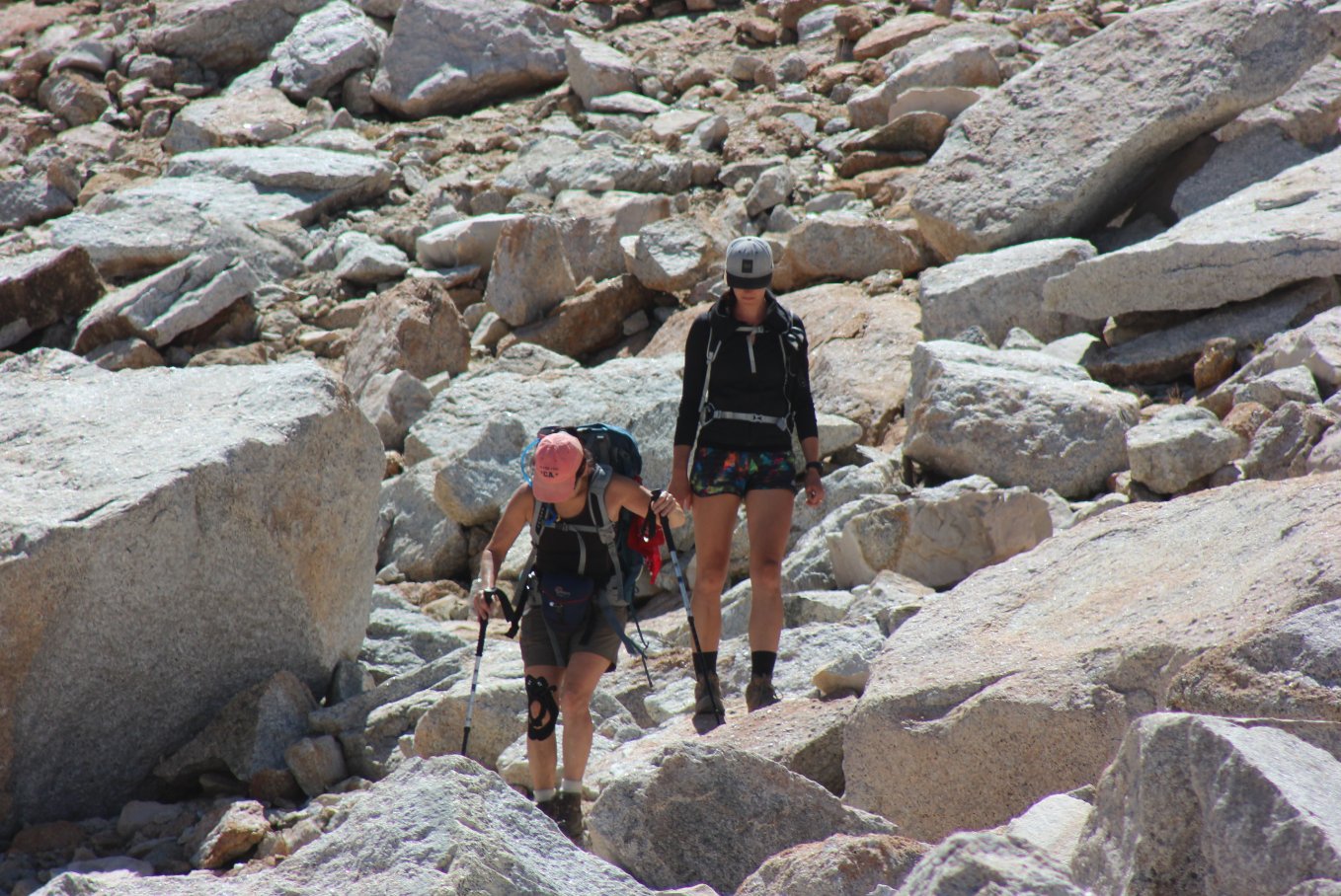
Gail and Maddie picking their
way carefully through some of these car-sized rocks. |
 |
|
GPS Track of the full hike. |
 |


 GPX for
this trip

