|
|
Virginia
Lakes Hike
|
|
Trip Date: 06/26/2018
Distance: 7.0 Miles
Vertical Gain:
1500'
Group Size:
1
Hike Rating:
Easy
Moderate
Hard
Strenuous |
 See
video of hike
See
video of hike
 GPX for
this trip
GPX for
this trip
|
|
|
Start Coordinates: |
N 38 02.880, W 119 15.770 |
|
End Coordinates: |
Same as Start Coordinates
|
| Car Shuttle
Req'd: |
No |
|
Parking
Directions: |
From Highway 395 drive to the
top of Conway Summit, just a few miles north of Mono Lake and take the
Virginia Lakes Road west for 6 miles until you reach the paved
trailhead parking area. |
| Hazards of
Note: |
High elevation trailhead
begins at almost 10,000 feet. |
|
Crowd Factor: |
High. From the
beginning of the hike it will be crowded unless you can get there early
enough to beat most of the crowds on the way in. |
General Notes:
From
the trailhead parking
area head west toward the large wooden sign and the restrooms to find
the start of the trail to the Virginia Lakes. Stay right at
some
of the many junctions near the first lake, as most of these off-shoots
just head down to the lake. When you get to the Hoover
Wilderness sign against stay to the right, and you will begin passing a
series of lakes on your way deeper into the valley.
The
trail climbs along the north side of the lake through a large section
of shale, with two or three small water crossings along the way which
drop a couple hundred feet to eventually wind up in the lake.
Reaching the second lake requires a water crossing over a
number
of rocks. This will be Cooney Lake, another picturesque
destination along the way. The third lake, one of the Frog
Lakes
is quickly reached from this point, and is a reasonable turn-around
point to make this a slightly more than 4 mile trek that would be
considered moderate for the entire hike.
It is highly recommended to
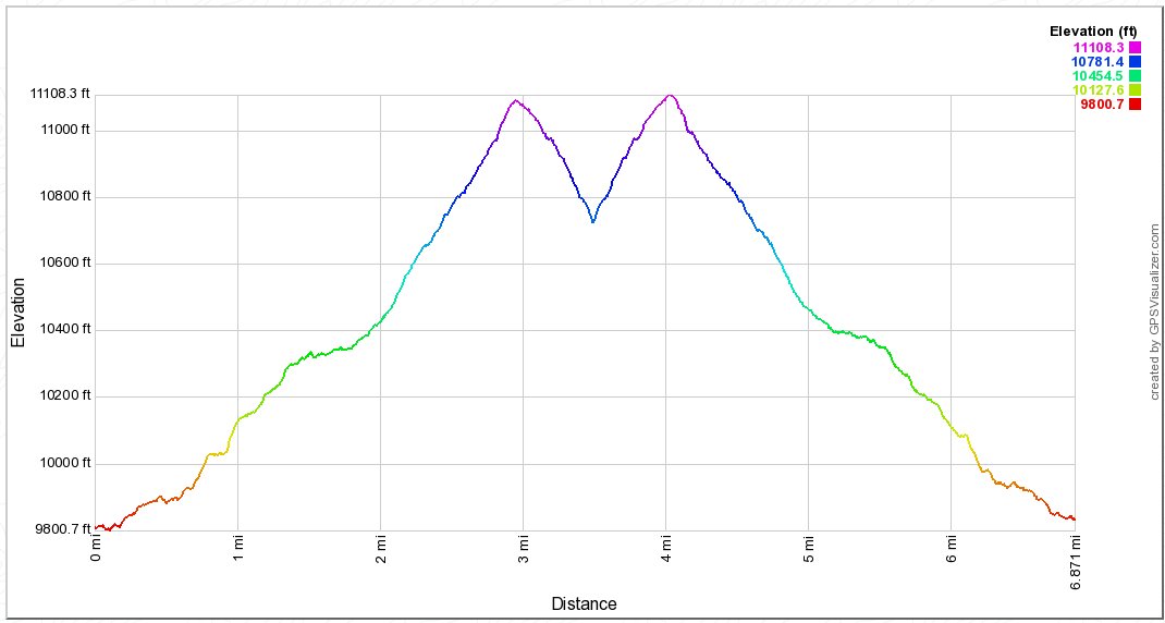
continue at least up to the ridgeline ahead, which is another mile and
a long climb up a series of switchbacks which top out at over 11,100
feet in elevation. The effort required to get to this point
is
well rewarded, with a spectacular view into Yosemite and Summit Lake
almost 1500 feet below. Continuing down another 1/2 mile will
get
you to a plateau area about 500 feet in elevation below the ridgeline,
with a bonus view up the Green Creek canyon to the northeast and even a
glimpse of the Hoover Lakes. Summit Lake is a worthy
destination
for a longer dayhike of about 9 1/2 miles out and back, but you will
have the long climb out of the valley to consider before partaking in
this trek. |
|
|
Even
before the trailhead is Lower Virginia Lake, which has a full-fledged
resort on the north side of the lake and on this Tuesday had at least
25 people fishing around the perimeter of the lake. |
 |
|
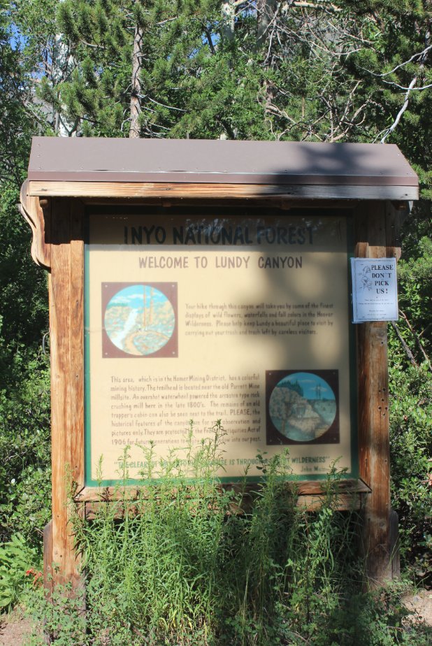
Trailhead
information on the Virginia Lakes trail area and the lakes which are
encountered along the first couple miles of trail.
|
 |
|
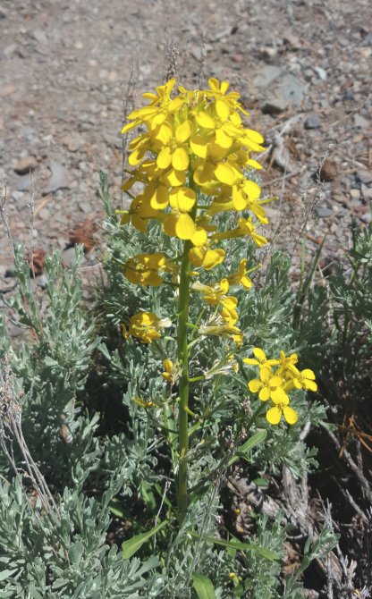
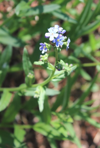
A fully blooming Wallflower
encountered early on the trail as well as some Alpine Forget-Me-Not. |
 |
|
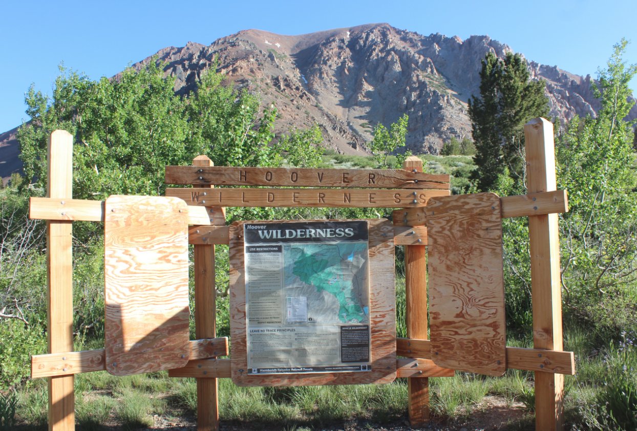
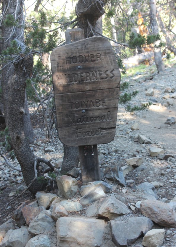
A weather-beaten signpost
indicating where the entrance into the Hoover Wilderness is just about
a quarter mile up the trail. |
 |
|
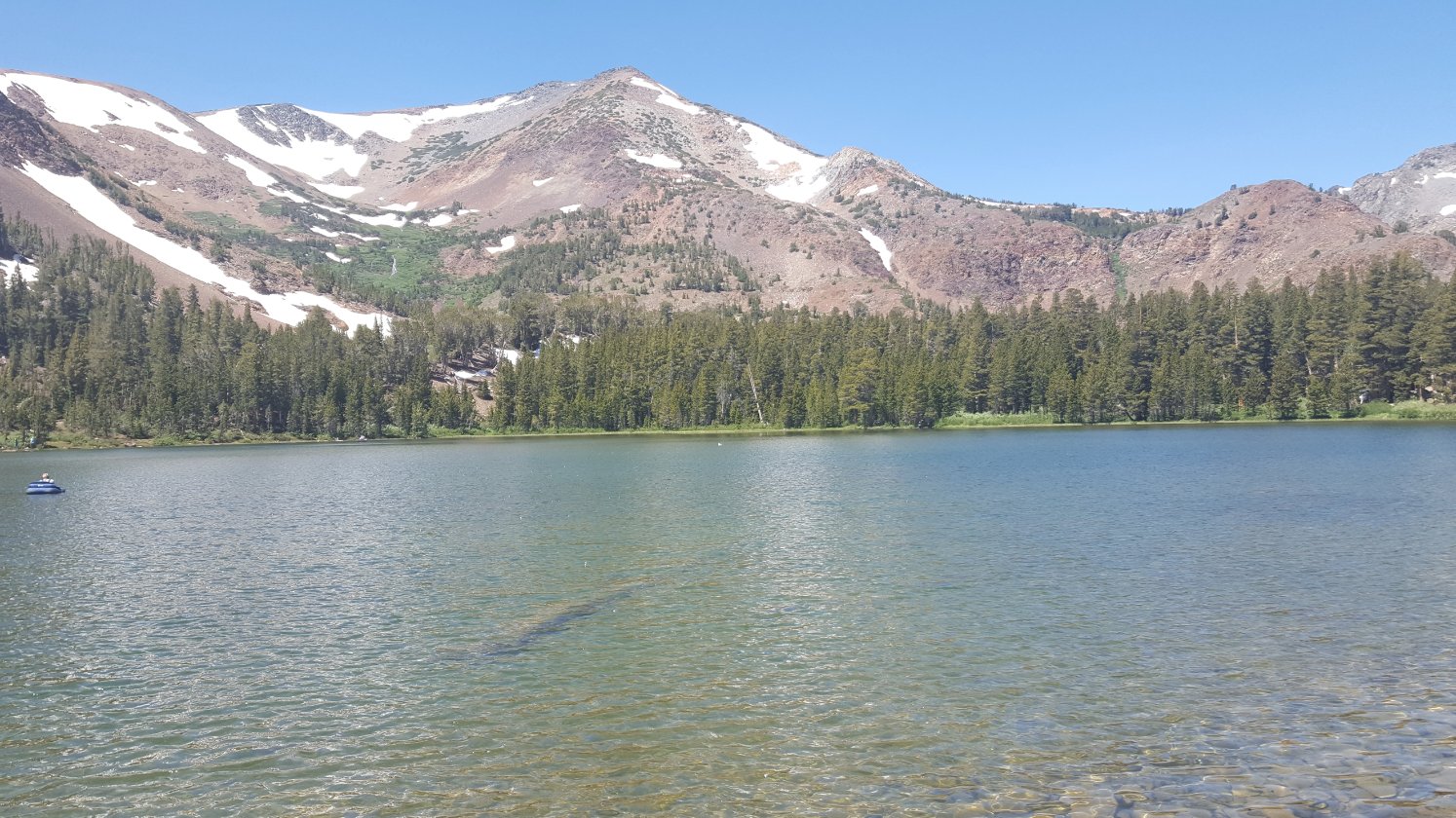
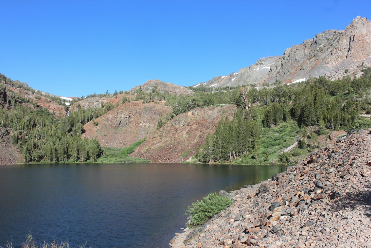
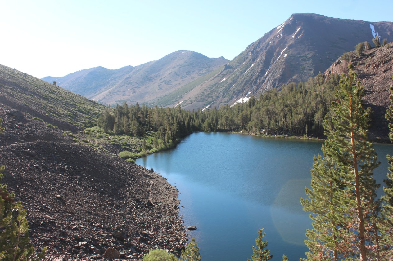
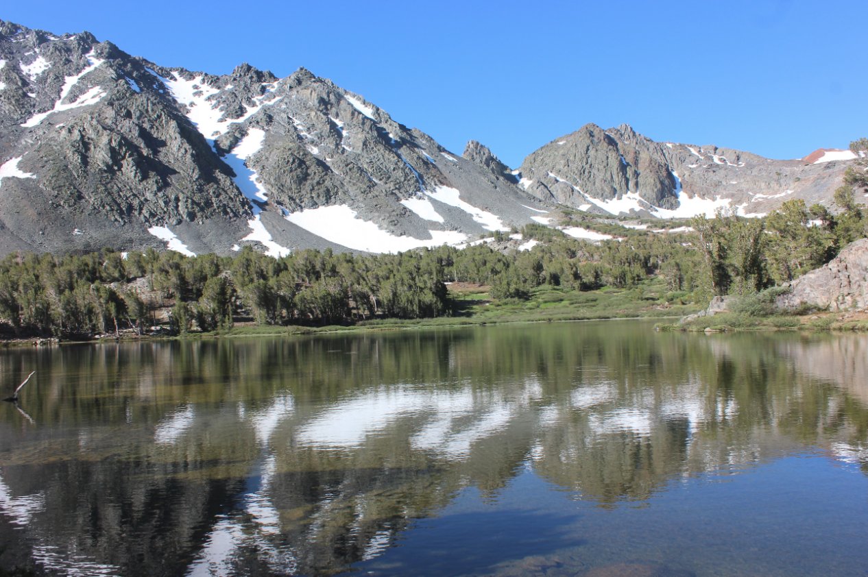
Blue Lake, the first of three
pristine lakes encountered along the trail once entering the Hoover
Wilderness. |
 |
|
Looking
back at Blue Lake after climbing along the tallus trail along the north
side of the lake. Further in the distance is the valley where
the
trail began about a mile back. |
 |
|
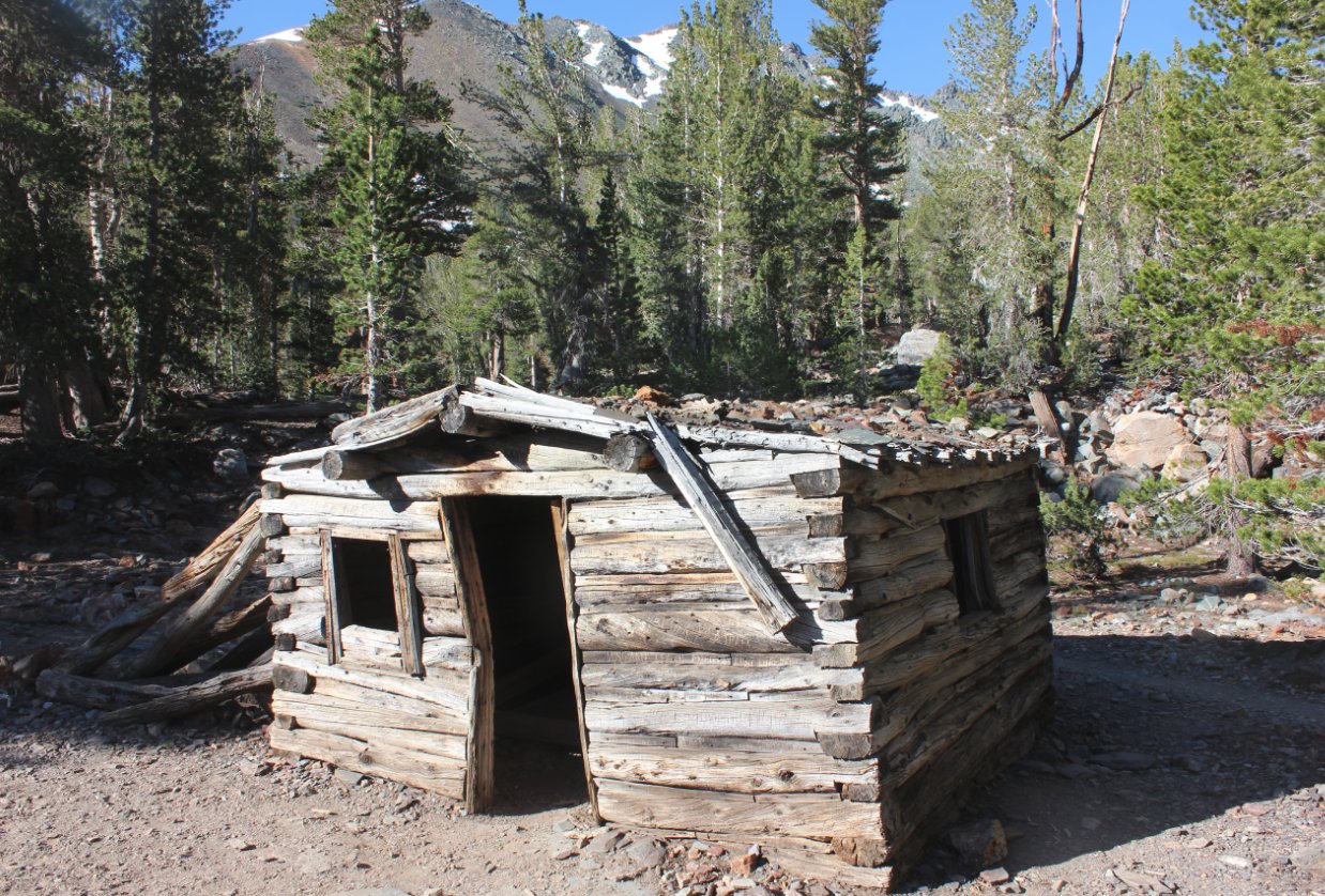
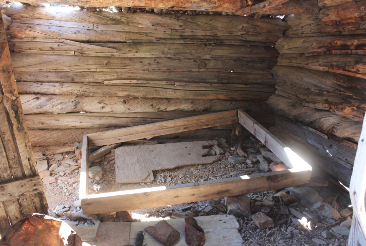
Reminant cabin from an old
miner dwelling which is still in remarkably good shape after so many
years. People have even placed some old items from the
settlement just inside of the cabin for safe-keeping.
|
  |
|
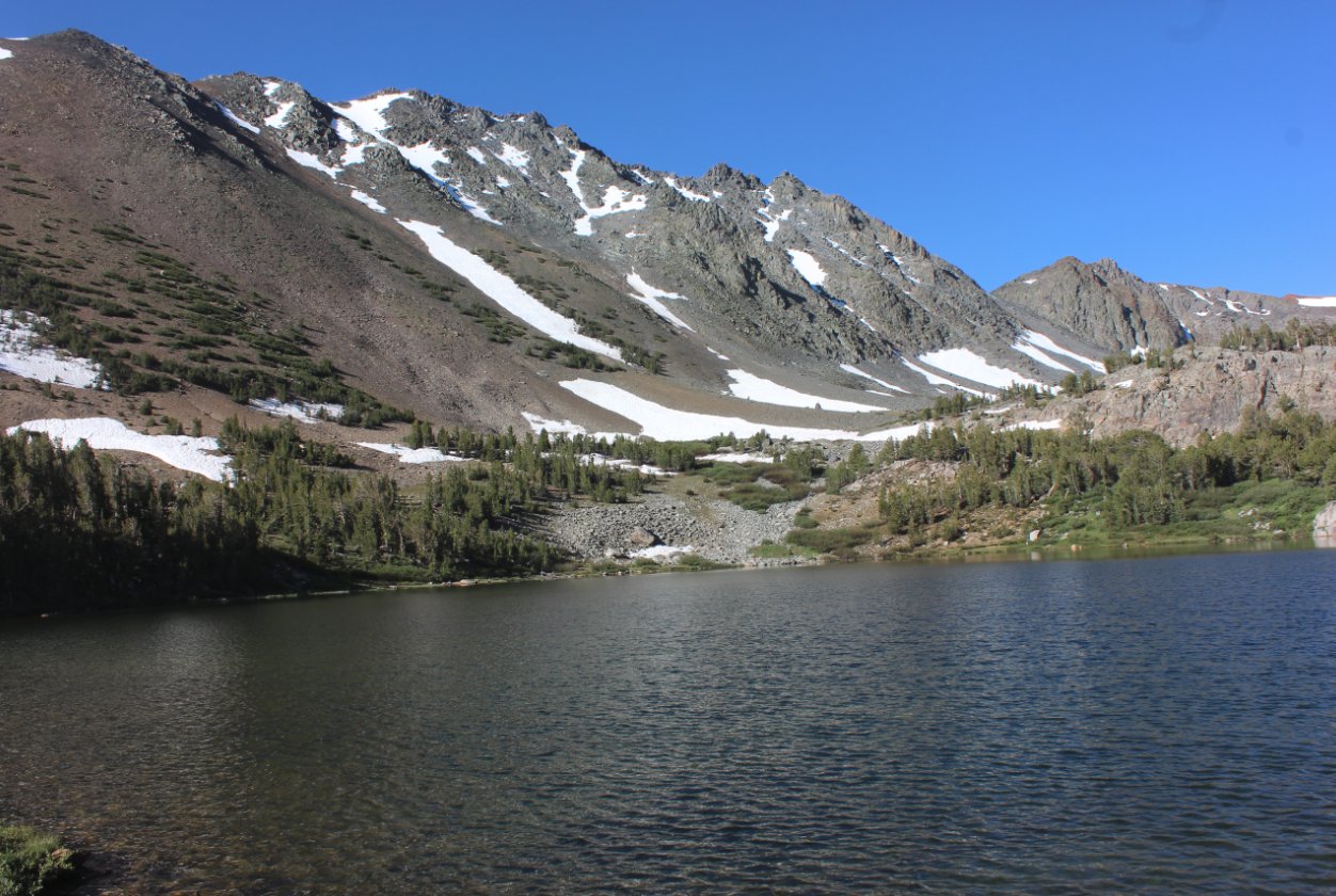
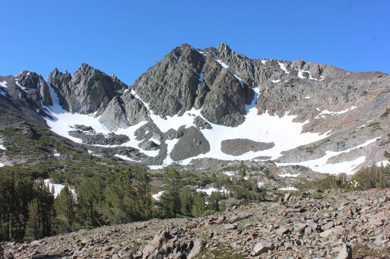
After another short climb
Cooney Lake makes an appearance with a fairly dramatic backdrop of the
rugged mountains in the area. |
 |
|
The third
lake, one of the Frog Lakes offers some nice camping sites on the far
side of the lake as well as a smaller lake beyond this one but out of
sight of the trail for those looking for a little more isolation from
the many visitors to the area. |
 |
|
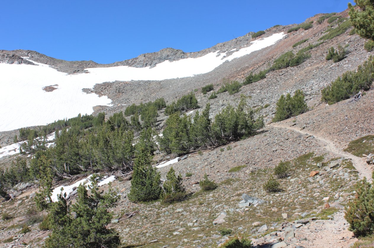
Past the last lake the area
gets much more rugged and a series of switchbacks will quickly add to
the elevation.
|
 |
|
Looking west the trail
continues to climb steadily, crossing over the crest in the distance at
an elevation of over 11,000 feet. |
 |
|
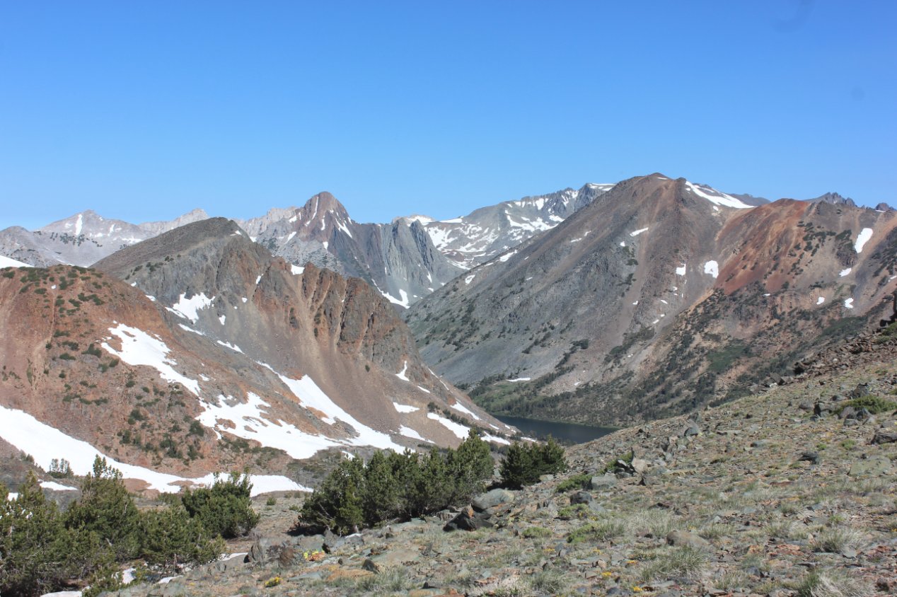
On the long climb there are
wonderful views back of the lakes passed along the trail to this spot
high above the valley. |
 |
|
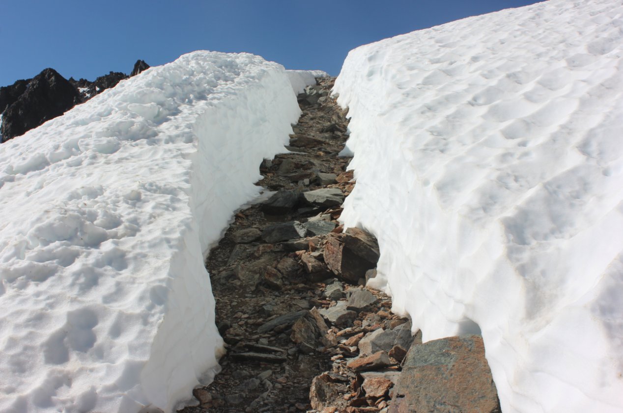
It was a
pleasant surprise to find that the pack trains through the area had
cleared a path through the icy snow at this elevation and micro-spikes
were not necessary to get past this point. |
 |
|
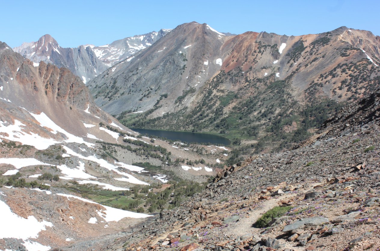
It is a
long climb up to the crest of the mountain above the Virginia Lakes,
but the views are incredibly worth the effort. Summit Lake is
far
below in the basin, about 1500 feet below this crest in the trail. |
 |
|
Heading a
little ways down the other side gives even better views of what lies
below. Just past Summit Lake is the boundary into Yosemite
National Park. |
 |
|
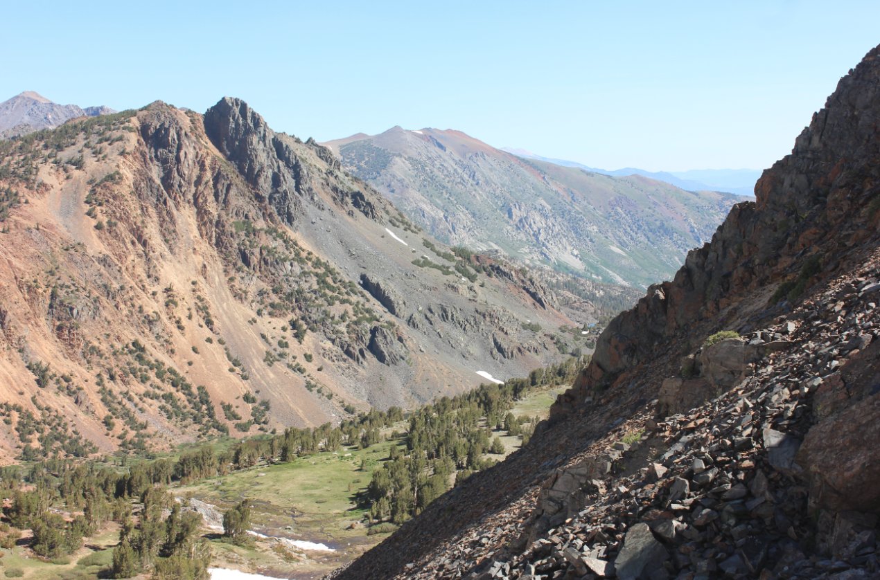
At this plateau (and
turn-around spot) there is a bonus view into the Green Creek valley,
where the Hoover Lakes can be found. |
 |
|
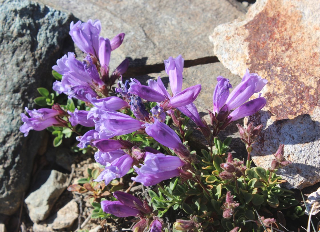
There was and abundance of
wildflowers on this side of the ridge, including these Pestemon and
Coville's Columbine. |
  |
|
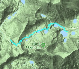
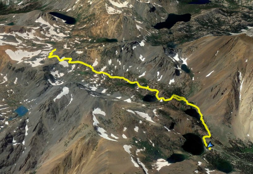
GPS Track of the full hike. |
 |