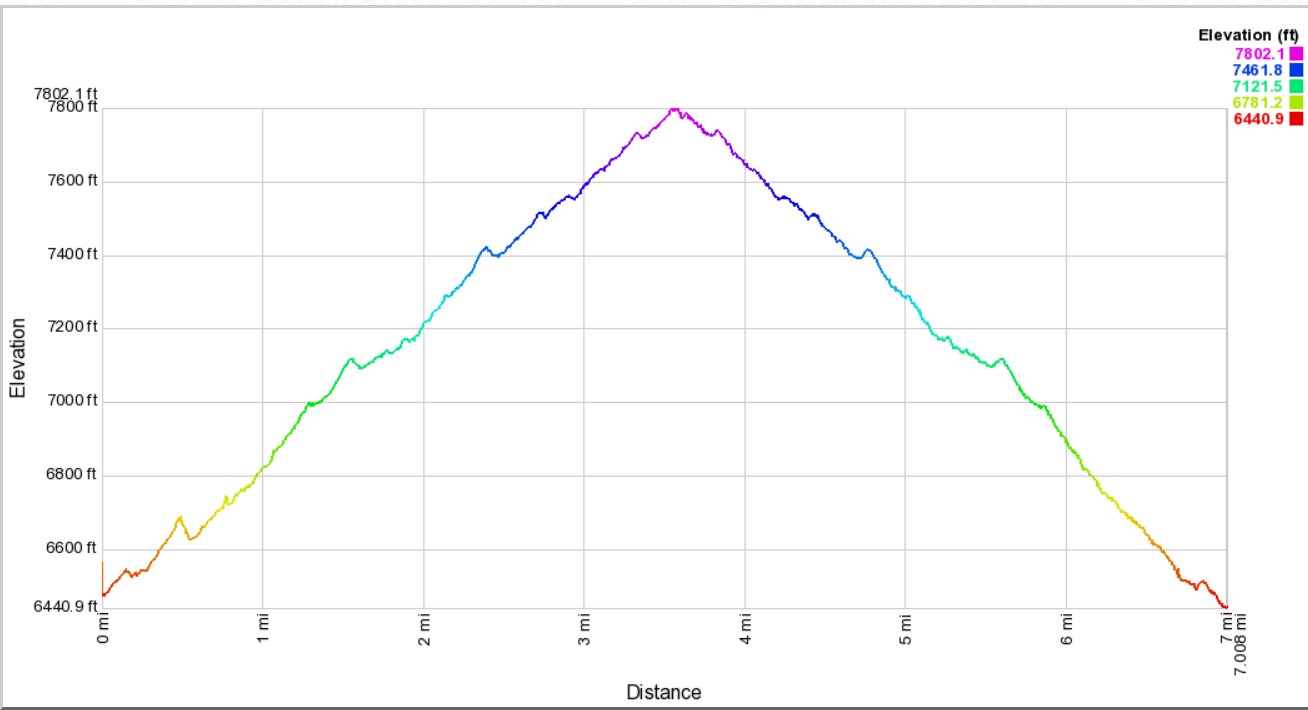
Distance: 7.0 Miles
Vertical Gain: 1400'
Group Size: 2
Hike Rating: Easy Moderate Hard Strenuous
 GPX
for
this trip
GPX
for
this trip
| Start Coordinates: | N 38 57.400' W 119 56.092' | End Coordinates: | Same as Start Coordinates | ||
| Car Shuttle Req'd: | No | Parking Directions: | Take Highway 50 toward South Lake Tahoe. Turn onto Pioneer Trail, and then turn right onto Highway 50 where Pioneer Trail ends. Turn right on Heavenly Village way, continue past the commercial centers on either side and then head into the park to the parking coordinates. | ||
| Hazards of Note: | Late afternoon thunder storms in the summers. | Crowd Factor: | Moderate to High. This is a popular area for mountain biking and local dog walkers. | ||
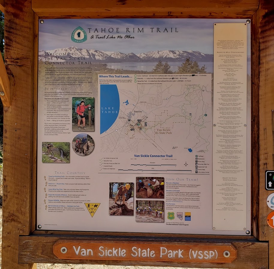
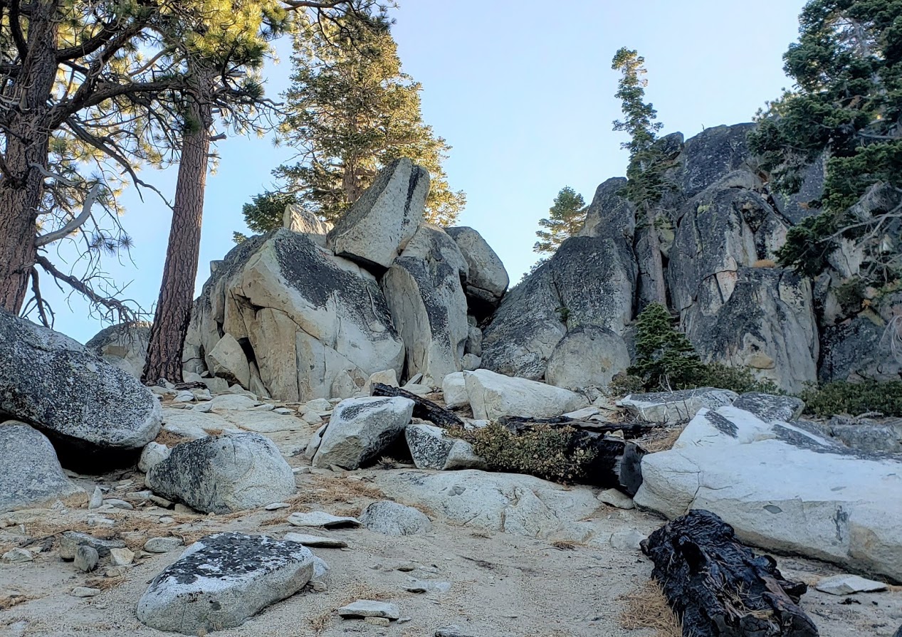
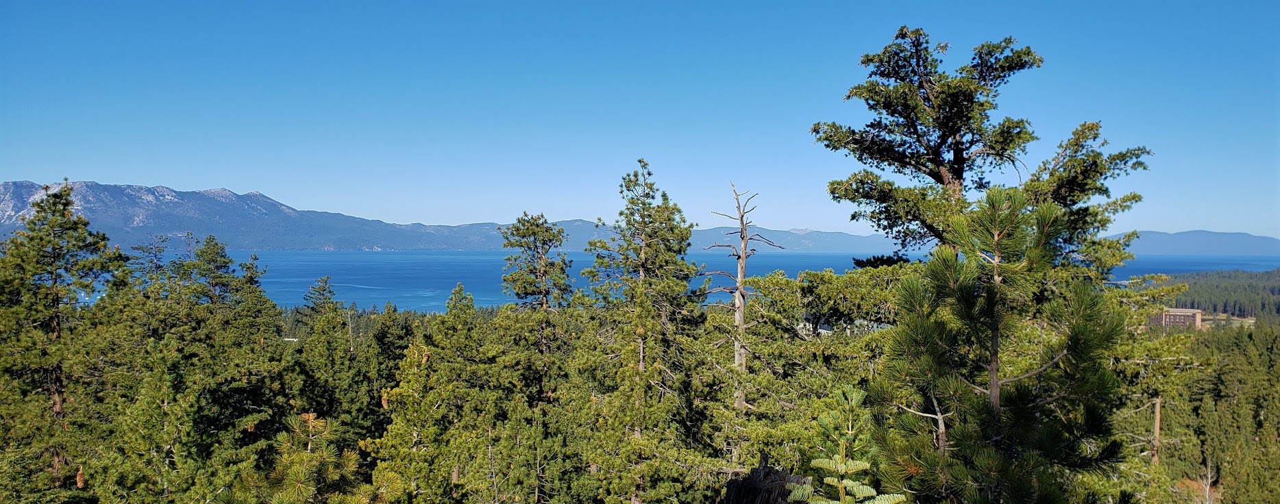
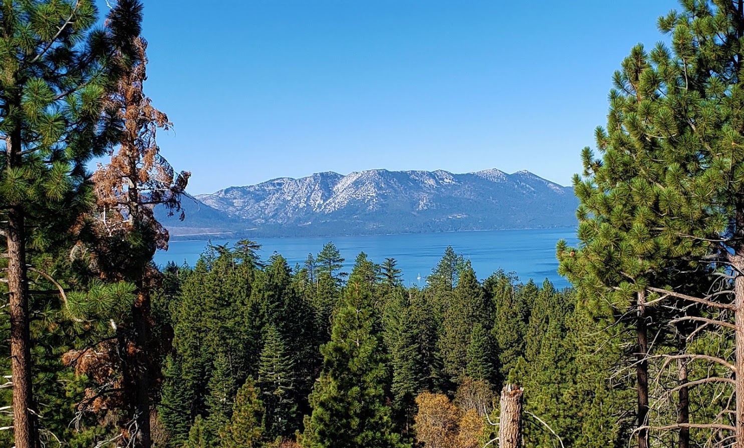
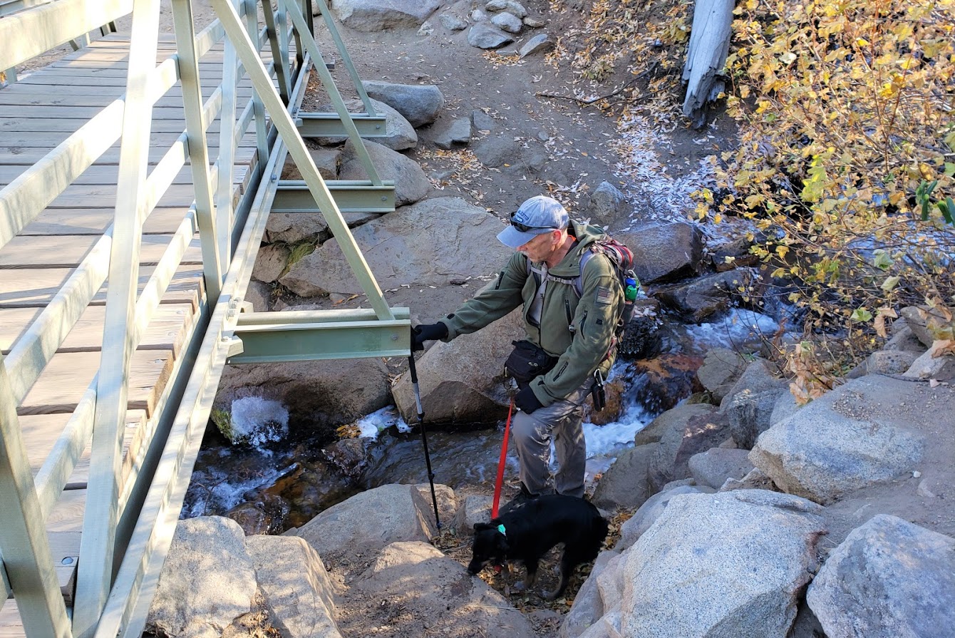
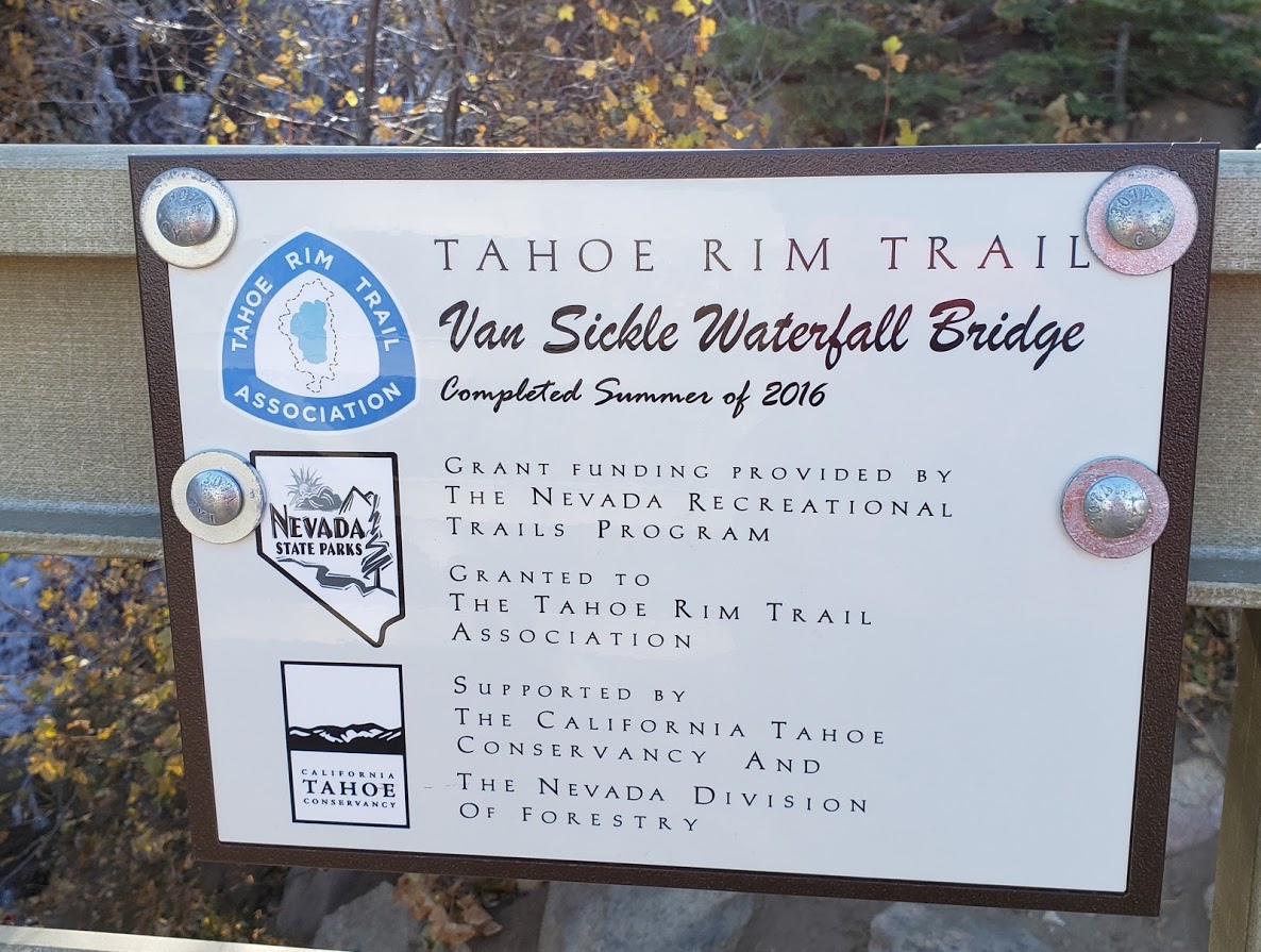
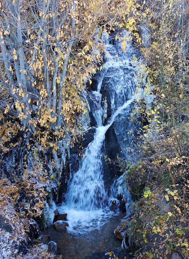
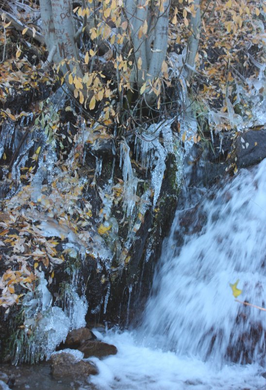
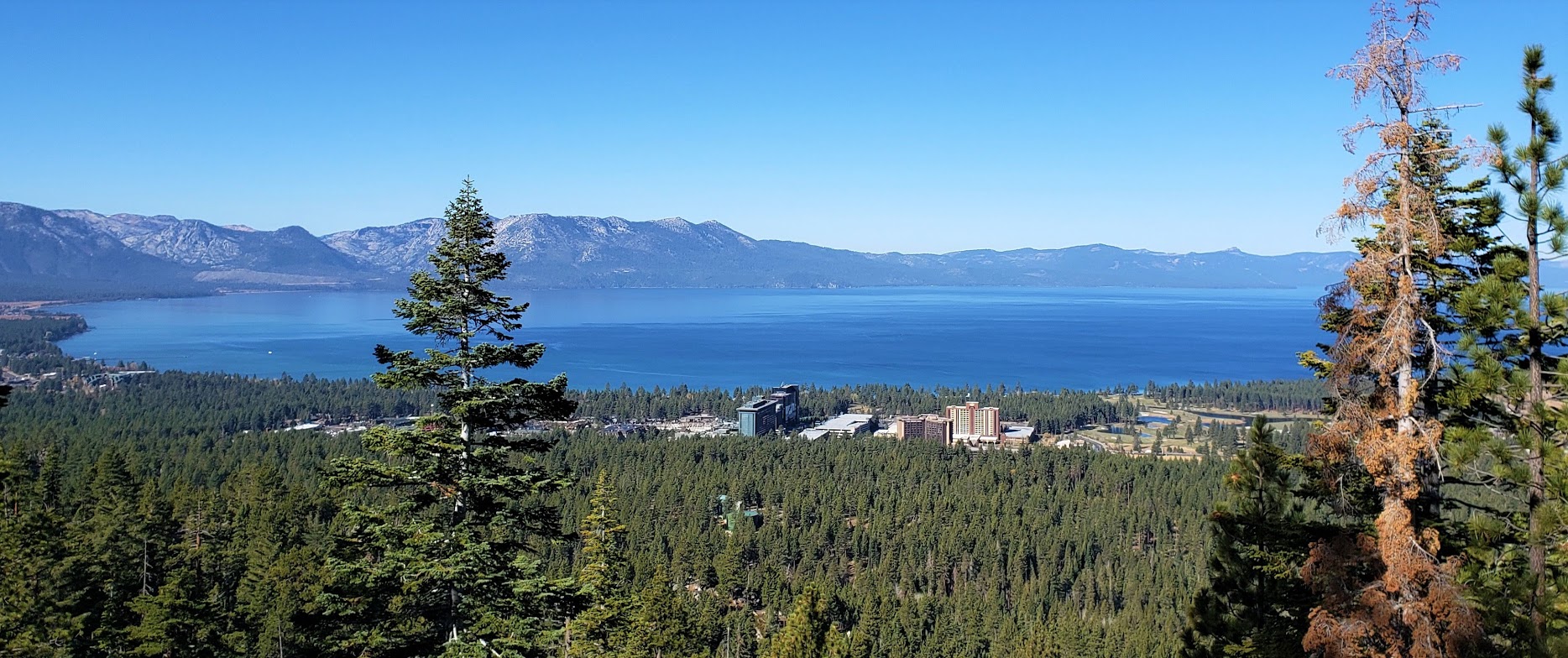
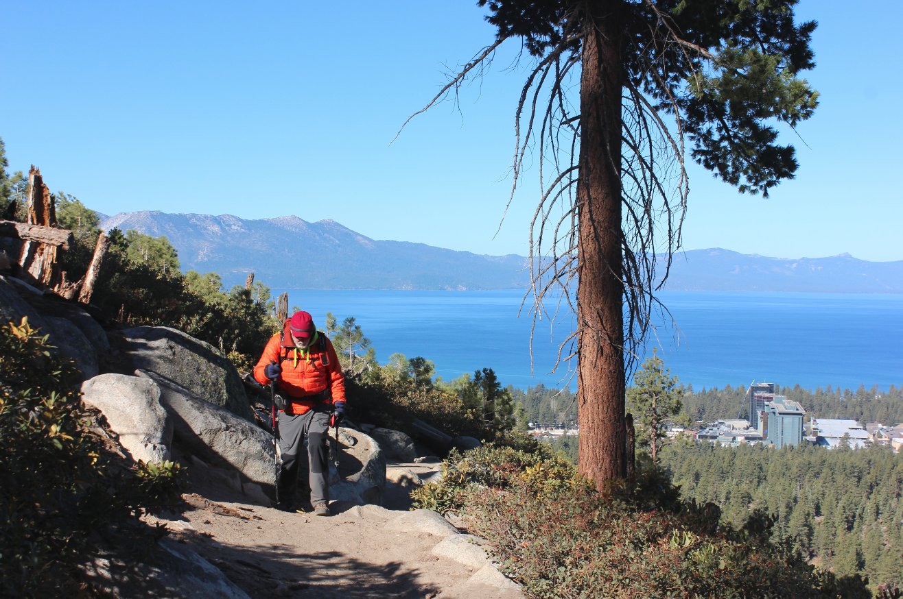
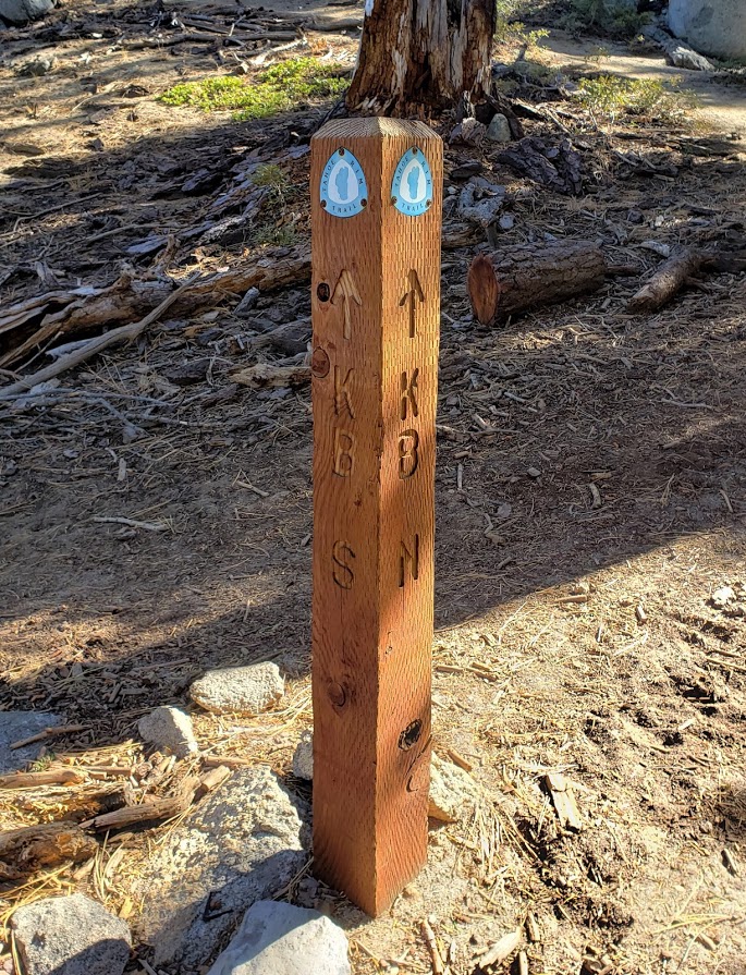
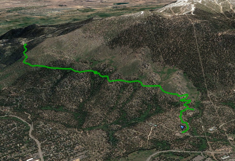
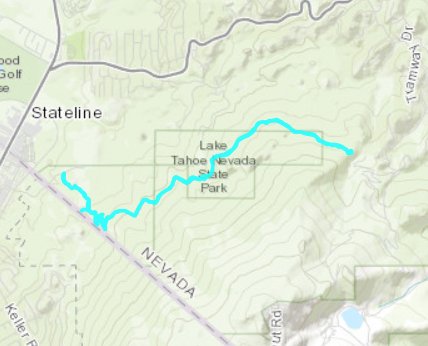
| General Notes: From the parking area head toward the Van Sickle State Park kiosk with information about this being a Tahoe Rim Trail connector trail. The first section of the trail is very tame with just slight elevation gain, but be sure to look for the wooden posts indicating the continuation of the trail as there are many other use trails which head off in various directions at this early part of the trail. Follow the trail markers which head toward the waterfall, found about 2 miles up the trail. There are a couple of good loop trails which head off to the right as you head up to the Tahoe Rim Trail, but for this specific route stay to the left at each of these junctions to continue on up the connector trail. Along the first mile and a half are great views back toward the South Shore and Lake Tahoe beyond, so be sure to stop and look back to capture some of these amazing vistas. You will also have these views on the way back as well. The last couple miles see the trail head into the forest for the most part, although there are views to the north of the Kingsbury Grade area as you head up toward the Tahoe Rim Trail along with the some of the homes on the north side of the Kingsbury Highway built right onto the rocks. As you reach the actual Tahoe Rim Trail, you can choose to continue either right or left, or just find a sunny location on the small hill in front of you to stop and enjoy the environment for awhile before heading back down the way you came. |
|||||