Back to index Upper Forni Hike
Trip Date:  08/03/2018

Distance
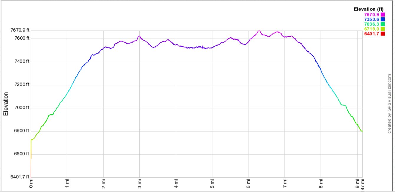
: 9 Miles

Vertical Gain: 1200'

Group Size: 5
Hike Rating:  Easy   Moderate   Hard   Strenuous
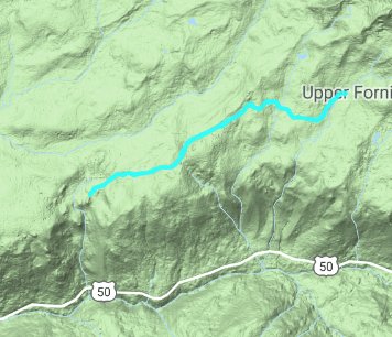
Upper Forni Hike
  Download GPXGPX for this trip
Upper Forni Elevation Profile
Start Coordinates:   N 38 48.144, W 120 14.164     End Coordinates:   Same as Start Coordinates  
Car Shuttle Req'd:   No Parking Directions:   Take Highway 50 to Wrights Road.  Drive north for about 3 miles, until you reach the coordinates area on your right.  You can actually drive about 1/4 mile in on the dirt road at this location for a closer parking spot off the main road.
Hazards of Note:   Deep snow and lack of trail. Crowd Factor:   Moderate.  This area just opened in 2018 after being private land for years, and the interest factor in a new area is relatively high.
General Notes:
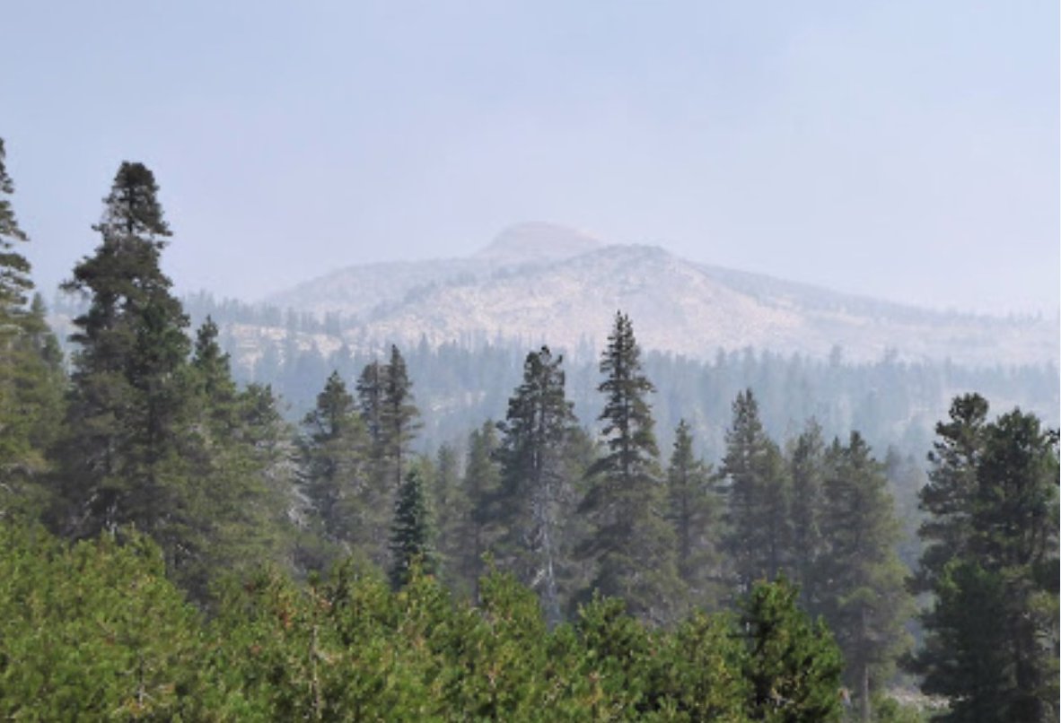
Once at the parking area, head east along the dirt road.  You will spend most of the trek hiking along a dirt road, which has a number of turnoffs on either side which you will want to ignore unless you have a lot of extra time.  The road heads mostly uphill, at a gradual but constant pace.  Off to the left (north) there can be pretty phenominal views toward Pyramid Peak and the rest of the Crystal Range mountains nearby.  
When you reach the end of the hike at Forni Meadows, take time to explore the historic buildings left behind from the Forni family who were early settlers in the area.

This "trail" is mostly along an old dirt access road into the Forni Ranch, but there are some older gates along the way to keep out any vehicles but the forest service and some research teams from UC campuses. Early look along the trail
Probably some research equipment along the way, given one of the locks on the gate in was tagged as being from UC Merced Research.
Research equipment
A close look allowed us to discover an old roadbed paralleling the dirt walk the trail follows. Old road
This day was exceptionally smoky from the California fires but we still had a glimpse of Pyramid Peak to the Northeast of our trail. Smoky view of Pyramid
After about 4 miles Forni Meadows and our destination come into view.
Approaching Forni Meadow
The setting of the old ranch is pretty spectacular, even in the haze of the smoke from summer 2018's horrific wildfire season.  
Setting of the old ranch
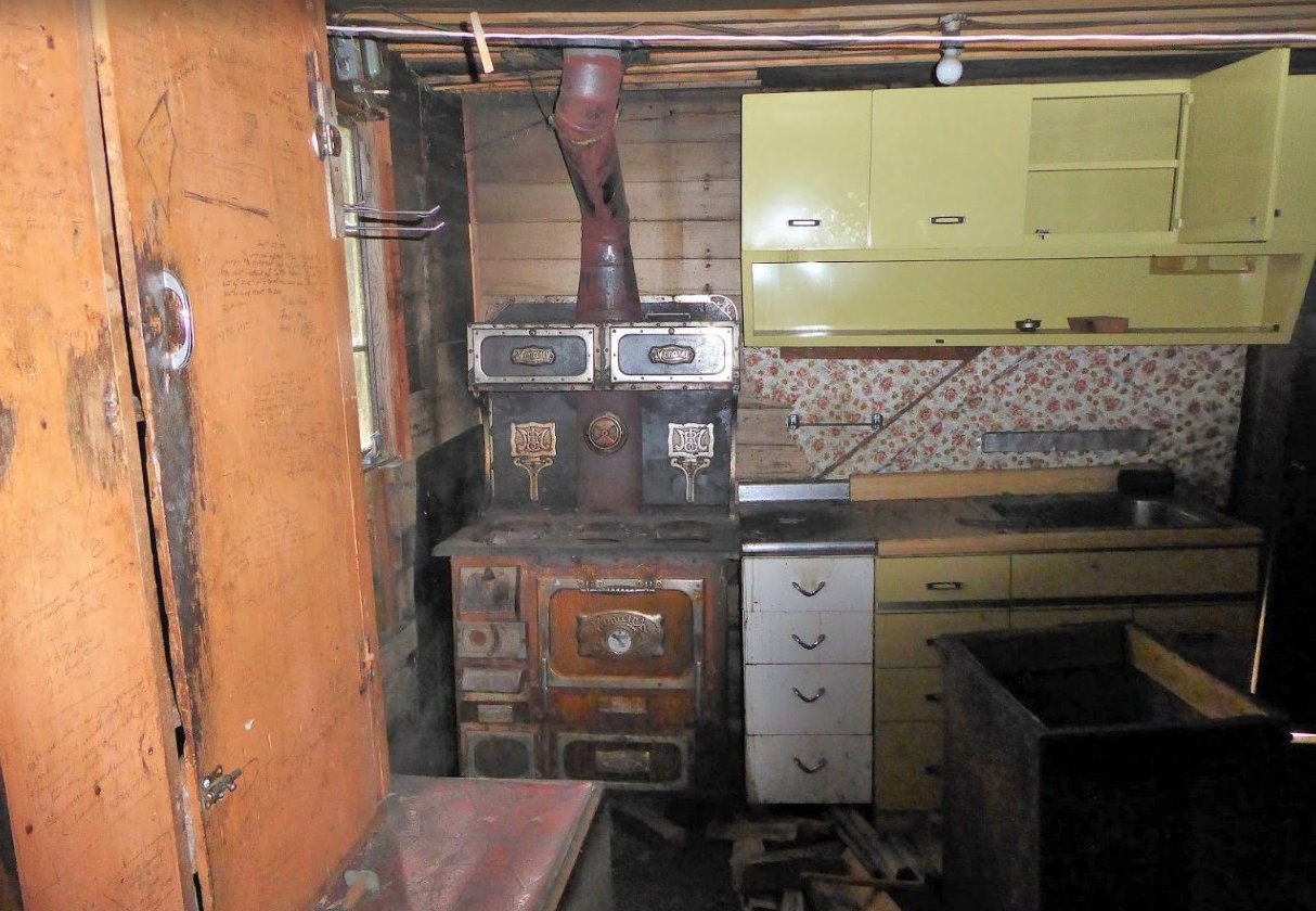
A look inside the kitchen of the old farmhouse.
Inside
Exploring around the old buildings at the ranch site.
Another view
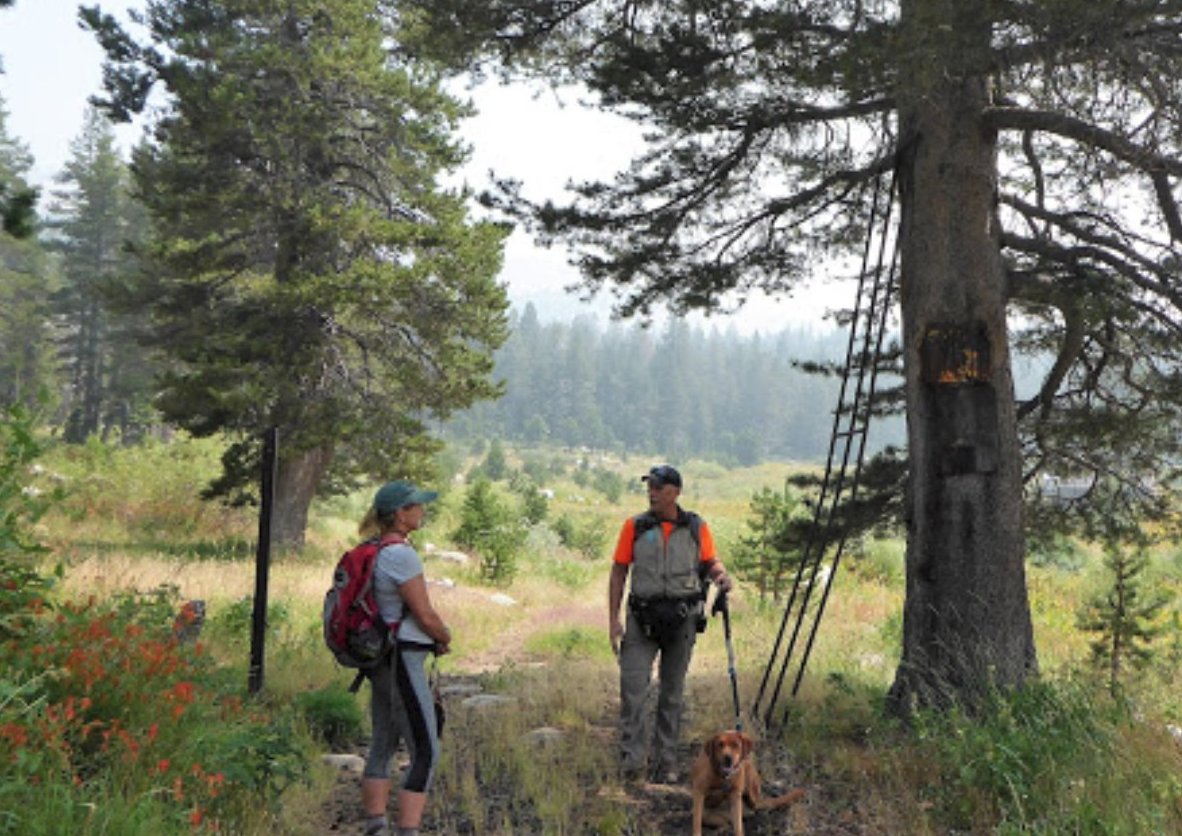
Getting the chance to meet up with a group of local hikers on this only weeks-old open trail.
Meeting up with others
Some of the many flowers, including this Penstemon along the trail providing spectacular colors all around.
Wildflower display
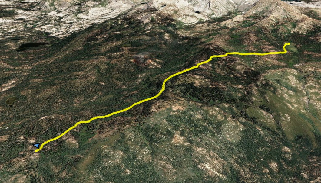
GPS Track of the full hike.   GPS Track of Hike