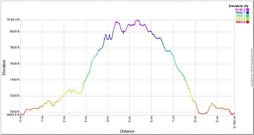
Distance: 9.8 Miles
Vertical Gain: 2100'
Group Size: 3
Hike Rating: Easy Moderate Hard Strenuous

 GPX for
this trip

| Start Coordinates: | N 38 50.855, W 120 14.375 or overflow parking at N 38 50.542, W 120 14.120 |
End Coordinates: | Same as Start Coordinates | ||
| Car Shuttle Req'd: | No | Parking Directions: | Take
Highway 50 to Wrights Lake Road, and head approximately 8 miles north
until you get to the entrance to the Wrights Lake recreation area (if
this gate is closed you have to park just to the right before this spot
and add a mile to the hike from this location each way.) Go
straight past the gate and follow the signs to the Rockbound Trail
parking area. Note: as of 2020 there appears to be a parking fee soon to be charged for parking at any of the Wrights Lake lots. |
||
| Hazards of Note: | The trail is rocky along the first part, and there might be some early season trail finding along the granite before the main rise in the trail toward the lakes. | Crowd Factor: | Rockbound
and Tyler Lake Trails: Moderate. These are
moderately-travelled trails and you will meet serious backpackers
heading into the heart of Desolation Wilderness on these trails for the
most part. Island/Twin Lakes Trail: Moderate to High. There are many people who access this trail into Desolation, and you will undoubtedly run into many groups along the way, even on non-weekend dates. |
||
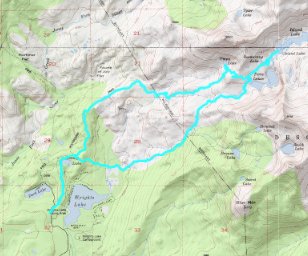
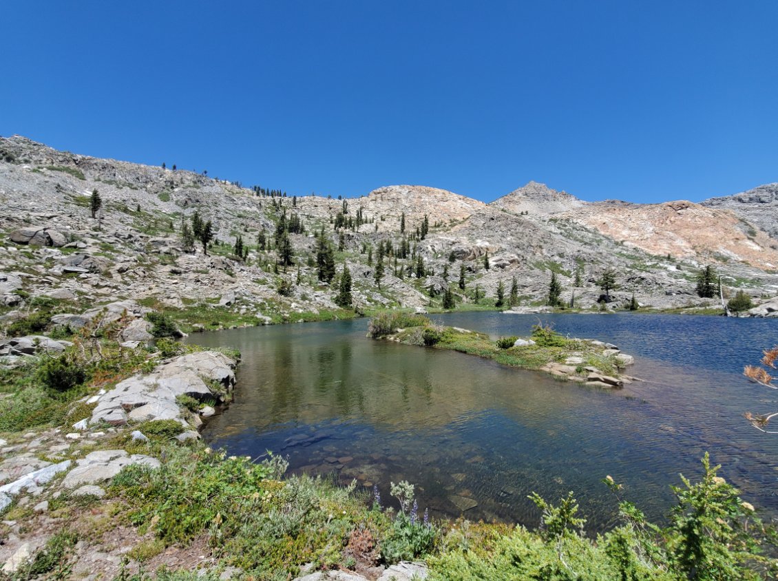
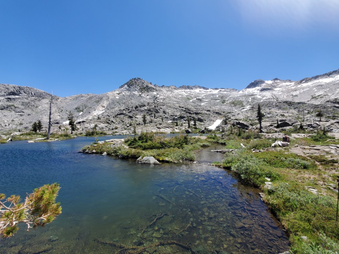
| General Notes: The first part of this hike takes you to a Wilderness kiosk which has lots of information regarding the trails in the area and should have a place to register for a day use permit for groups of 12 or less heading into Desolation Wilderness. You will follow the Rockbound trail for the first couple of miles, and then turn right at the junction to Tyler Lake. Less than 1/2 a mile up this trail you will see a use trail heading off to the south (right,) and you will want to follow this and navigate toward Enchanted Falls another 1/4 mile to the southeast. The falls are distinctive and worth a visit. After this you will need to climb up onto the higher rocks east of the falls, not necessarily having to cross the creek but there will be a good scramble to get up what will be anywhere from 50' to 100' of granite boulders. Once at the top you will head almost due east, keeping the creek to your right. Head toward the tallest rocky peak ahead of you, where Umpa Lake lies below in a bit of a granite bowl. You will have to do some careful scrambling up to the lake, but the effort is well worth it and you should have the pretty little lake to yourself. From here head up the draw that forms the inlet to the lake to the southeast, and once to get to the high point you will see Twin Lakes below you further to the Southeast. Navigate toward the lake over mostly open granite and eventually you will find your way down to the Twin Lakes/Island Lake trail alon gthe north side of Twin Lakes. Once on this trail as you head due east, you will come upon Boomerang lake on your left, and then a small unnamed lake a little further on your right which has a local name of Shangri-la. You will see why when you get there. Continue up the trail toward Island Lake until after about 1/2 mile and you will reach the western edge of the very scenic Island Lake. Head back down past Twin Lakes and follow the Twin Lakes trail down to the junction near Wrights Lake that will take you right along the Twin Lakes connector trail. You can follow this all the way back to the Rockbound Pass trail where you will turn left and head back to the parking area. Since this is a hike into Desolation Wilderness, you will need a day permit (free at the trailhead) and the group size limit is 12. |
|||||


