
|
Twin
Peaks Hike
|
|
Trip Date: 09/16/2014
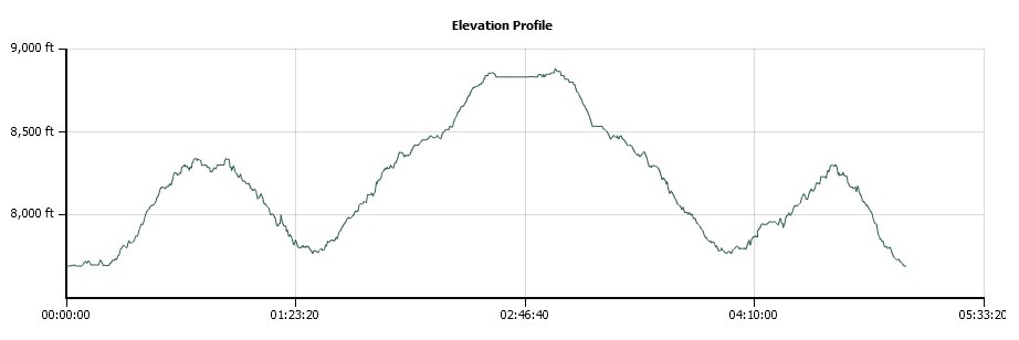
Distance: 12.0 Miles
Vertical Gain:
2530'
Group Size:
1
Hike Rating: Easy
Moderate
Hard
Strenuous |
 GPX for
this trip
|
|
|
Start Coordinates: |
N 39 04.629, W 120 14.096 |
|
End Coordinates: |
Same as starting coordinates |
| Car Shuttle
Req'd: |
No |
|
Parking
Directions: |
Take
Highway 89 to Barker Pass Road, which is just north of the town of
Tahoe Pines. Drive about 7.4 miles up Barker Pass road to the
parking area on the right for the Pacific Crest Trailhead.
The
last half mile or so is unpaved dirt road. |
| Hazards of
Note: |
Significant up and down, plus
a long section of switchback trail which has a lot of granite rock on
the pathway. |
|
Crowd Factor: |
Moderate.
This is a popular trailhead for both the Pacific Crest trail
heading north toward Donner Summit as well as for the section of the
Tahoe Rim Trail which ends about 16 miles beyond in Tahoe City. |
General Notes:
From the parking at the trailhead, the trailhead is clearly marked as
this is a prominent entry to both the Tahoe Rim Trail and the Pacific
Crest trail. For about the first mile you head through the
forest
around the west side of Barker Peak (attainable with a tangent trail
about a mile up the way) until you come out into some open views of
Lake Tahoe. There is a basalt formation on the east side of
the
trail which is worth checking out.
Further
along the trail it drops down slowly as you wind around a draw, and
then once you head north again you start to lose elevation pretty
rapidly. By the time you bottom out at nearly the elevation
you
started the hike from, you will cross a couple of natural springs along
the path and then 3 and a half miles into the hike you will start up a
long section of seven switchbacks which will consume over a mile and
get you headed back up to the elevation that you just left.
Once
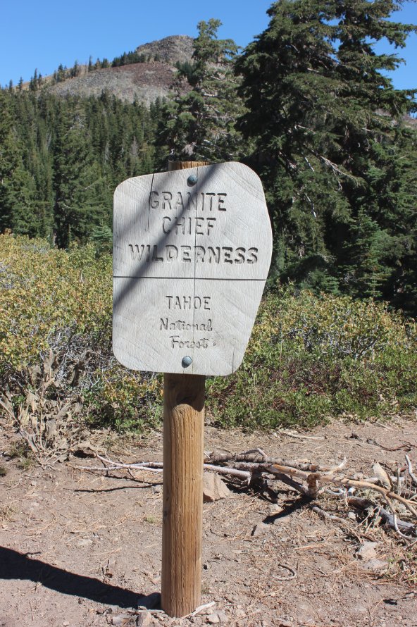
these are done you will continue to climb, finally reaching a sign for
Granite Chief wilderness about 4.5 miles from your starting point.
At the 5 mile mark you will head right at the junction
indicated, following the path of the Tahoe Rim Trail toward Tahoe City
for about 3/4 of a mile. At a spot marked with rock cairns
you
will head left and start your final ascent up to the top of Twin Peaks,
doing a lot of boulder climbing as you near the top.
|
|
|
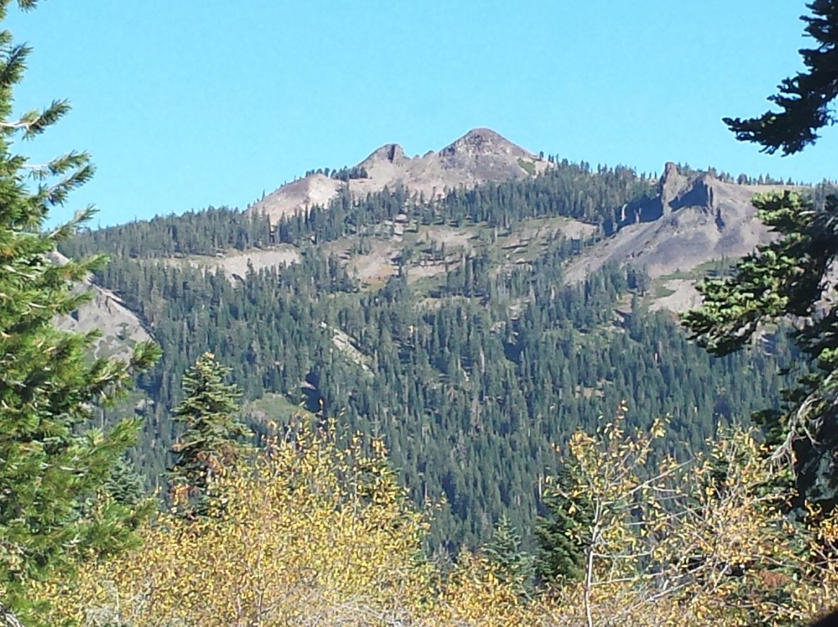
Looking
up from Barker Pass road toward the ultimate destination of Twin Peaks,
including the official summit on the taller peak on the right. |
 |
|
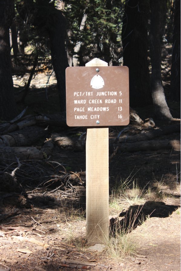
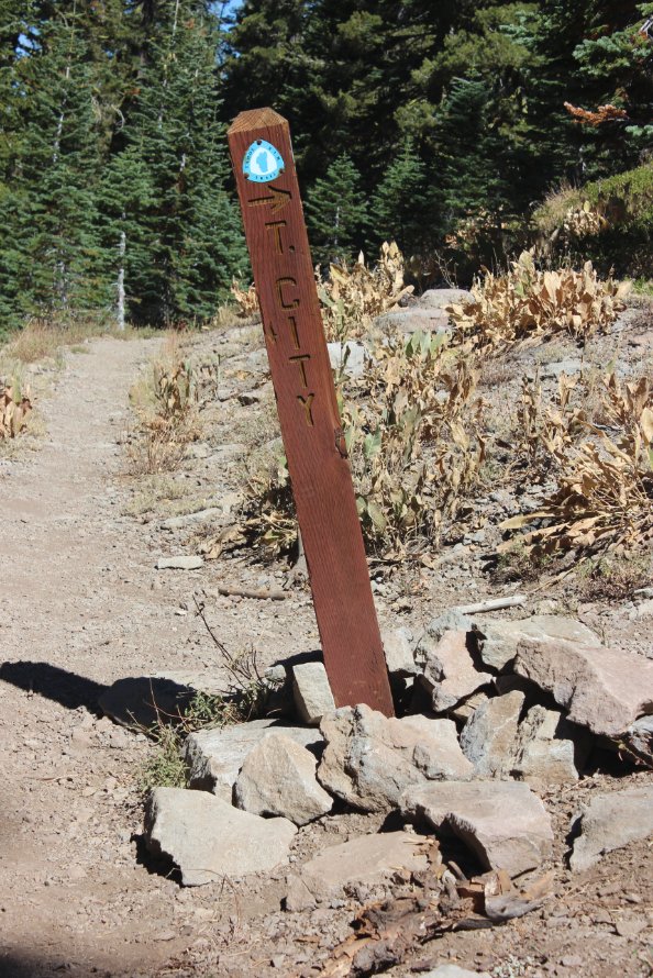
PCT and
Tahoe Rim Trailhead marker giving distances to various locations along
the way. The Twin Lakes peak is just under a mile further
than
the PCT/TRT trail junction. |
 |
|
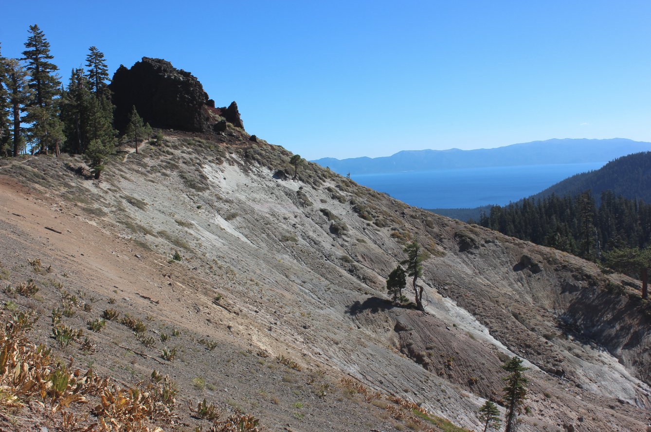
Even from early on during the
hike there are some nice views down toward Lake Tahoe. |
 |
|
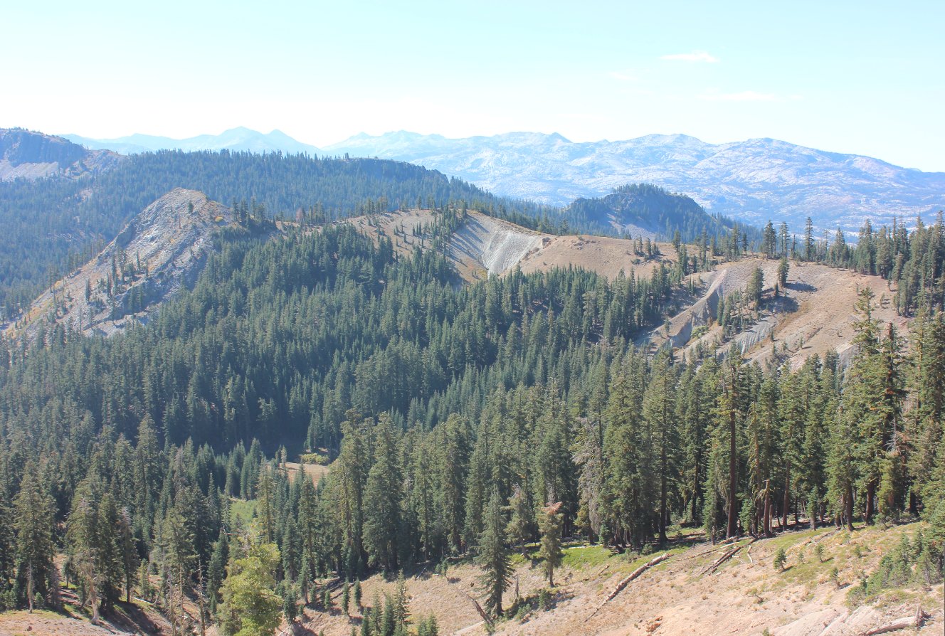
Similar to along the Ellis
Peak hike to the south, there are great views into Desolation
Wilderness from up here as well. |
 |
|
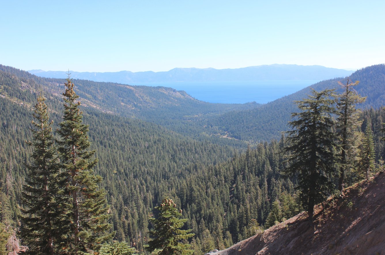
This spot
afforded a nice view all the way down Blackwood Canyon to Lake Tahoe,
and even some of the Nevada side of the lake in the distance. |
 |
|
This was
a good view toward Twin Peaks, right before the trail went down for a
good bit before then leading the way back up to this elevation and more
via a series (7 of 'em) of long switchbacks that seemed to go on
forever. Both there and back. |
 |
|
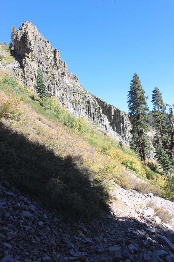
Terrain
like this is why the trail was routed down into the canyon for a bit,
only to then have to subsequently climb right back out of it later on.
Pretty rugged. |
 |
|
A couple
of signs about 4.5-5 miles along the way announced both entering the
wilderness area and then the split of the trail between the PCT and the
TRT. |
|
|
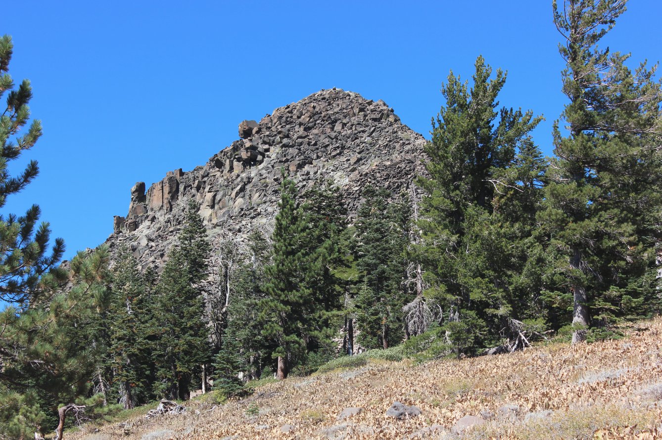
Not quite
a mile past the junction of the PCT/TRT is the spot where you have to
leave the trail and head up the spine to the top of Twin Peaks.
Lots of bouldering ahead. |
 |
|
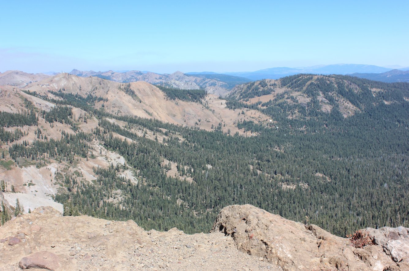
On the way up the last bit
toward the peak broad vistas of Alpine Meadows ski area kept me
entertained. |
 |
|
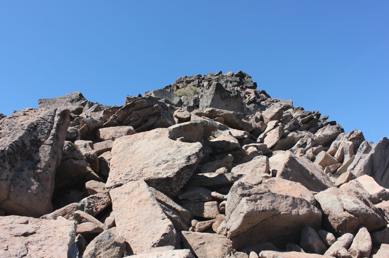
The last
couple of hundred feet to the top are very slow going, as you have to
pick and choose your way along the boulders which are piled on each
other all the way up. |
 |
|
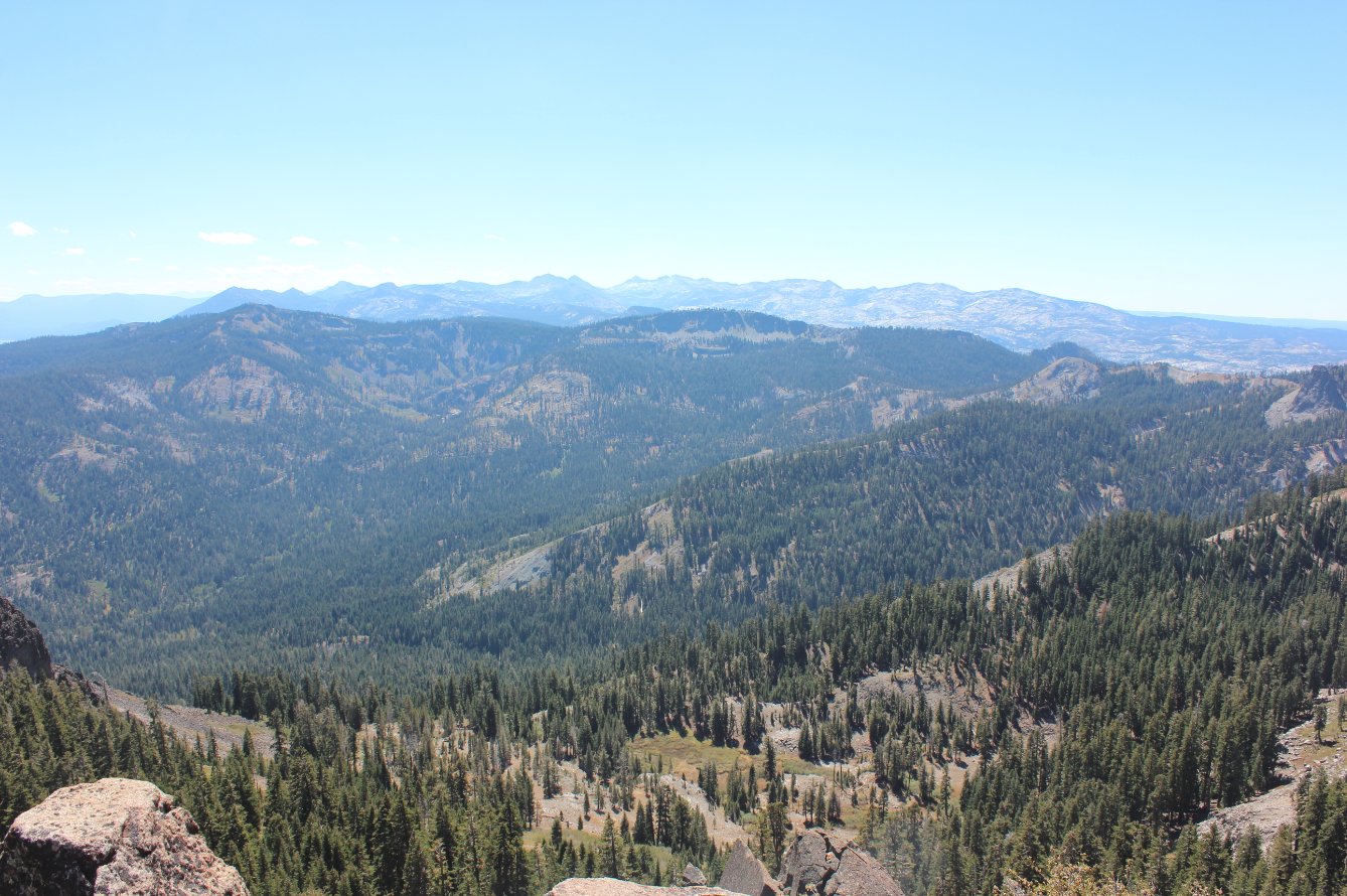
As
expected, the views all around from the top were amazing, and pretty
clear considering the amount of smoke from the Pollock Pines (King)
fire not too far away. |
 |
|
Desolation Wilderness far to
the south. |
 |
|
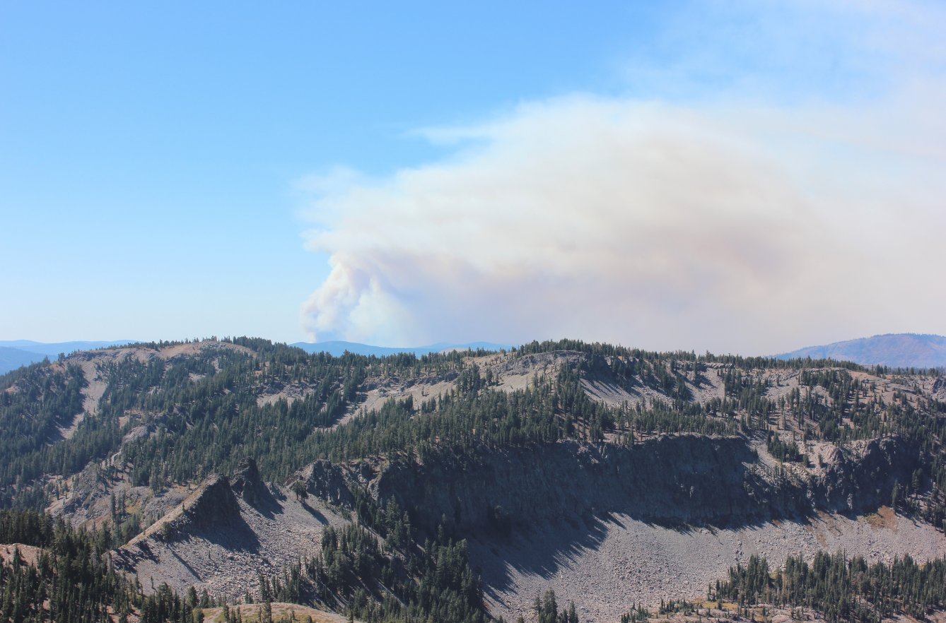
Looking
at the smoke from the King fire in Pollock Pines, which an hour later
actually changed direction and filled this entire area with smoke. |
 |
|
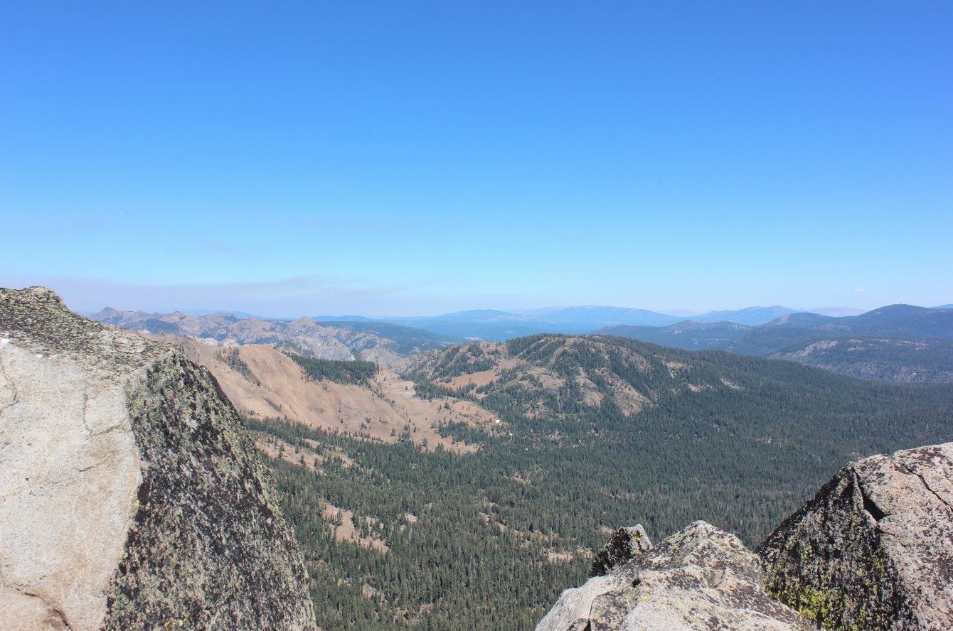
One more summit view shot,
this time looking north toward Alpine Meadows and beyond. |
 |
|
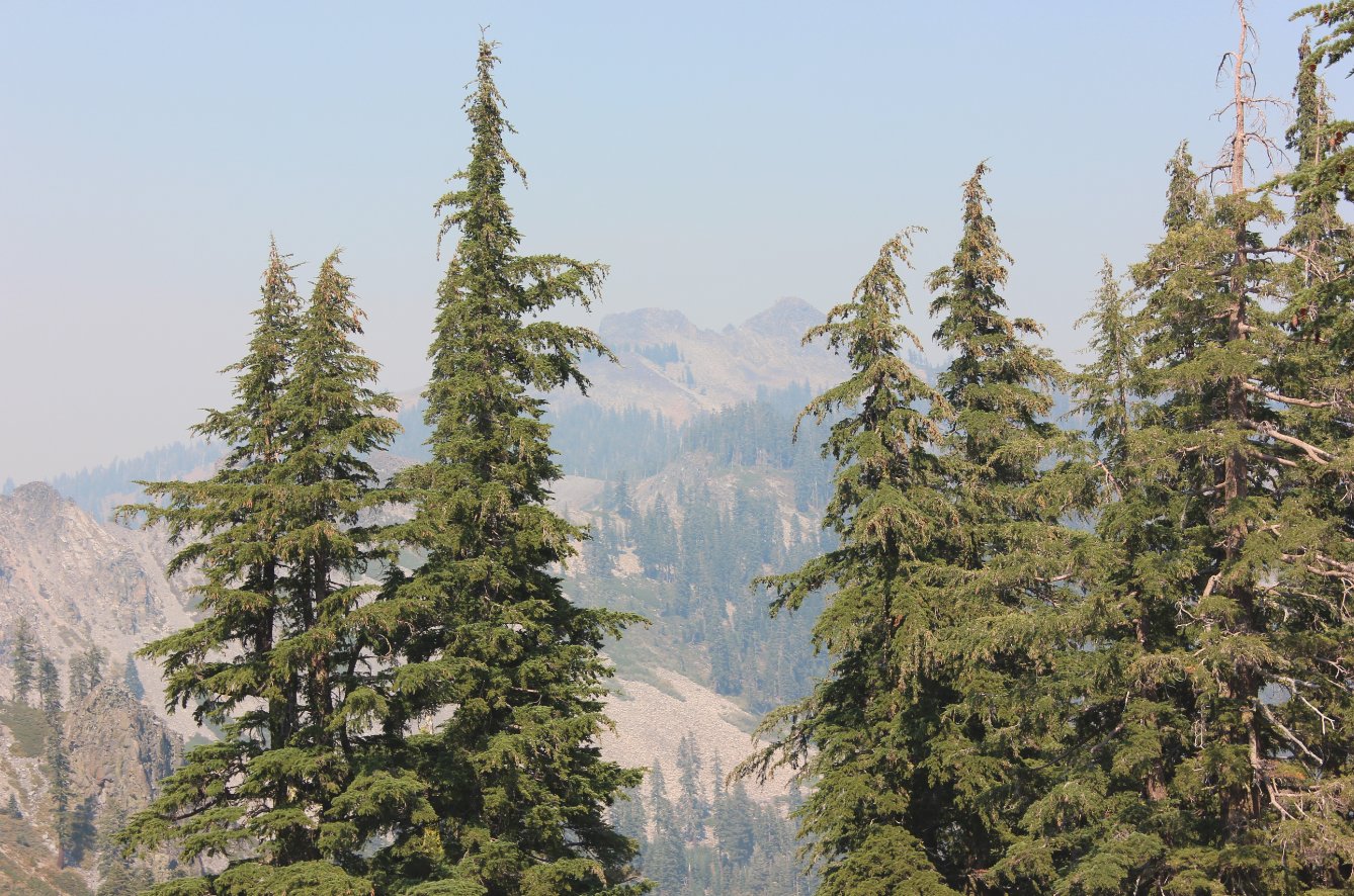
By the
time I was getting back to the car, the smoke had almost completely
obscured the peaks from view. To the south you could barely
even
see across the canyon toward Ellis Peak. |
 |
|
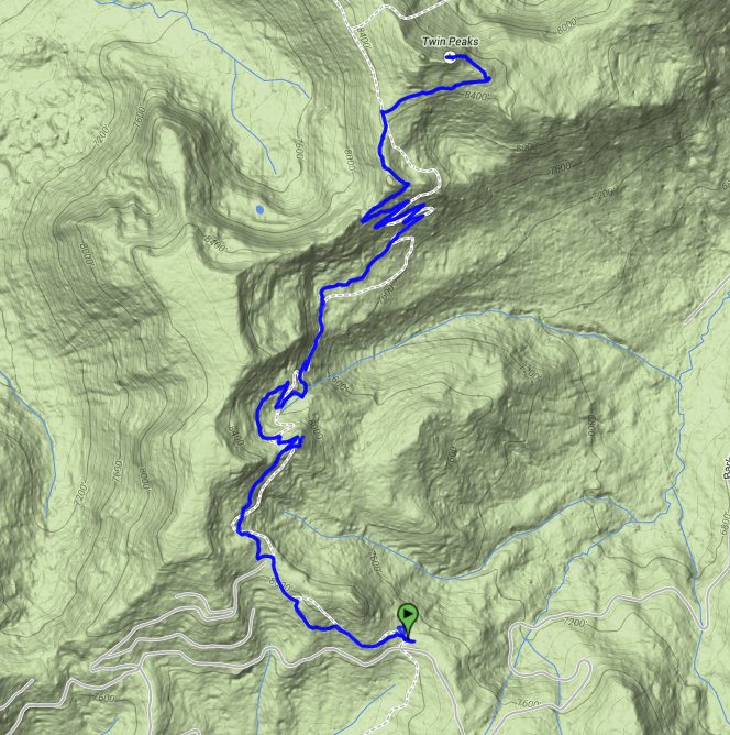
GPX image of the hike. |

|


 GPX for
this trip


