Distance: 35 Miles
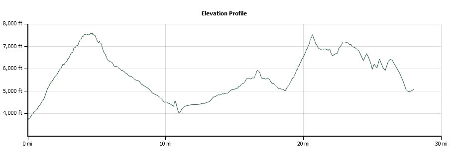
Vertical Gain: 4100'
Group Size: 11
Hike Rating: Easy Moderate Hard Strenuous
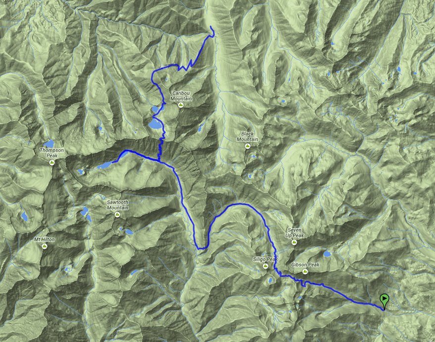
 GPX for
this trip
| Start Coordinates: | N 40 55.393, W 122 49.097 | End Coordinates: | N 41 04.289, W 122 56.304 | ||
| Car Shuttle Req'd: | Yes | Parking Directions: | Take Interstate 5 north to Redding and then tak e the highway 299 exit (Eureka Way) west. Continue to Douglas City, then turn north on Highway 3 (Main Street) toward Weaverville. Continue on Weaverville to Trinity Lake Reservoir. Turn left on Long Canyon Road and continue to the trailhead location. | ||
| Hazards of Note: | Bear cannisters are a necessity in this area. The hiking can be considered relatively remote with little to no cellular phone coverage. | Crowd Factor: | Negligible. Emerald Lake is most likely the location where you will meet any other people on this adventure. | ||
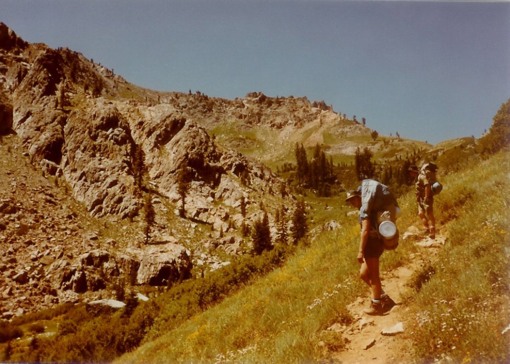
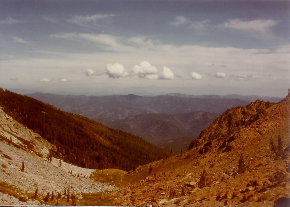
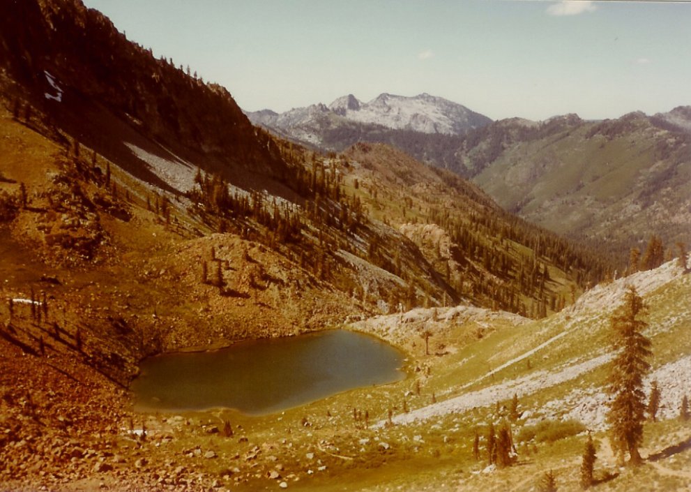
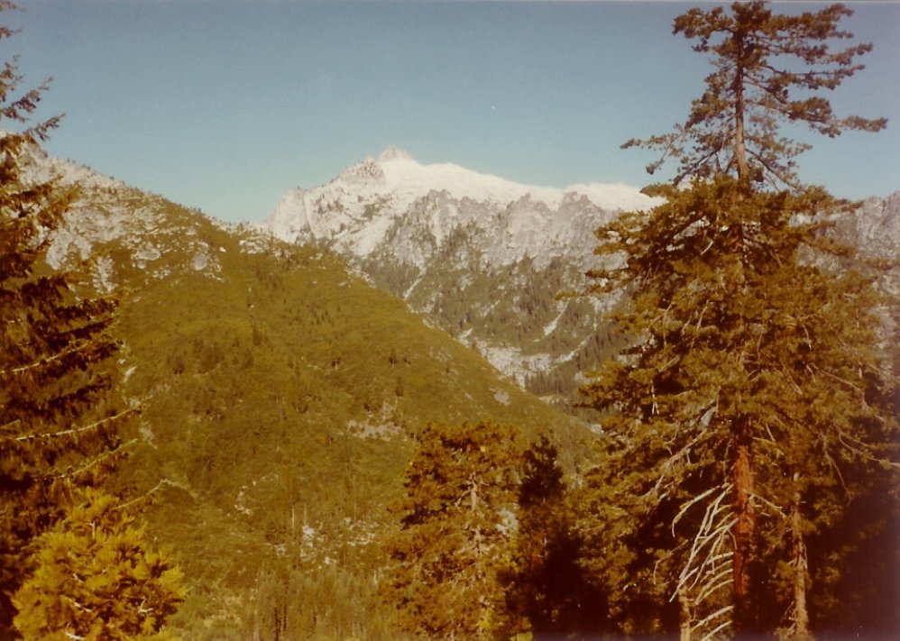
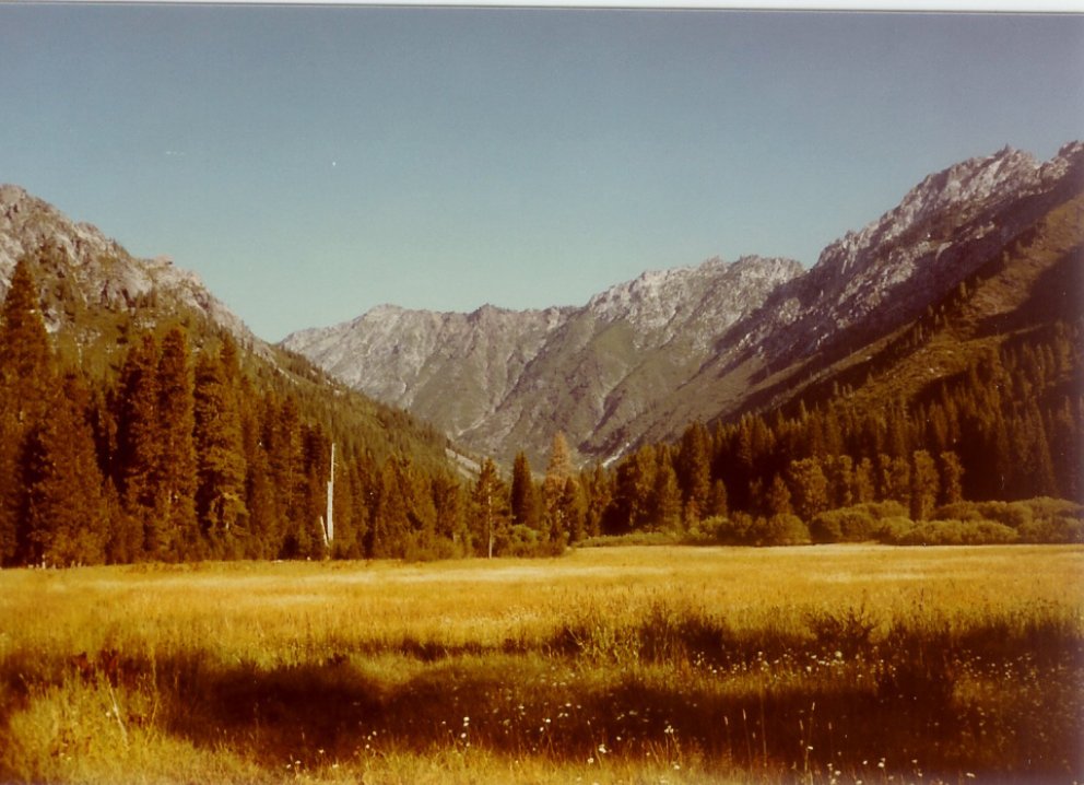
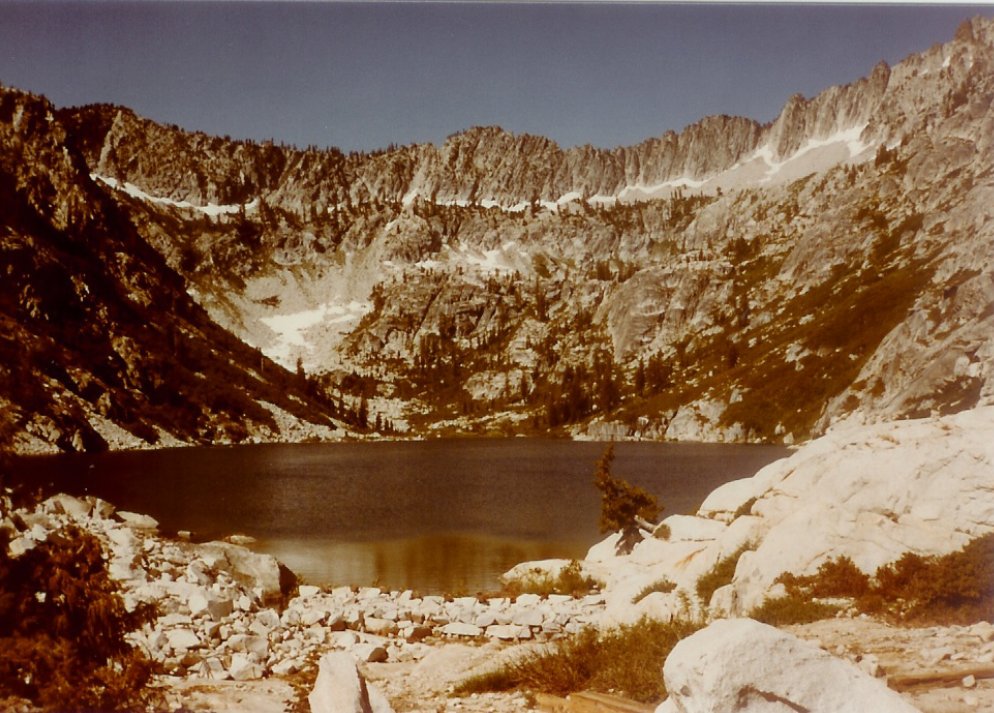
| General Notes: This is a backpacking trip of at least 4 to 5 nights. The first section heads up Long Canyon, gaining nearly 4000 feet of elevation on this first 10 miles of trail. Passing over Bee Tree gap, you will drop down into the Deer Lake area, just below Siligo Peak. There are three other lakes around the outside of this peak, which are worthy of exploration as time allows. Camping at Deer Lake is available at the Northeast end of the lake. The next section of trail heads north from this site, dropping down a significant amount as you navigate a large half circle to the north and then west, bending back south before cutting over a small ridge as you head back north toward Morris Meadows. There are many areas here to set up camp for the night, with the impressive Sawtooth Ridge mountains looming over you to the north, almost 2500 feet straight up. The third day will lead you north along the base of the Sawtooth Range, where you will eventually bend torward the west, and then climb up a rise to the next campsite at Emerald Lake. Emerald Lake, Sapphire Lake above it, and then Mirror Lake furthest above all sit in a bowl surrounded on three sides, and the alpenglow off the mountains in the morning and evening is spectacular. The next section of trail requires a very early wakeup, as you will be climing nearly 3000 feet over 92 switchbacks along what is known as "Suicide Ridge" to get to the top of the Sawtooth Ridge and drop down into the Caribou Lakes basin. From Emerald Lake you will backtrack just a little over a mile, and then head north up the interminable switchbacks that climb this ridge. The views back down into the valley and toward Morris Meadows are amazing, and can help take your mind off the difficult climb. Once you achieve the summit, drop down into the basin on the eastern side of Caribou Lake, and then hike between Lower Caribou on the west and Snowslide Lake on the east, finding agreeable campsite locations along the shores of Snowslide Lake. The last section of trail heads out at Big Flat, following the trail along the western flank of the ridge containing Little Caribou Lake high above, turning east as you round the mountain and thenhiking along the ridgeline until you drop down into Big Flat and the end of the trail. |
|||||
