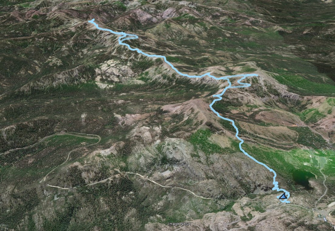
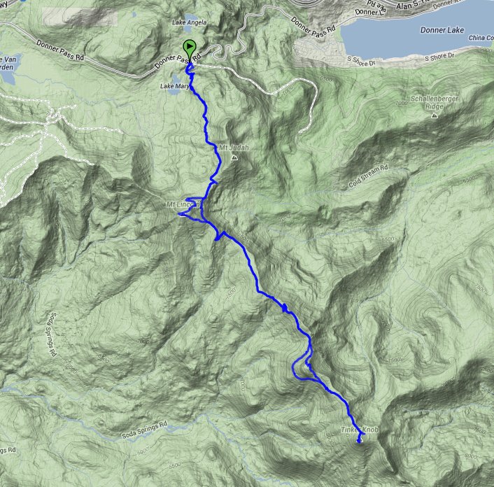
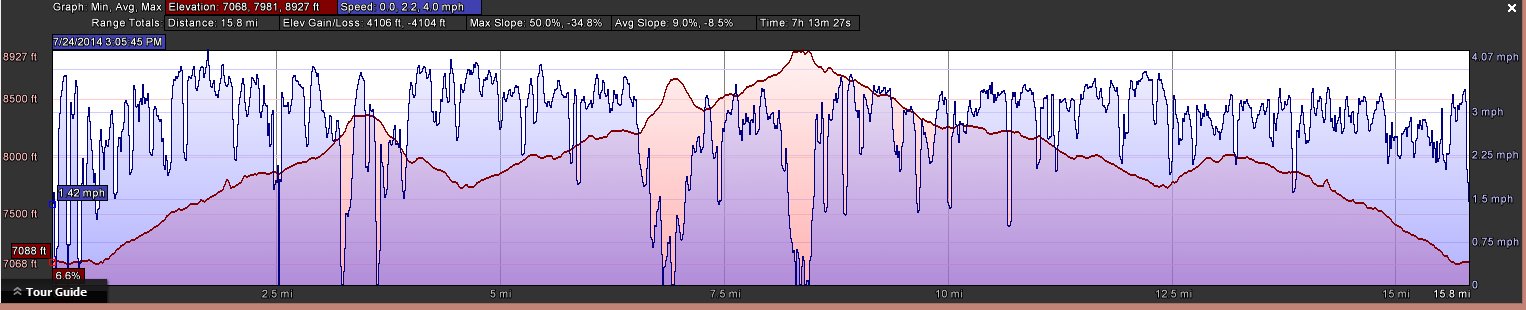
Distance: 16.6 Miles
Vertical Gain: 3100'
Group Size: 1
Hike Rating: Easy Moderate Hard Strenuous
 GPX for
this trip
GPX for
this trip
| Start Coordinates: | N 39 18.975 W 120 19.564 | End Coordinates: | Same as starting coordinates | ||
| Car Shuttle Req'd: | No | Parking Directions: | Take Highway 80 to the Soda Springs/Norden exit from the freeway. Go straight onto Lincoln Highway for 3.7 miles, and turn right into the parking area for Sugar Bowl Academy. You can park here, or continue a little further down the road to dirt parking across from Lake Mary. | ||
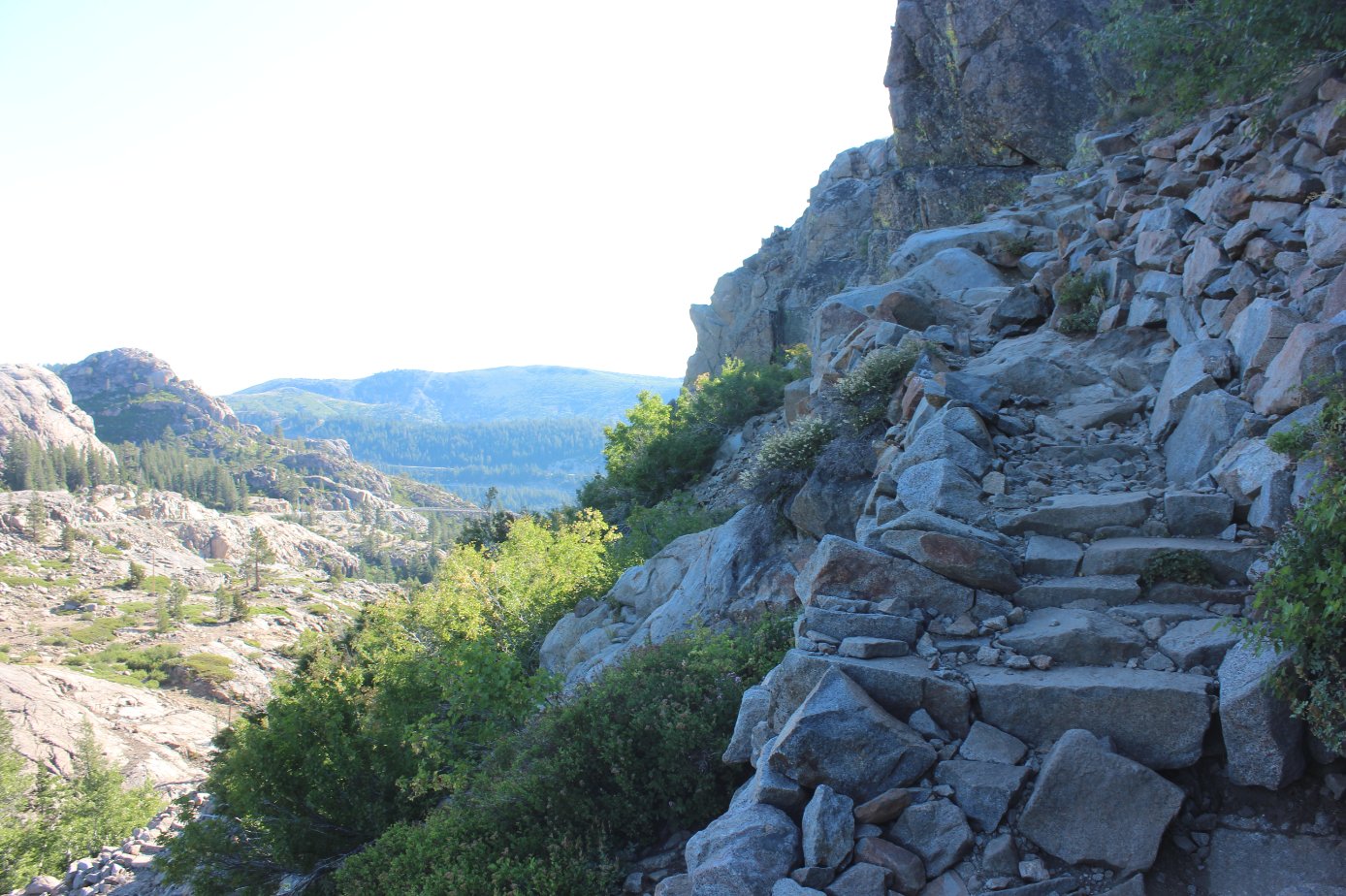
| Hazards of Note: | A few miles of this trail, including the first mile and a half and around the base of Mt. Anderson are very rocky and present a significant tripping hazard. | Crowd Factor: | Moderate. The first part has many people doing the shorter Mt. Judah peak loop hike, and in the summer there will be a number of PCT through hikers heading north that you will run into. | ||
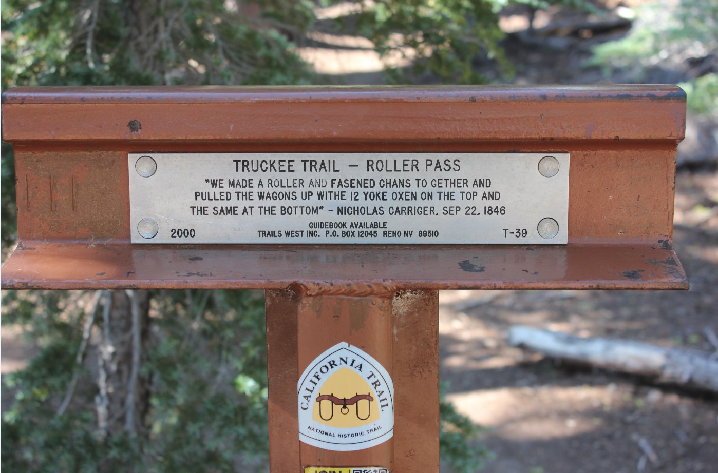
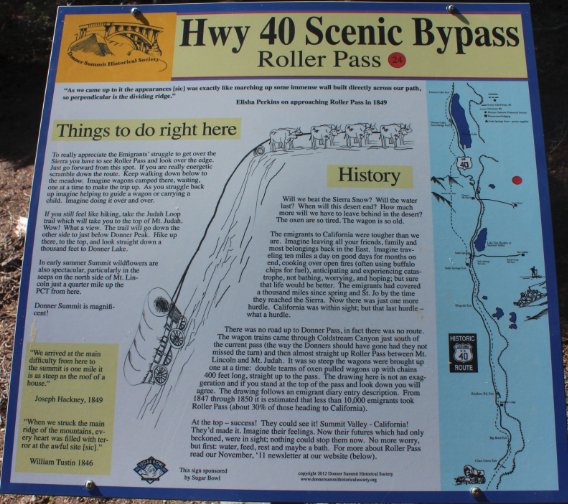
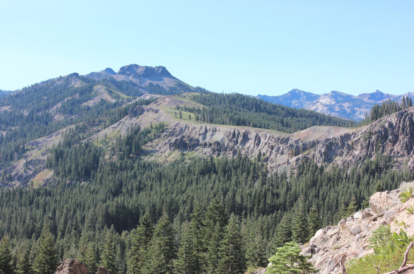
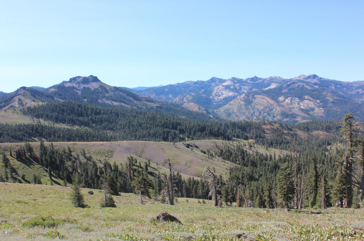
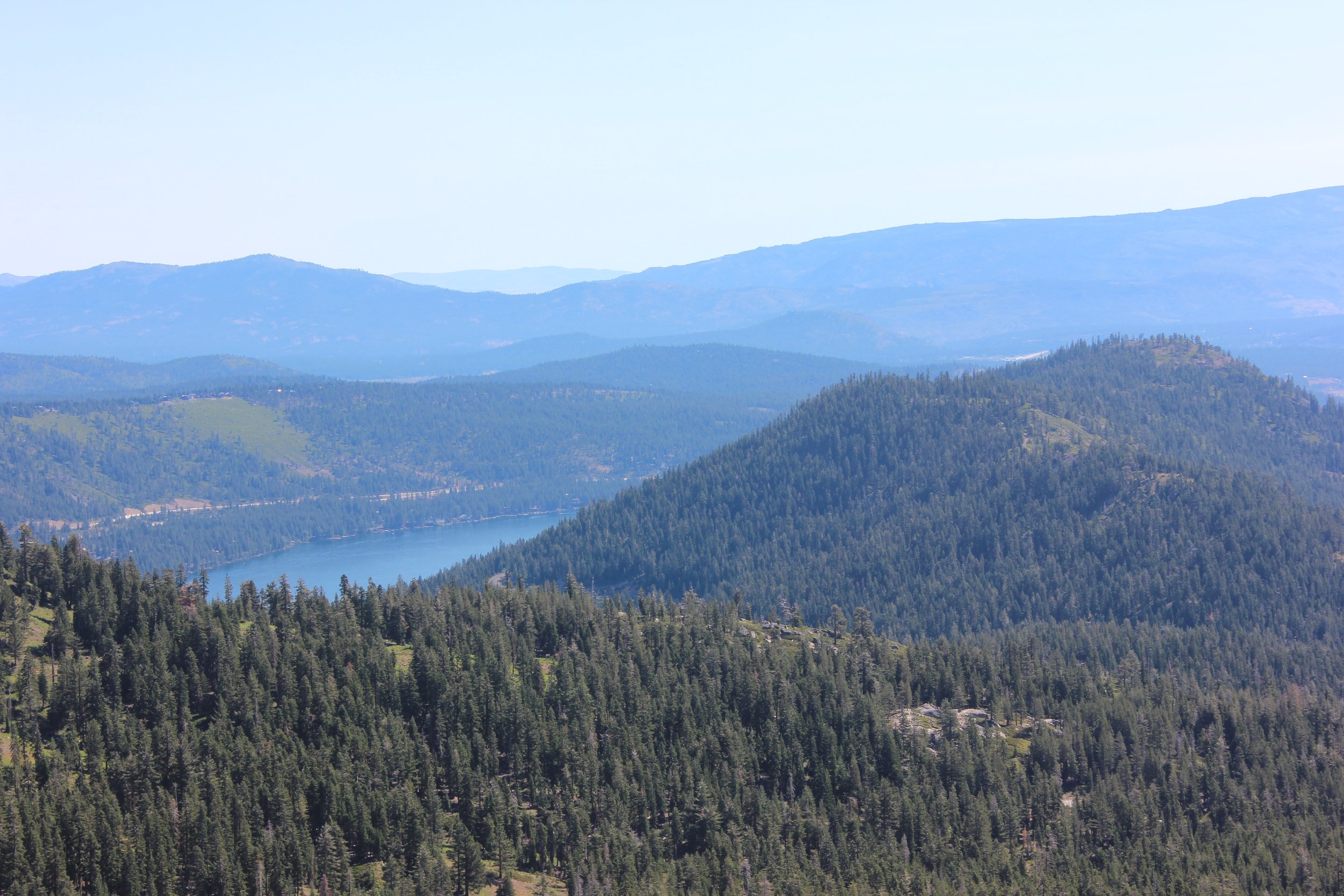
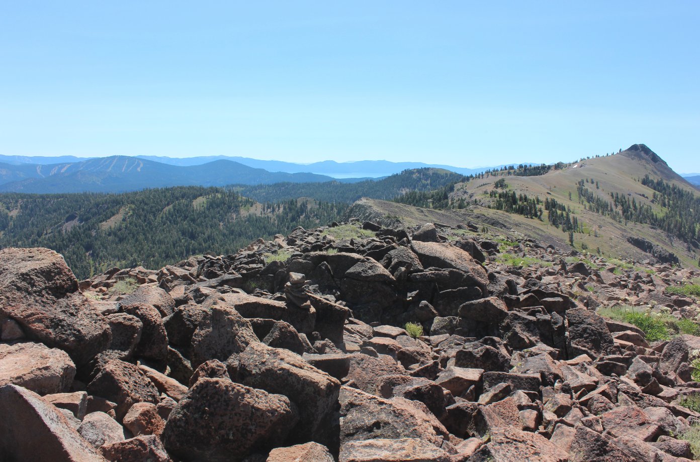
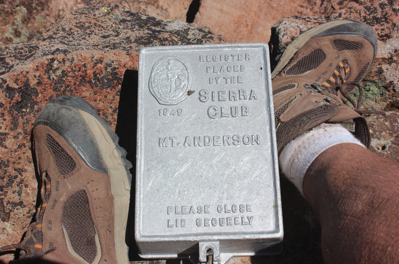
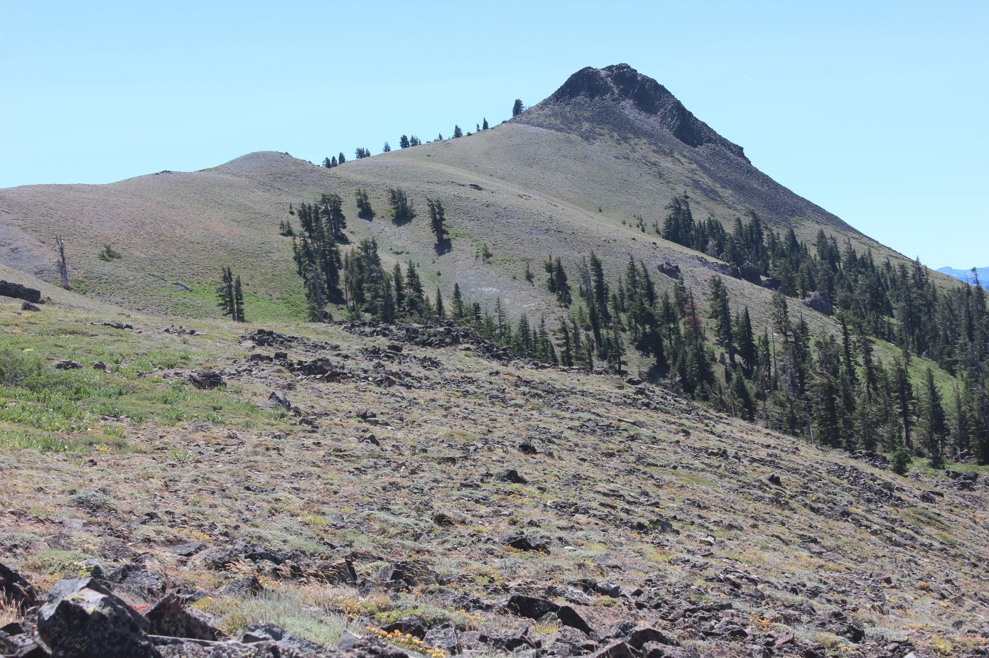
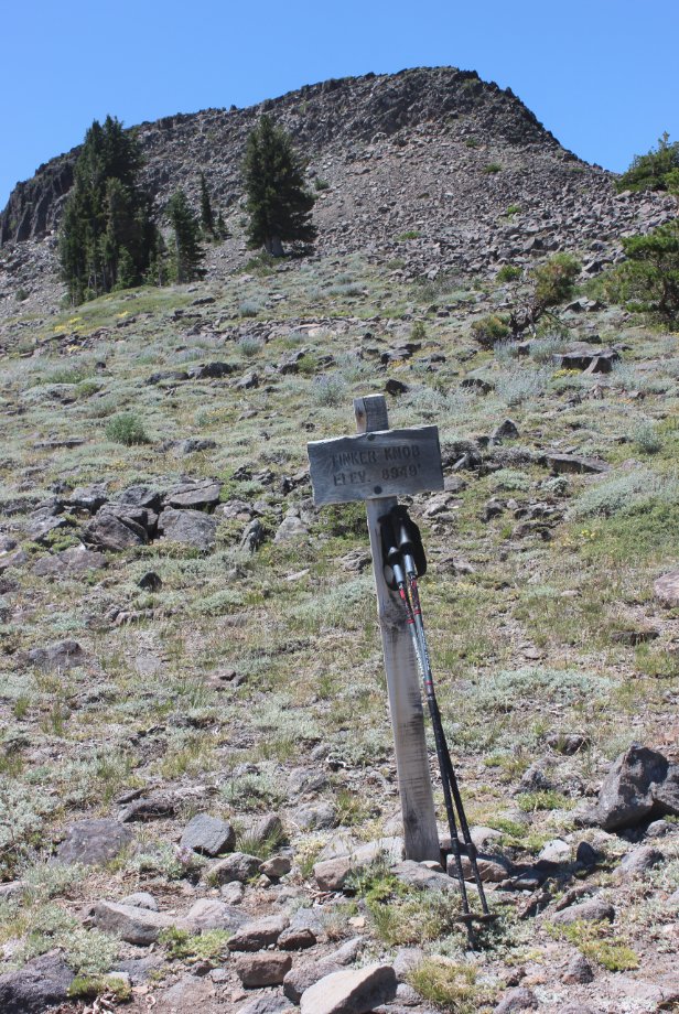
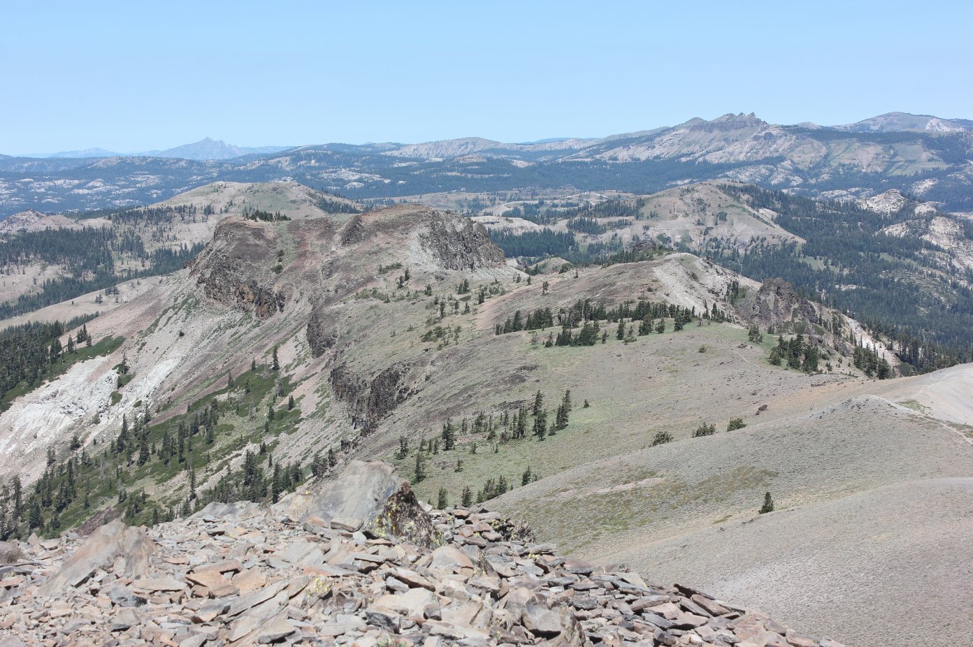
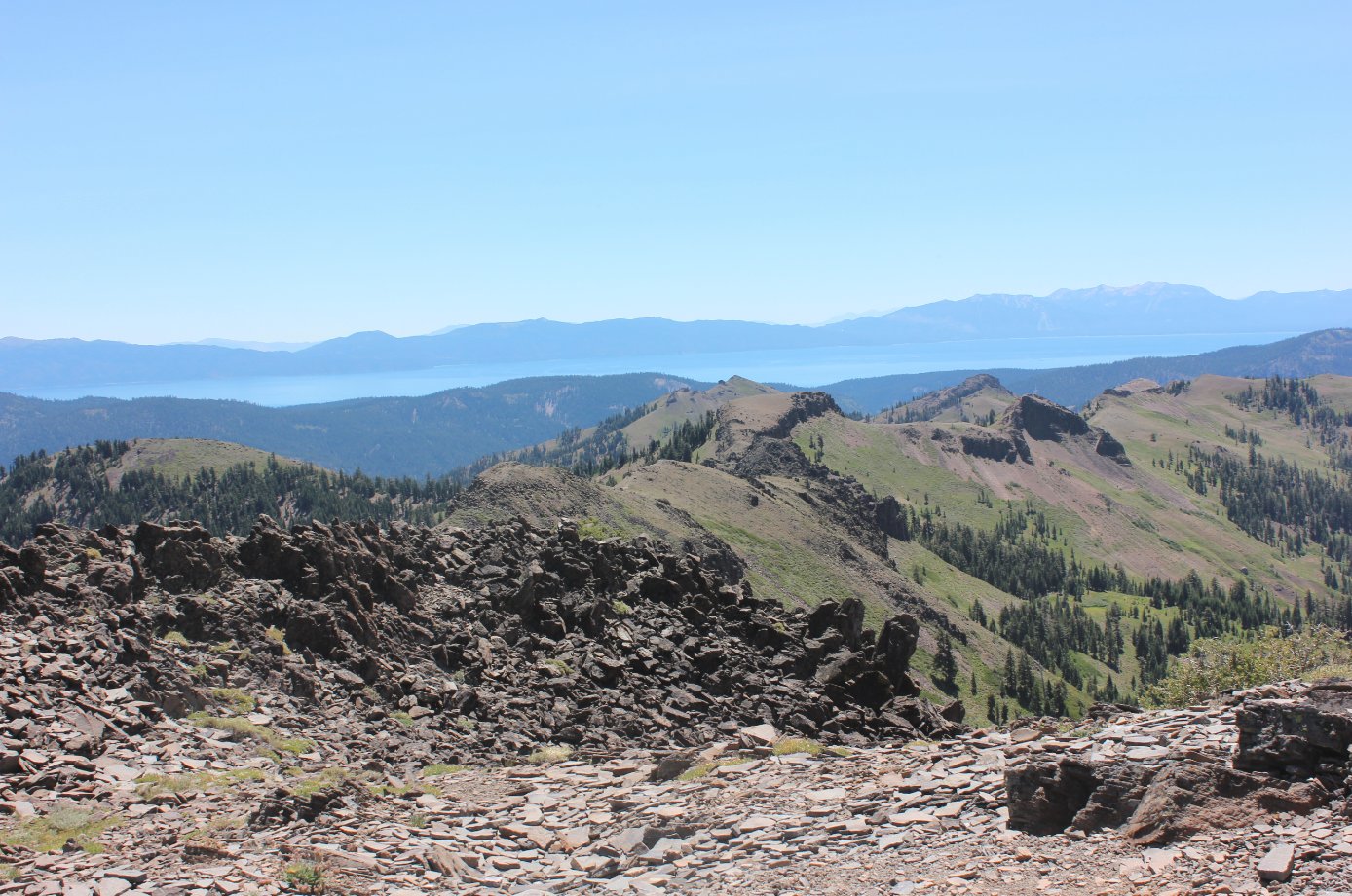
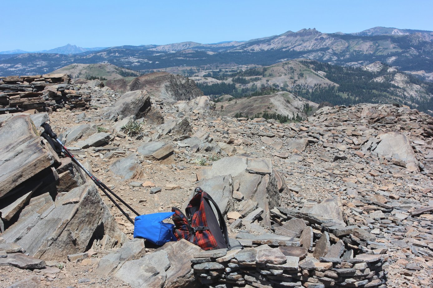
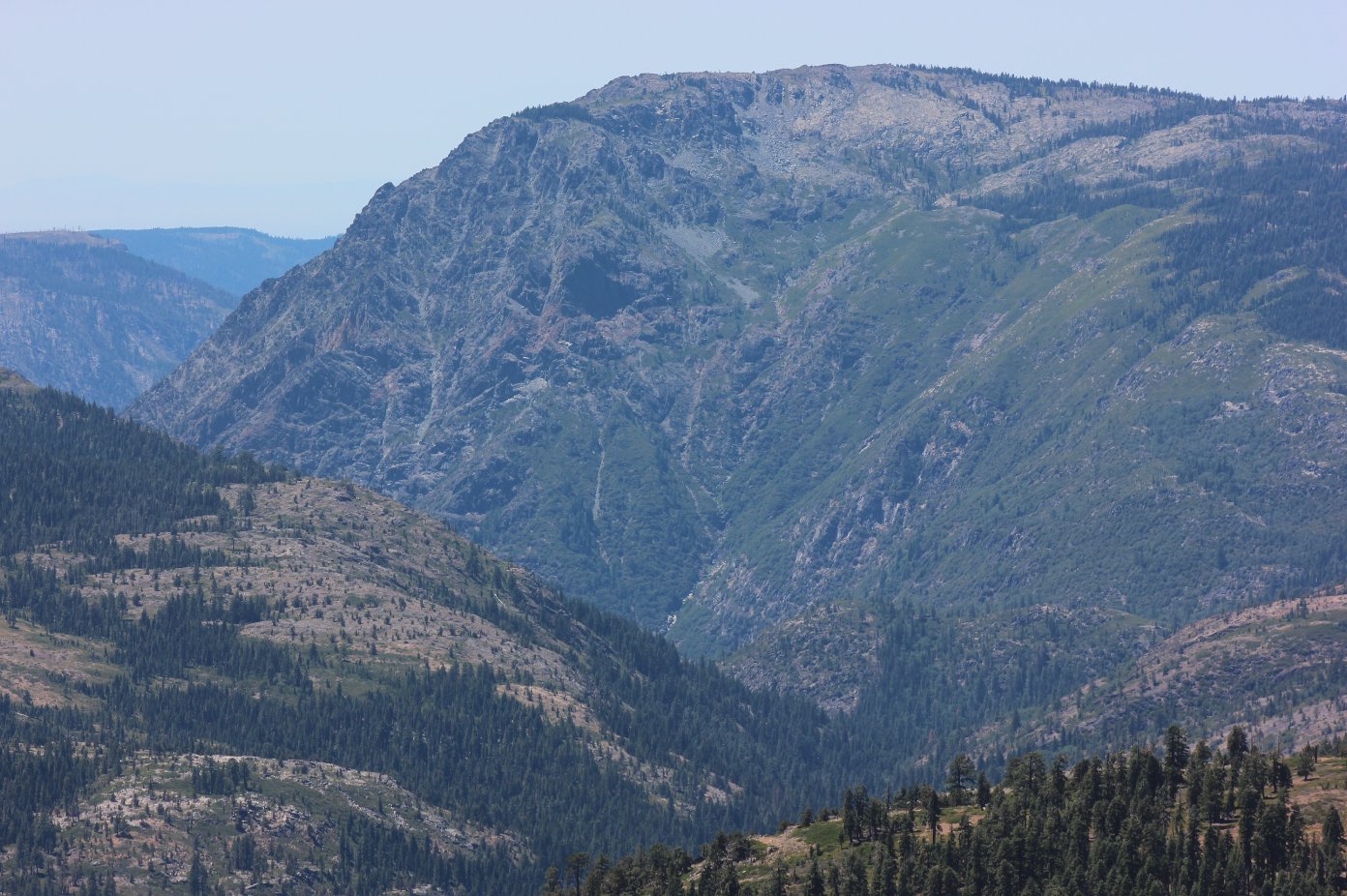
| General Notes: From the parking at the trailhead, you need to find the PCT signpost which is just a little bit down the road, past a portable outhouse that is provided by a local business for PCT hikers. From here the trail initially heads south, then bends to the west after crossing a stream and starting up the first very rocky section of the trail. Along the first couple miles are two trail junctions, which allow for a loop hike up and around Mt. Judah for those wishing to do a shorter route and still enjoy some views. Stay on the PCT as it heads south, and then be sure to stop and check out the area at Roller Pass where the emigrants had to pull their carts up a sheer rock face with the help of oxen. At the base of Mt. Lincoln, easily identifiable with ski lift equipment at the top, you can follow a dirt road up to the west as it switchbacks all the way to the top of the mountain. Either head back down the same way, or take the easy cross country way off the south side back down to where you can see the PCT below you. Just about 2/10 of a mile before reaching the base of Mt. Anderson in another 2 1/2 miles, there is a use trail straight up the small hill in front of you, which leads to the Sierra Club's Benson warming hut. This can be rented in winter, but it is hard to imagine the effort to get this distance in the snow from any direction. As you face the cabin, there is a use trail that heads directly west, and you can follow this across the rock piles at the base of Mt. Anderson and pick your way up to the summit, carefully, aiming between the two ridges on either side of the peak. At the top the peak flattens out, and there is a summit register which can be signed near the tall rock cairns you will find there. Heading back down the southern side to once again pick up the PCT is a breeze, and much easier than the northern climb up the face. Tinker Knob is the next peak to the south, and has been visible for much of the hike so far along the PCT. Again, about 1/10 of a mile from the peak, you will find another use trail headed off in the direction of the mountain. Take this, and then follow it up until you have to scramble up the east side of the peak to reach the top. There are a number of wind shelters built up here, and there is another summit register to sign as well. After your visit, scramble back down the way you headed up, and then return along the PCT north for about 8 miles until you are back at the trailhead. |
|||||