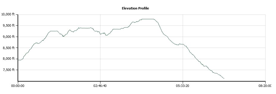
Distance: 11.6 Miles
Vertical Gain: 2700'
Group Size: 3
Hike Rating: Easy Moderate Hard Strenuous
 GPX for
this trip
| Start Coordinates: | N 38 42.338, W 120 06.456 | End Coordinates: | N 38 40.796, W 120 06.969 | ||
| Car Shuttle Req'd: | Yes | Parking Directions: | Take Highway 88 to the signed parking area for Thunder Mountain trailhead approximately 3 1/2 miles east of Silver Lake. Park a second car at the Horse Canyon trailhead approximately 2 miles west of Thunder Mountain trailhead on the south side of Highway 88. | ||
| Hazards of Note: | Weather in this area can
change quickly so be prepared for various temperatures and rain. |
Crowd Factor: | Moderate. This is a well marked and maintained trail but not overly travelled. | ||
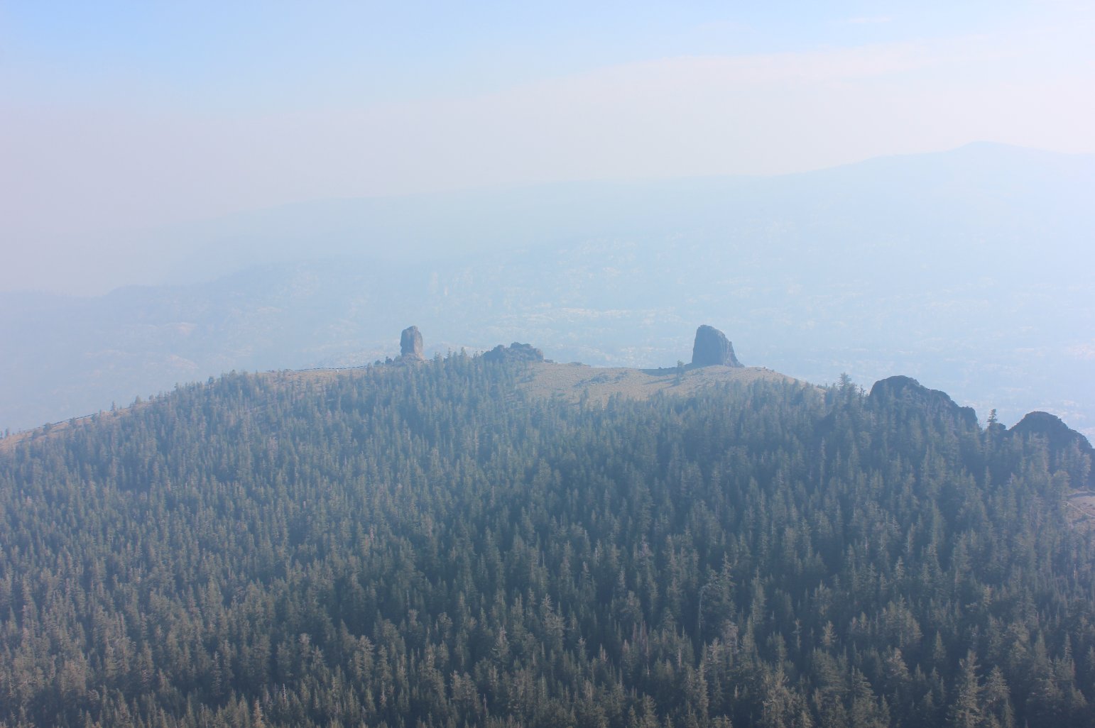
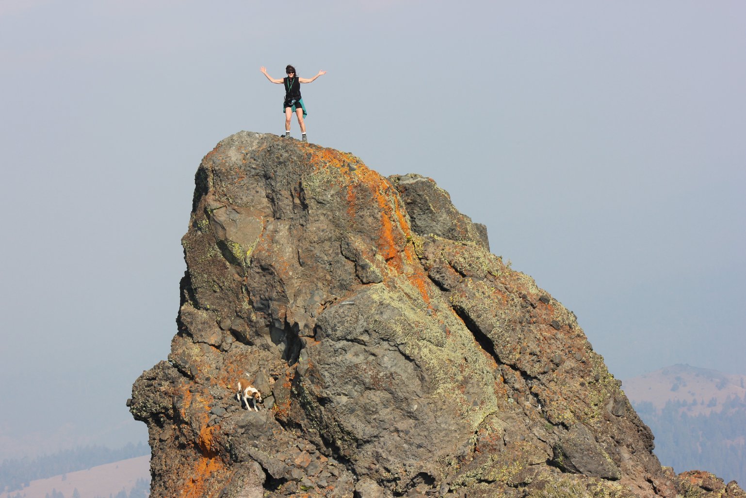
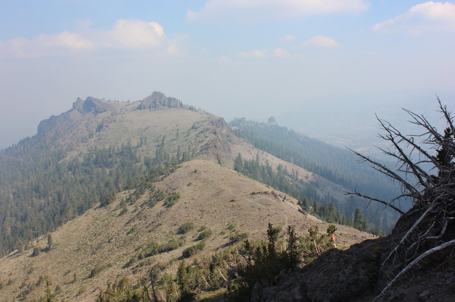
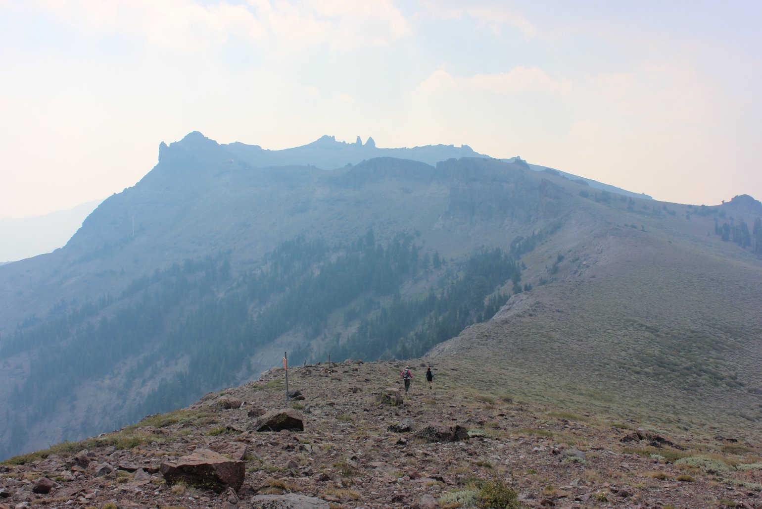
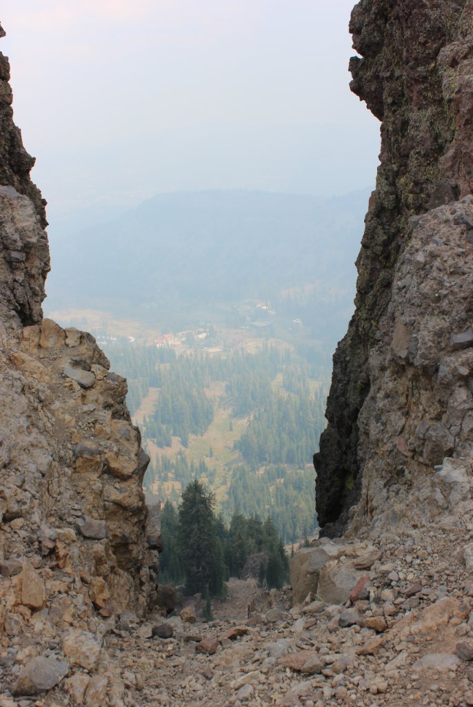
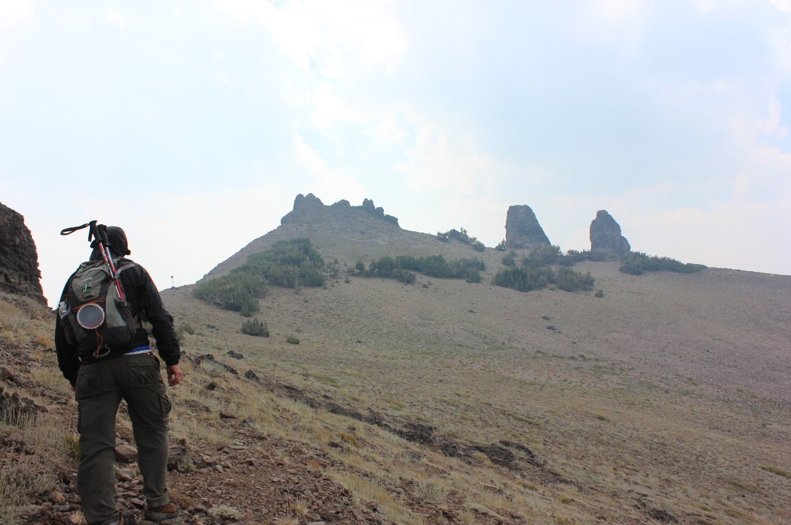
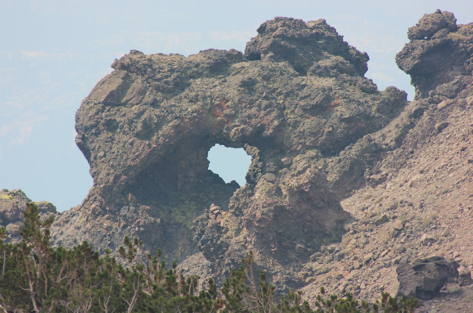
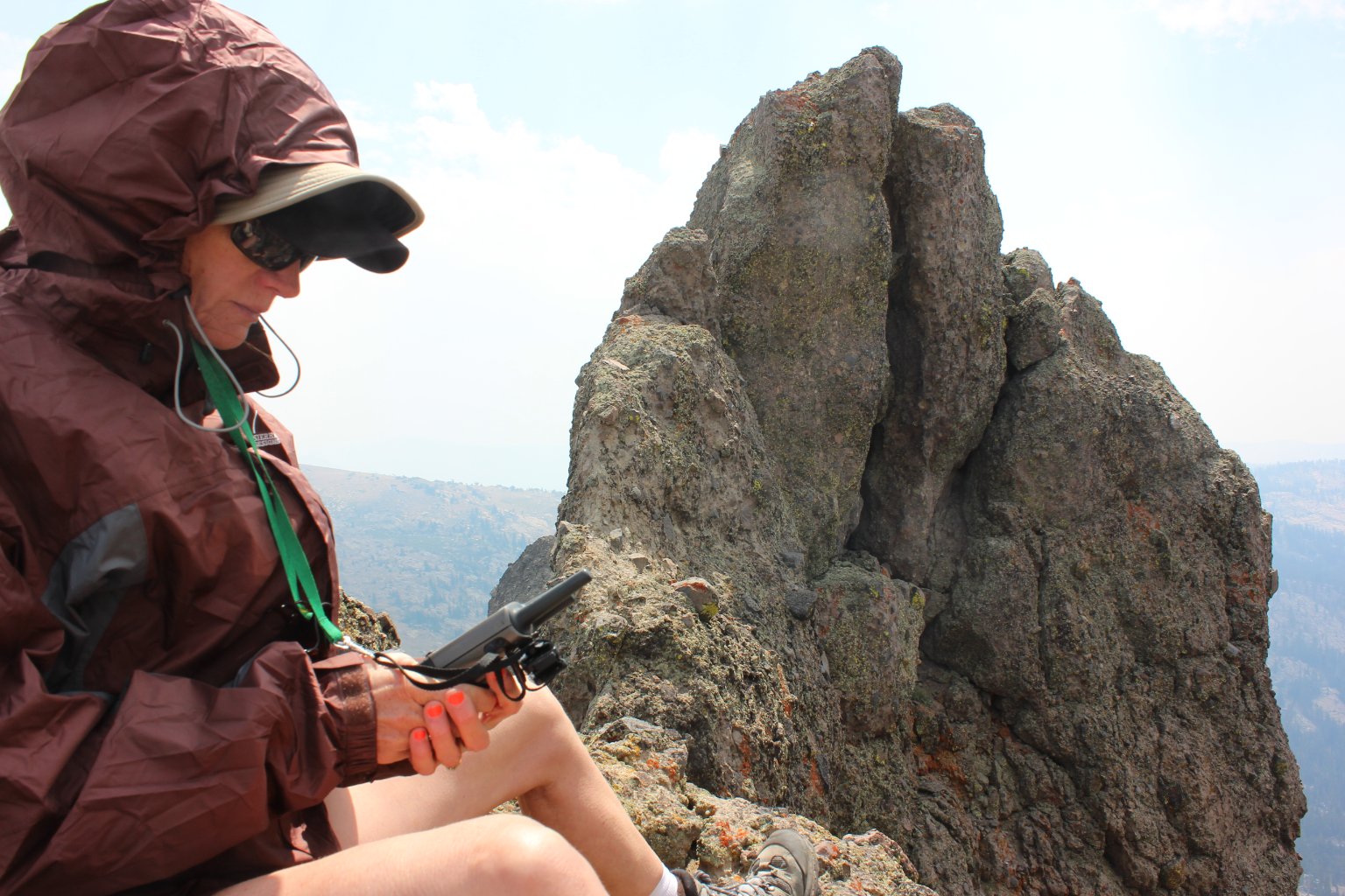
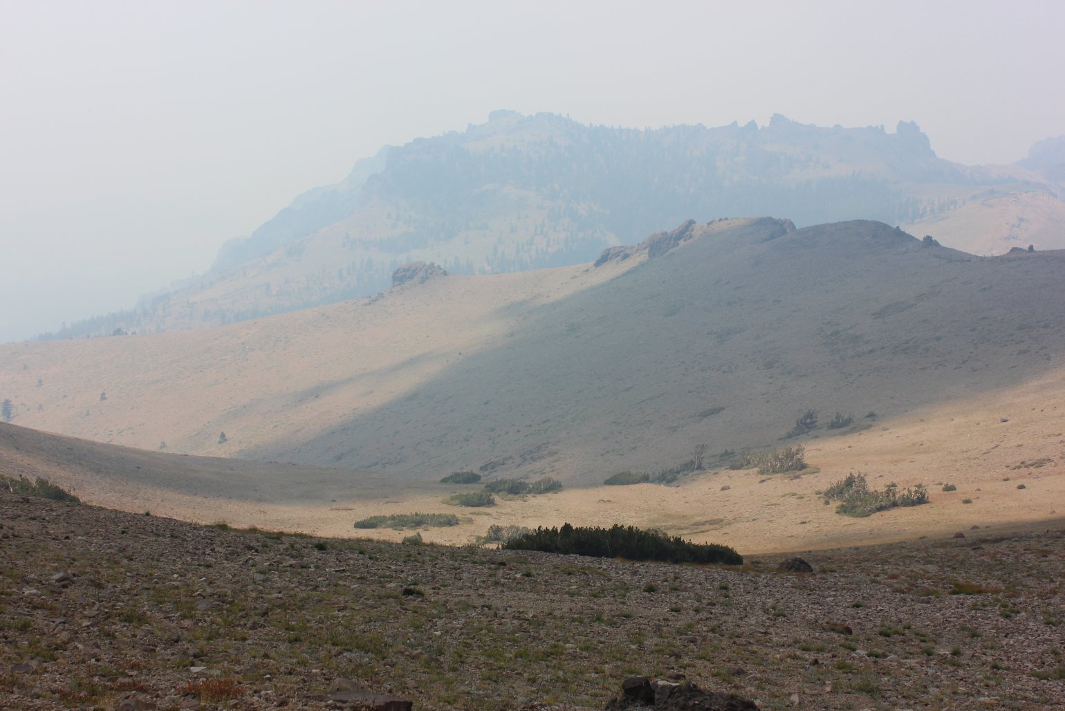
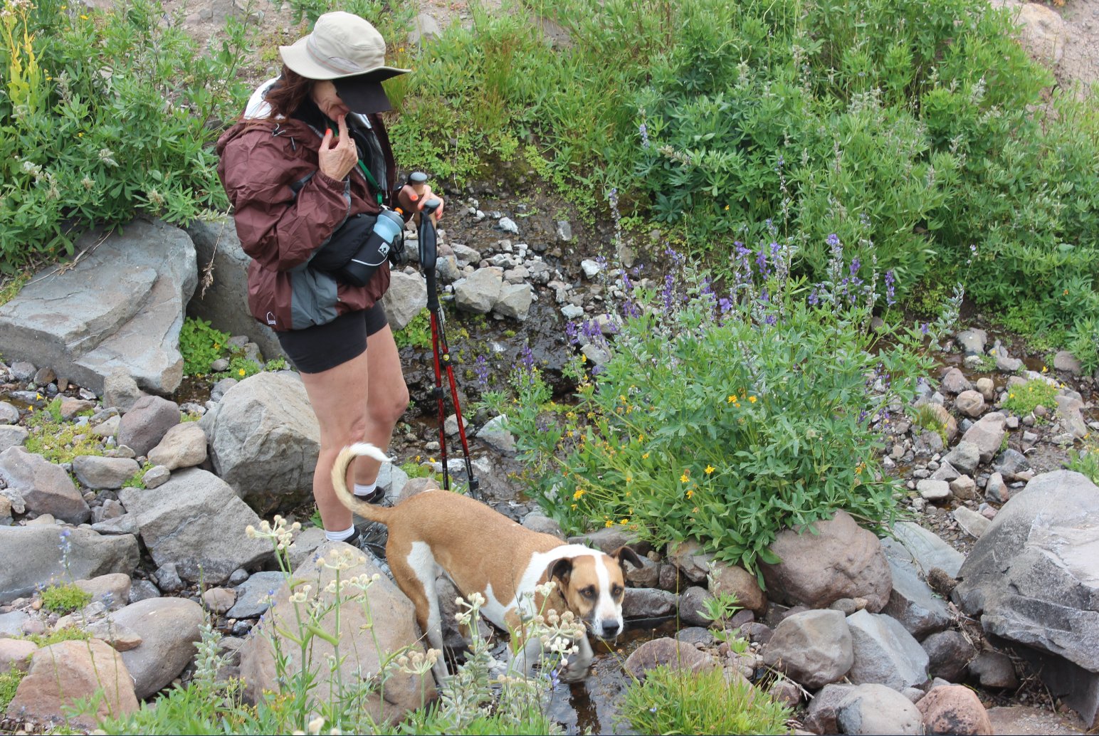
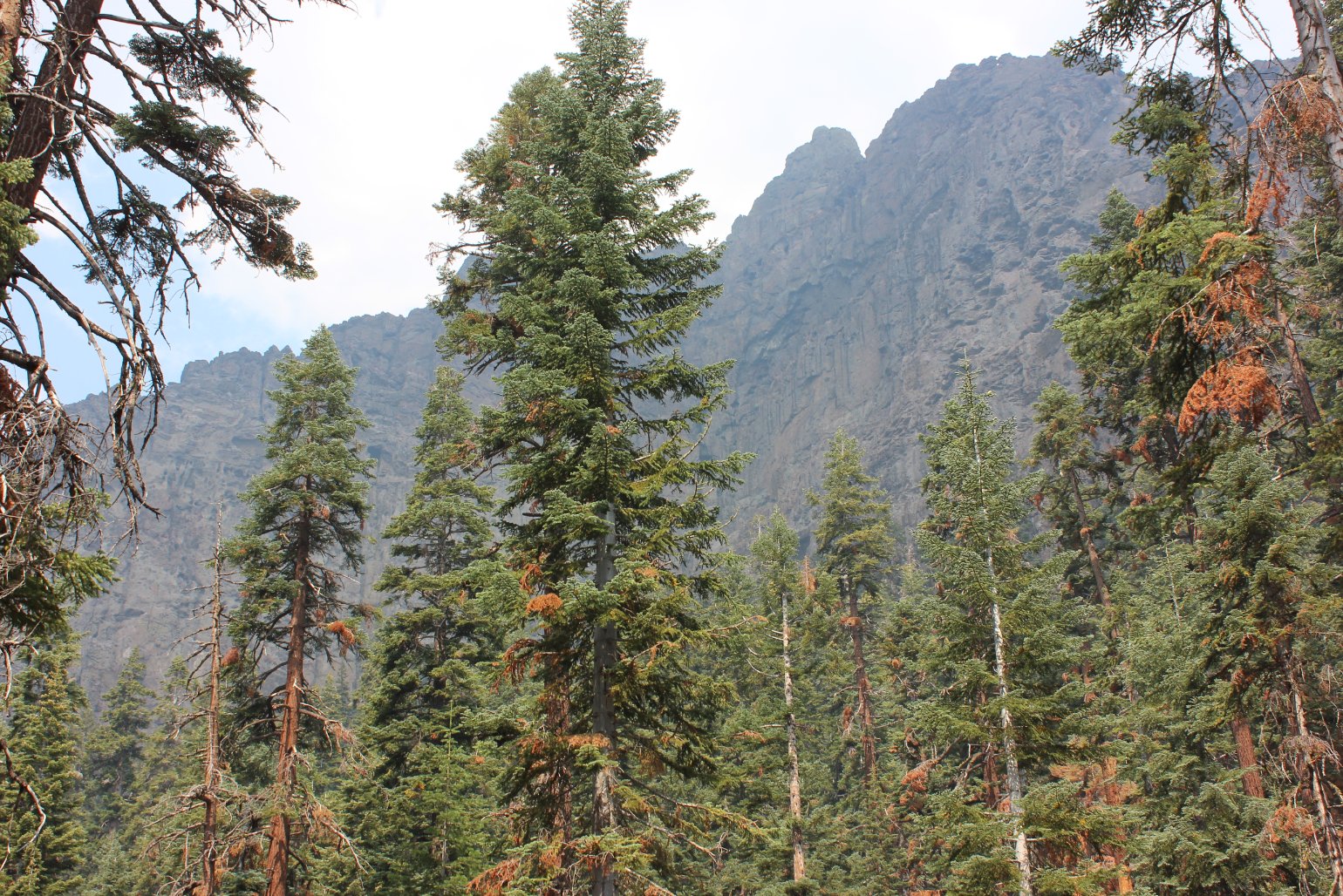
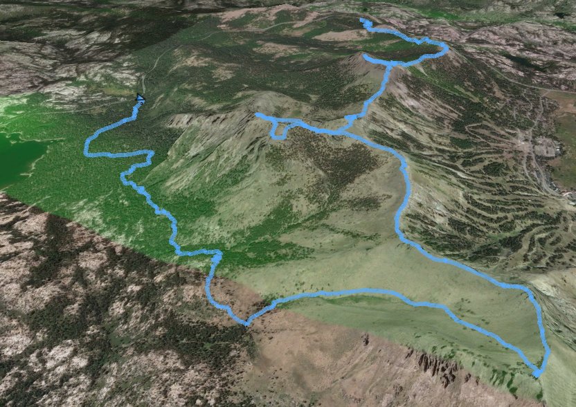
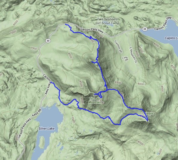
| General Notes: From the parking area head up the first section of the trail through forest and wildflowers until you pass by some avalanche control structures on your left. You will soon reach the ridge with great views to the north and east, and then will head almost due south along the ridge for the rest of the hike. About halfway to the peak you can take a short side trip to the west to the top of Martin Peak, and then continue along the trail for another mile. Here the trail will bend west, and then head up toward the top of Thunder Mountain peak and its spectacular view of Silver Lake far below. After coming back down from the peak, find the spur trail that heads along the ridgeline to the south, and follow it for another mile or so to "The Edge," a sheer wall of rock that provides great views down into Kirkwood ski resort. The continue on to "The Thimble," the protruding rock further south with a distinctive look as if it is a thumb sticking up in the air. From The Thimble, head back down the valley to the Northwest, following seasonal streams and staying on the north side of the water as you make your way all the way down to pick up Horse Canyon Trail. This trail will lead you north along the base of Thunder Mountain, and will eventually take you to the Horse Canyon trailhead and the end of the hike. |
|||||
