Distance: 11.0 Miles
Vertical Gain: 1300'
Group Size: 3
Hike Rating: Easy Moderate Hard Strenuous

 GPX for
this trip

| Start Coordinates: | N 38 37.480 W 119 54.537 | End Coordinates: | Same as Start Coordinates | ||
| Car Shuttle Req'd: | No | Parking Directions: | Take Highway 88 to Blue Lakes Road. Drive about 8 miles on this paved part of Blue Lakes road and park at the coordinates where the road has a turnout area. The coordinates listed are for the actual PCT trailhead, and we found a good parking spot across the road about 200 feet to the south. | ||
| Hazards of Note: | Significant elevation gain on
the road up from the parking area. The final ascent along the PCT on the west side of the Nipple and then up to the top is very dry, unshaded and filled with volcanic scree. |
Crowd Factor: | Minimal on the PCT. We enountered a PCT thru-hiker and one trail runner on the way to the Nipple, and there was nobody else at Lost Lakes. When you drop down into Blue Lakes to finish the loop along the road, the area was very busy with many summer campers out. | ||
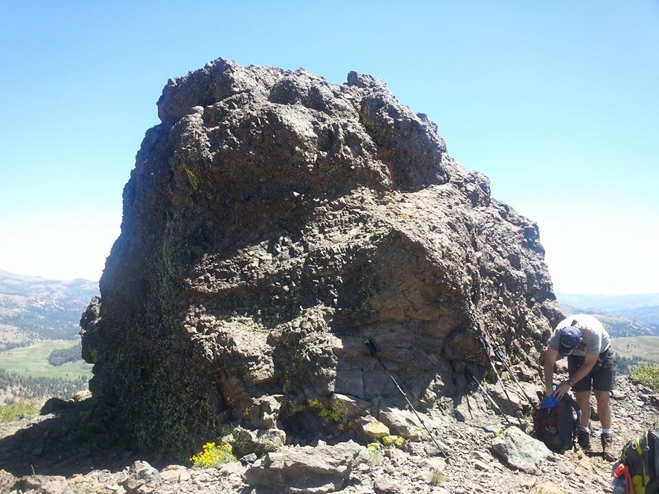
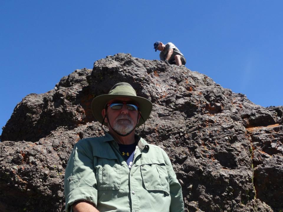
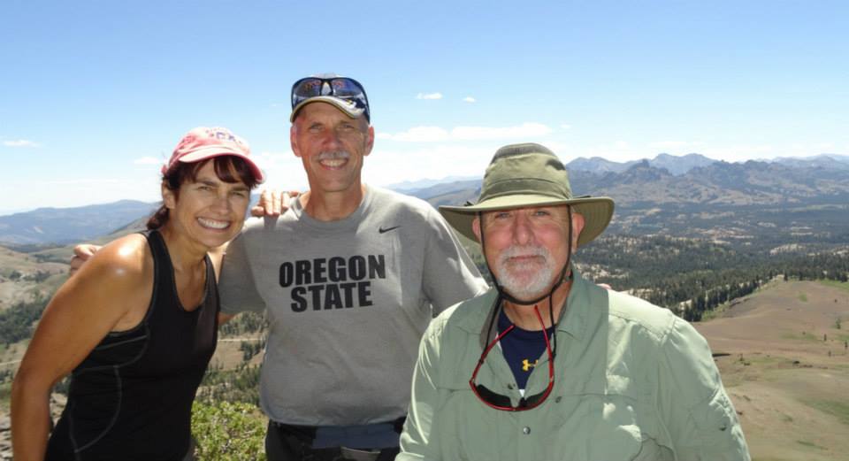
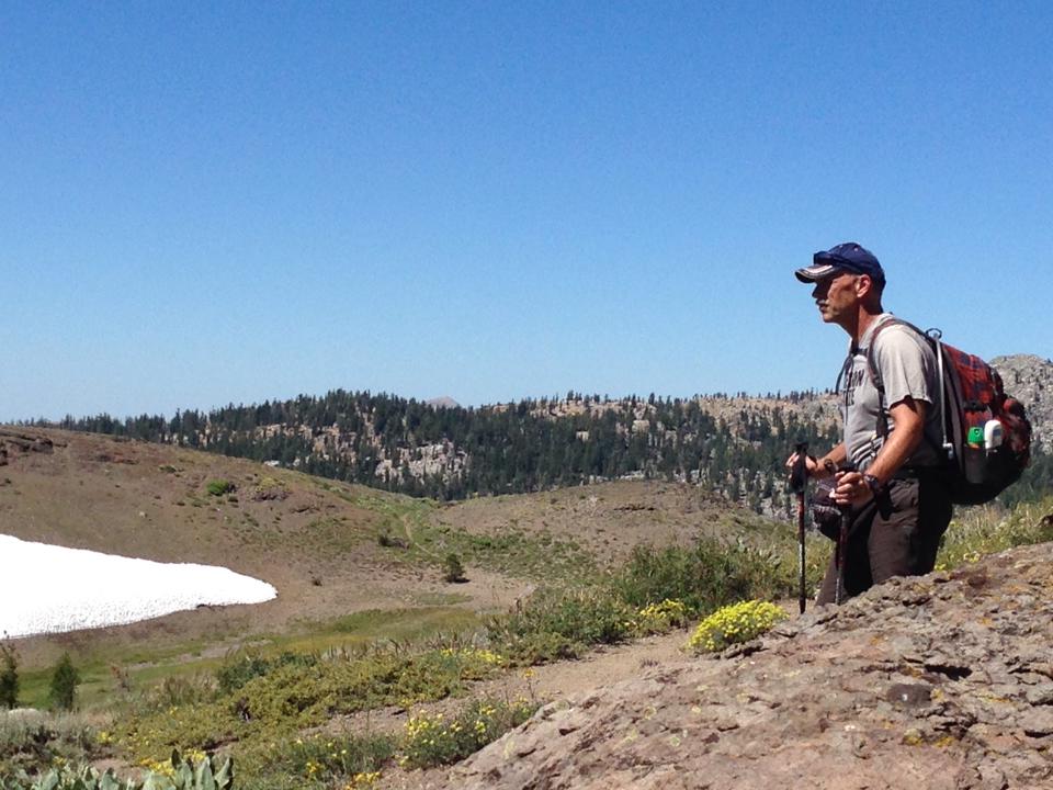
| General Notes: From the parking area on the road, we crossed over the two-lane highway and started up the Pacific Crest Trail (PCT) immediately. This is a well-cared for trail, and it is easy to follow and the initial mile or so takes you through a shaded forest area with many wildflowers about. As you start to head north at about the 2 mile mark, the trees thin out until you leave them behind and have a few long switchbacks up the volcanic scree on the west side of the peak. We ended up actually passing the peak of The Nipple on the trail, and then taking a lightly marked use trail up to the top of the Nipple, staying just on the west side of the crest most of the way. Back on the PCT, we dropped down into the south part of the first Lost Lake that is visible, and found a nice place for lunch at the very south end of the lake. Follow the lake around its eastern edge and check out the amazing views of Hope Valley from a rise just east of the lakes. To get onto the forest road that will drop down into the Blue Lakes area, hike between the two lost lakes, find a use trail around the west edge of the second lake, and the road is at the north end of this lake. Follow it down and hike along the main dirt road for the two Blue Lakes until you reach the entrance, and then follow Blue Lakes road for about one mile back to your car. |
|||||


