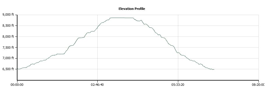
Distance: 11.6 Miles
Vertical Gain: 2350'
Group Size: 3
Hike Rating: Easy Moderate Hard Strenuous

 GPX for
this trip
| Start Coordinates: | N 38 55.860 W 120 19.301 | End Coordinates: | Same as Start Coordinates | ||
| Car Shuttle Req'd: | No | Parking Directions: | Take Highway 50 to Ice House Road. Head north on Ice House for about 17 miles until you reach the turnoff for Van Vleck Bunkhouse (Cheese Camp Road.) Follow this road for a little over 5 miles until you get to the Van Vleck Trailhead parking area. | ||
| Hazards of Note: | Steep dropoffs Long sections with little shade Significant early elevation gain |
Crowd Factor: | Limited. Might see a person or two up to Forni Lake, but probably nobody up to the peak. | ||
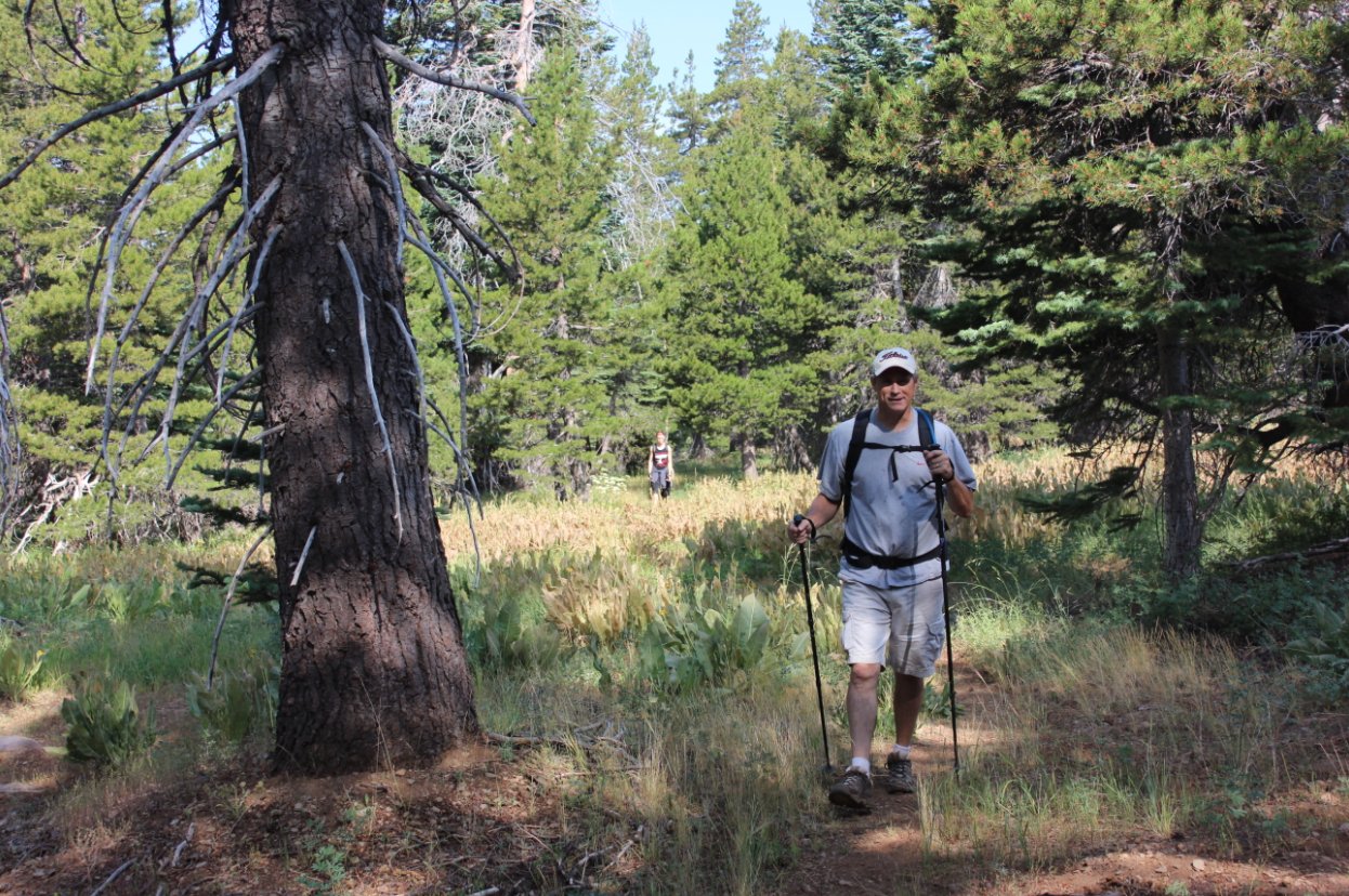
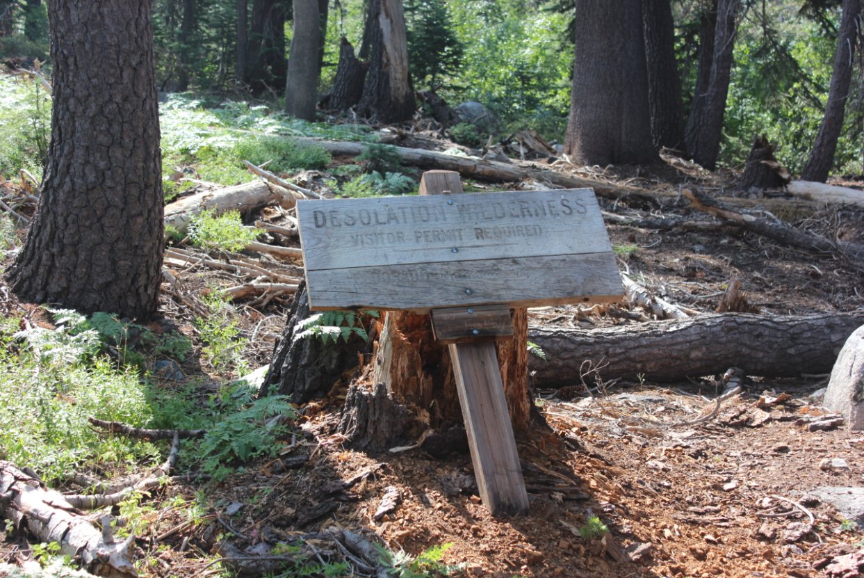
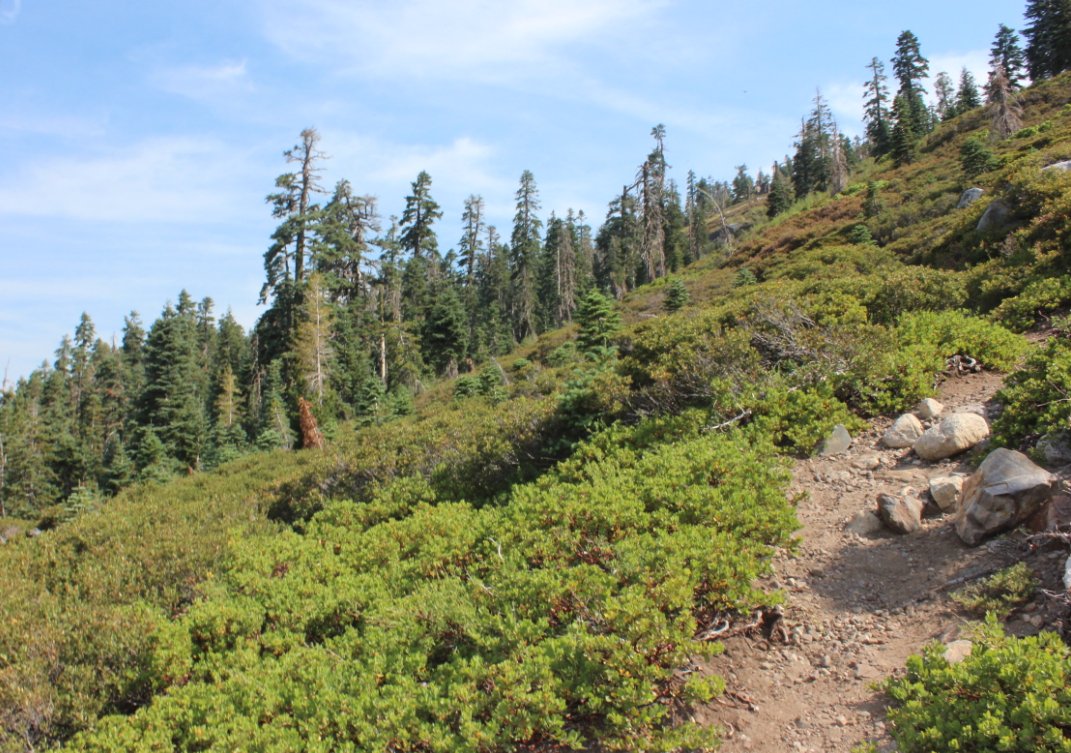
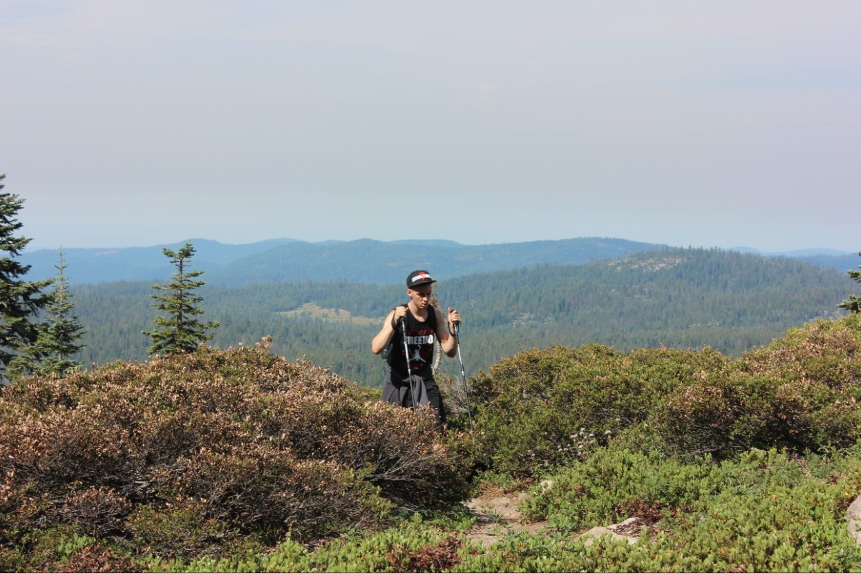
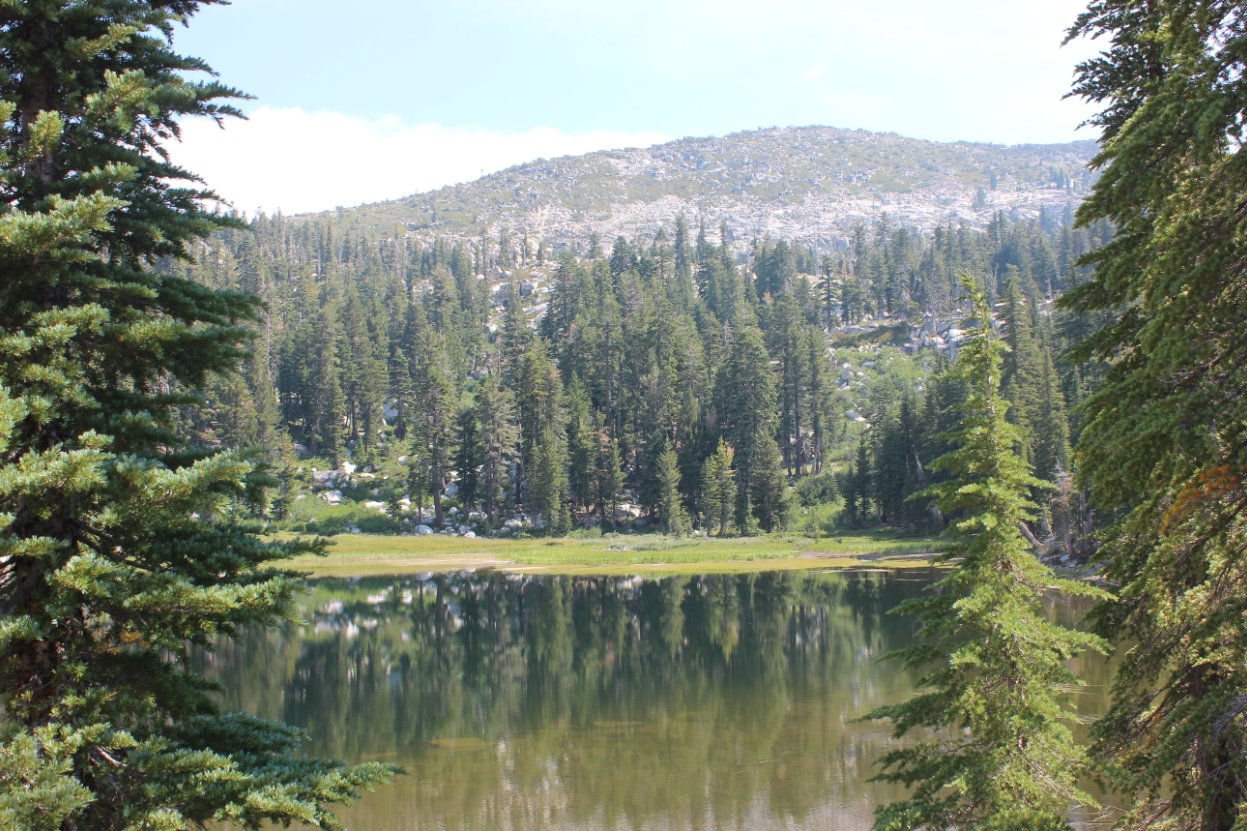
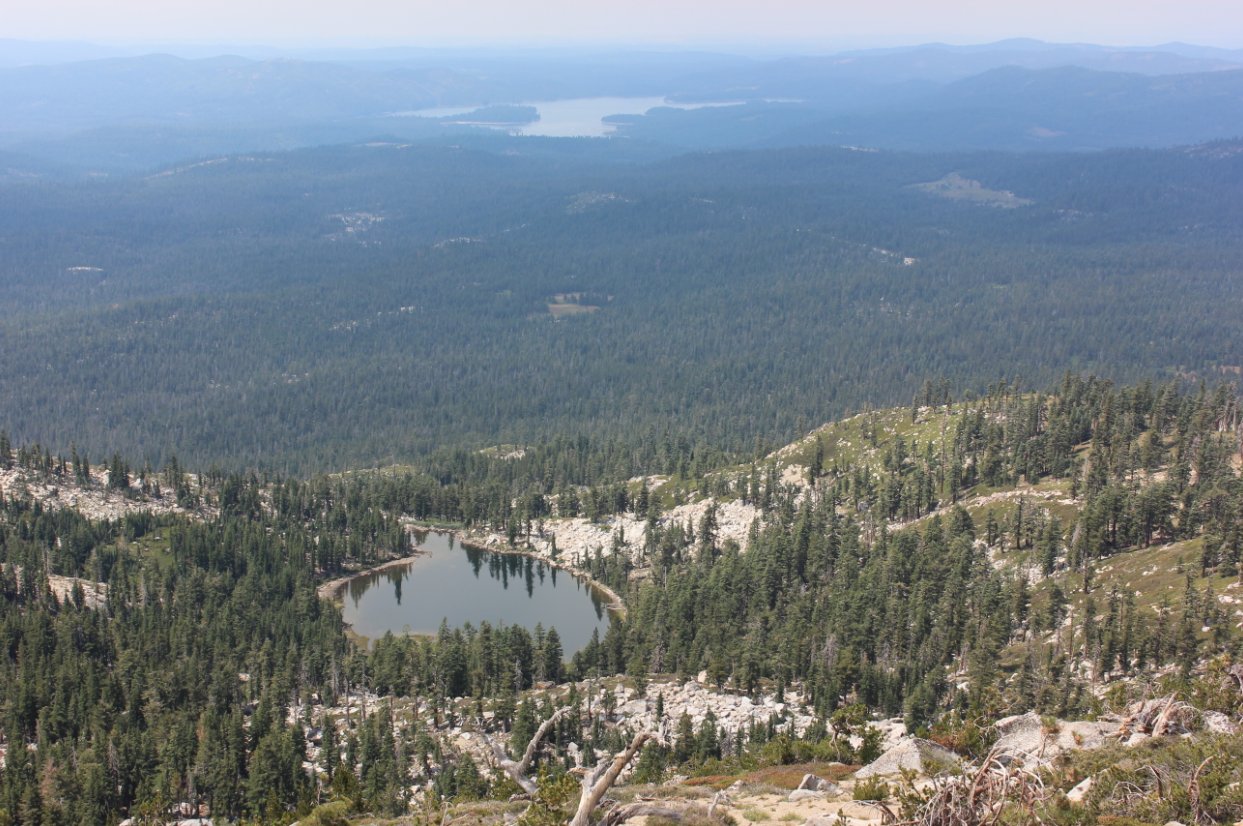
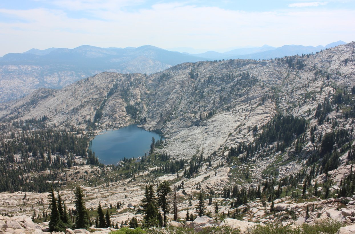
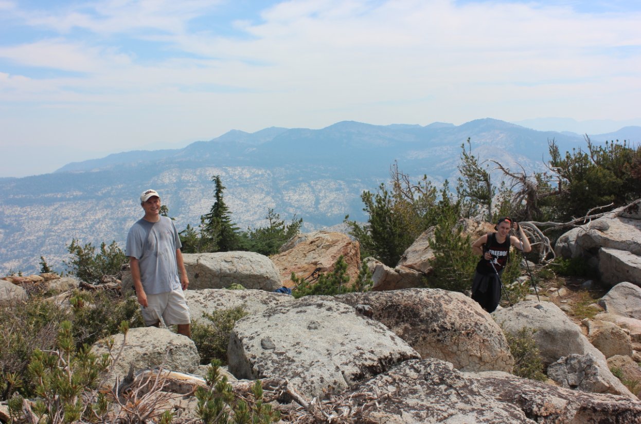
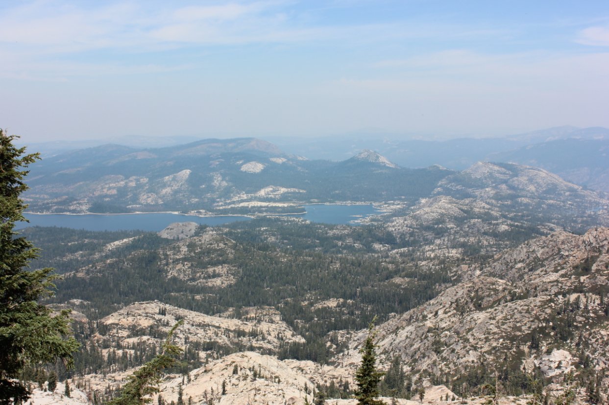
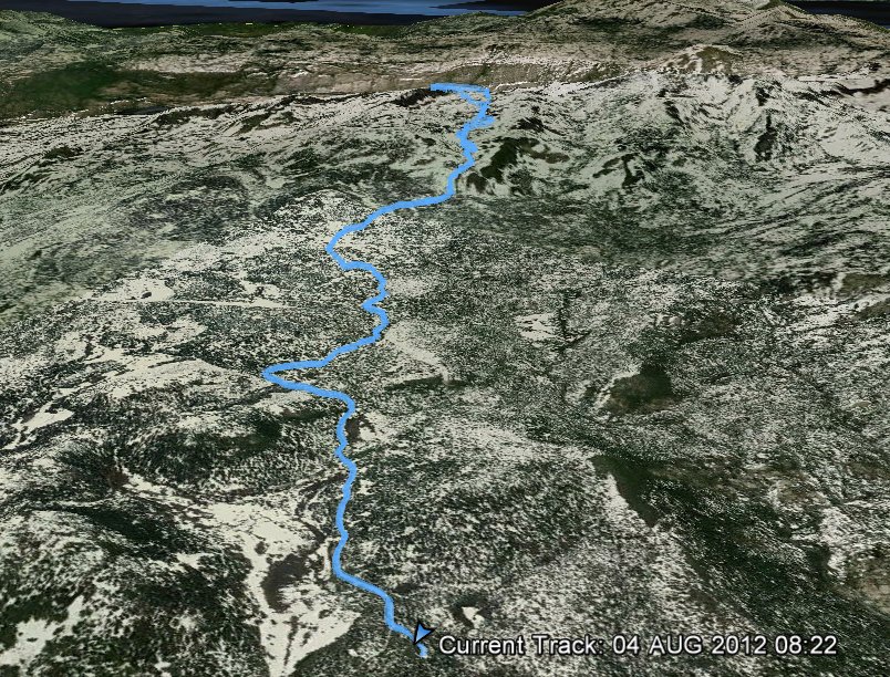
| General Notes: From the Parking Area head back to the north and then take the Tell's Creek trail toward Forni Lake. This first part of the hike is about 5 miles through a long meadow, but as soon as you hit the Desolation Wilderness boundary, the steepness begins in earnest. There is a climb of about 1/2 mile to Forni Lake, and then skirting around the south shore make your way cross country up to the ridgeline between Tell's Peak to your left and McConnell Peak to your right. Spectacular views into Rockbound valley at Highland Lake and beyond await as you attain this ridge. Finish your trek to the peak to the north for full 360 views around the entire area, including Loon Lake to the north and Lake Tahoe to the east. |
|||||
