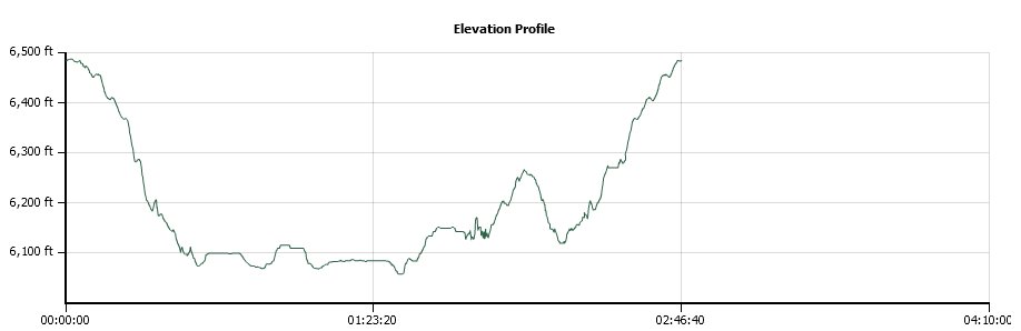
Distance: 5.0 Miles
Vertical Gain: 575'
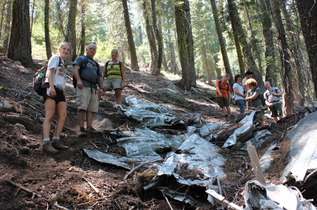
Group Size: 8
Hike Rating: Easy Moderate Hard Strenuous
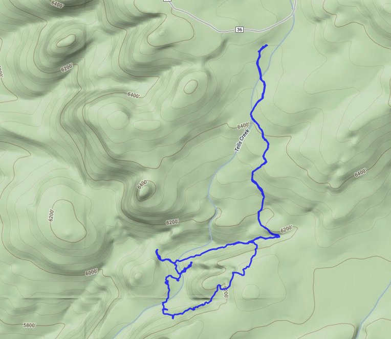
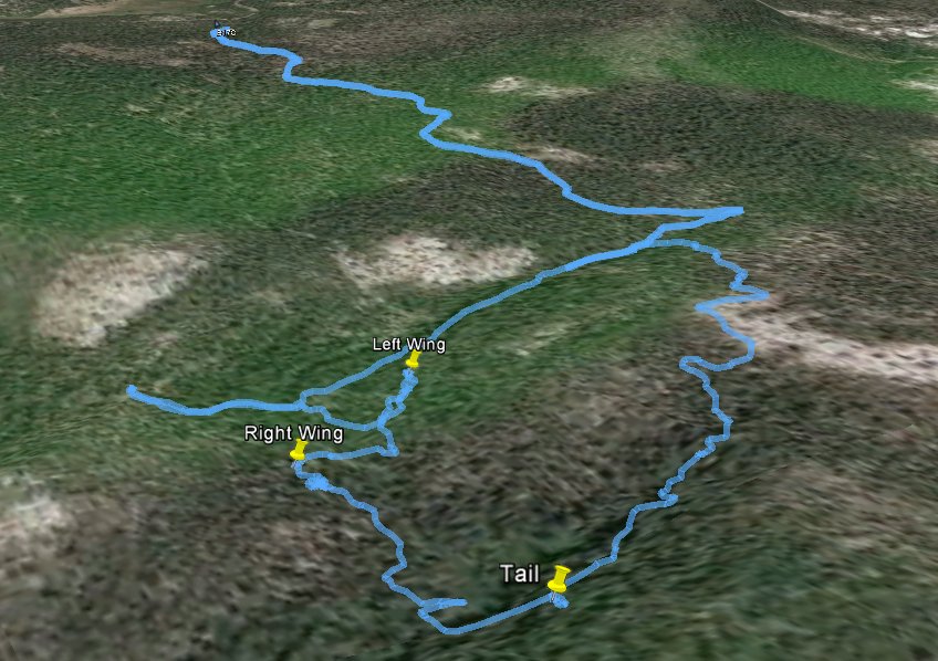
 GPX for
this trip
GPX for
this trip
| Start Coordinates: | N 38 55.860 W 120 19.301 | End Coordinates: | Same as Start Coordinates | ||
| Car Shuttle Req'd: | No | Parking Directions: | Take Highway 50 to Ice House Road. Head north on Ice House for about 17 miles until you reach the turnoff for Van Vleck Bunkhouse (Cheese Camp Road.) Follow this road for a little over 5 miles until you get to the Van Vleck Trailhead parking area. | ||
| Hazards of Note: | Steep dropoffs Long sections with little shade Significant early elevation gain |
Crowd Factor: | Limited | ||
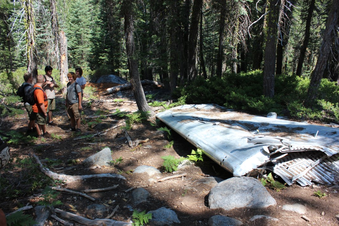
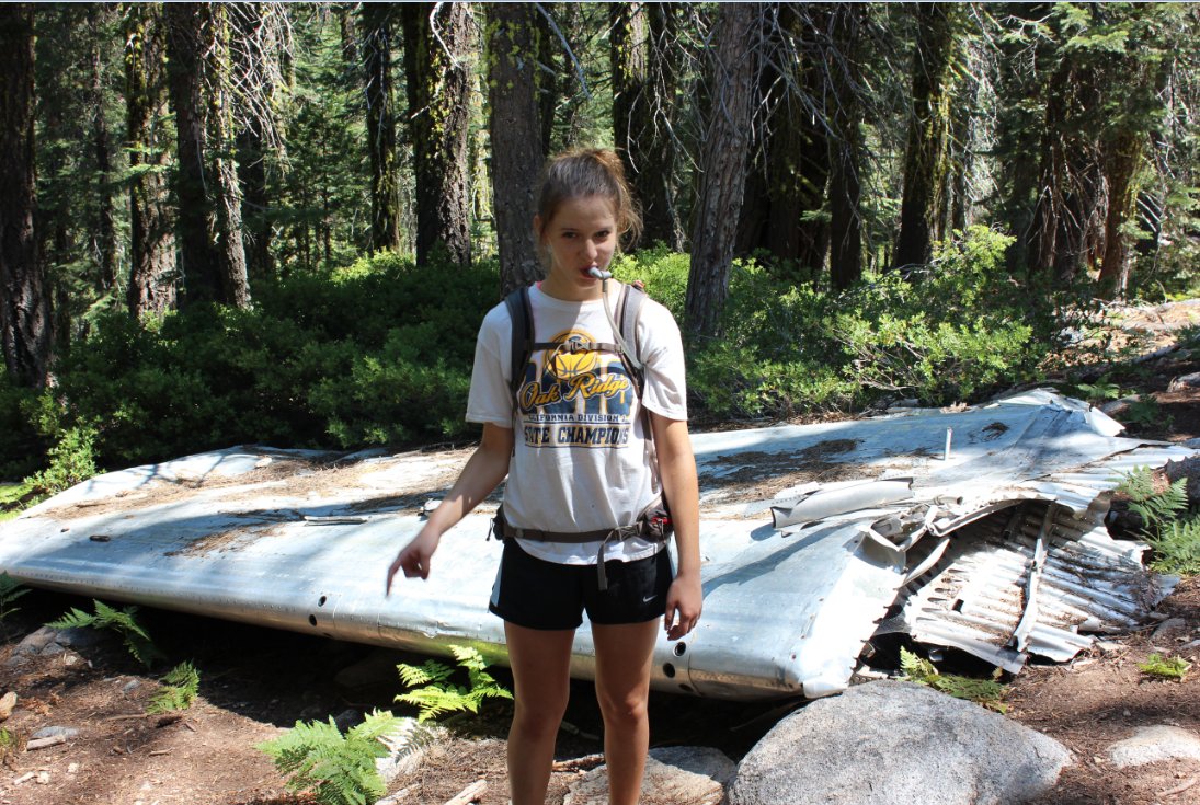
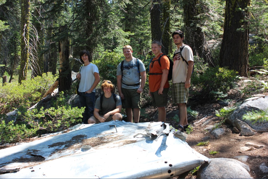
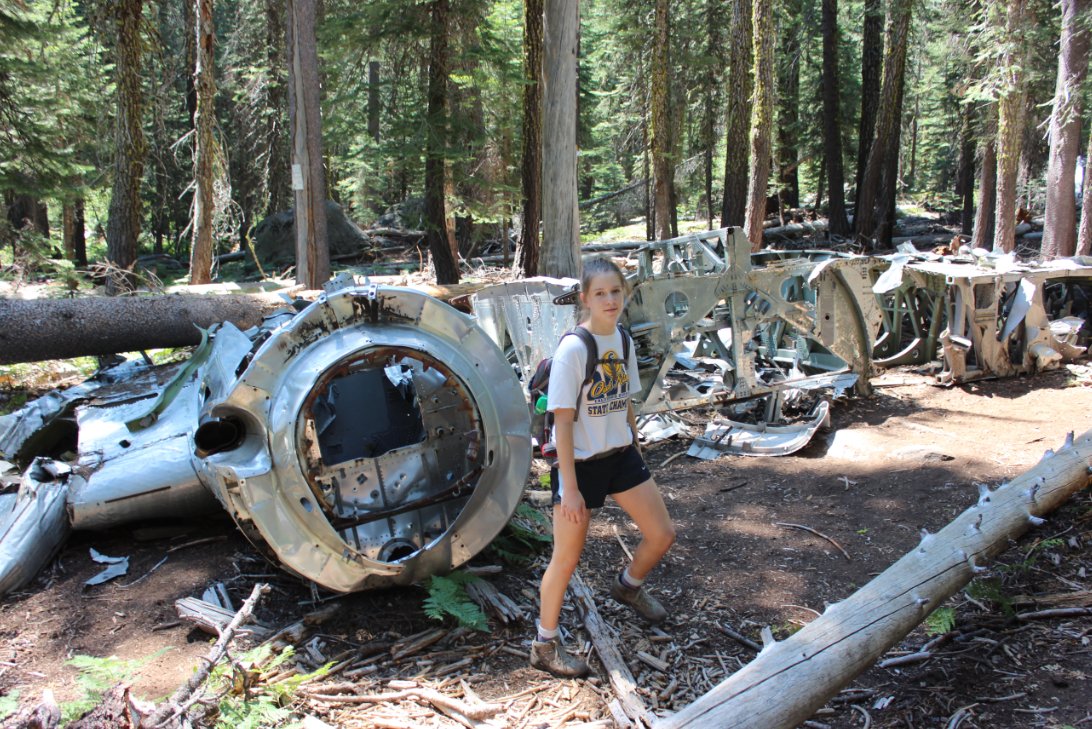
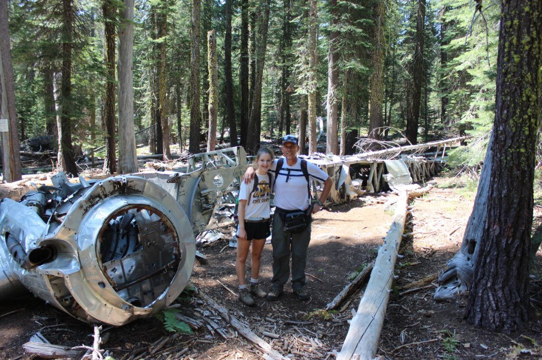
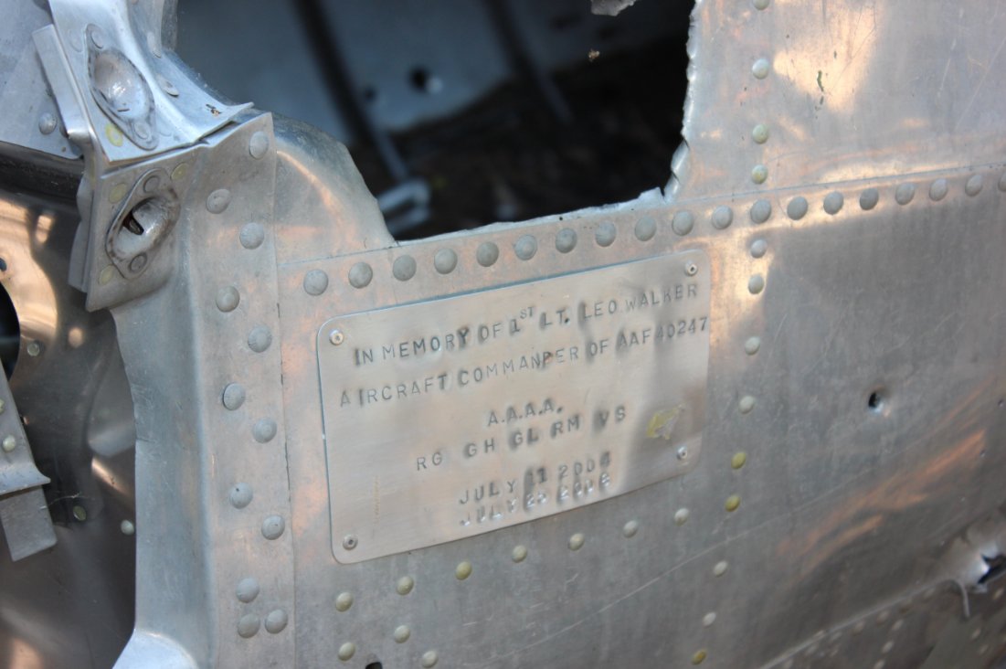
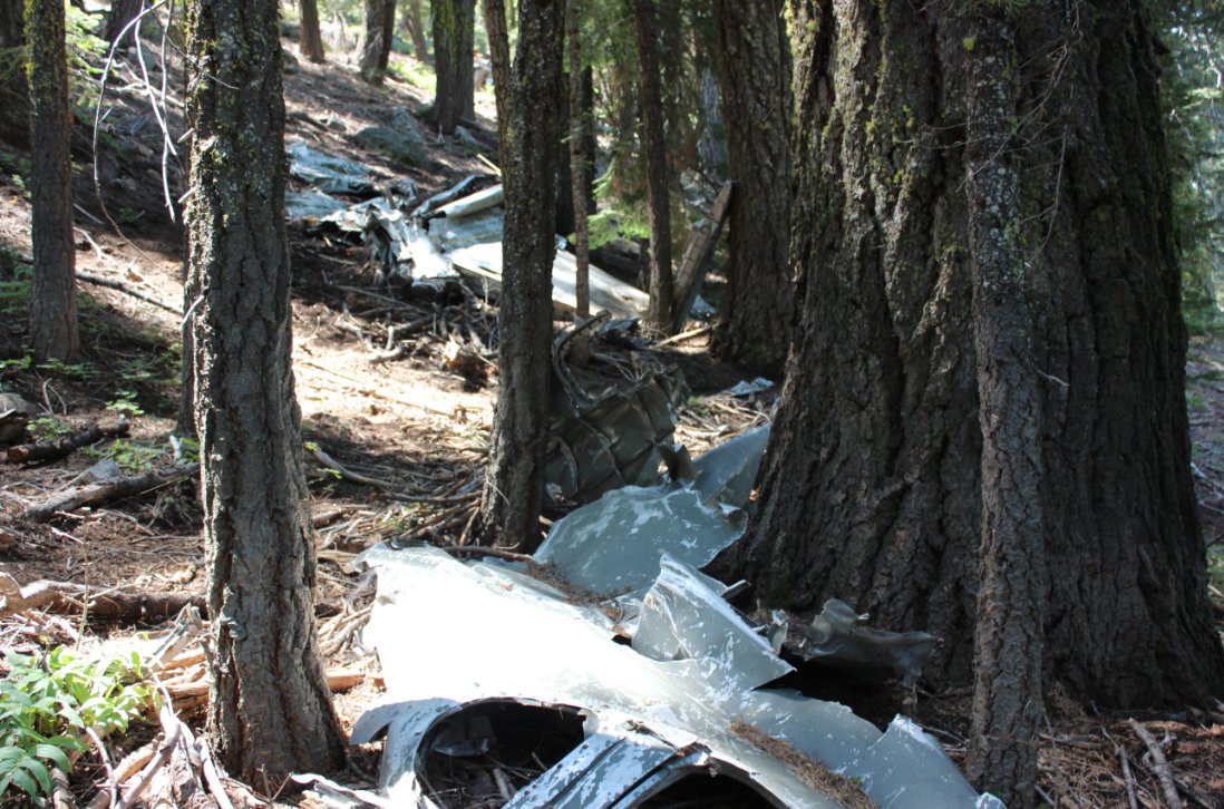
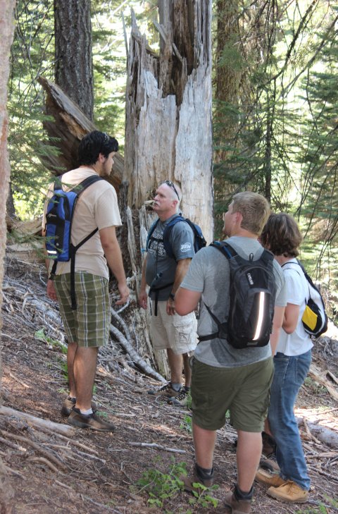
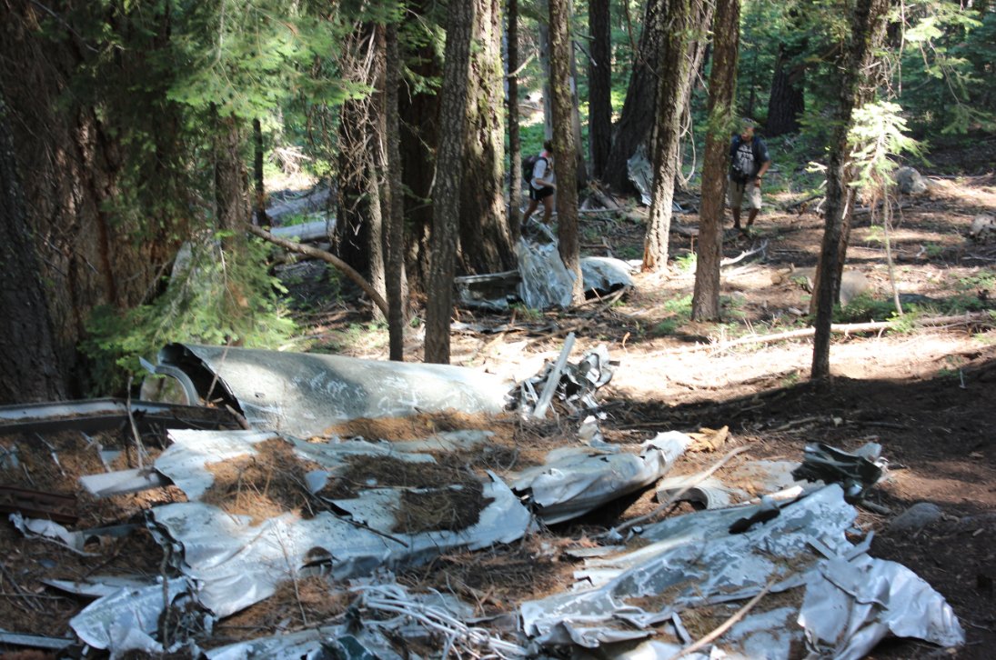
| General Notes: Head south from the parking area past the Tells Creek Equestrian Camp sign to find the trailhead. It heads south for about a mile, and then cuts to the right to head toward Sun Rock. The remnants of the airplane parts are scattered throughout the area south of the creek. |
|||||