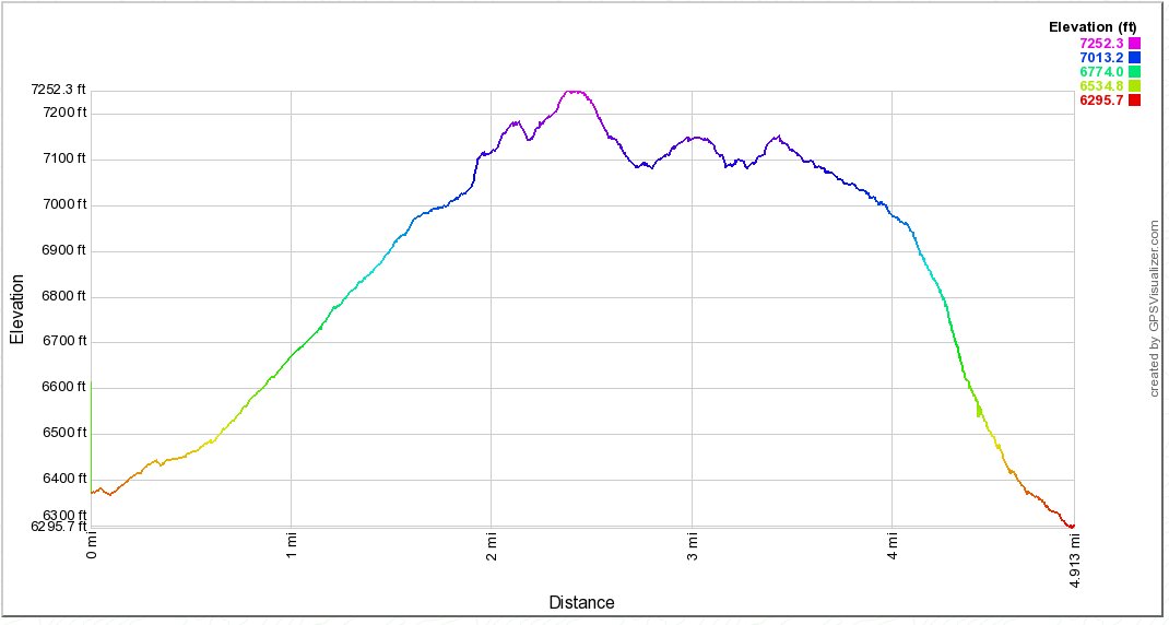
Distance: 5.0 Miles
Vertical Gain: 1000'
Group Size: 2
Hike Rating: Easy Moderate Hard Strenuous

 GPX for
this trip
| Start Coordinates: | N 38 54.873, W 120 01.487 | End Coordinates: | Same as Start Coordinates | ||
| Car Shuttle Req'd: | No | Parking Directions: | Take
Highway 50 to the South Lake Tahoe "Y" at the intersection of Highway
50 and Highway 89. Turn left onto Lake Tahoe Blvd. Turn
right on Julie Lane and then turn left on Gardner Street.
Continue on Gardner all the way down to where it bends 90 degrees to
the right. Pass Panther Lane and park on the right side of the
road before Wentworth Lane. Trailhead is across from Panther Lane
to the north of Gardner Street. |
||
| Hazards of Note: | Trail navigation difficulties during
snow covered months. Many possible side paths which can easily
lead to unintended destinations. |
Crowd Factor: | Moderate. This is a hiking area
with many access points close to a popular neighborhood. You will
have company along most sections of this trail in the non winter months
and possble snow shoe enthusiasts in the winter. |
||
| General
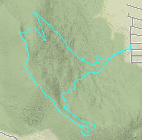
Notes: From the parking area, cross the street and find the trailhead across from the end of Panther Lane. Once you pick up the trail, you will reach a junction with three trail options within the first quarter mile. To head to the top of Tahoe Mountain continue straight on this path and begin a number of zig zag switchbacks up the mountain. When you get near the top, you can continue on the trail or take a shortcut up to the top by heading straight up to reach the ridgeline. Head due south and you will pick up the 'road' up to the top of the mountain from further down to the southwest. From the top you have the choice to head to the west to pick up Tahoe Mountain road as an endpoint, or to the south to continue down the mountain to pick up the bike trail which parallels Lake Tahoe Blvd to pass by South Lake Tahoe High school and then meets back up at the junction passed at the beginning of the hike. The way down on this GPS track was during the winter and was cross country meandering following no trail. |
|||||


