
|
TRT
- Segment 6 - Big Meadow to Echo Summit
|
|
Trip Date: 07/28/2015
Distance: 16.5 Miles
Vertical Gain:
2700'
Group Size:
3
Hike Rating: Easy
Moderate
Hard
Strenuous |
 GPX for
this trip
|
|
|
Start Coordinates: |
N 38 47.367, W 120 00.017 |
|
End Coordinates: |
N 38 48.845, W 120 02.048
|
| Car Shuttle
Req'd: |
Yes |
|
Parking
Directions: |
For parking at Big Meadow at the start of the hike, take
Highway 89 south from Meyers (Hwy 50) or north from Pickett's Junction
(Hwy 88) to the parking area for the Big Meadow trailhead on South
Upper Truckee Road on the north side of the highway. Park in
the
paved parking area.
For parking at Echo Summit, take Highway 50 to Echo Summit, and find
the TRT/PCT parking area marked on the south side of the road at
"Adventure Mountain" recreation area. |
| Hazards of
Note: |
Bikes on the first six mile
segment, before turning off onto the Pacific Crest Trail for the last
10 mile.
Extended rocky section over the last four miles with some tenuous
footing. |
|
Crowd Factor: |
Moderate to High. On
a tuesday during this hike, our group came into contact with no less
than 60 other people along the trail. |
General Notes:
From the parking at Big Meadow, head back toward the road, Highway 89,
and you will have to cross the road almost immediately and head toward
a Tahoe Rim Trail kiosk on the other side of the road.
The trail will start switchbacking up for a little ways, and
then within about half a mile you will reach the northern end of Big
Meadow. The trail crosses a small wooden bridge across a
small stream, and then heads generally south through the large open
meadow. There are nice views toward the west of Little Round
Top summit. After passing through the meadow the trail heads
into a forested section for the next few miles. At Round Lake
the trail opens up with a nice view of Mt. Tallac far to the north, and
then it heads back into the forest until the trail meets up with the
Pacific Crest Trail (PCT) at around the 6 mile mark.
This junction is the southernmost point on the entire Tahoe Rim Trail,
at which point you will start to head north again through Meiss Meadow.
About 2 miles from here is the wonderful Showers Lake, a
great spot for lunch at just about halfway through the day.
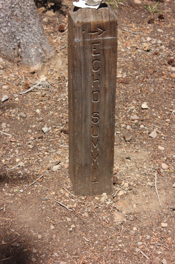
Every map I have seen shows the PCT continuing around Showers
Lake to the west, but this is incorrect and actually heads around the
lake on the eastern side. There is a small sign pointing to
Echo Summit at this spot which will guide you in the correct direction.
This next section of trail is one of the most spectacular along the
entire TRT, with views south to Red Lake and Steven's Peaks, down into
Lake Valley and Lake Dardanelle, and even the southern end of Lake
Tahoe in a couple of spots. Early in the spring and summer
this area is also a blaze of wildflower color, and there were still
many out even in late July on this hike.
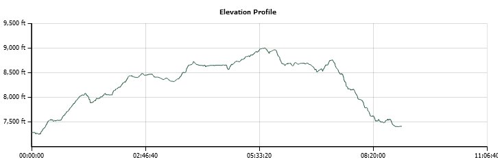
Once you reach the high point of the hike, at exactly 9000' in
elevation at the end of the climb from Showers Lake, you will see a
small junction sign for Schneider Camp, which would lead you around the
base of Little Round Top mountain to the west and then south.
You will continue straight north, and head mostly back into
the forest for the next few miles, passing junctions to the left first
to Sayles Canyon, and then Bryan Meadow. Both of these will
take you to a trailhead near the Sierra at Tahoe ski area.
The last four miles head mostly downhill, along some very
rocky trail that needs careful attention to footing along the way.
The segment finishes at the parking area for Adventure
Mountain just at Echo Summit.
|
|
|
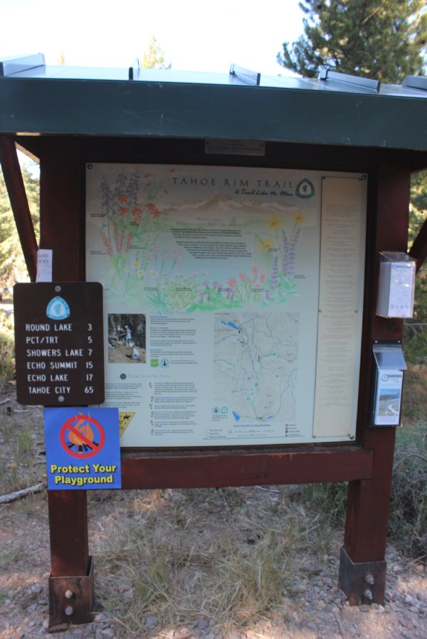
One of the very helpful TRT
kiosks that are available at most of the official trail heads.
They include good information as well as segment maps that
you can take along with you with details of the particular part of the
hike. |
 |
|
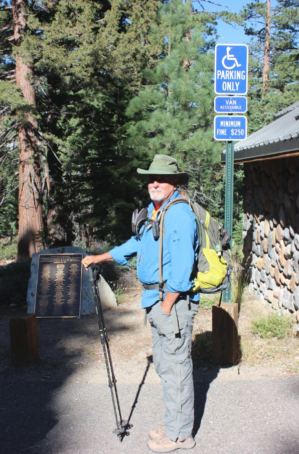
My hiking partner Mark at the
Big Meadow parking area with a TRT dedication plaque in the background.
|
 |
|
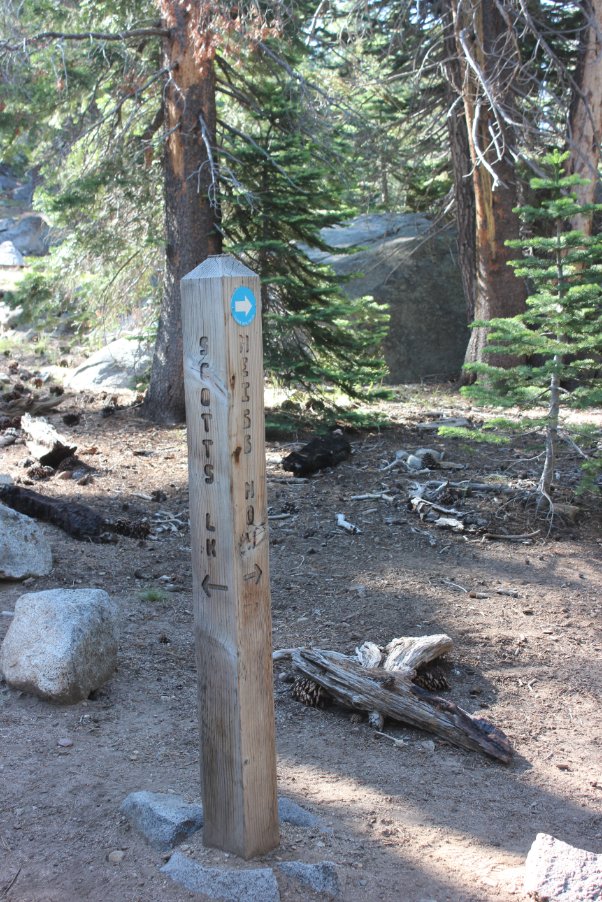
Across the highway, there is a
junction pretty quickly into the trip which will send you either to Big
Meadow (the correct way,) or to Scott's Lake. The Scott's
Lake trail is a pretty hike as well, but not the way you want. |
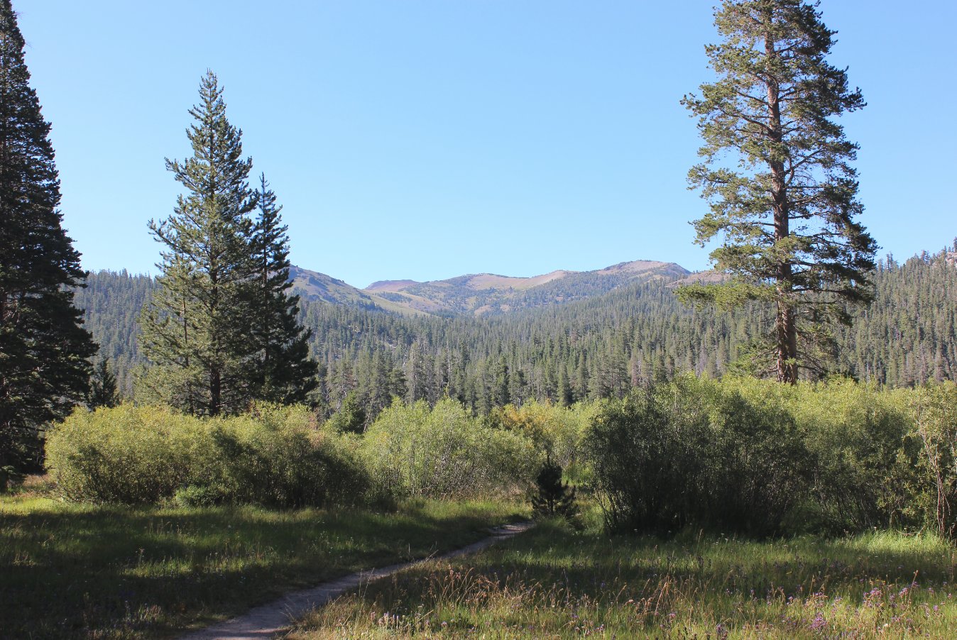
 |
|
View south toward the Carson
Pass area near the beginning of Big Meadow. |
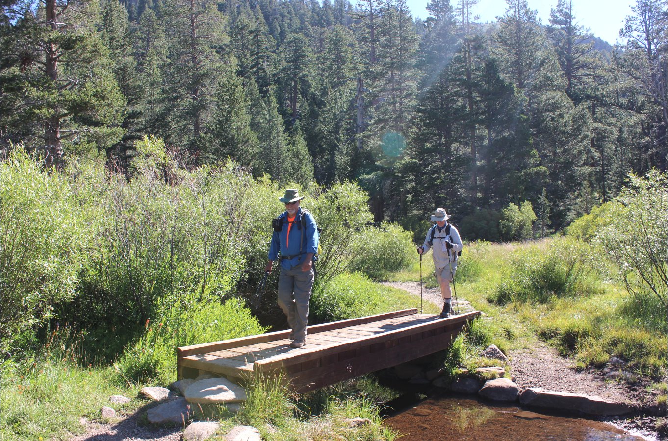
 |
|
Mark and Don crossing a small
stream near the north end of Big Meadow. |
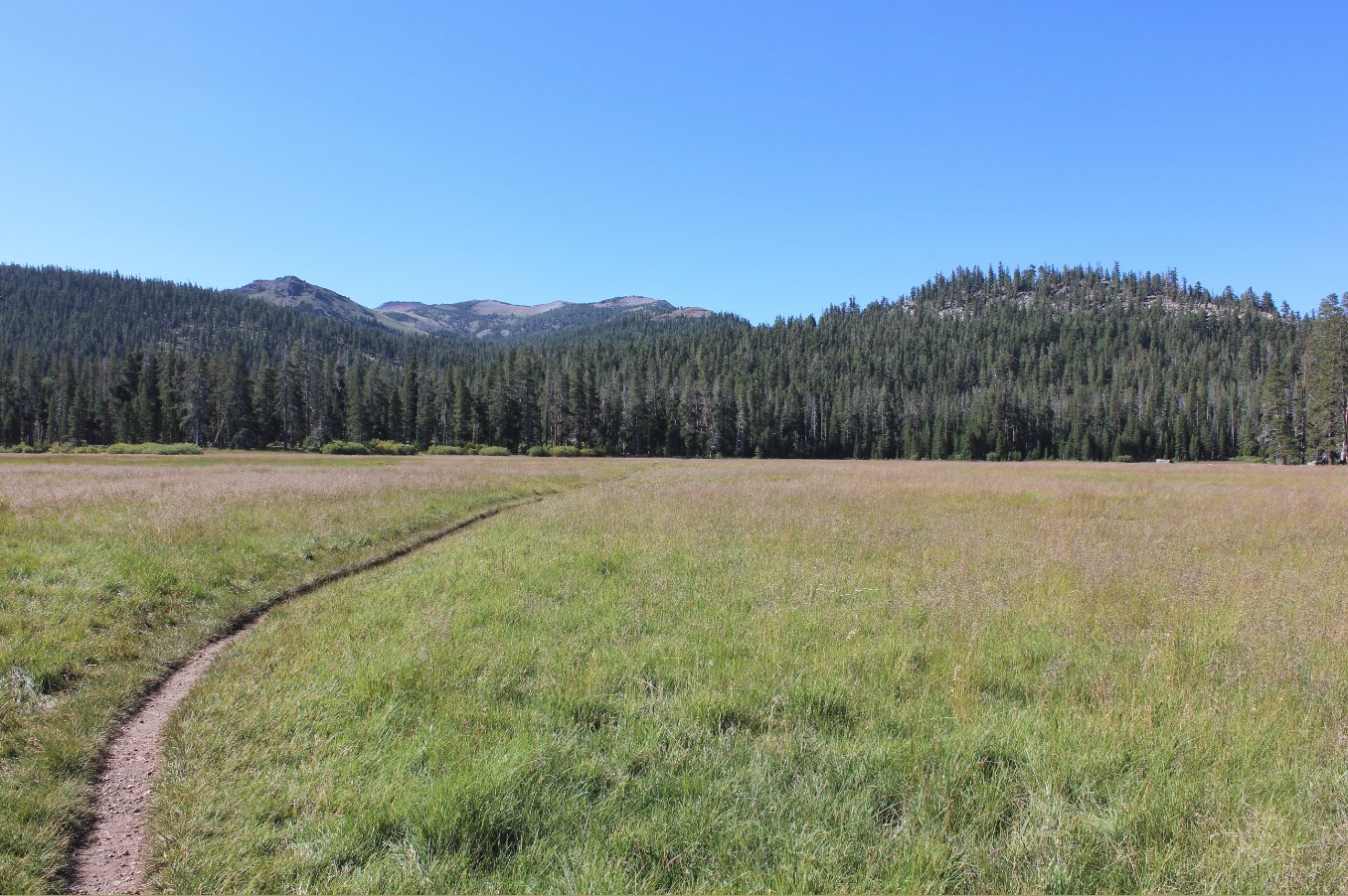
 |
|
A look at the trail through
Big Meadow heading south toward Carson Pass in the distance. |
 |
|
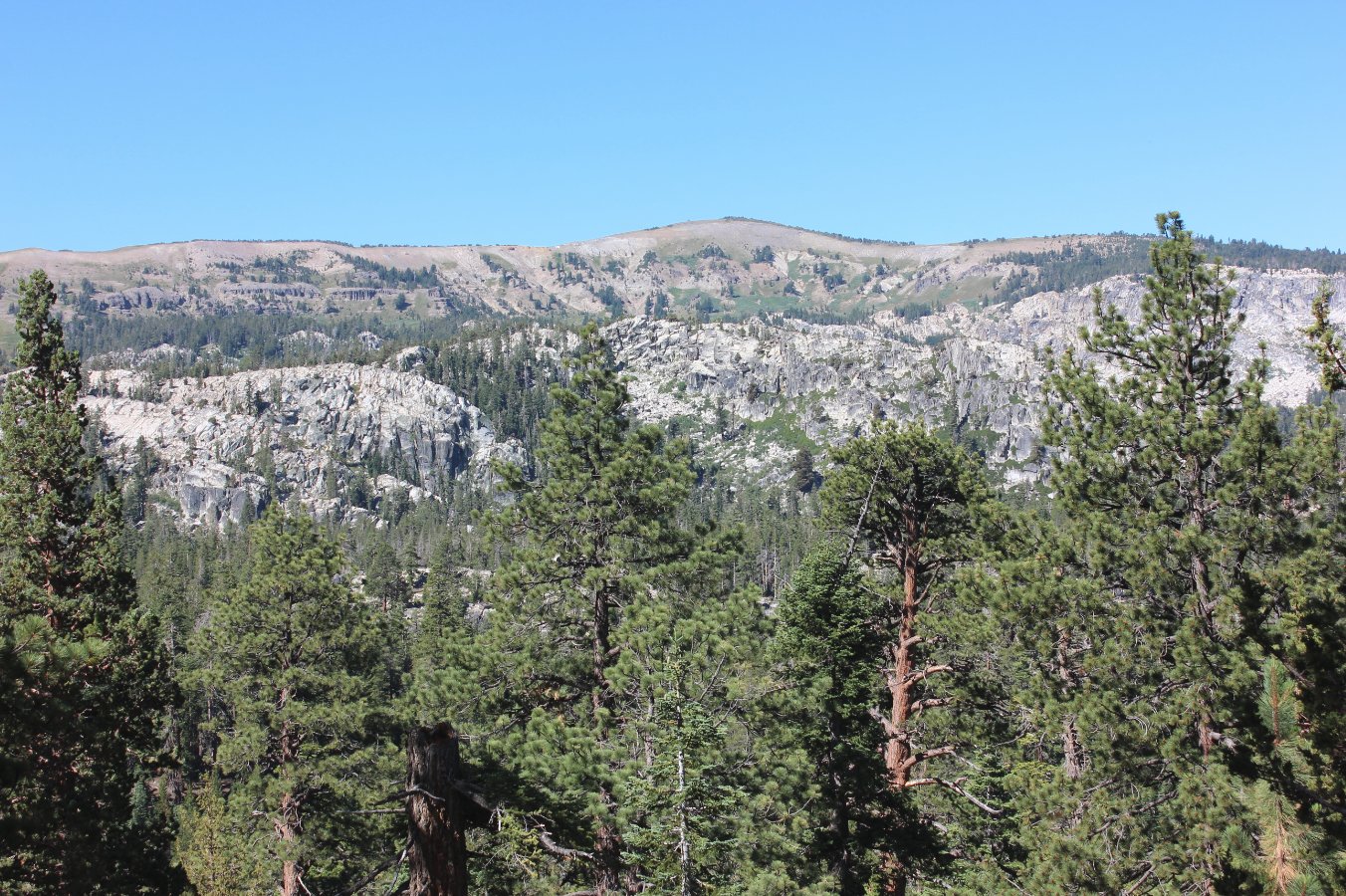
A view of Little Round top to
the west from along the Big Meadow trail. The second section
of trail later in the day heads north right along the top of the
lighter granite seen in the distance. |
 |
|
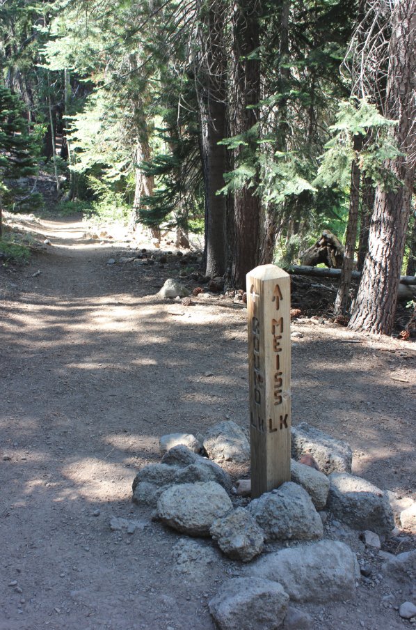
A little after Big Meadow is a
junction with the Lake Valley trail, which heads off to the west and is
the primary way to get to the popular Lake Dardanelles in the middle of
Lake Valley. |
 |
|
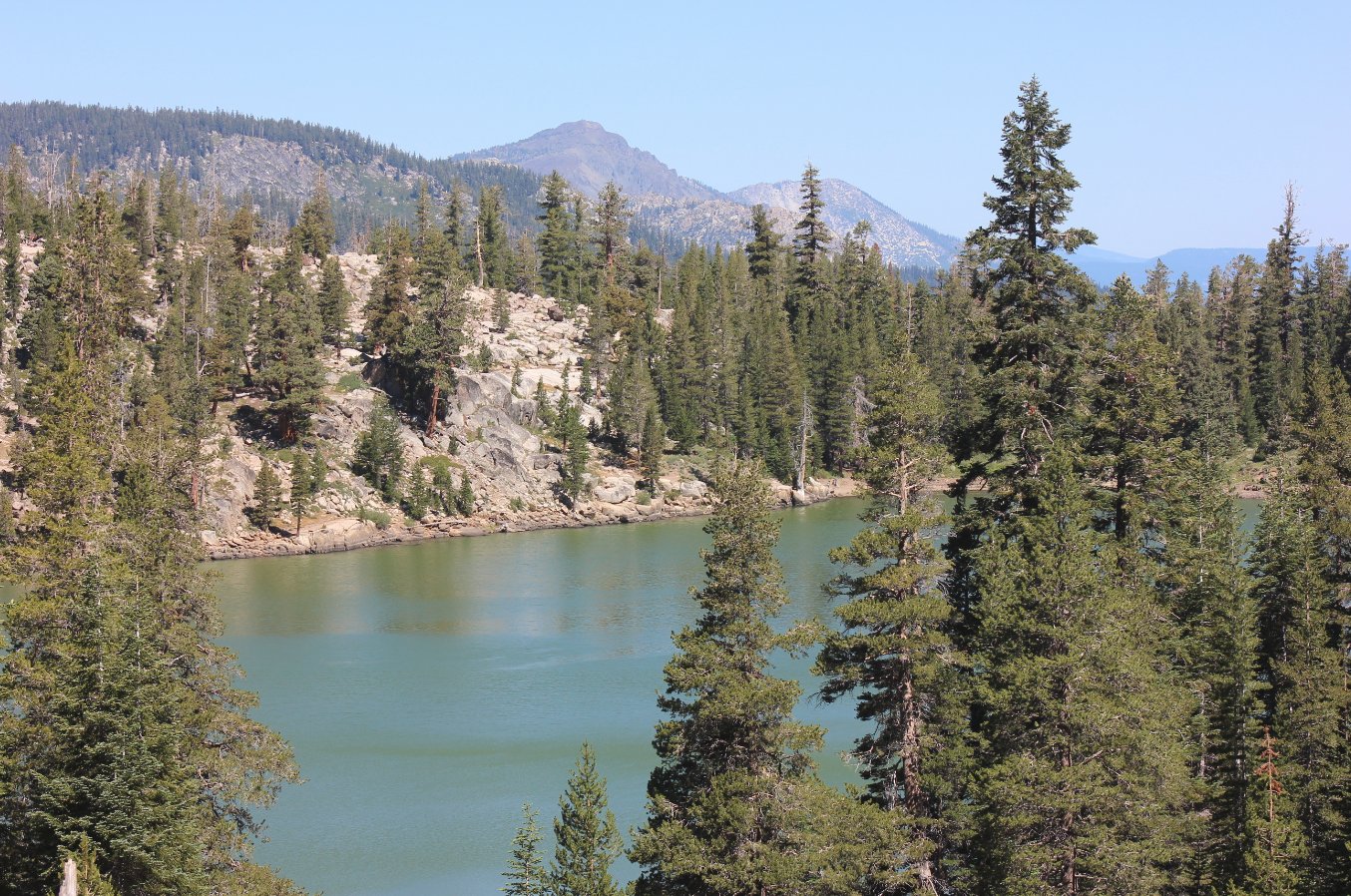
Looking down at Round Lake
after a quick stop just before this spot. Mt. Tallac in the
middle of Desolation Wilderness is visible as the tallest peak in the
distance. |
 |
|
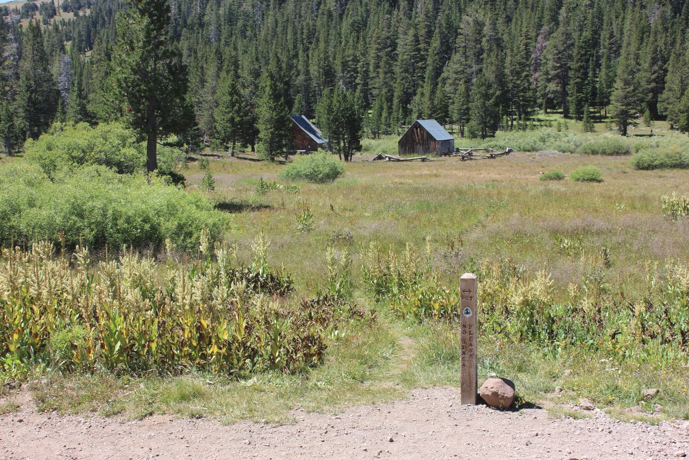
The junction of the Big Meadow
Trail with the Pacific Crest Trail is right near the Meiss family cabin
structures here in the middle of Meiss Meadow. This is where
the trail turns to the north. |
 |
|
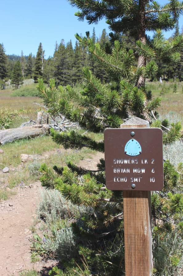
First progress indicator along
the section of trail which the TRT and the PCT both share. |
 |
|
The view back south toward
Stephen's Peak as the trail climbs out of Meiss Meadow and toward
Showers Lake. |
 |
|
The view of Showers Lake we
had while stopping to enjoy lunch at this gorgeous spot. |
 |
|
Despite what all the maps say
at Showers Lake, the trail actually goes around the eastern side of the
lake. Look for this marker to ensure you are headed along the
correct path. |
 |
|
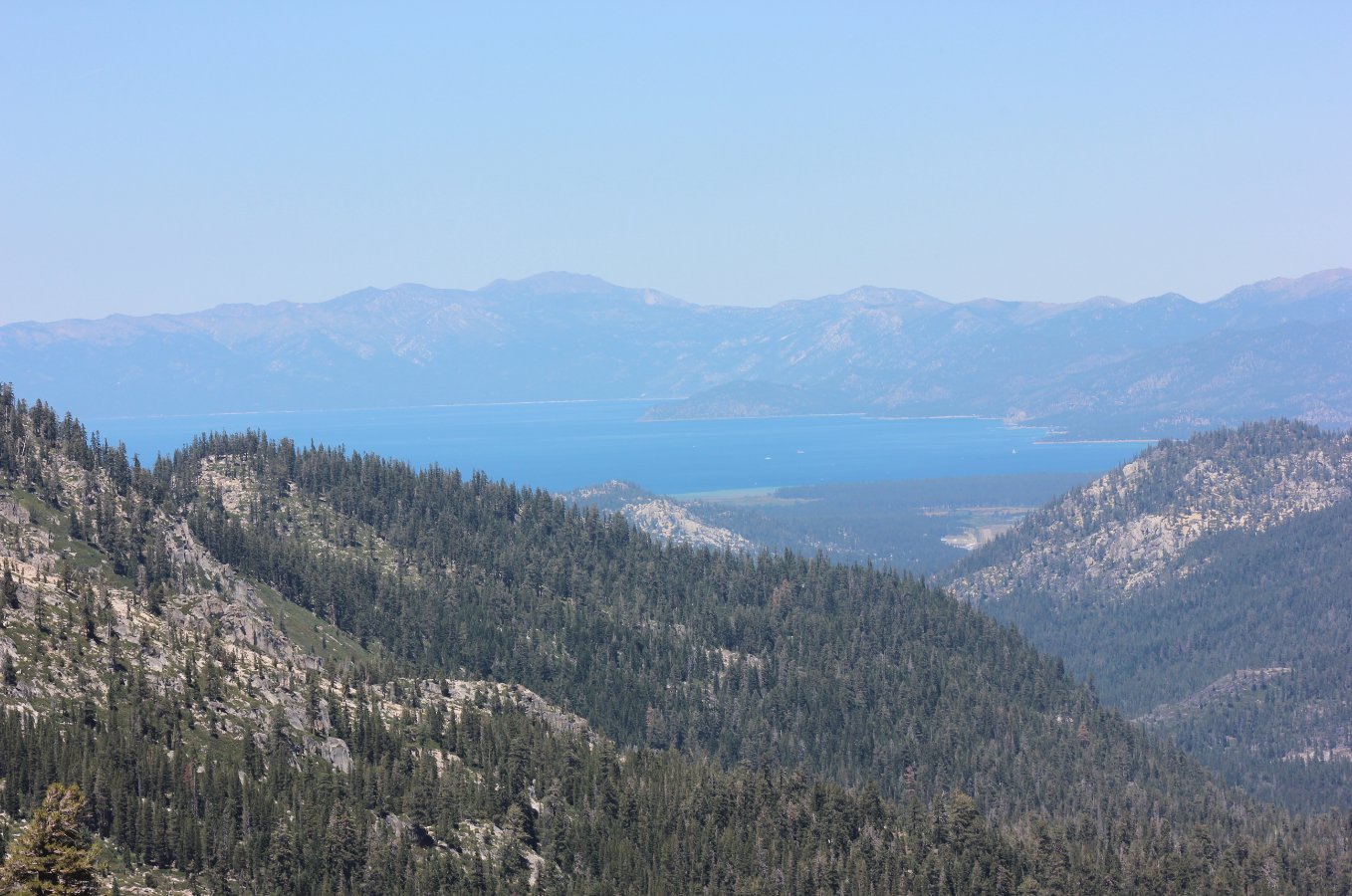
Climbing up the trail out of
Showers Lake offers the first really great view of Lake Tahoe on the
day. |
 |
|
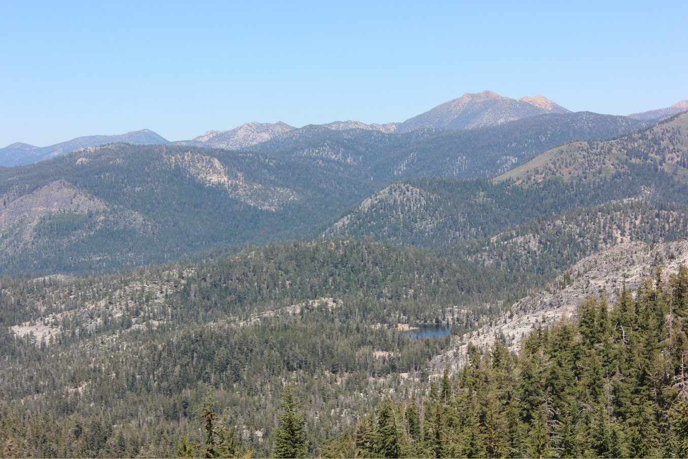
Looking down at Lake
Dardanelles in the middle of the Lake Valley below you. Much
earlier in the day was a junction off the Big Meadow trail which would
take you to this lake from the eastern side. |
 |
|
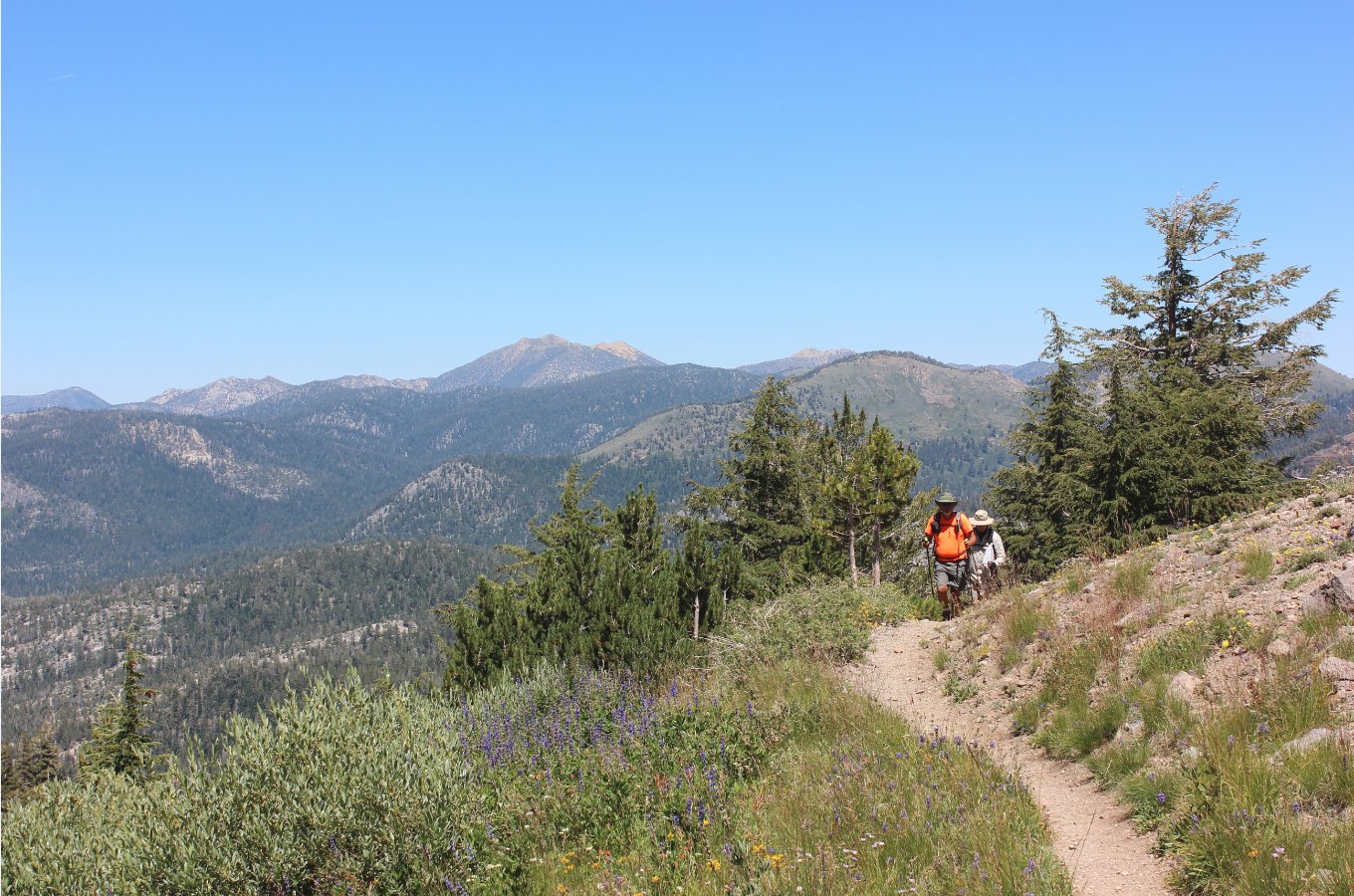
There is a significant amount
of elevation gain on this section of trail out of Showers Lake, but it
offers amazing views in all directions. |
 |
|
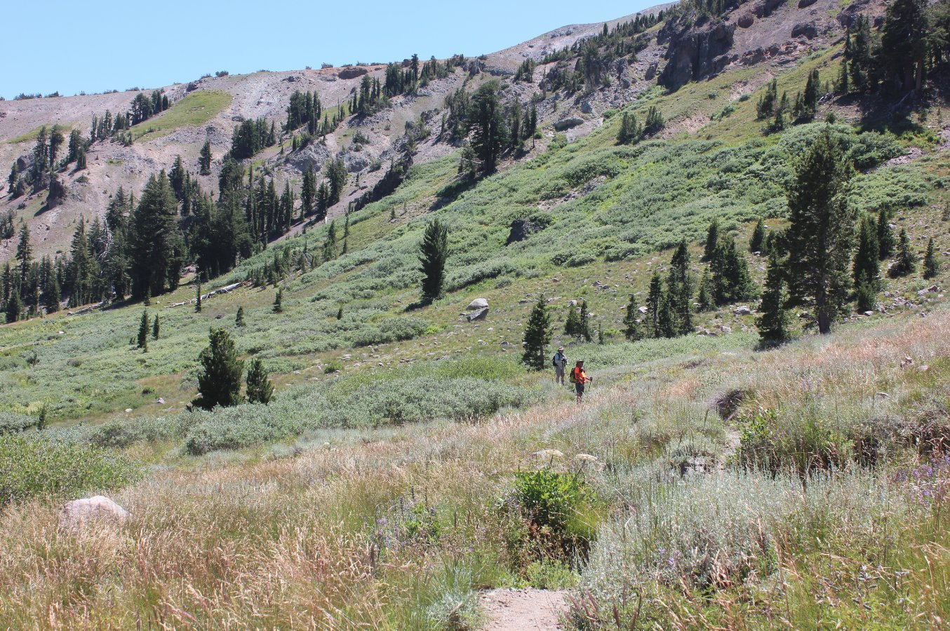
Looking back at the trail
heading up the slopes below Little Round Top Peak. |
 |
|
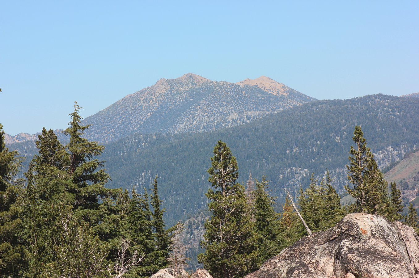
A good glimpse over at Freel
Peak and Armstrong Pass, the section of the TRT which was covered in
the segment prior to this one. |
 |
|
Nearing the very top of the
elevation for this segment, the trail starts to head back into the
forest after a long climb out in the open. |
 |
|
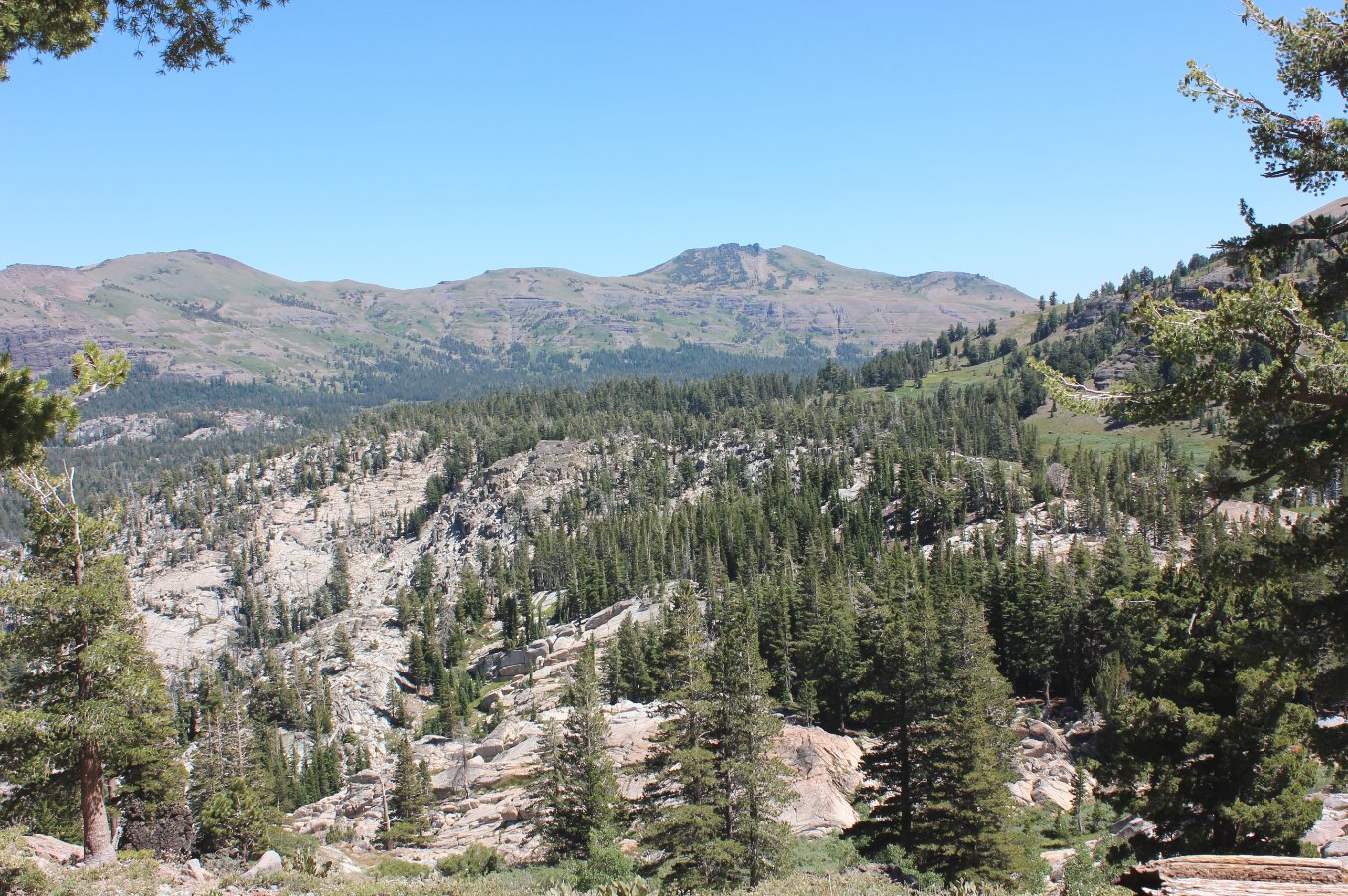
The last look into Lake Valley
before disappearing back into the forest. |
 |
|
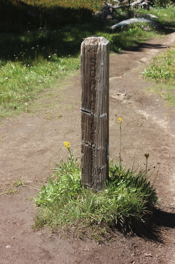
Sign for the junction of the
Schneider Cow Camp trail, which could be a bail out point for this hike
as necessary. |
 |
|
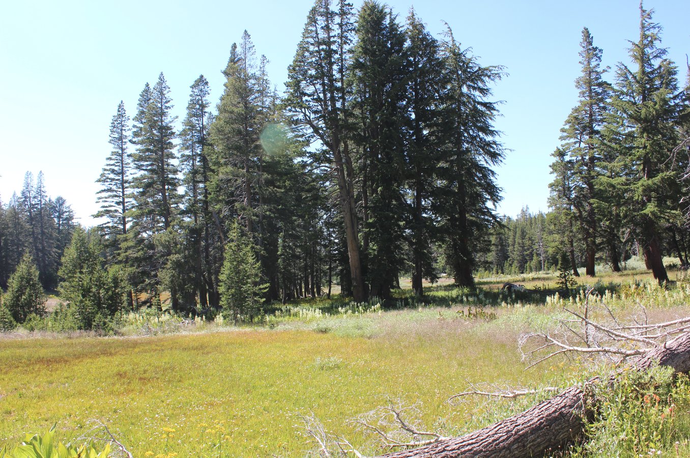
A long section of fairly
non-descript forest hiking follows for the next couple miles, but then
there are two junctions to trails first off to Sayles Canyon, and then
a mile further for Bryan Meadow, seen here on the eastern edge. |
 |
|
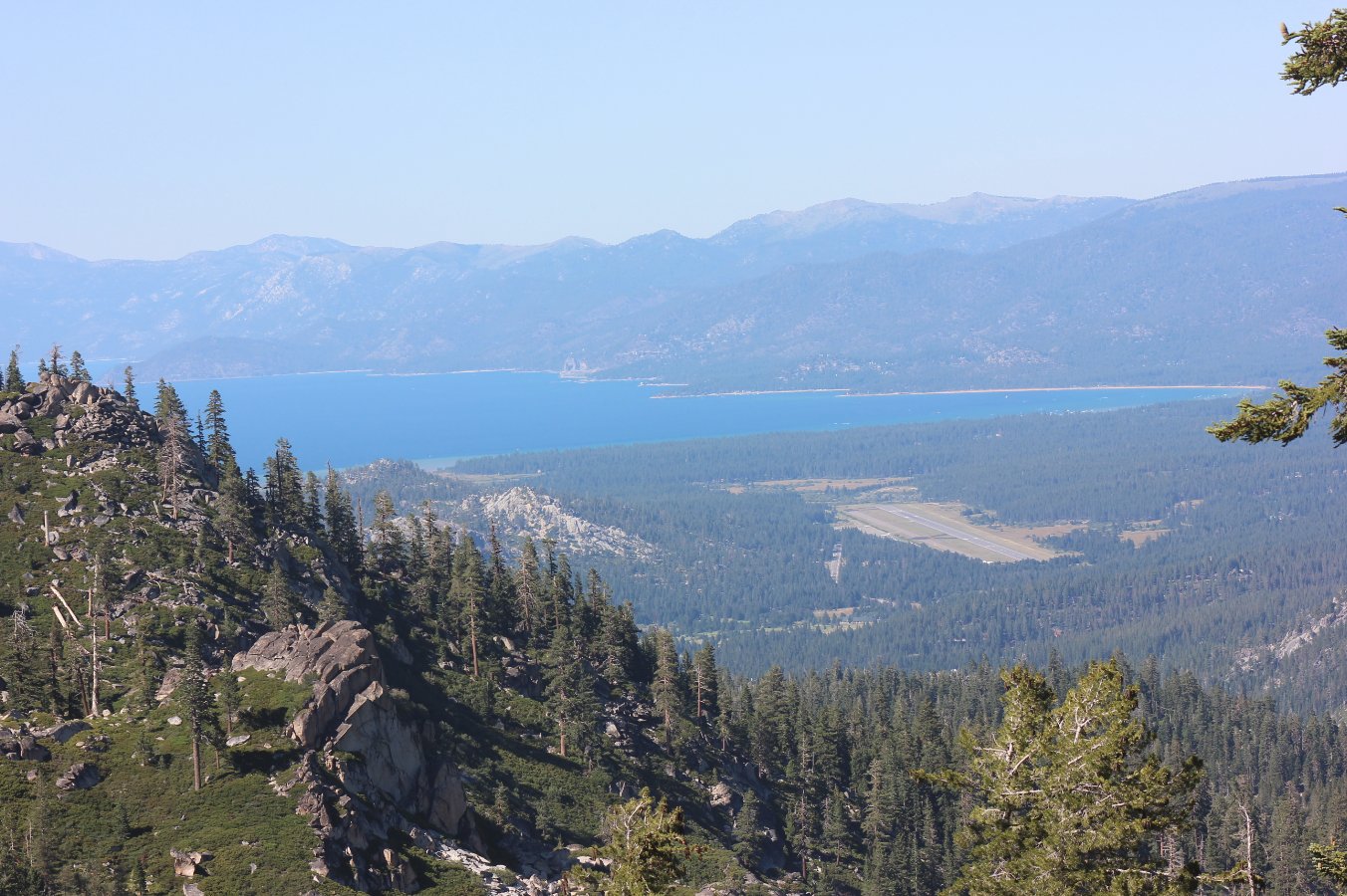
The last four miles pretty
much just head downhill rapidly, but there is one spot on a switchback
with this killer view of Lake Tahoe to the north. |
 |
|
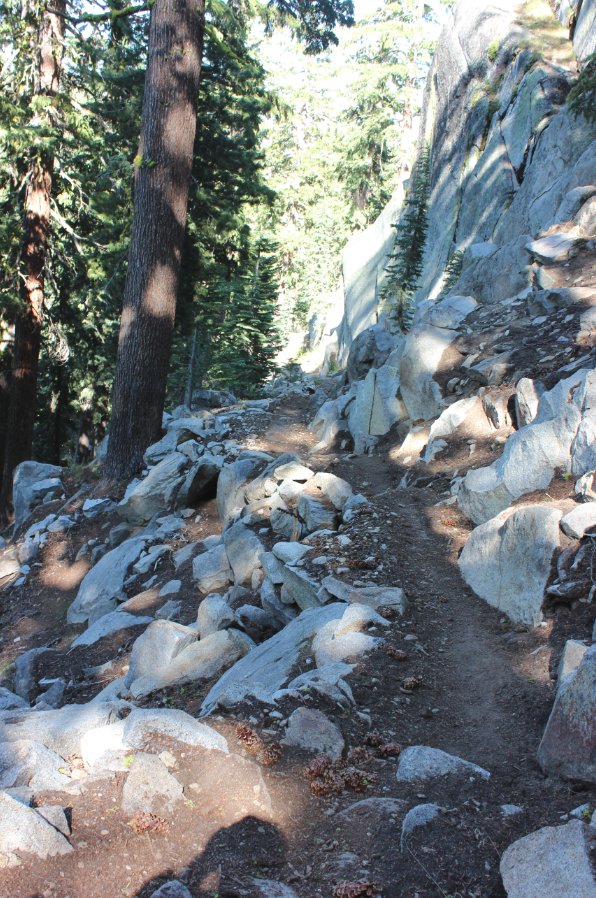
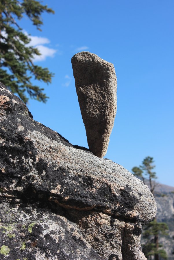
Much of this section is very
rocky, a good warm up for the next section through Desolation
Wilderness up ahead. |
 |
|
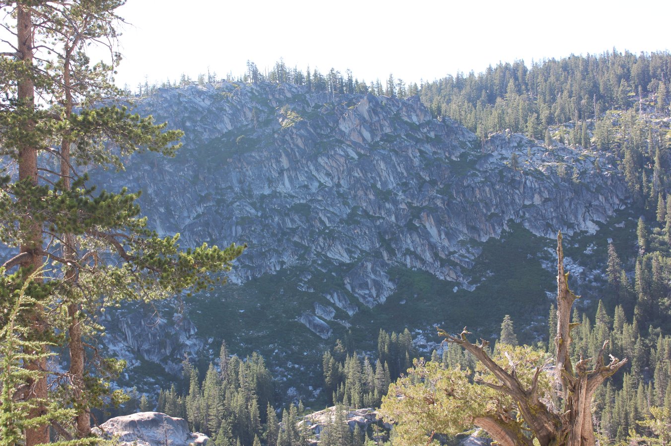
Sheer granite rock wall near
the edge of Scout Peak. |
 |
|
The first combination PCT/TRT
marker we saw, just about 1/4 mile from the end. |
 |
|
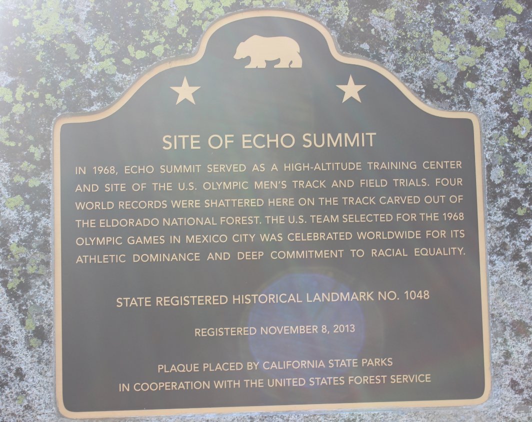
Brand new history marker at
the parking lot for Echo Summit. |
 |
|
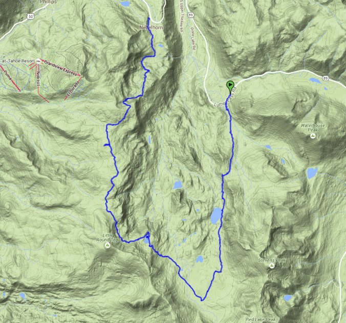
GPS track
of the hike starting in the upper right, heading down to the bottom
left and then back up again toward the top. |
 |


 GPX for
this trip

