|
|
TRT
- Segment 5a - Kingsbury South to Armstrong Pass
|
|
Trip Date: 07/07/2015
Distance: 15.3 Miles
Vertical Gain:
2900'
Group Size:
1
Hike Rating: Easy
Moderate
Hard
Strenuous |
 GPX for
this trip
GPX for
this trip
|
|
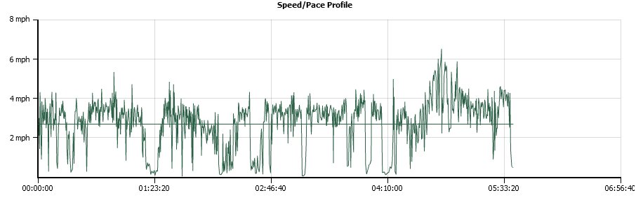 What a speed
profile looks like in a severe thunderstorm!
What a speed
profile looks like in a severe thunderstorm!
|
Start Coordinates: |
N 38 57.639, W 119 53.200 |
|
End Coordinates: |
N 38 49.823, W 119 54.042
|
| Car Shuttle
Req'd: |
Yes |
|
Parking
Directions: |
For
parking at Kingsbury South, take Highway 207 east from Lake Tahoe Blvd
for a couple of miles, and then turn right on Tramway Drive (just past
Benjamin Drive.) Follow Tramway until it bends to the left,
and then continue on Quaking Aspen Lane as it doubles back the way you
came. Find the trailhead parking area on your right at the
coordinates provided.
For parking at Armstrong Pass, make sure that you have a 4WD or high
clearance 2WD vehicle for Forest Road 51. Take Luther Pass
Road (Highway 89) to the turnoff onto Forest Road 51 exactly 1.8 miles
north of the junction of Highway 88 and Highway 89. Follow
this dirt road approximately 3.5 miles into the parking area at
Armstrong Pass. |
| Hazards of
Note: |
Changeable weather conditions.
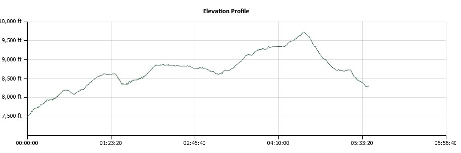
Significant elevation gain from 7500' to 9600' over the first
10 miles. |
|
Crowd Factor: |
Moderate. This is a
mixed used trail popular mountain biking area so keep an eye
out for quickly approaching
bicyclists. |
General Notes:
From the parking at Spooner Summit head south along the Tahoe Rim Trail
(TRT.) The first mile and a half is a very steady uphill,
rising
about 800 feet before levelling off just a little bit for a short way.
About a mile
further you will come to a junction with a dirt road.
Continue
straight on, heading toward the signed "Lake View" in 2 miles.
This viewpoint has great vistas of most of Lake Tahoe, and
there
is even a Kiwanis placed bench nearby that serves as a nice spot to
rest. From here, you can choose to extend the trek for the
day with a side trip to the top of Genoa Peak, the mountain top on your
left with the equipment at the summit. This is a worthwhile
diversion, but will add about 2 1/2 to 3 miles to your day.
As you continue past the base of Genoa Peak and the amazing
viewpoints there, the trail will begin to gradually descend toward
Kingsbury over the next four miles, passing through forest for most of
the way with some open views to the south of Freel Peak and Heavenly
Valley Ski Area.
|
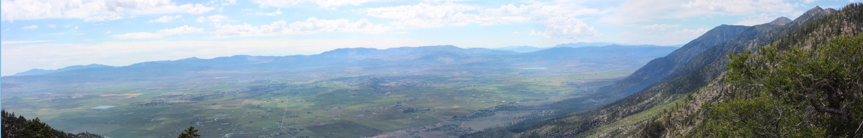
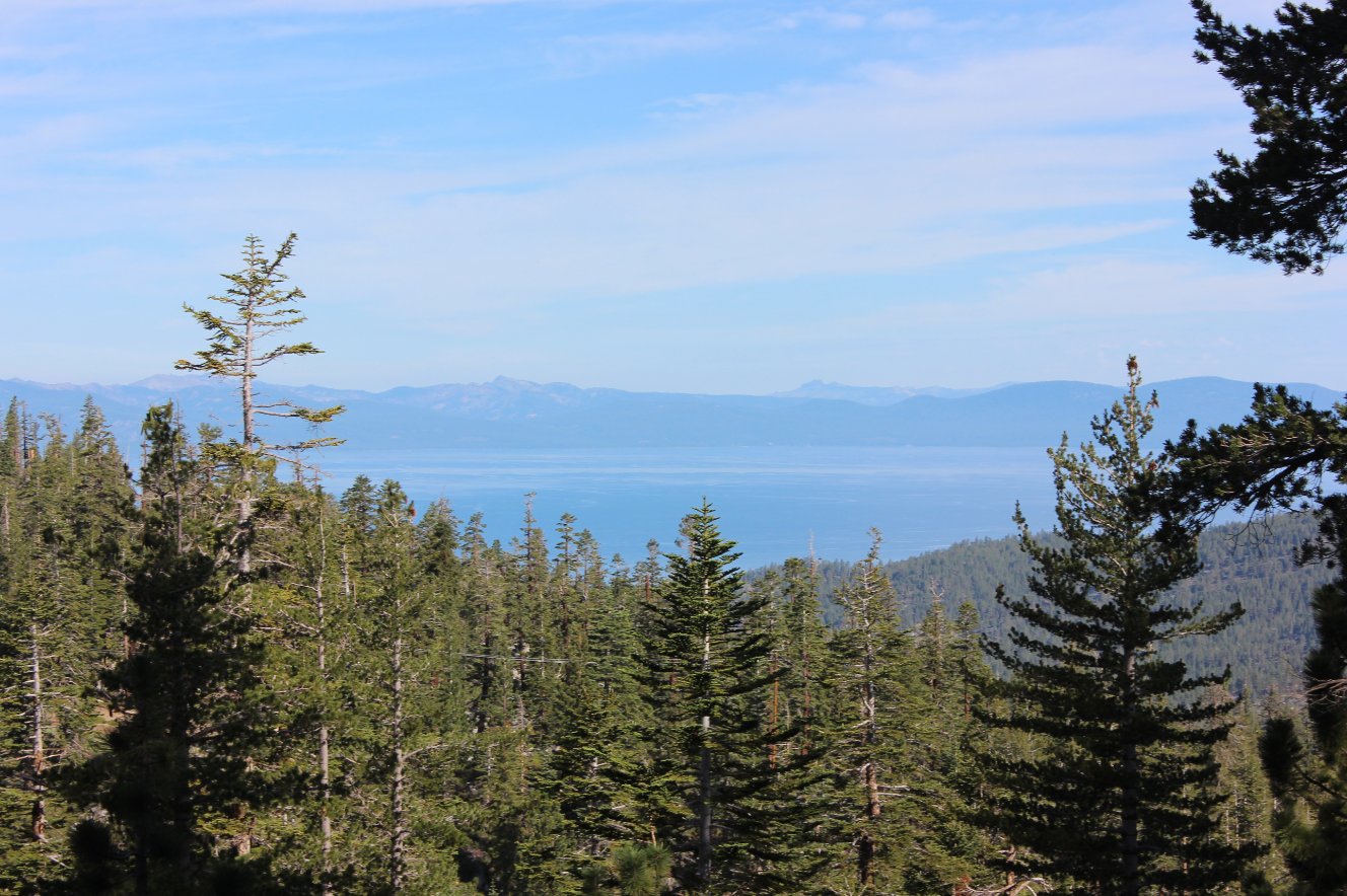
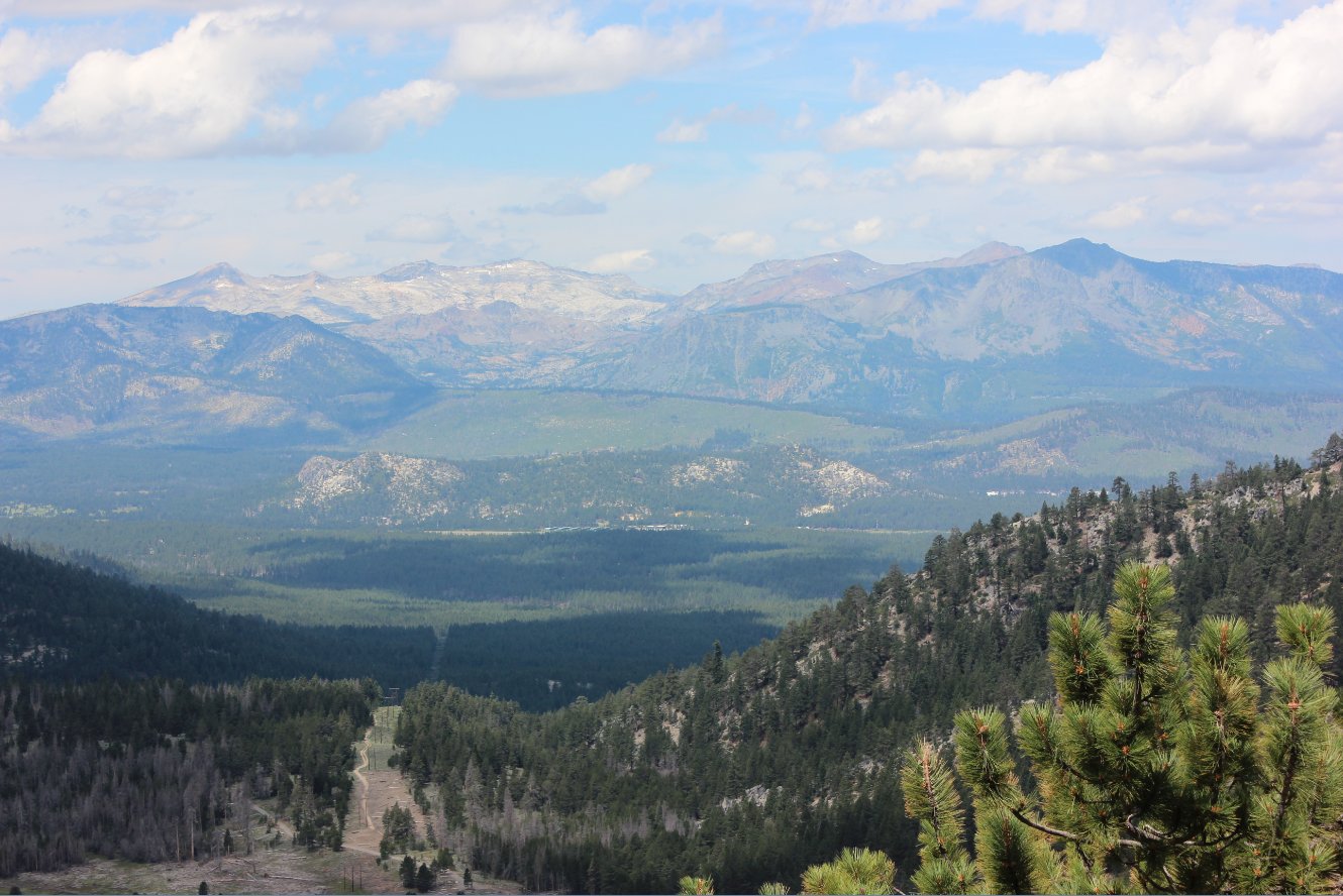
Carson Valley Panorama from
the trail on the east side of Monument Peak
|
|
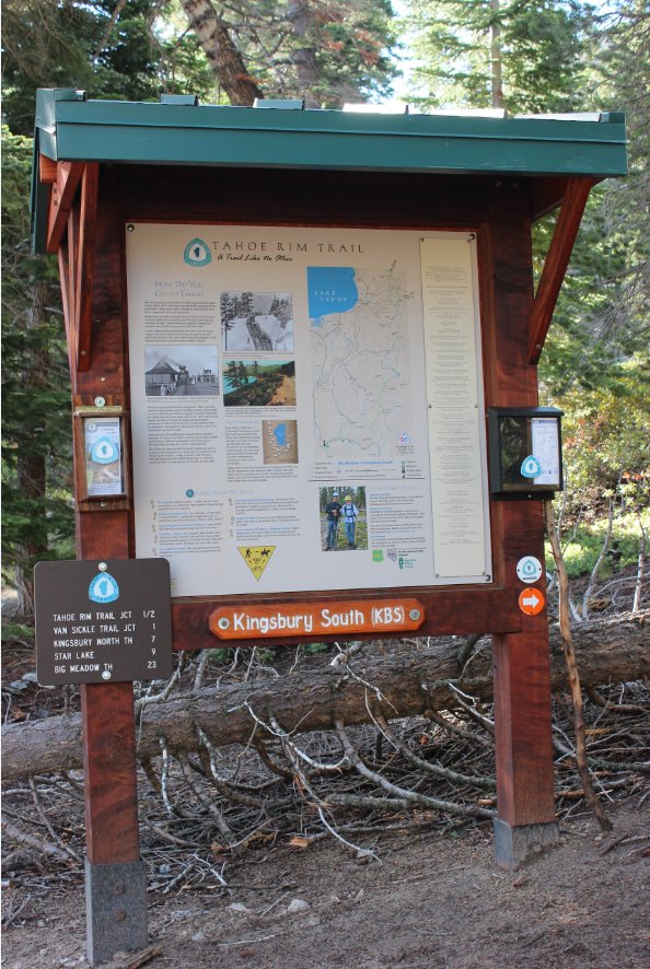
The slightly elusive trailhead
at Kingsbury south. It is found within a maze of condo units
if you are starting from this location. |
 |
|
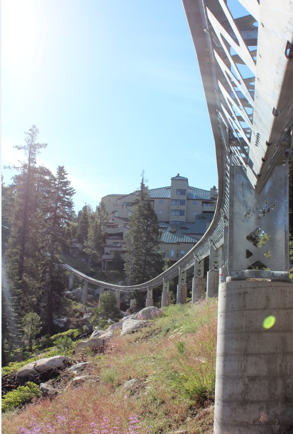
Within the first 200 feet you
walk below a private tram that shuttles condo residents down to the ski
area at Heavenly.
|
 |
|
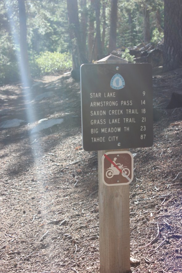
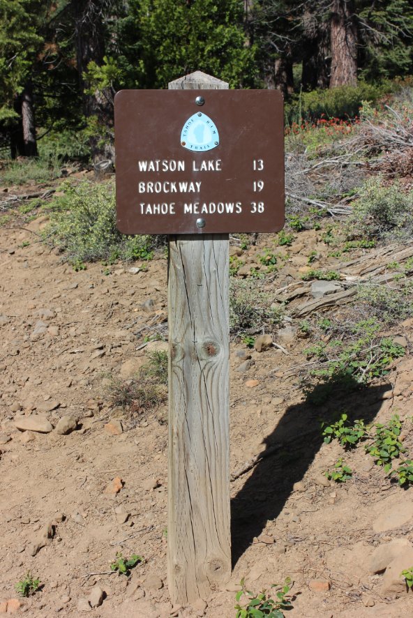
This is the first mileage
trail sign you will get to, after coming to a junction and having to
turn left. If you go right, you will actually end up heading
back toward the Kingsbury North trailhead. |
 |
|
There are some nice views into
the Carson Valley in Nevada early on in the hike, including this one
showing the continuation of Highway 207 after it crosses the top of
Kingsbury grade. |
 |
|
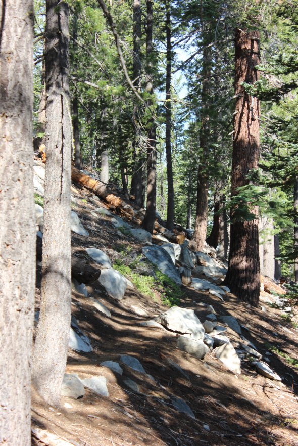
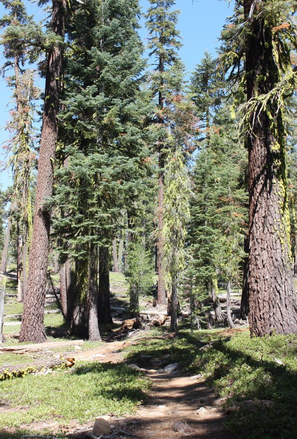
This is a shot of some pretty
typical section of trail as you climb up through the forest for much of
the first couple miles. |
 |
|
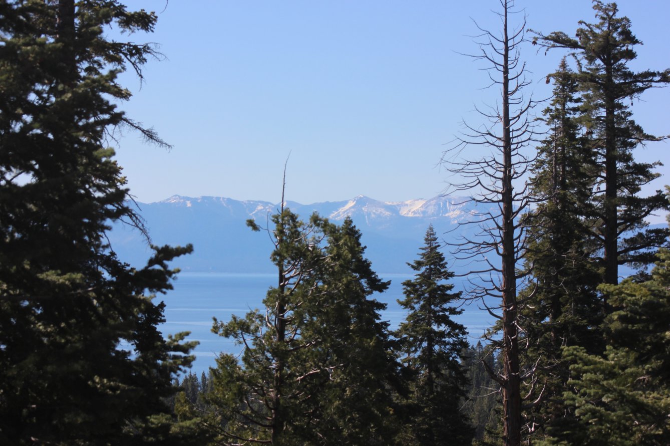
There is one look back at the
lake early on, but then you head along the eastern side of the ridge
around Monument Peak for much of the way to Star Lake, and you don't
see Tahoe again for a long time. |
 |
|
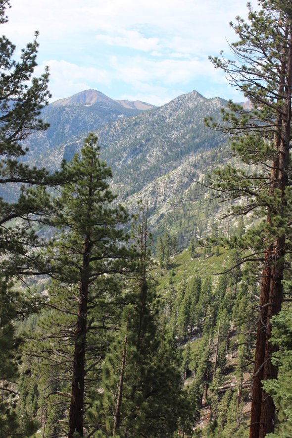
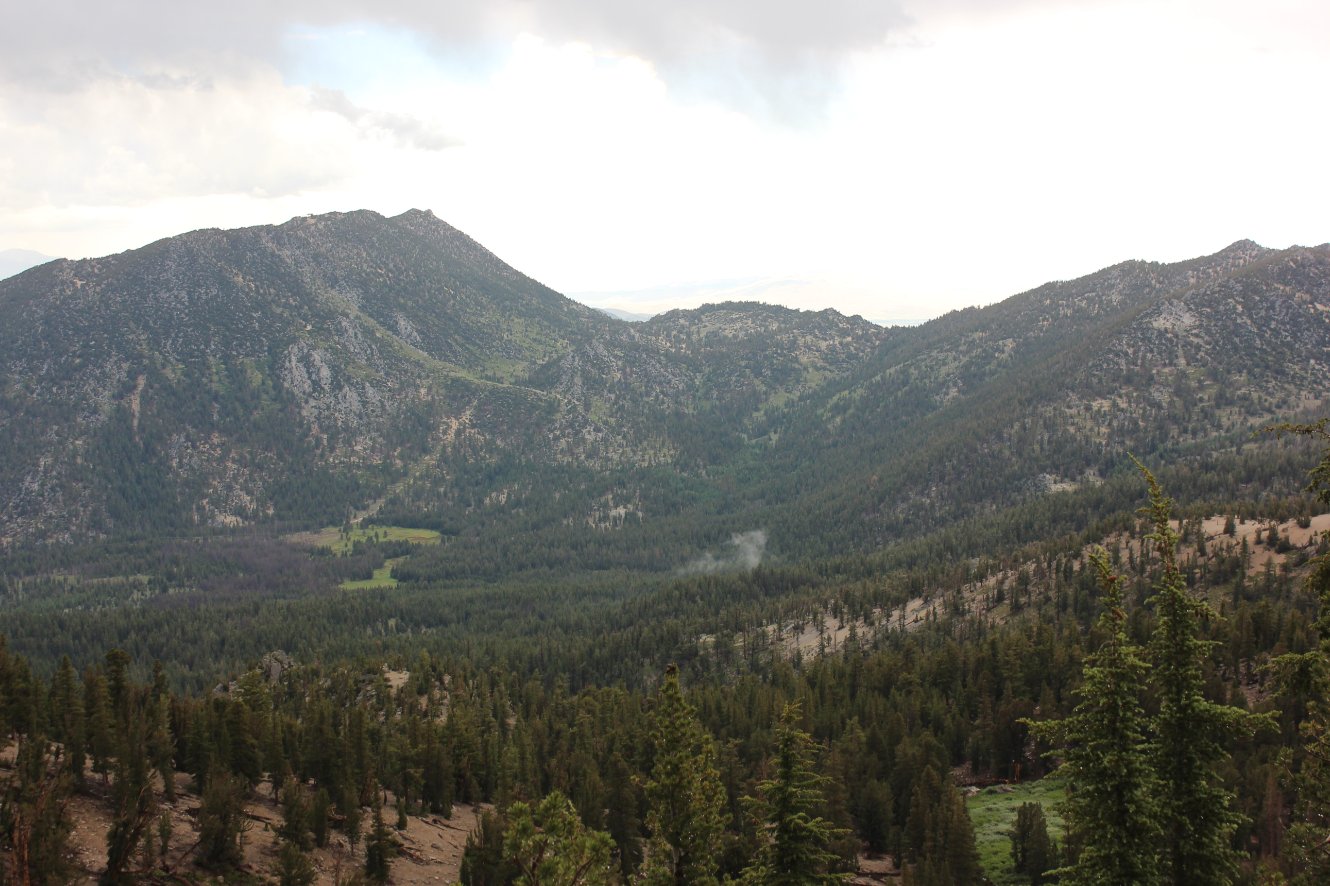
Views south from the Monument
Peak area show Job's Sister and some of the terrain that you will be
trekking through. |
 |
|
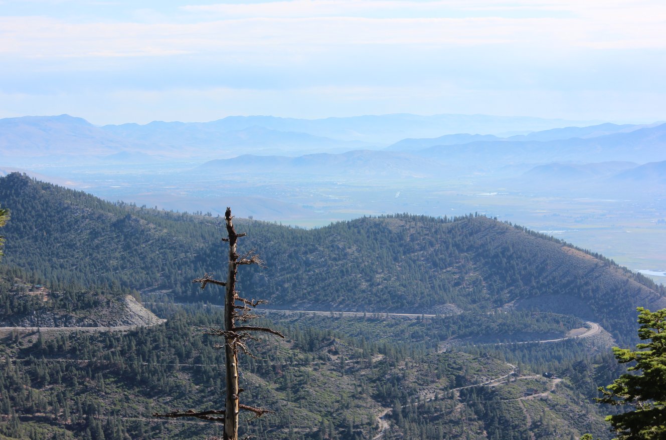
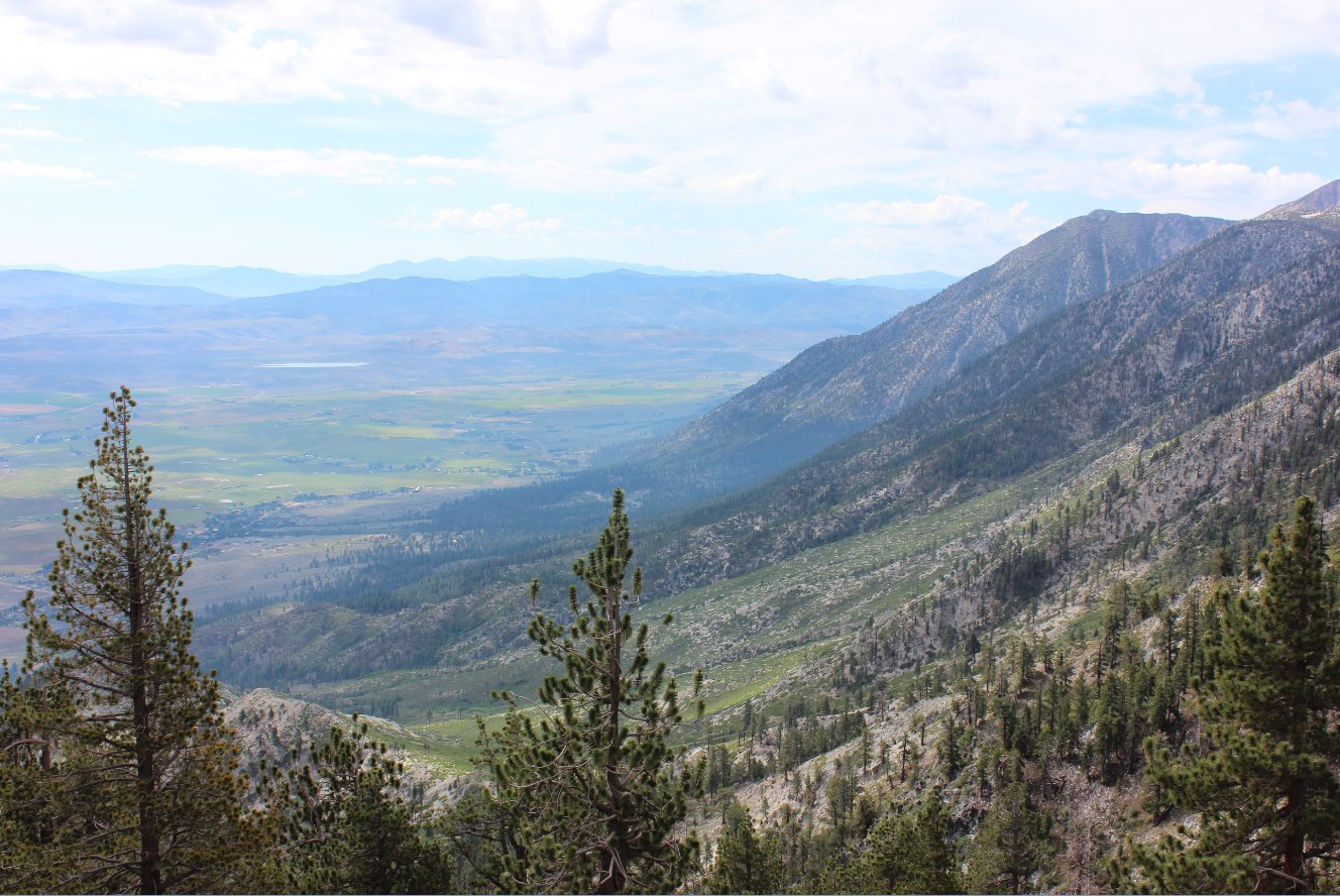
Even though the mountains
block view of Lake Tahoe for most of the first 9-10 miles on this
segment, some of the views to the south east into the Carson Valley are
spectacular. |
 |
|
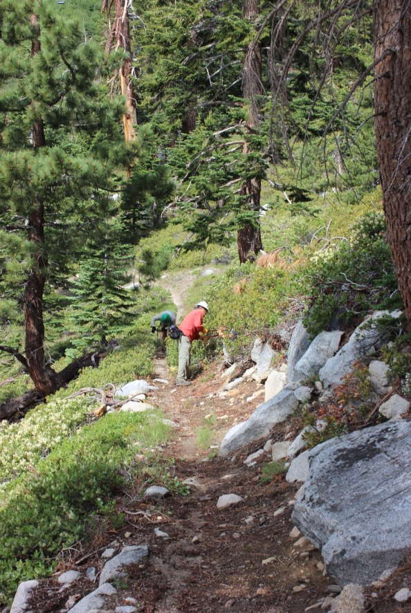
The Tahoe Rim Trail volunteers
who work tirelessly to keep the trail in great condition were out in
force on a section of this trail about 4 miles in. They had
driven to a parking spot pretty close by, which was a surprise to come
around a corner and see a couple of cars parked in the middle of
nowhere. |
 |
|
Along one section of the trail
just past Monument Peak were views that overlooked the Carson Valley
some 3000' feet below. A memoriable section for sure. |
 |
|
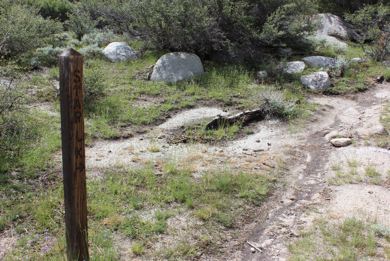
Just as the trail passed from
Nevada into California there was an old weather-beaten marker
indicating which way to head on to Star Lake still some 4 miles distant. |
 |
|
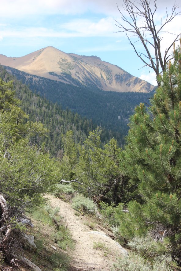
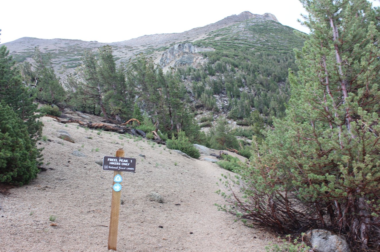
It is always nice to be able
to see your progress on a trip, and coming around bend the nearness of
Freel Peak is significant from the last time it was in sight. |
 |
|
Also making an appearance
across to the west is the wonderful Desolation Wilderness area, with
the recently burned Angora Ridge in the foreground starting to show
significant regrowth with the green all along the extent of it. |
 |
|
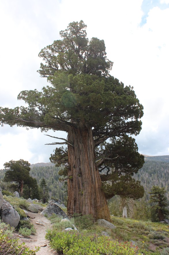
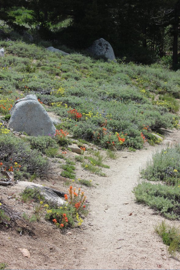
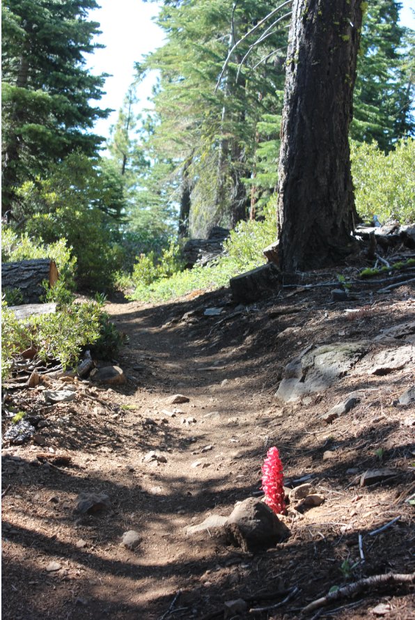
It is quite a climb of about
800' the last mile before Star Lake, which sits at just over 9000' in
elevation at the base of Job's Sister Peak. Some tough old
trees line the path as well as some pretty delicate wildflowers in the
same vicinity. |
 |
|
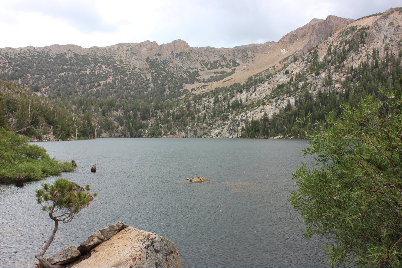
Star Lake was going to be a
nice lunch stopping point for today's journey, but as soon as I got to
the lake the heavens opened up in a terrific thunder storm and downpour
which lasted the rest of the journey. |
 |
|
Even being pummelled by heavy
rains Star Lake is a worthy site and looks like it would be a great
overnight location. |
 |
|
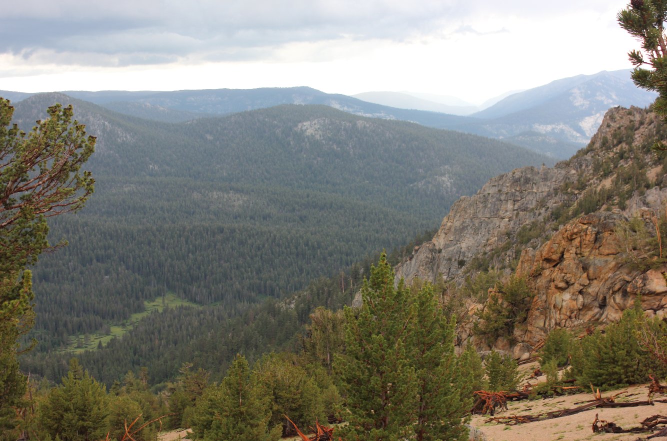
Looking back at Monument Ridge
from near the base of Freel, having traversed near the top of this
ridgeline on the way to the spot. |
 |
|
After waiting out the heavy
rains a couple of times on the way to this spot, once you hit the high
point about 2 1/2 miles from the end it is all downhill the rest of the
way. |
 |
|
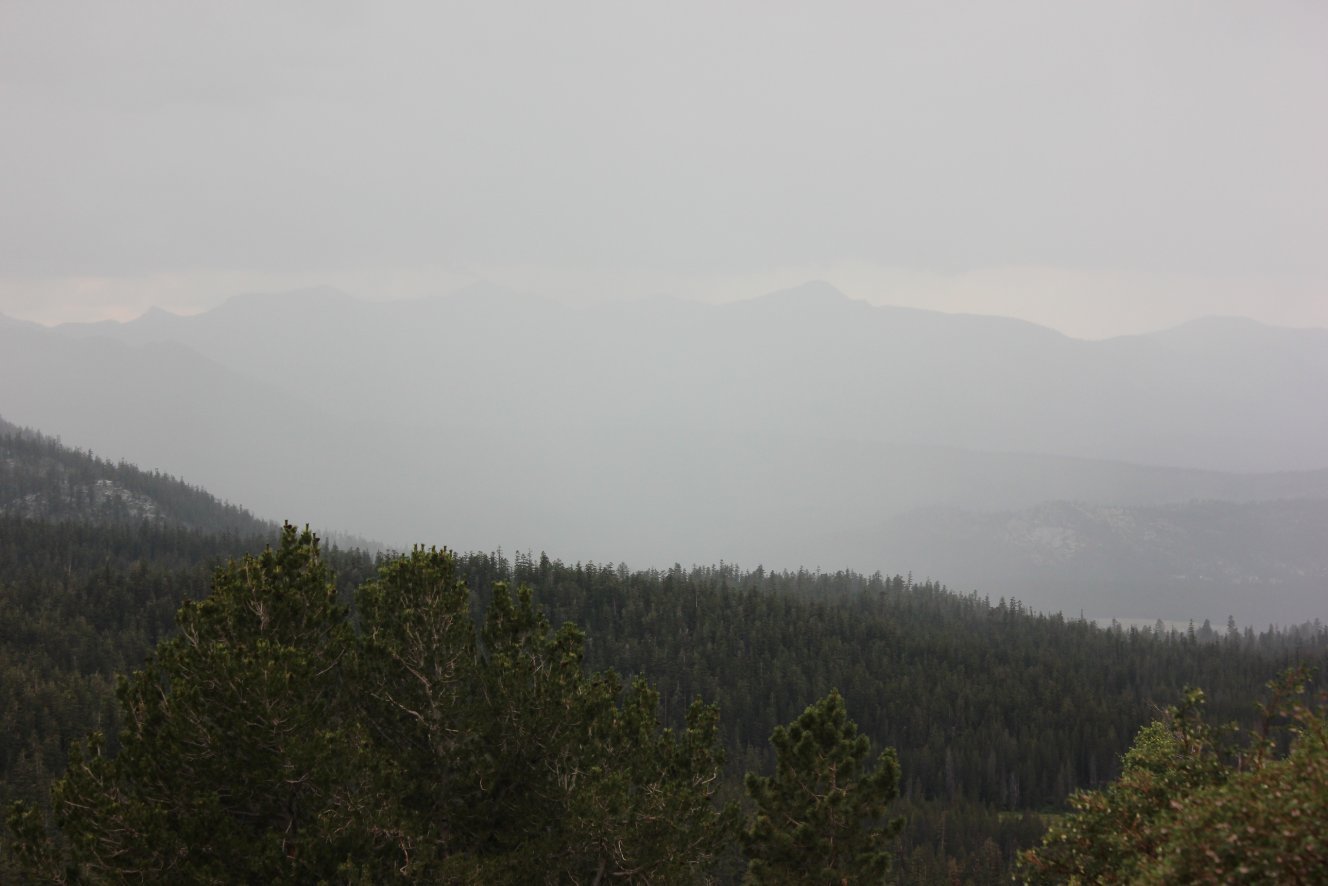
Looking down from the
highpoint to the southwest, you can see Freel Meadow, which the TRT
continues across on the other half of this segment. |
 |
|
Lots of water along section of
the trail, and not just from the skies as there were three natural
springs that the TRT crosses heading down the other side of the pass. |
 |
|
Just for comparison, here's a
look at Desolation Wilderness again as the storm heads that way a
couple hours after my last picture of the location. |
 |
|
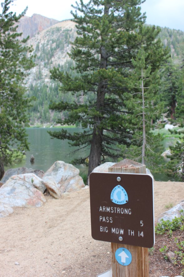
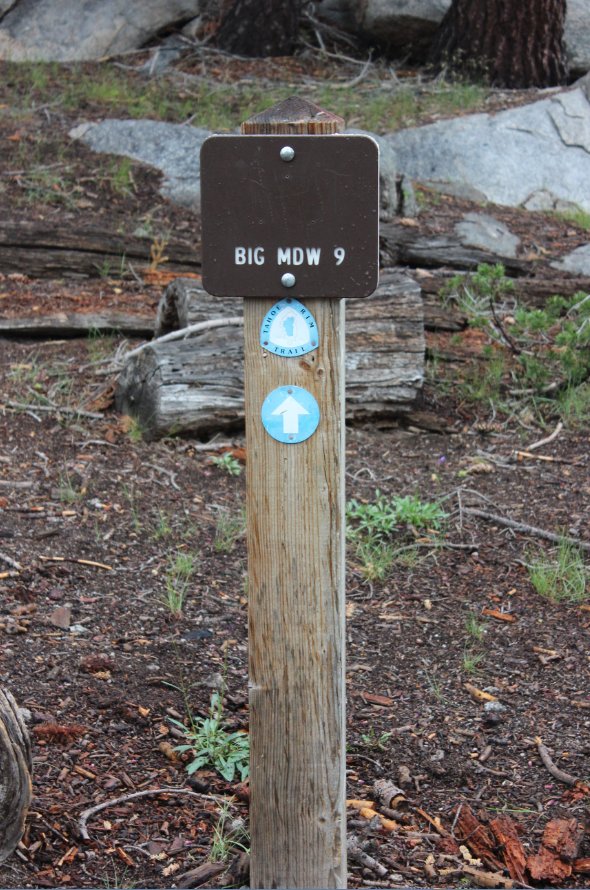
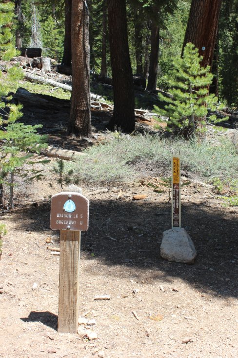
One mile from the end of this
area you can either continue on further for 9 miles to complete the
entire segment at one time, or you can go the way of the section sign,
and to the parking area along Forest Road 51 a mere one mile further. |
 |
|
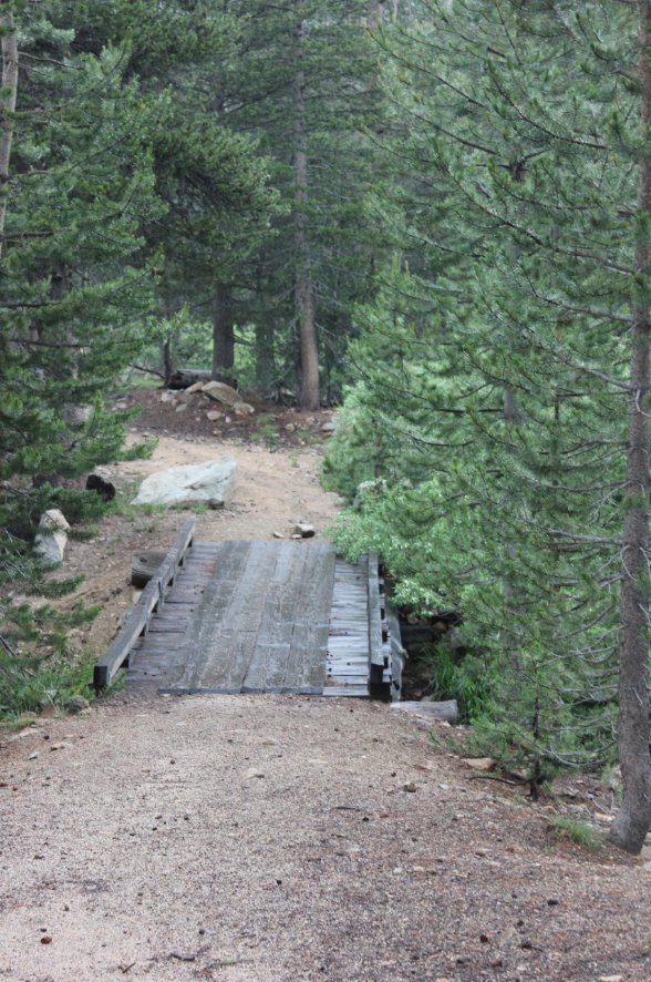
Very happy in a thunderstorm
to see this bridge knowing that the warm, dry vehicle was just a few
hundred feet past it. |
 |
|
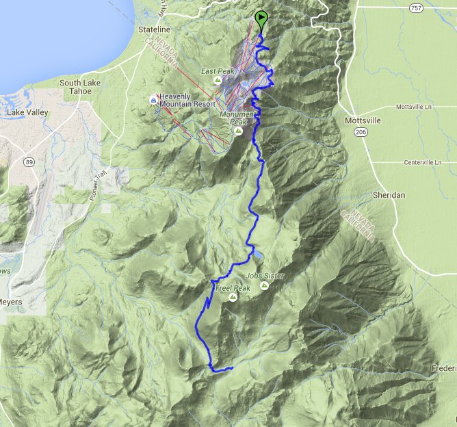
GPS track
of the hike starting in the upper left and heading down to the bottom
right. |
 |