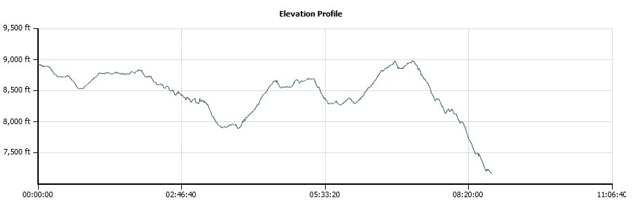
Distance: 24.3 Miles
Vertical Gain: 2400'
Group Size: 1
Hike Rating: Easy Moderate Hard Strenuous
 GPX for
this trip
GPX for
this trip
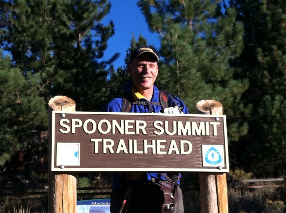
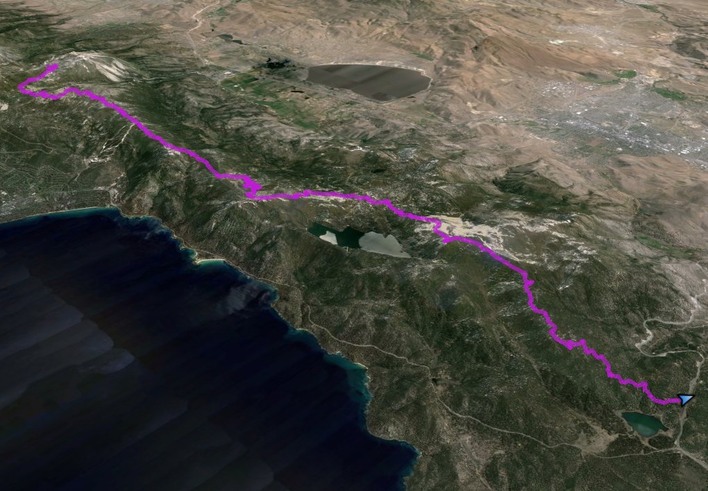
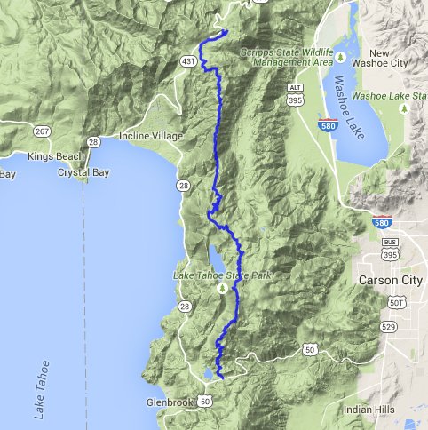
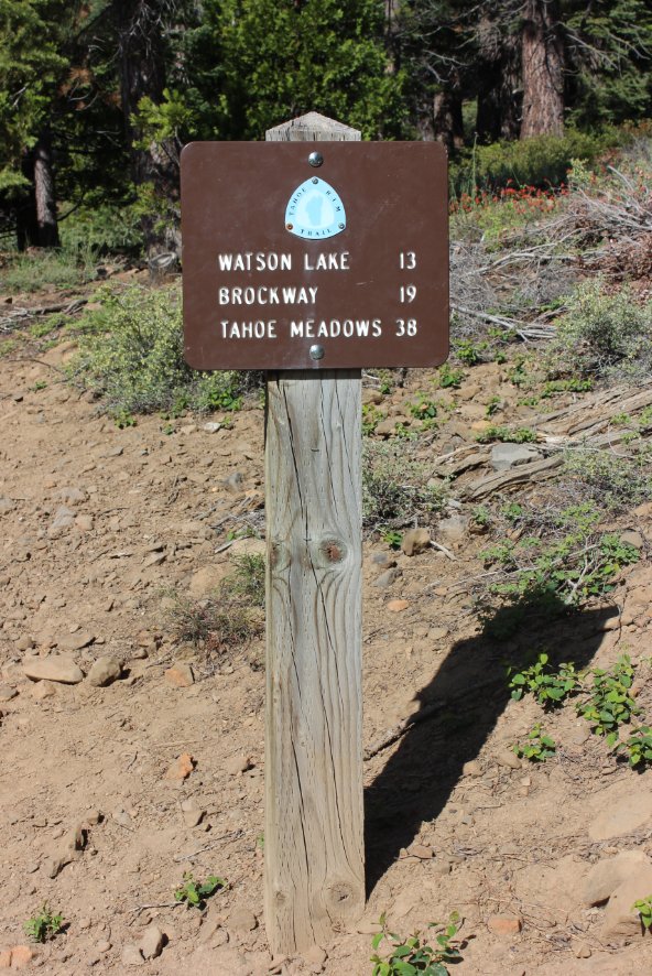
| Start Coordinates: | N 39 18.777, W 119 53.853 | End Coordinates: | N 39 06.277, W 119 53.829 (Alternate start/stop coordinates to cut this segment in half are at the Tunnel Creek Station at N 39 14.058, W 119 55.805. Breaking this into two days is highly recommended!) |
||
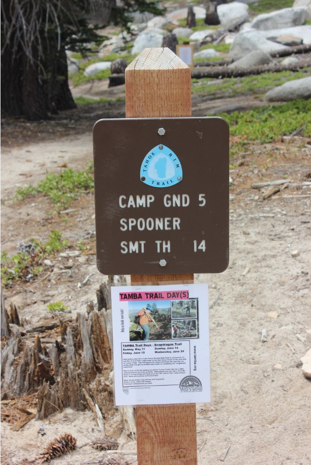
| Car Shuttle Req'd: | Yes | Parking Directions: | For the parking area for Tahoe Meadows, follow the Mt. Rose Highway (431) north toward the Mt. Rose Summit and park at the large lot on the west side of the highway. You will have to cross back over the road and start down the paved road for the Mt. Rose Campground to start off this section of the trail. For parking at the end of the hike at Spooner Summit, take Highway 50 east from South Lake Tahoe. Park on the north side of the highway at the parking area provided for the Tahoe Rim Trail hike. | ||
| Hazards of Note: | This is an extremely long segment, and water is only available at the Marlette Peak Campground, over 15 miles into the hike. | Crowd Factor: | Moderate. This is a popular mountain biking area so keep an eye out for quickly approaching bicyclists. They are only supposed to be on the trail during EVEN dates on the calendar, but there were many who ignored this rule on the ODD day I was out and anyone else I have talked to has said the same thing. | ||
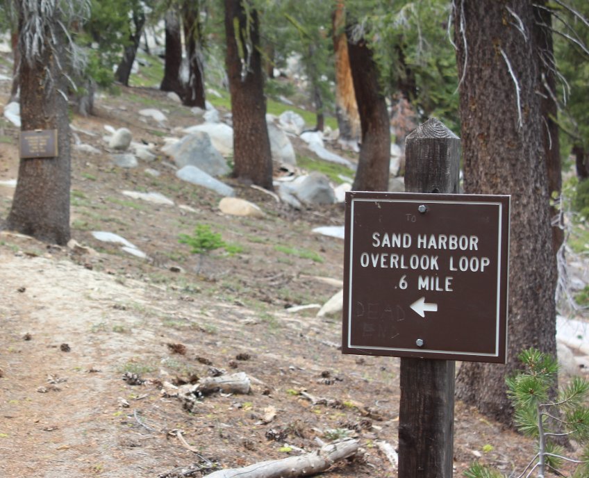
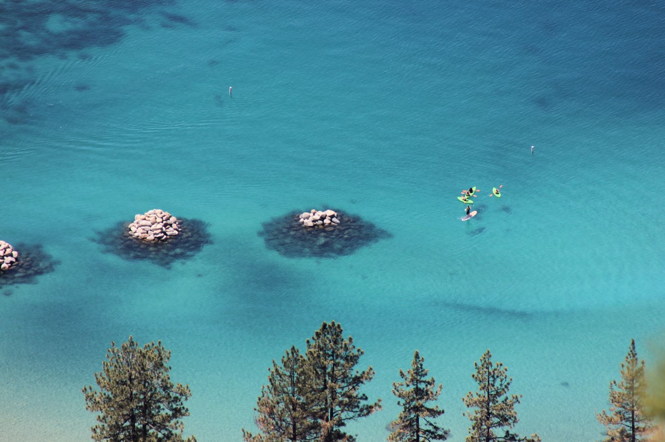
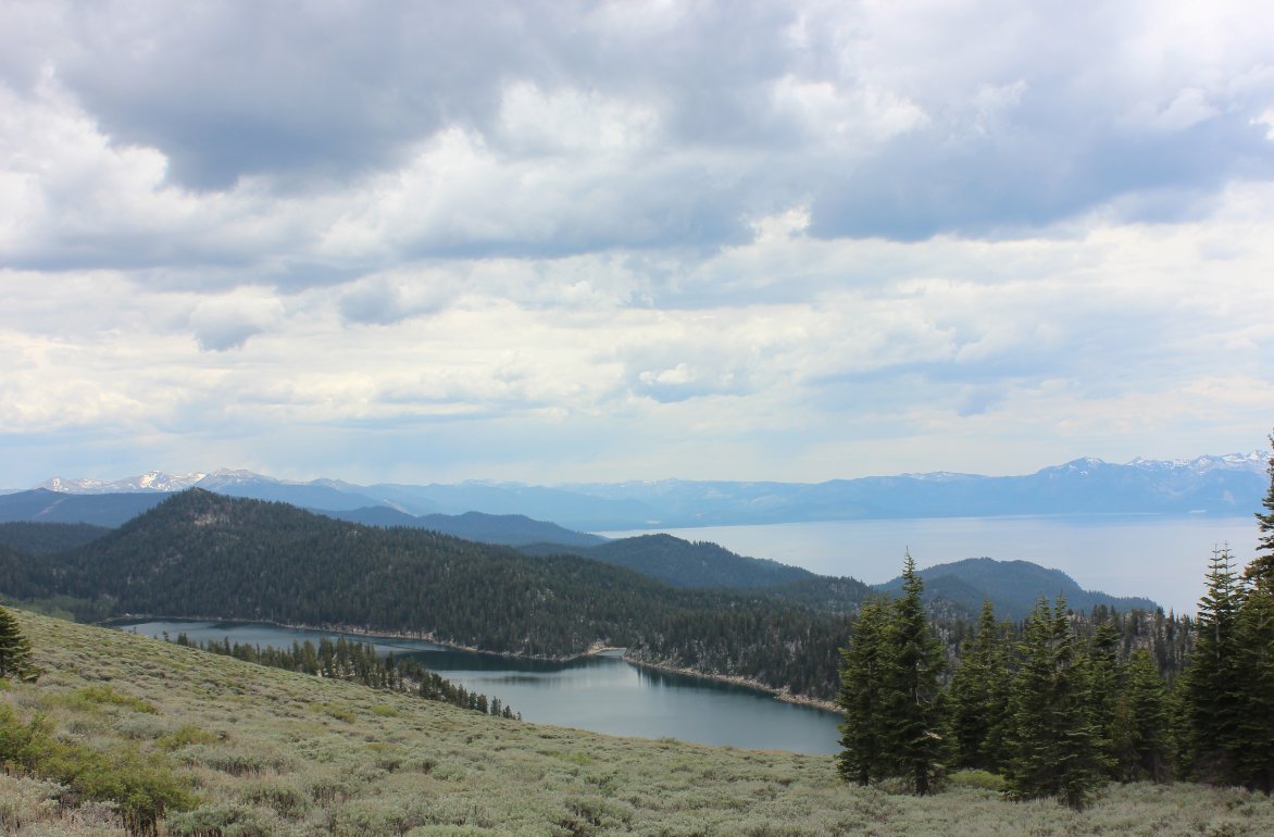
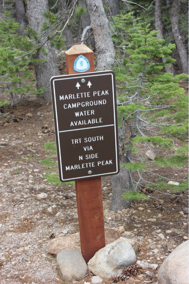
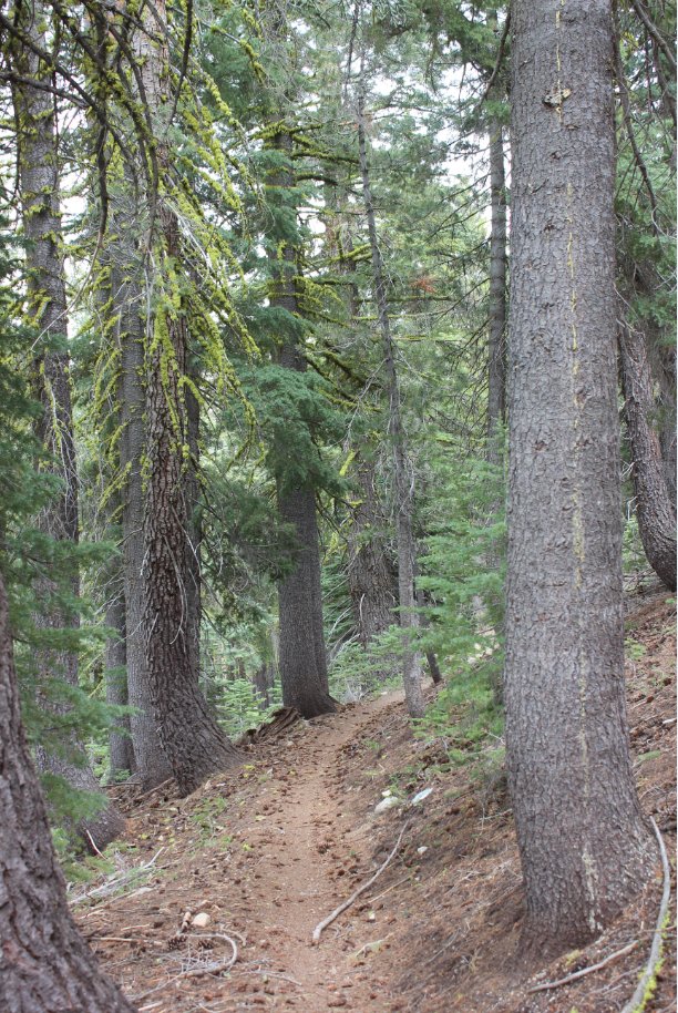
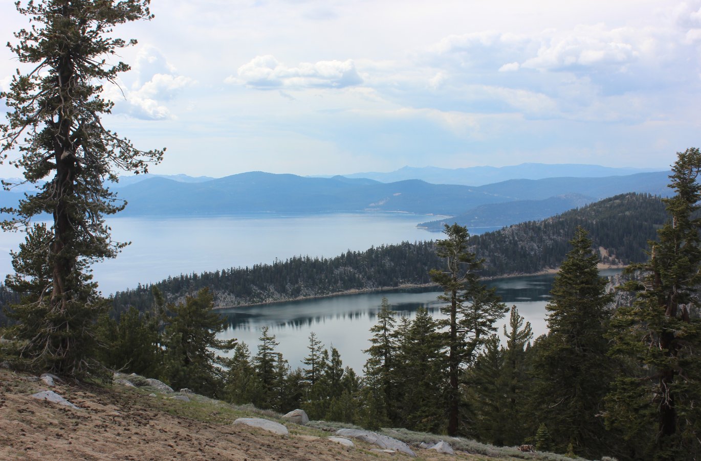
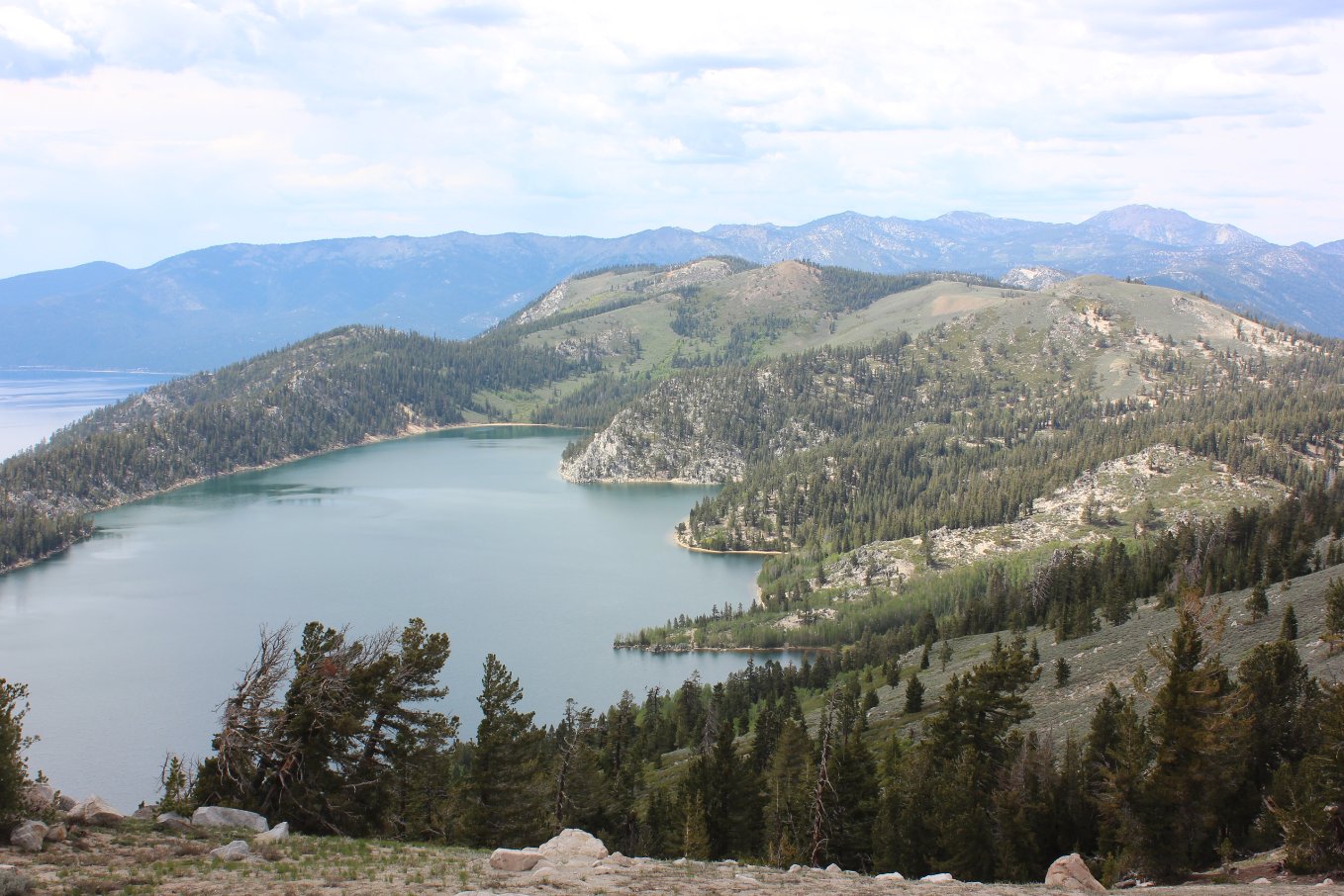
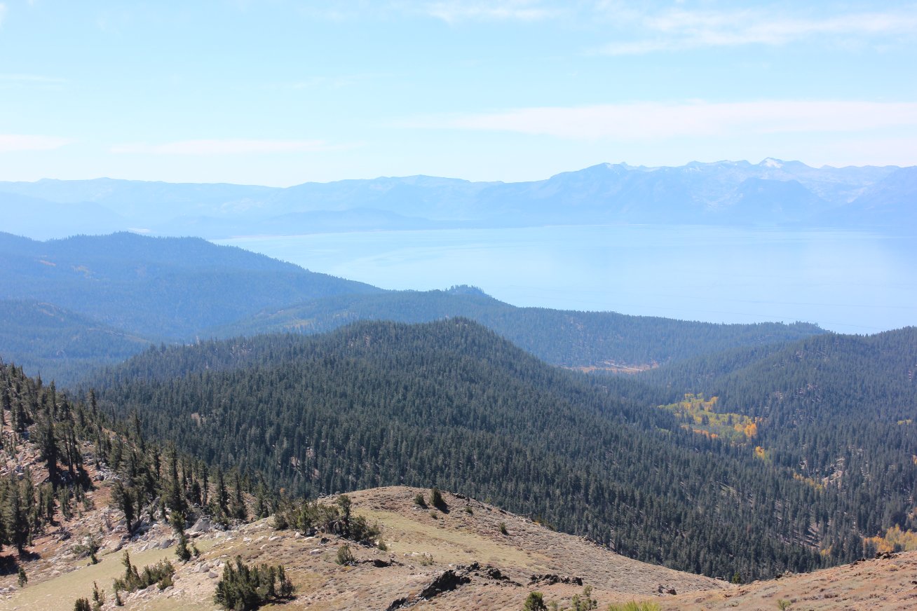
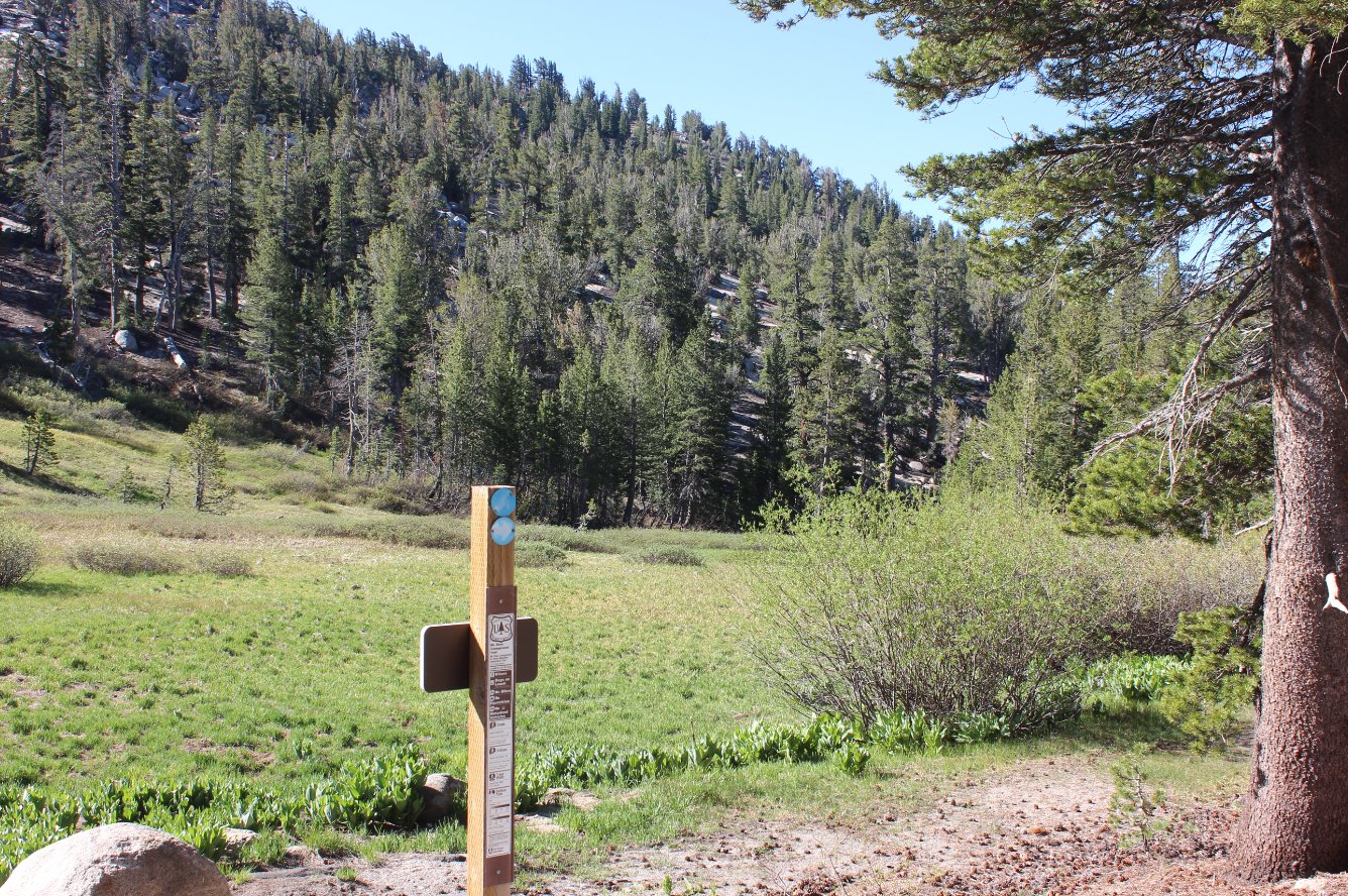
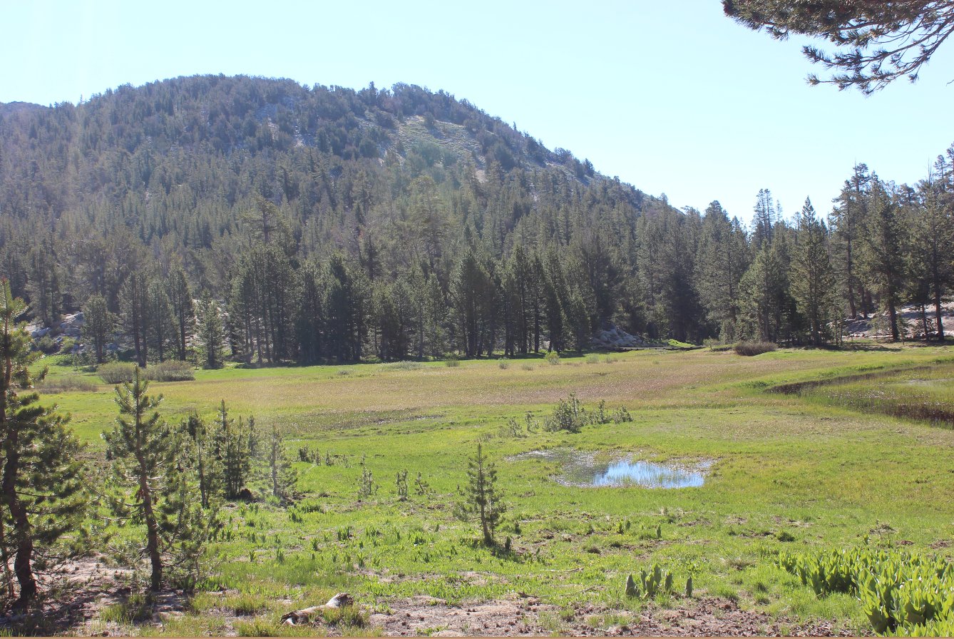
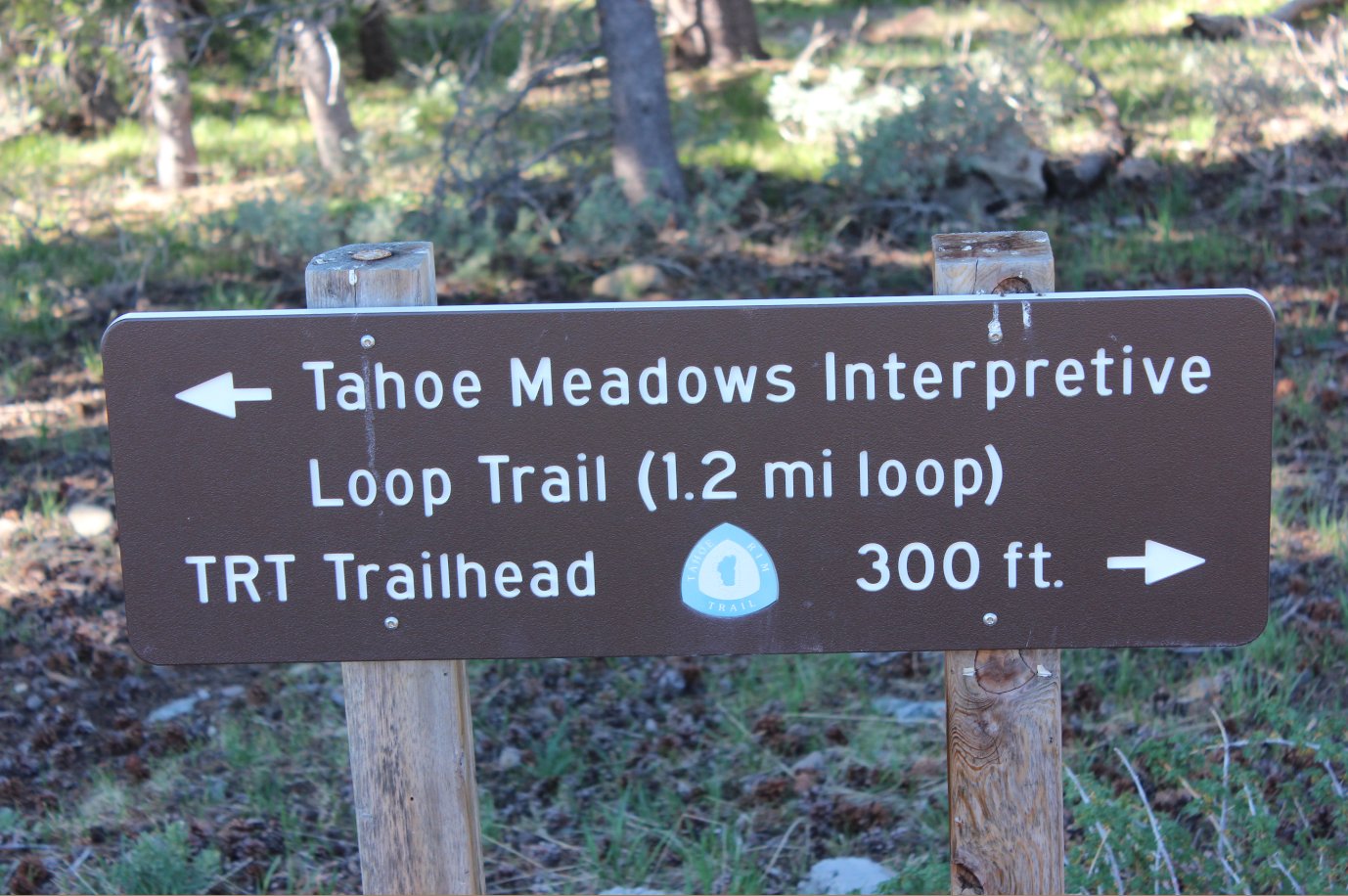
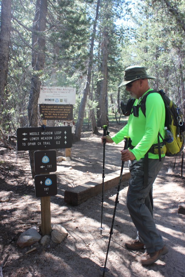
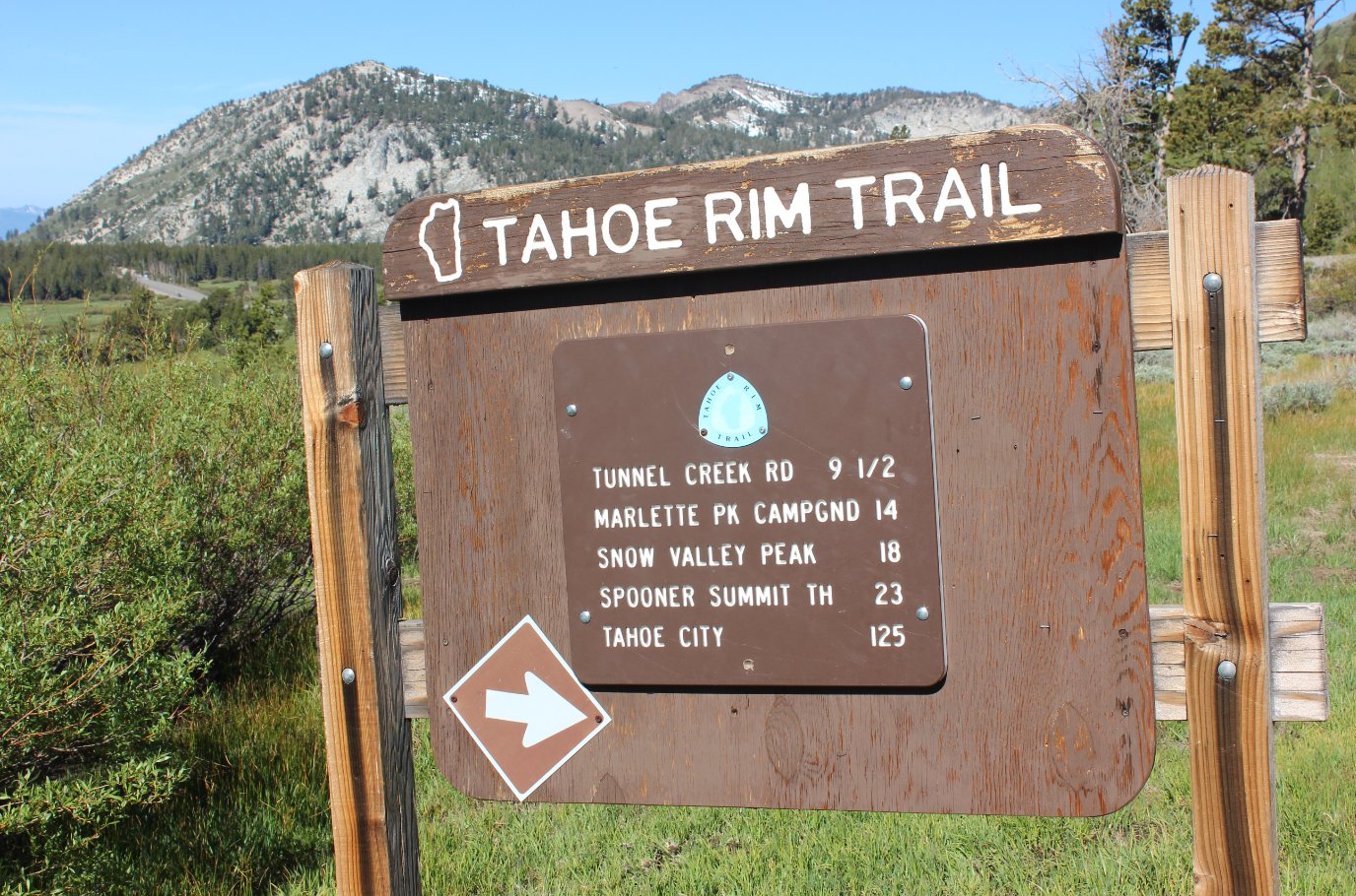
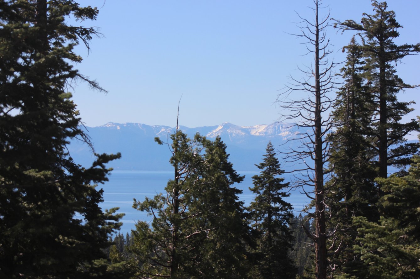
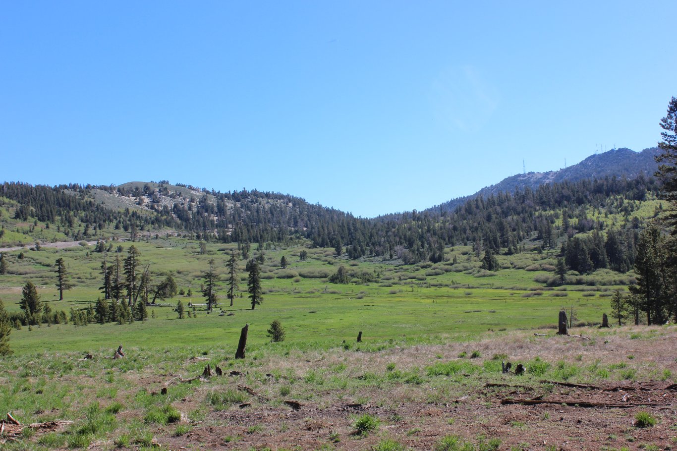
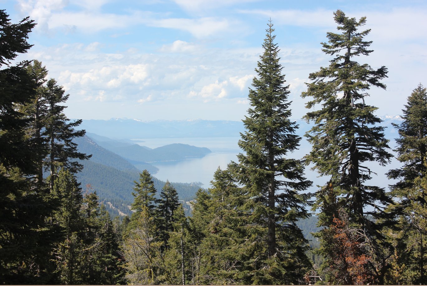
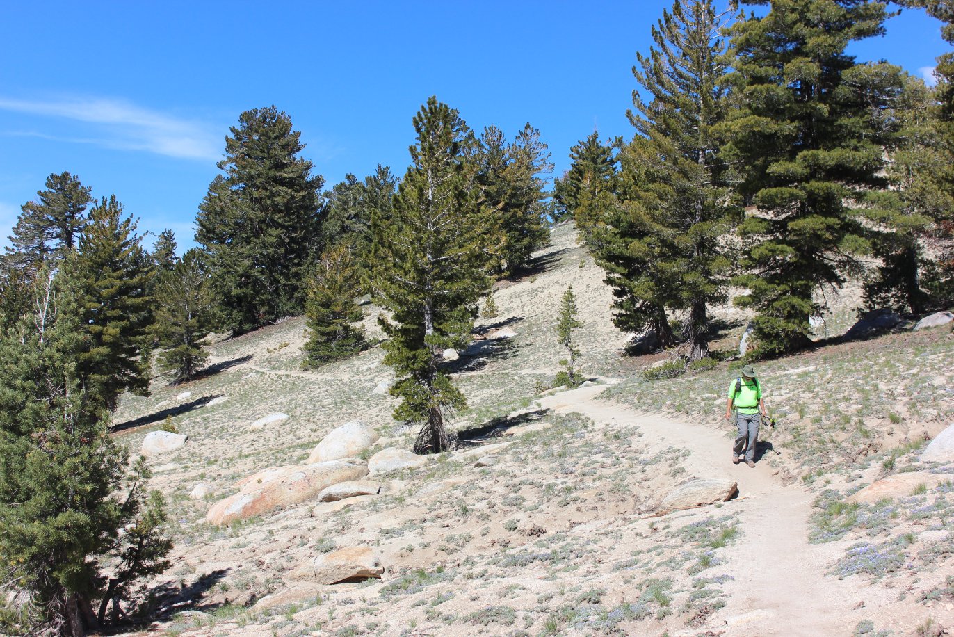
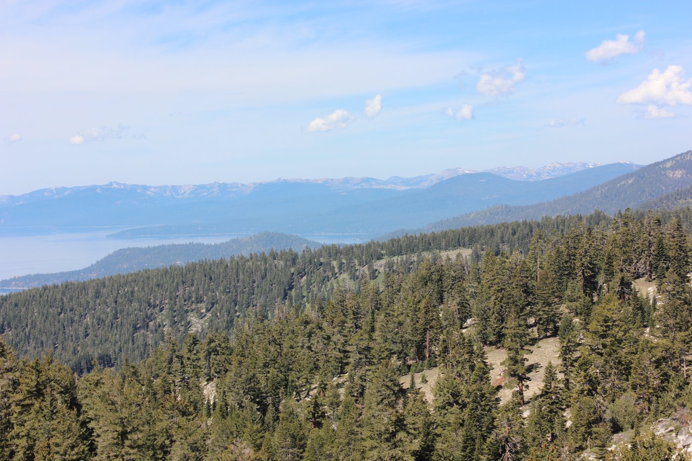
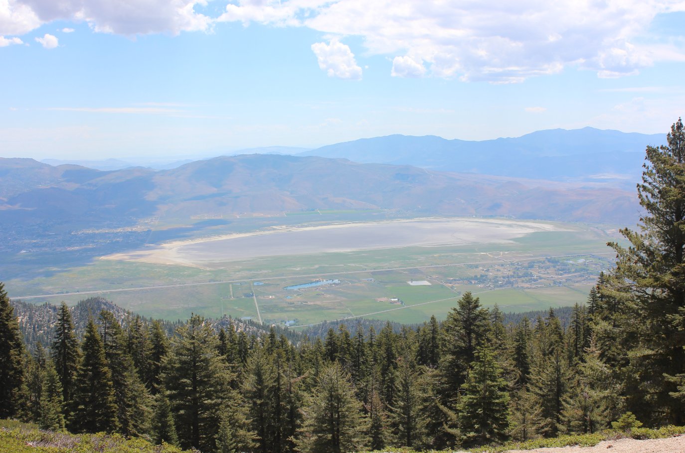
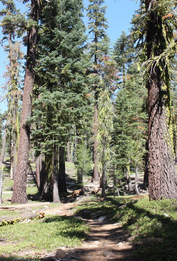
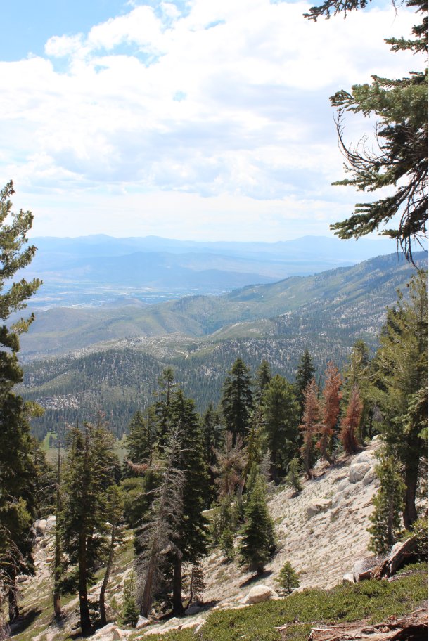
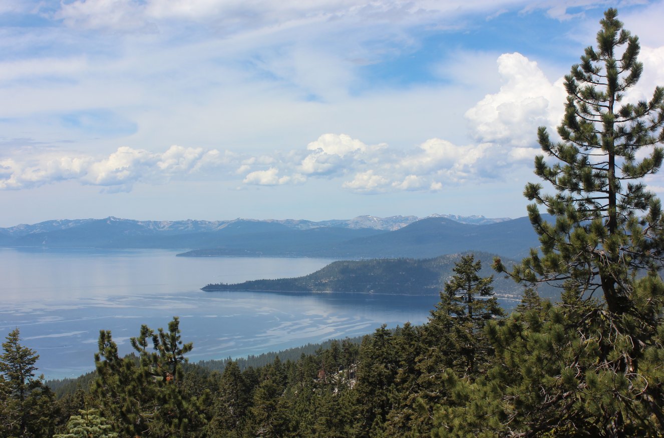
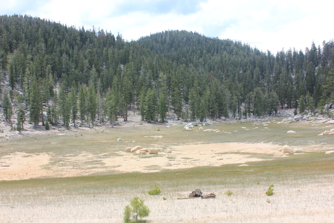
| General Notes: You will start this hike at just about 8900 feet in elevation, making your way down to and then across Tahoe Meadows. In the spring this is a very lush, green meadow area with a less than 2 mile interpretive loop trail that visitors can enjoy and get some good information regarding the history and geology of the area. Once you pass through this area the trail will slowly begin to lose elevation over the next 9-10 miles until you reach the lowest elevation on the hike at 7900 feet. During this gradual descent you will have a number of nice views to the west and the northwest across Lake Tahoe, including the nearby Incline Village and all the way to Blackwood Canyon and even Desolation Wilderness. About 11 miles into the hike you will come across an old dried up lake bowl, with smooth boulders in the center of what used to be the middle of the water. This is the point where the hike will begin a climb all the way back up to almost 9000' of elevation, and it is a real thigh-burning stretch. Near the top there is an amazing view of Marlette Lake high above Lake Tahoe, and be sure to take the short diversion trail marked "Viewpoint" to see a panoramic view of the scene from high above. Soon after this point you will come to a bit of a confusing trail junction, which points to the TRT South in two different directions around Marlette Peak. The official trail map for the TRT indicates to head toward Marlette Peak Campground, which heads to the east. There is water available at the campground via a well, as well as bathrooms. Six miles from the end of this segment you will pass Snow Valley Peak on the left, a worthy summit to climb but definitely too much if doing the entire segment in one leg. The final five miles will gradually wind down the mountain, descending almost 2000 feet in elevation by the time you get to the end of the day at the Spooner Summit parking area. |
|||||
