|
|
Sweetwater
Trail Hike
|
|
Trip Date: 03/09/2013
Distance: 5.9 Miles
Vertical Gain:
150'
Group Size:
1
Hike Rating:
Easy
Moderate
Hard
Strenuous |
 GPX for
this trip
GPX for
this trip
|
|
 |
|
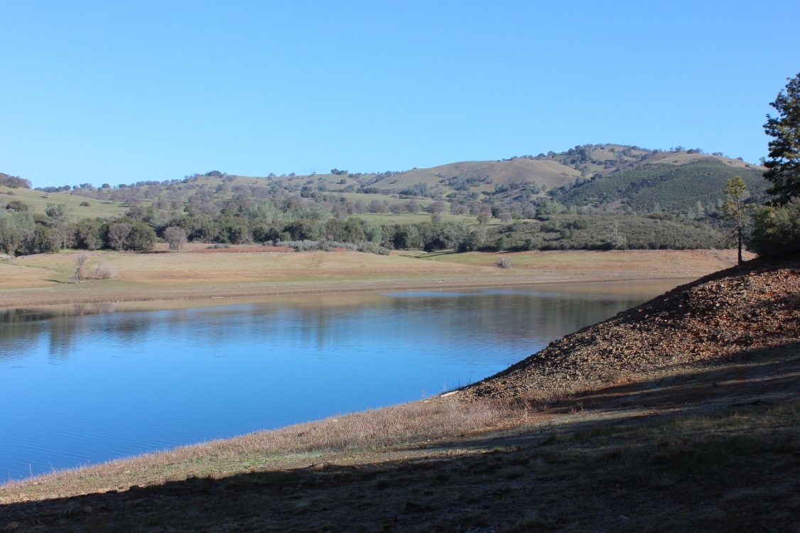
Looking toward Flagstaff Hill
near beginning of hike. |
 |
|
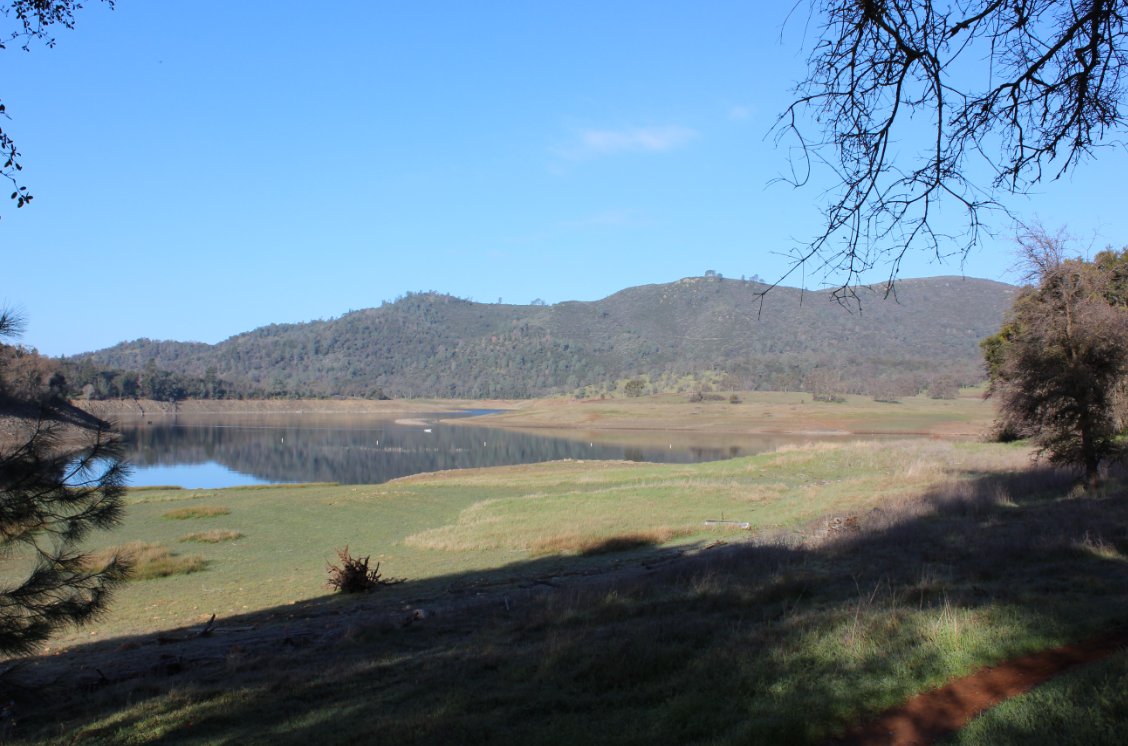
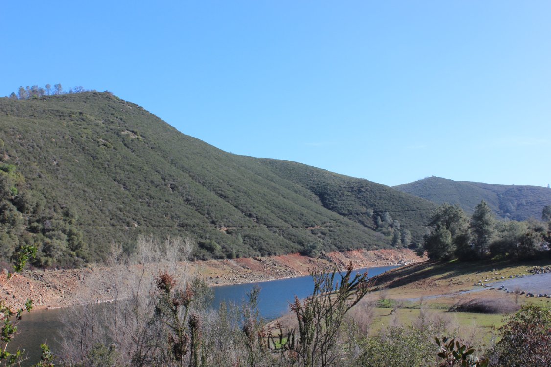
Lake seen from near cache
location.
|
 |
|
Looking north at low water
near "Magic Bridge." |
 |
|
Headed toward Salmon Falls
bridge along hike. |
 |
|
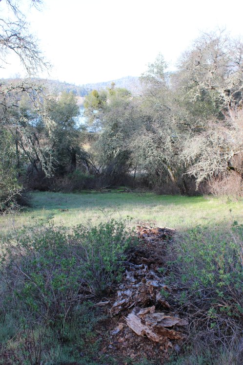
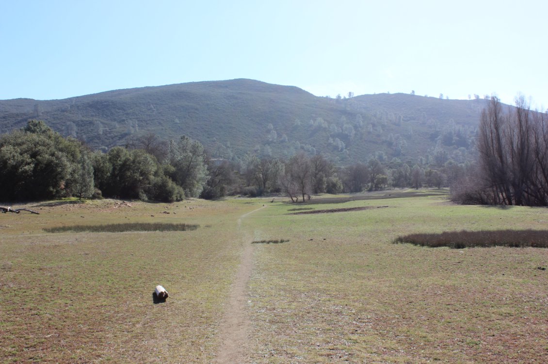
The path back to the trailhead
under what would be water in a wet year.
|
 |
|
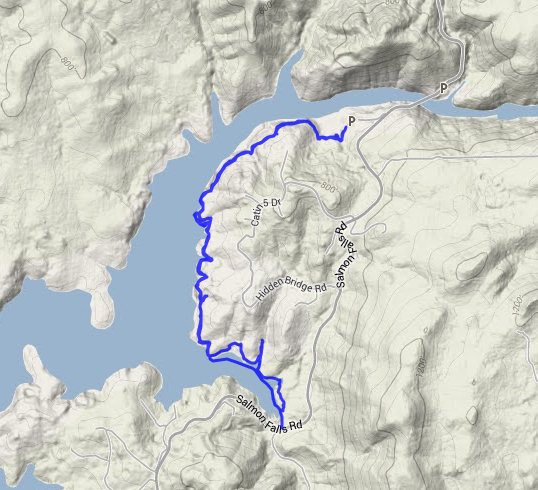
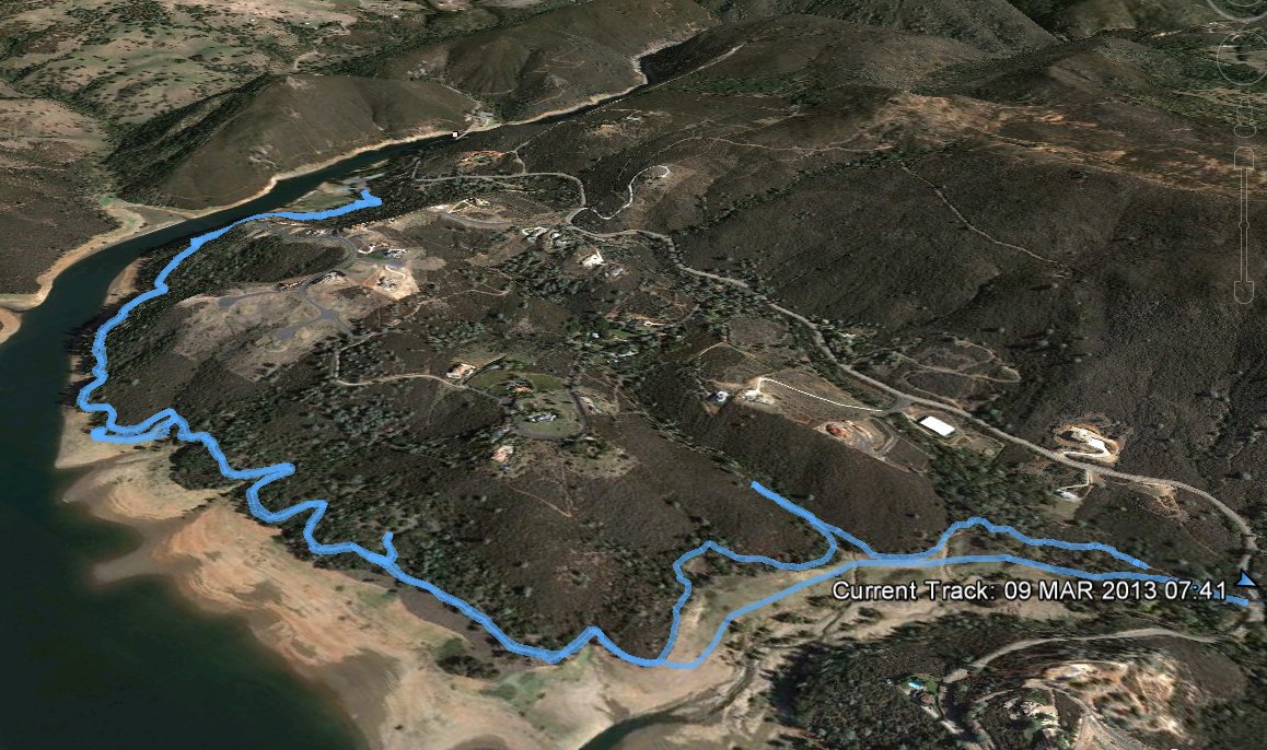
GPS Track of the full hike. |
 |