|
|
Summit
City Canyon (via Evergreen Trail) Hike
|
|
Trip Date: 09/30/2016
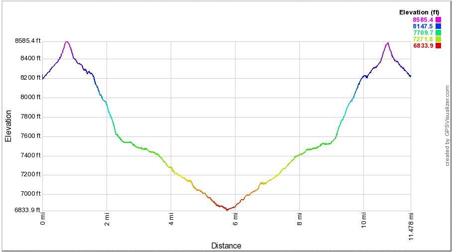
Distance: 11.6 Miles
Vertical Gain:
1700'
Group Size:
4
Hike Rating: Easy
Moderate
Hard
Strenuous |
 See
video of hike
See
video of hike
 GPX
for
this trip GPX
for
this trip
|
|
|
Start Coordinates: |
N 38 38.446, W 119 57.300 |
|
End Coordinates: |
Same as Start Coordinates
|
| Car Shuttle
Req'd: |
No |
|
Parking
Directions: |
Take
Highway 88 to Blue Lakes road and turn south. Follow the road
for
a little more than 15 miles to the parking area on the left between the
two lakes. After 11 1/2 miles the road turns to
the north,
and becomes dirt for the last few miles. Park near the
trailhead sign for the Evergreen Trail just at the north end of Upper
Blue Lake. |
| Hazards of
Note: |
A relatively unused
trail will require hikers to be aware of a good chance of wildlife
encounters with many types of creatures.
|
|
Crowd Factor: |
Negligible. The only
potential chance of running into other people on this trail might be an
occasional hunter early on the trail. Past the junction up to
4th of July Lake you will most likely not encounter anyone as far into
the canyon as you wish to explore. |
General Notes:
From the parking area head west on the Evergreen trail, which will
gradually head up about 300 feet before beginning a relatively steep
drop over about a mile of more than 1700' in elevation toward the
canyon floor. Most of this trek is through forest and along
the old jeep trail which used to be accessible into the canyon.
There is one water crossing in the first mile that could be a
bit tenuous in early spring and summer or after a heavy rainfall, but
otherwise this trail stays to the north side of the creek all the way
down to the turnaround point far ahead.
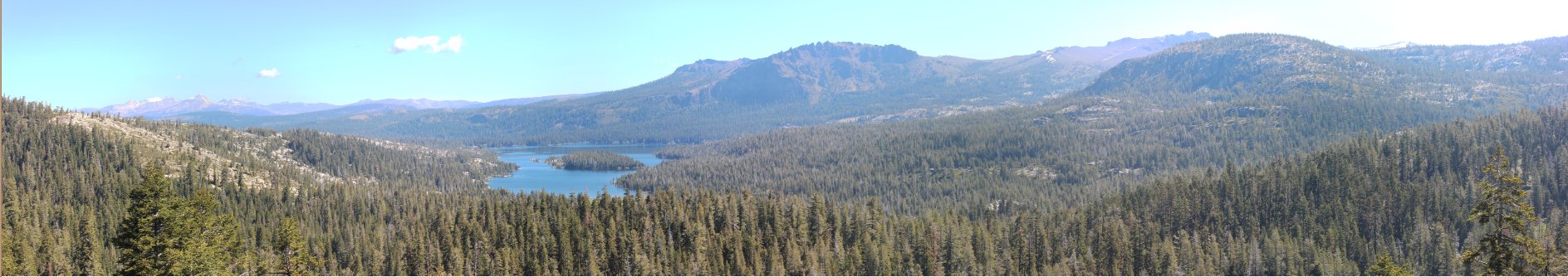
Once the trail nears the canyon floor, there are spectacular views to
the south toward Deadwood Peak, and the granite protrusion that extends
about a mile to the north of the peak. As you continue down
the trail you will meet up with the junction of the Forestdale Divide
Trail which dropped down the north side of the canyon walls, and then
less than a half mile further west is a second trail junction.
This one has a trail which splits back to the north, and
heads up to Fourth of July Lake, and eventually Round Top Lake 2000'
above the canyon floor.
Past this junction the trail becomes very remote, and winds slowly
toward the south west as it follows the canyon down toward the Horse
Canyon Trail junction at the 5 and a half mile mark. This was
our turnaround point, after we wandered about a third of a mile past to
check out a great camping location right next to the water.
Camp Irene, a main stop along the Tahoe to Yosemite Trail is
8 miles past the Horse Canyon junction.
|
|
|
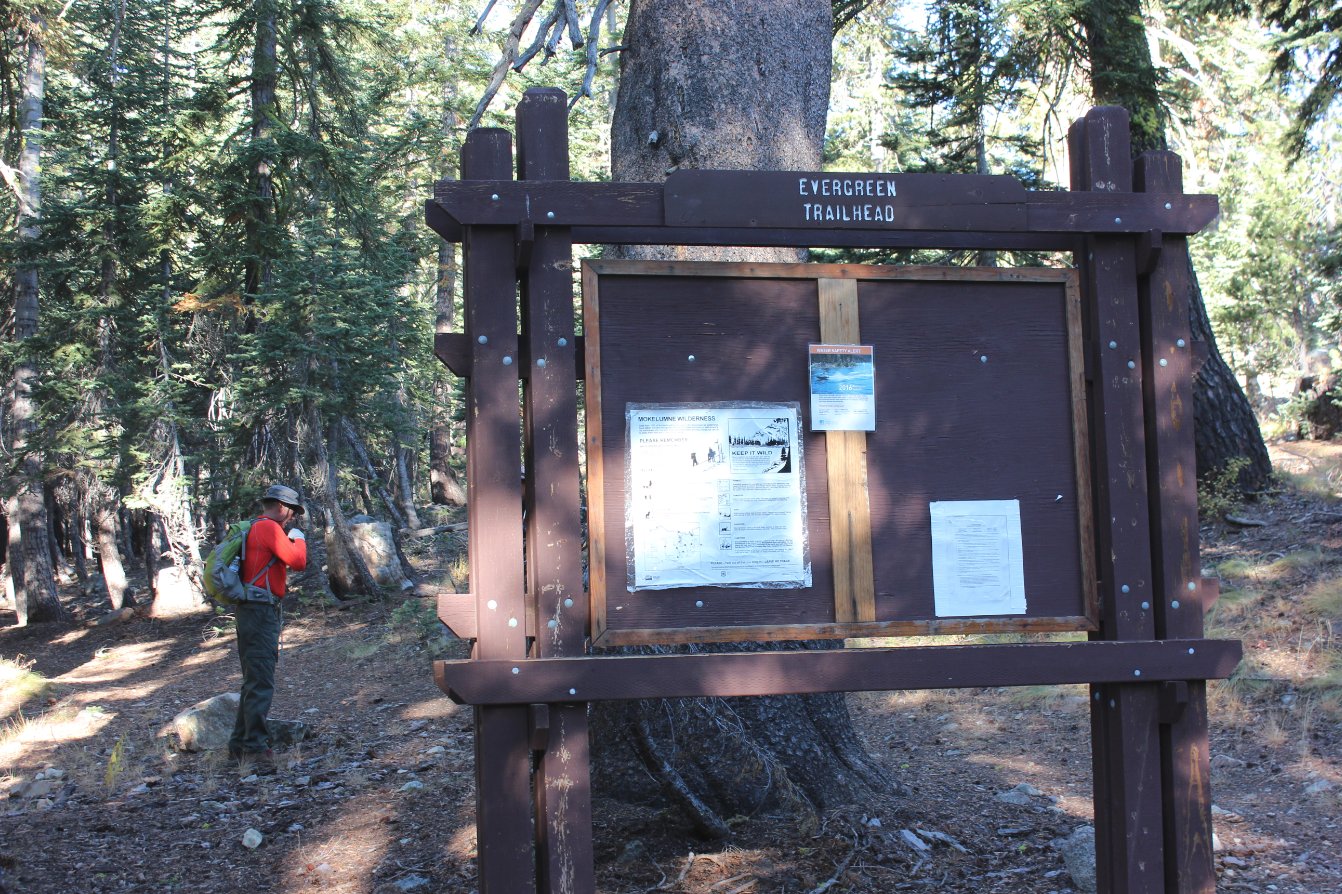
The trailhead for Evergreen
Trail, right at the entrance to the Upper Blue Lake Campground at the
north and of Upper Blue Lake. |
 |
|
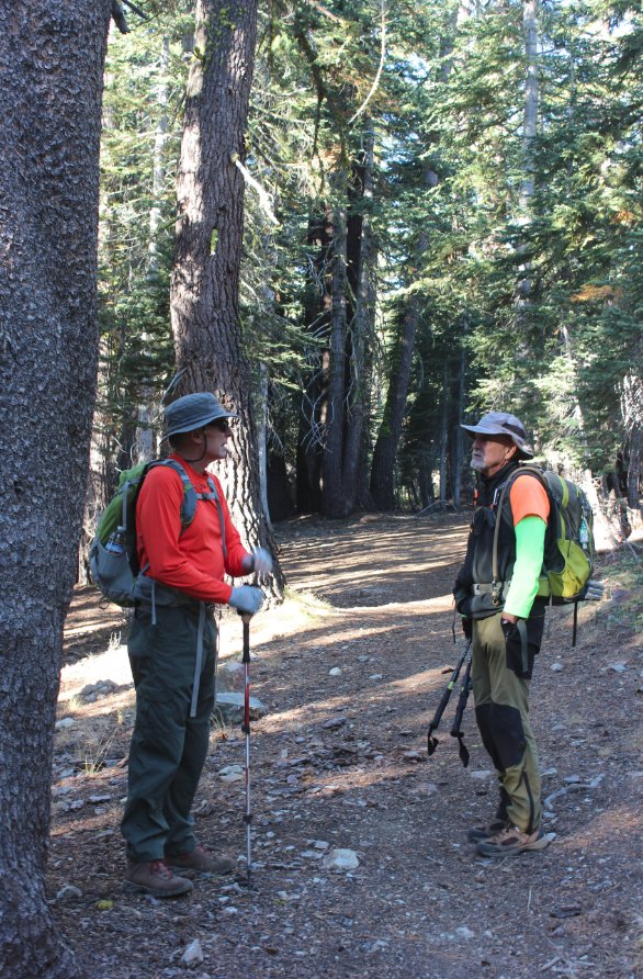
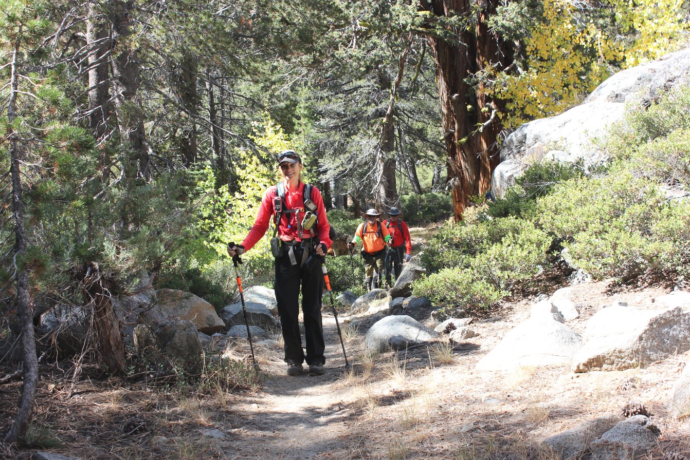
Greg and Mark at the start of
the trail, heading up into the early forested section of the
hike. |
 |
|
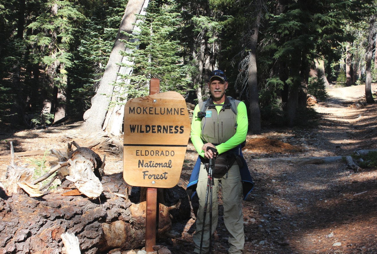
Yours truly at the Mokelumne
Wilderness sign less than a half mile into the hike. |
 |
|
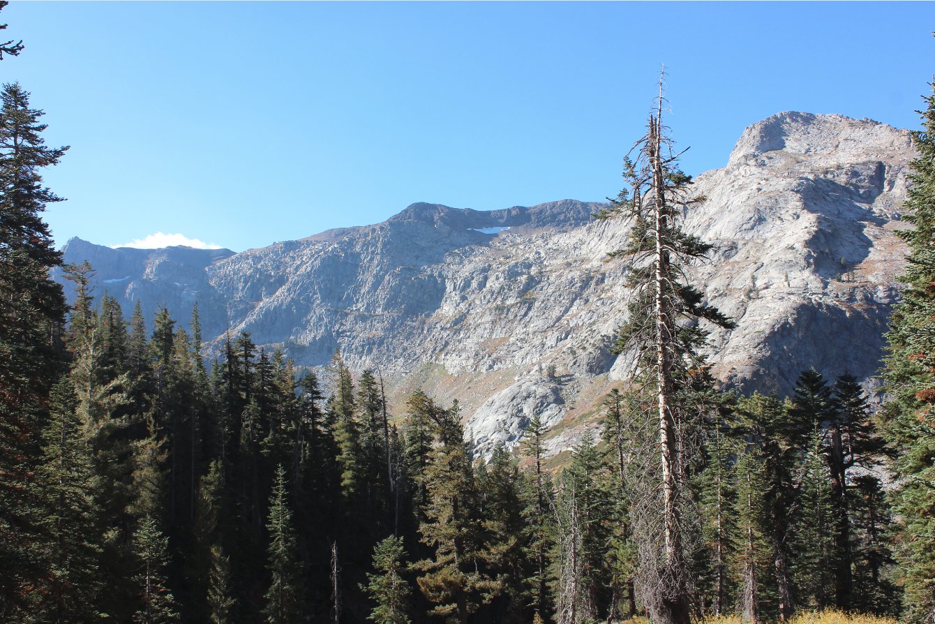
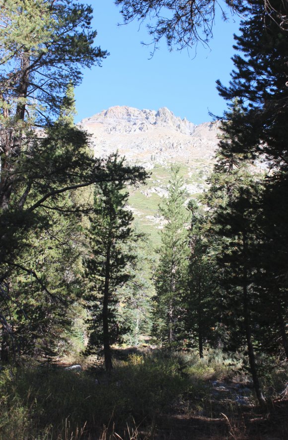
a great view of Deadwood Peak
presents itself to the south about a mile into the hike. The
peak is in the middle of the picture, and the lighter granite
outcropping to the right is an extension peak north of Deadwood. |
 |
|
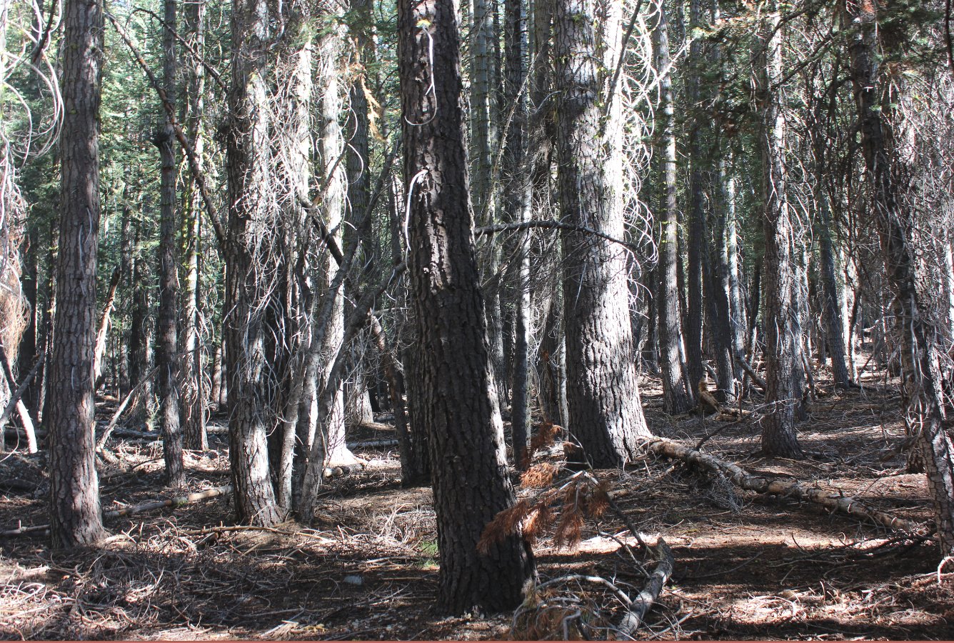
Dropping down to the canyon
floor the trees thicken up, hiding the great views of the back of Round
Top which will be visible in the next mile. |
 |
|
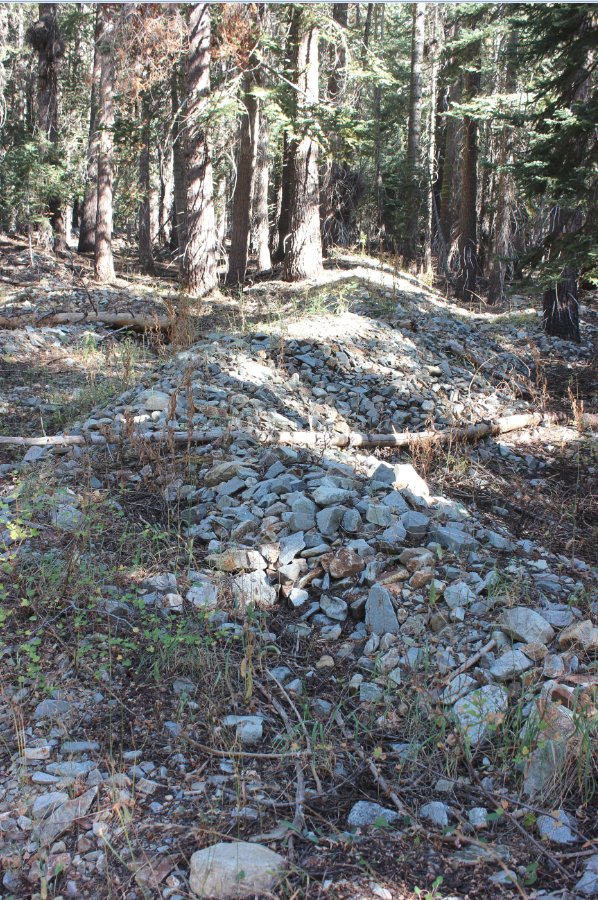
The piles of rocks along the
trail between junctions show some evidence of the old mining community
which numbered 600 people at its peak. Everything else has
been washed away by massive thaws which have occured since then. |
 |
|
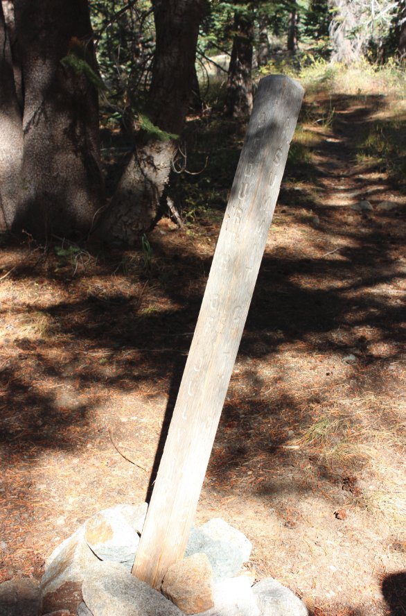
Junction signs along the way
have seen lots of tough winters, and the rock bases are all that are
keeping them upright these days. |
  |
|
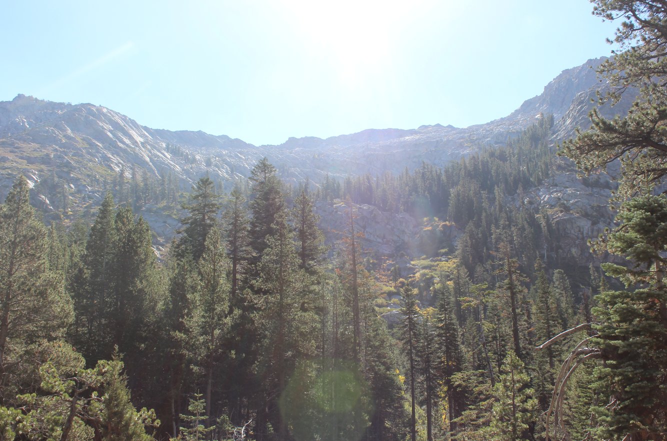
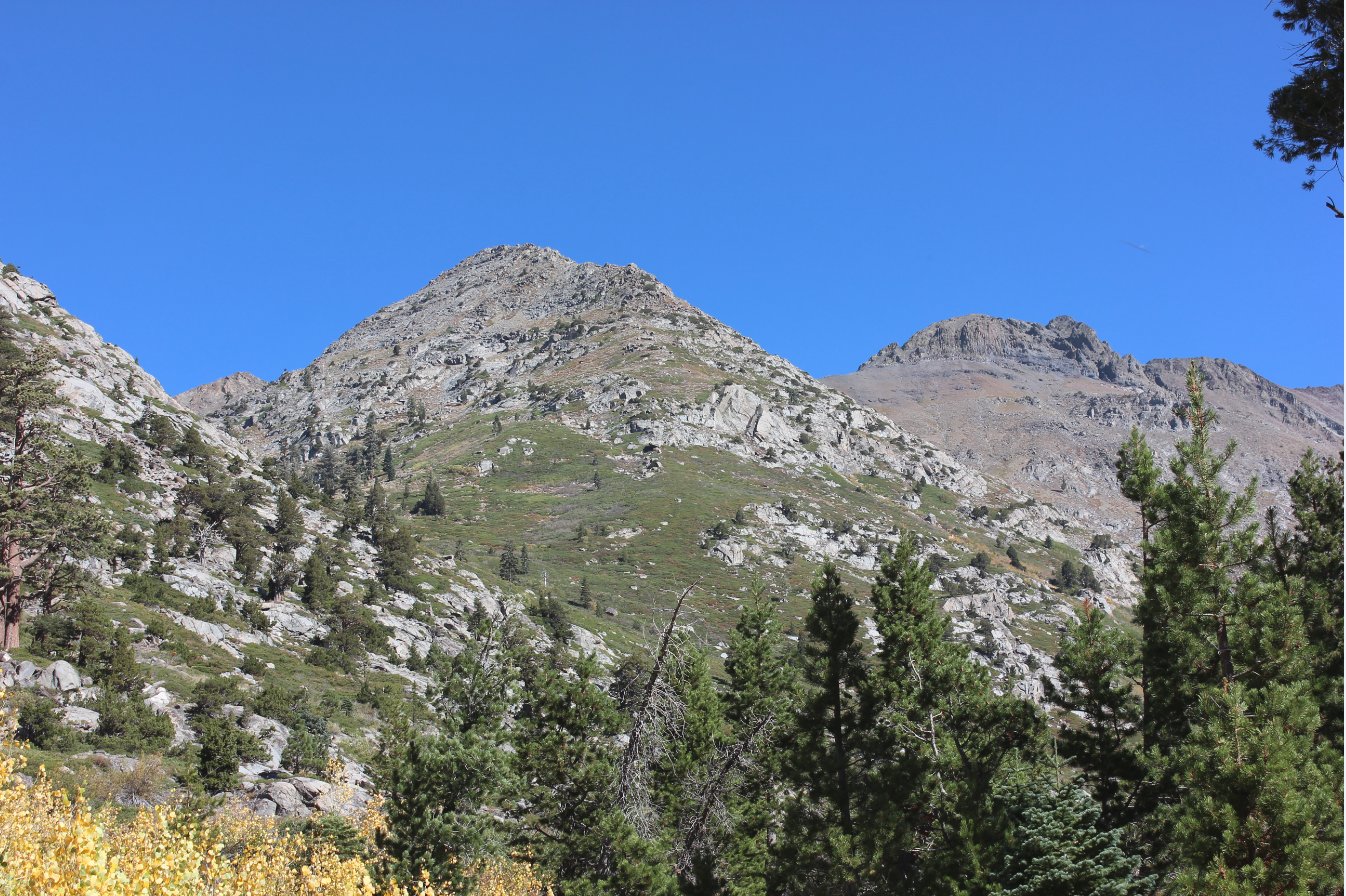
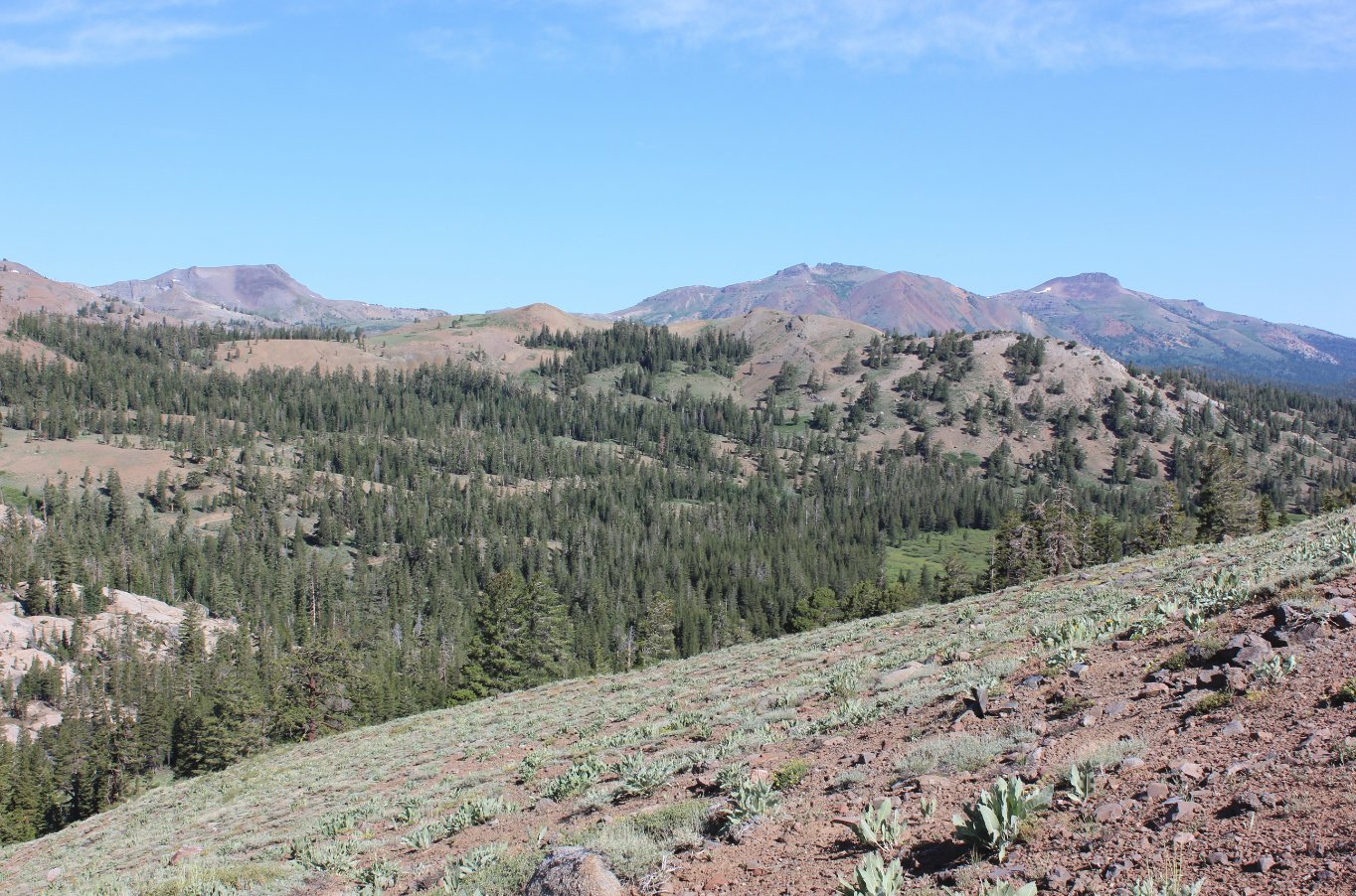
Through
the breaks in the trees you can see 3000' up to the back of Round Top
mountain, the tallest in the Mokelumne Wilderness at over 10K feet.
|
 |
|
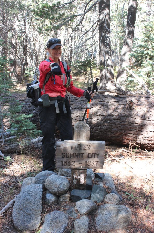
Tracey
pointing out the sign indicating the original site of Summit City.
Historians have since speculated that this is actually in the
incorrect location, but it is still a fascinating historical location.
Hard to imagine a bustling community of 600 people this far
into
a remote location. |
 |
|
Looking south into Devil's
Corral, a granite lined area with a large corral-type area 1000' feet
above the canyon floor. |
 |
|
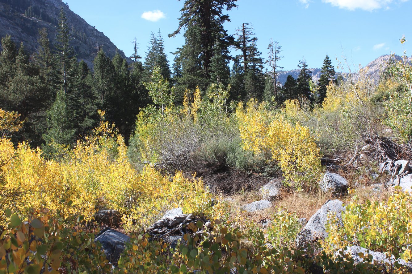
In early fall this area has
some pretty spectacular colors with all of the Aspen along the way.
|
 |
|
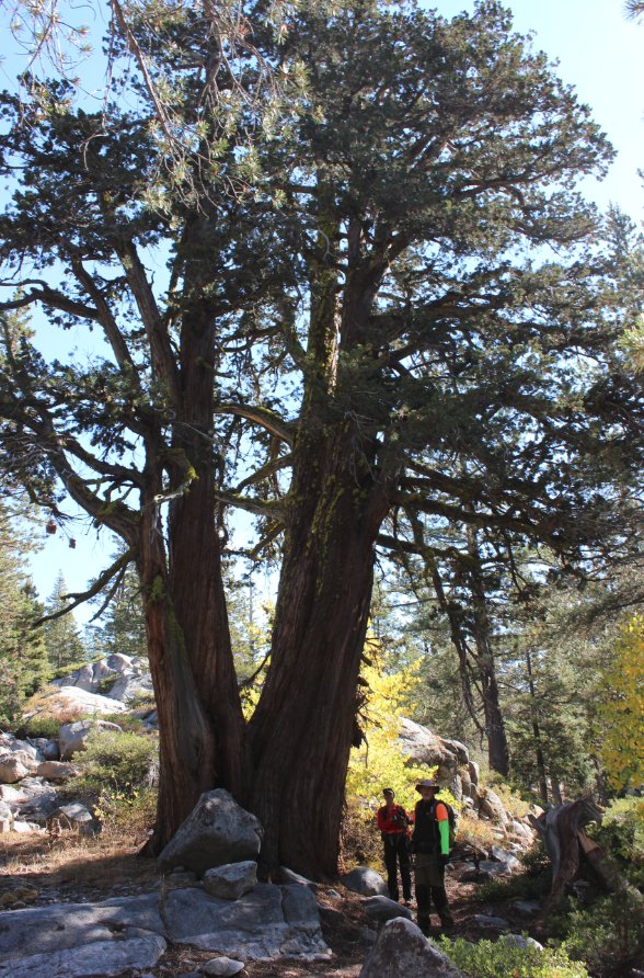
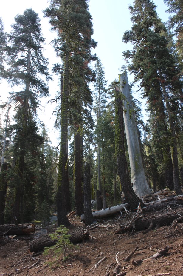
Along the trail we passed some
pretty impressive trees which dwarf my hiking partners Greg and Mark. |
 |
|
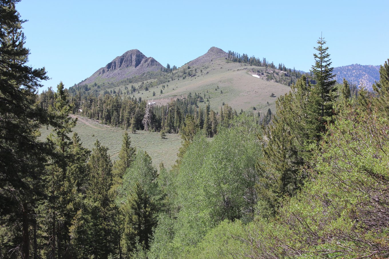
Looking
back the way we came you can see Round Top in the far distance, and the
unnamed peak closer that the Fourth of July Trail heads up between. |
 |
|
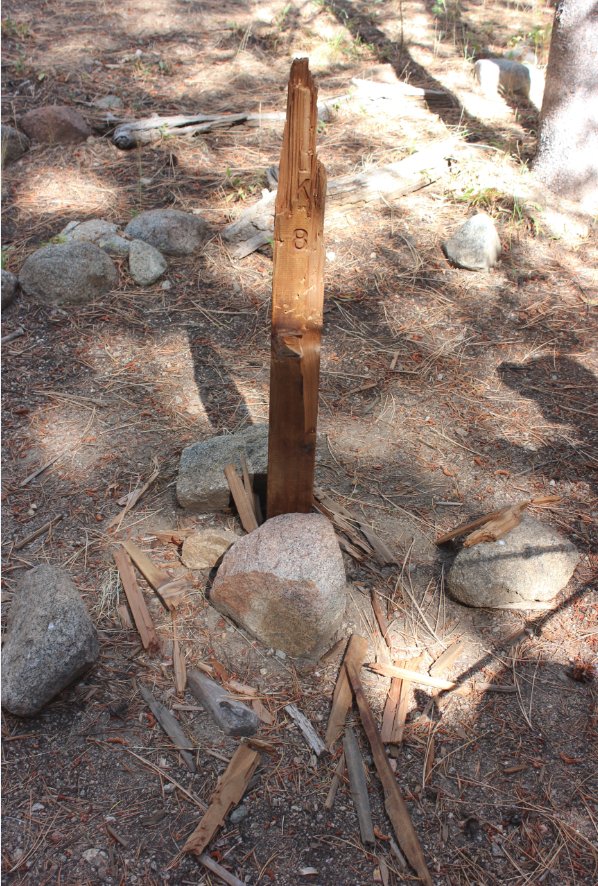
At the
trail junction at Horse Canyon the marker post has been shredded.
Possibly by a bear, but more likely by someone with a hatchet
as
it was splintered on all sides. |
 |
|
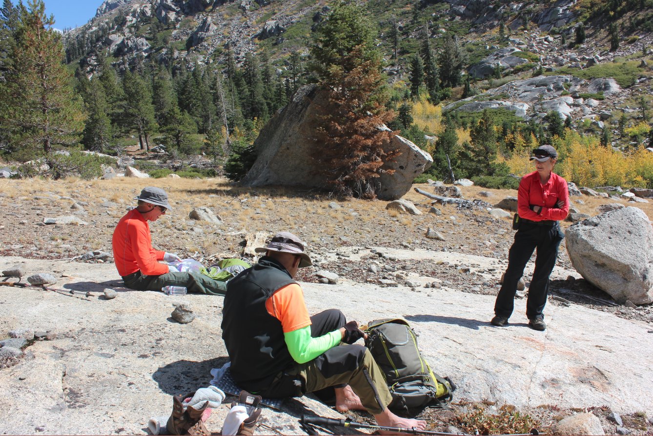
On
the way back we found a great lunch spot below Devil's Corral which had
unblocked views of the impressive granite walls on both sides of us. |
 |
|
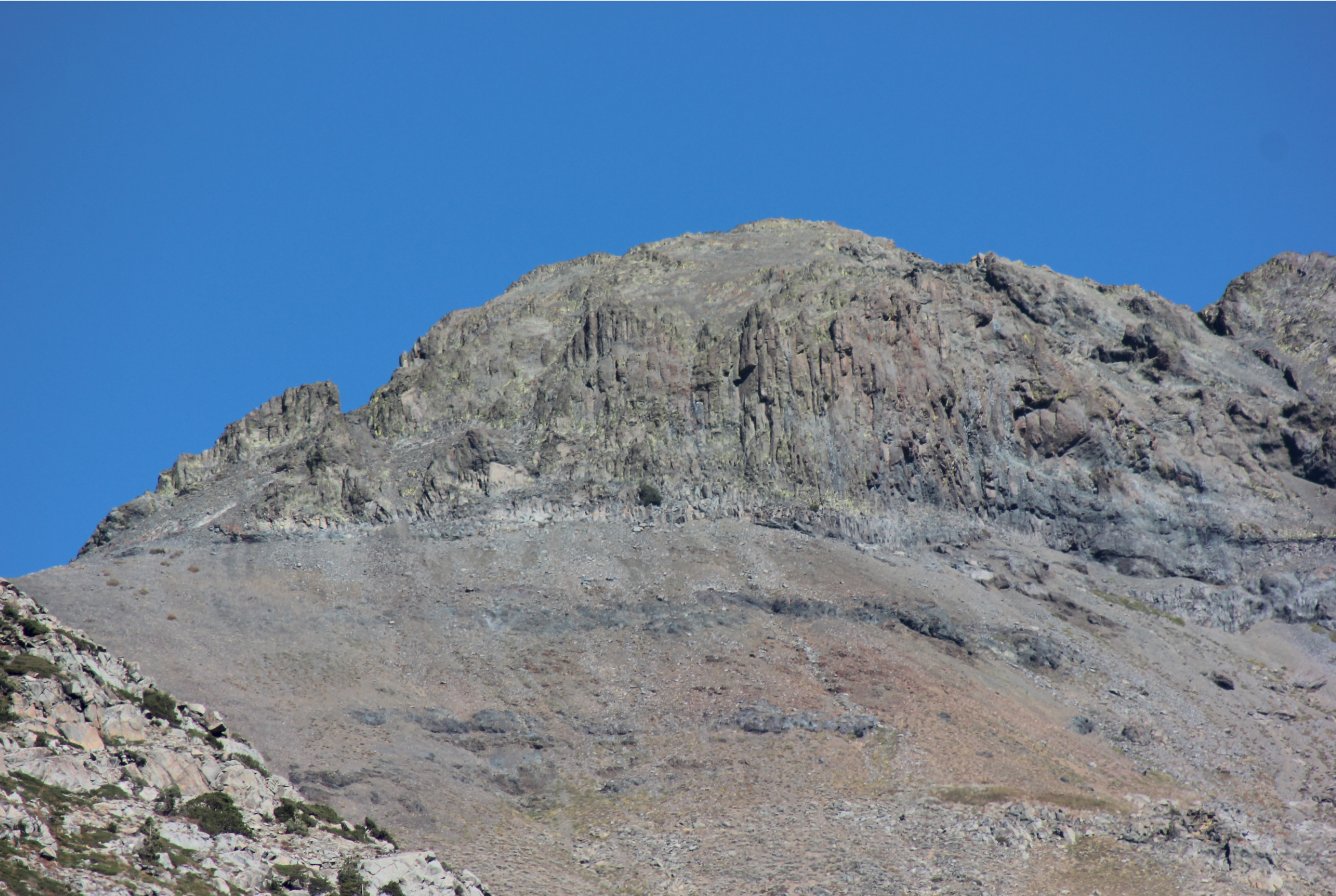
This
is a close up of Round Top, showing the gully and the final climb up to
the peak that our group has made numerous times in the past. |
 |
|
Our
group making the long climb back up toward the trailhead from the
canyon floor, a gain of about 1700' in a little over a mile and a half. |
 |
|
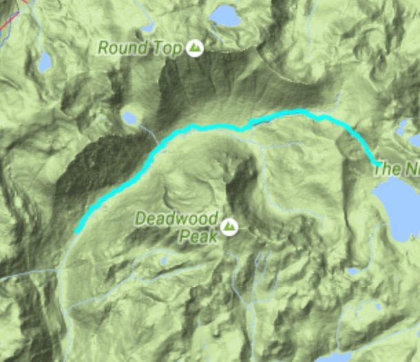
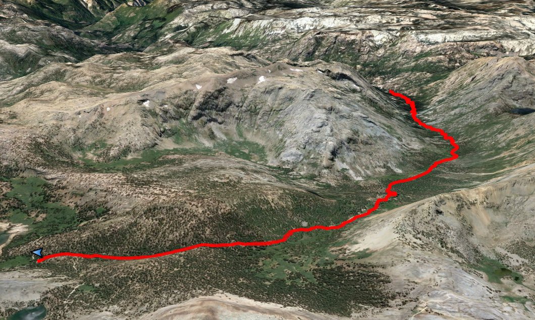
GPS Track of the full
hike. |
|