Distance: 16.4 Miles
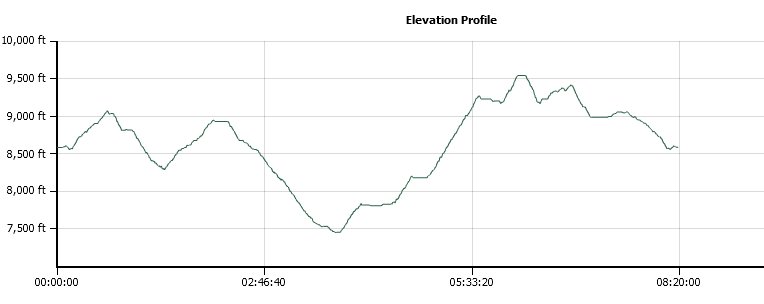
Vertical Gain: 3300'
Group Size: 3
Hike Rating: Easy Moderate Hard Strenuous
 GPX for
this trip
| Start Coordinates: | N 38 41.697 W 119 59.363 | End Coordinates: | Same as Start Coordinates | ||
| Car Shuttle Req'd: | No | Parking Directions: | Take Highway 88 to the parking area at the Carson Pass ranger station on the west side of the road. Pay the day use fee (summer only) and find the trailhead just to the right side (north) of the ranger station itself. | ||
| Hazards of Note: | Steep
climb out of Summit City canyon halfway up to Round Top Lake of over
2000' in just a couple miles. Weather in this area can change
quickly so be prepared for various temperatures and rain. |
Crowd Factor: | Limited to none after the first mile all the way to the last three miles.. | ||
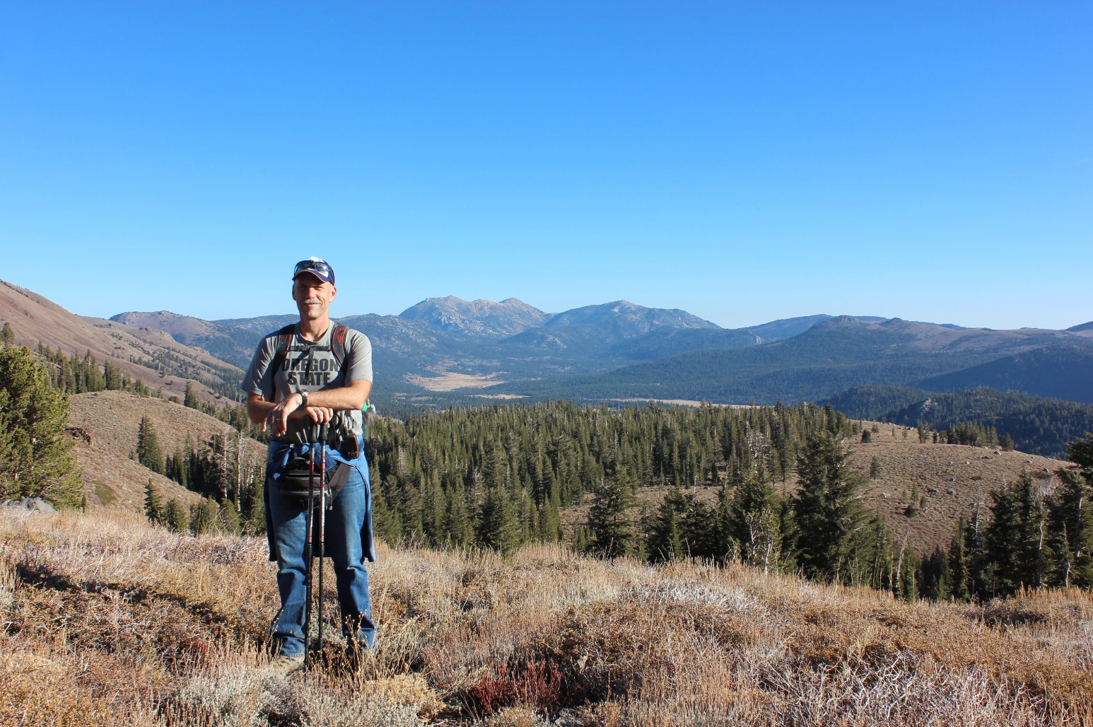
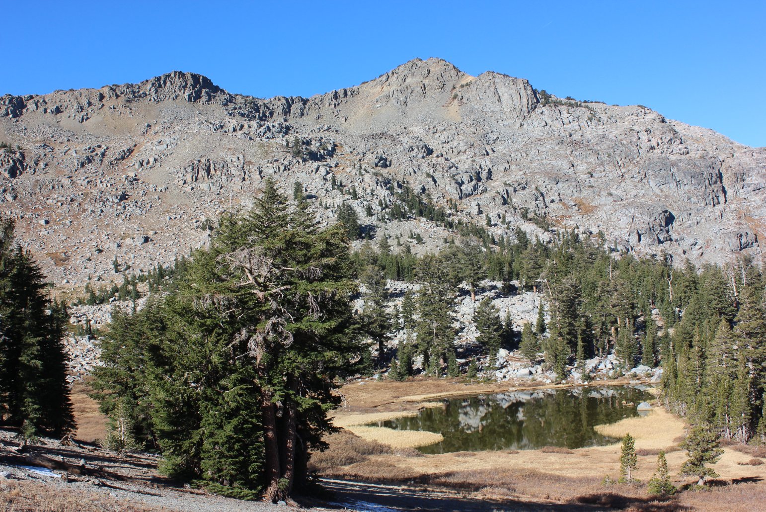
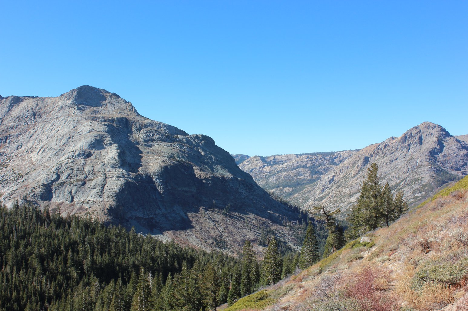
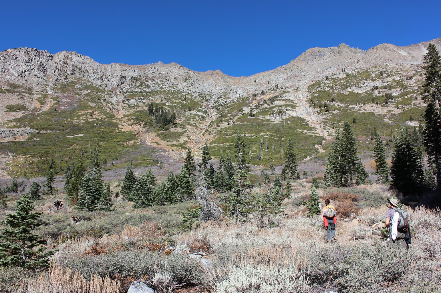
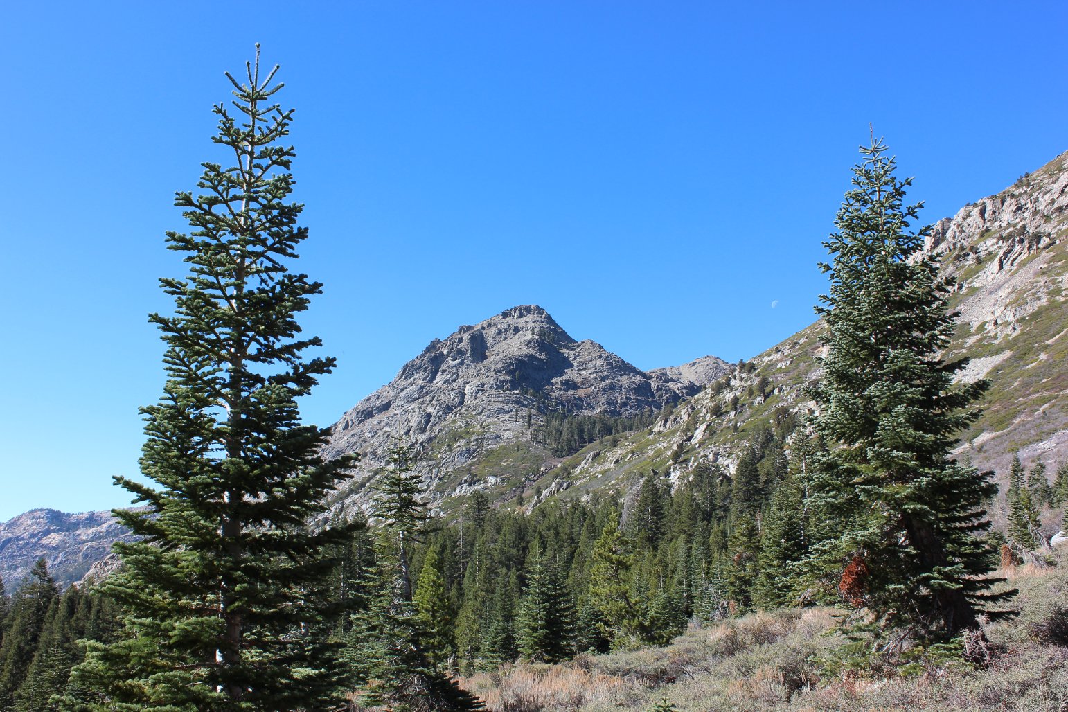
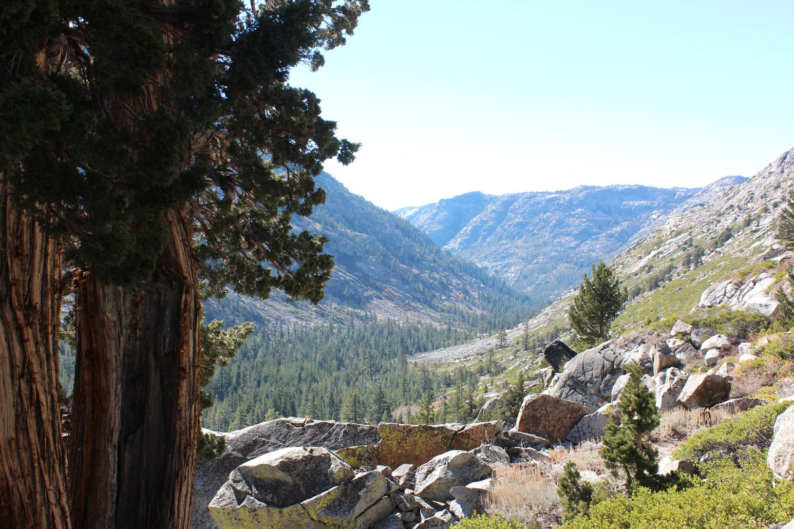
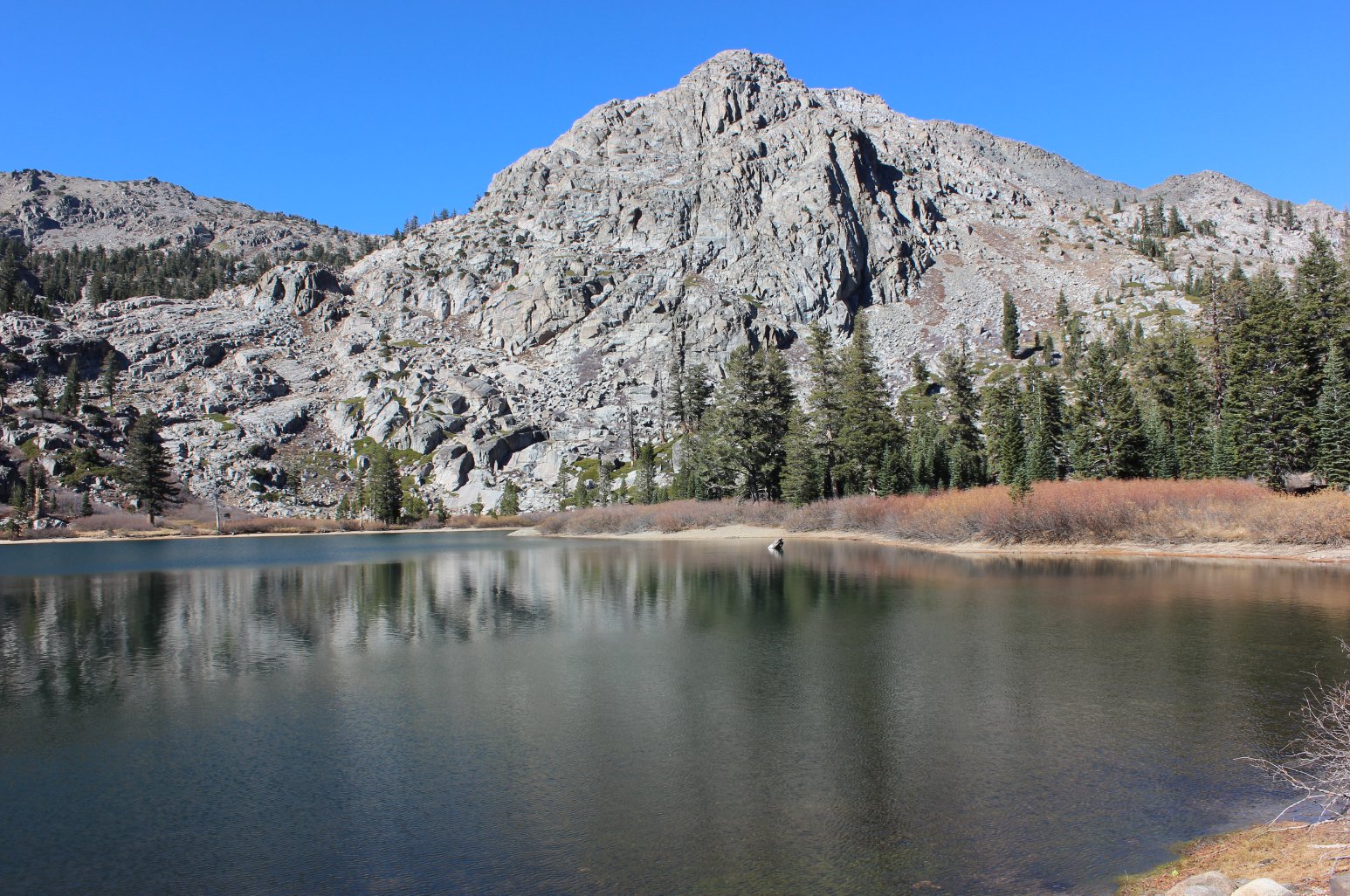
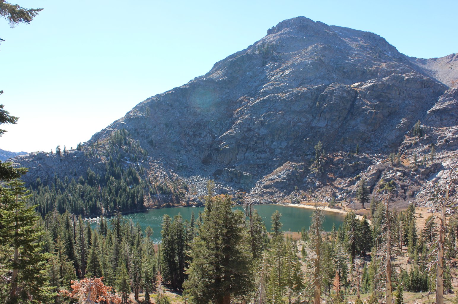
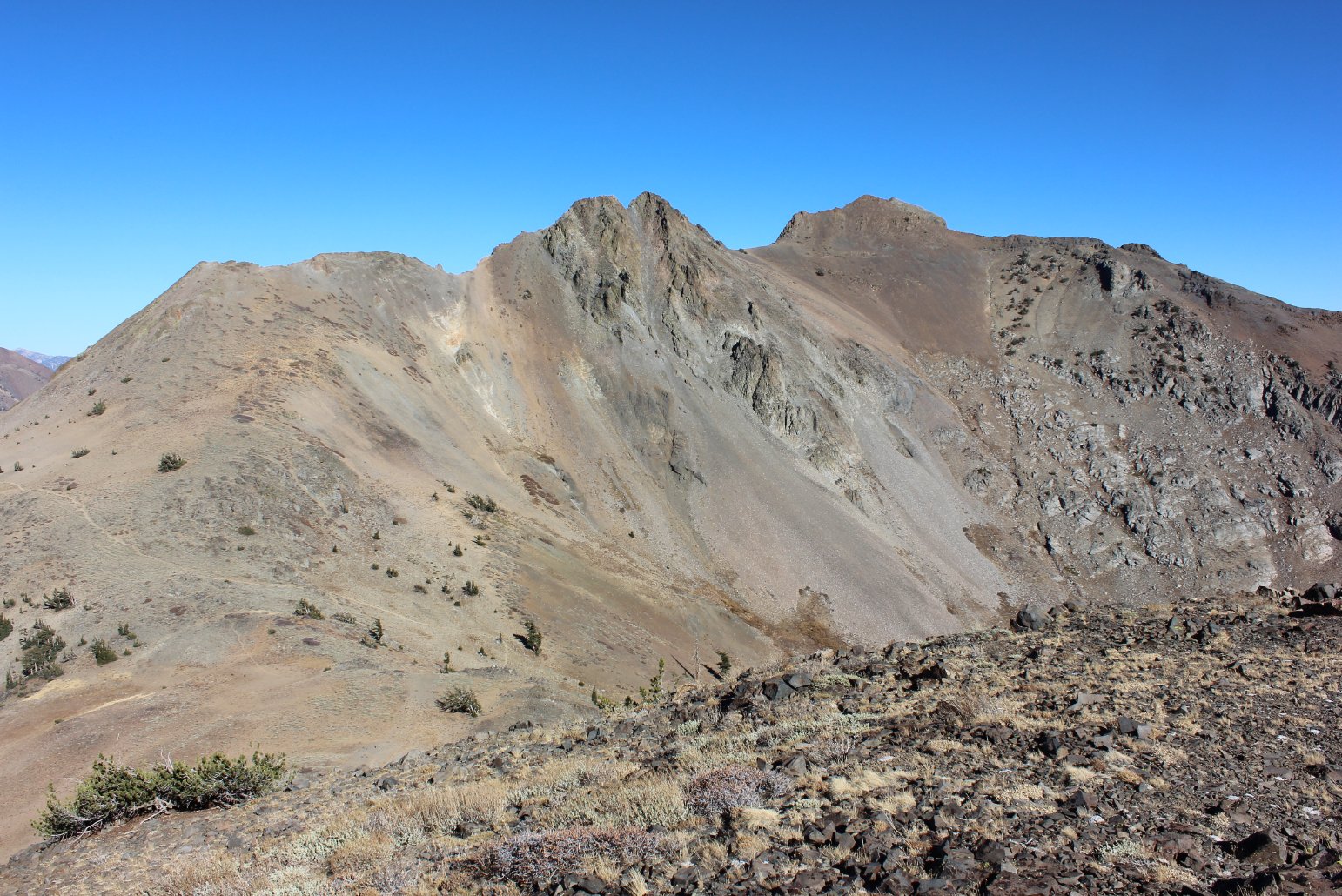
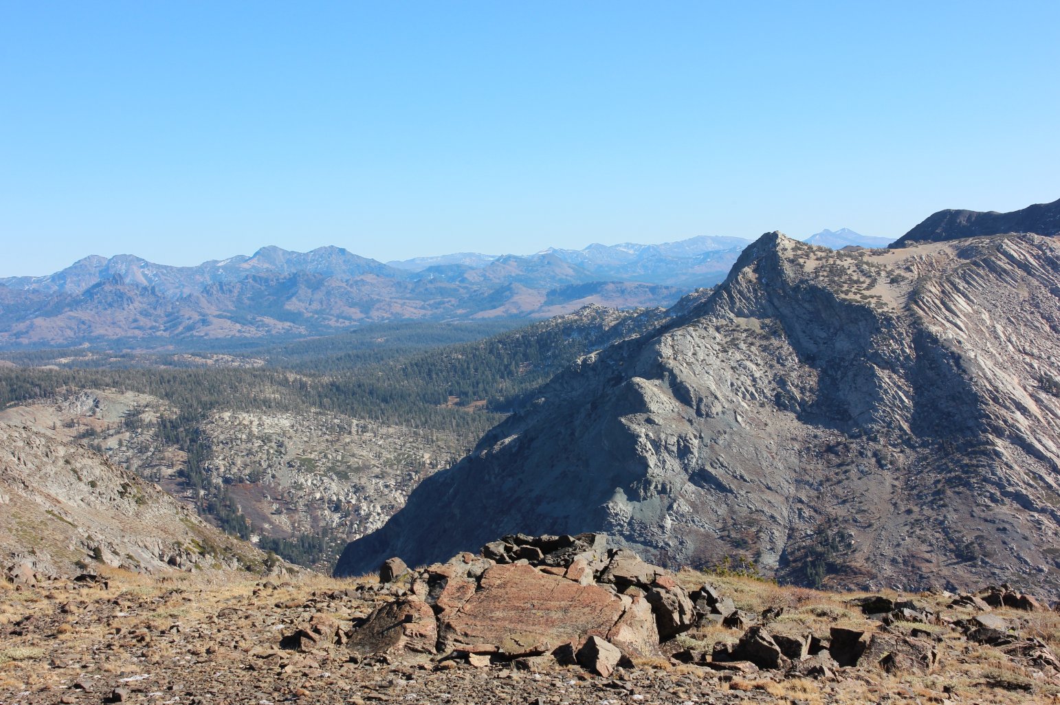
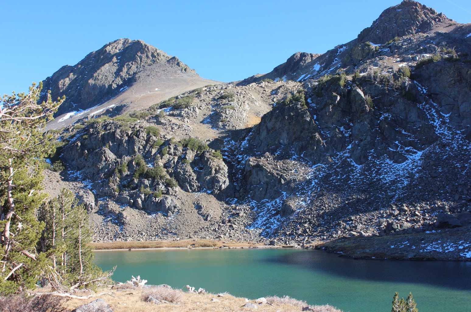
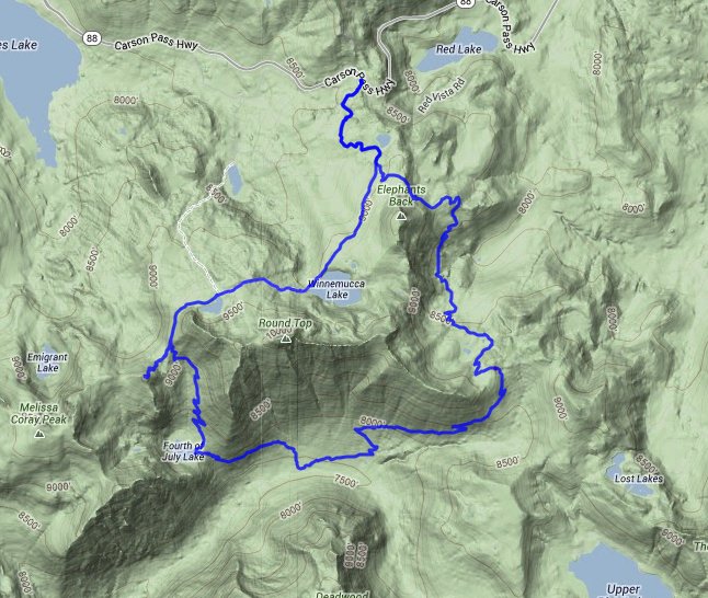
| General Notes: From the parking area you start along the Pacific Crest trail toward Lake Winnemucca for a little over a mile. You will reach a signed marker post for the PCT to head off to the left, and you will follow this to the south. Within a half mile you will be presented with a spectacular view of the area south of Round Top mountain area, and the trail will soon drop down into the Forestdale Divide area as you head toward Summit City. The trail will parallel a 4WD road for a little while, winding down and then back up through a meadow filled area. At the top of the gap between Forestdale and Summit City, you will need to find the marker that points toward Summit City Canyon and not continue along the Pacific Crest Trail toward Blue Lakes. From here the trail drops down into Summit City canyon, with three main switchbacks spaced about half a mile apart. If you do not find all three of them, including the last one which has a slight use trail that continues into nothing, you will not be on the trail. Once down near the bottom of the canyon, you will have great views of Devil's Corral to your south, and the Deadwood Peak ridgeline high above you to the south. Follow the trail along the canyon floor for a little under 3/4 of a mile, passing by a few campsites that are frequented by hunters in the area, and look for the signpost that will indicate the start of a steep and long ascent up to 4th of July Lake. This trail starts climbing straight up the mountain, with the peak of Round Top rising almost 3000' directly above you, and then bends to the left to lessen the sharp angle of the trail until you find a nice resting point at 4th of July Lake. Follow the trail around the east end of this lake, and then begin a very steep climb up through exposed rock and brush for over a mile until you reach the pass between 4th of July Peak on your left and the Sisters on your right. You can take a short 3/4 mile detour up to the top of 4th of July Peak for some pretty amazing views all around. Otherwise, continue on the trail until you reach Round Top lake, and come to the junction with the Round Top Trail and the Lake Winnemucca Trail which you are on if you continue straight ahead. It is just over 3 miles from here back to the parking area, and the end of this strenuous hike. |
|||||


