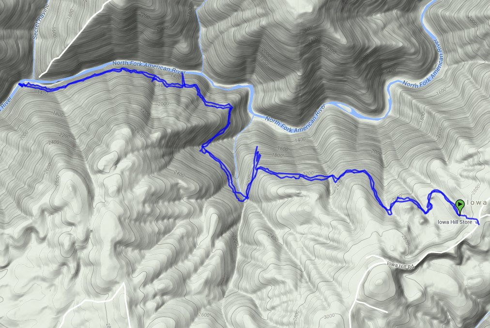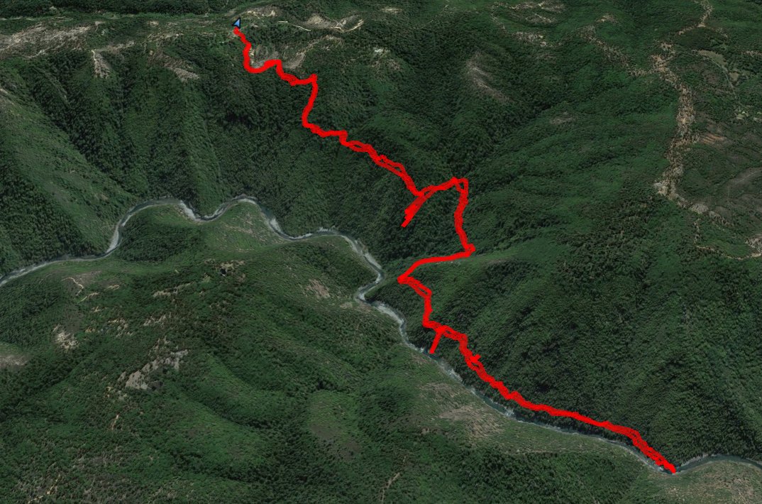
Distance: 7.75 Miles
Vertical Gain: 1500'
Group Size: 3
Hike Rating: Easy Moderate Hard Strenuous

 GPX
for
this trip

| Start Coordinates: | N 39 06.421, W 120 51.606 | End Coordinates: | Same as Start Coordinates | ||
| Car Shuttle Req'd: | No | Parking Directions: | Take Highway 80 to the town of Colfax, and exit off to the south. Turn right on Canyon Way, and follow it about 3/10 of a mile to Iowa Hill Rd. Turn left, and you will follow this narrow, winding road for about 10 miles all the way to the parking coordinates in the town of Iowa Hill. Park on the side of the road opposite the General Store to begin your hike. | ||
| Hazards of Note: | Rattlesnakes, ticks, poison oak, mountain lions and steep trail. | Crowd Factor: | Negligible. This is a relatively unknown continuation of the very popular Steven's Trail from Colfax on the other side of the river. | ||
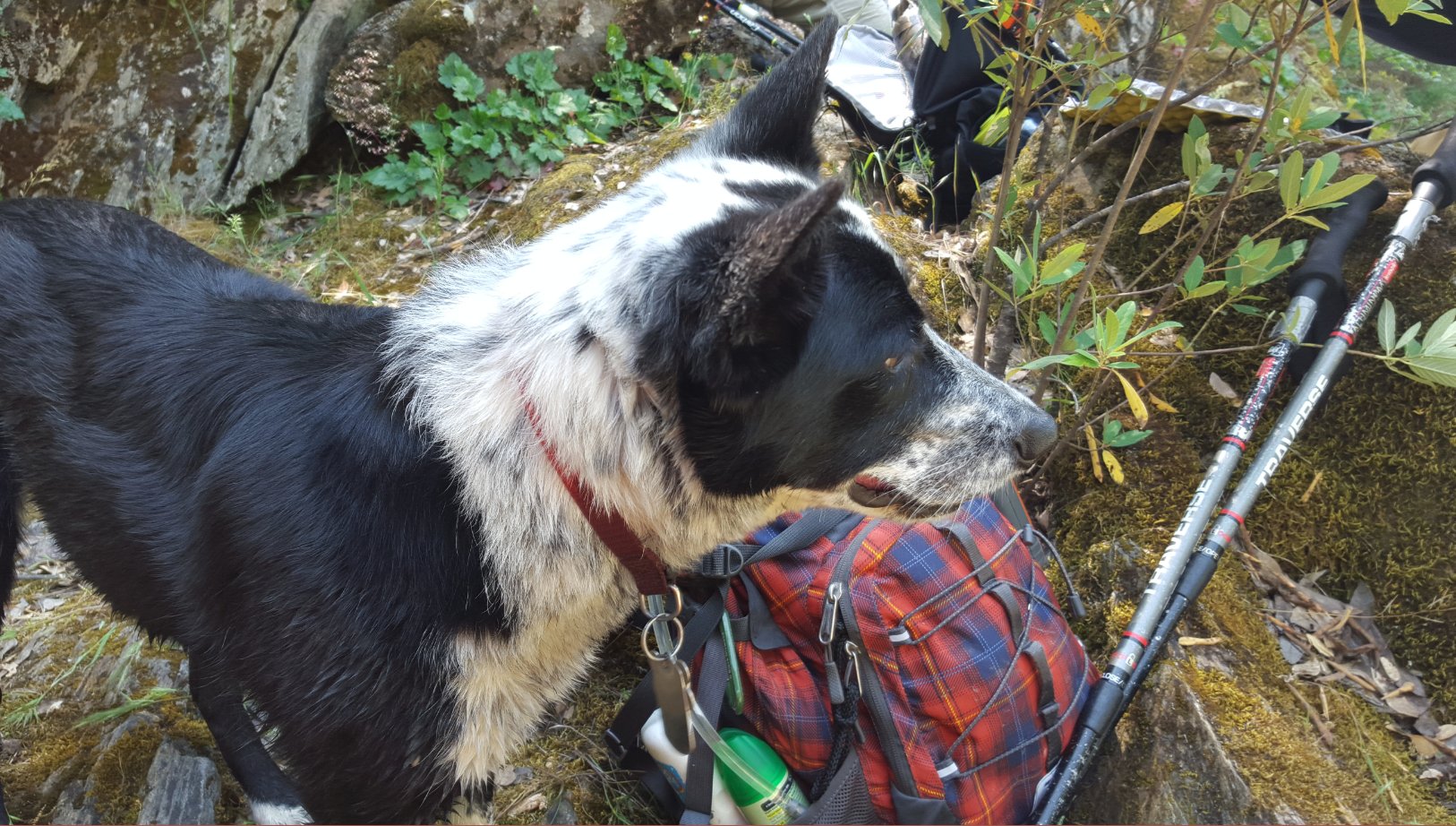
| General Notes: From the parking spot cross over Iowa Hill Rd, and probably meet up with one or two of the local dogs (if you haven't already) who love to take people on the trail down to the river. Talking to the owner, one of the dogs likes to do the trek 2 or 3 times in a single day. The two dogs guiding us on this day were very patient, and would wait, and bark at us whenever we dawdled a little too long for their preference. About 1/2 a mile into the trip is a small pile of rocks on the right, which lead a short way to an open pit mining operation. Be careful around this, as we dropped a rock down and it took a long time for it to hit bottom. Past this the trail heads into a mostly forested section, gradually working its way down toward the river with limited views of the water far below from time to time. Rounding a bend after a couple of miles the forest opens up, and you are presented with much better (and much closer) views of the river below. About two miles in there is a washed out section of trail which requires some careful climbing up the rocks to continue onward, which can also be walked around on the high side by using a side trail which is faint but obvious just a little before the washout area. It is covered with poison oak, however, so it may or may not be a good option. Nearing the river, you can see the trail meandering along the opposite bank, and if you are very lucky you will seem some mining camps and possibly even some of the local dredgers in action. The turnaround spot is almost directly across from the turaround spot from the other Steven's Trail section, but offers enough isolation to feel you have the river all to yourself at this point. The trail back up is long and uphill all the way, but the mostly shaded aspect of it makes it a better afternoon or summer adventure that the scorching opposite side offers. |
|||||

