|
|
Stevens
Trail hike
|
|
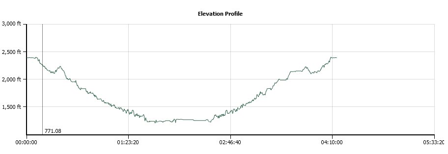
Trip Date: 04/16/2014
Distance: 8.0 Miles
Vertical Gain:
2100'
Group Size:
7
Hike Rating: Easy
Moderate
Hard
Strenuous |
 GPX for
this trip
GPX for
this trip
|
|
 |
|
The trail marker for the
Stevens Trail right at the parking area. Pretty well marked
but should also warn of the extreme poison oak infestation. |
 |
|
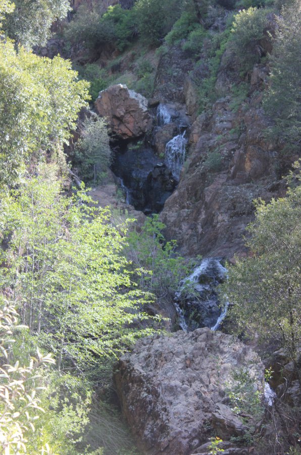
The first of a few waterfalls
we passed along the way. There is a use trail up on the left
side about halfway to the top. |
 |
|
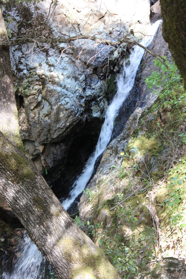
The second waterfall had to be
crossed right at the top of this picture. If it were running
much higher we would have had to go back down the trail a bit and take
the bike path below it to get by. |
 |
|
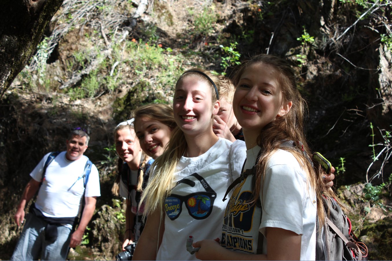
Most of the group paused for a
quick break on the way down to the river. |
 |
|
About halfway down the trail
there is an old mine which bores deep into the mountainside.
The group was curious but the risk of caveins and steep
drop-offs is too great. |
 |
|
A look west at the North Fork
of the American River and the bridge that connects Colfax to Iron Hill
a ways to the south of the river. |
 |
|
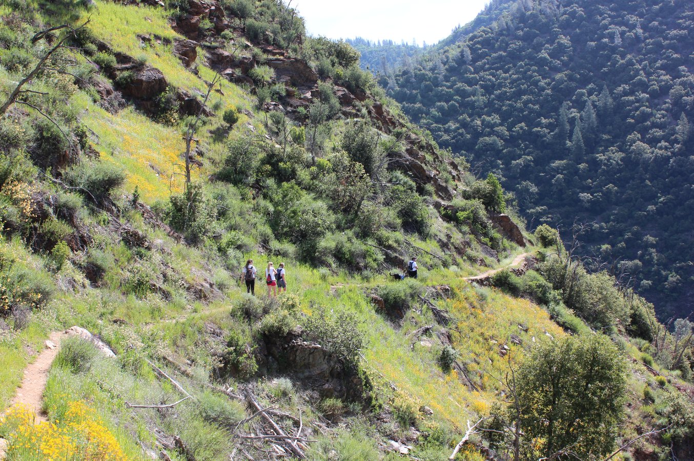
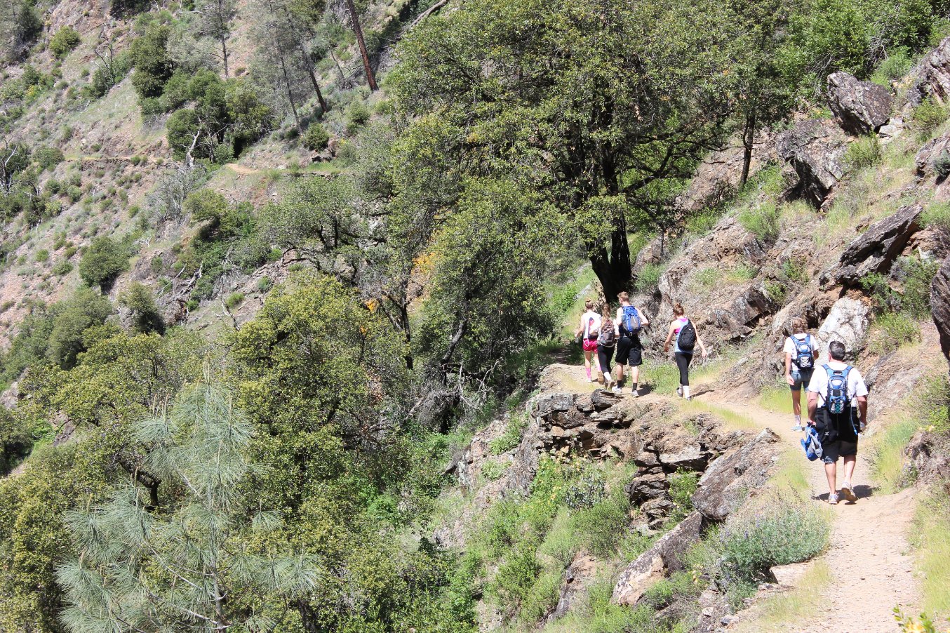
During the third mile the
trail gets very thin and skirts along the edge of the hillside.
You need to watch your step in this section.
|
 |
|
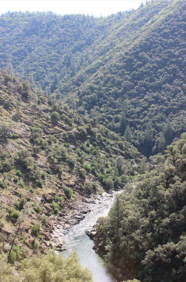
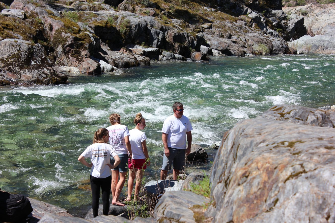
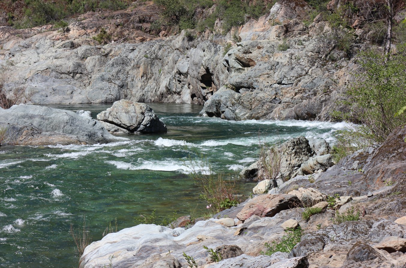
Looking east at the wild
river, where there were a couple of gold panners trying their luck far
below. |
 |
|
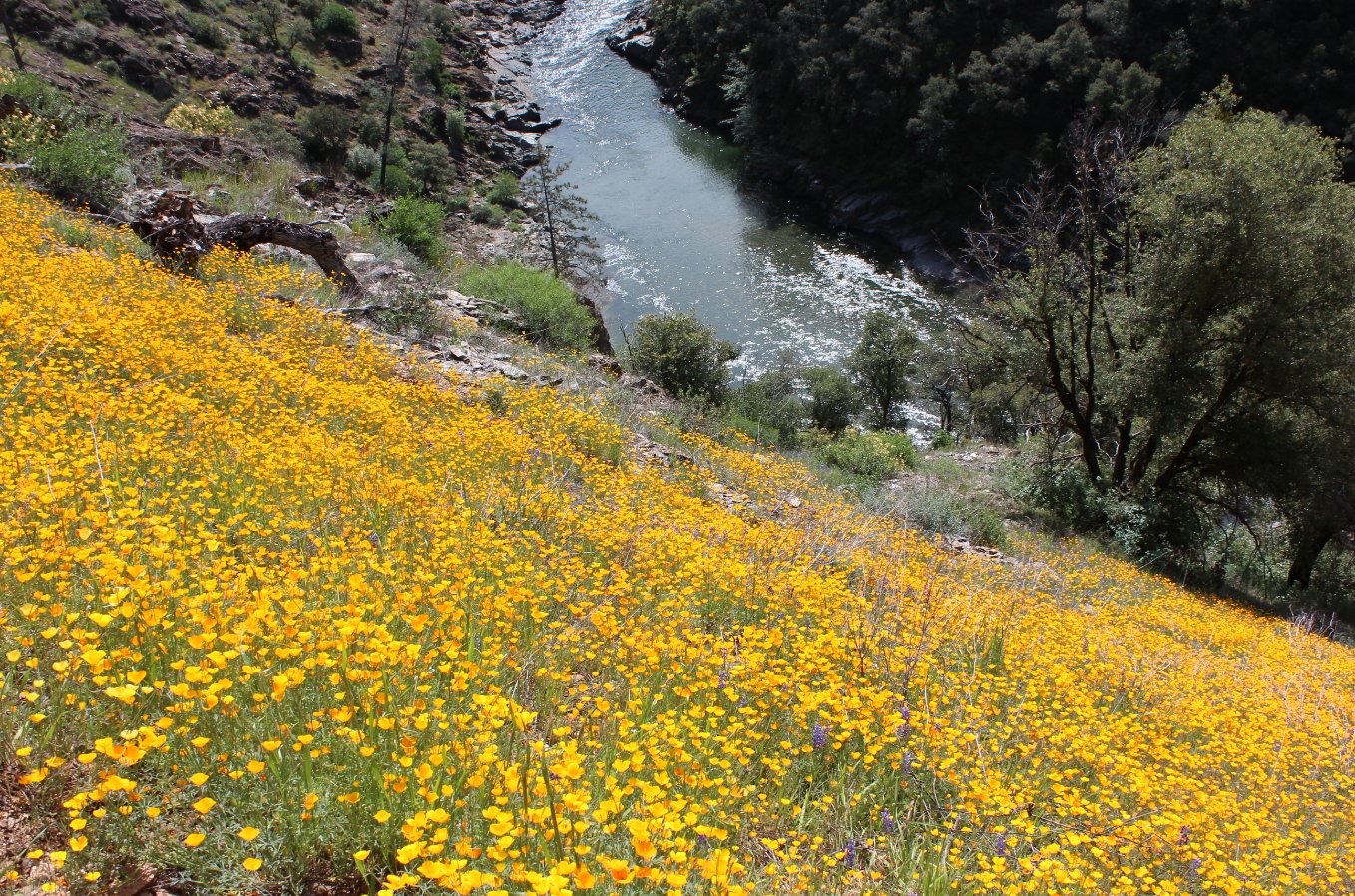
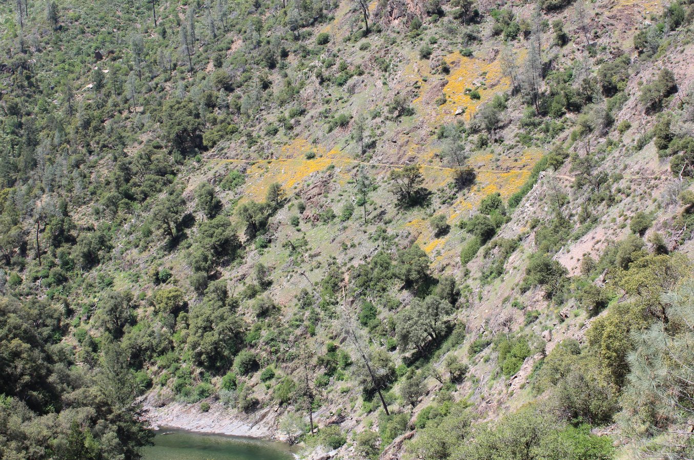
Along this part of the trail
it was very steep, but the flowers were plentiful and in an amazing
display of color. |
 |
|
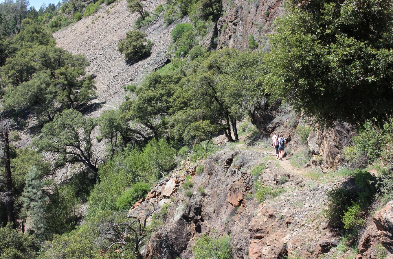
It is a long way down from the
trail, and the slope is pretty steep.
|
 |
|
Once we made it down to the
river at Secret Ravine, we had plenty of places to sit and enjoy lunch. |
 |
|
Somewhere around here,
Stevens, the namesake of the trail had a toll crossing for the miners
heading into town to cash in their finds. Sounds like a gold
mine of his own. |
 |
|
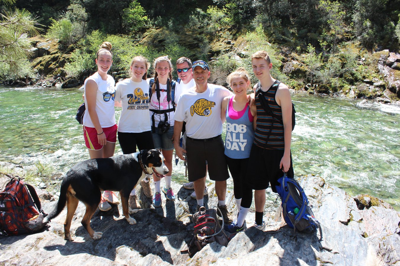
Our group at the river just
after finishing lunch and getting ready to head on back up, up and up. |
 |
|
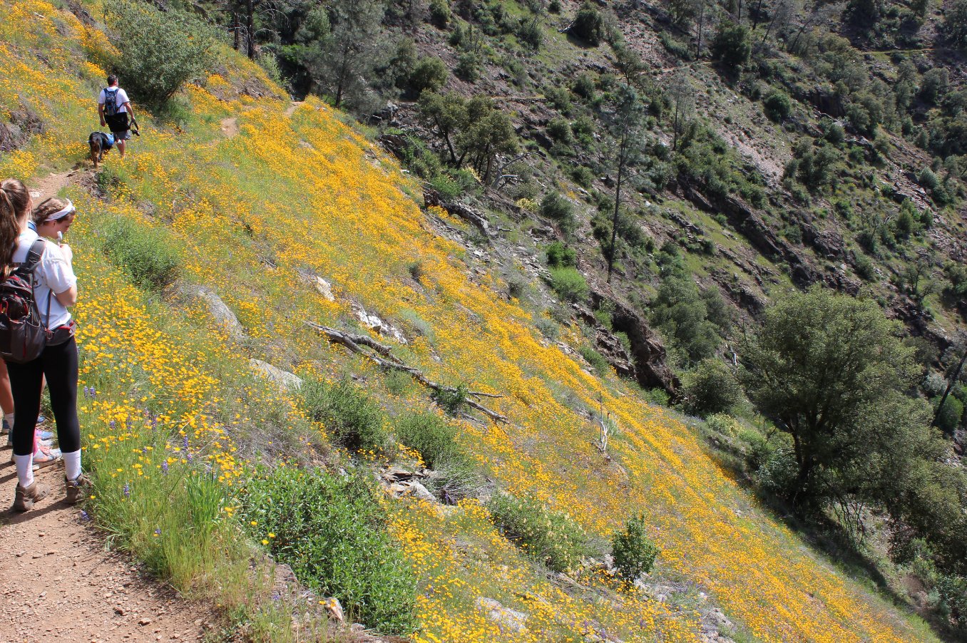
The wildflowers make a very
pleasant display along the trail, spreading down further and further
every year with the blowing of seeds toward the river. |
 |
|
Our timing was good as this
would be a VERY warm hike in the summer, gaining back all that
elevation we lost heading to the river. |
 |
|
One last look at the trail
carved into the side of the mountain. |
 |
|
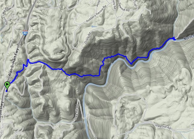
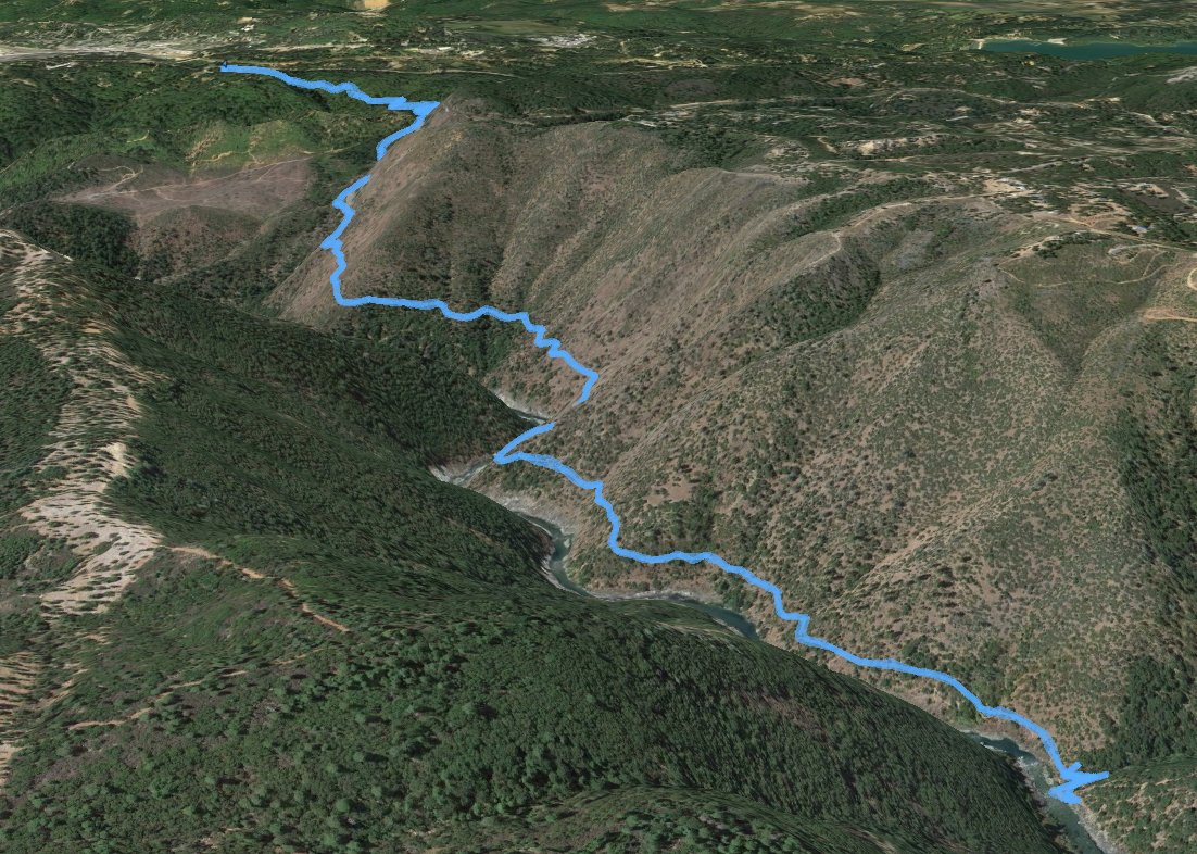
GPS Track of the full hike. |
 |