|
|
Auburn
Confluence to Stagecoach and Training Hill Hike
|
|
Trip Date: 04/02/2014
Distance: 9.8 Miles
Vertical Gain:
1100'
Group Size:
1
Hike Rating: Easy
Moderate
Hard
Strenuous |
 GPX
for
this trip GPX
for
this trip
|
|

|
Start Coordinates: |
N 38 54.901, W 121 02.379 |
|
End Coordinates: |
Same as Start Coordinates
|
| Car Shuttle
Req'd: |
No |
|
Parking
Directions: |
Take
Highway 49 from Coloma toward Auburn. Right before the
junction
with highway 193, there is a wide area on the left side for free
vehicle parking. Get there early, especially on a weekend or
the
space will be filled. |
| Hazards of
Note: |
Rattlesnakes, ticks, poison
oak, mountain
lions. |
|
Crowd Factor: |
Moderate.
This entire area is popular with hikers, runners, mountain
bikers and dog walkers. |
General Notes:
|
|
|
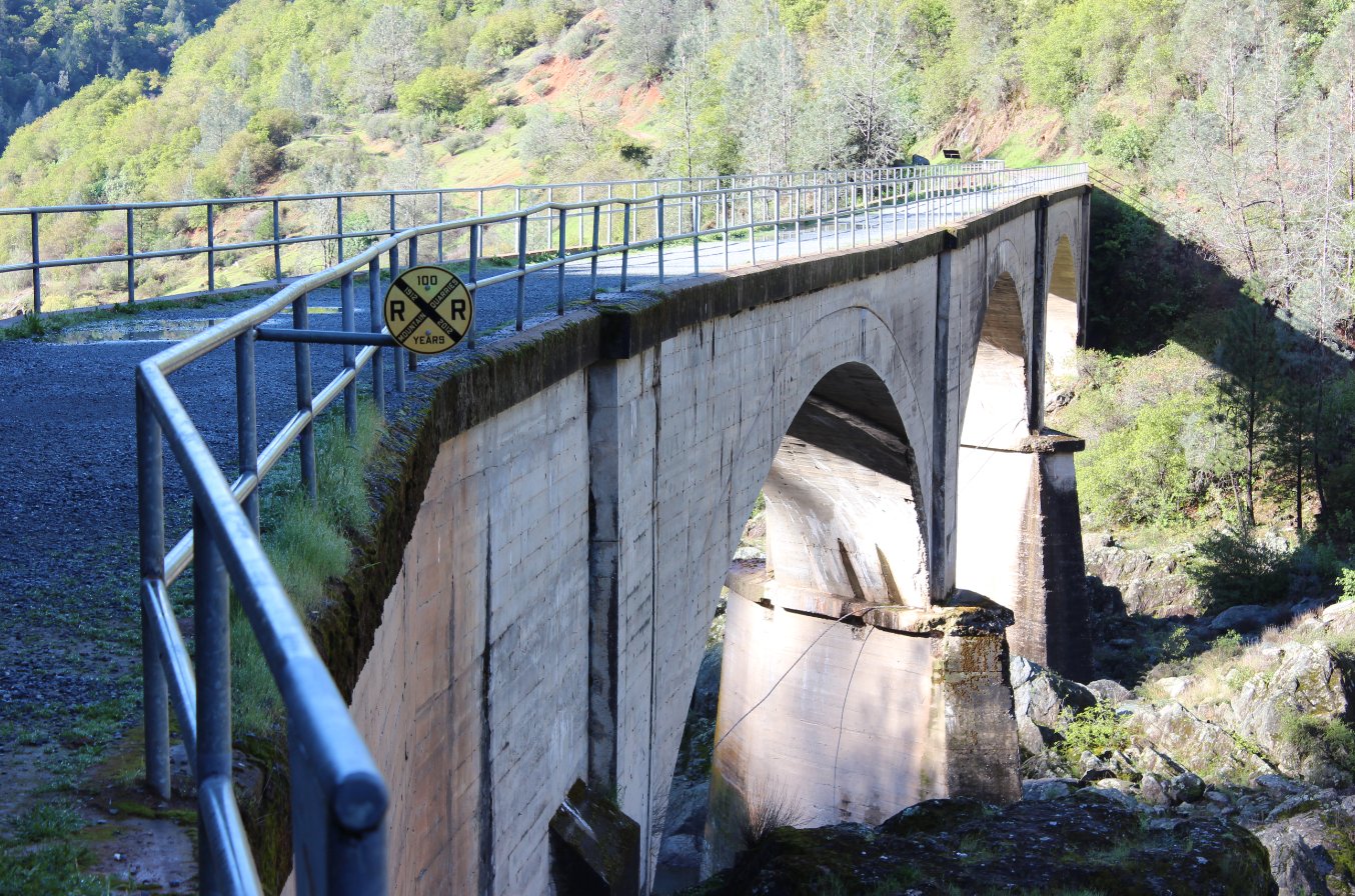
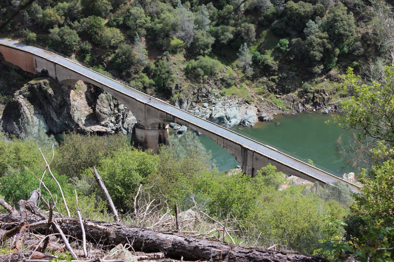
About to cross the "No Hands
Bridge" at the start of the hike. |
 |
|
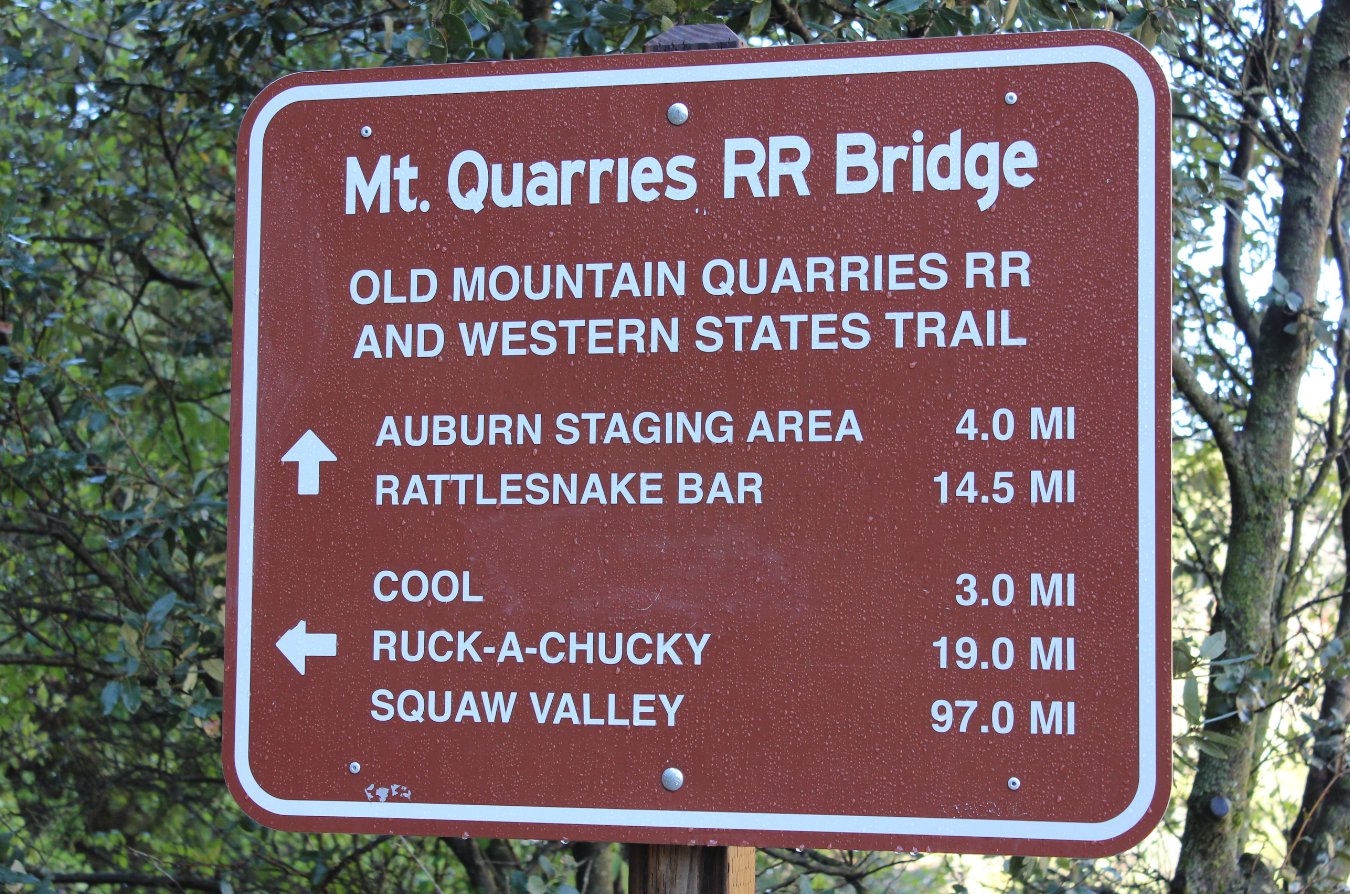
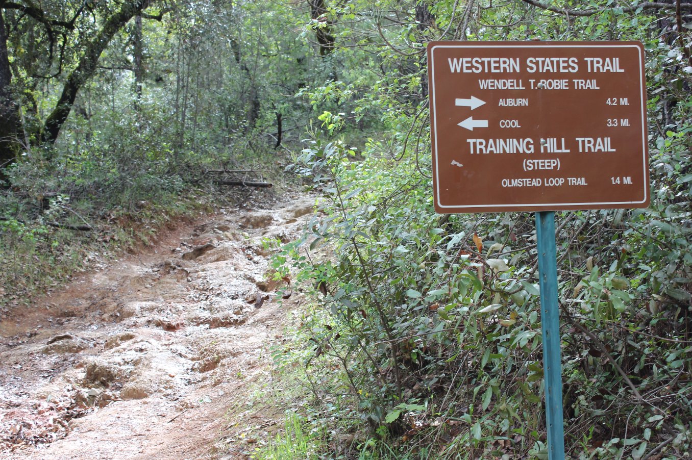
Helpful signs are scattered
throughout the park area. |
 |
|
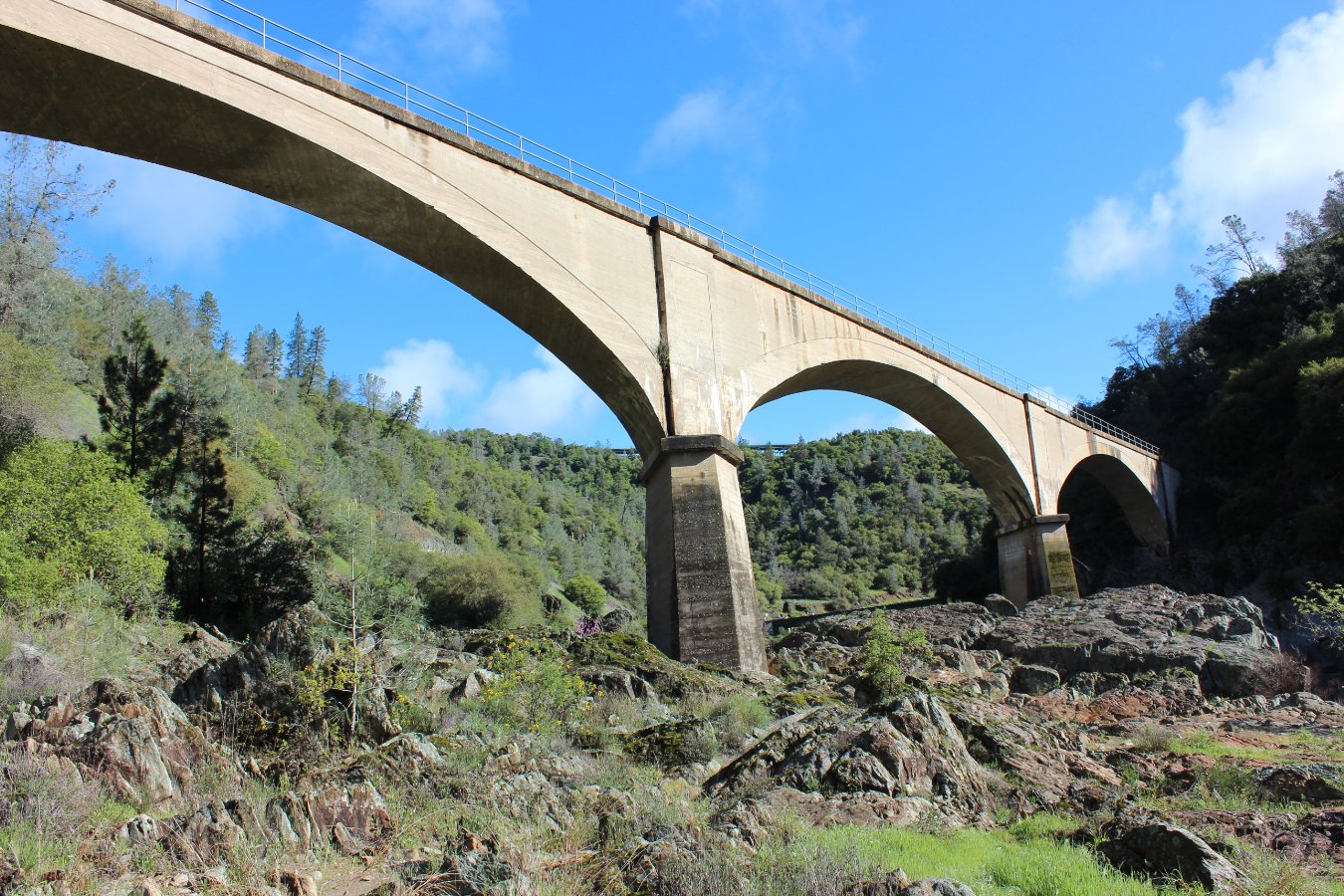
Looking up at No-Hands Bridge
from the river below. |
 |
|
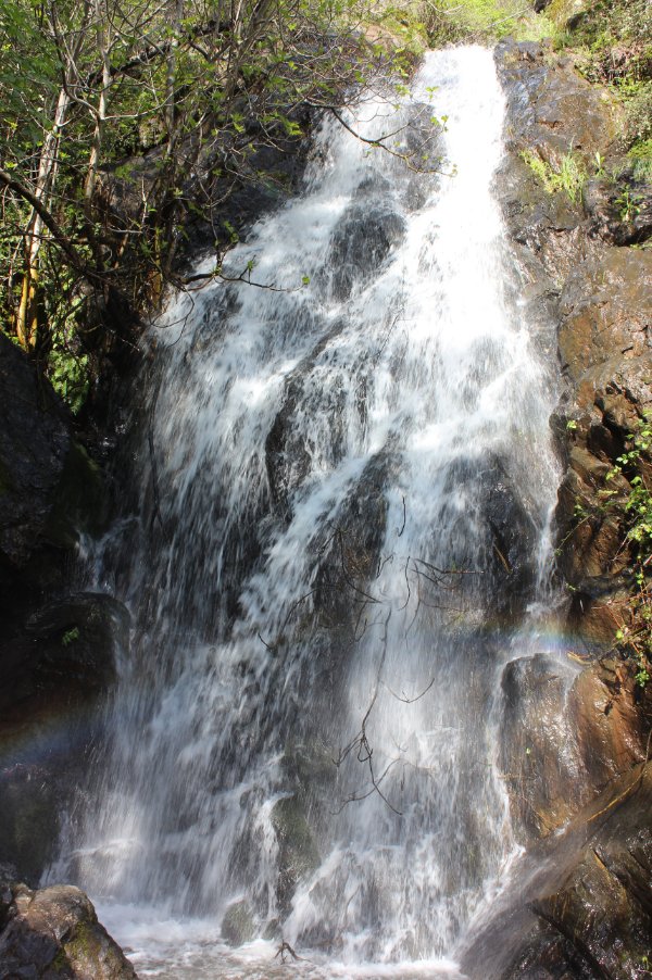
Black Hole of Calcutta falls
after recent rainstorms. |
 |
|
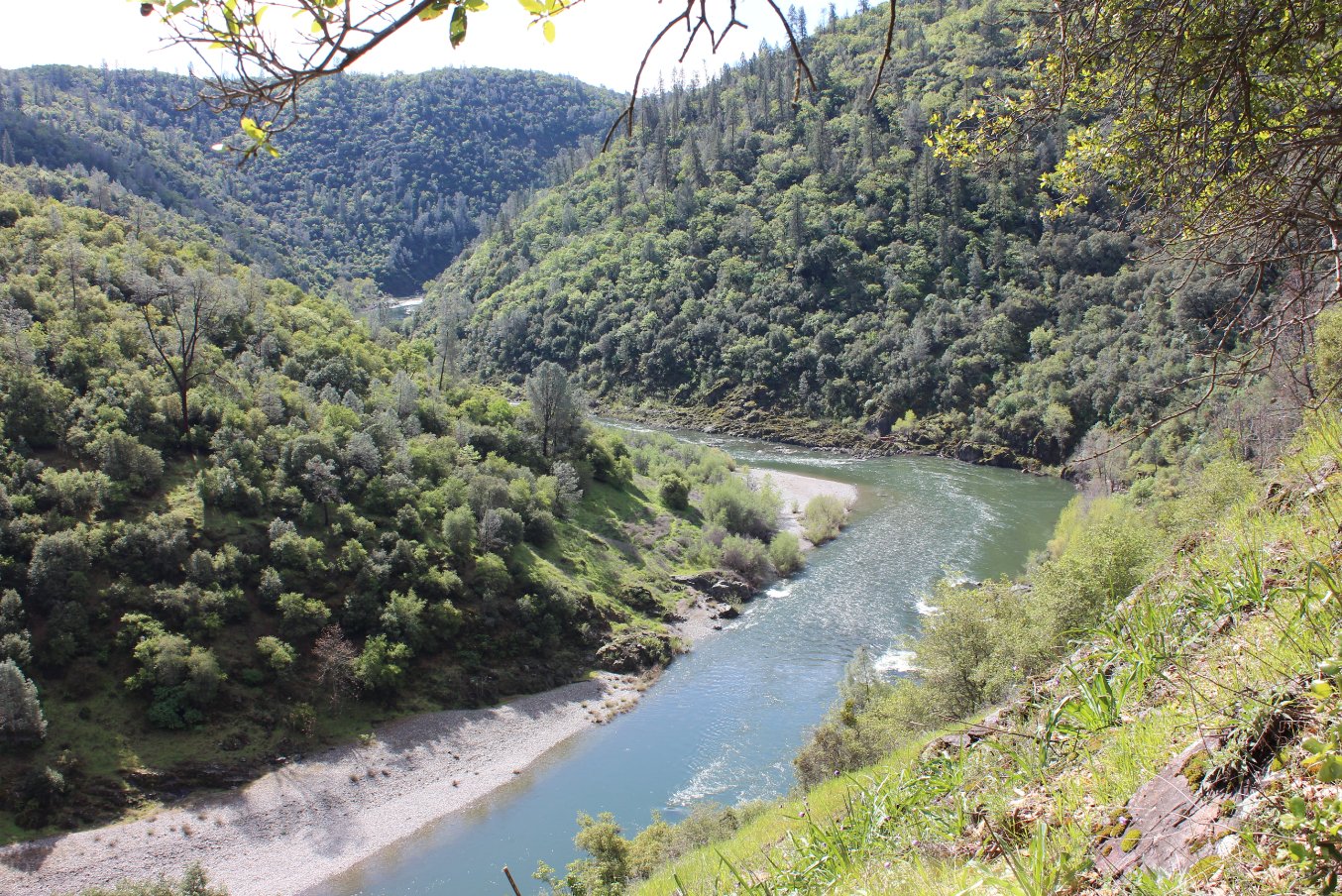
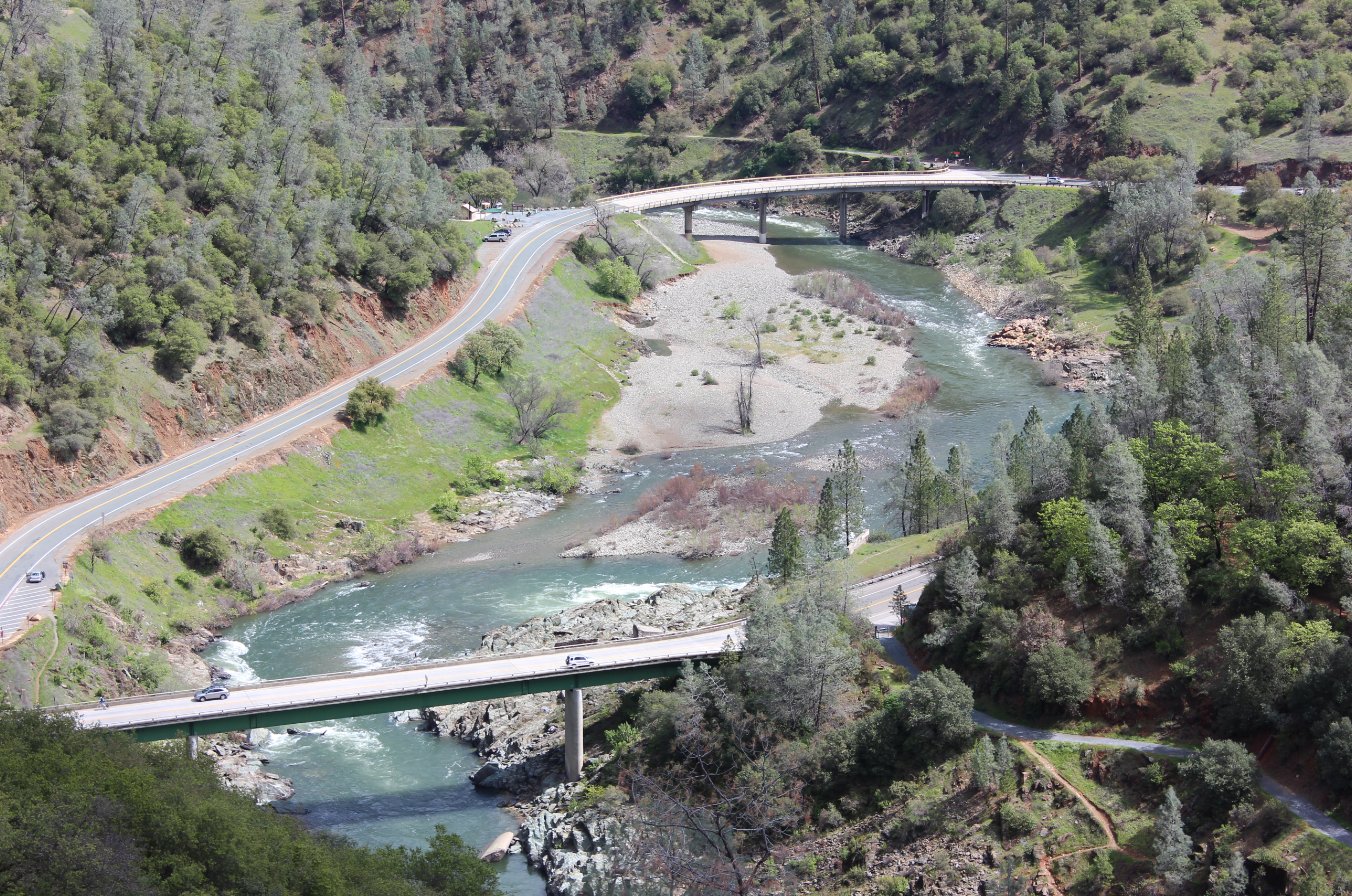
Nice overlook of the North
Fork of the American River from just above the trail. |
 |
|
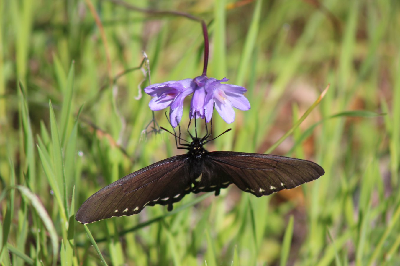
Butterflies were in full swing
on this day. |
 |
|
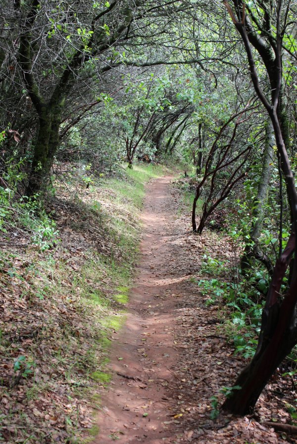
Nice tree cover along parts of
the Manzanita trail.
|
 |
|
Another view of No Hands
Bridge from Stagecoach Trail. |
 |
|
Checking out the confluence
from the Stagecoach Trail. |
 |
|
The sign is not kidding about
the "Steep" section of trail here.
|
 |
|
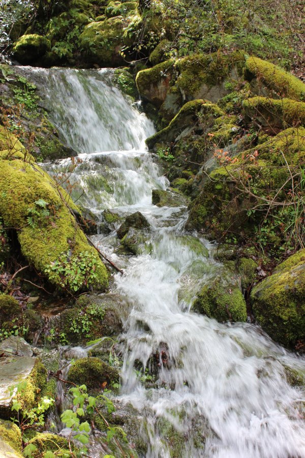
A surprise waterfall along the
Western States Trail section. |
 |
|
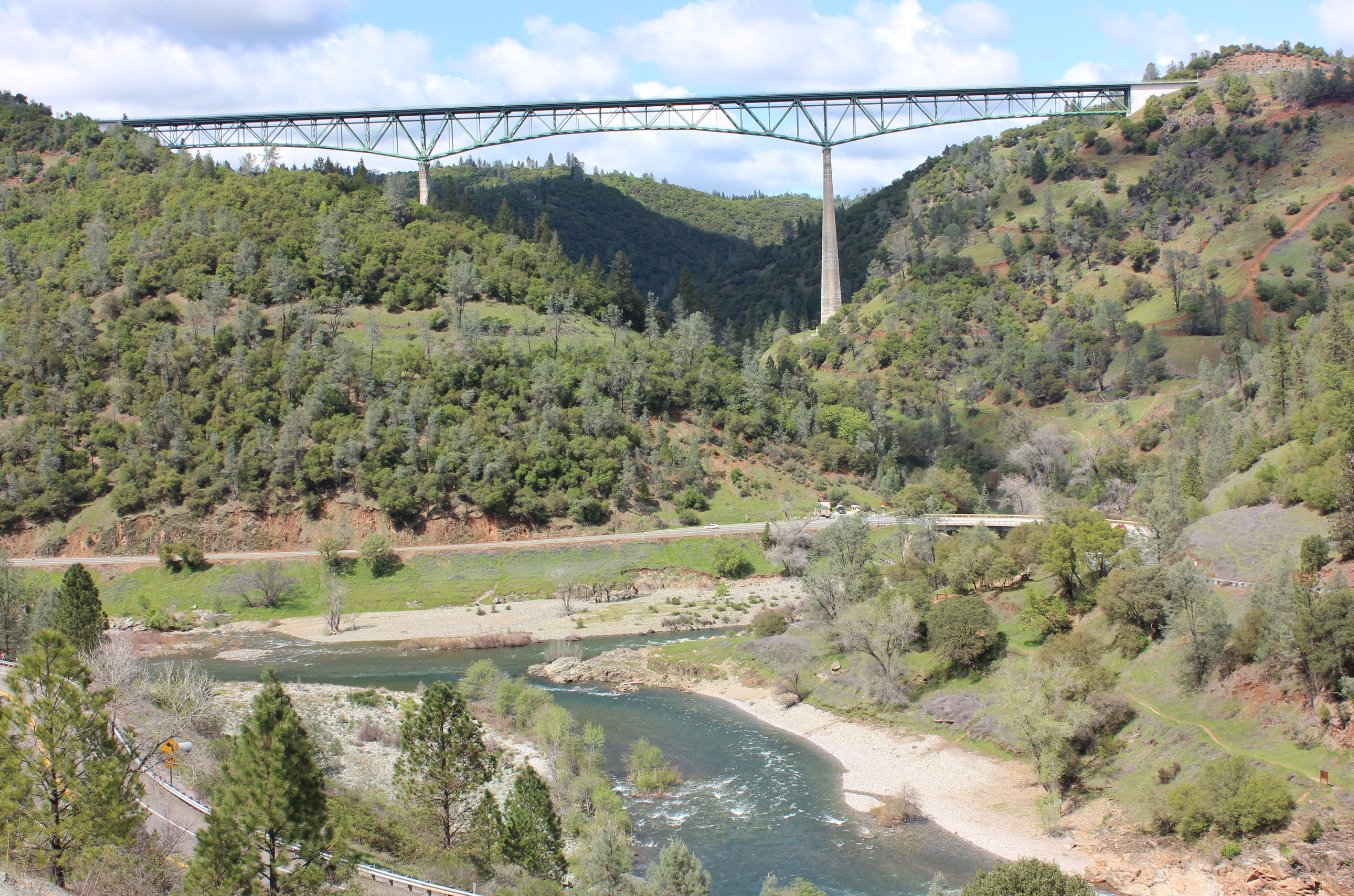
One last look at the
Foresthill bridge from the Western States Trail. |
 |
|
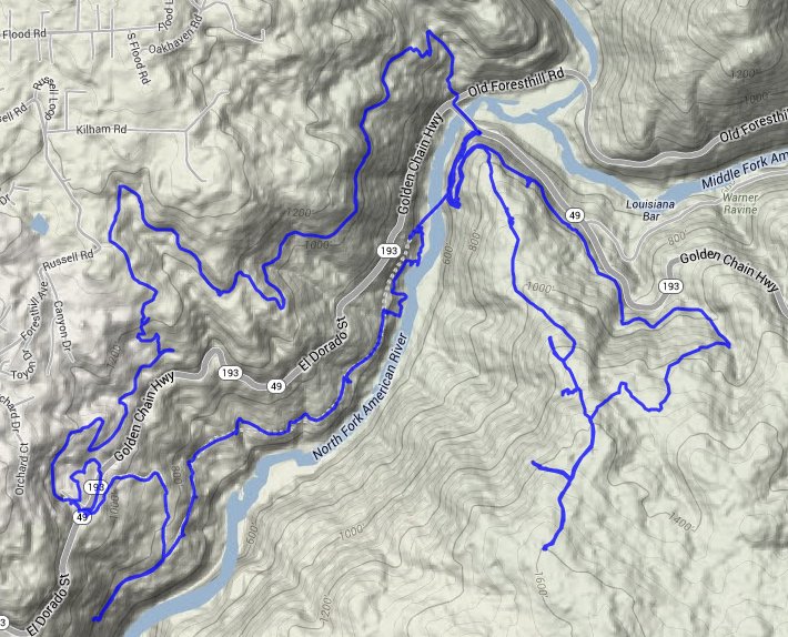
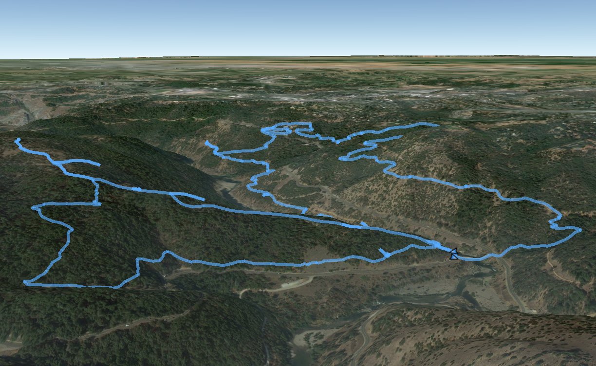
GPS Track of the full hike. |
 |