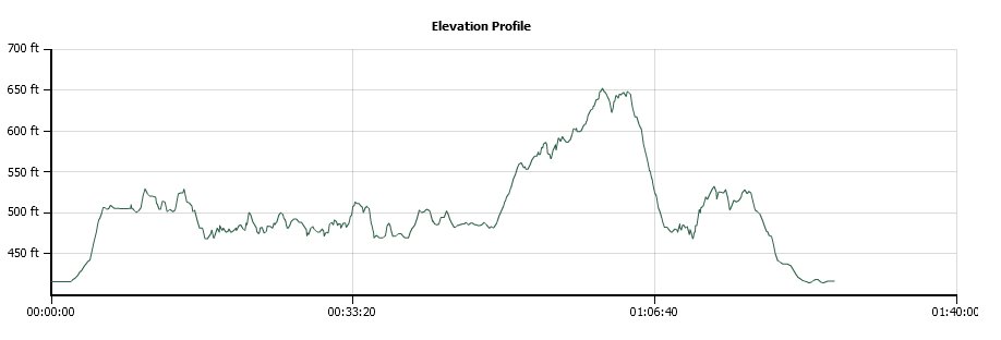
Distance: 4.1 Miles
Vertical Gain: 250'
Group Size: 1
Hike Rating: Easy Moderate Hard Strenuous
 GPX
for
this trip
GPX
for
this trip
| Start Coordinates: | N 38 42.030, W 121 06.379 | End Coordinates: | Same as Start Coordinates | ||
| Car Shuttle Req'd: | No | Parking Directions: | Take Green Valley Rd near the western end of El Dorado County. At Sophia Parkway turn north, and park anywhere along the side of Sophia Pkwy on either side of the road. | ||
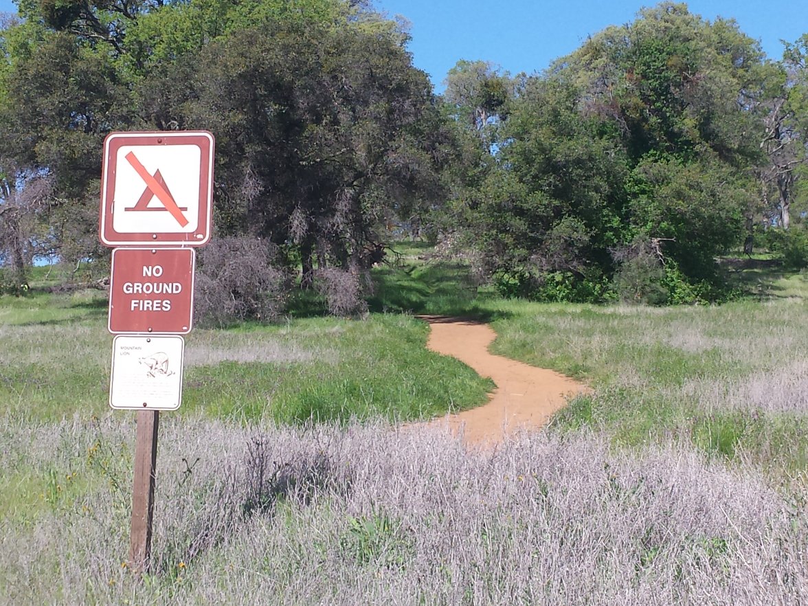
| Hazards of Note: | Rattlesnakes, ticks, poison oak, mountain lions. | Crowd Factor: | High. This is a very popular and easily accessible trail, and on weekdays, and especially weekends there will be many other hikers, bikers and dog-walkers out on the trail. | ||
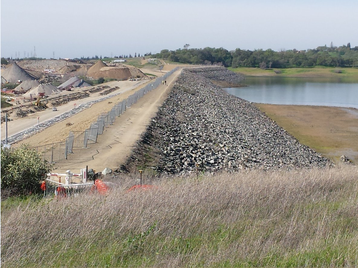
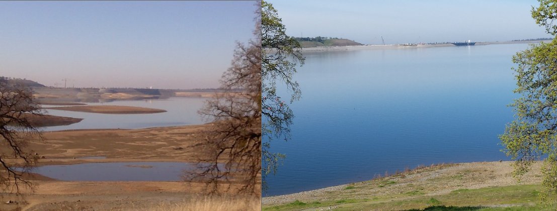
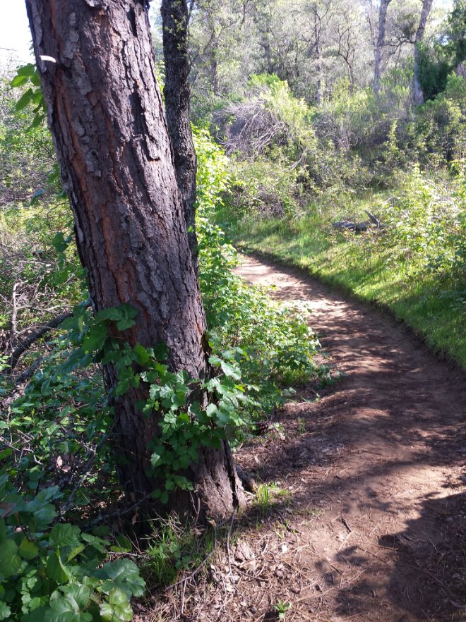
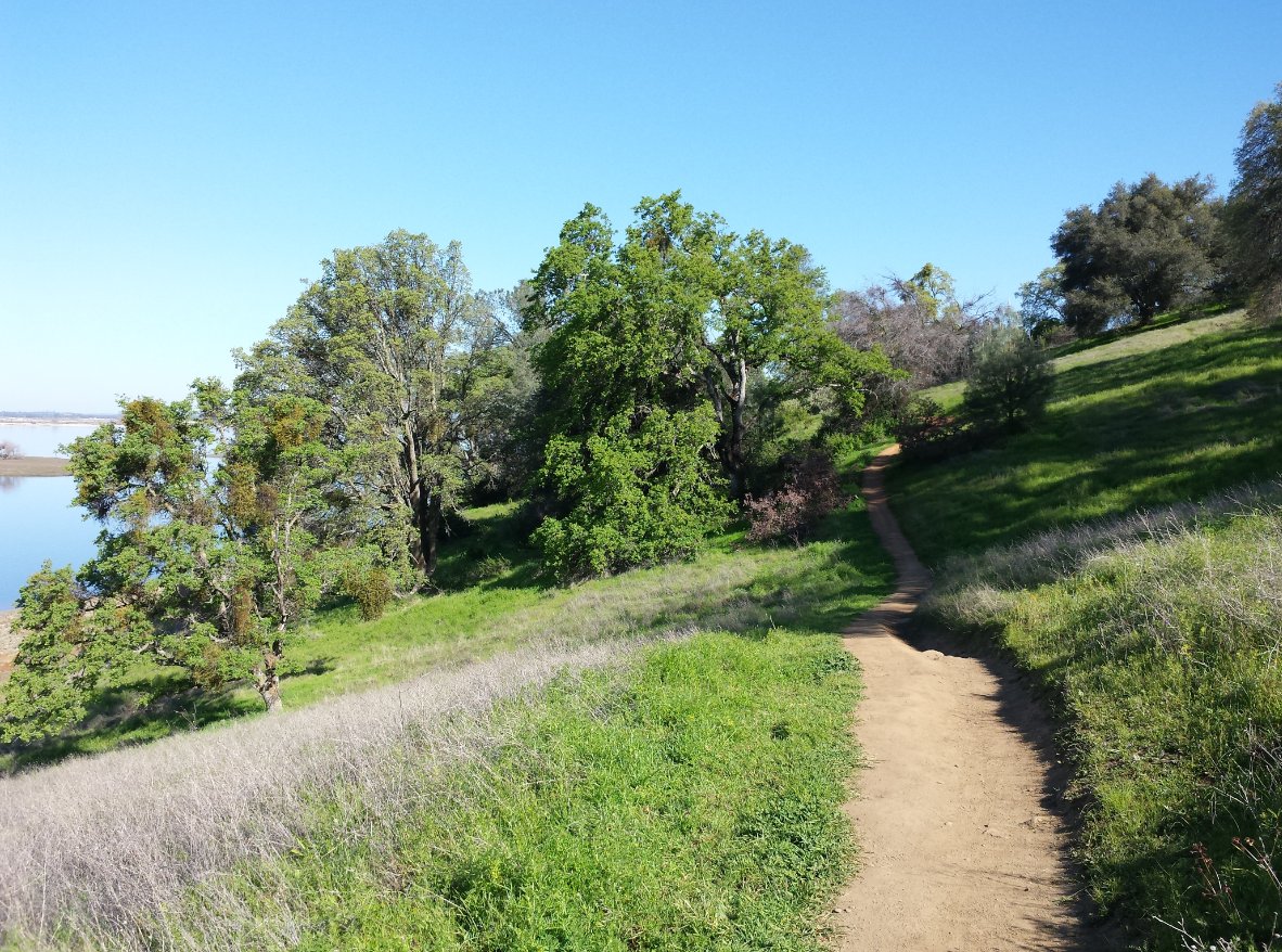
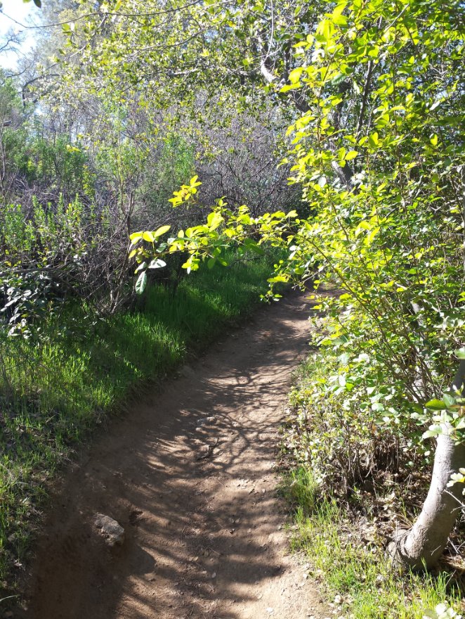
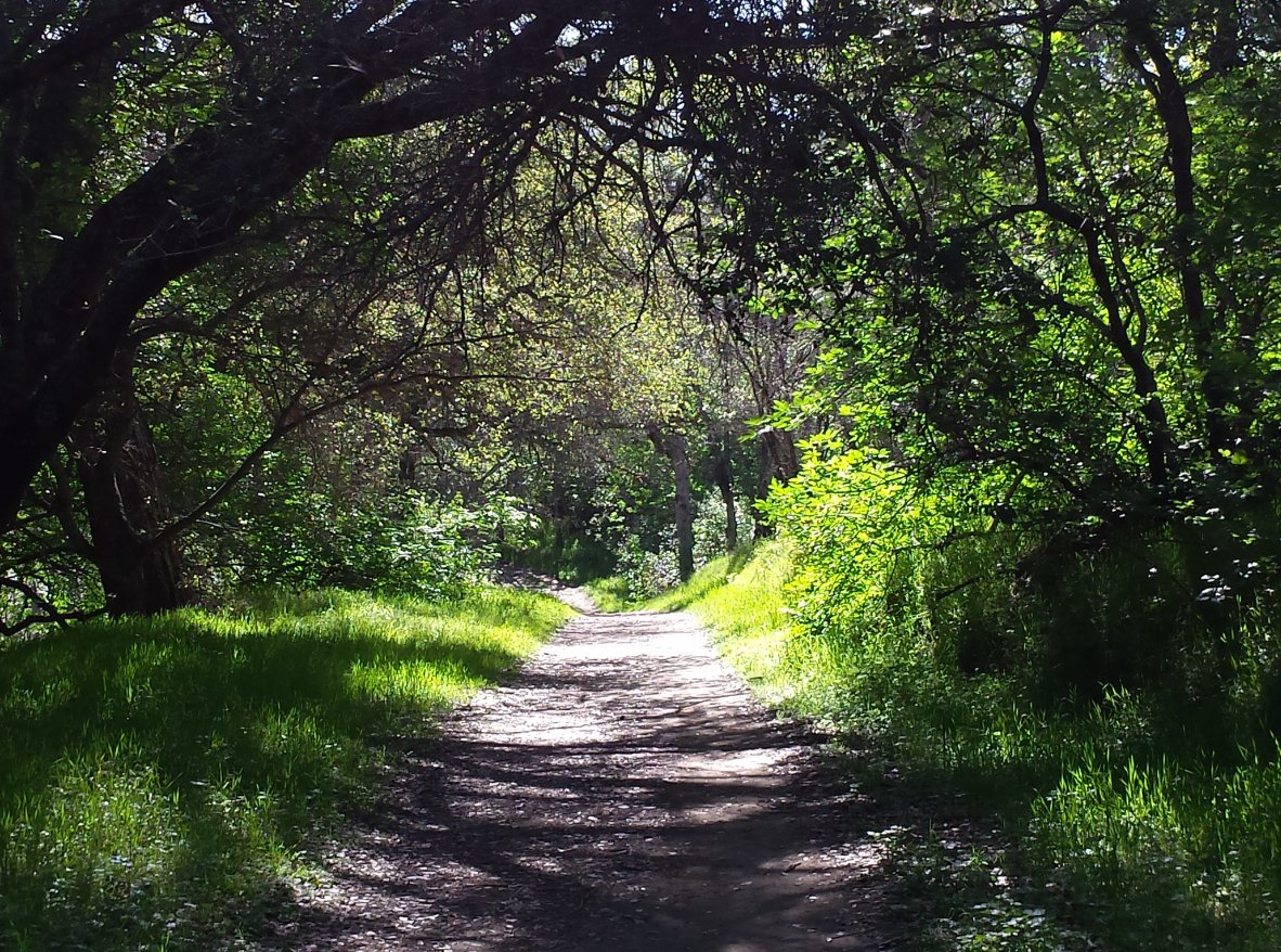
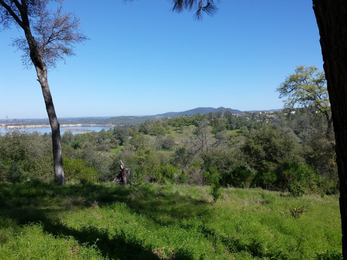
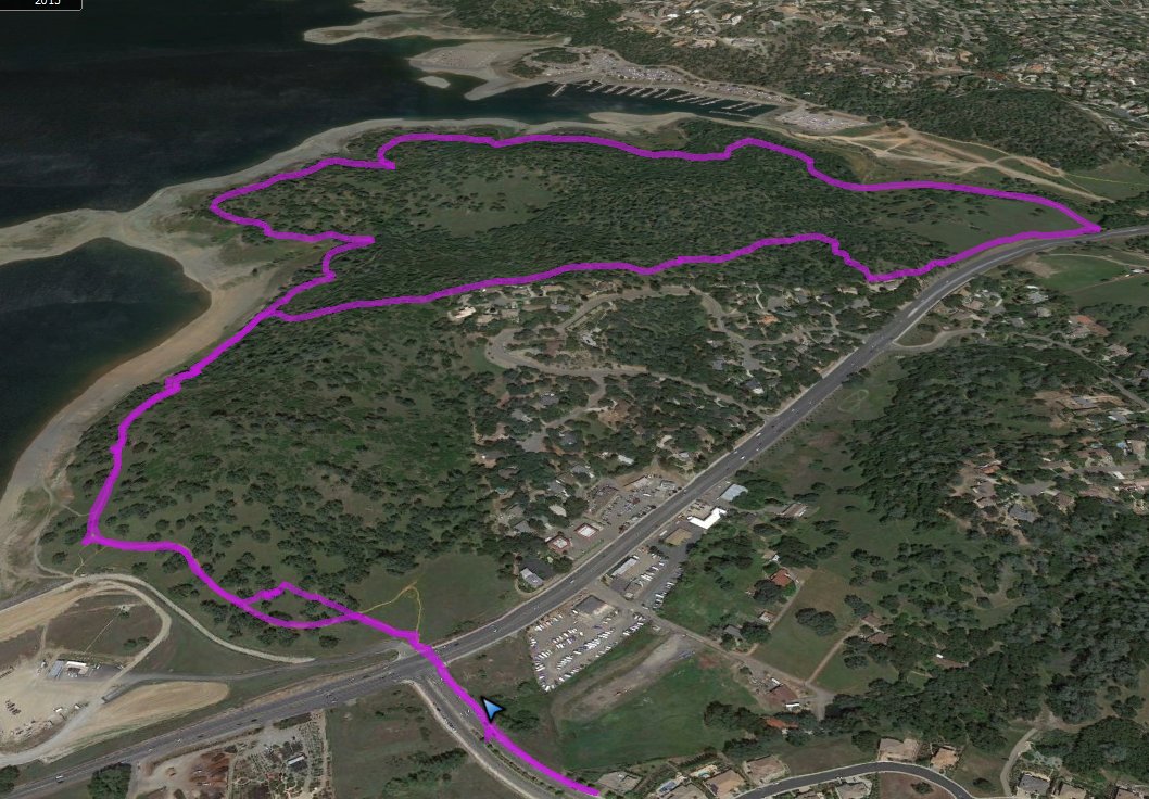
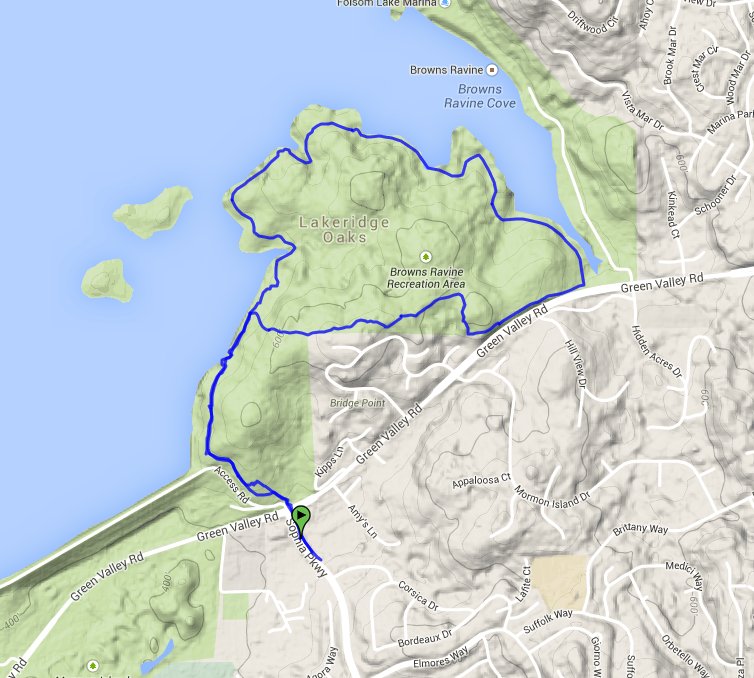
| General Notes: From your parking spot head south to the intersection of Green Valley Rd and Sophia Parkway and cross with the light. From this side of the road the trail starts, with a sign displaying information on the construction being currently done on the Folsom Lake Dam a few miles to your west. The trail immediately heads up the hill, and at the top of the rise you will continue straight around the lake. There is also a drop down here which will take you to the trail which heads across the dyke, which connects to Folsom Point. This is another popular trail, but is not on today's agenda. Continue on this trail as it winds around the Lakehills housing subdivision, which is out of sight from the trail but less than a 1/4 mile away in most spots. When you are about 3/4 around to Brown's Ravine, you will see the marina across the water. Keep going on this trail, and when you are almost to Green Valley Rd the trail will take a hard left toward the Brown's Ravine entrance. Instead of going this way, turn right, and follow a use trail along the fire break near the fence, up the rise in this area for about a third of a mile. There were a couple of downed trees that had to be negotiated, but the trail is obvious. When you reach the first house on your left, look for a trail that heads up to the right, which allows you to avoid hiking right next to neighborhood houses for the duration of the hike. After this junction, whenever there are trail intersections, keep heading to the left and you will eventually connect up with the main trail that you started on. Follow this for about 3/4 of a mile north back to the trailhead. |
|||||