Distance: 6.3 Miles
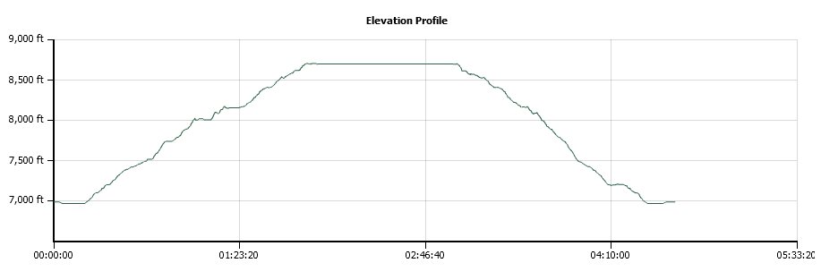
Vertical Gain: 1700'
Group Size: 3
Hike Rating: Easy Moderate Hard Strenuous
 See
video of hike
 GPX
for
this trip
| Start Coordinates: | N 38 50.975, W 120 13.542
or overflow/winter parking at N 38 50.542, W 120 14.120 |
End Coordinates: | Same as Start Coordinates | ||
| Car Shuttle Req'd: | No | Parking Directions: | Take Highway 50 to Wrights Lake Road, and head approximately 8 miles north until you get to the entrance to the Wrights Lake recreation area (if this gate is closed you have to park just to the right before this spot and add a mile to the hike from this location each way.) Turn right at the junction and drive along the south end of the lake for a mile until you reach the Desolation Wilderness Trailhead parking area at the coordinates provided. | ||
| Hazards of Note: | The trail is rocky along the first part, and there might be some early season trail finding along the granite before the main rise in the trail toward the lake. The main section of trail climbs significantly for most of the hike. | Crowd Factor: | Moderate. There are many people who access this trail into Desolation, and getting to the parking area early (before 8) is your best chance on a weekend of getting a spot here. The trail to Smith Lake will thin out most of the crowds where to leave the shared trail toward Twin Lakes about a mile in. | ||
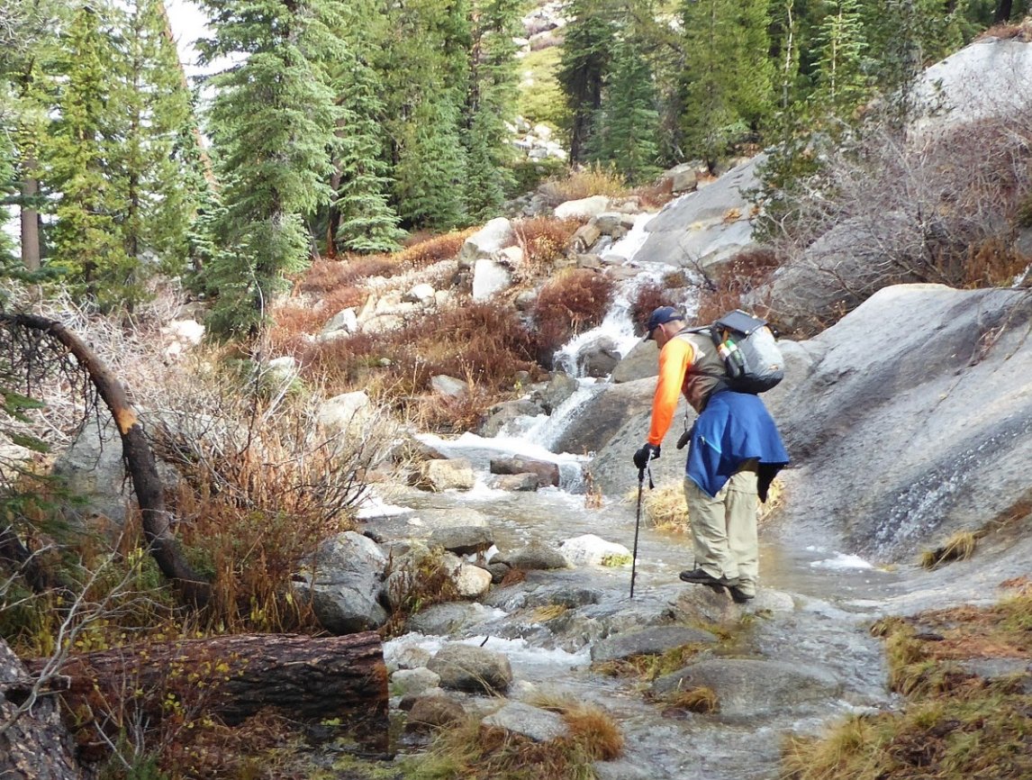
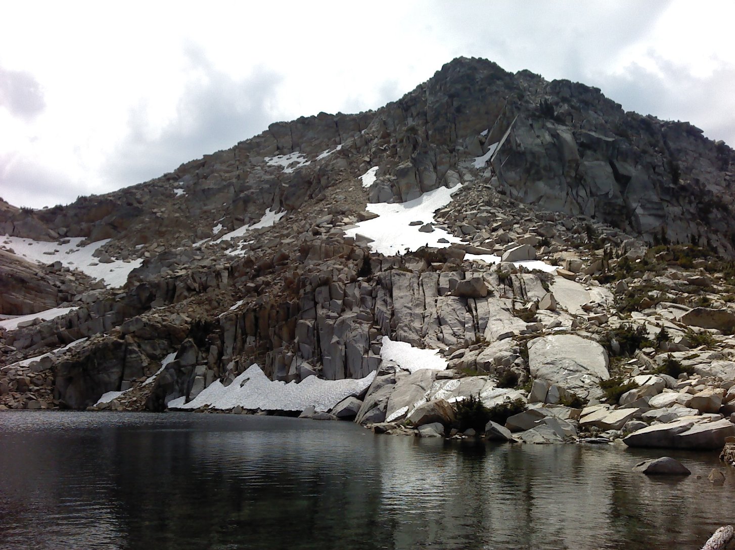
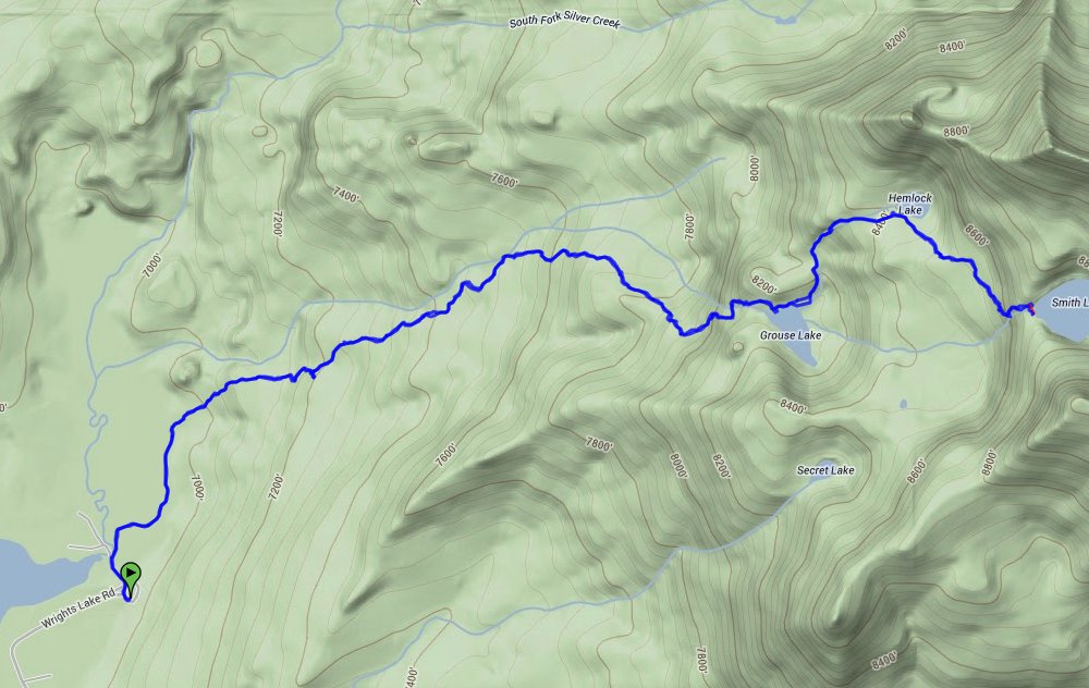
| General Notes: The first part of the trail heads down toward the east end of Wrights Lake, and then at the Trailhead map make sure to turn right toward Twin Lakes so that you don't just circle around the lake. Follow the trail for about a mile into the Desolation Wilderness, and then just past the wilderness sign will be a junction. At this point to get to Smith Lake you will turn right (Twin Lakes is the other destination along the main trail if you don't turn at the junction.) Follow this up as it rises continually and fairly steeply. There is a water crossing which in the early spring or after a recent rainstorm will be fairly complicated, and then you will soon first reach Grouse Lake on the right. Continue up the trail about 3/10 of a mile and the scenic Hemlock lake will be on your left. Another 3/10 of a mile past this is Smith Lake at the top of the trail, which is reached after negotiating an easy-to-lose trail up the granite rocks. If you reach the outlet watefall from the lake, do not cross it but simply follow it up to the lake keeping the water on your right. Since this is a hike into Desolation Wilderness, you will need a day permit (free at the trailhead) and the group size limit is 12. |
|||||
