Distance: 12 Miles
Vertical Gain: 2300'
Group Size: 6
Hike Rating: Easy Moderate Hard Strenuous
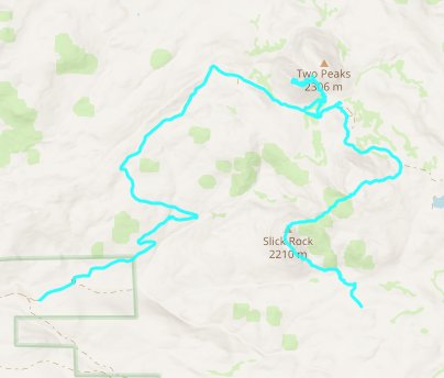
 GPX
for
this trip
| Start Coordinates: | N 38 52.430 W 120 16.609 | End Coordinates: | N 38 52.477 120 19.616 | ||
| Car Shuttle Req'd: | Yes | Parking Directions: | Take Highway 50 to Ice House Road. Drive north for about 14 miles, turning right at the signed Picket (sic) Pen Road intersection. Drive down this 4WD road for about 5 miles if you want to leave one vehicle at this junction on the left at a closed gate for making this a point to point hike. Continue another three miles to the end of the road to start this hike. | ||
| Hazards of Note: | Lots of cross country, route finding and a long trek on a forest service road after the second peak. | Crowd Factor: | Minimal. You are unlikely to run into other people except possibly on the road that heads to the Veerkamp property from Pickett Pen Rd. | ||
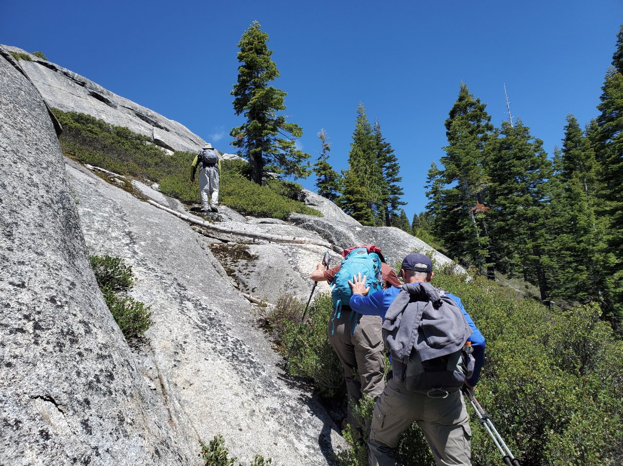
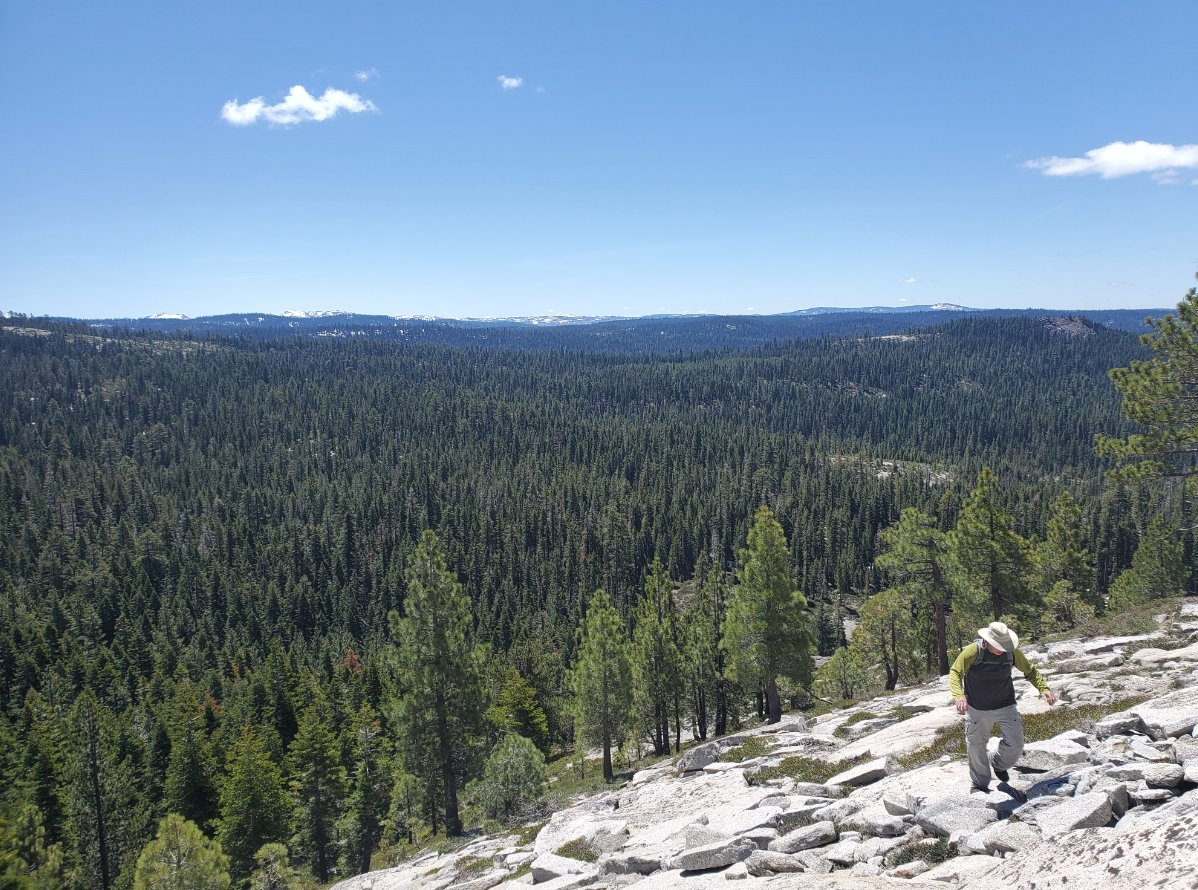
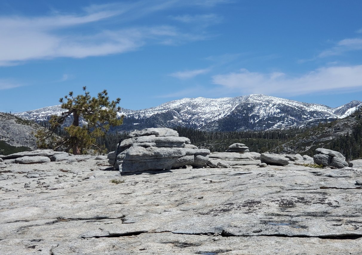
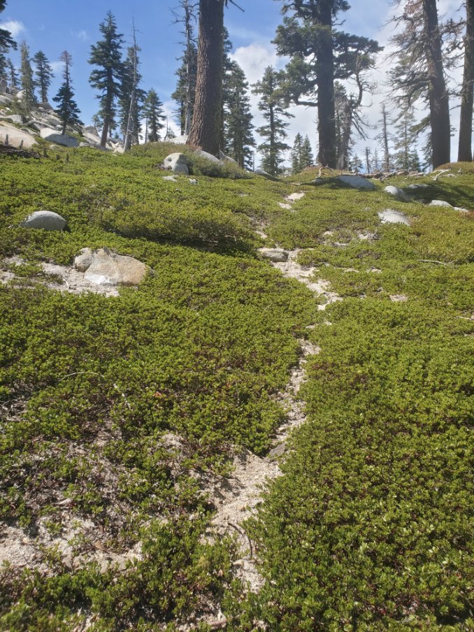
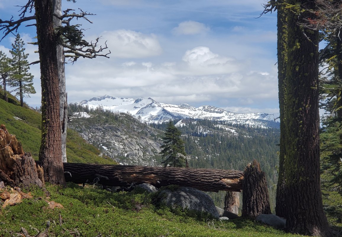
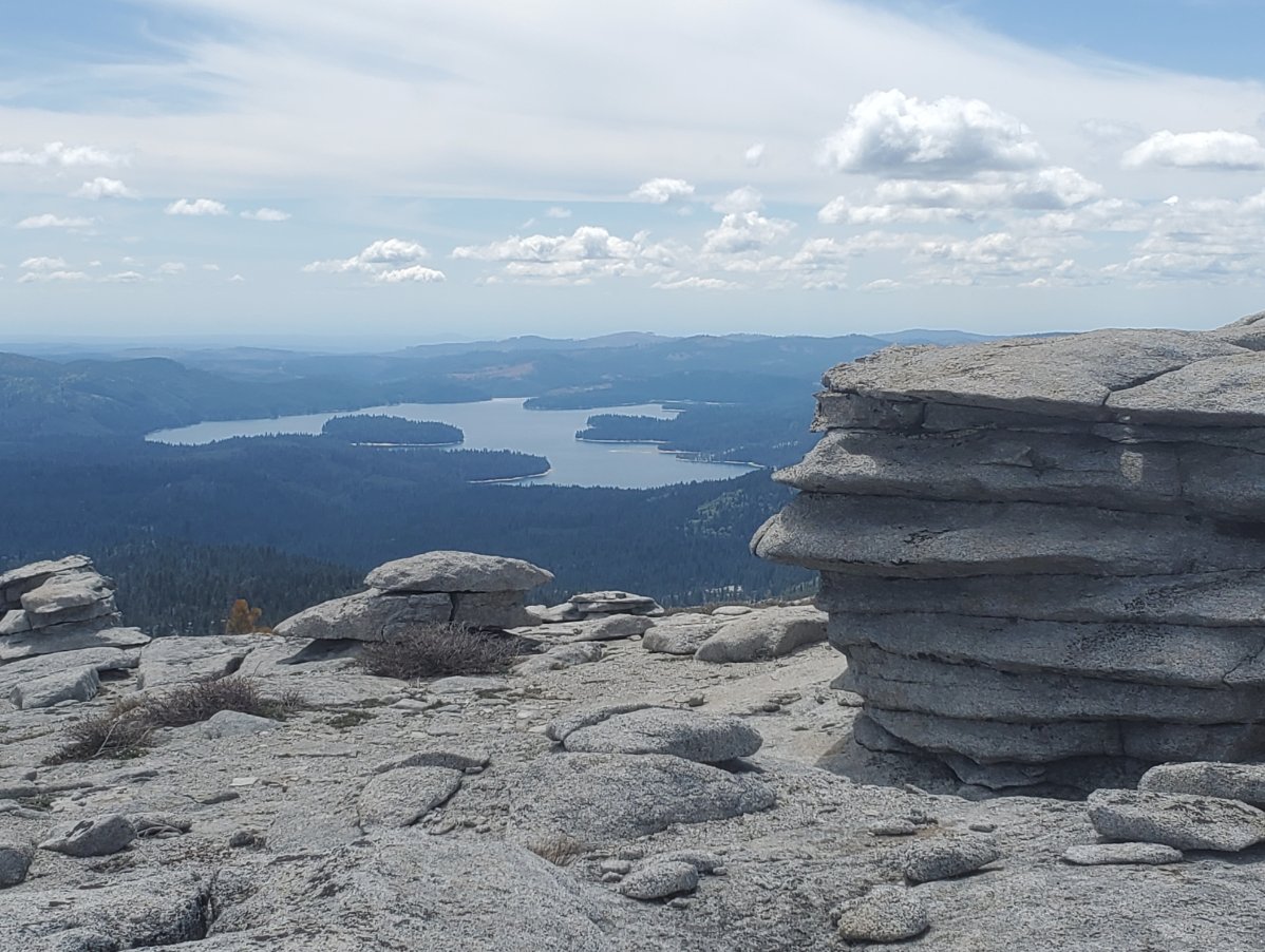
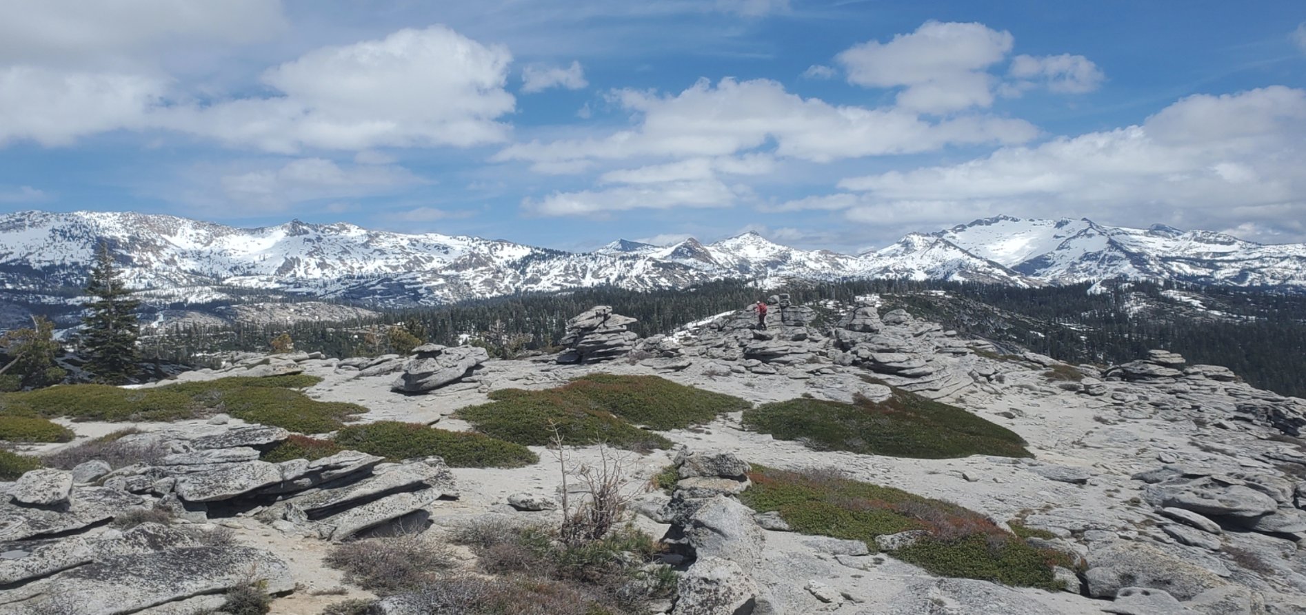
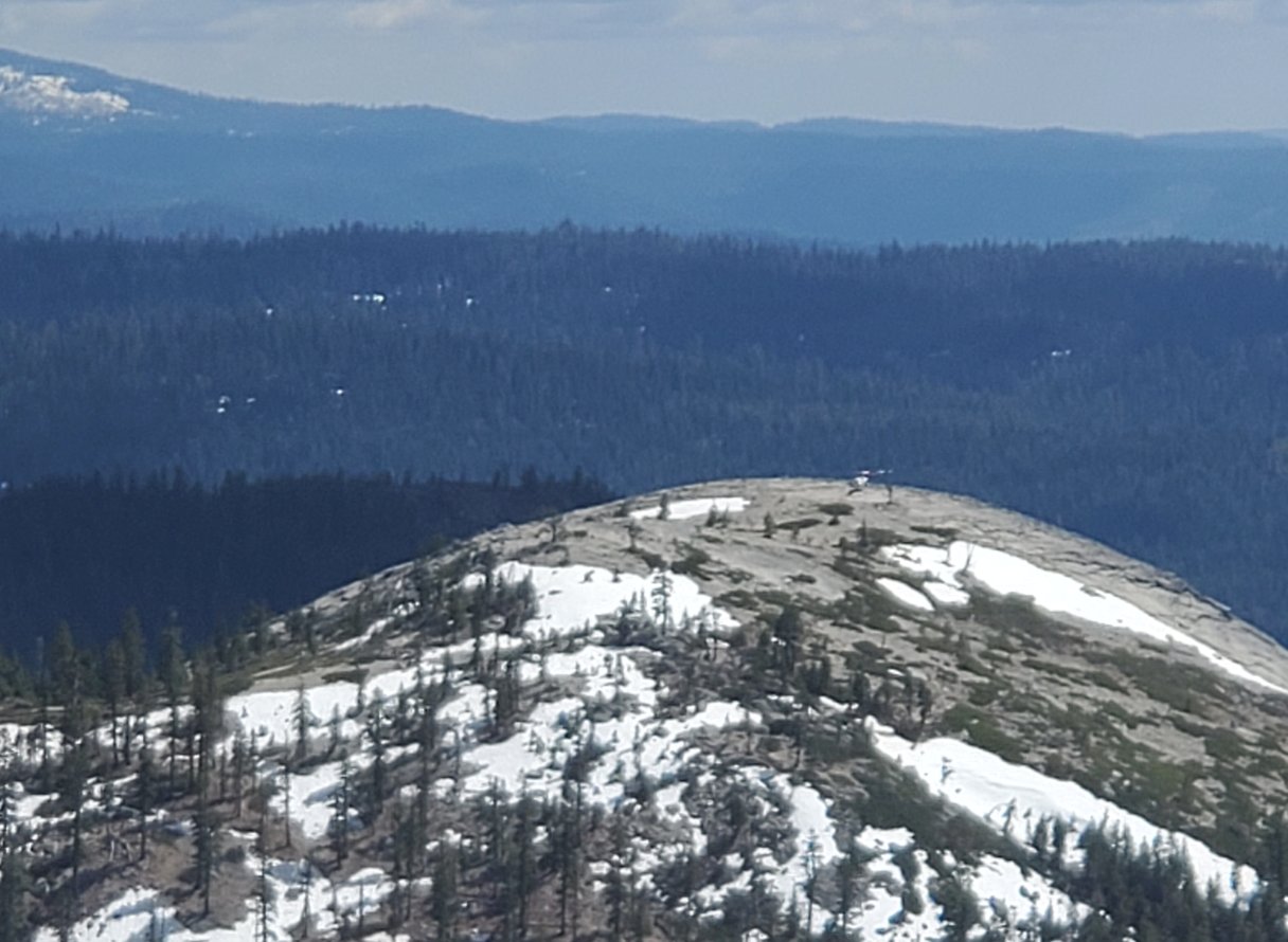
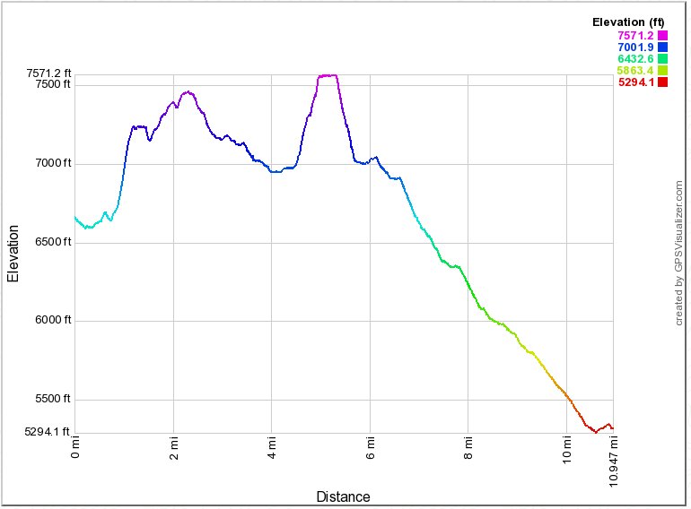
| General Notes: Once at the parking area, head north along a small use trail until you reach a water crossing. Pass through this crossing and then from here you will need to pick the best route toward the top of Slick Rock, staying to the east of the actual peak so that the granite you will be heading up does not become too steep to safely make you way to the top. Once on the top of Slick Rock you will see that there is a false summit to the southwest, and the actual high point of the peak is to the east. After reaching the peak, look for a narrow use trail to the east which will head up the ridgeline and eventually bend to the north so that you stay as high as possible on the transition between Slick Rock and Two Peaks. If you lose the trail on the way, just continue to the east and eventually you will intersect with a road that is maintained by the Veerkamp family for them to access their property near Pearl Lake. Follow this road to the north until it reaches a signed junction where it points toward the Veerkamp property the way you came and the Nielsen family the other direction. (If you were to turn left at this junction you will be on the road that is used to make your way to the end of the hike.) Not far up the road toward the Nielsens you will pass a small cabin, and the road will end at thie point. Angle toward the northwest from here, heading for the saddle between the West and East pinnacles of Two Peaks. There will be another creek crossing at this point, and you can either find a way across or head a little further to the west to pick up your finishing road again and cross over the creek. Heading up the saddle between the two peaks, you will hopefully find a very narrow use trail signed by a small rock cairn that will successfully guide you through what is otherwise a pretty solid wall of manzanita. When you reach the top of the saddle, find the best route up from here toward the top of West Two Peaks and make you way to the high point, which offers amazing views of the entire Crystal Range. |
|||||
