Distance: 7.6 Miles
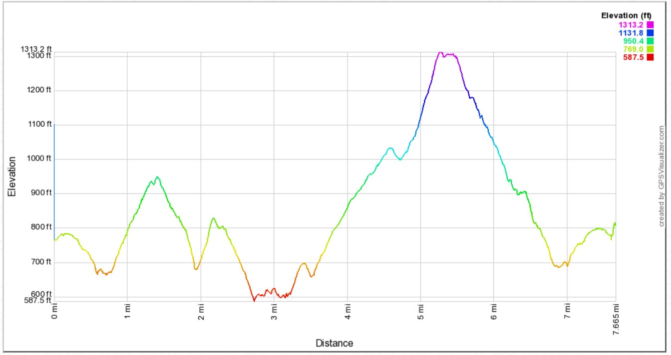
Vertical Gain: 1100'
Group Size: 2
Hike Rating: Easy Moderate Hard Strenuous
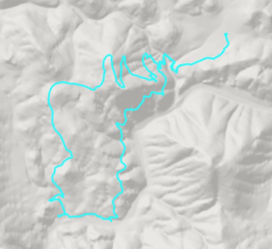
 GPX
for
this trip
| Start Coordinates: | N 38 49.578, W 120 57.329 | End Coordinates: | Same as Start Coordinates | ||
| Car Shuttle Req'd: | No | Parking Directions: | Take Highway 49 West of the town of Coloma until you reach the Magnolia parking lot area on the south side of the highway. | ||
| Hazards of Note: | Rattlesnakes, ticks, poison oak, mountain lions. | Crowd Factor: | Moderate to High. There are many trails in this area popular with dog-walkers, bicyclists, equestrians, joggers and other hikers. Especially in the non-summer months you will expect to meet up with a number of other people out on the many trails in the area. | ||
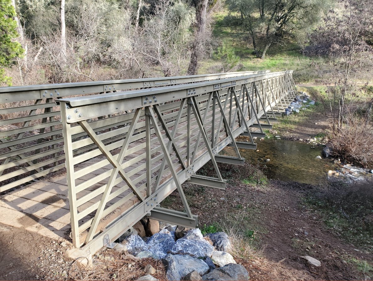
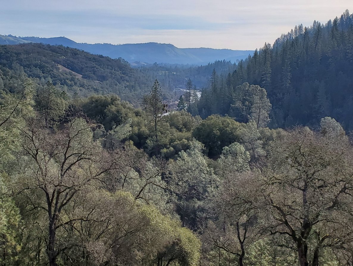
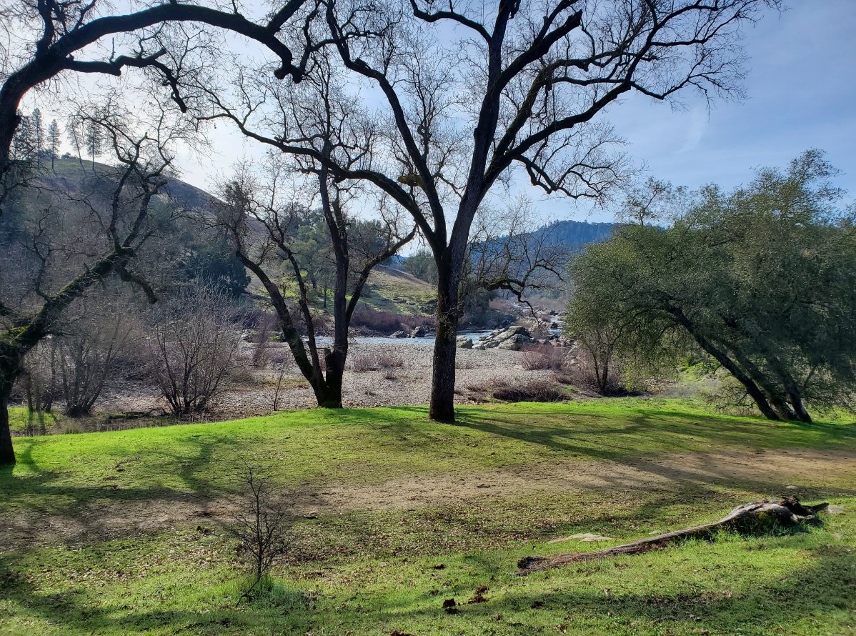
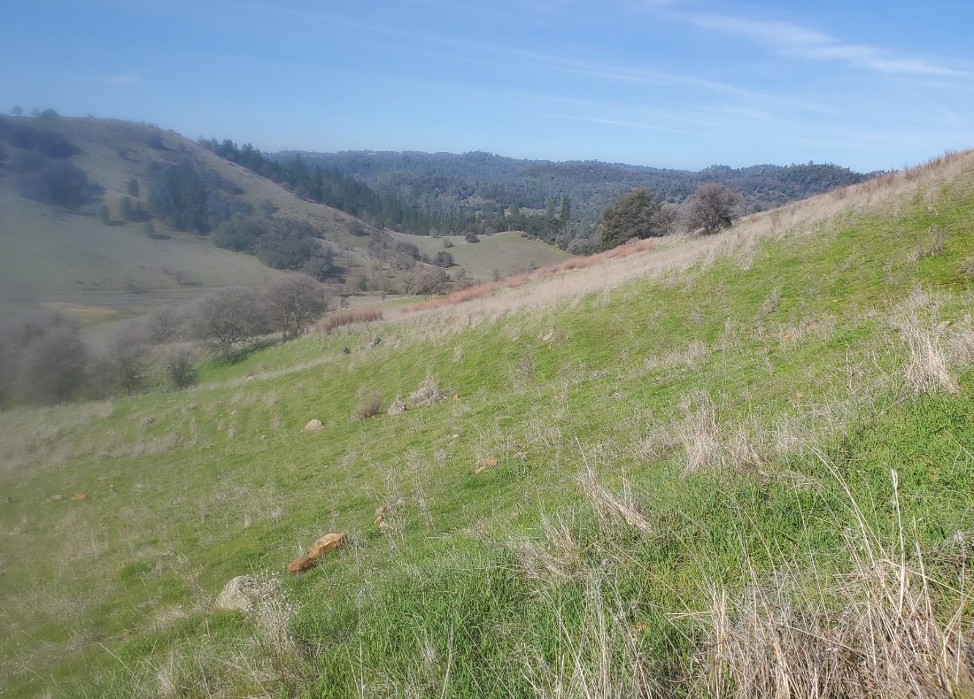
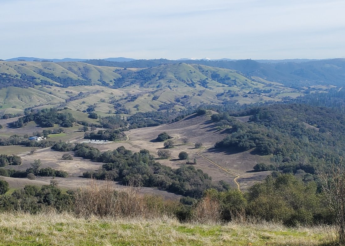
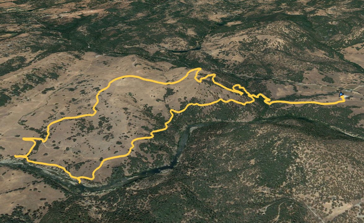
| General Notes: From the parking lot head south to pick up the Gerle Loop trail. Within the first half mile you will reach the new bridge (as of 2020) across Hastings Creek, which opens up the trail from Magnolia trailhead. Previously when the water is high, this was often a tenuous crossing to continue on this trail. About a mile into the hike you will come to a junction where you will want to head to the left. To the right you will pick up the new Sky Ridge Trail, which you will take on the way back and avoid long switchbacks going up with a significant amount of elevation gain. Continue on this trail heading south, and slowing making your way down toward the South Fork of the American River. About 3 miles in you will have a few spots for river access, including some well-built restroom buildings primarily added to the area for the multitude of river rafters which come through the area in spring and summer. From this location, head back north, and follow the trails generally up to the northeast and the visible trail cut into the side of the tallest hill in that direction. As you crest the hill, the trail heads along the ridgeline on the new Sky Ridge trail heading south for a bit, before turning sharply north. The trail then switchbacks down the hill, picking up the original trail at the junction described earlier along the trail. Head back across the new Hastings Creek trail and back to the Magnolia parking area. |
|||||
