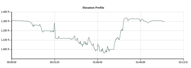
Distance: 3 Miles
Vertical Gain: 600'
Group Size: 30
Hike Rating: Easy Moderate Hard Strenuous
 GPX for
this trip
| Start Coordinates: | N 44 52.676, W 122 39.371 | End Coordinates: | Same as starting coordinates | ||
| Car Shuttle Req'd: | No | Parking Directions: | Take Interstate 5 from Salem to Highway 22 east. After a little over 8 miles turn left on Highway 214, also known as Silver Falls Highway SE. Follow this highway for just about 16 miles and turn left into the Silver Falls State Park entrance and park at the coordinates provided. | ||
| Hazards of Note: | There are some steep dropoffs near a few of the waterfall pools. Stay away from the edges. | Crowd Factor: | High near the main falls. Less people on the trails as you venture further away from the main lodge and parking area. | ||
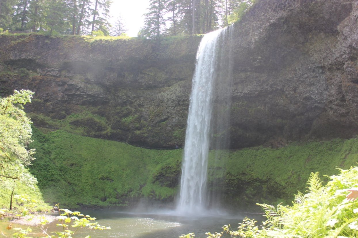
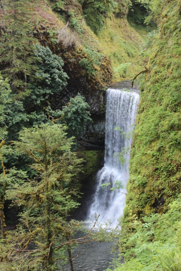
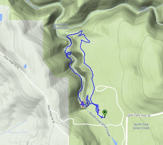
| General Notes: There are about 10 falls in all that can be visited in the Silver Falls State Park, and the loop as indicated for this trip will take you past two of the larger ones. The first falls that you will come upon is South Falls, one of the most spectacular in the park. It is a couple hundred feet high and drops down in to a large bowl that has been created over thousands of years of erosion. There are trails down to the base of the falls, as well as behind the falls for a unique view of the feature. The trail continues on down the canyon, using a long series of stairs to help with the elevation change. You will pass Upper North Falls as well, before bending around and heading back to complete the 3 mile loop in this area. There is a separate trailhead to North Falls, well worth the drive and time to visit on the other side of the park. A trail from the parking area here drops down and provides you with a visit to this tall, thin waterfall which is the highest in the park. |
|||||
