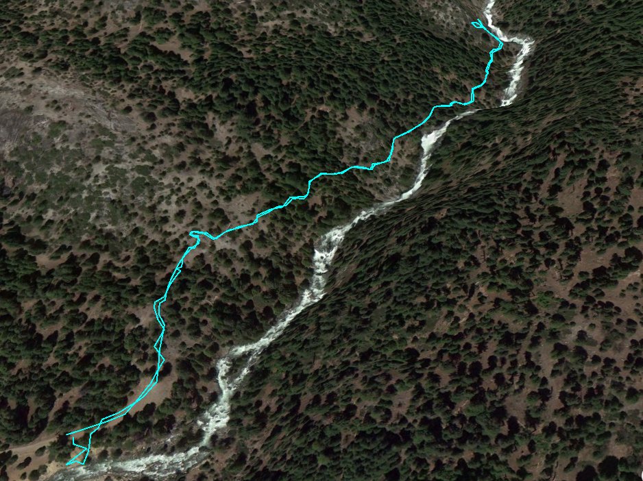
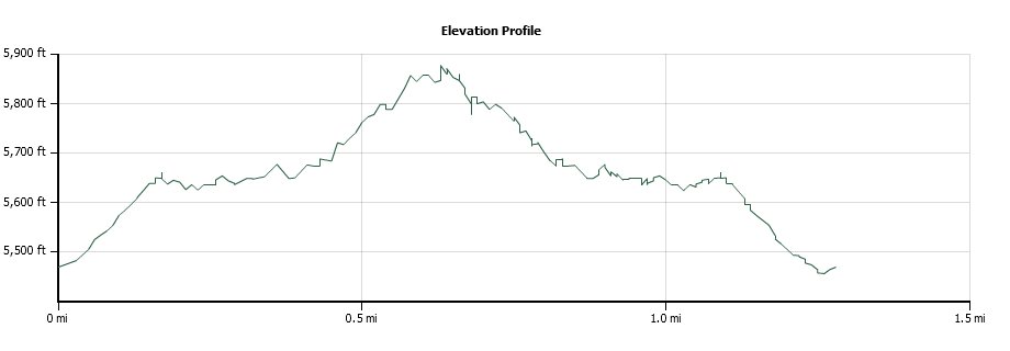
Distance: 1.5 Miles
Vertical Gain: 500'
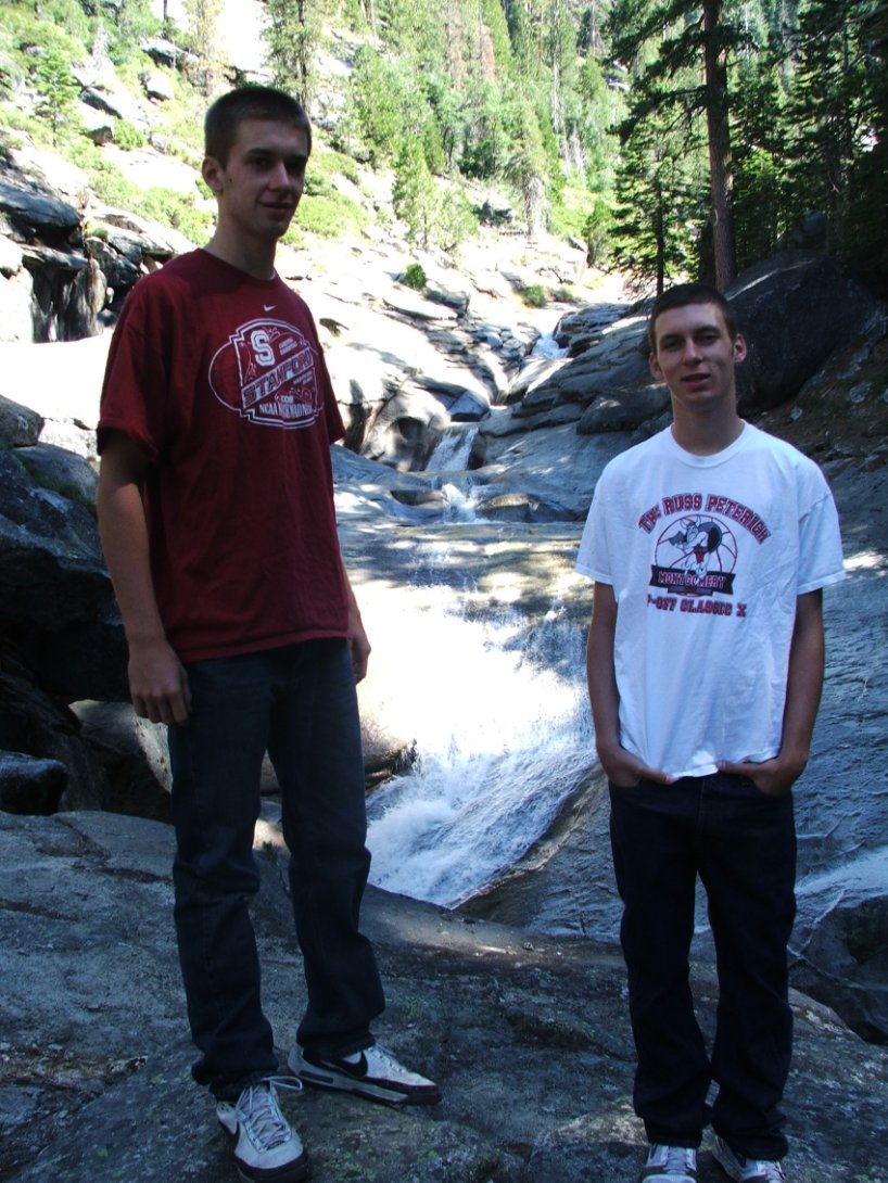
Group Size: 3
Hike Rating: Easy Moderate Hard Strenuous

 GPX for
this trip
GPX for
this trip
| Start Coordinates: | N 38 49.202 W 120 18.881 | End Coordinates: | Same as Starting Coordinates | ||
| Car Shuttle Req'd: | No | Parking Directions: | Take
the Ice House Road from Highway 50 and follow it for a few miles until
you reach the turn for Ice House Reservoir/Wrights Lake Road.
Turn right, and follow it around the north side of the lake
until you reach the parking at the end of the road. |
||
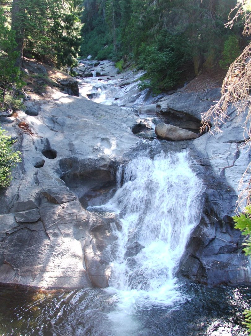
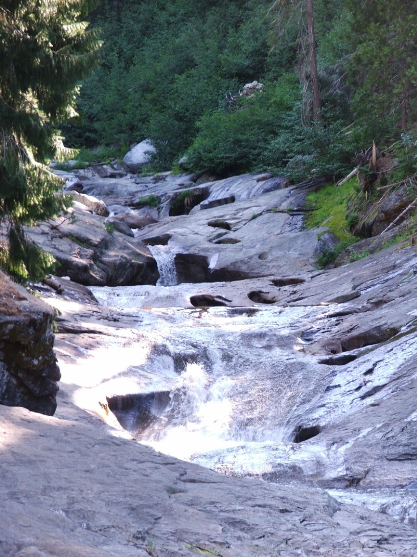
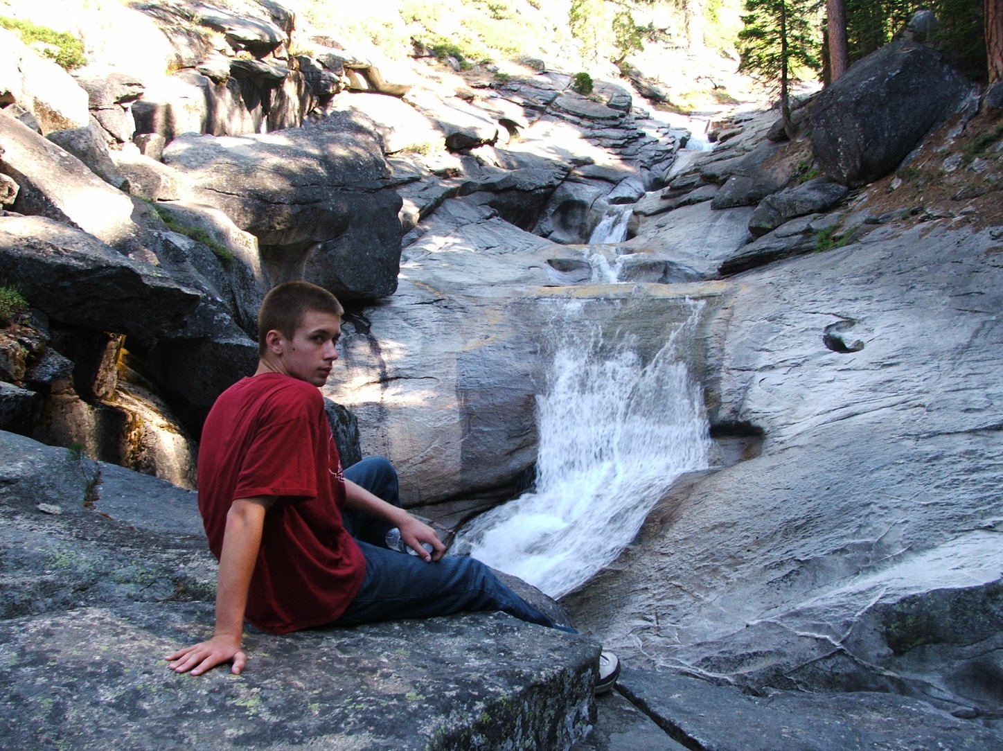
| Hazards of Note: | Steep dropoffs at a few of the
falls along the way. |
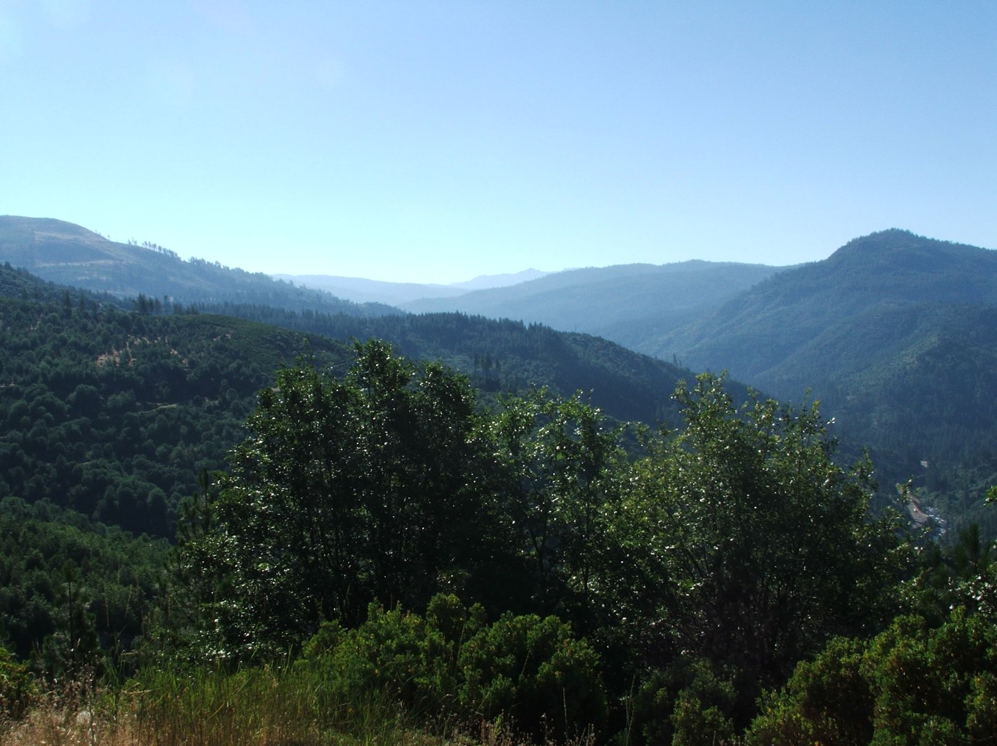
Crowd Factor: | Moderate. Ice House reservoir is very busy during the summer, but past the lake is far less travelled. | ||
| General Notes: At the end of Ice House Reservoir, you can take either a high trail or a low trail along the river which parallel each other and end up at the same place after less than a mile. Some weekends during the summer there are actually kayakers braving these rapids and falls, but I have not seem them there in person. |
|||||
