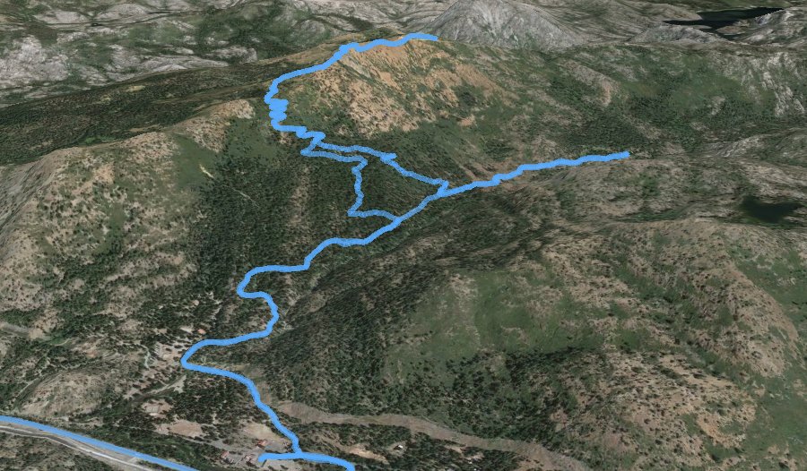
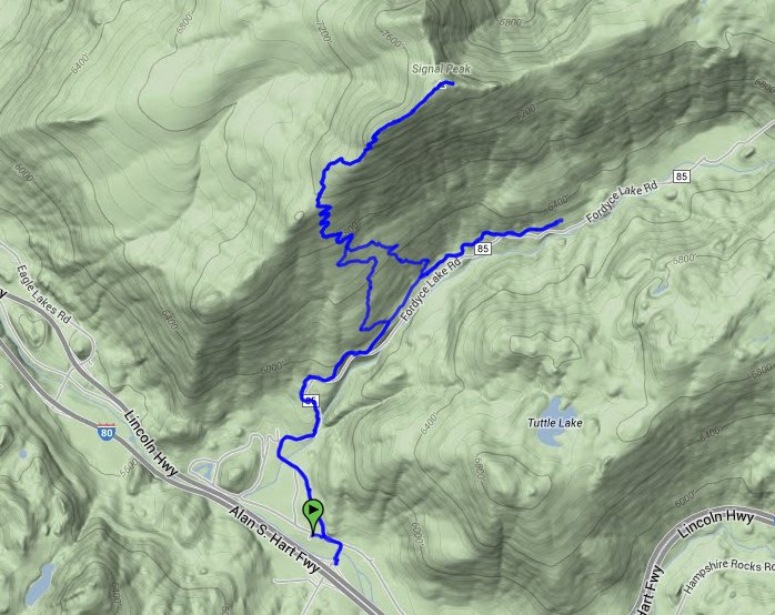
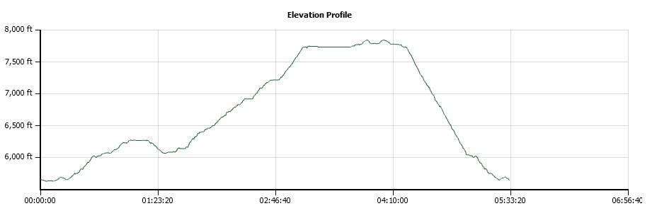
Distance: 9.2 Miles
Vertical Gain: 2400'
Group Size: 3
Hike Rating: Easy Moderate Hard Strenuous
 GPX for
this trip
GPX for
this trip
| Start Coordinates: | N 39 18.726 W 120 32.656 | End Coordinates: | Same as Start Coordinates | ||
| Car Shuttle Req'd: | No | Parking Directions: | Take Highway 80 to the Cisco
Grove Exit. Turn left (north) back over the freeway. Turn left on Hampshire Rocks Road, and pull into the Cisco Grove store on the left. There is a fee for parking here. |
||
| Hazards of Note: | Steep climb to the top. Difficult to find the correct junction to turn off the road to head upward. |
Crowd Factor: | Minimal. This is a popular winter destination for snow-shoeing and cross country skiing but summer is relatively quiet. | ||
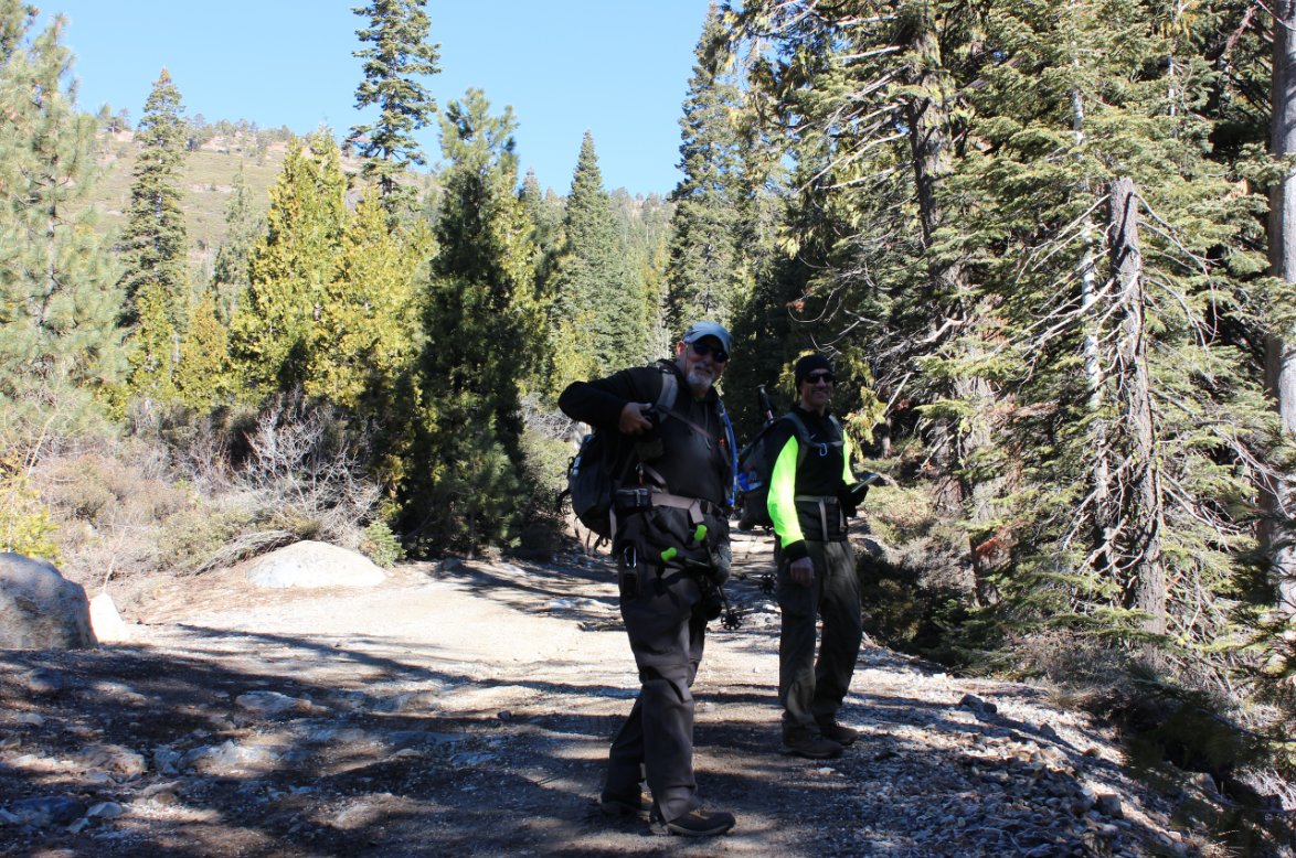
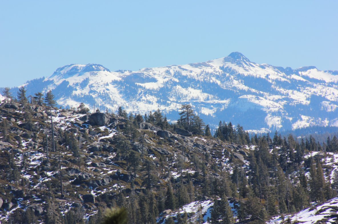
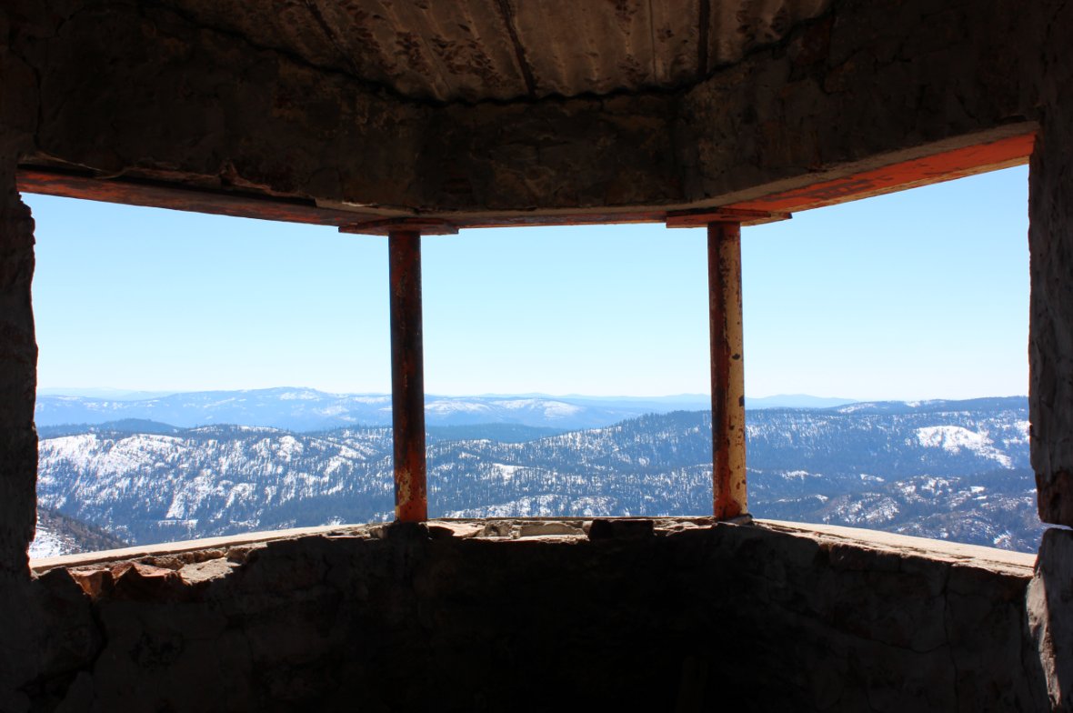
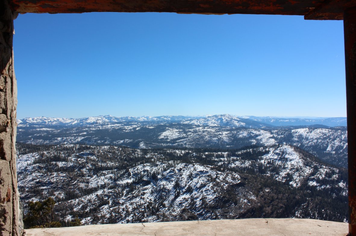
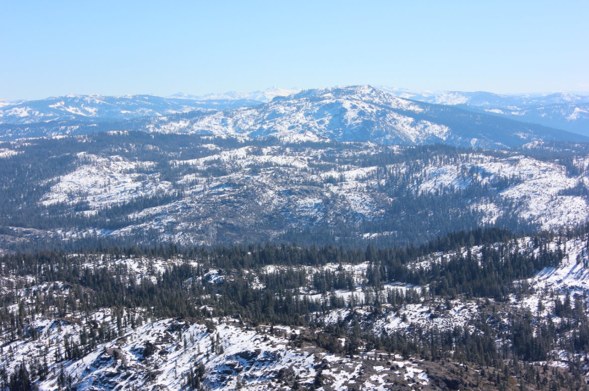
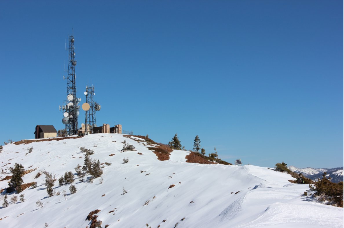
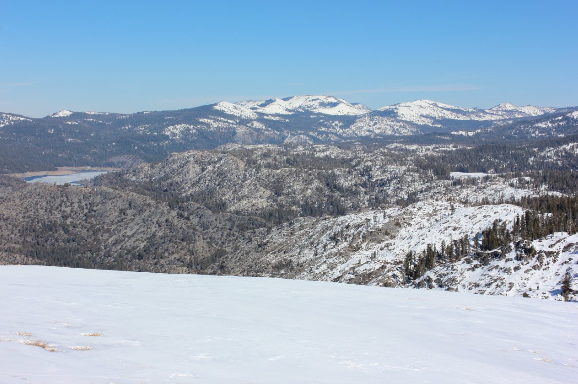
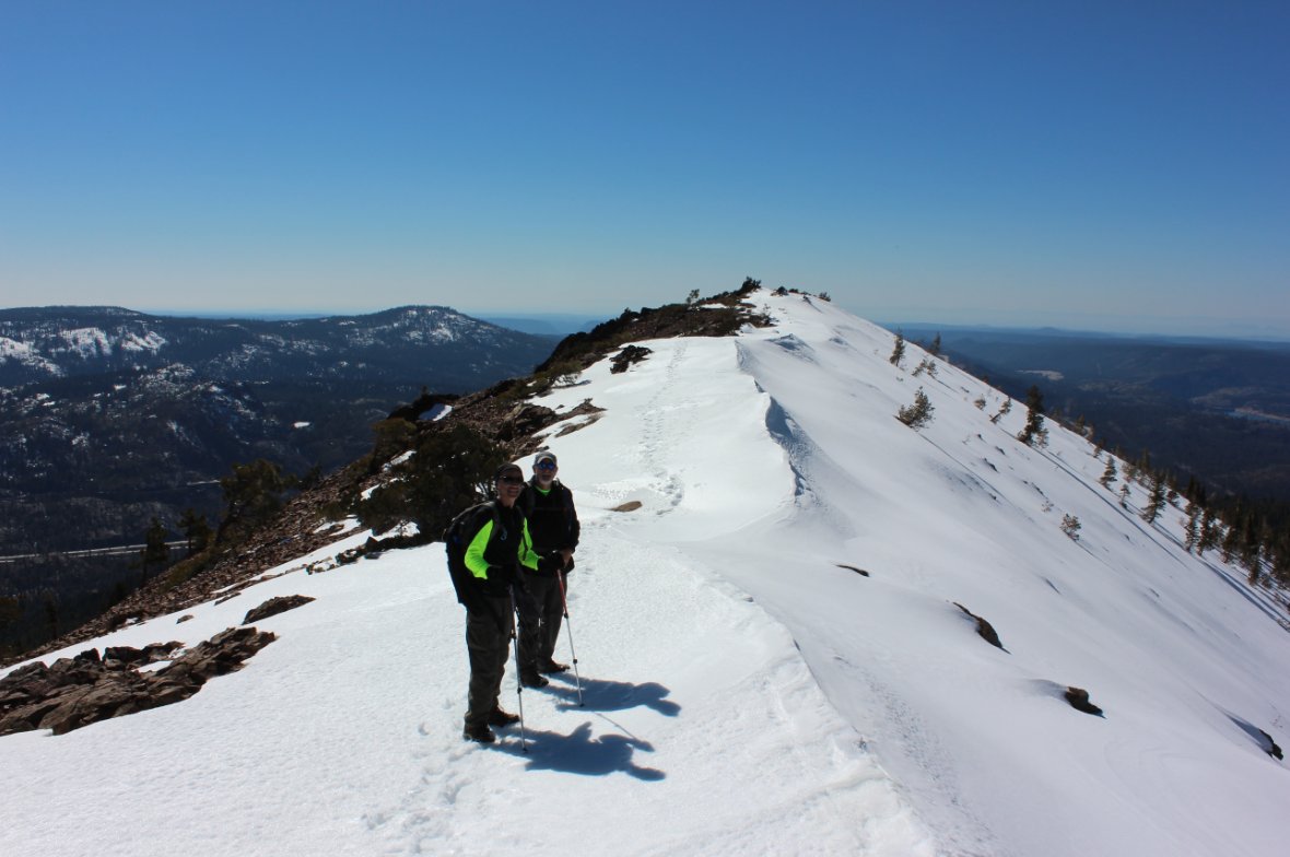
| General Notes: This trail starts off at the parking lot at Cisco Grove, just off highway 80. Head up the dirt road (Fordyce Lake Road) for about a mile and a half. The spot to cut up the mountain toward the peak is very easy to miss, but is marked with a number of colored ribbon tags along the left side of the trail. The actual coordinates for this spot are N 39 19.492, W 120 32.355. You will then generally follow a use trail up the steep slope of the mountain, first toward the west before it then cuts back north east and then hits some switchbacks as you get closer to the top. The first ridge that you come upon, still to the west of the actual summit contains an old stone structure that was used by the railroad to watch the tracks across the valley and spot any avalanches which might impede train travel. Continue up the ridge past this until you reach the actual summit. There are a number of radio and communication towers here, making the summit obvious. |
|||||