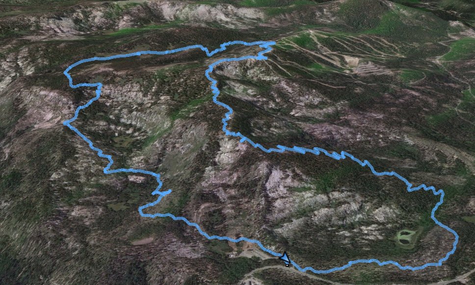
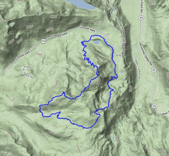
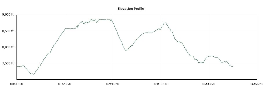
Distance: 14.5 Miles
Vertical Gain: 2600'
Group Size: 1
Hike Rating: Easy Moderate Hard Strenuous
 GPX for
this trip
GPX for
this trip
| Start Coordinates: | N 38 48.861, W 120 02.045 | End Coordinates: | Same as Start Coordinates | ||
| Car Shuttle Req'd: | No | Parking Directions: | Take Highway 50 toward Echo Summit. Turn into the Adventure Mountain parking area, which also includes trailhead parking for the Pacific Crest Trail. | ||
| Hazards of Note: | None. | Crowd Factor: | Minimal. You might run into a few people on the PCT, but once you divert off to Scout Peak you will probably run into nobody on the trail. | ||
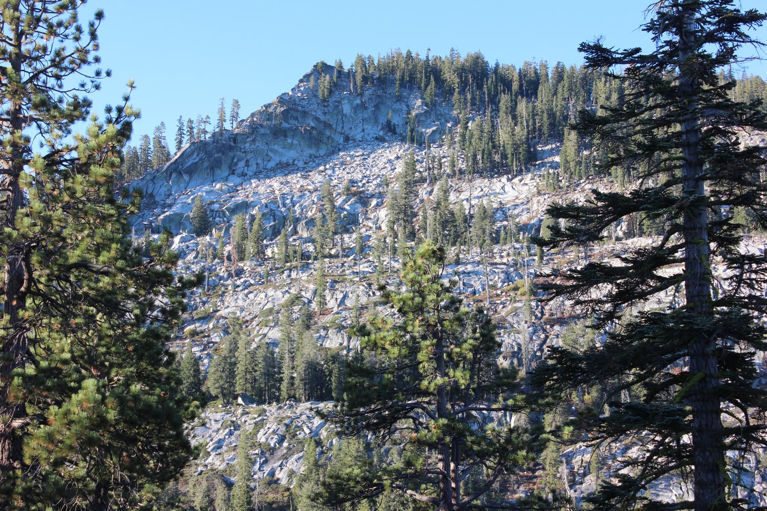
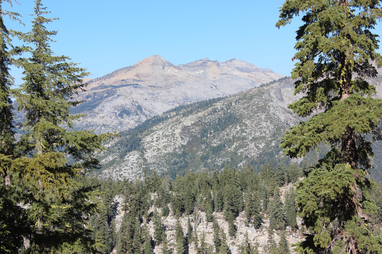
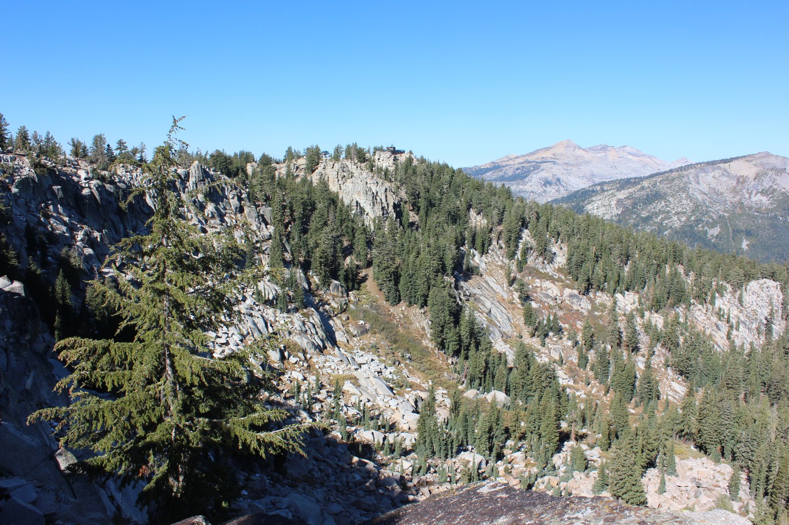
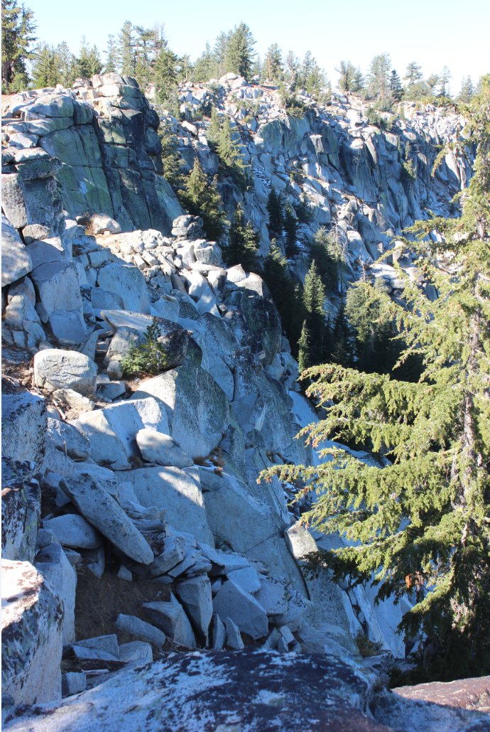
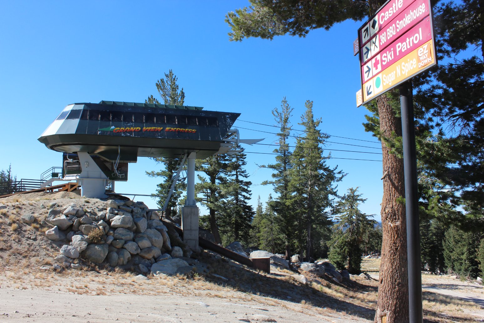
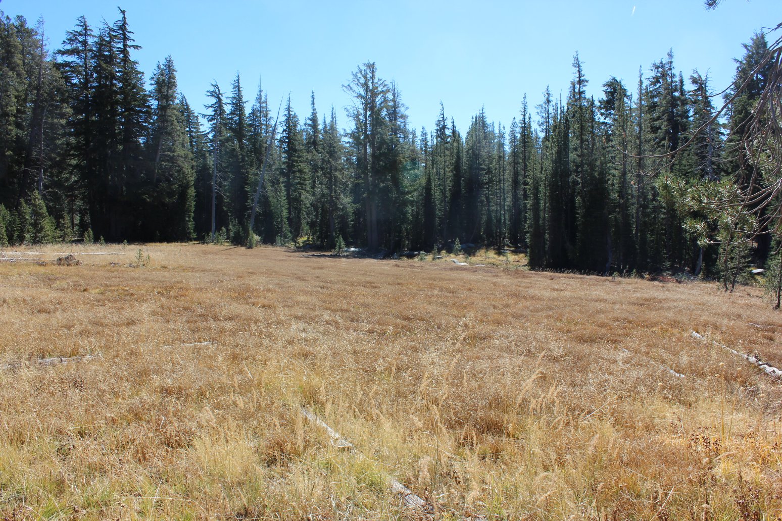
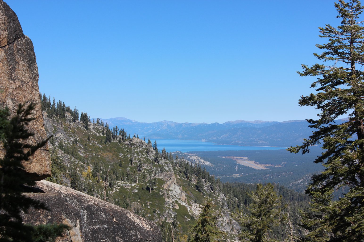
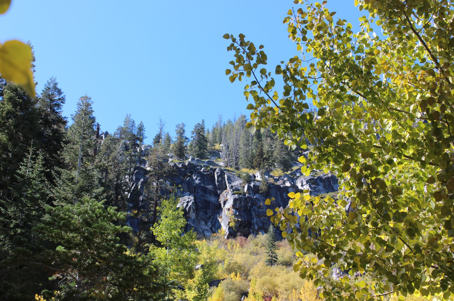
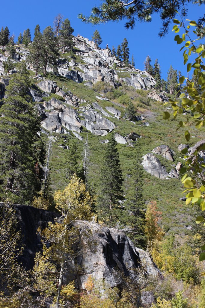
| General Notes: From the parking area head a little over a mile along the PCT, and then turn on the dirt road to the left which heads up to the top of Scout Peak. This is a dirt road that meanders back and forth about for over four miles until you reach the top. Once at the top, check out the views toward the Carson Pass area to the Southeast, and then walk past the Caltrans building near the top and find the small use trail that travels along the ridgeline, mostly parallelling the utility poles until you reach the Sierra at Tahoe Ski Area. Hike through this area and then when you find a reasonable spot, head down to the south and pick up the Bryan Meadow trail. Head east on this trail and hike through Bryan Meadows, gaining elevation most of the time until you hit the Pacific Crest Trail. Turn north on the PCT, and follow it for a few miles until you wind up back at the parking area. |
|||||