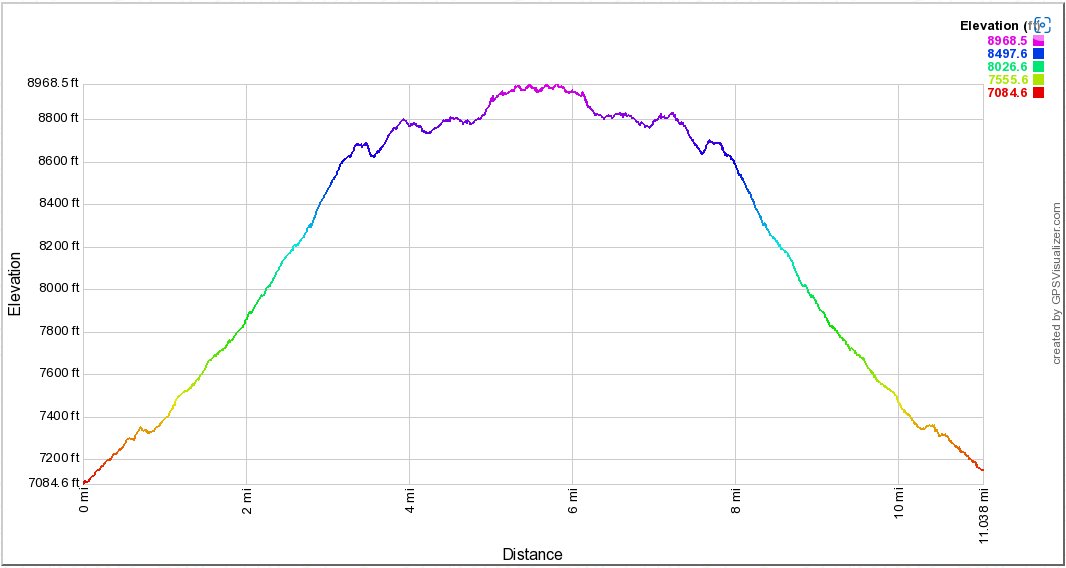
Distance: 11.1 Miles
Vertical Gain: 1900'
Group Size: 5
Hike Rating: Easy Moderate Hard Strenuous
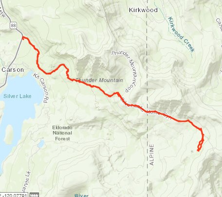
 GPX
for
this trip
| Start Coordinates: | N 38 40.796, W 120 06.969 | End Coordinates: | Same as starting coordinates. | ||
| Car Shuttle Req'd: | No | Parking Directions: | Park
at the Horse Canyon trailhead just to the east of Silver Lake,
approximately 2 miles west of Thunder
Mountain trailhead on the south side of Highway 88. |
||
| Hazards of Note: | In
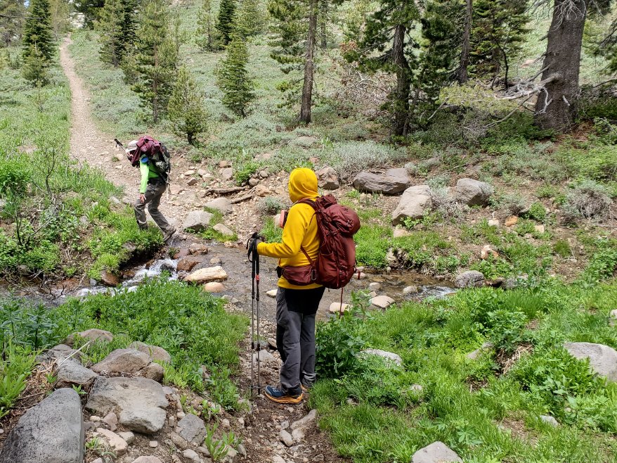
the spring and early summer there will be water on the trail at times,
but in the later part of the year expect a dry trip until you reach the
lake. |
Crowd Factor: | Negligible. For the first two miles you might run into people coming down from Thunder Mountain or up from Silver Lake, but past this on the way toward Scout Carson you will most like not run into anyone. | ||
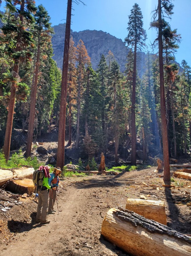
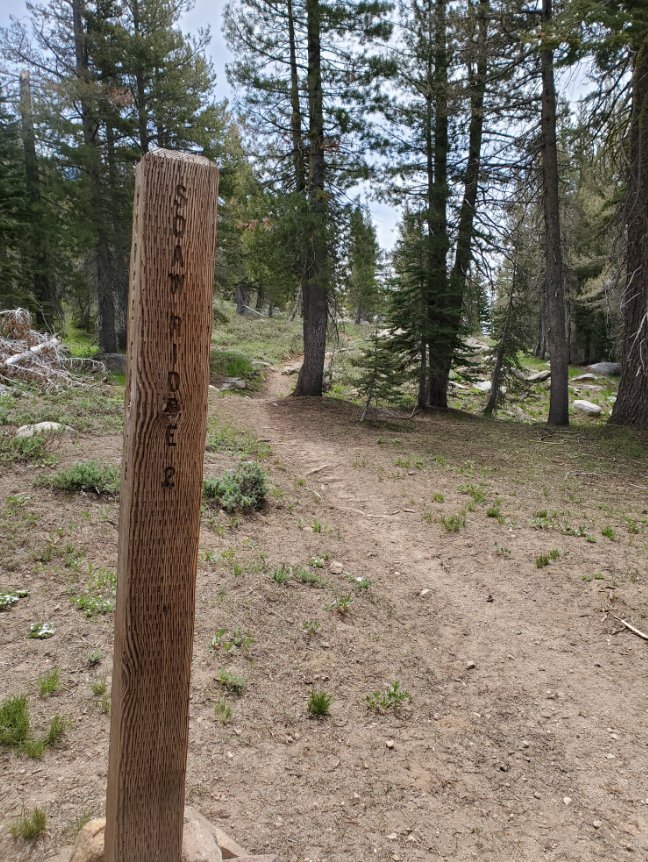
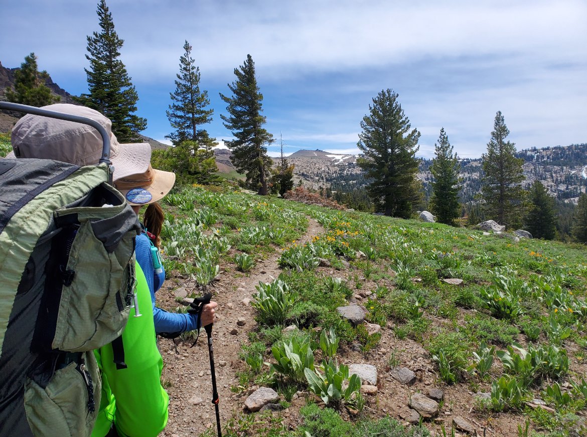
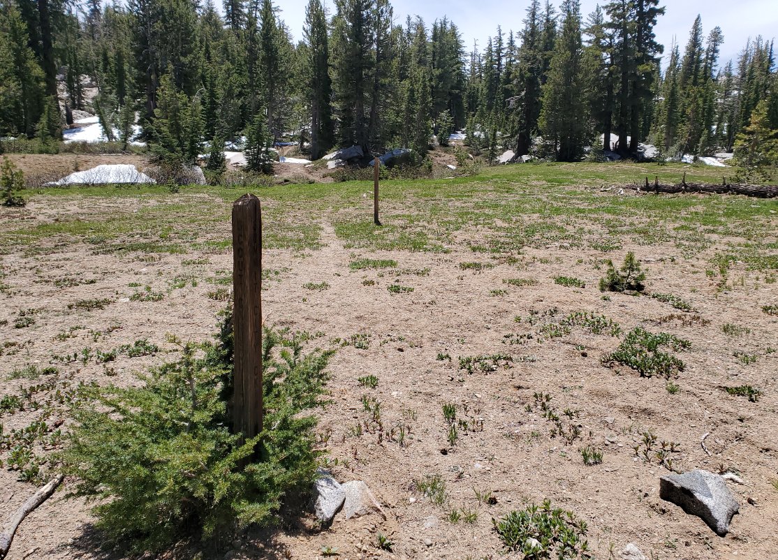
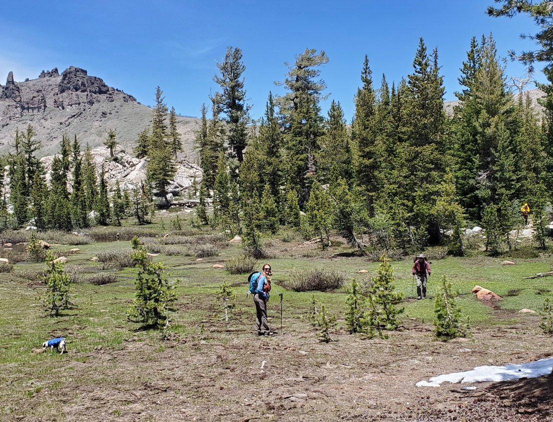
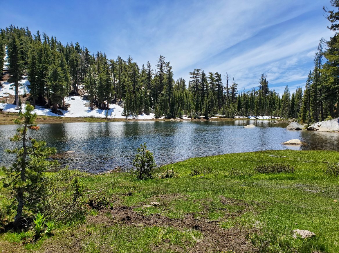
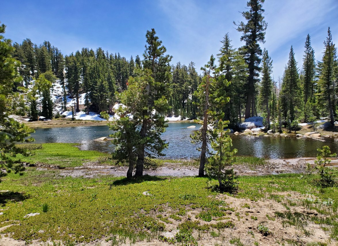
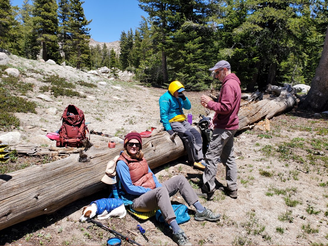
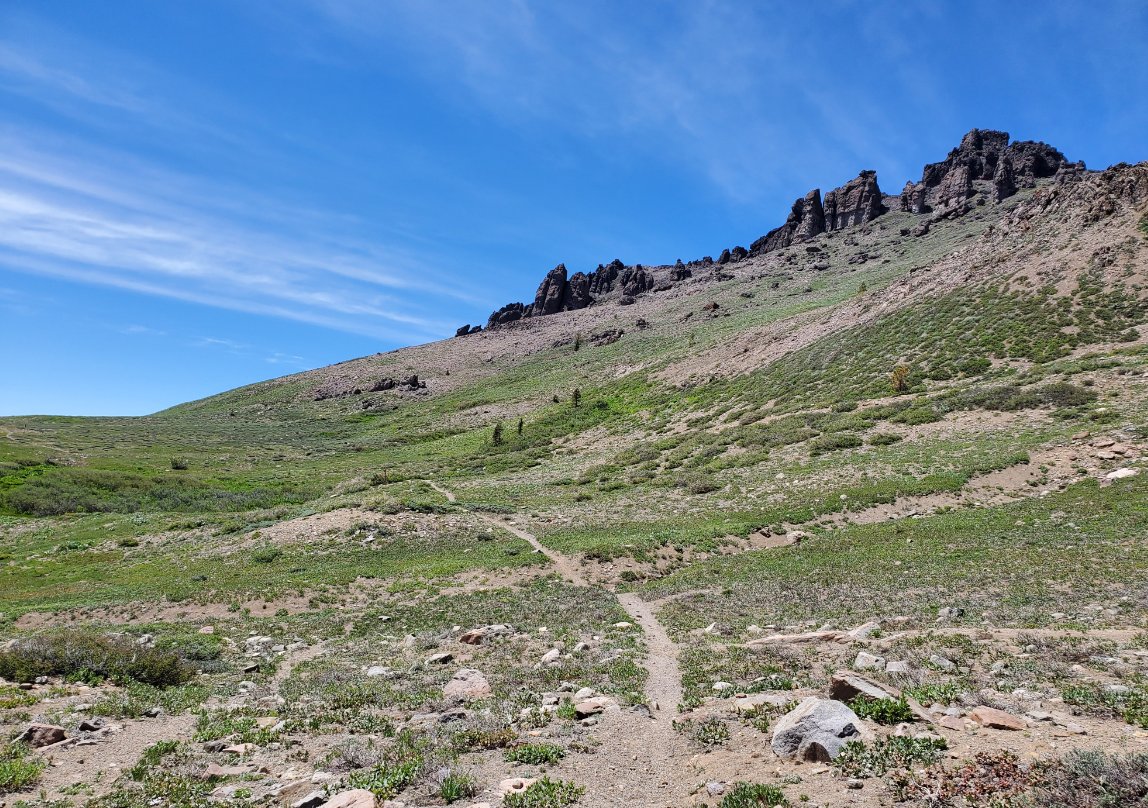
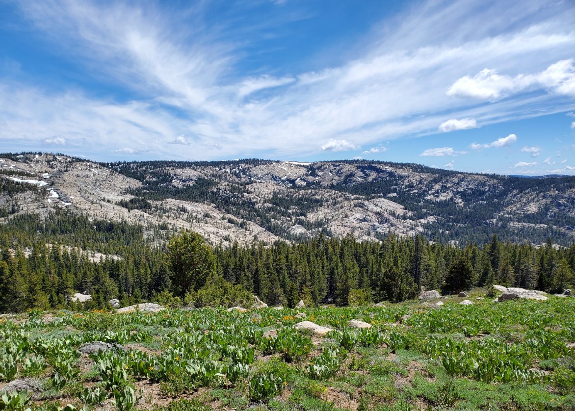
| General Notes: From the parking area south on the Horse Canyon trail, the first couple of miles of which we found have been recently and impressively improved compliments of the Mother Lode Trail Stewardship. There were numerous trees dropped and cleared from the trail, it had been recently graded and was a good 4-5 feet wide in most of the sections along this early section. A couple of miles from the trailhead you will reach the junction with the trail that comes down from Thunder Mountain, which is still signed with the embarrassing misspelling of the old name of Squaw Ridge (now Hungalelti.) From here the trail passed out of the tree cover that you have been walking through up to this point, and the views to the west of Silver Lake, Granite Lake, the Machado Postpiles and the extent of Hungalelti Ridge are amazing. We found the flowers starting to bloom in abundance, and as the trail continued to climb we passed along the base of Thumble Peak, Covered Wagon Peak, and almost to Melissa Coray Peak before we reached the turnoff to Scout Carson Lake about 1/2 a mile before we would have had to climb up onto the ridge. The trail to Scout Carson Lake is typically not difficult to follow, but there was still a number of sections of snow on the ground which caused us to have to find our way to the lake. Since it is only about 4/10s of a mile it wasn't difficult, but even on the way back from the lake later it was easy to lose track of the trail in spots. The lake itself is a pleasant and peaceful destination, surrounded by trees and granite on the south and west sides. There was an obvious campsite in the northeast corner of the lake with a large downed tree that made a perfect spot to eat lunch and enjoy the area. |
|||||
