
|
Lake
Schmidell Hike Backpack (Day 3)
|
|
Trip Date: 06/27/2021
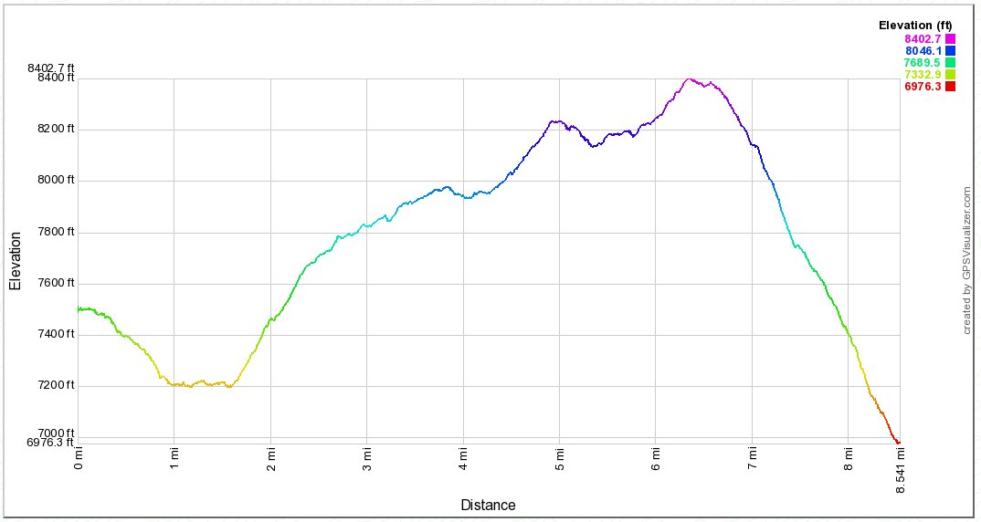
Distance: 8.5 Miles
Vertical Gain:
1400'
Group Size:
3
Hike Rating: Easy
Moderate
Hard
Strenuous |
 See
video of hike
 GPX for
this trip
|
|
|
Start Coordinates: |
N/A - This is a continuation
from Day
2 |
|
End Coordinates: |
N 38 56.768 W 120
05.883 |
| Car Shuttle
Req'd: |
Yes |
|
Parking
Directions: |
Take Highway 89 to Emerald Bay
on the west side of Lake Tahoe to the Bayview Campground parking area. |
| Hazards of
Note: |
The trail in the Rockbound
Valley through Camper Flat and beyond is overgrown and often filled
with water. Multiple crossings are necessary, with the last
one being the Rubicon River. |
|
Crowd Factor: |
Low to High. The
beginning of the day will be very uncrowded until you reach Middle
Velma Lake and the PCT. From here there will be people on the
trail everywhere all the way to the Bayview Parking area. |
General Notes:
From
4-Q Lakes the trail almost immediately heads down, and after only a
mile you reach the floor of the valley. This section of
trail was very wet and overgrown, with water crossings multiple times
over the next mile or so. Just past Camper Flat is a
junction to head toward the Velma Lakes and the PCT, heading east and
crossing the Rubicon River. Just past this crossing the trail
will begin a constant climb for the next nearly 5 miles, but affords
amazing views of the area traversed over the past few days and even up
north toward Loon Lake and the peaks that sound it.
At the junction with the Pacific Crest Trail at about 5 1/2 miles into
the day, there are suddenly and seemingly people everywhere.
From this point on we passed group after group of both day hikers and
backpackers on their way to all sorts of destinations. The
climb will continue past Middle Velma Lake, until you climb up the
ridgeline immediately to the west of South Maggie's Peak, the high
point for this section of trail. In fact, once here the last
two miles are a very sharp series of switchbacks and trail downward,
until you reach the end at Bayview Campground at Emerald Bay, the end
of the 3 day backpacking trip.
Since
this is a hike into Desolation Wilderness, you will need an overnight
wilderness permit which includes all members of the group. |
|
|
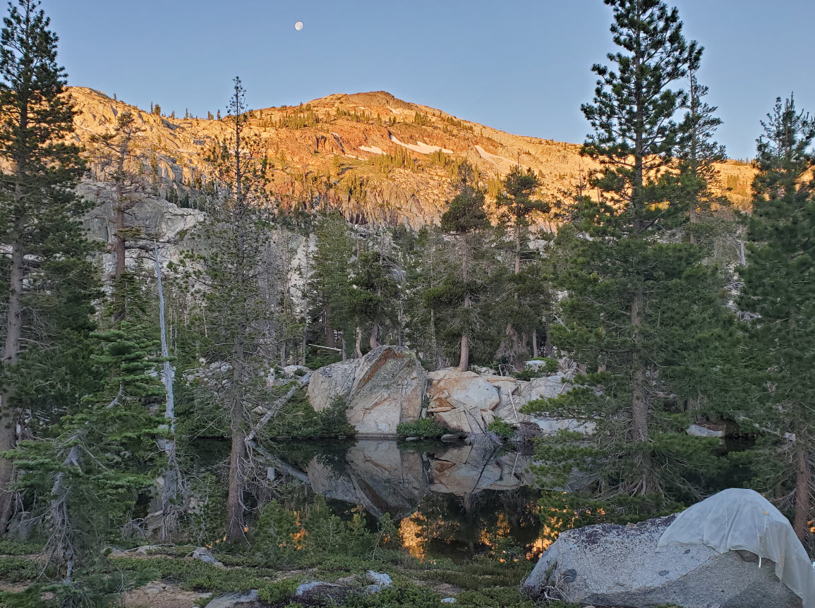
Early this morning we caught
more Alpenglow on the ridgeline that our previous night's lake was on
the other side of. |
 |
|
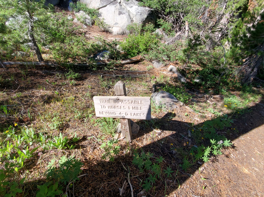
Another warning about not
bringing horses any further along this trail as it descends down into
Rockbound Valley. |
 |
|
Once we reached Camper Flat,
much of the trail looked a lot like this, requiring navigational skill
to attempt to keep your feet as dry as possible. |
 |
|
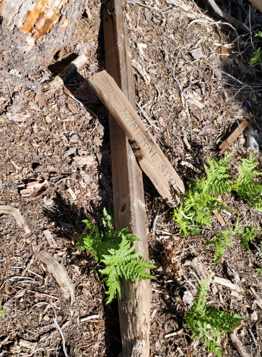
This marker for Mineral
Springs has seen better days, but at least we knew exactly where we
were. |
 |
|
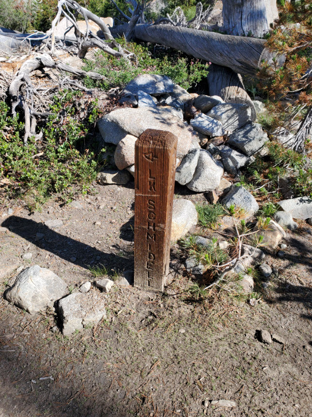
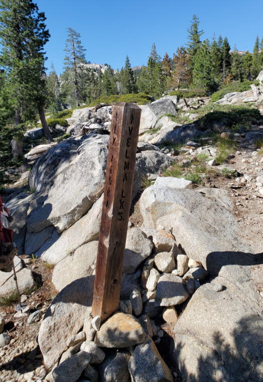
Just before the Velma Lakes
junction, we passed the trail that we passed at the other end on the
first day, which would take us to Lake Schmidell from down in the
valley far below. Our trail marker to the Velmas was just about 1/4 mile past that first marker. |
  |
|
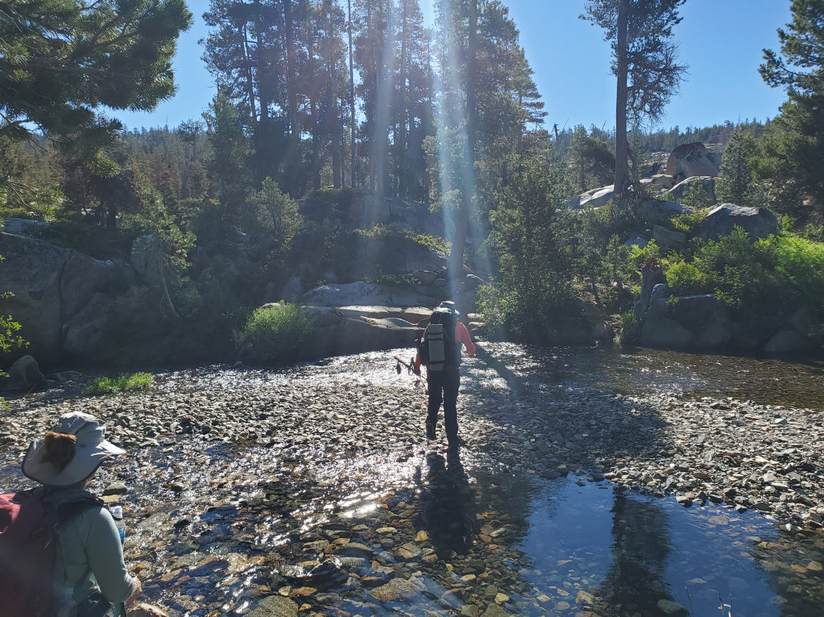
One
advantage of a fairly dry winter was that the Rubicon River was no
issue to cross at all. Some of the earlier tributaries through
Camper Flat were much harder to navigate. |
 |
|
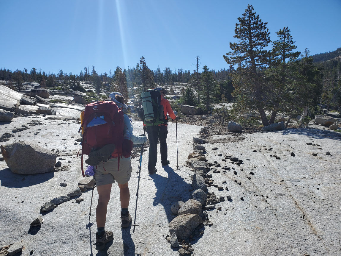
Past the
river crossing, for the first time since the first day, we welcomed
some well-marked trails that didn't have to be guessed at. |
 |
|
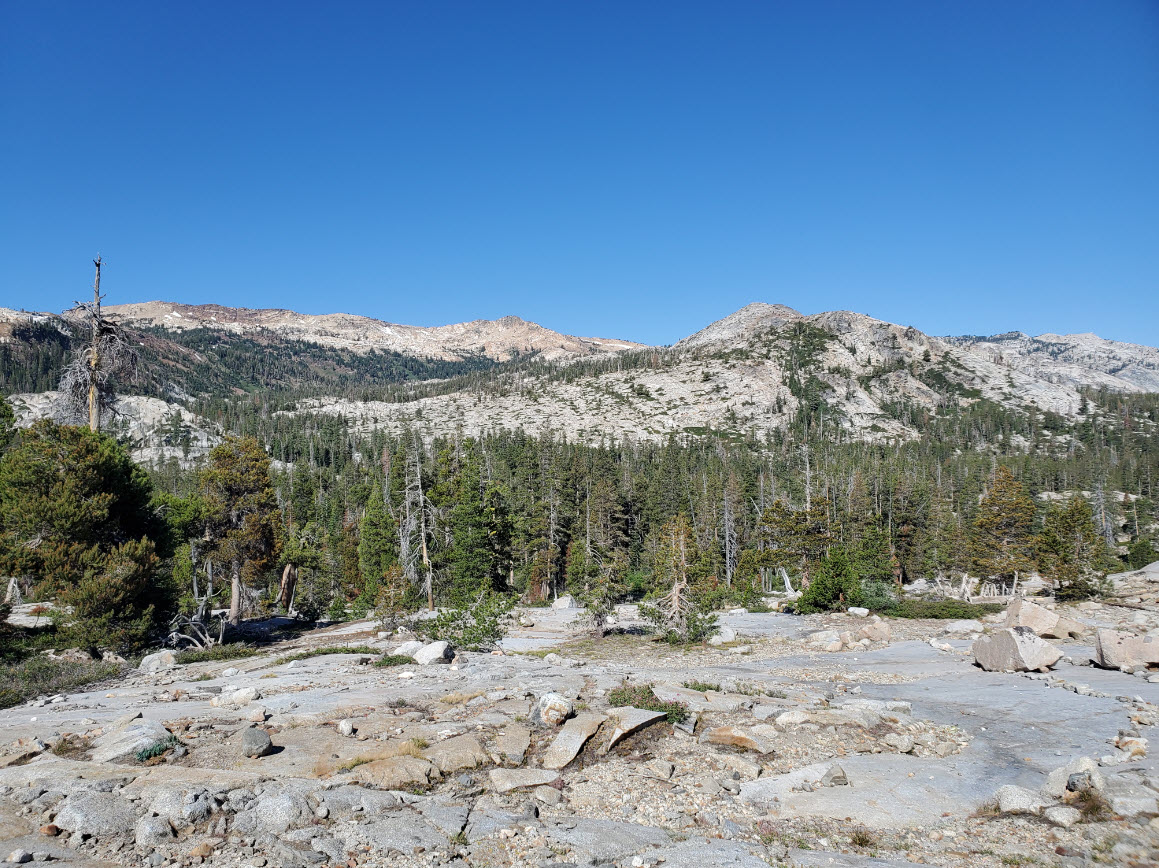
As we
continually gained altitude, we were able to look back west and take in
the entire range of travel from our first two days, at least on this
side of the Crystal Range ridge. |
 |
|
Eventually we reached the Pacific Crest Trail, and then soon had a nice first look at Middle Velma Lake. |
 |
|
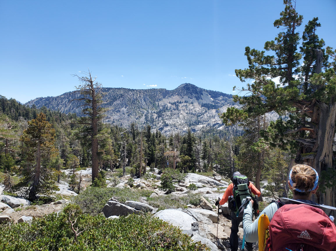
A little further up we began to see and head toward Mt. Tallac, a signature peak in the Desolation Wilderness. |
 |
|
Ironically enough, this unnamed pond past the Velmas has one of the best lake views of the day. |
 |
|
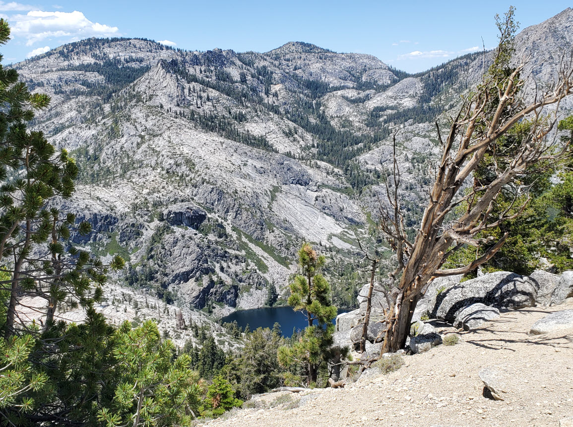
At the day's high point behind South Maggie's Peak, you can look down upon Eagle Lake far below. |
 |
|
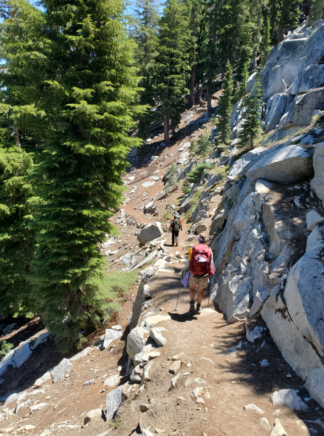
Just past the view of the lake, the serious downhill starts for the next couple miles. |
 |
|
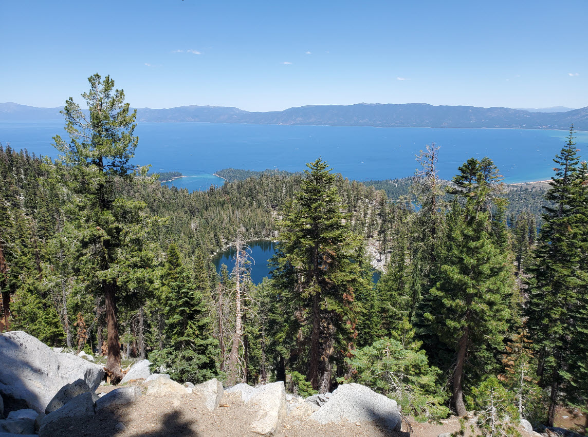
The
double distraction of Granite Lake below with Lake Tahoe in the
background make for a nice trip down the steep section of trail over
the final two miles of the trip. |
 |
|
Finally,
the Bayview campground parking area comes into sight and we are done
with the trip. A successful adventure traversing across
Desolation Wilderness from west to east. |
 |
|
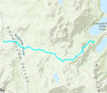
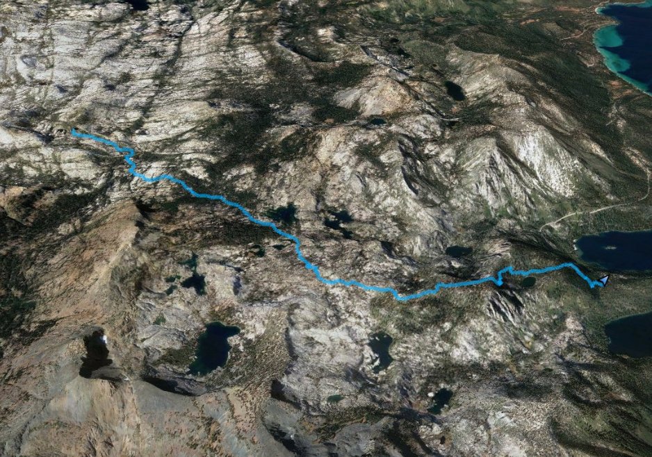
GPS track of the hike,
starting at the upper left and heading down into Rockbound Valley,
across the Rubicon River and then out at Emerald Bay. |
 |


 See
video of hike
 GPX for
this trip


