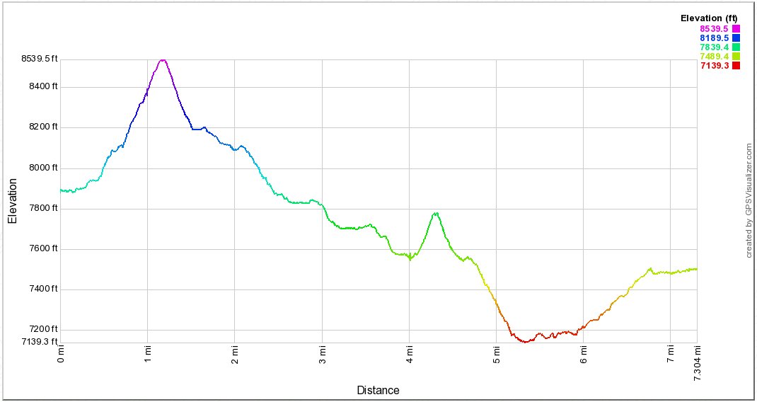
Distance: 7.3 Miles
Vertical Gain: 900'
Group Size: 3
Hike Rating: Easy Moderate Hard Strenuous
 See
video of hike
See
video of hike
 GPX for
this trip
GPX for
this trip
| Start Coordinates: | N/A - This is a continuation from Day 1 | End Coordinates: | N/A | ||
| Car Shuttle Req'd: | N/A | Parking Directions: | N/A | ||
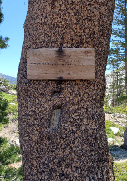
| Hazards of Note: | The main section of trail past the Leland Lakes to 4-Q Lakes, called the McConnell trail is very rudimentary and difficult to follow without advanced navigation skills. | Crowd Factor: | Low. Once you leave Lake Schmidell the McConnell Trail was almost completely isolated during the entire day. | ||
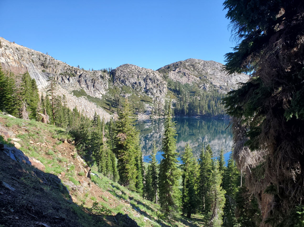
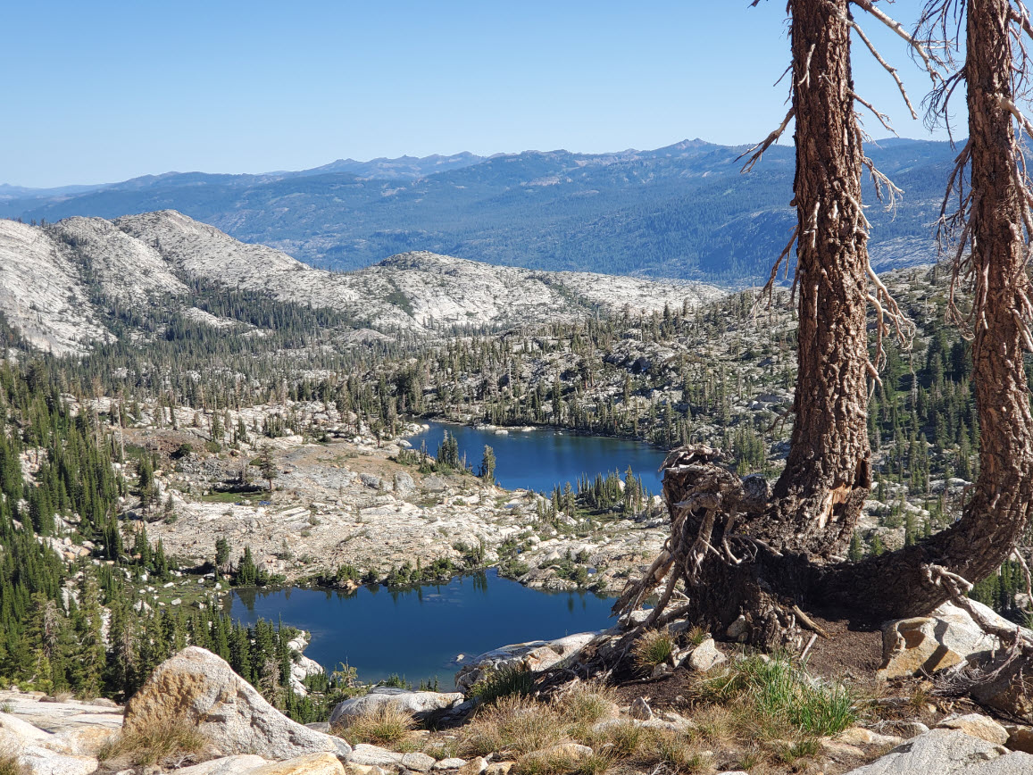
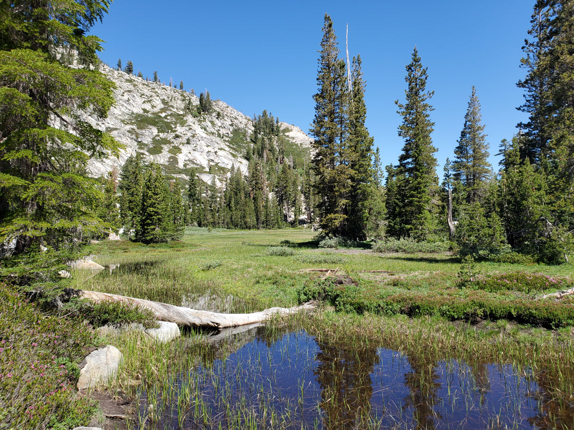
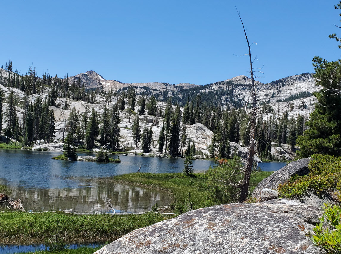
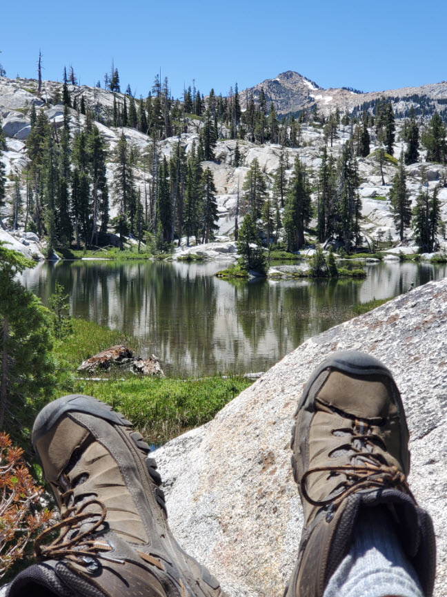
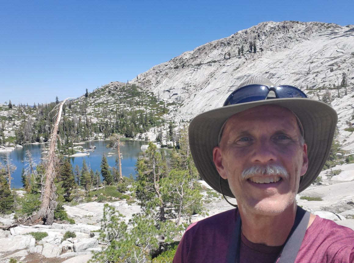
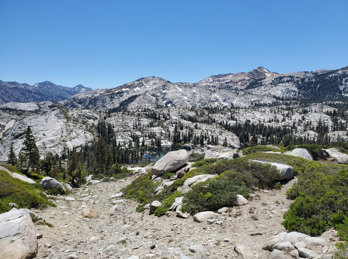
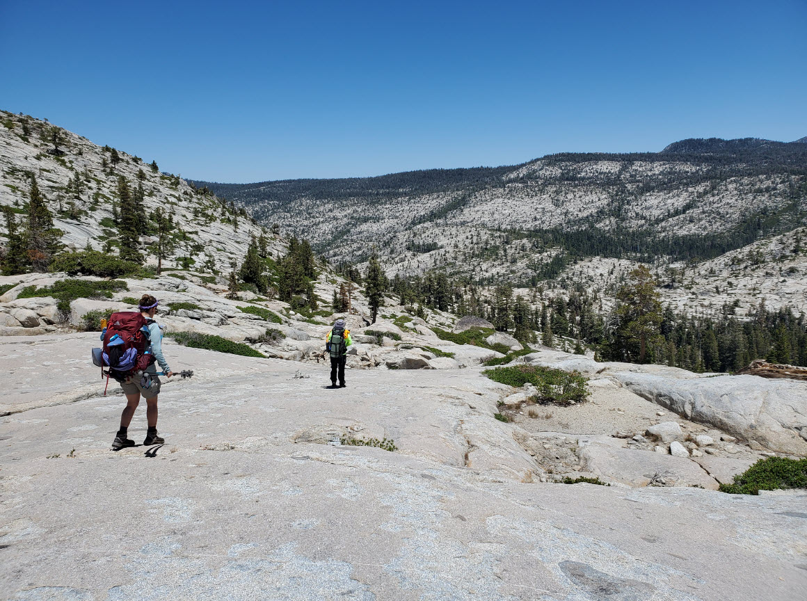
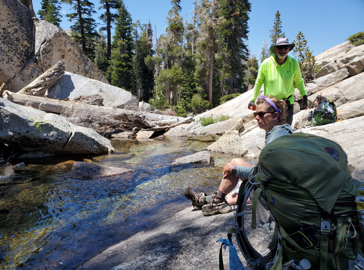
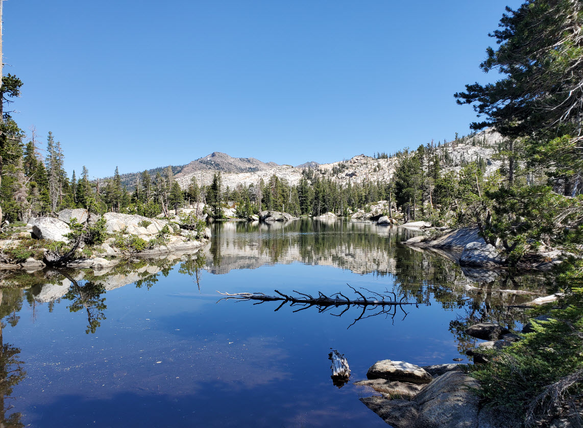
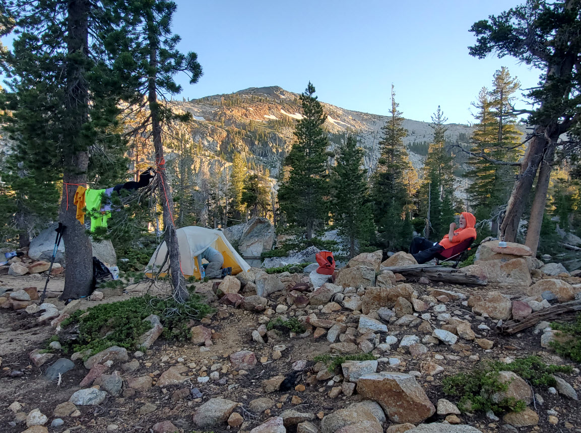
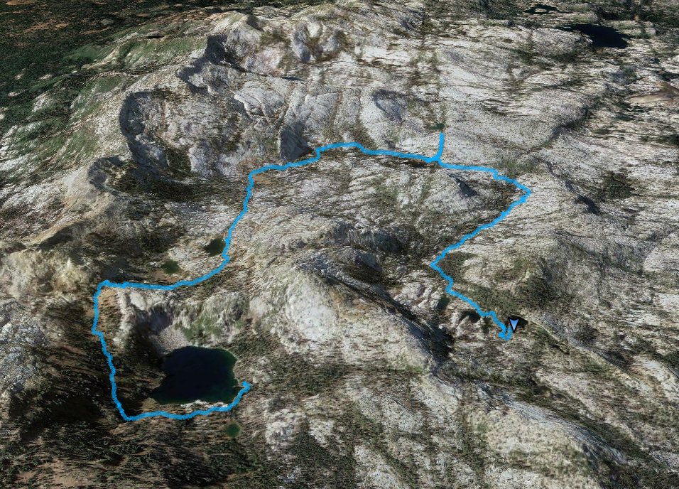
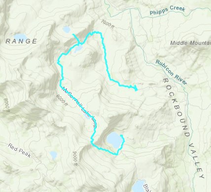
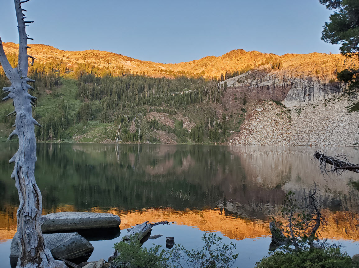
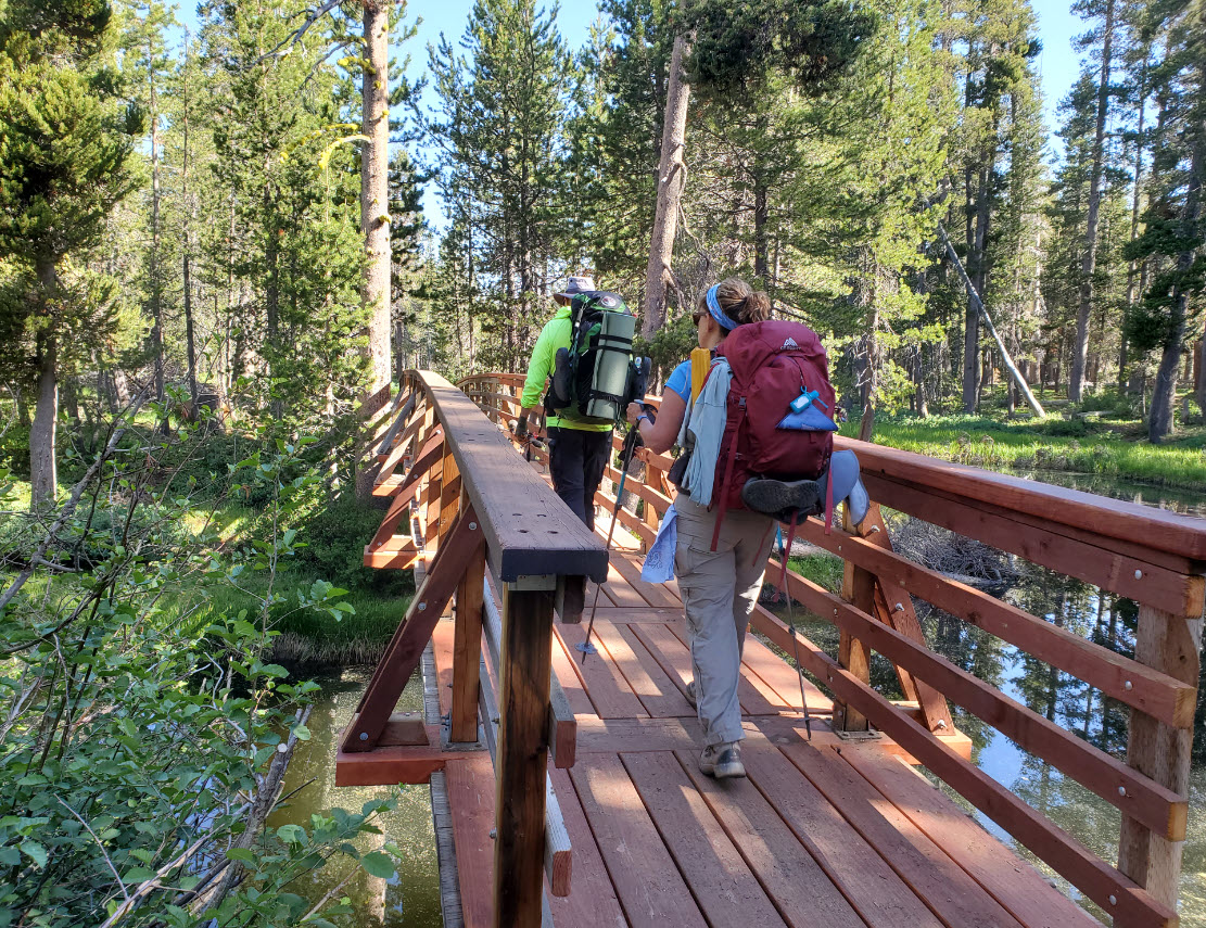
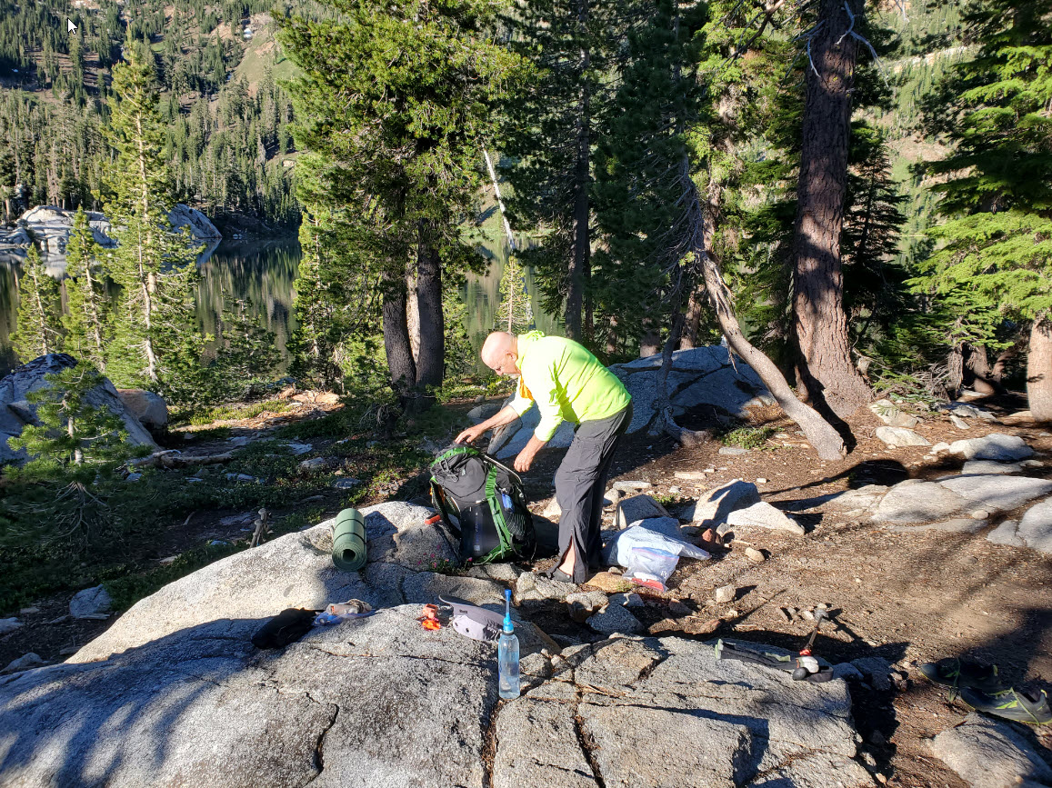
| General Notes: After crossing the Lake Schmidell outlet dam once again, retrace your steps back to the junction reached when first arriving at Lake Schmidell the previous day. Continue straight on this trail, and you will quickly climb over the next mile up to the ridgeline to the north of Schmidell. This spot offers a fantastic view down toward the Leland Lakes, as well as the area the McConnell Trail will continue through further north. Once you drop down to the Leland Lakes and pass them, the trail will become very difficult to follow in places, but just stay near the granite rise on your left (to the west) as the trail bends around past McConnell Lake toward Horseshoe Lake. From here you can take a short 1/3 mile side trip up to the north to Lake Zitella, or continue on to the 4-Q Lakes. This section is the most difficult to follow on trail, as much of it is over open granite with cairns leading off in all directions. Be sure to have a map, compass and GPS to navigate this section successfully. Once you reach the 4-Q Lakes, head past the first three, and actually cross part of the water along the trail. There is a perfect camping spot at the fourth lake, the one furthest to the east in the area where the lake bends around almost like a U. Since this is a hike into Desolation Wilderness, you will need an overnight wilderness permit which includes all members of the group. |
|||||
