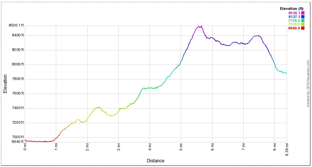
Distance: 8.5 Miles
Vertical Gain: 1800'
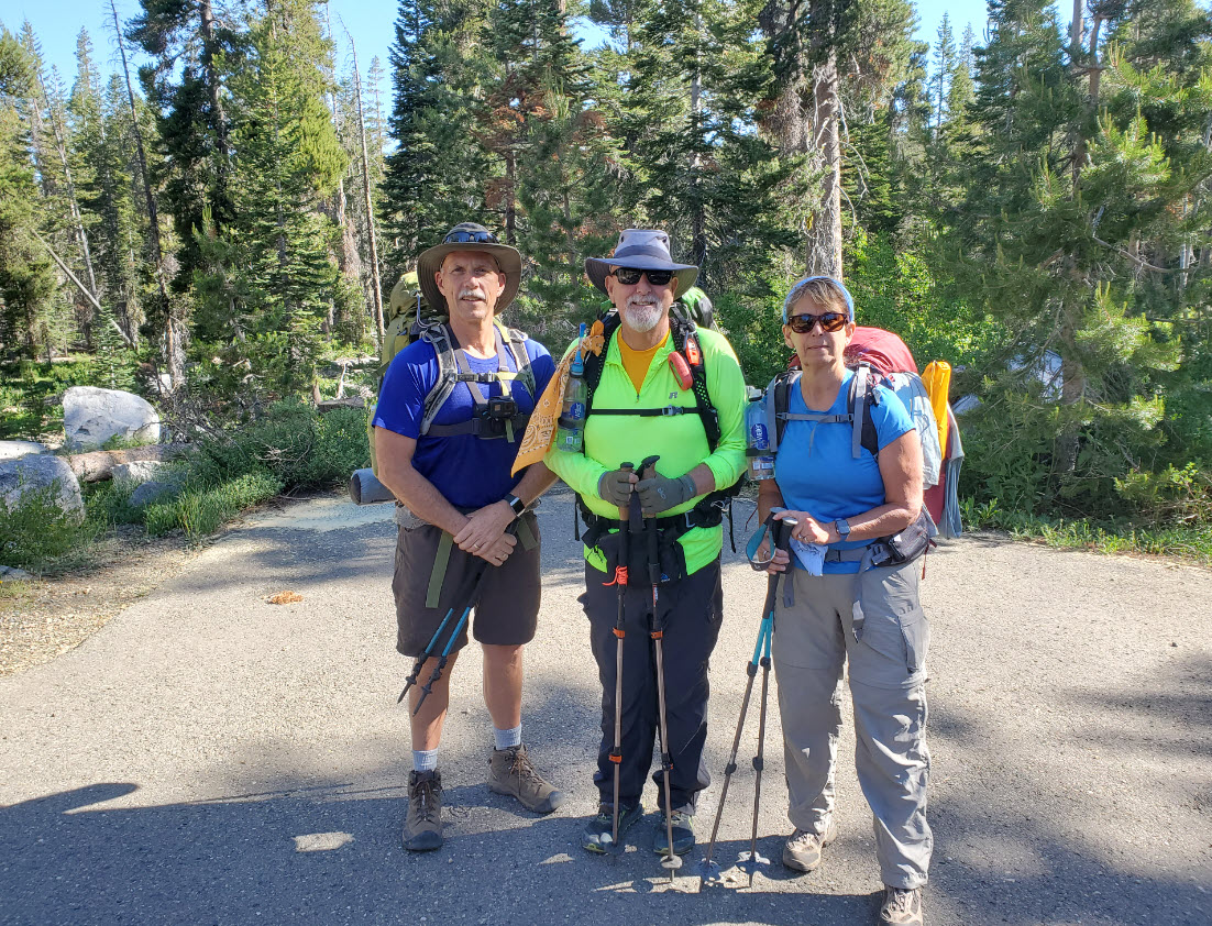
Group Size: 3
Hike Rating: Easy Moderate Hard Strenuous

 See
video of hike
See
video of hike
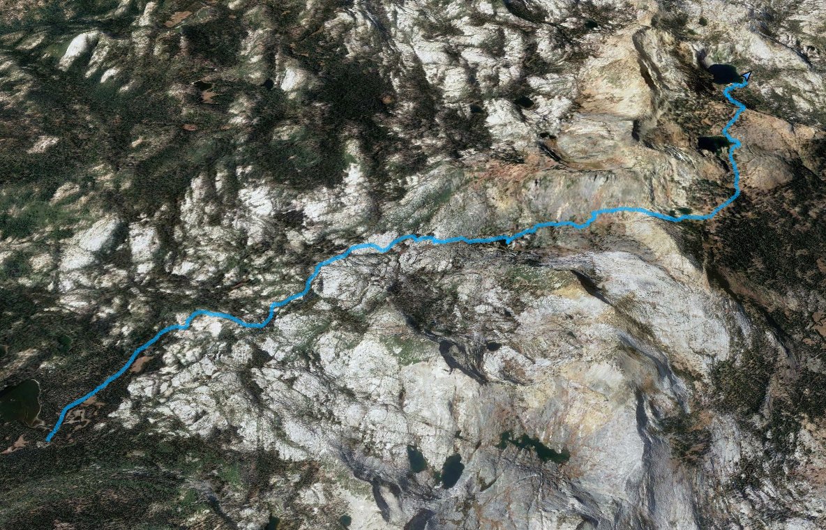
 GPX for
this trip
GPX for
this trip
| Start Coordinates: | N 38 50.063, W 120 02.641 or overflow parking at N 38 50.542, W 120 14.120 |
End Coordinates: | N 38 56.768 W 120 05.883 | ||
| Car Shuttle Req'd: | Yes | Parking Directions: | Take Highway 50 to Wrights Lake Road, and head approximately 8 miles north until you get to the entrance to the Wrights Lake recreation area (if this gate is closed you have to park just to the right before this spot and add a mile to the hike from this location each way.) Turn right at the junction and drive along the south end of the lake for a mile until you reach the Desolation Wilderness Trailhead parking area at the coordinates provided. | ||
| Hazards of Note: | The trail is rocky along the first part, there are a number of possible false trails you can take as well. Just head either north from the bridge you cross or head to the Rockbound Pass trailhead on the west side of Wrights Lake. | Crowd Factor: | Moderate at the start, as there are many destinations from this trailhead including Twin/Island Lakes, Grouse/Smith Lakes and Tyler/Gertrude Lakes. Once you get onto the Rockbound Pass trail, the potential crowd factor will drop significantly. On the other side of the pass there will be some people at the lakes, especially Lake Schmidell, but anyone here is on a multiple day trip so there are many fewer than in other parts of Desolation Wilderness. | ||
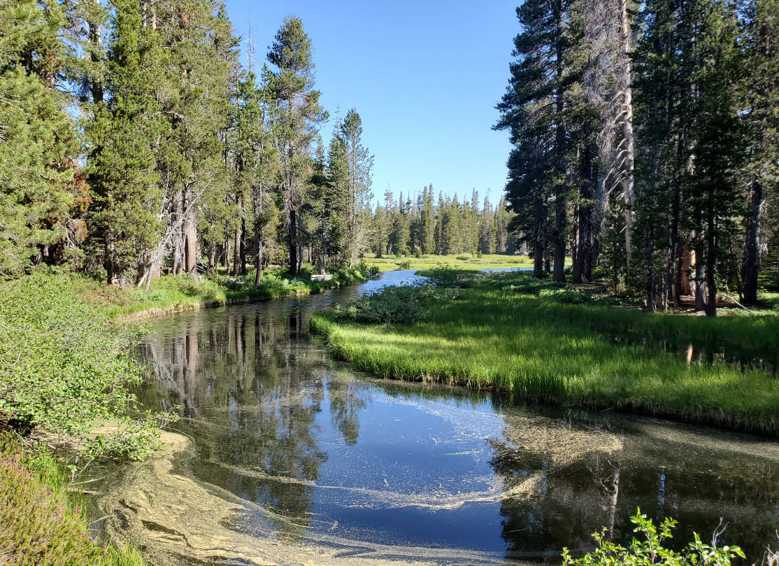
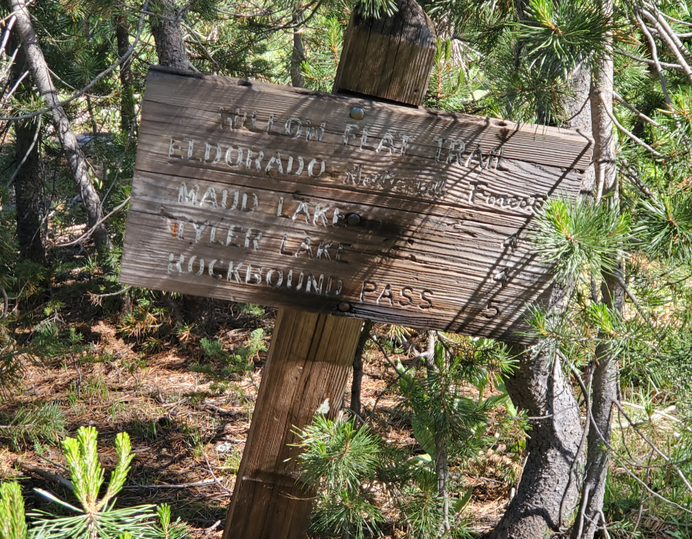
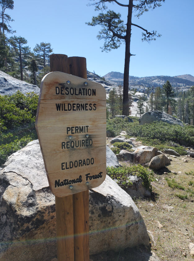
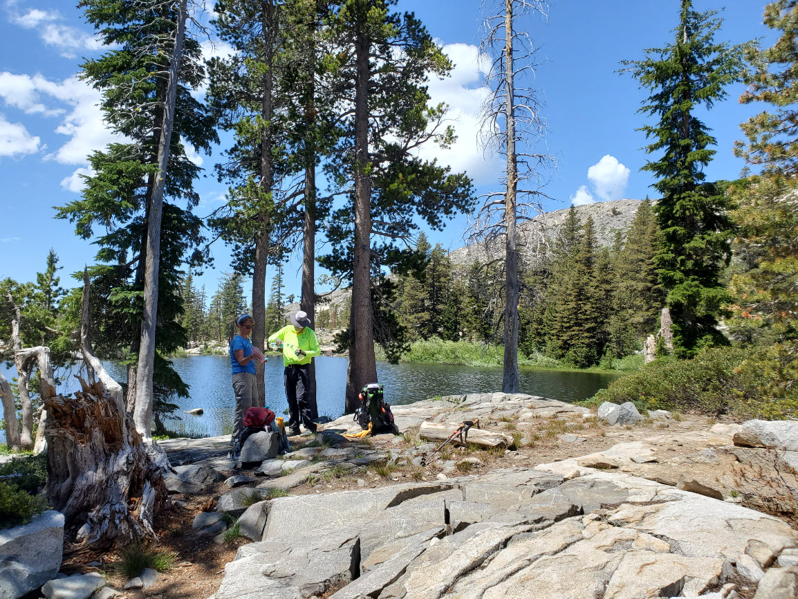
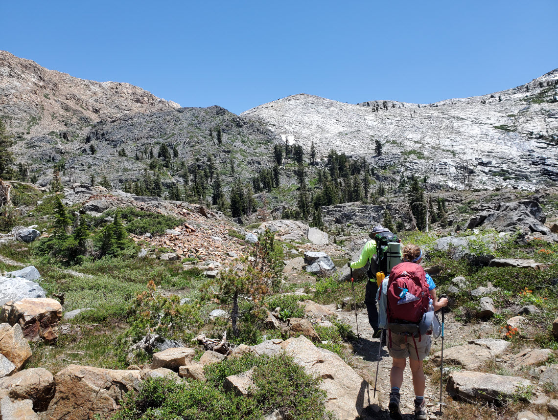
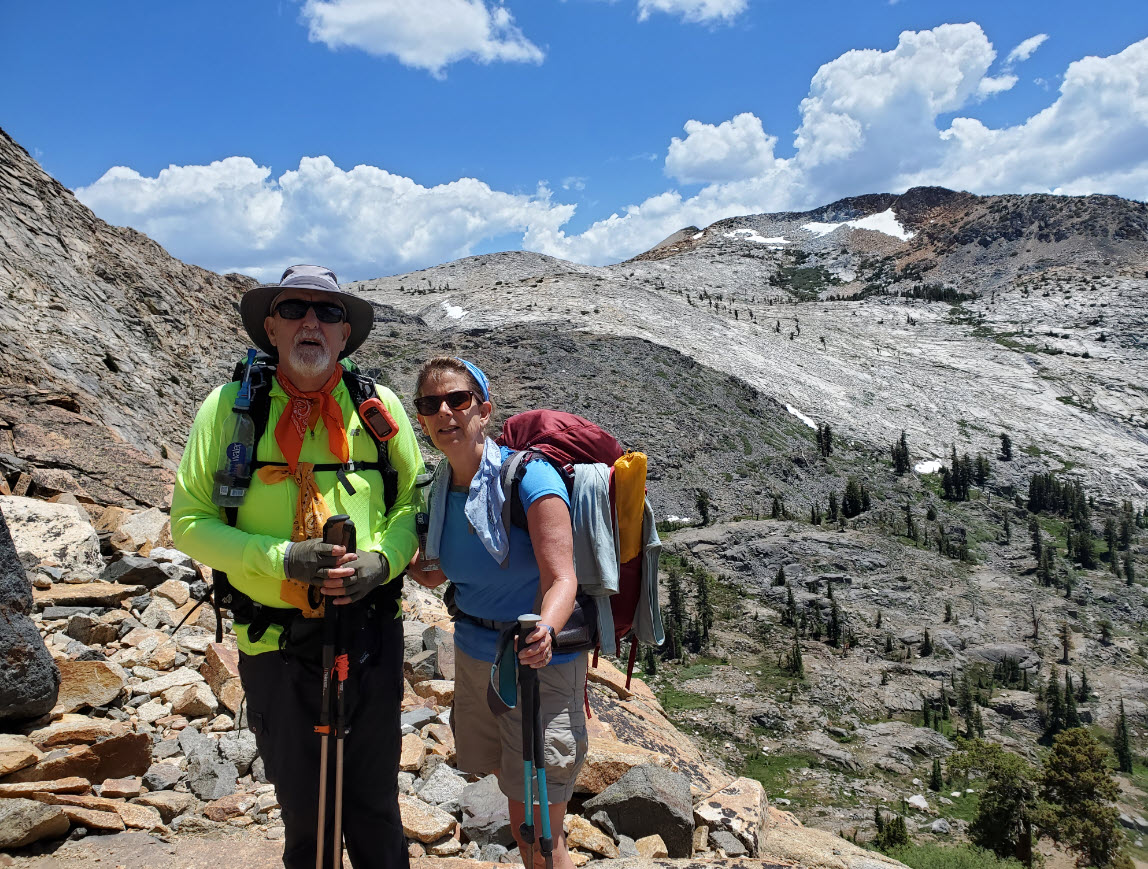
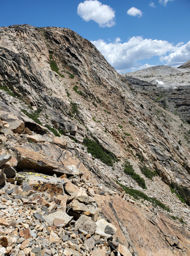
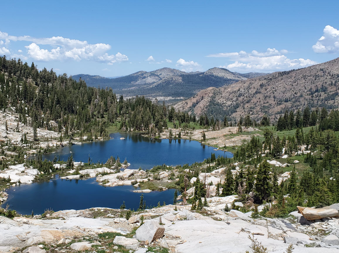
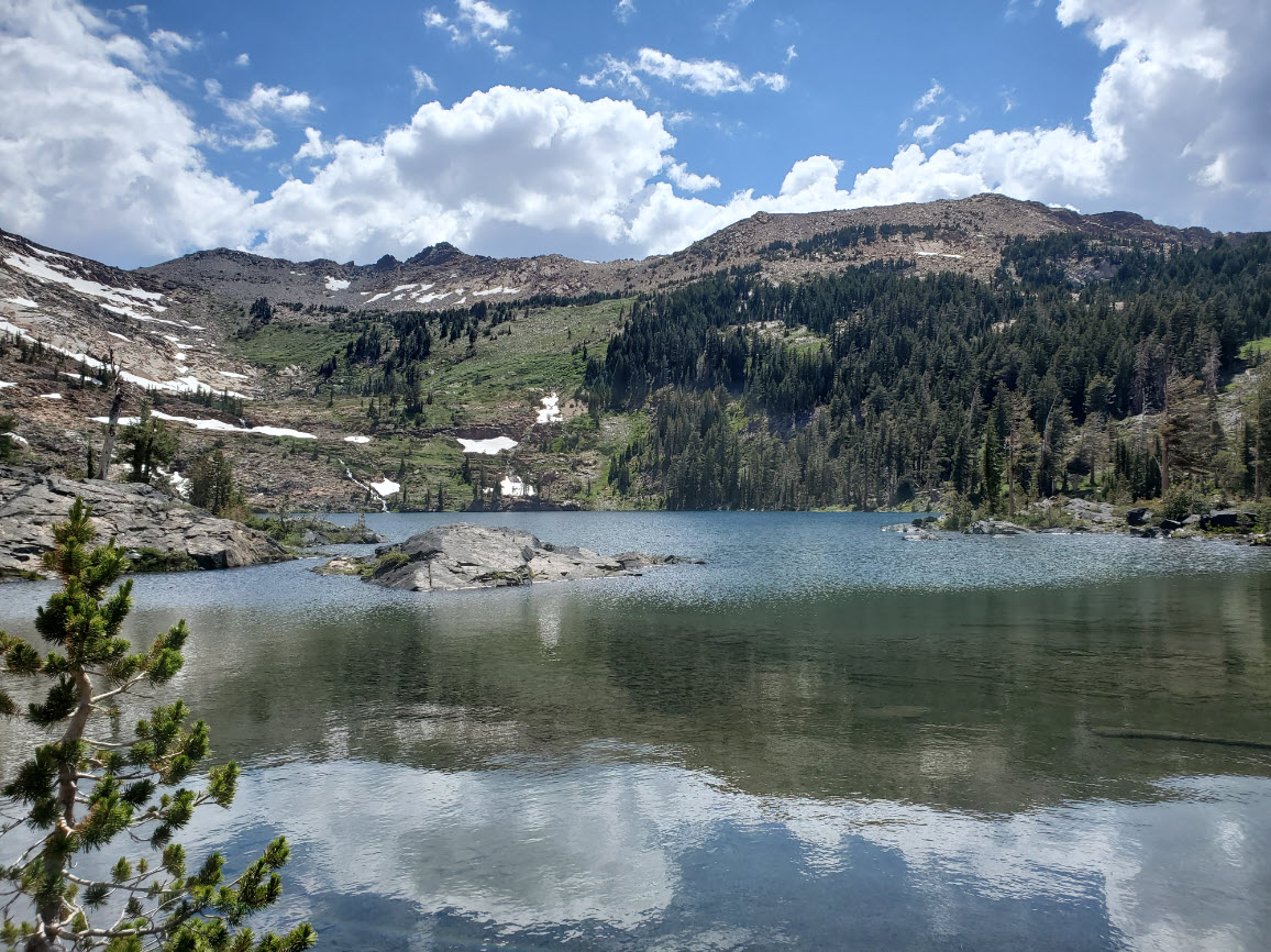
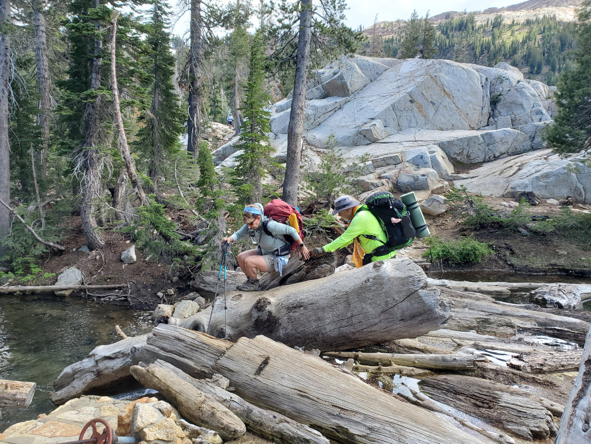
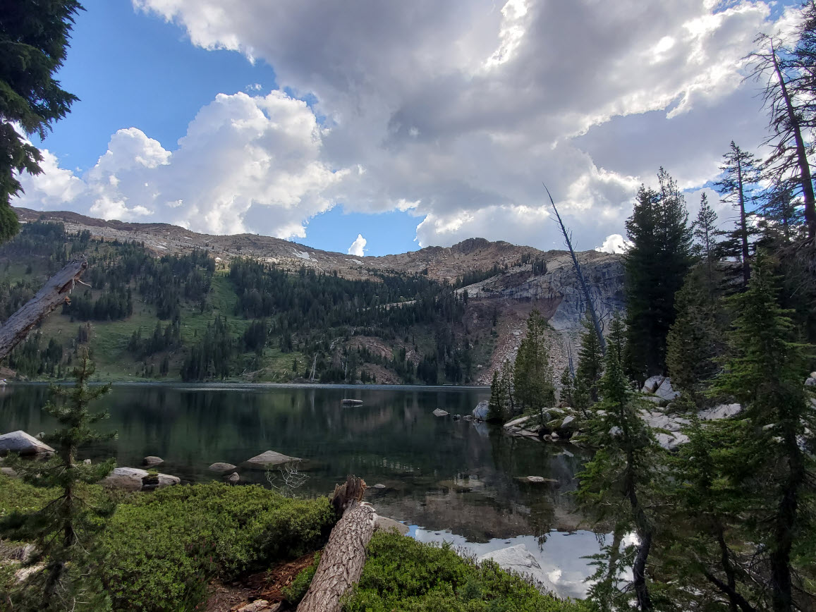
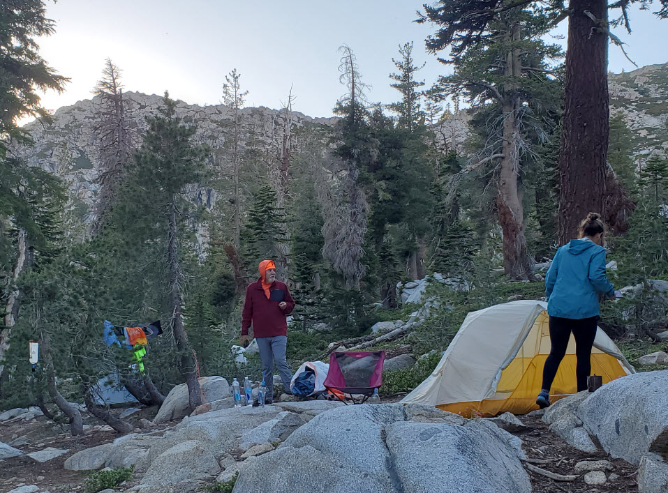
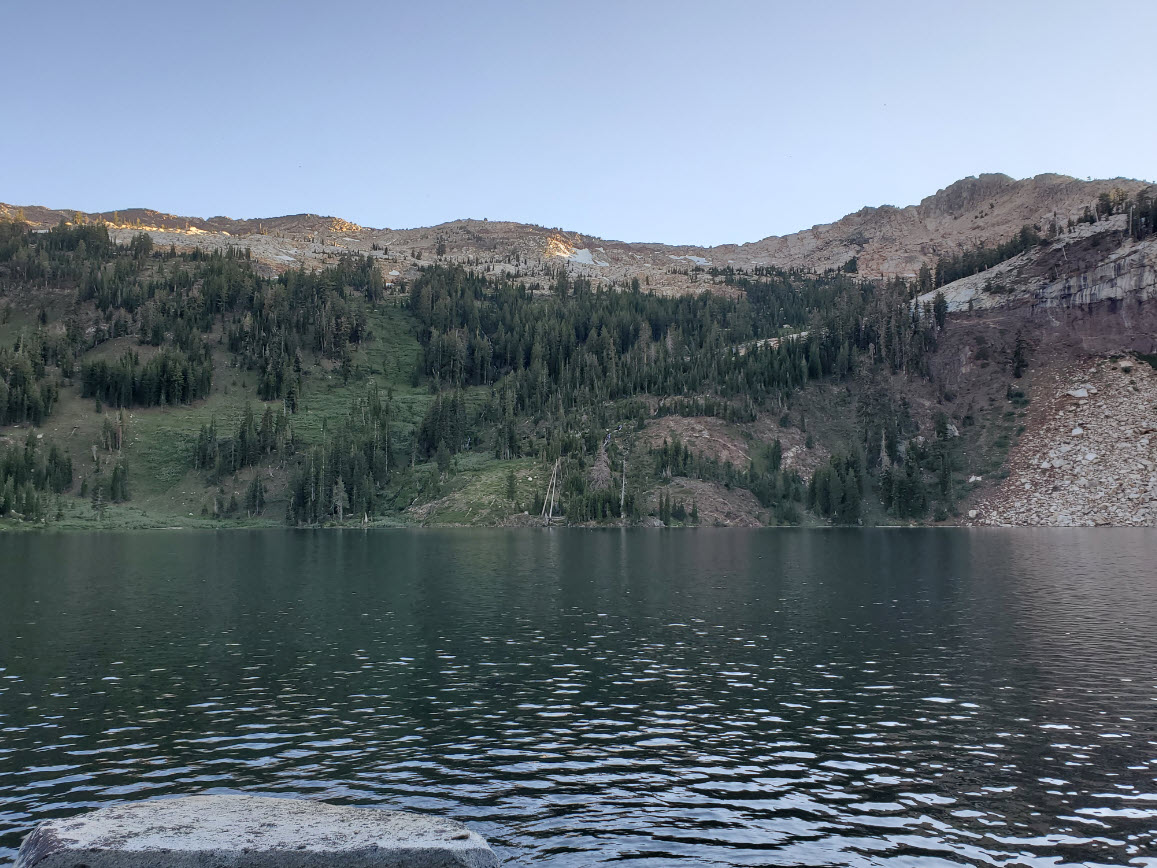
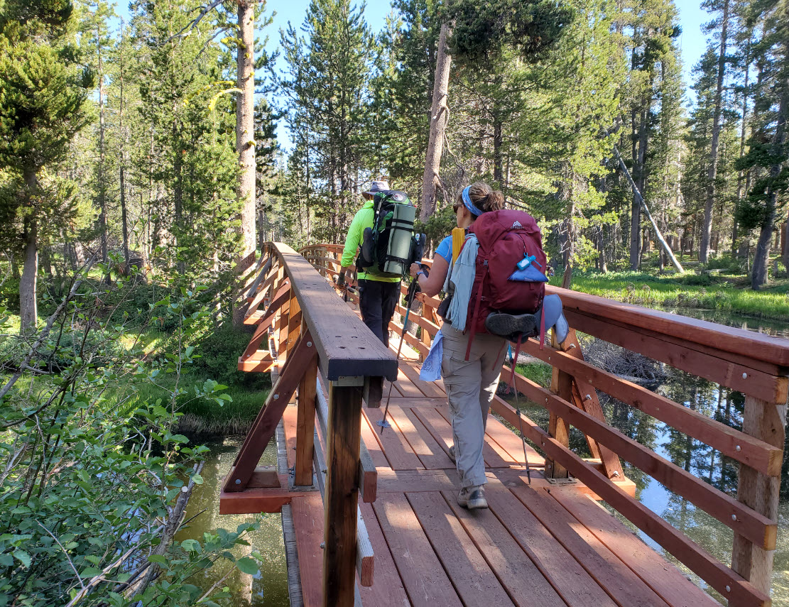
| General Notes: The first part of this hike crosses a small bridge right at the Desolation Wilderness permit kiosk near the parking area. Continue north on the Tyler Lake trail until you reach the intersection with the Rockbound trail, which converge for less than half a mile before they split off again. A half mile ahead is the junction for Tyler Lake, and you will head sharply to the left on the way up the Rockbound Trail. Within the next 1/2 mile is a creek crossing across the outlet stream from Maud Lake, and if it is flowing high you will have a cold crossing of nearly waist high water. Once you cross you will soon find yourself in a very open, granite-laden section of the trail, which will climb up to Maud Lake, about 4 miles into the hike. The east end of Maud Lake has a nice resting spot, and from this point on you will start to climb up the last 900' of elevation to the pass. Once at the pass, a short distance ahead you will be greeted with a great view toward Rockbound Valley and even the Velma Lakes beyond, as well as Doris Lake in the foreground. It is only about 1/4 mile from the pass, and is a very inviting destination. Dropping down to just south of Doris Lake, the trail will take a hard turn to the north, and you will reach a junction with a trail down into Rockbound Valley. Continue straight, and you will next pass Lake Lois, less than a mile from the evening's destination of Lake Schmidell. Past this lake you will soon see Schmidell in the distance, located in a granite bowl ahead of you. The trail drops down and hits a junction near the lake. Head to the right and find some camping sites along the rocks of the eastern shore, or continue on crossing the outlet dam for another few spots on this side of the lake. Since this is a hike into Desolation Wilderness, you will need an overnight wilderness permit which includes all members of the group. |
|||||