
|
Sayles
Canyon to Bryan Meadow Loop hike
|
|
Trip Date: 09/30/2014
Distance: 13.5 Miles
Vertical Gain:
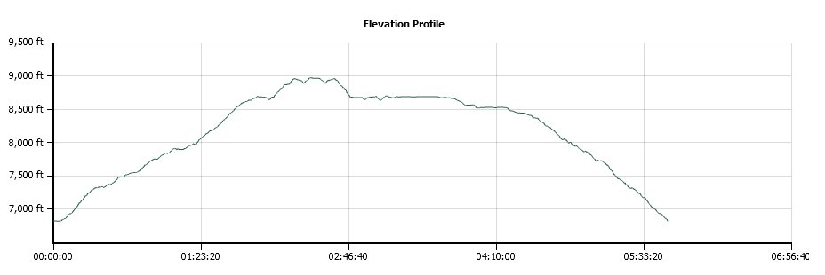
2200'
Group Size:
1
Hike Rating: Easy
Moderate
Hard
Strenuous |
 GPX for
this trip
|
|
|
Start Coordinates: |
N 38 47.573, W 120 06.361 |
|
End Coordinates: |
Same as Start Coordinates
|
| Car Shuttle
Req'd: |
No |
|
Parking
Directions: |
Take
Highway 50 to Tamarack Pines Road on the south side of the highway.
Follow this up to Sierra at Tahoe resort, and then turn right
at
the entrance to continue up to the parking coordinates. In
the
winter and early spring a gate for this road will be locked, adding
another 2 miles to the hiking distance. |
| Hazards of
Note: |
None. |
|
Crowd Factor: |
Negligible.
Your chances of running into another party on this trail is
very slim, except for the section that is along the Pacific Crest Trail
for about a mile. |
General Notes:
From the parking area, head up the Sayles Canyon trail, which will
start picking up elevation immediately. Great views of
Pyramid
Peak and some of the Desolation Wilderness are not to be missed behind
you as you start up the canyon trail. Most of the rest of
the time you will be in pleasant forest, with limited views of anything
in the distance other than along the PCT and a couple of spots near
where each of these loop trails near their highest points. A
couple of miles in you
will come to a junction with the Bryan Meadow trail, and head to the
right (toward Round Meadow) for this part of the loop. About
1/2 mile past the meadow the Sayles Canyon trail finally ends when it
intersects with the Pacific Crest Trail, at almost 9000 feet in
elevation. Turn left (north) on the PCT and continue about a
mile until you see the marker for the Bryan Meadows trail to your left.
A little over 4 miles and you will be back at the trail
junction with Sayles Canyon, and then a mile back to the parking
area. |
|
|
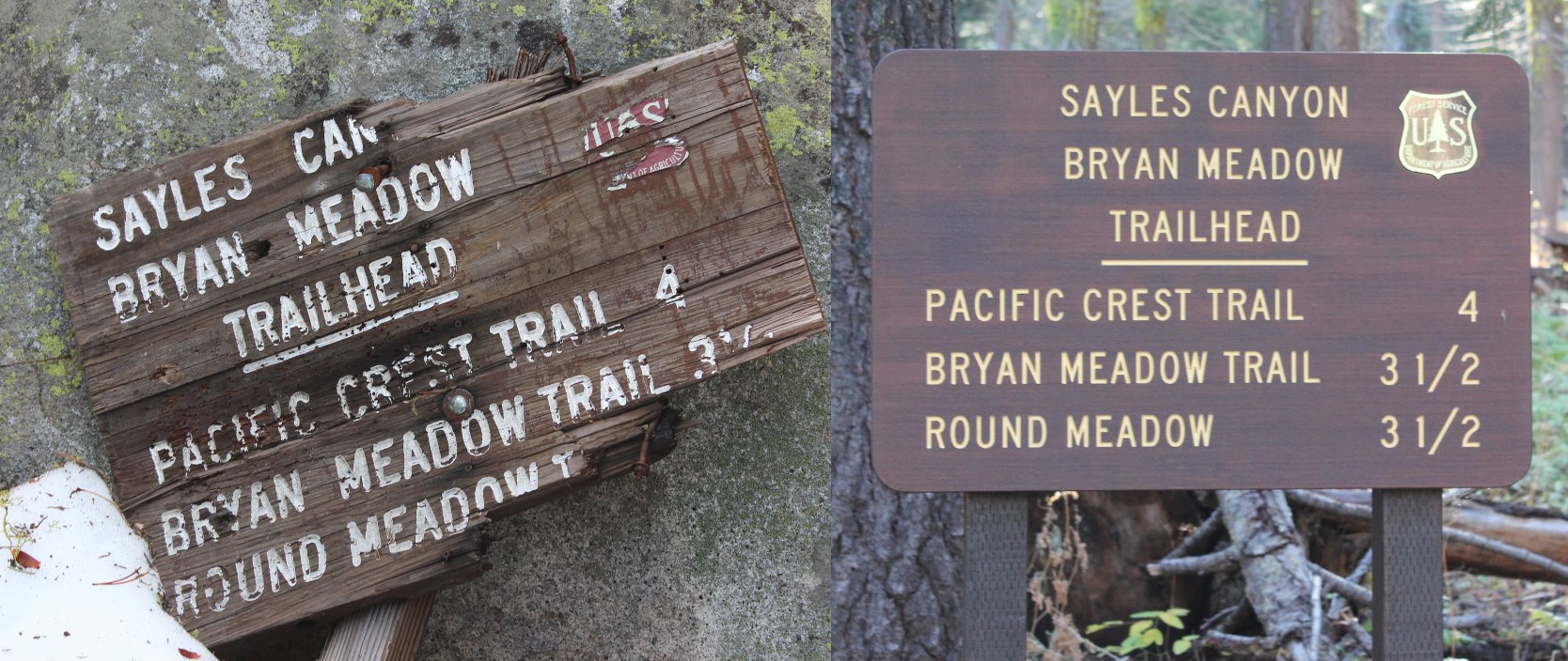
Signs at the trailhead showing
the old and new versions. |

 |
|
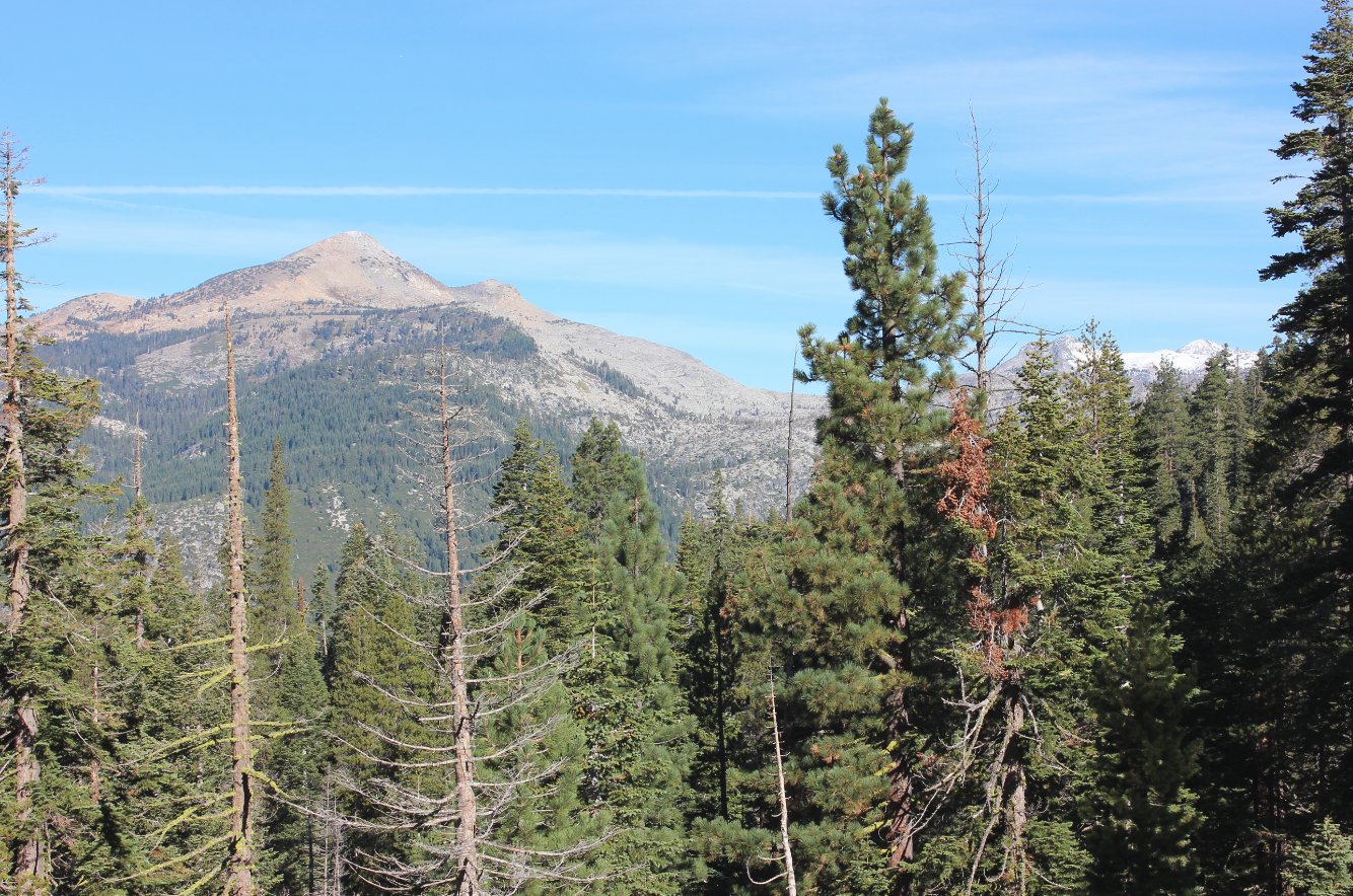
A nice glimpse of Pyramid Peak
behind you along the trail with the snow-capped Jacks and Dicks peaks
in the distance beyond. |
 |
|
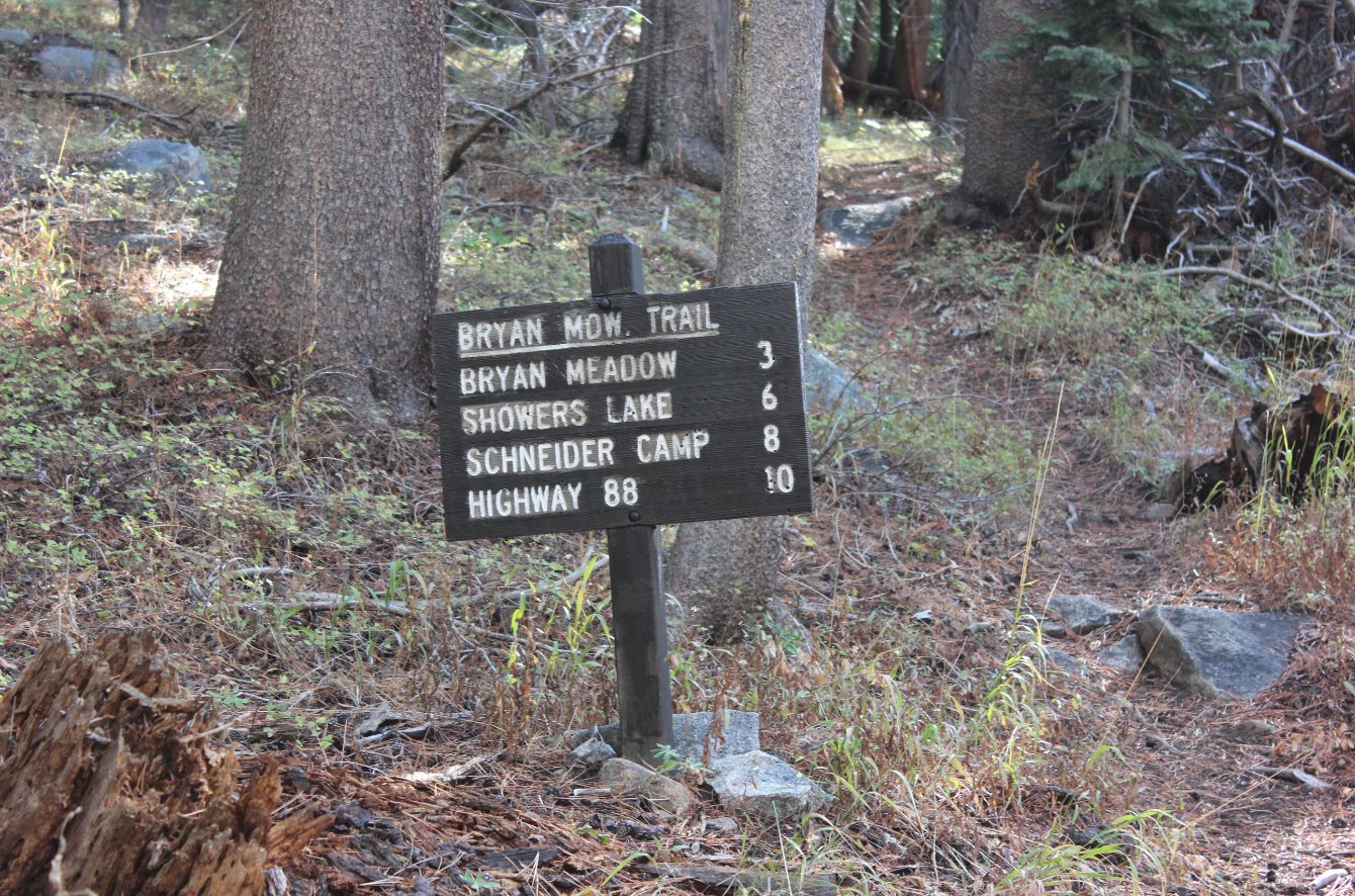
About a
mile in is the intersection with the two trails that make up the loop
for this trip. This is showing the distances for the one I
came
back on this day. |
 |
|
Along the
top of this ridge on the SW side of the trail is the path that John C.
Fremont took in his crazy quest to cross the Sierras in the wintertime. |
 |
|
Once the
elevation along the trail got to above 8500', the snow got more and
more profuse from the early fall snowstorm that hit over the past
weekend. |
 |
|
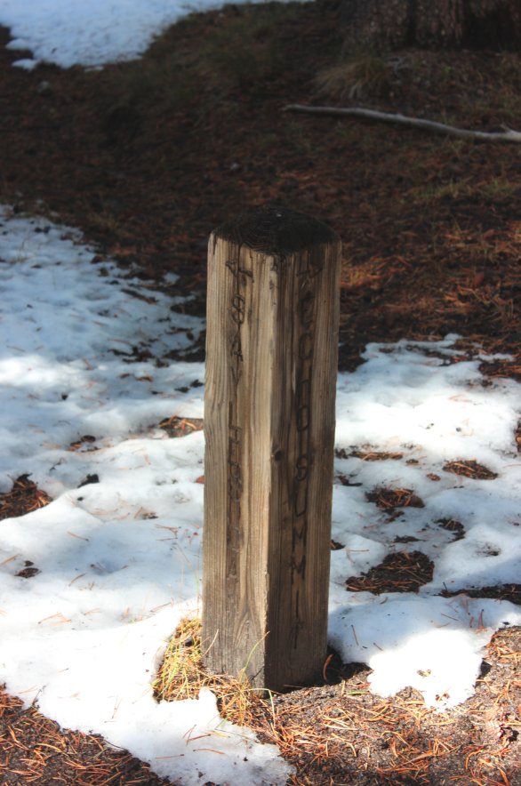
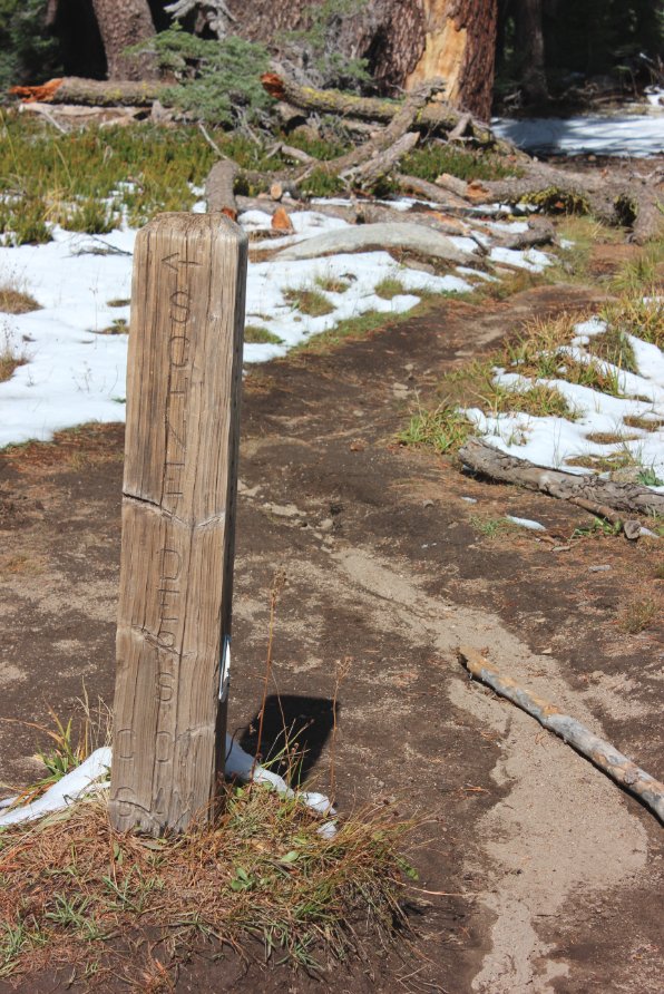
A couple
of signposts along the Pacific Crest Trail section gave good
indications of where you were at on the hike. Extended this
day a
couple miles just to fill in some trail I hadn't been on previously. |
 |
|
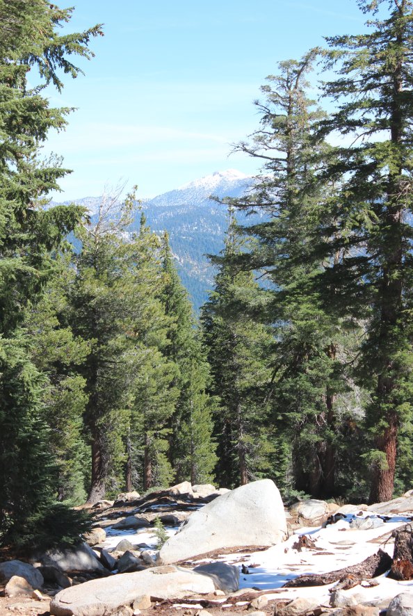
At one
point on the PCT the trees opened up just enough to catch a glimpse of
the top of Freel Peak dusted with snow this early in the fall.
|
 |
|
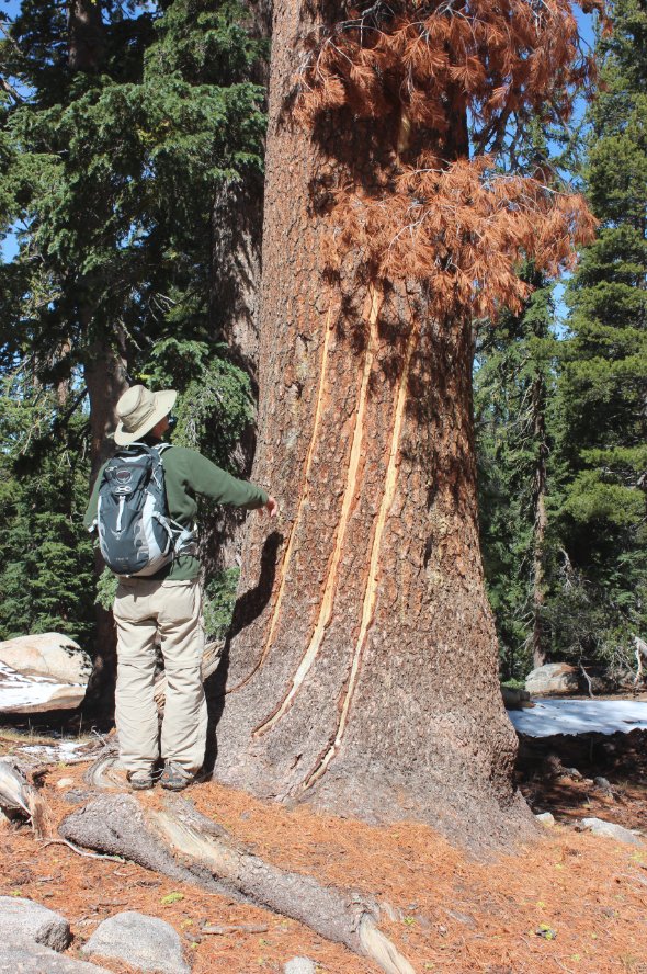
A hiker I
met on the PCT examines some odd streaks on a tree just off the trail.
Too big to be bear scratches, and the suggestion of lightning
strike exit marks came up. |
 |
|
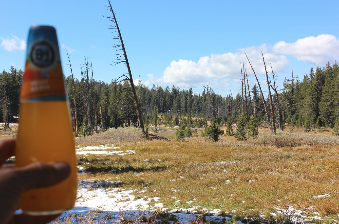
I stopped
at the junction of the PCT and the Bryan Meadow trail to offer a toast
to my late father as I do on every hike. Once again I was
able to
immerse myself wandering through an area he would have loved. |
 |
|
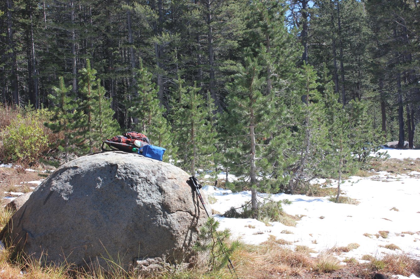
There were a few ants around,
but I was still able to enjoy my lunch on this spot at the trail
junction.
|
 |
|
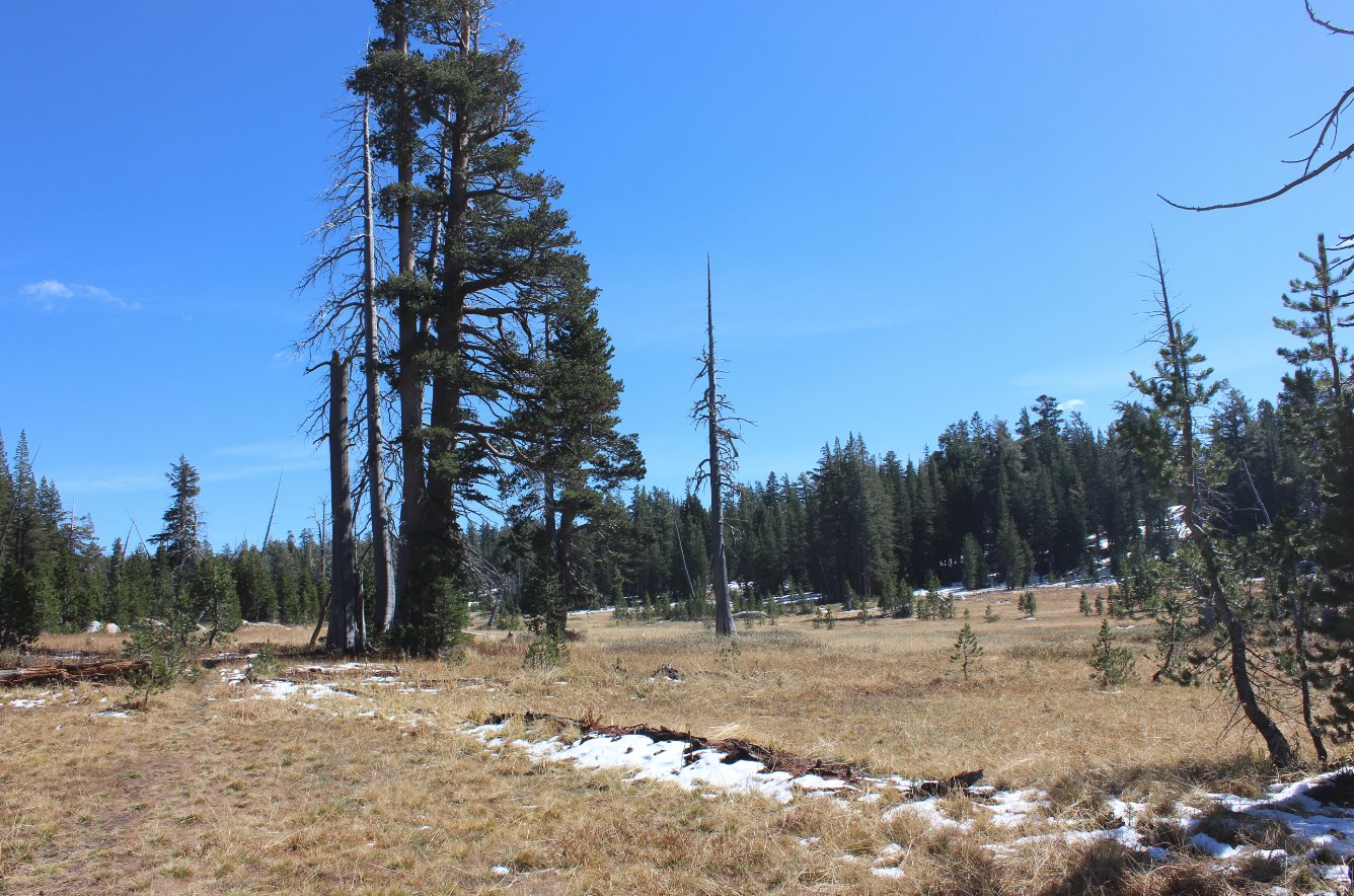
A look back at Bryan Meadows
after having passed all the way through it. |
 |
|
Looks like we don't have to
worry about this tree coming down anytime soon...! |
 |
|
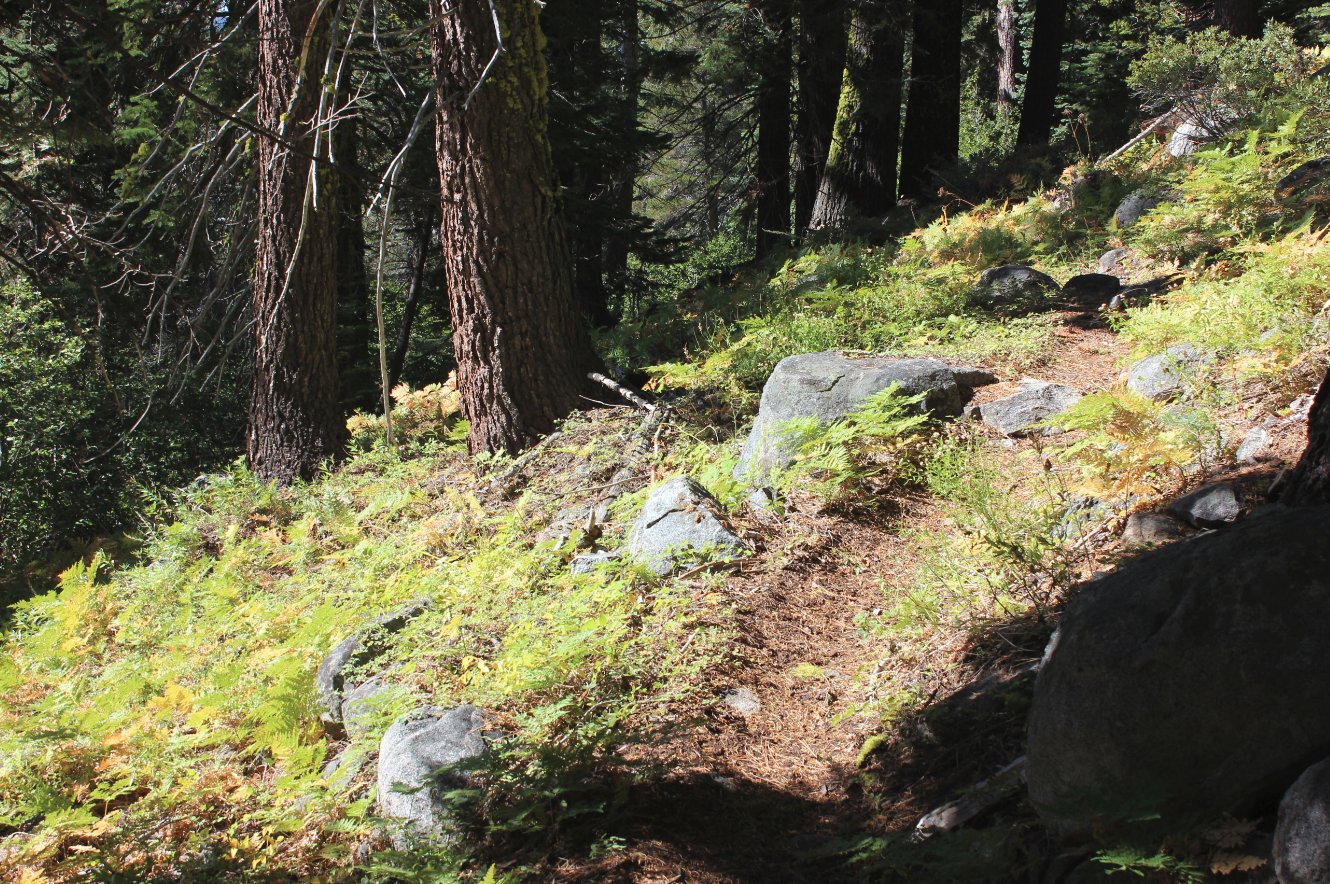
There were spots along the
trail that for late September were surprisingly covered with green. |
 |
|
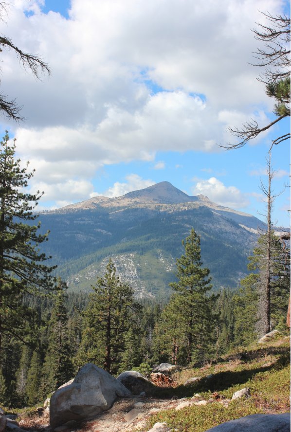
Some nice colors up Rocky
Creek Canyon toward Pyramid Peak in the afternoon. |
 |
|
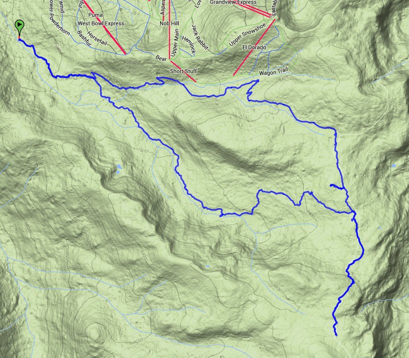
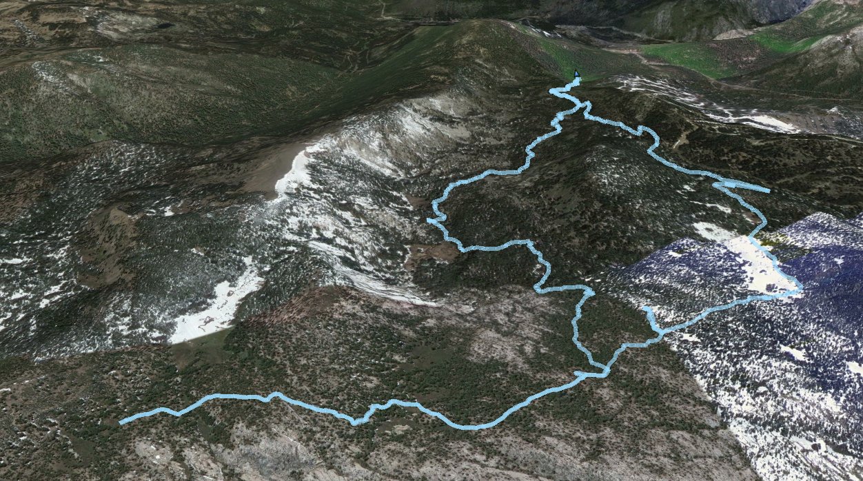
GPS Track of the full hike. |
 |


 GPX for
this trip


