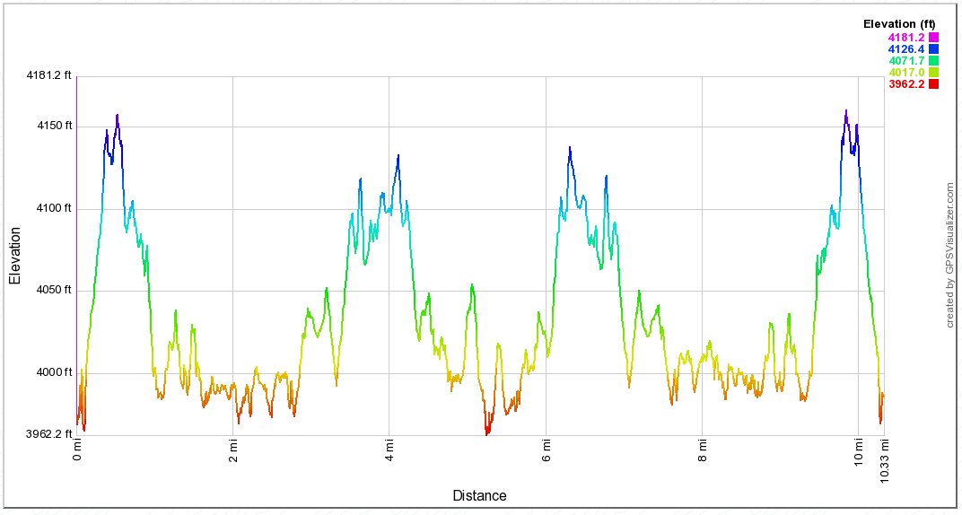
Distance: 10.3 Miles
Vertical Gain: 2100'
Group Size: 2
Hike Rating: Easy Moderate Hard Strenuous
 GPX for
this trip
GPX for
this trip
| Start Coordinates: | N 38 29.919, W 120 13.055 | End Coordinates: | Same as Start Coordinates | ||
| Car Shuttle Req'd: | No | Parking Directions: | Take Highway 88 to Ellis Rd in Amador County. Head south until you see the signs for Salt Springs Reservoir. It is a long drive of nearly an hour from Highway 88 to the parking area. | ||
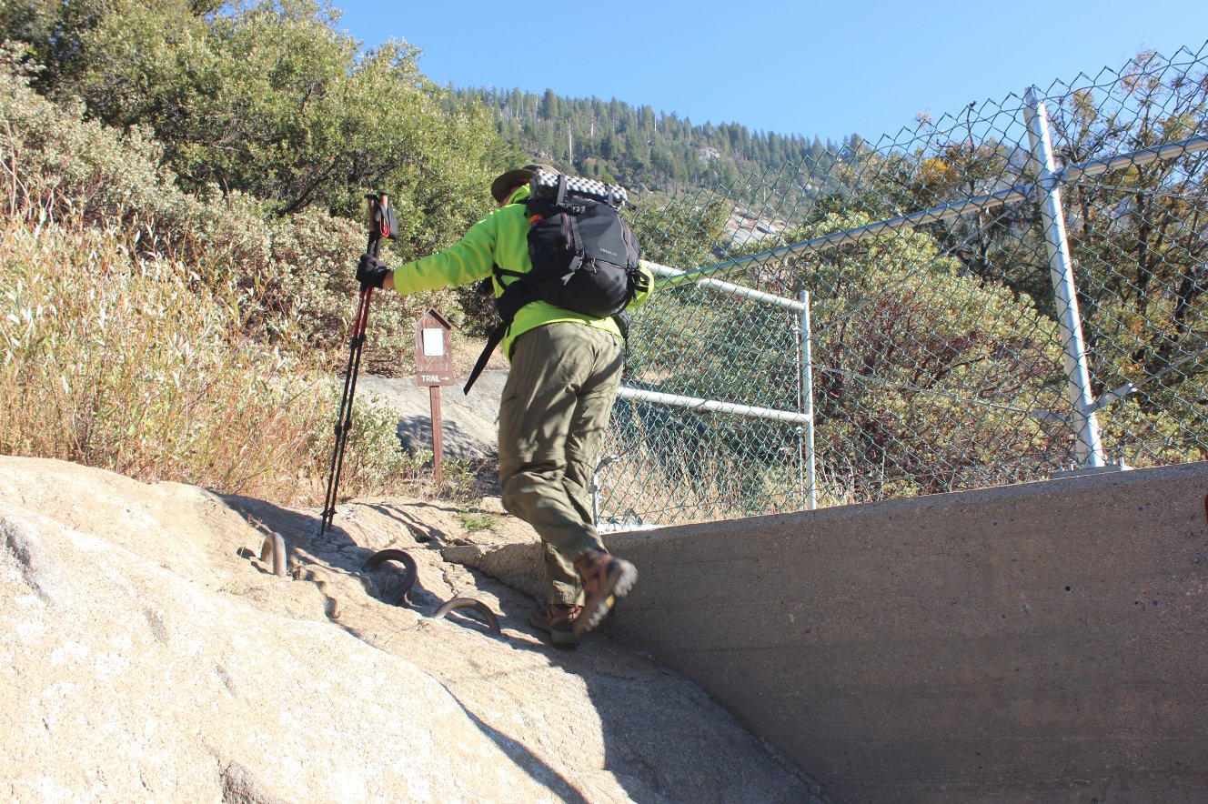
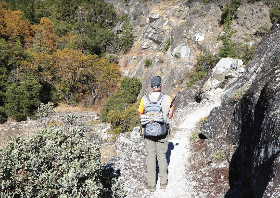
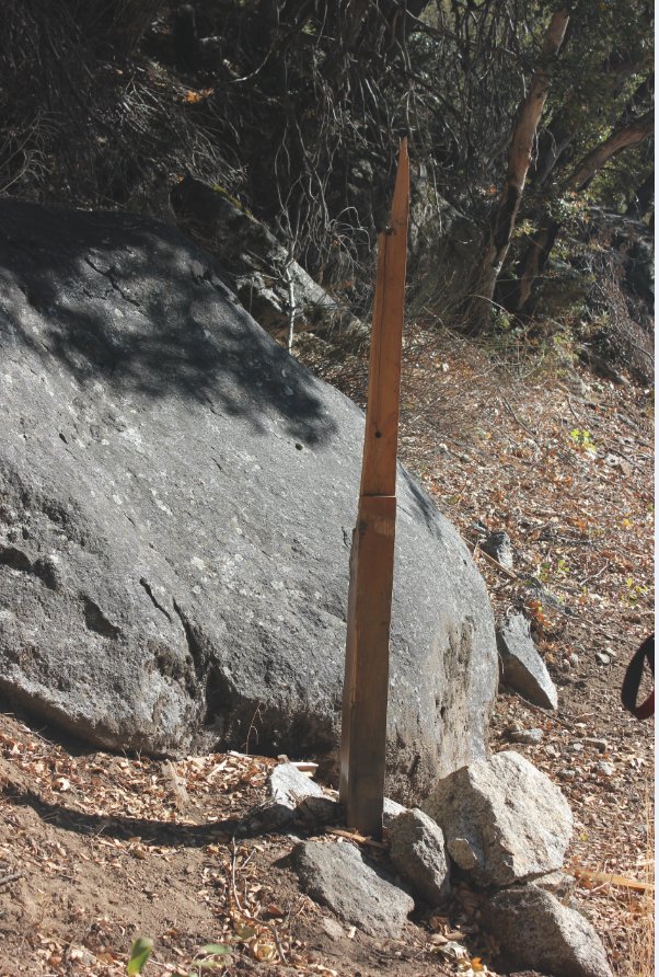
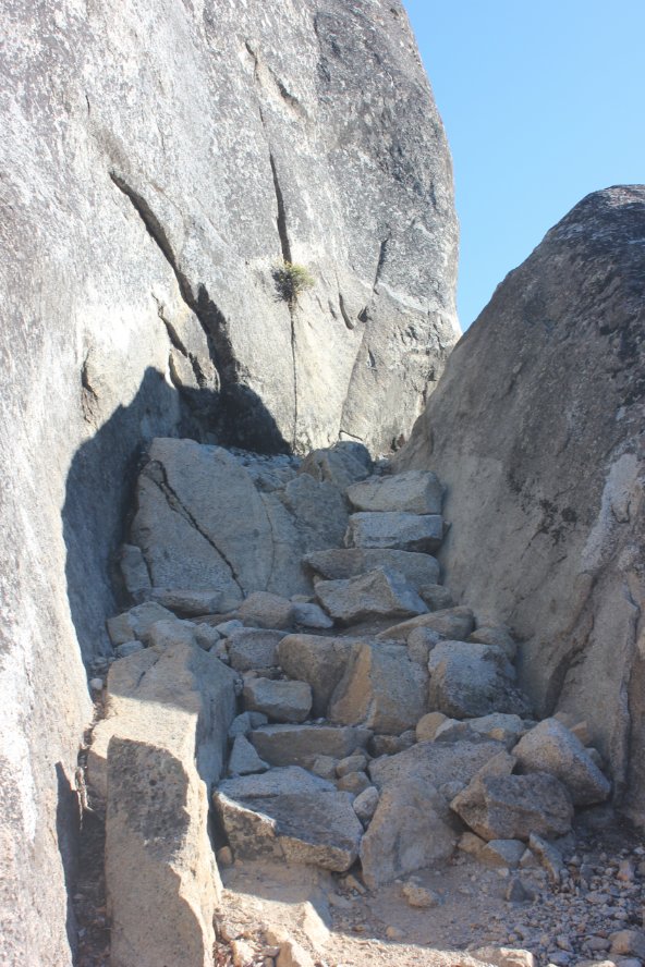
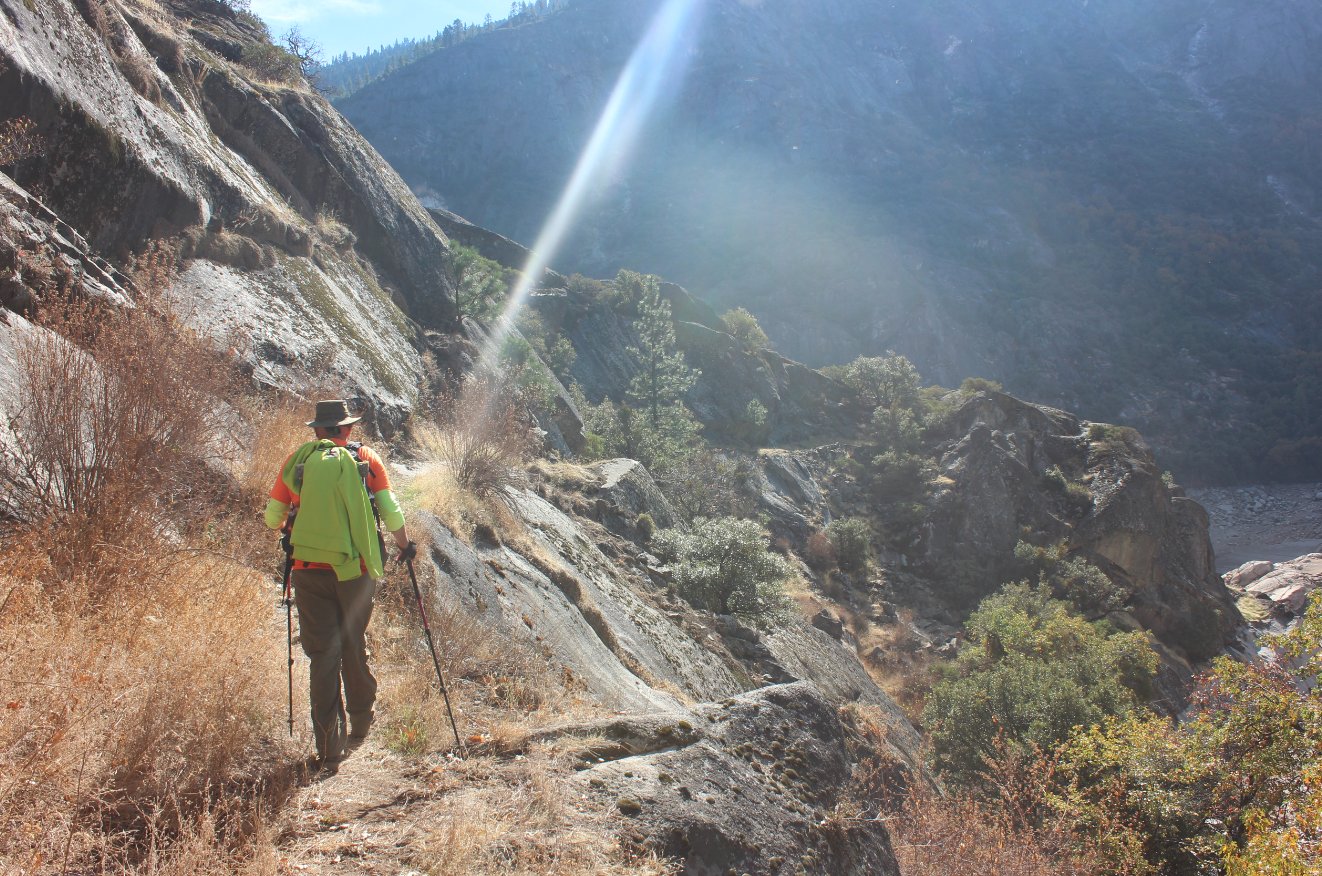
| Hazards of Note: | Rocky trail on sections of
this trek. Getting to the trail from the trailhead requires a
scramble up part of the cement near the north side of the dam.
Frequently extremely windy in the afternoon blowing in from
the east. Rattlesnakes are frequently seen at the lower
elevation of the Mokelumne Wilderness. |
Crowd Factor: | Light. This is a long distance from any other trailhead and the destinations are somewhat limited for going far into the Mokelumne Wilderness. | ||
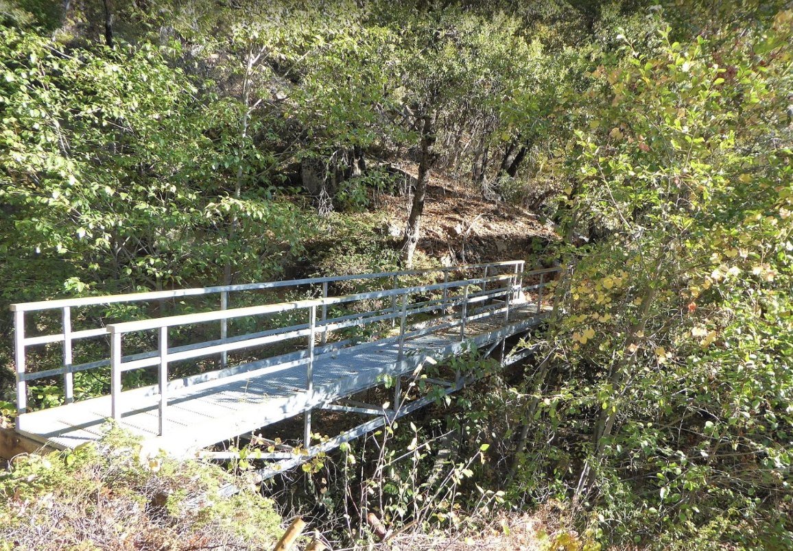
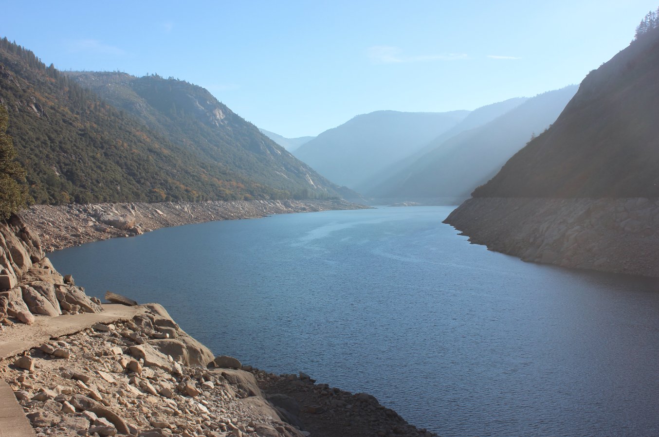
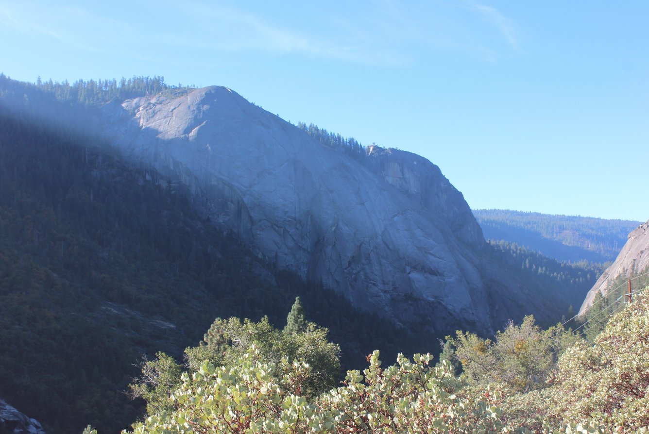
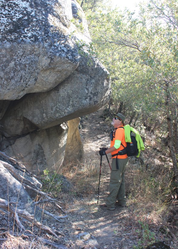
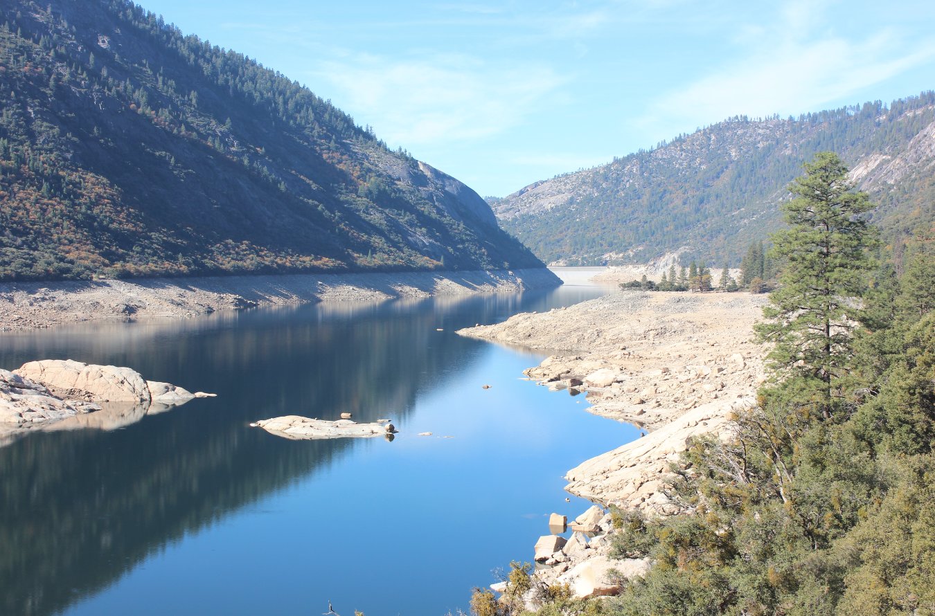
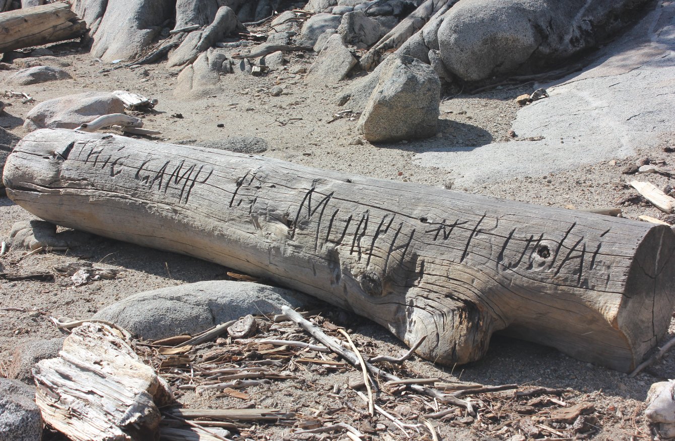
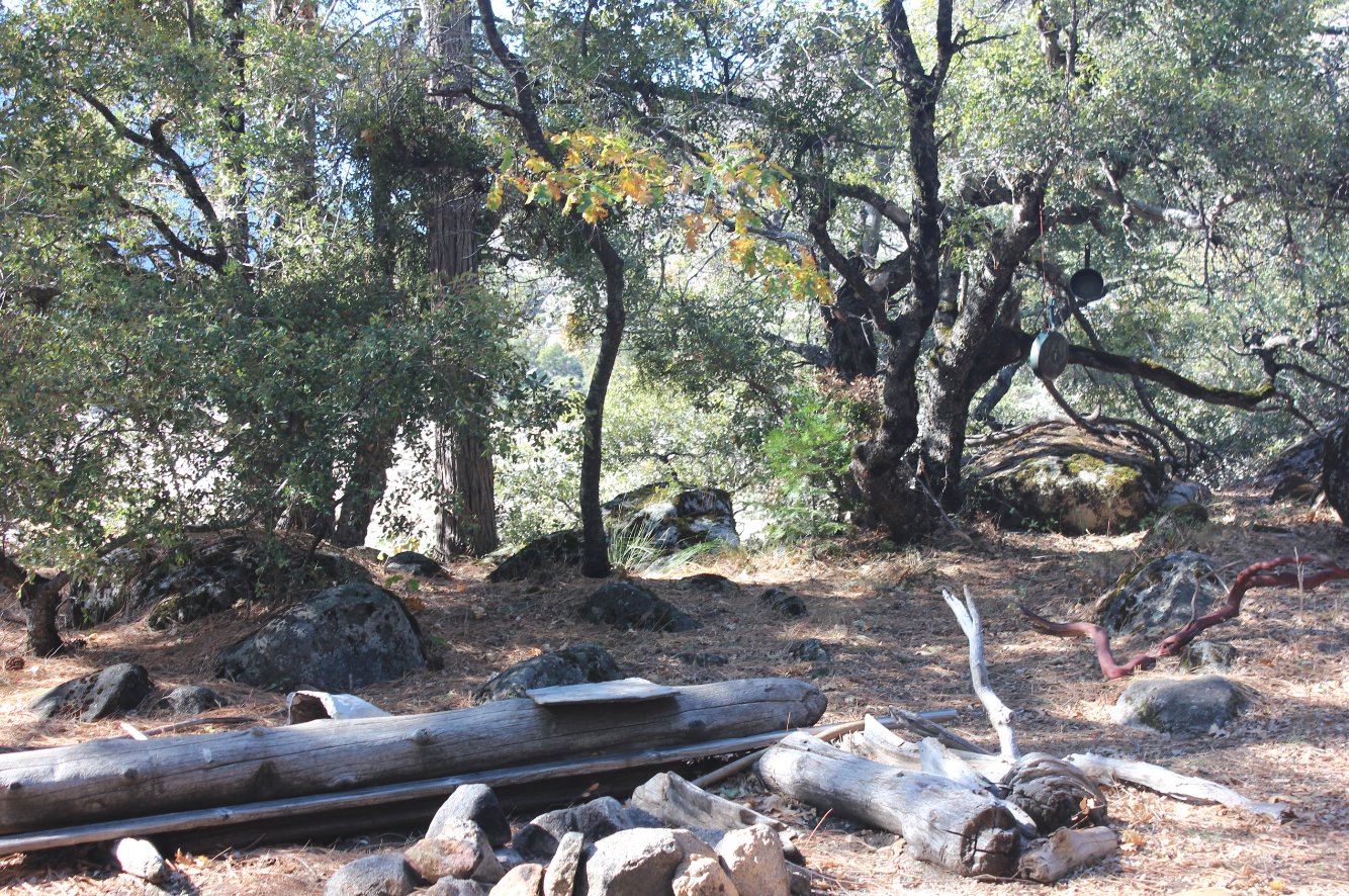
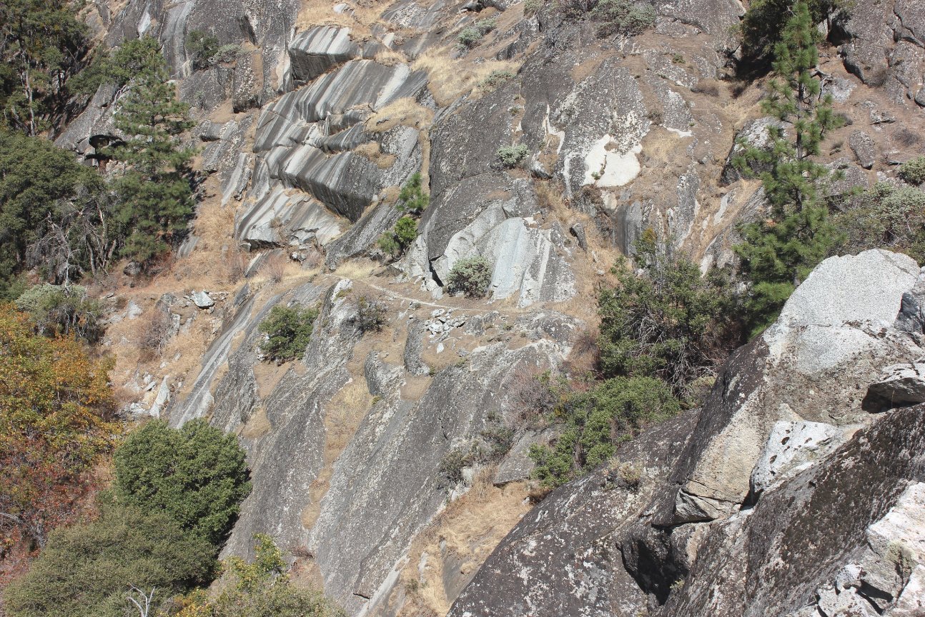
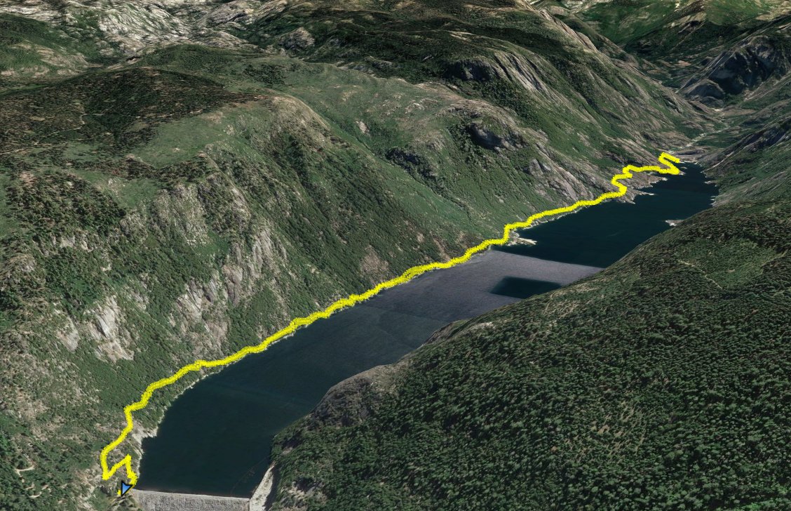
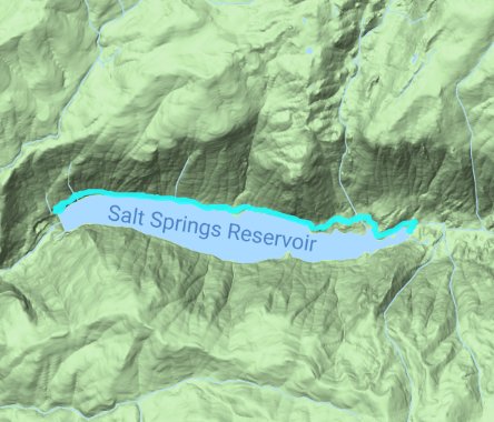
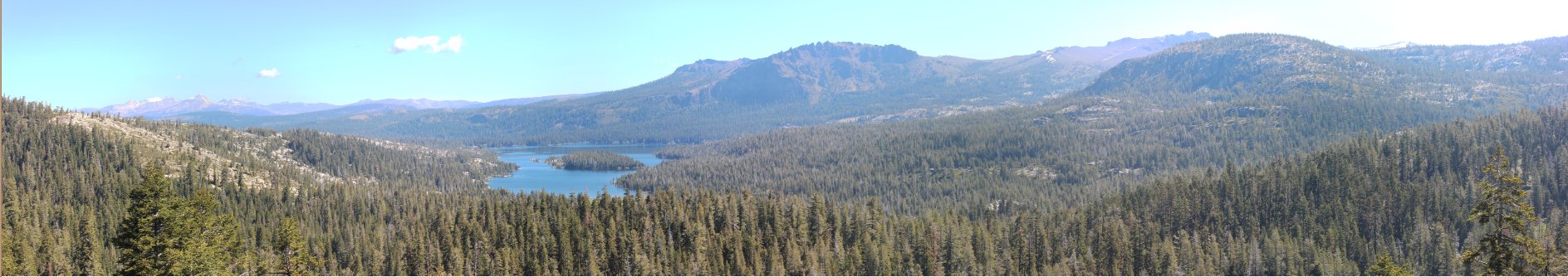
| General Notes: From the parking area you will need to find the trail by scrambling up the cement near the north edge of the dam, or head down the access road on the east side of the dam and look for a good use trail up to the main trail from there. The trail stays fairly close to the north side of the reservoir for most of the journey, occasionally diving into the forest before emerging again with continual view up the lake. As you follow the trail you can look back at great views of the Calaveras Dome granite to the south and west, towering above that side of the lake. Near the end of the lake are a number of makeshift campsites, which have pleasant views back down the reservoir and the way you came in. In general, for a fairly out of the way trail, this one is well constructed and part of the CCC work crew efforts in the 1930s. They did quality work whereever they went. |
|||||