|
|
Salmon
Falls East Hike
|
|
Trip Date: 03/02/2013
Distance: 6.0 Miles
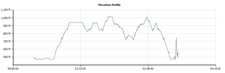
Vertical Gain:
600'
Group Size:
1
Hike Rating:
Easy
Moderate
Hard
Strenuous |
 GPX for
this trip
GPX for
this trip
|
|
 |
|
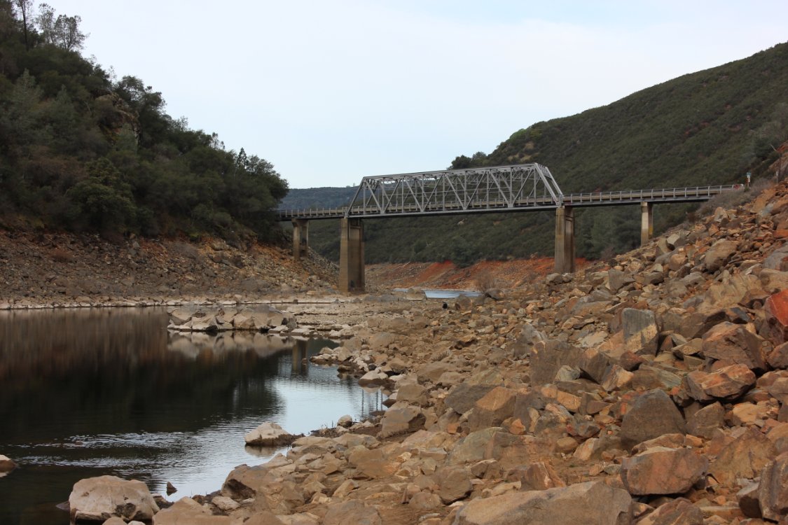
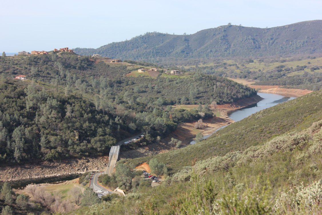
Salmon Falls bridge from near
the trailhead. |
 |
|
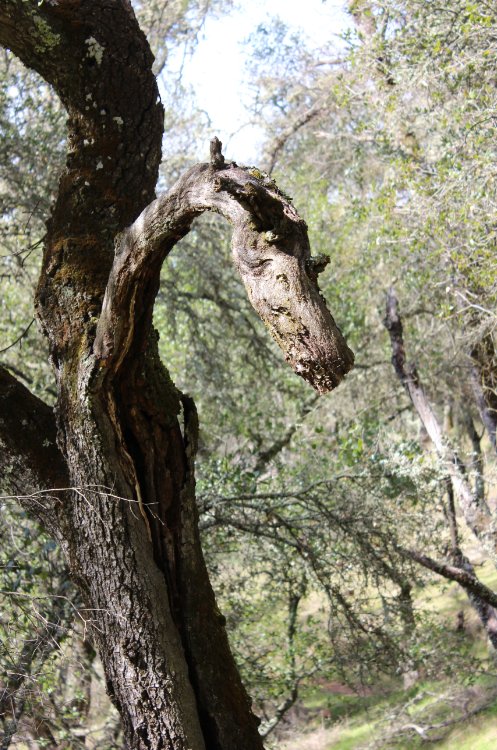
Dragon tree found along the
hike.
|
 |
|
The clue that I had for
finding a cache at this site. |
 |
|
Looking down at the Salmon
Falls Bridge from above. |
 |
|
Marker for the trail, known
affectionately as SFART.
|
 |
|
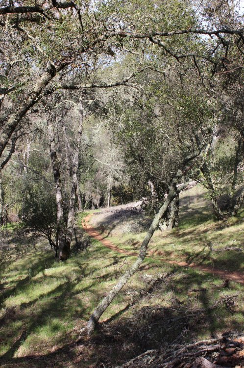
Some true peacefulness along
the trail.
|
 |
|
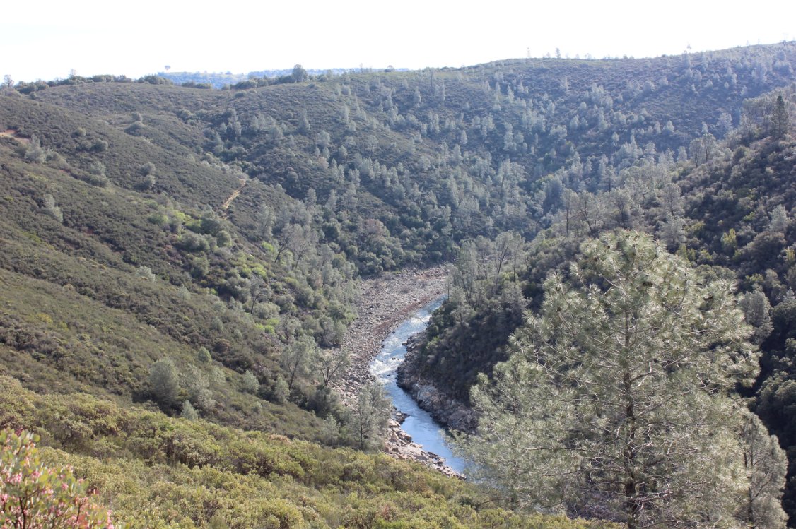
Looking at the South Fork
American River from high above.
|
 |
|
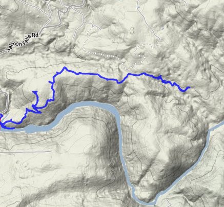
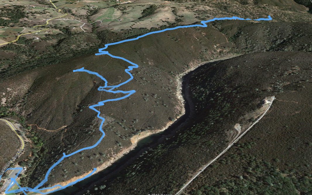
GPS Track of the full hike. |
 |