|
|
Ruck-a-Chucky
Trail Hike
|
|
Trip Date: 04/28/2014
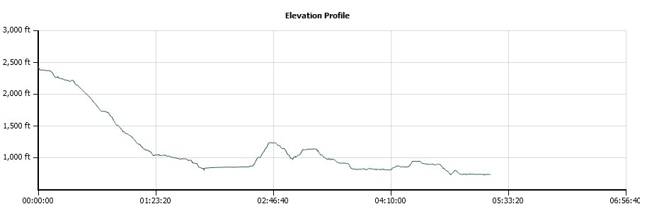
Distance: 9.5 Miles
Vertical Gain:
1700'
Group Size:
13
Hike Rating: Easy
Moderate
Hard
Strenuous |

 GPX for
this trip
GPX for
this trip
|
|
 |
|
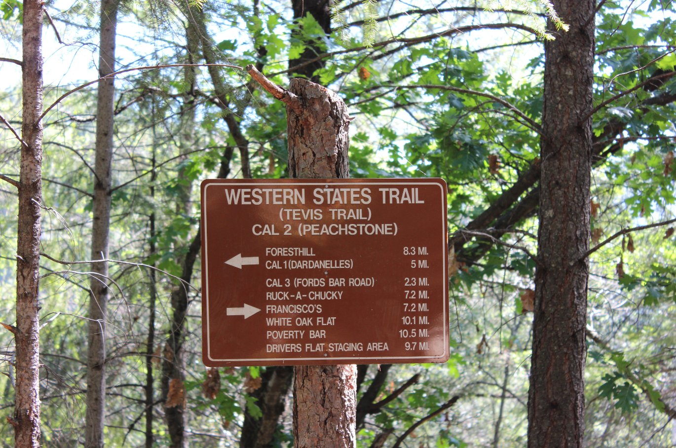
Western States trailhead
marker at the start of our hike. |
 |
|
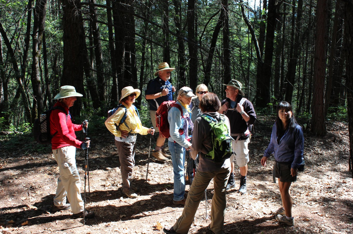
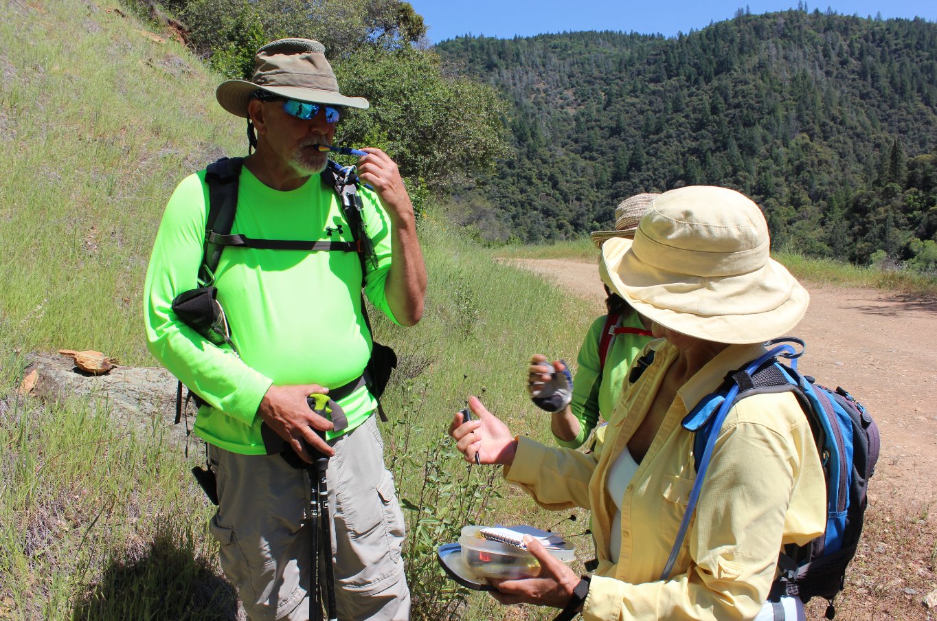
The group anxious to get
started on the trek. |
 |
|
The first part is a pretty
constant slope down toward the river. |
 |
|
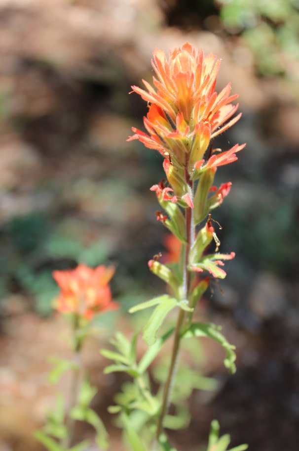
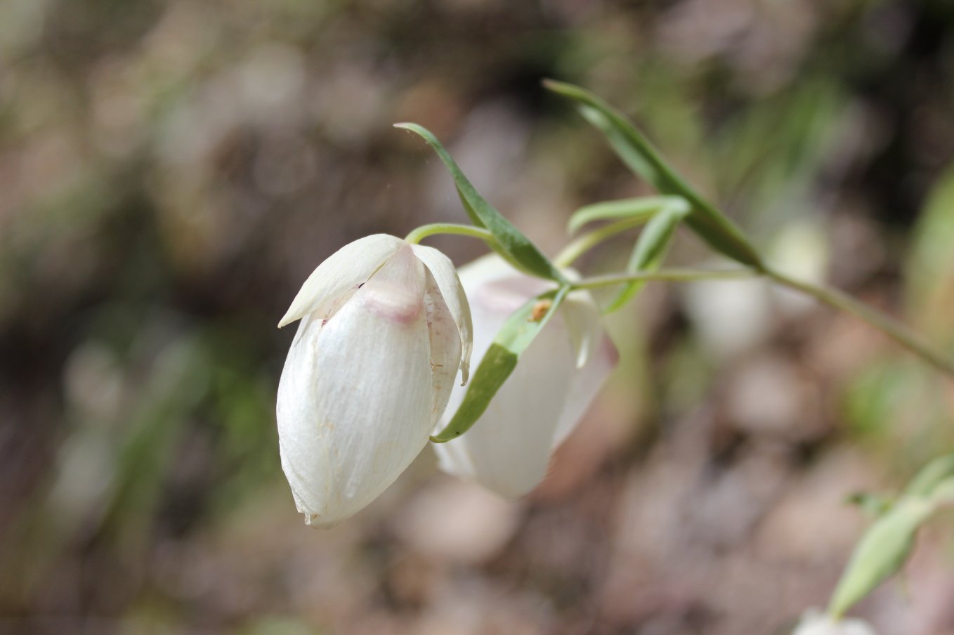
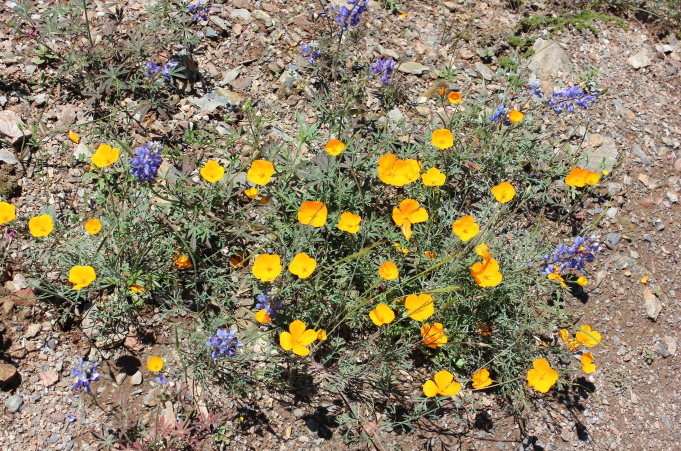
Some of the vast array of
wildflowers we spotted all along the trek. |
 |
|
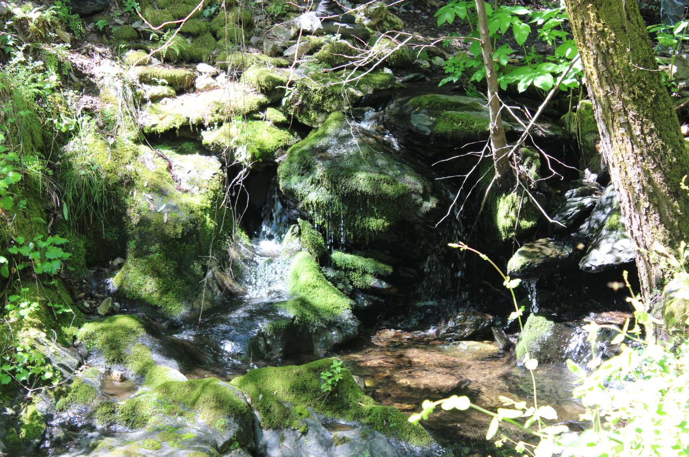
An unexpectedly pleasant shady
waterfall location at one bend of the trail. |
 |
|
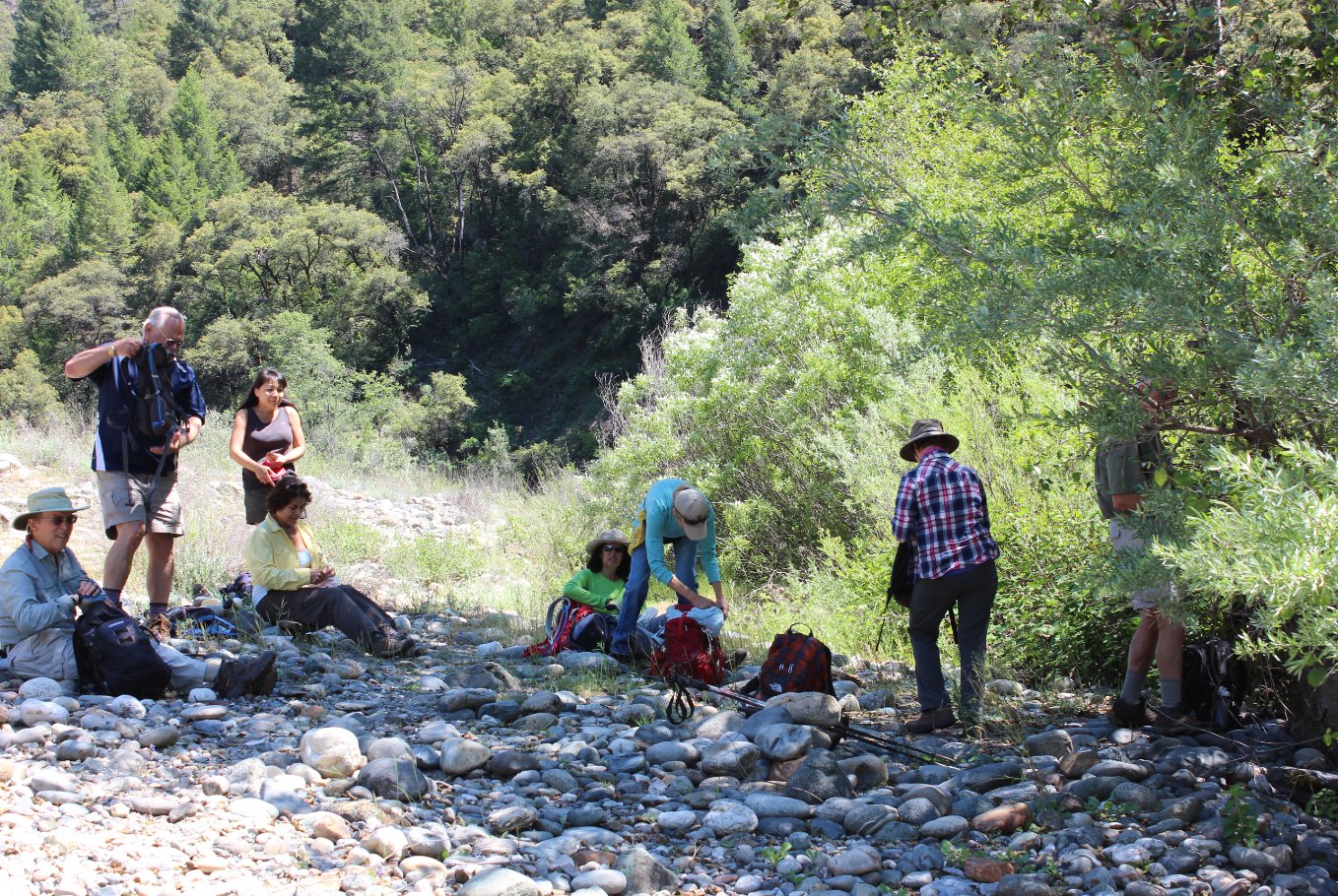
A perfect
place by the river to stop for lunch. Even found there was a
fully-stocked composting toilet and building about 500 feet away,
probably put in place for rafter and boating use. |
 |
|
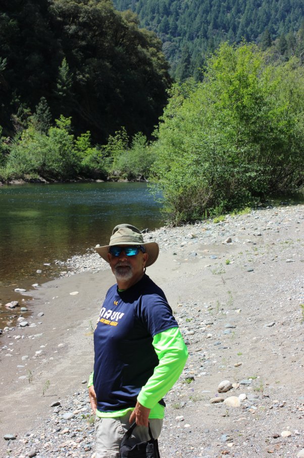
Mark taking some time after
lunch to enjoy the Middle Fork of the American River.
|
 |
|
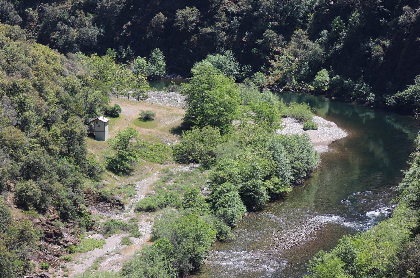
Looking down on the pleasant
spot we found for lunch, just under the biggest trees along the shore
near the top of the picture. |
 |
|
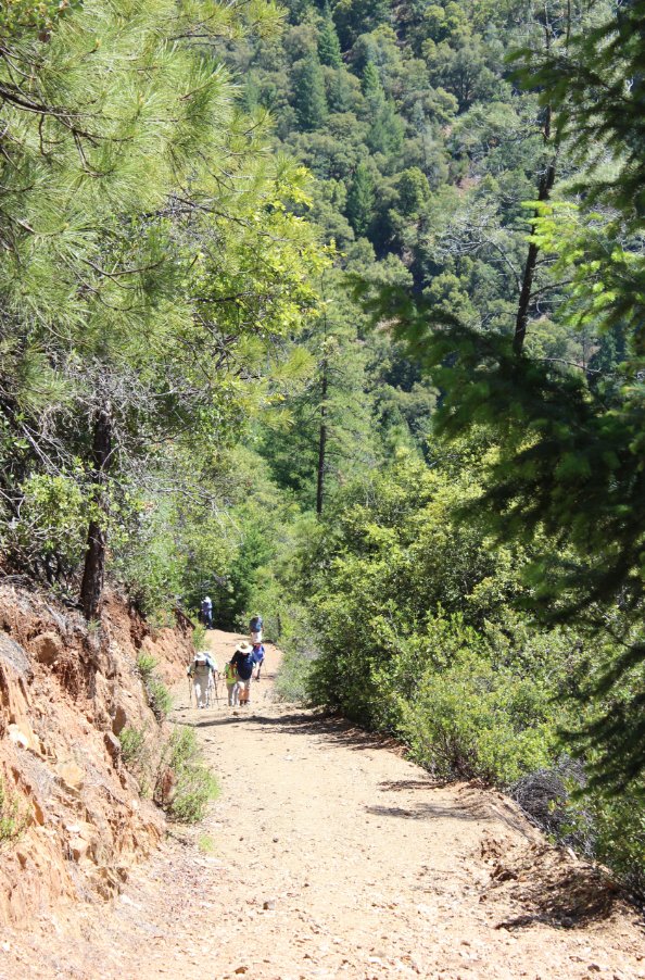
Although we had a great lunch
spot, the climb up the trail immediately afterward was a bit of a bear. |
 |
|
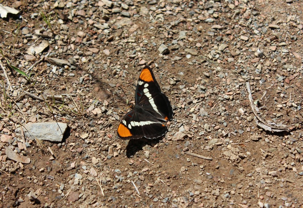
Monarchs
were out everywhere, and often we had to watch our step. Did
discover, however, that they are drawn in swarms to fresh horse
droppings. Ick.
|
 |
|
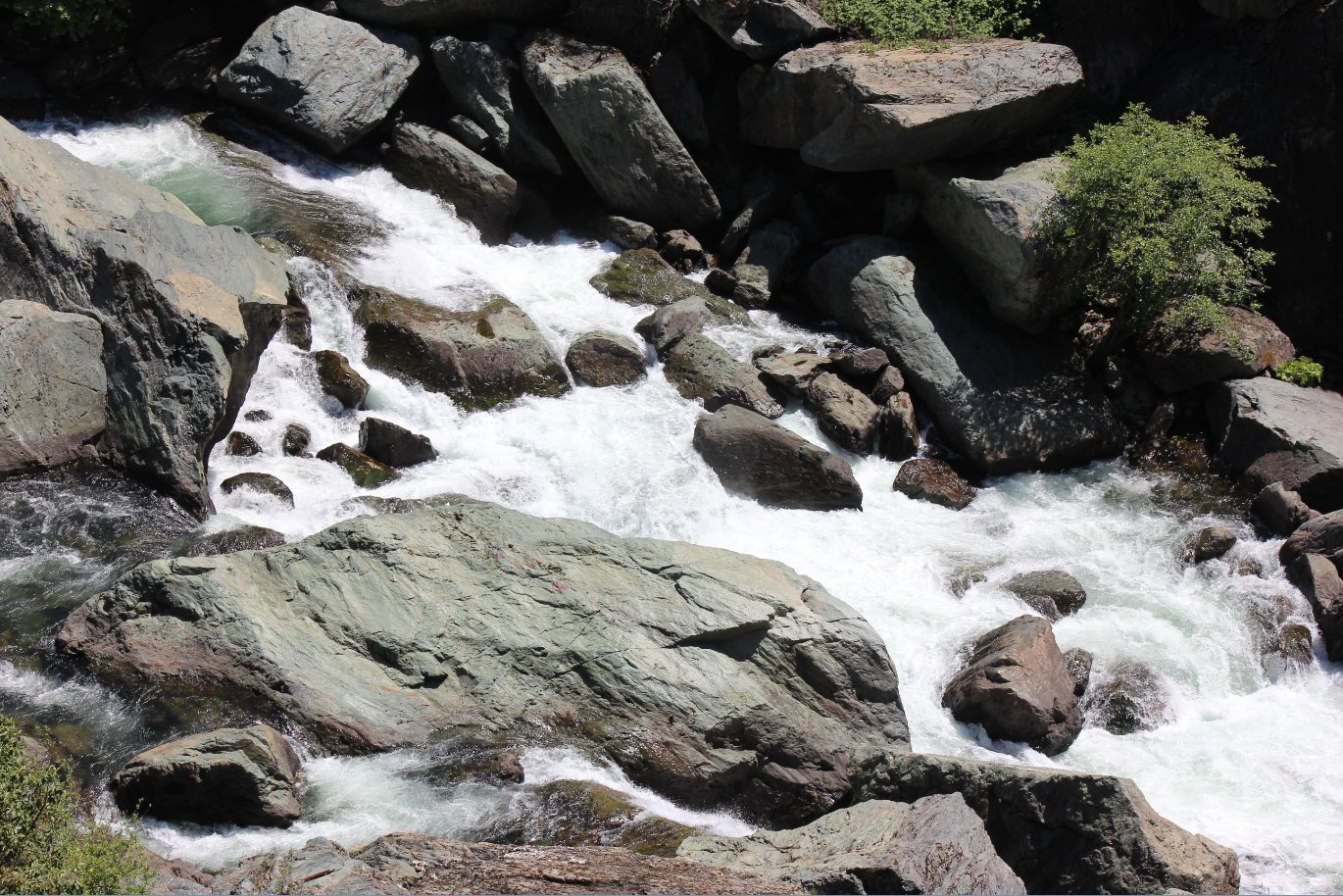
The
Ruck-a-Chucky falls area of the river, which was the name of the spot
at the end of our hike. Had a great view of the water from an
overlook spot on the trail. |
 |
|
Only one geocache along the
9.5 miles we hiked today, but it was a good one. |
 |
|
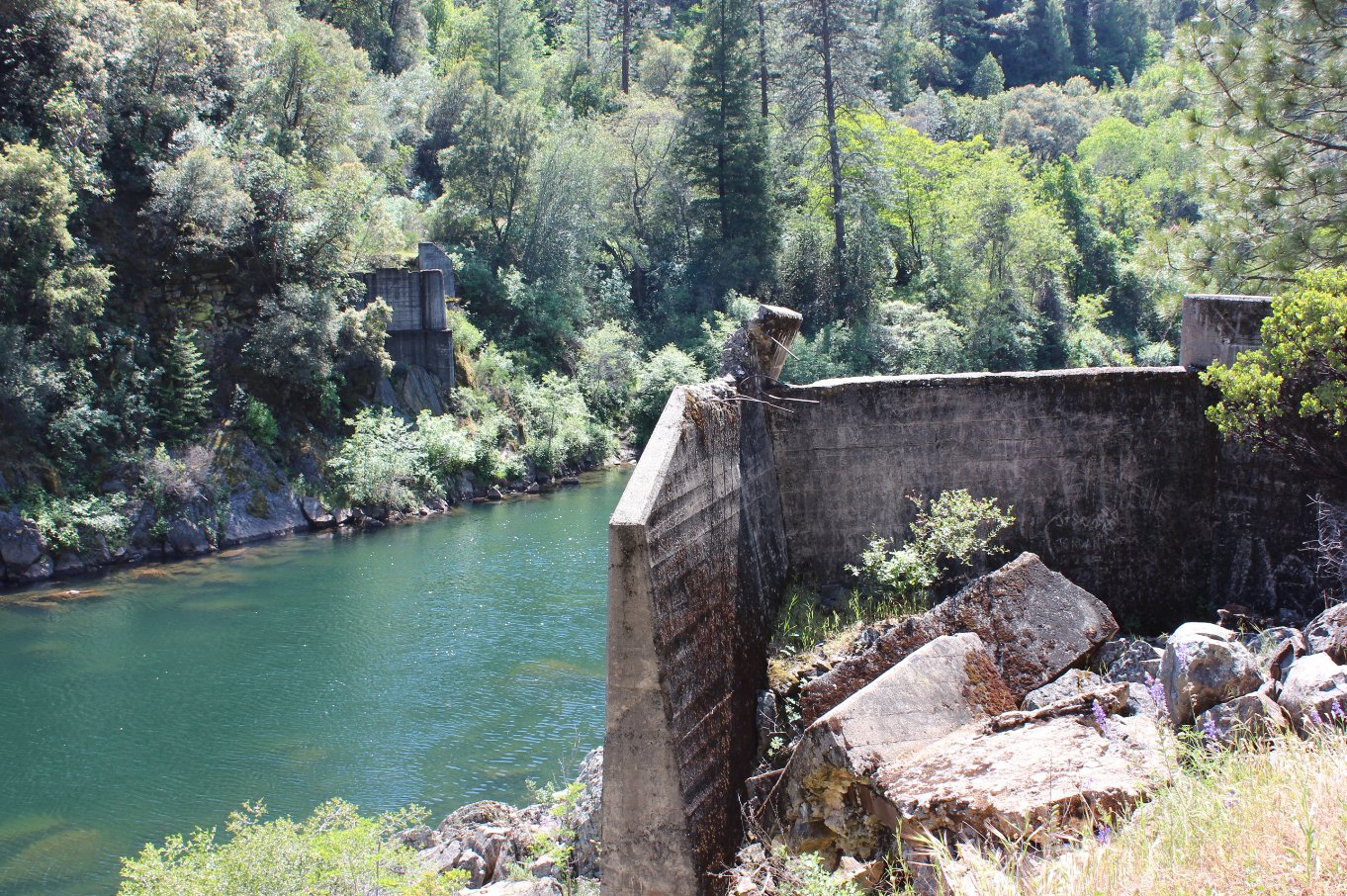
All that is left of the old
Greenwood Bridge across the middle fork. |
 |
|
With this being a car shuttle
hike and one car at the destination, we were able to fit 13 hikers into
the aforementioned truck! |
 |
|
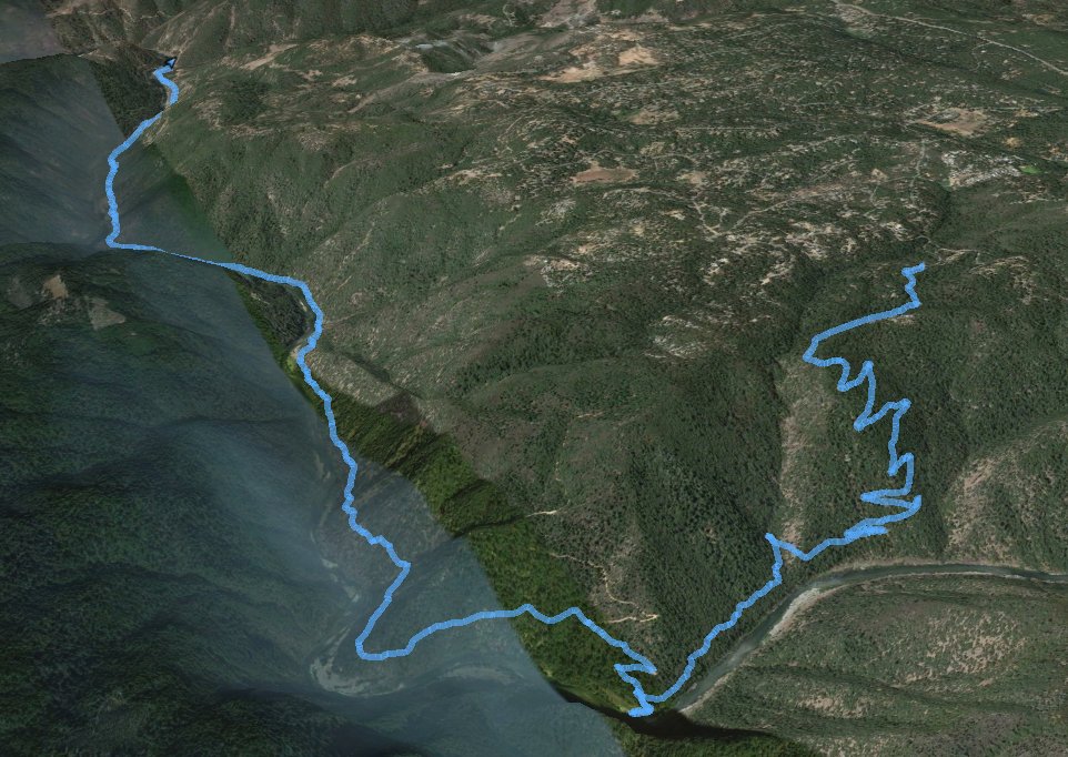
GPS Track of the full hike. |
 |