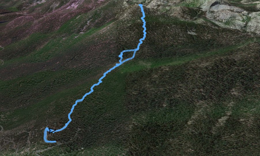
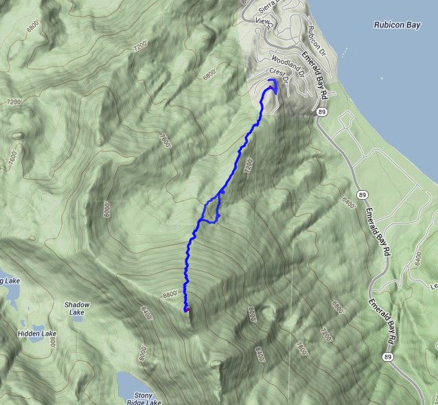
Distance: 4.6 Miles
Vertical Gain: 2300'
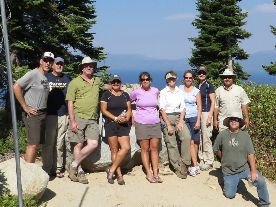
Group Size: 1
Hike Rating: Easy Moderate Hard Strenuous
 GPX for
this trip
GPX for
this trip

| Start Coordinates: | N 39 00.629, W 120 07.370 | End Coordinates: | Same as Start Coordinates | ||
| Car Shuttle Req'd: | No | Parking Directions: | Take Highway 89 on the west side of Lake Tahoe to Scenic Drive. Head up the drive and turn right at the T, which is a continuation of Scenic Drive. Make the first left, then turn left on Woodland Drive. Turn right on Manzanita Way, the road bends back around and then turn left on Lakeview. Turn right on Forestview Drive, and then left on Highview Drive. Turn right on Highland Drive and then park at the coordinates provided, making sure not to block the emergency access gate. | ||
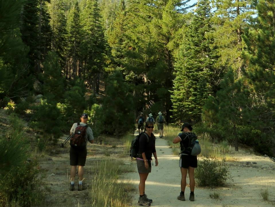
| Hazards of Note: | None. | Crowd Factor: | Minimal. This is a use trail to the top of the mountain and not heavily used. | ||
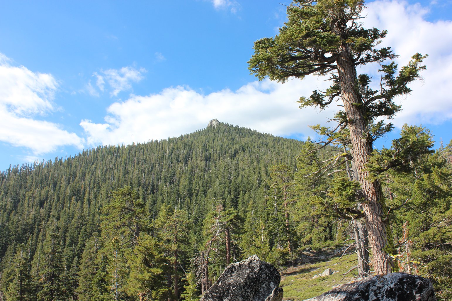
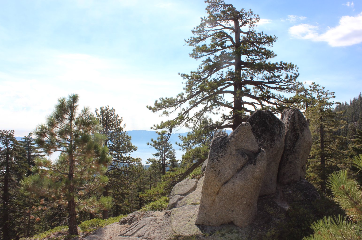
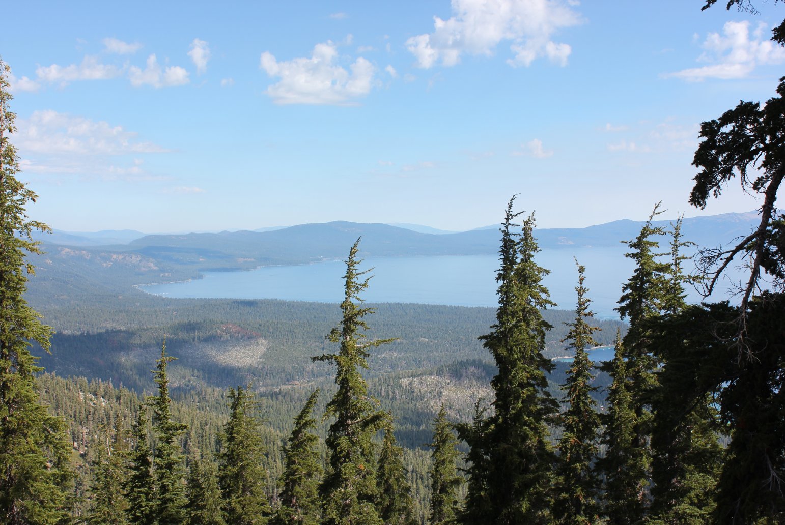
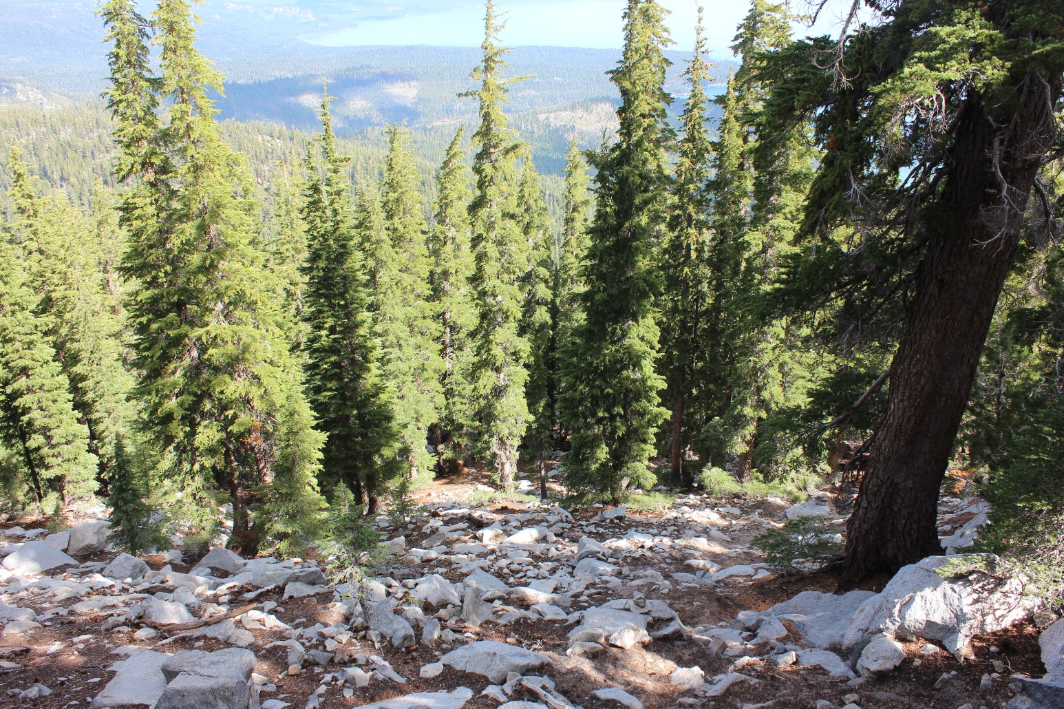
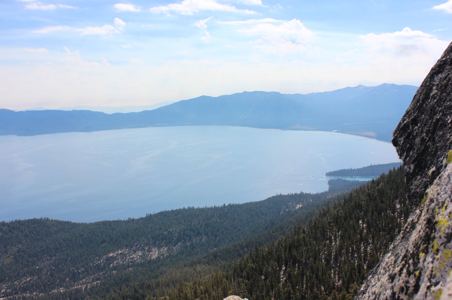
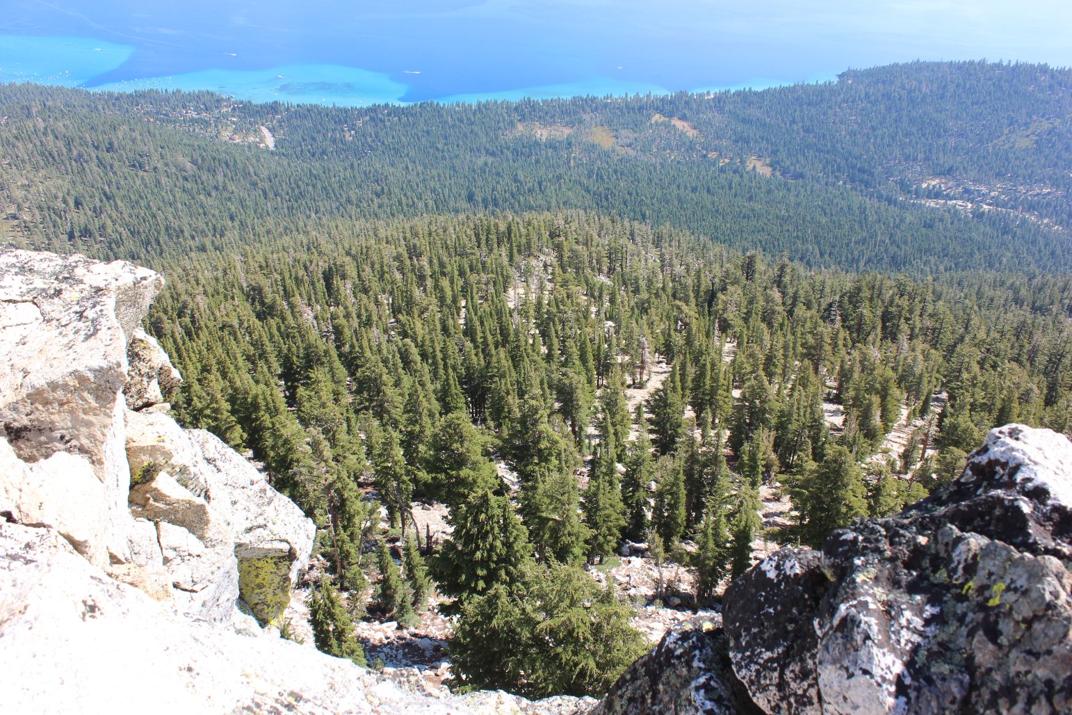
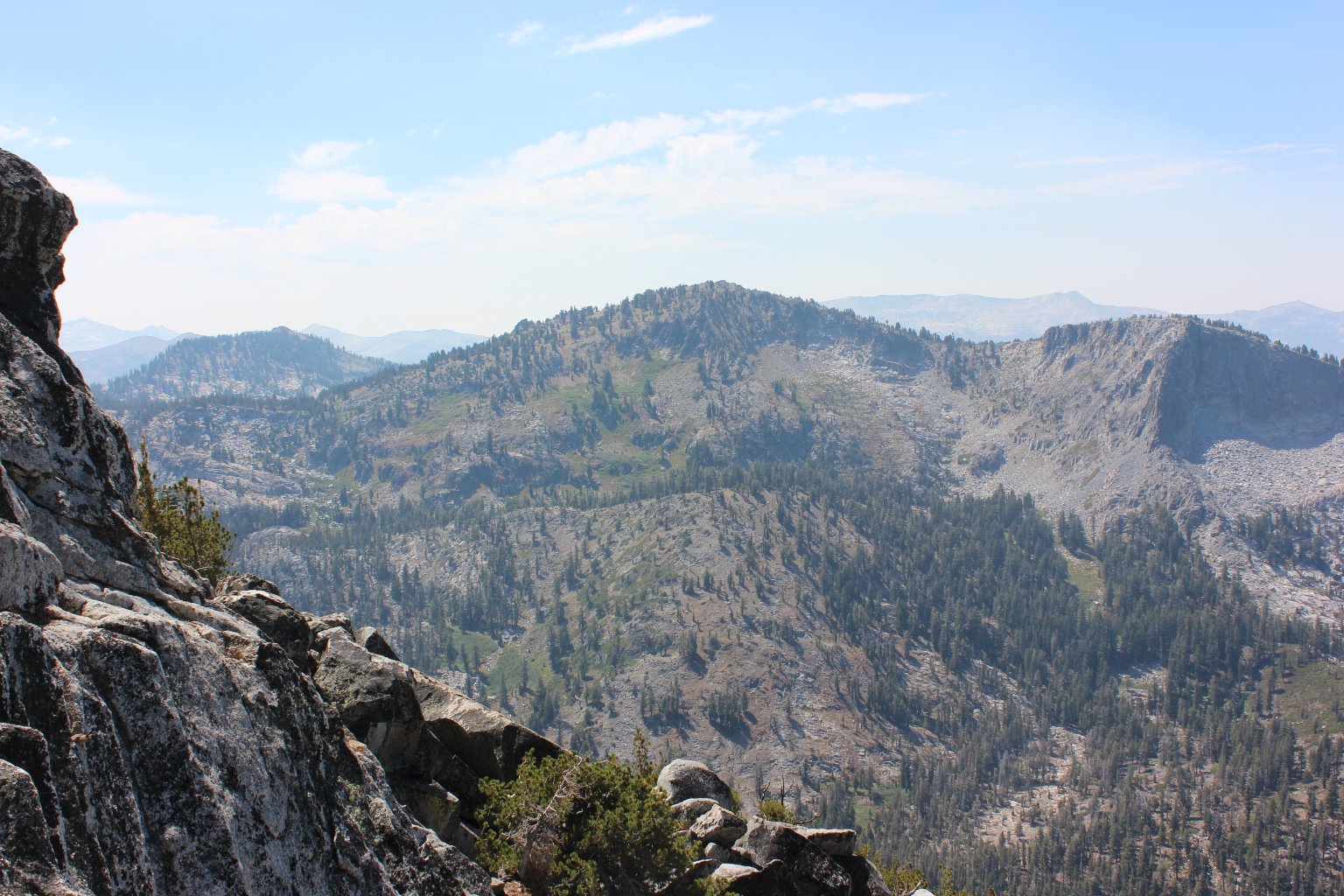
| General Notes: From the parking area on the side of the road, walk past the gate and head toward the obvious peak a couple of miles ahead. Most of the trail is easy to follow, but for the most part simply climbs straight up toward the peak at a very steep angle. When you near the peak, head to the right of the rock formation, and circle around from the north side to climb up to the very top from this direction. |
|||||