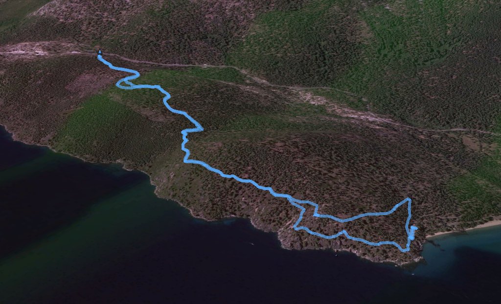
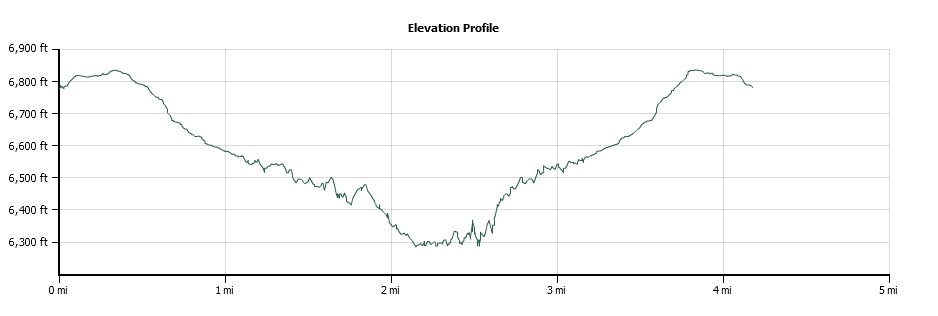
Back to index Rubicon Trail (Emerald Bay) hike
Trip Date:  05/24/2014

Distance
: 4.1 Miles

Vertical Gain: 500'

Group Size: 19

Hike Rating:  Easy   Moderate    Hard    Strenuous
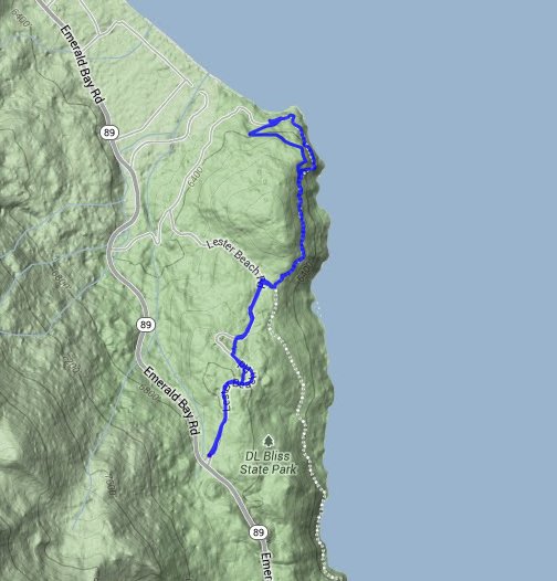
Rubicon Trail route
Download GPX GPX for this trip
Rubicon Trail Elevation Profile
Start Coordinates:   N 38 58.710, W 120 06.170     End Coordinates:   Same as Start Coordinates  
Car Shuttle Req'd:   No Parking Directions:   Take Highway 89 to Lester Beach road.  Turn right and park at the coordinates listed on this page.
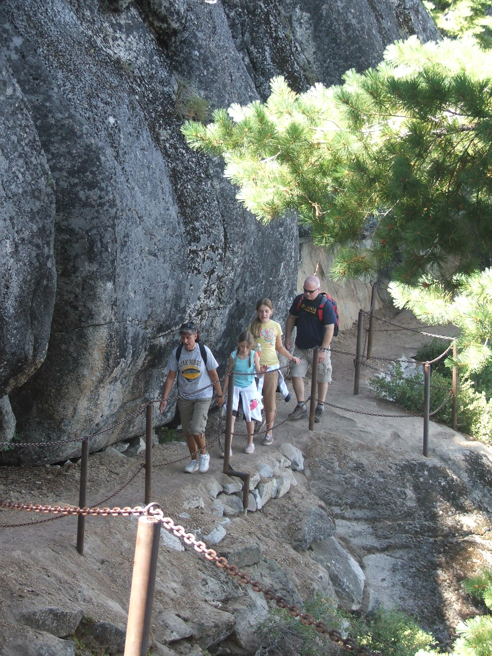
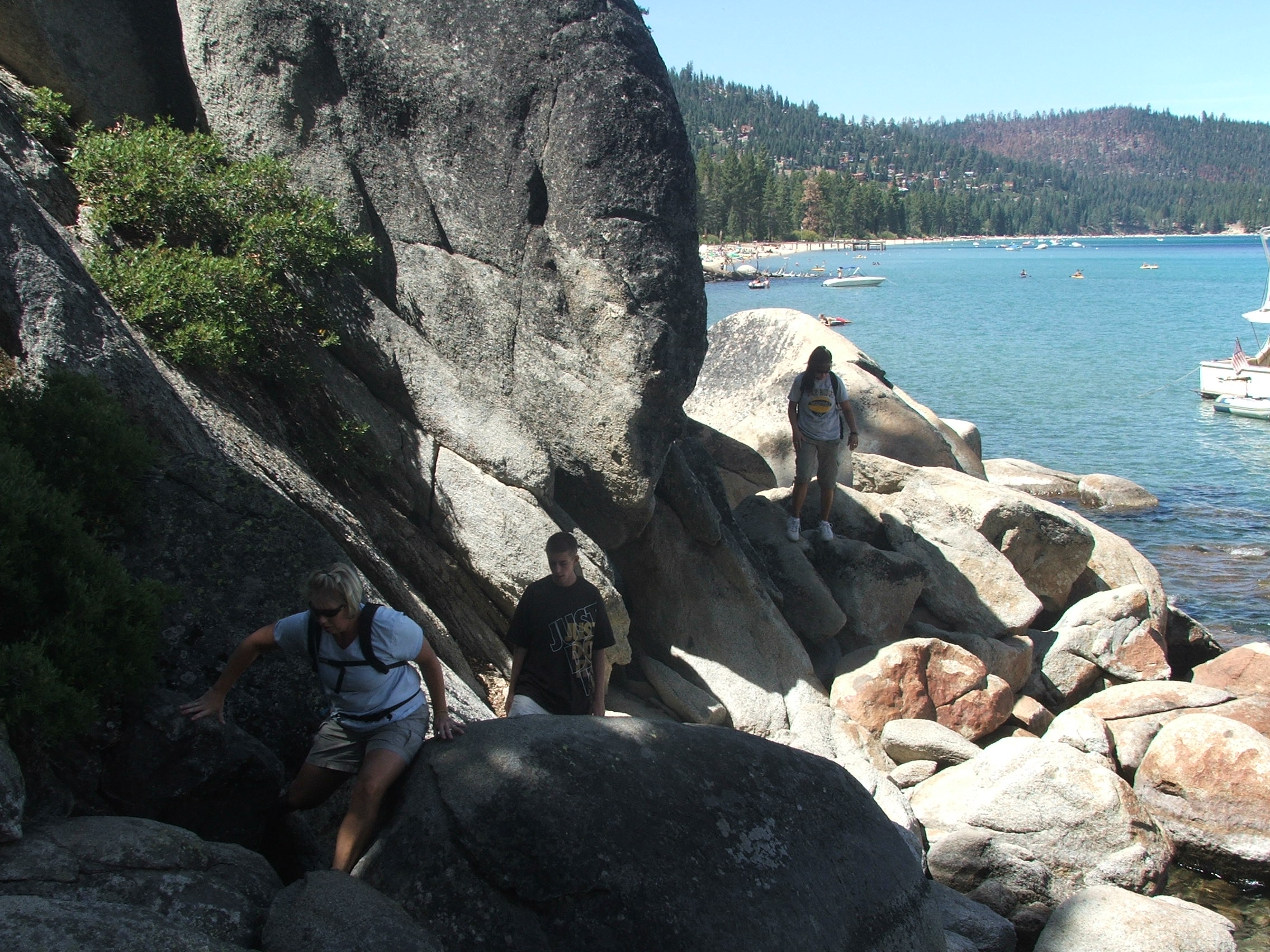
Hazards of Note:   None. Crowd Factor:   High.  This is a very accessible and scenic trail which is frequented by hikers from all over the world.
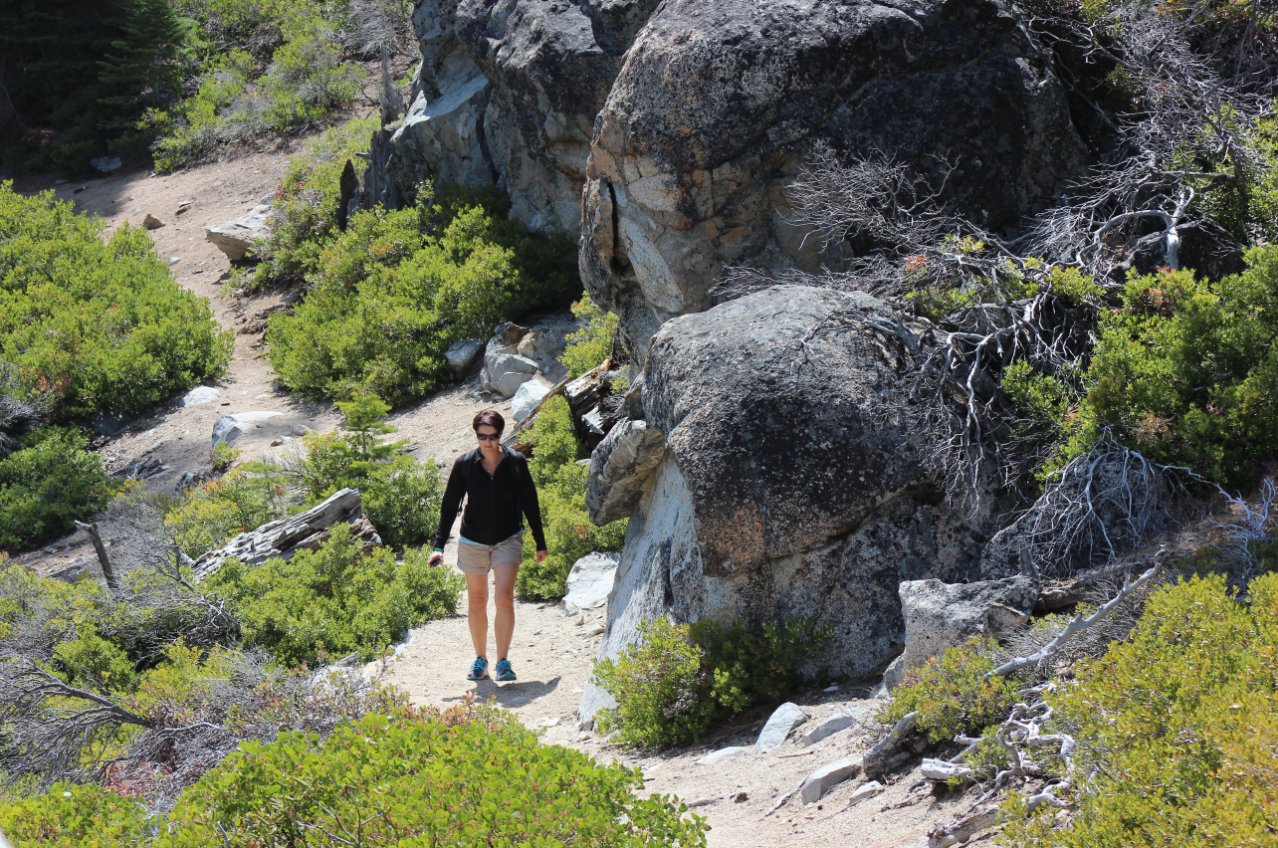
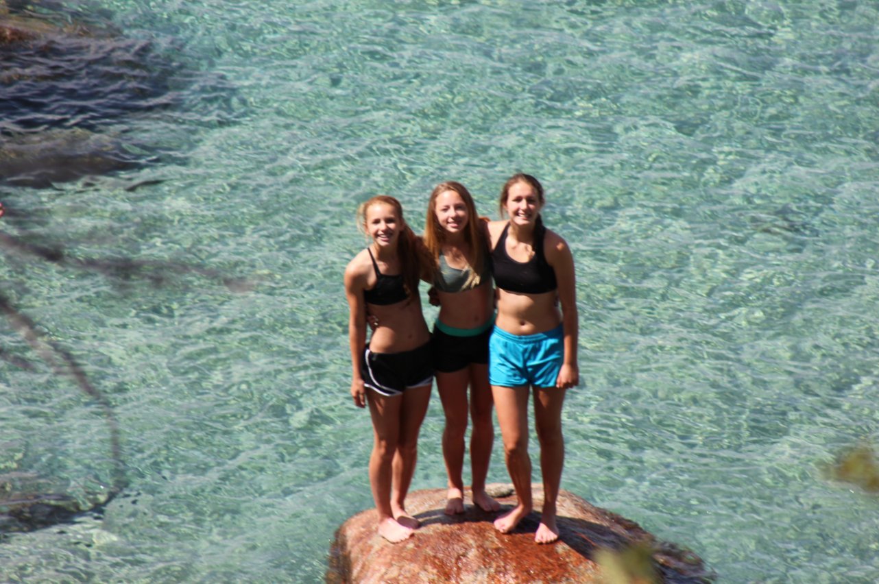
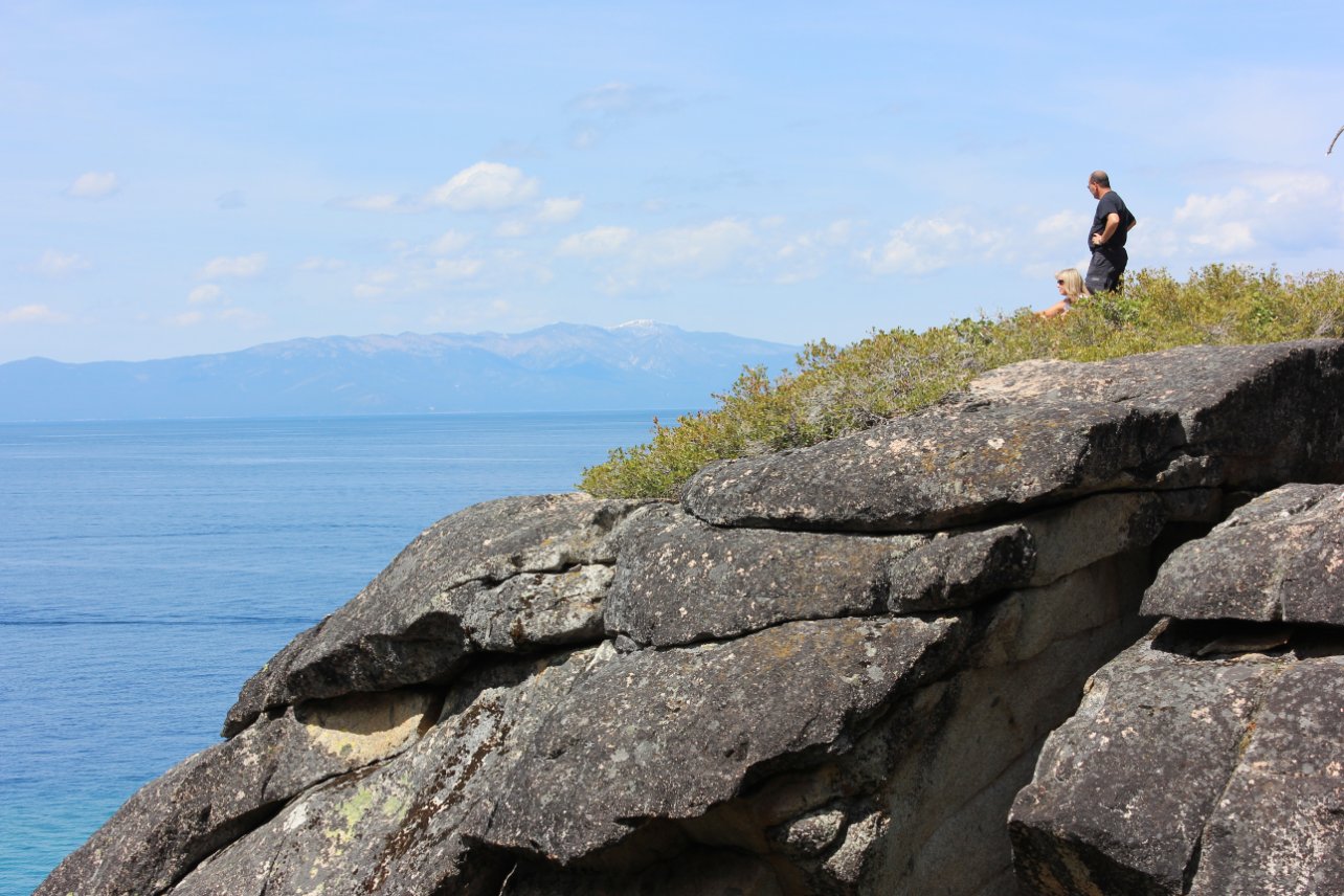
General Notes:
The parking area as noted is free, but will add about a mile to the distance involved with this hike.  You can continue down the road and pay to enter the state park (DL Bliss) if desired.  Most of the hike is flat and drops just a bit in elevation as you get closer to the beach.  The section that starts at the beach parking area and parallels the shoreline is one of the most spectacular scenic hikes in the entire Tahoe area.

Parts of the trail go right along the edge of the cliffs. Hiking along the edge
There were many places along the way for the group  to stop and get a picture. Group of kids enjoying the trek
Taking the Lighthouse trail allows a loop to be made.  This part of the trail is not as close to the cliffs as the Rubicon Trail section is. Climbing the Lighthouse trail
The views from the Lighthouse Trail up toward Desolation Wilderness and Mt. Tallac specifically were pretty amazing. Lighthouse trail views
There is a nice beach area to swim at the turnaround point of the Lighthouse and Rubicon Trails. Swimming near the trail split
Some rocky terrain near the beach allows for some fun exploring. Bliss rocks 
Sweeping vistas from the trail are everywhere and they are pretty amazing.
Viewpoints
The group found a nice rocky backdrop for one last picture along the way. Group again
Parts of this section of trail were cut right out from the rock. Our lunch rock
Some of the group checking out the views from a sunny viewpoint.
Overlook
GPS Track of the full hike. GPS Track of Hike