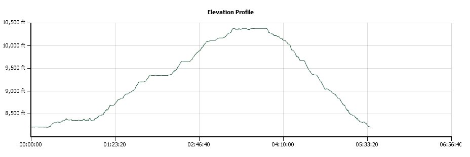
Distance: 7.4 Miles
Vertical Gain: 2200'
Group Size: 4
Hike Rating: Easy Moderate Hard Strenuous
 See
video of hike
See
video of hike
 GPX
for
this trip
GPX
for
this trip
| Start Coordinates: | N 38 41.503, W 120 00.570 | End Coordinates: | Same as Start Coordinates | ||
| Car Shuttle Req'd: | No | Parking Directions: | Take Highway 88 to the Woods Lake Road just east of Caples Lake. Head down the paved road to the parking area for Woods Lake, and there is a fee to park in this location. The trailhead for this hike is just to the south from the parking spots. | ||
| Hazards of Note: | Weather in this area can
change quickly so be prepared for various temperatures and rain. |
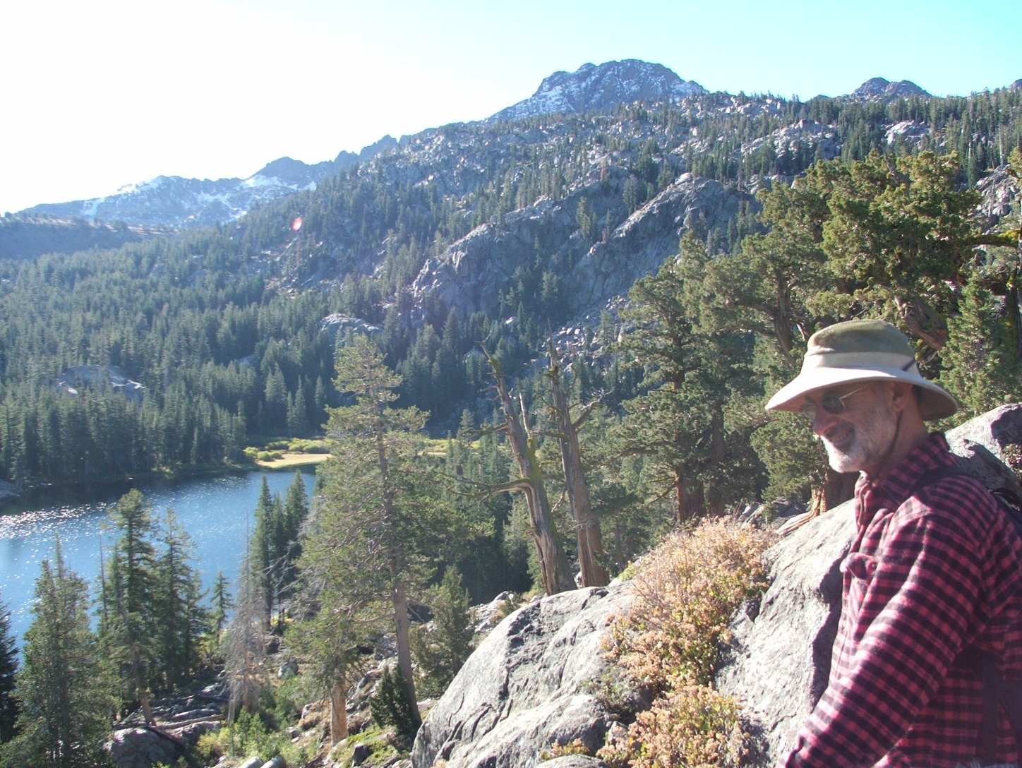
Crowd Factor: | Moderate. This is a popular hike, especially in the spring and early summer for the spectacular wildflower displays along the trail. | ||
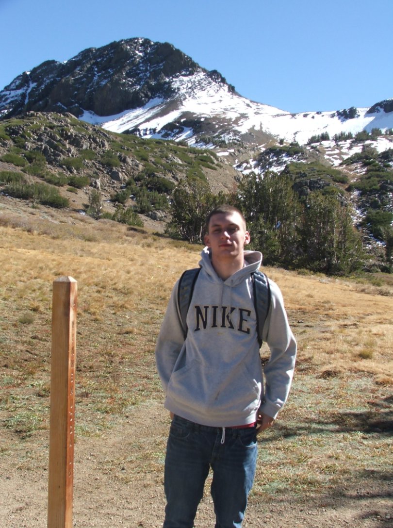
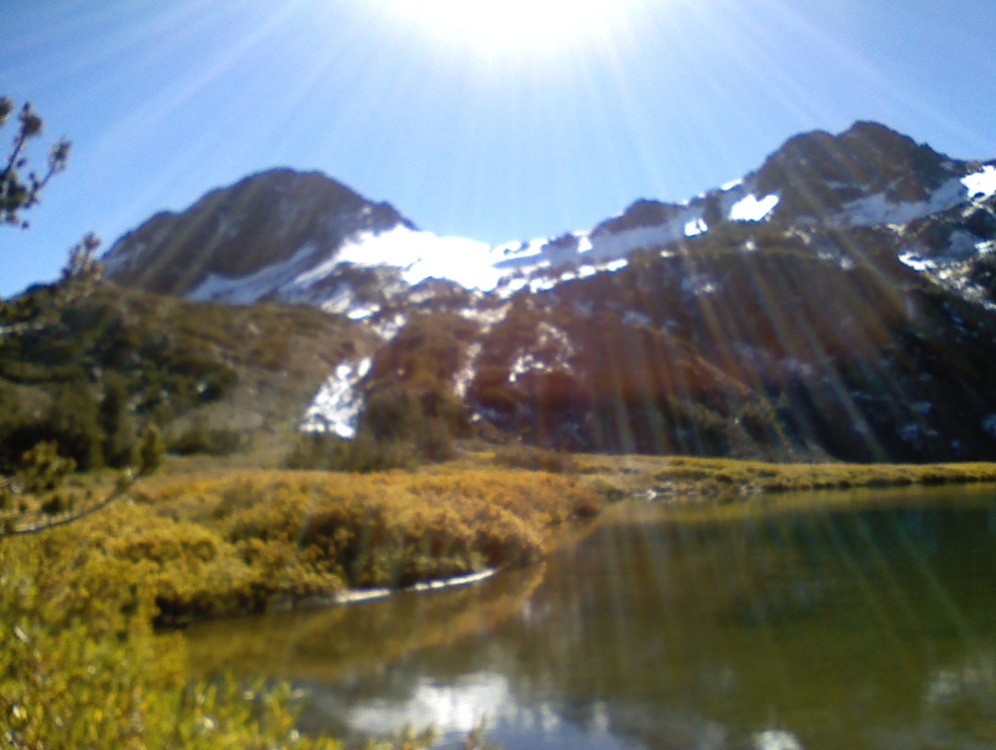
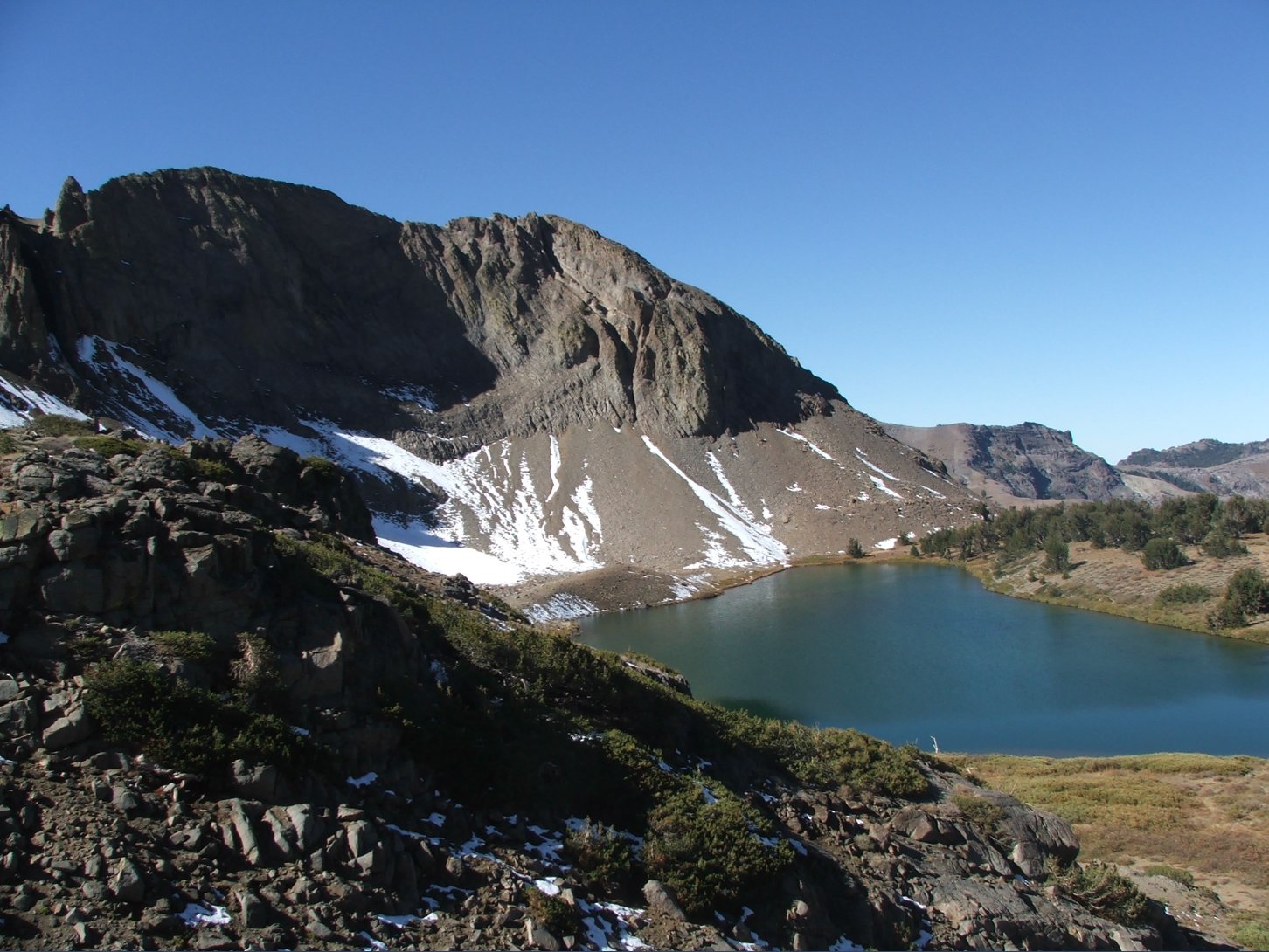
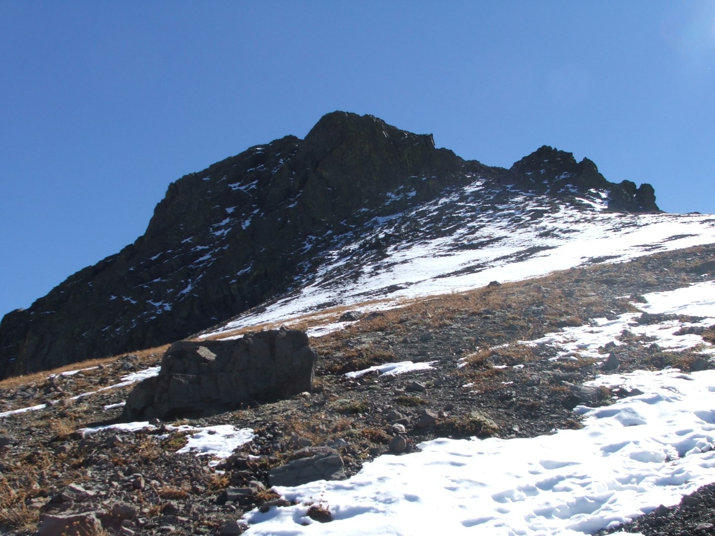
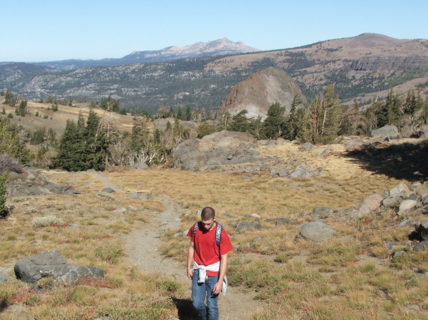
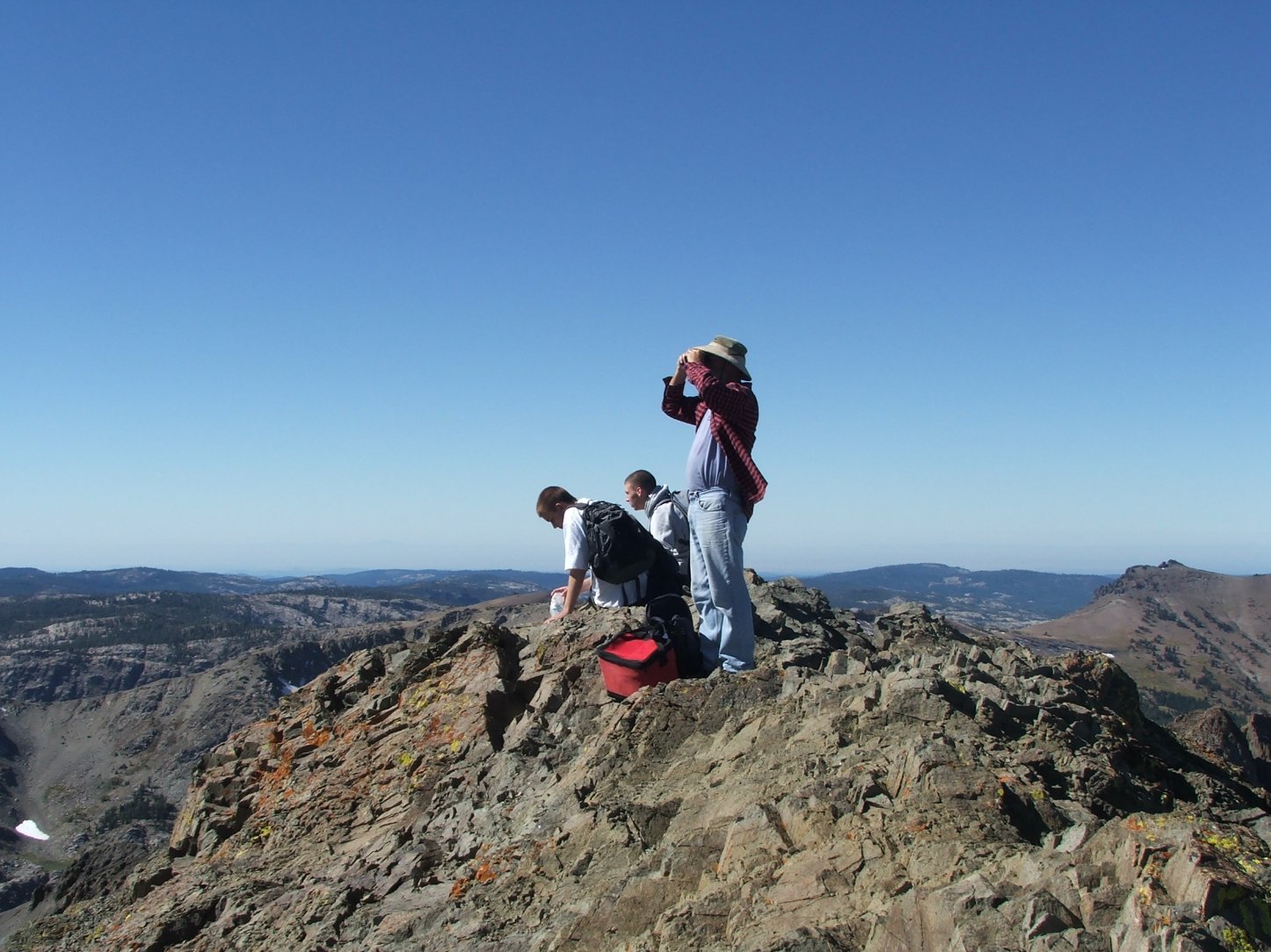
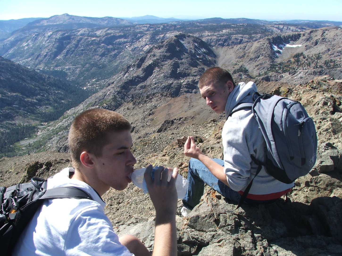
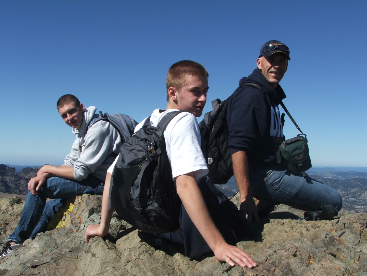
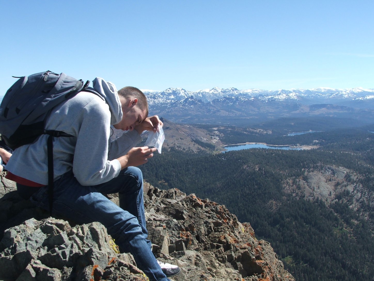
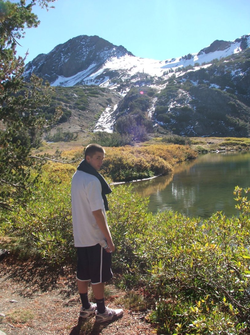
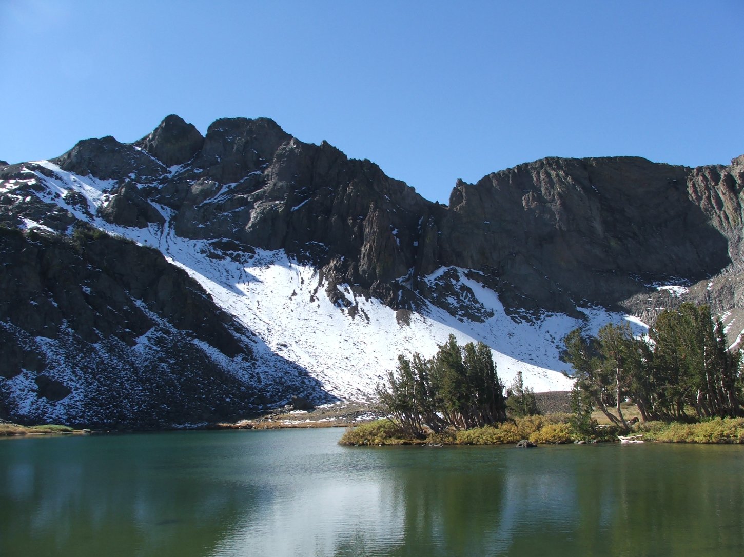
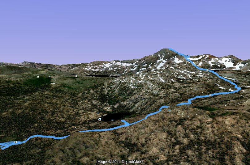
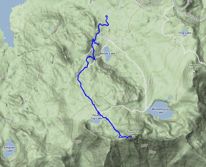
| General Notes: From the parking area head south for the Lost Mine Trail. You will pass to the west of Woods Lake, seeing it from a distance but never getting very close to it. The trail climbs continually up toward Round Top Lake, where you will then follow a use trail up to the south aiming for a gap just to the right (west) of the actual Round Top Peak. When you reach this gap, head up toward the top of Round Top, climbing class 3 rock as you make your way to the top. |
|||||